Road Route to Mont Chetail
A road cycling route starting from Crottet
A challenging road route with a climb to Mont Chetail
Map
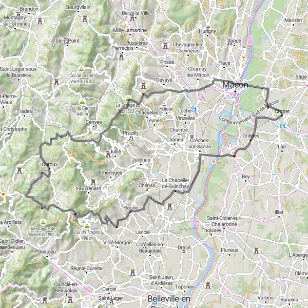
Embark on this challenging 83-kilometer road route from Crottet to Mont Chetail. With a grueling ascent of 1264 meters, it is suitable for well-trained amateur cyclists seeking a test of their endurance. Along the way, you'll encounter picturesque villages and breathtaking landscapes that make this route both physically demanding and visually rewarding.
road
83 km
1264 m
Savage
Route profile
Highlights on the route
0 km
0 km
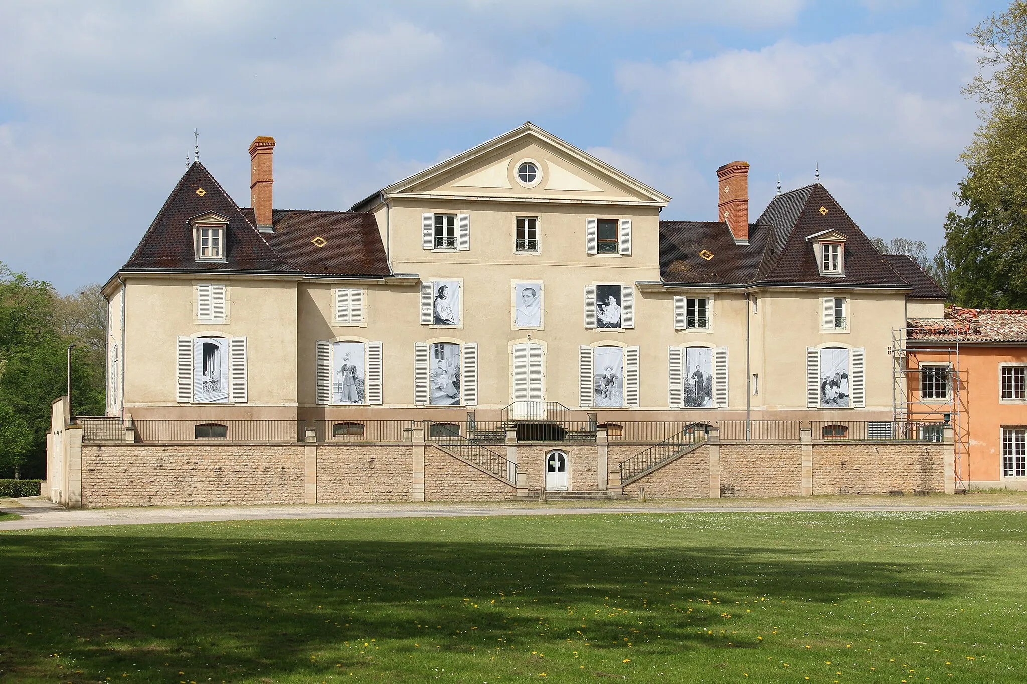
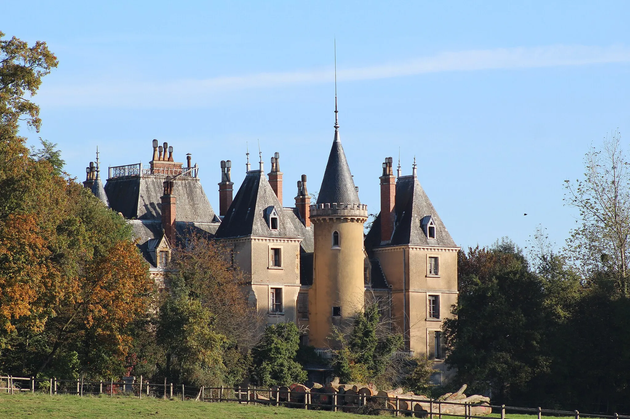
Start: Crottet Village centerCrottet: Cycling through the Vineyards of Rhône-Alpes
Crottet is a charming locality in Rhône-Alpes, France, with numerous cycling opportunities for road and gravel cyclists. The area offers a mix of flat roads and rolling hills, making it suitable for cyclists of all levels. Crottet is close to scenic vineyards and picturesque towns, providing beautiful backdrops for cycling routes. Nearby, cyclists can venture into the Jura Mountains, where they will find famous climbs like Col de la Faucille. With its stunning landscapes and well-maintained roads, Crottet is a great destination for cycling enthusiasts.5 km
5 km
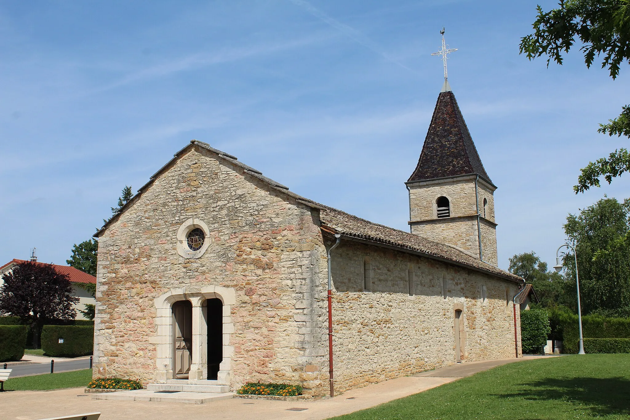
GriègesVillagePass through the charming village of Grièges and take a moment to admire its traditional architecture.
28 km
28 km
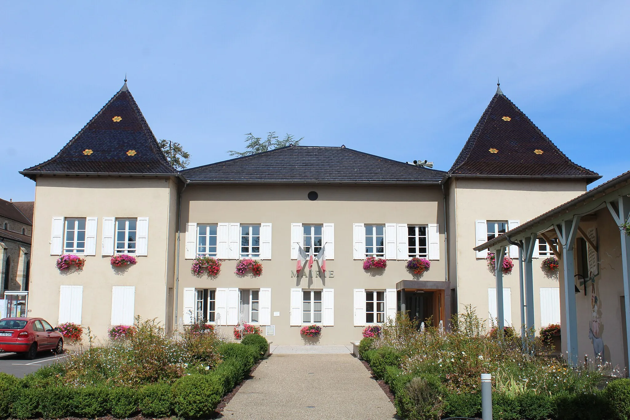
ChiroublesVillageClimb towards Chiroubles and marvel at the panoramic views of vineyards and rolling hills.
42 km
42 km
Mont Chetail696 mPeakConquer the challenging ascent to Mont Chetail, a popular spot for cycling enthusiasts due to its breathtaking views at the top.
49 km
49 km
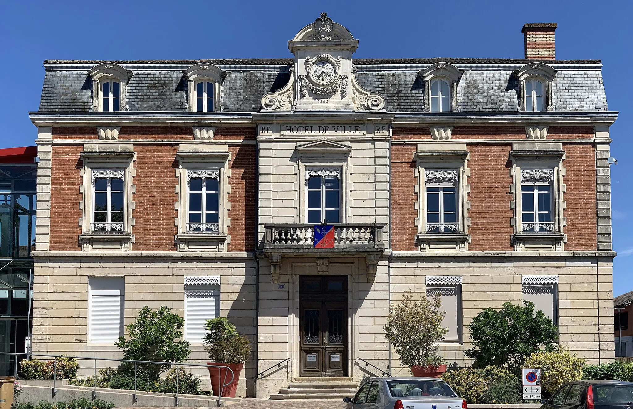
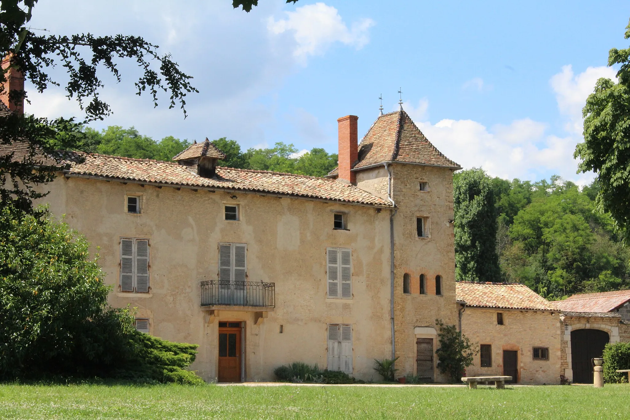
Saint-MamertVillagePause in Saint-Mamert and explore its charming streets and unique cultural heritage.
56 km
56 km
Col de la Sibérie611 mMountain PassChallenge yourself with the ascent to Col de la Sibérie, known for its tough gradient and stunning mountain views.
66 km
66 km
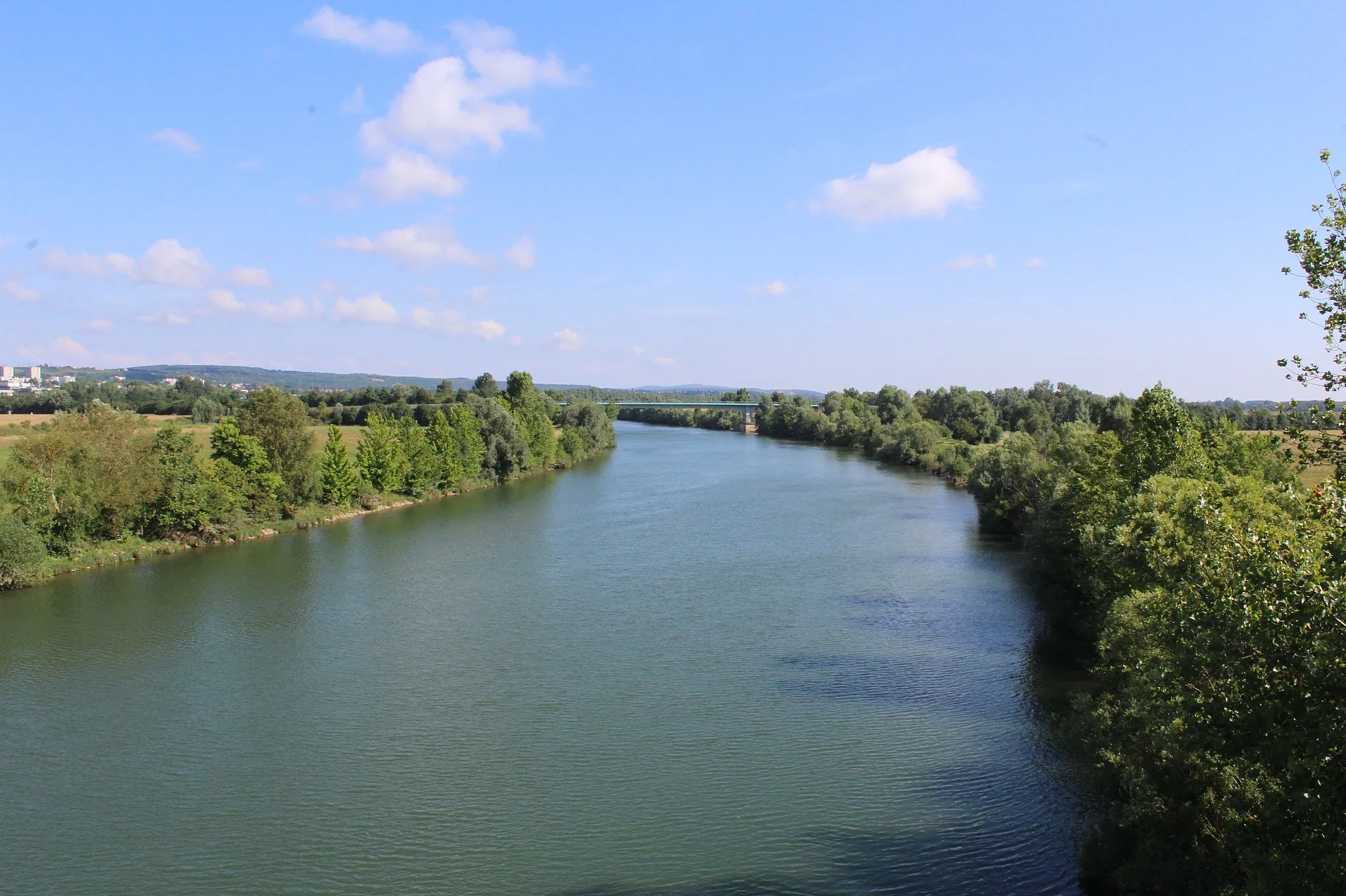
Solutré-PouillyVillageAdmire the iconic rock of Solutré-Pouilly, a geological feature that offers a stunning backdrop for your cycling journey.
76 km
76 km
Saint-Laurent-sur-SaôneVillageOn your way back to Crottet, stop in Saint-Laurent-sur-Saône and indulge in the village's rich history and culinary delights.
83 km
83 km
Finish: Crottet Village centerCrottet: Cycling through the Vineyards of Rhône-Alpes
Cycling routes from Crottet:
Explore Bâgé-le-Châtel and Marboz Grièges and Col de Gerbet Gravel Route with Riverside Views Road Route with Scenic Beauty Charnay-lès-Mâcon and Château Route Gravel Adventure to Bâgé-le-Châtel Gravel Route around Crottet Road Route to Mont Chetail Epic Climbs and Stunning Views Road Route to Bief Godard
Cycling routes nearby: