Thrilling climbs and scenic routes await in Dardilly.
Cycling routes from Dardilly
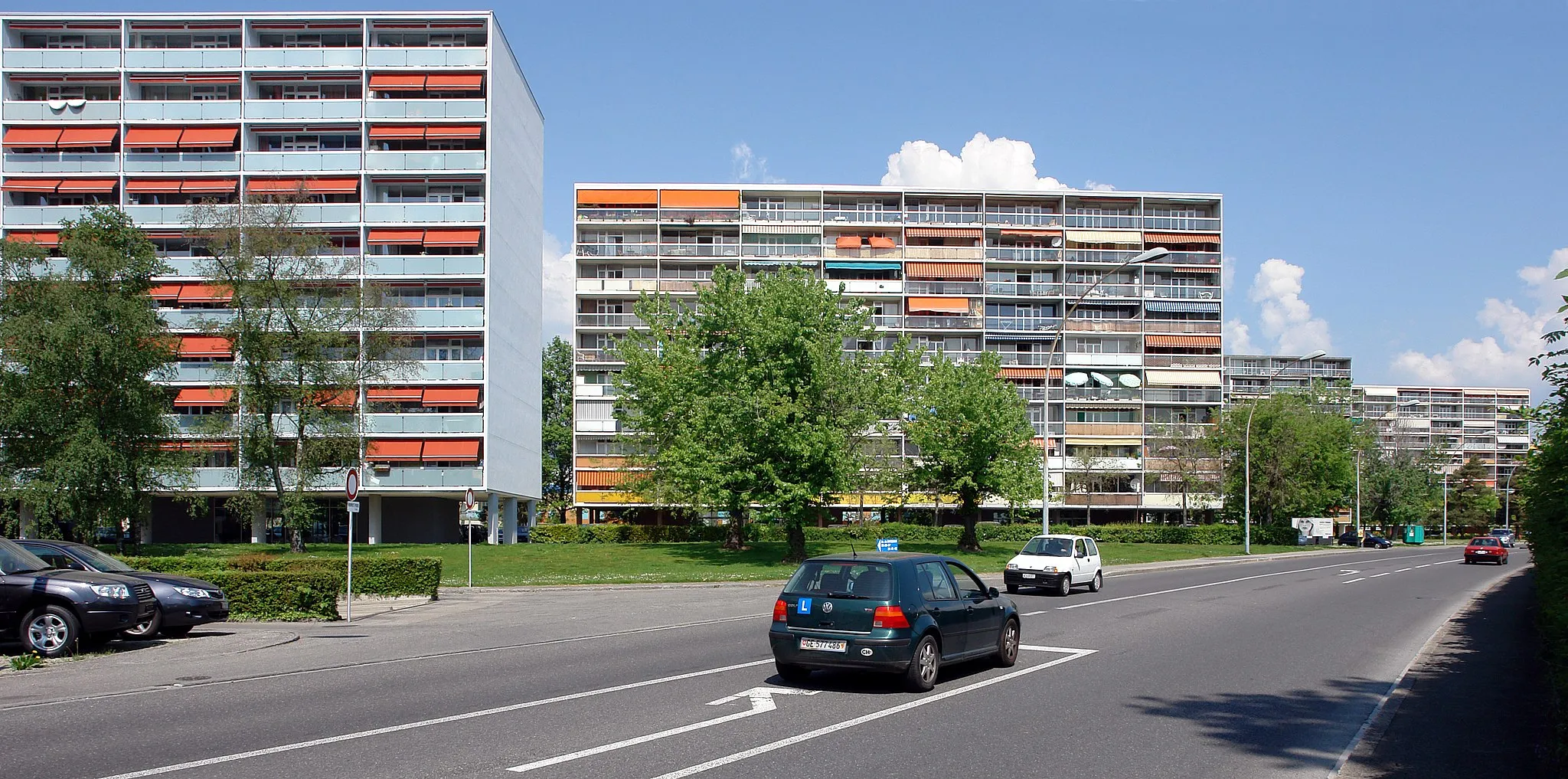
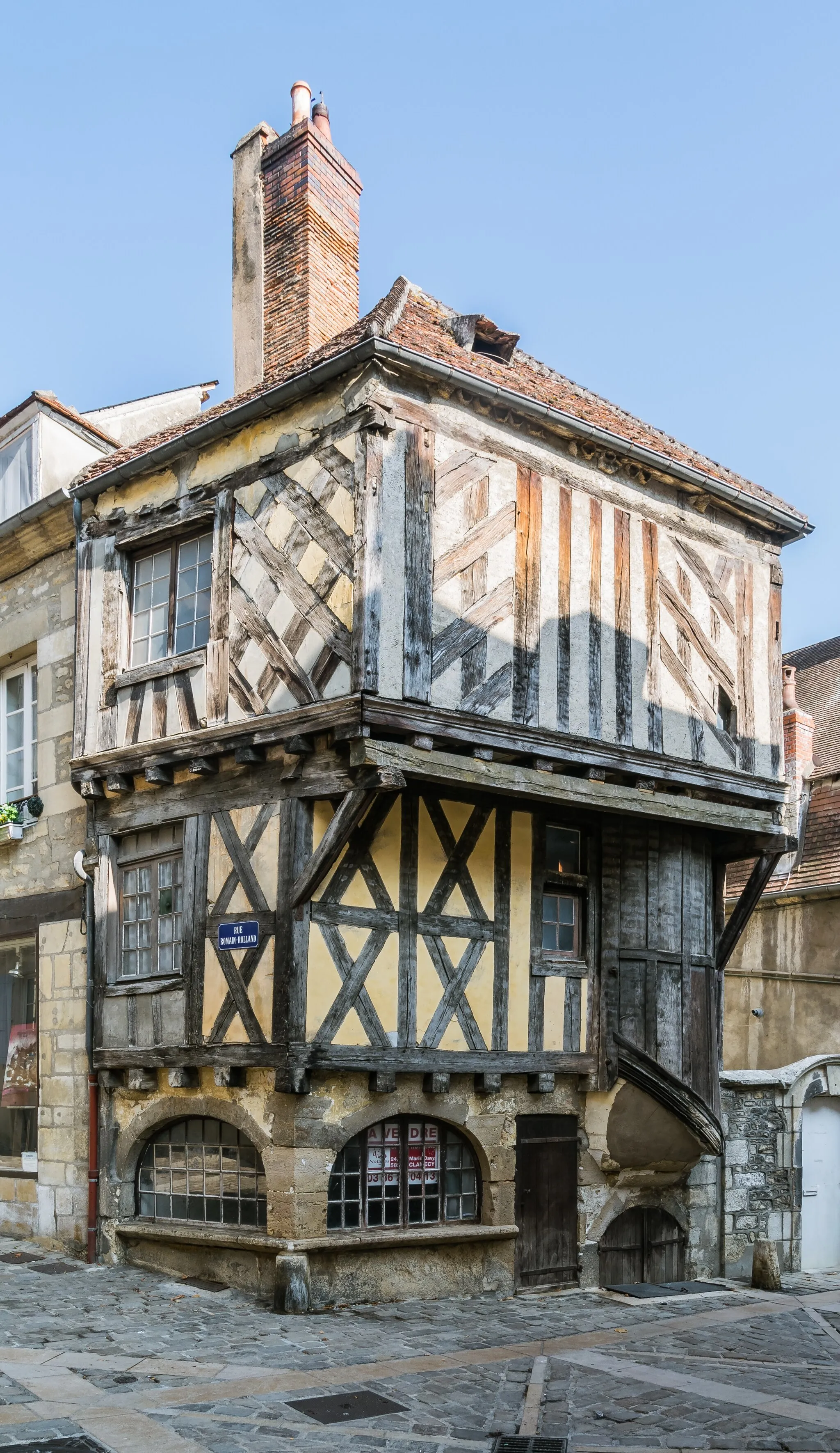
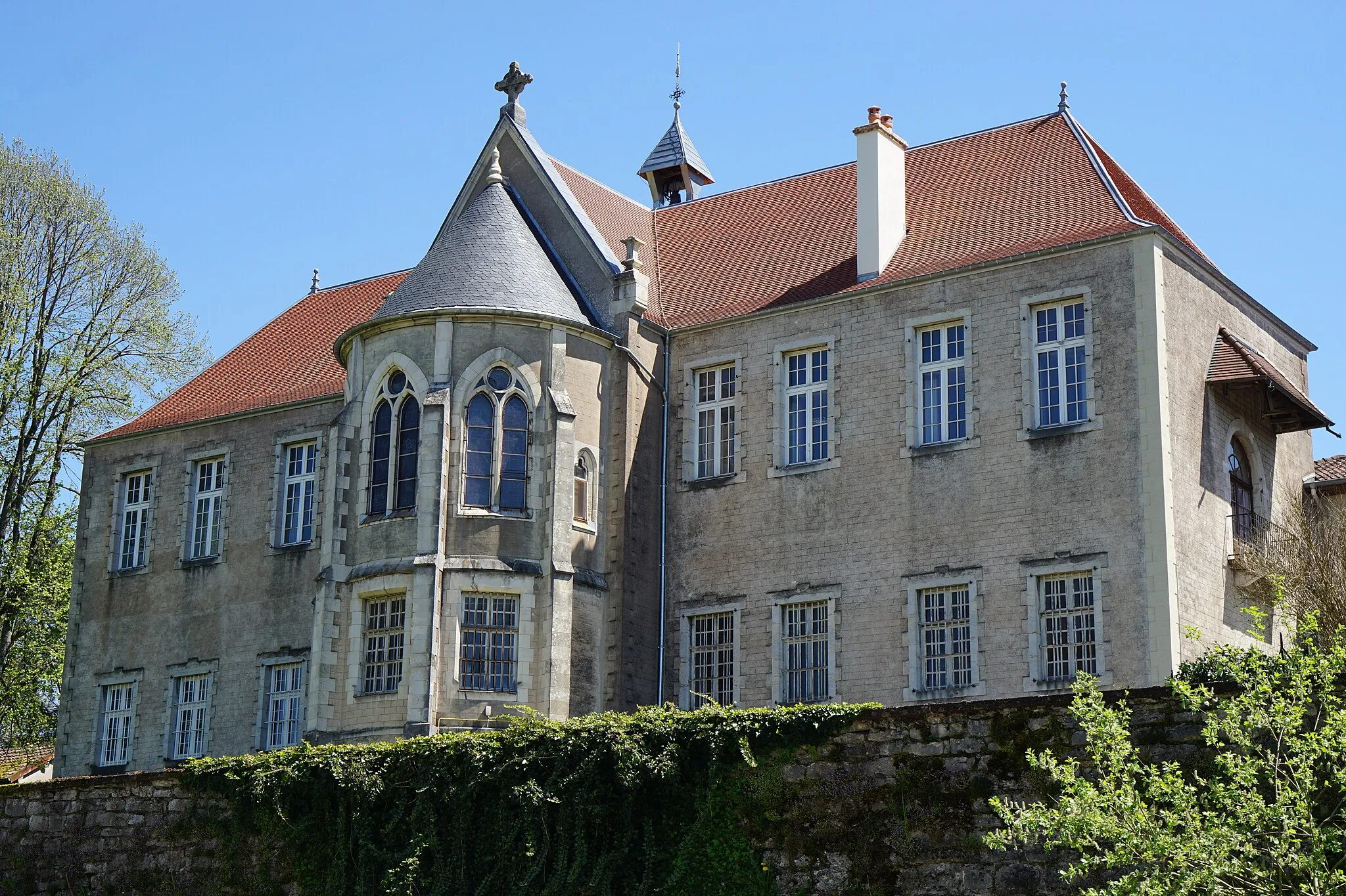
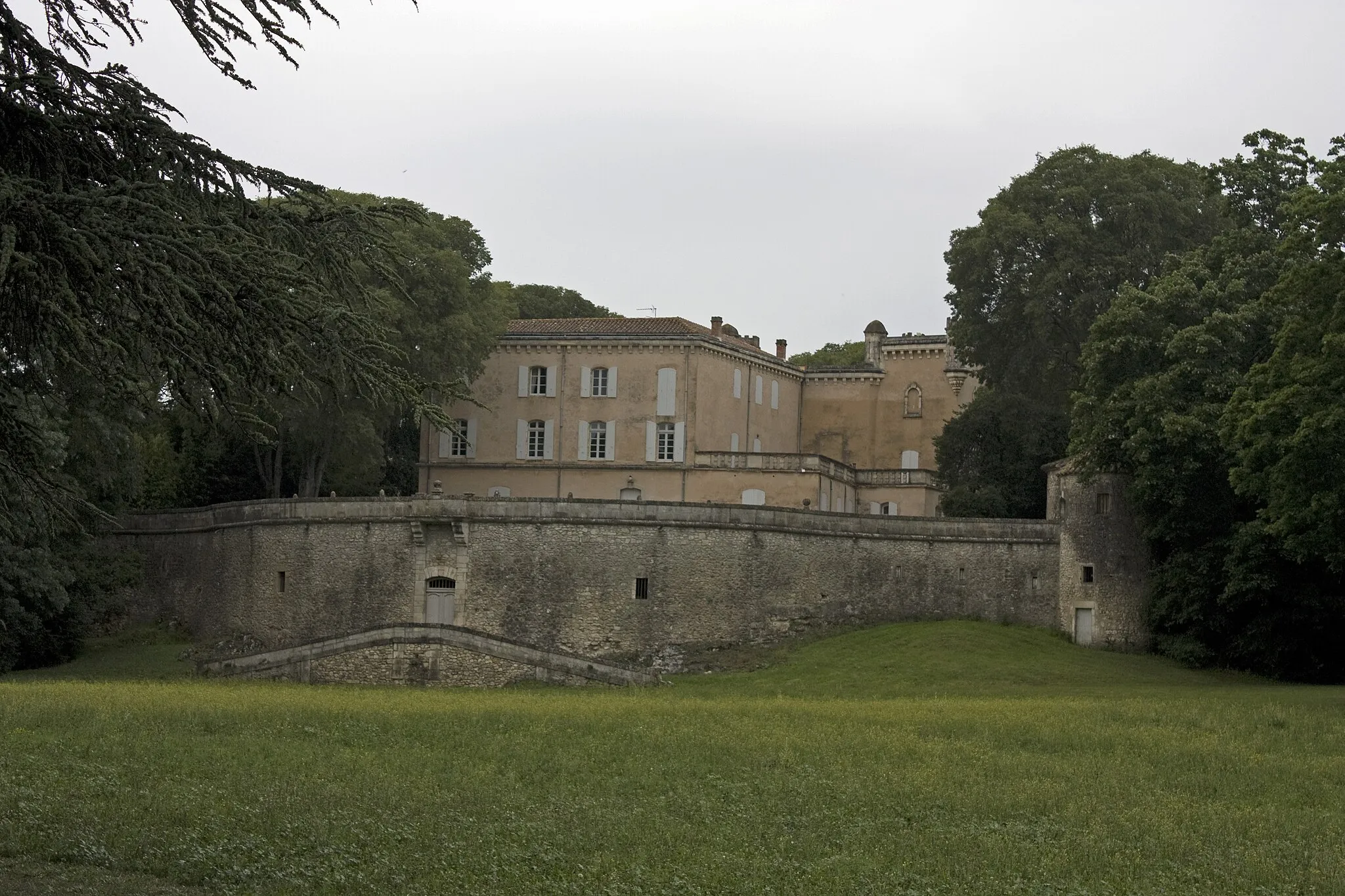
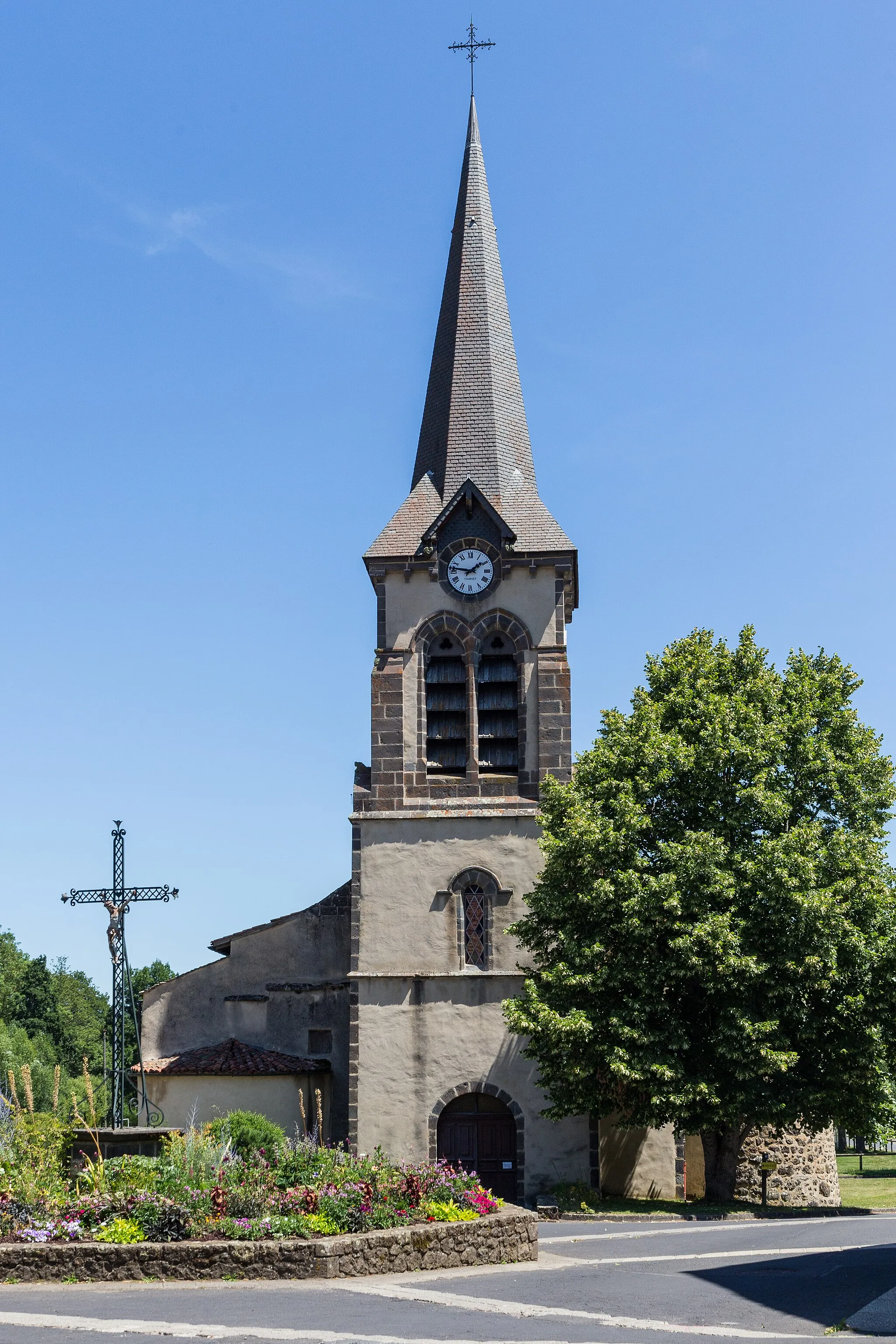
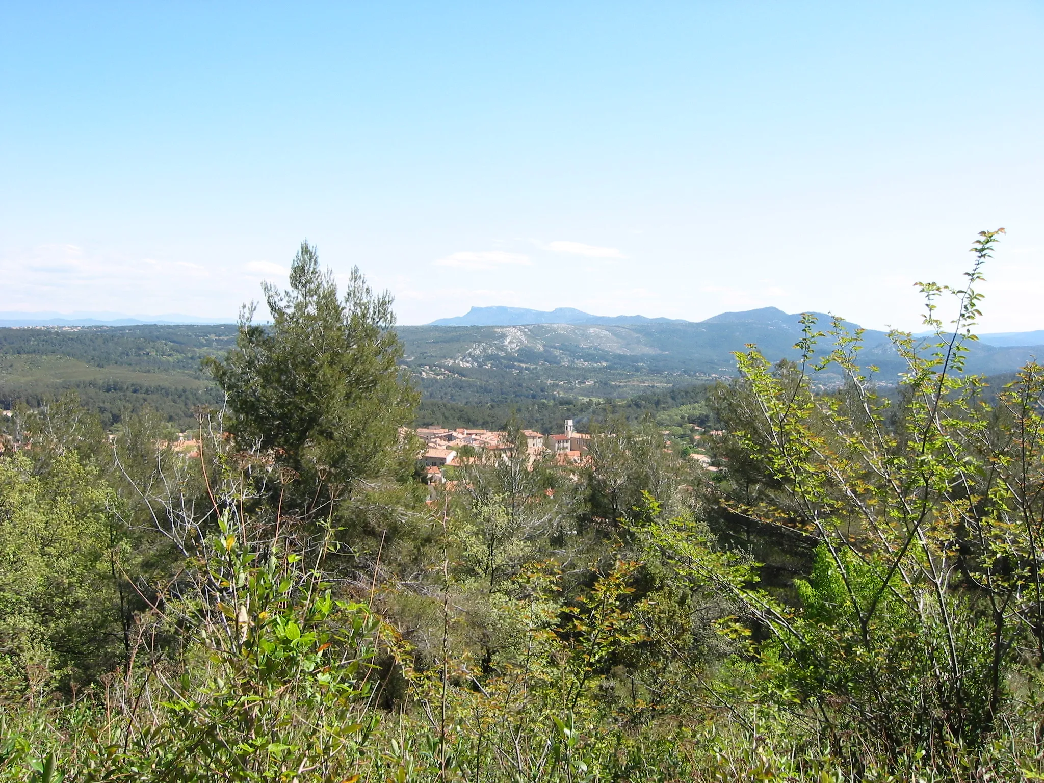
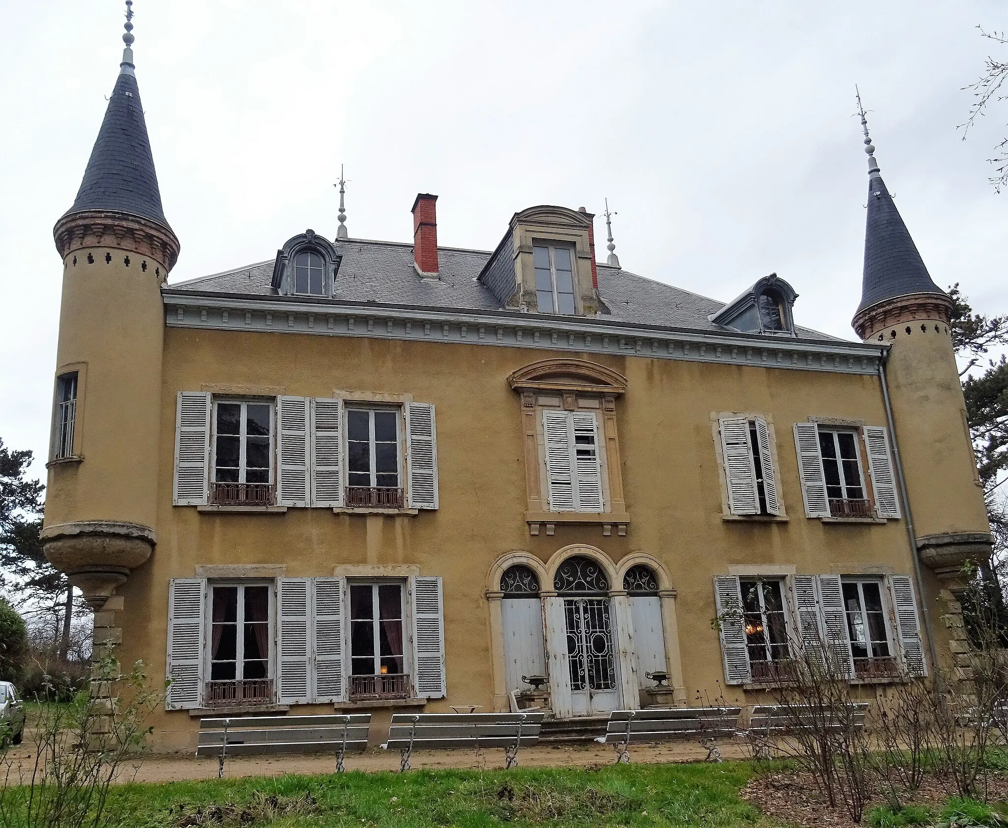
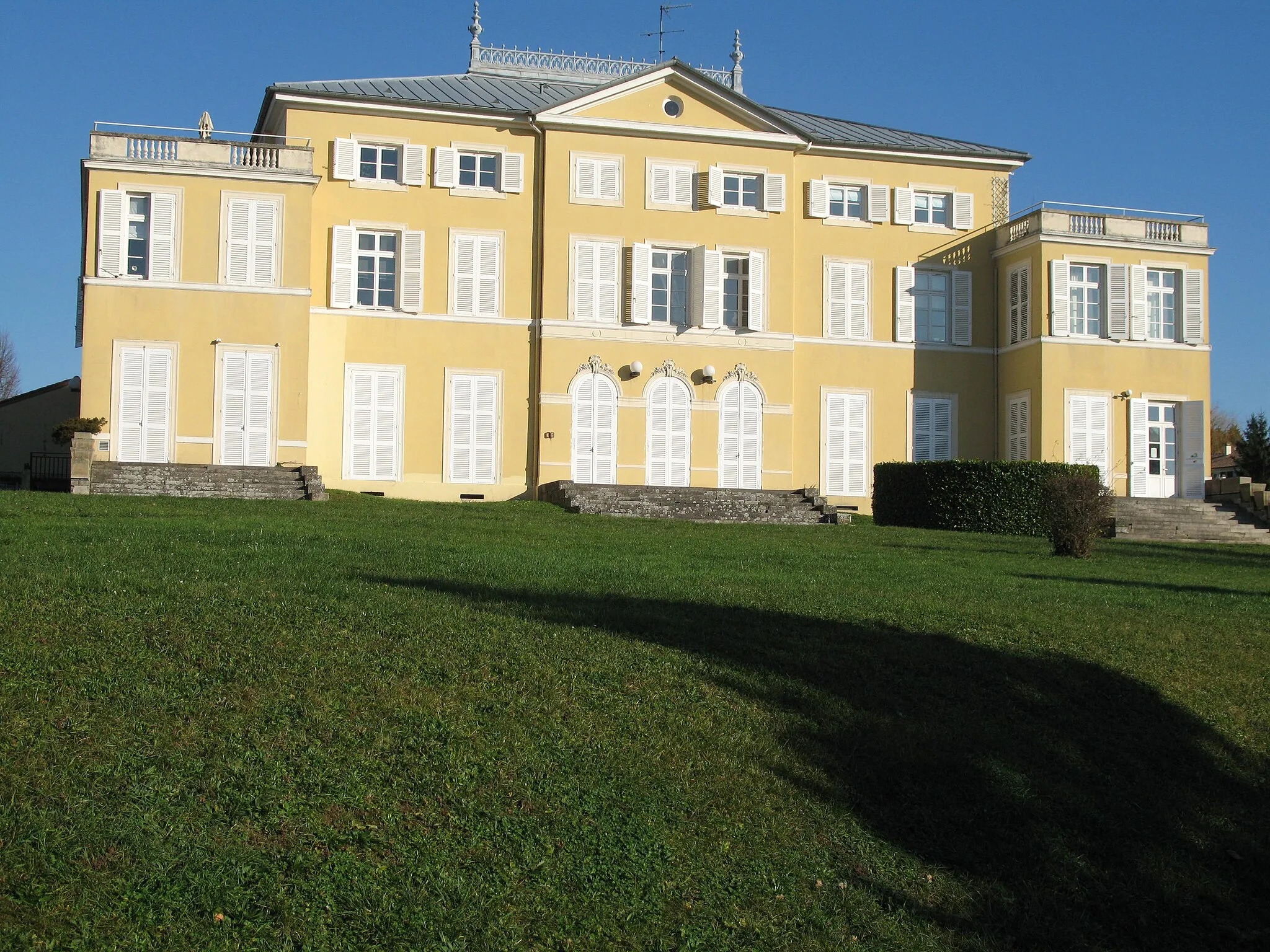
Dardilly is a locality situated in the Rhône-Alpes region of France. As a cyclist, you'll enjoy challenging climbs in the surrounding area, making it a popular spot for road cycling enthusiasts. The region features a variety of climbs, including the famous Monts du Lyonnais, which offer stunning views and a rewarding cycling experience. The roads in Dardilly are well-maintained, and there are plenty of options for both road cycling and gravel riding. With its mix of challenging climbs and scenic routes, Dardilly is a must-visit destination for cyclists looking for a thrilling adventure.
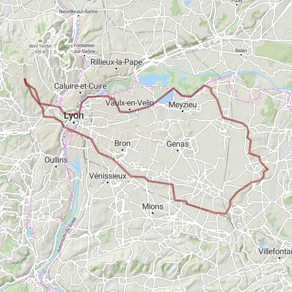
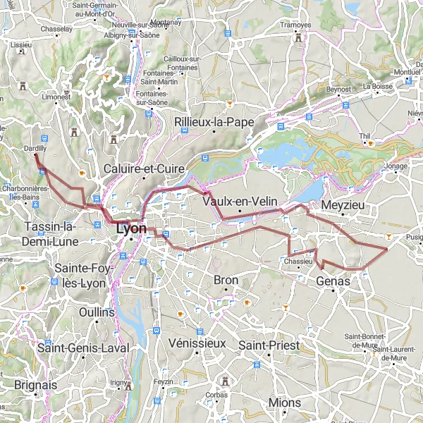
Embark on a gravel cycling adventure exploring Dardilly and heading towards Saint-Priest
Discover the beauty of Dardilly and venture towards Saint-Priest on this 90-kilometer gravel cycling route. With an ascent of 676 meters, this route offers a moderate challenge suitable for experienced gravel riders. Begin your journey from Place Bellevue with its stunning views, pass through Université Lyon 1, and reach La Jetée along the Rhône River. Explore Pusignan, a small town known for its tranquil atmosphere, before continuing to Saint-Priest. Conclude your adventure in Dardilly, where you can relish in its peaceful ambiance and charming surroundings.
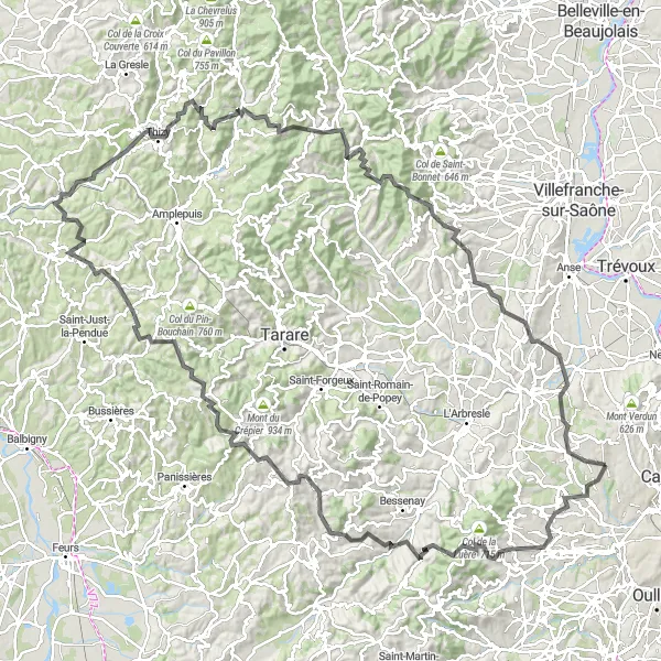
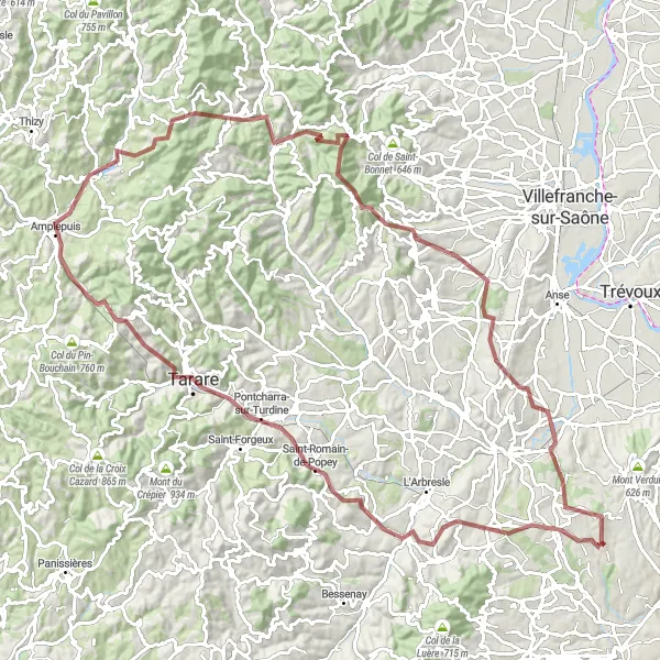
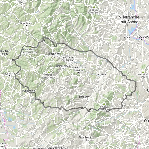
Embark on a thrilling road cycling adventure with challenging climbs near Dardilly
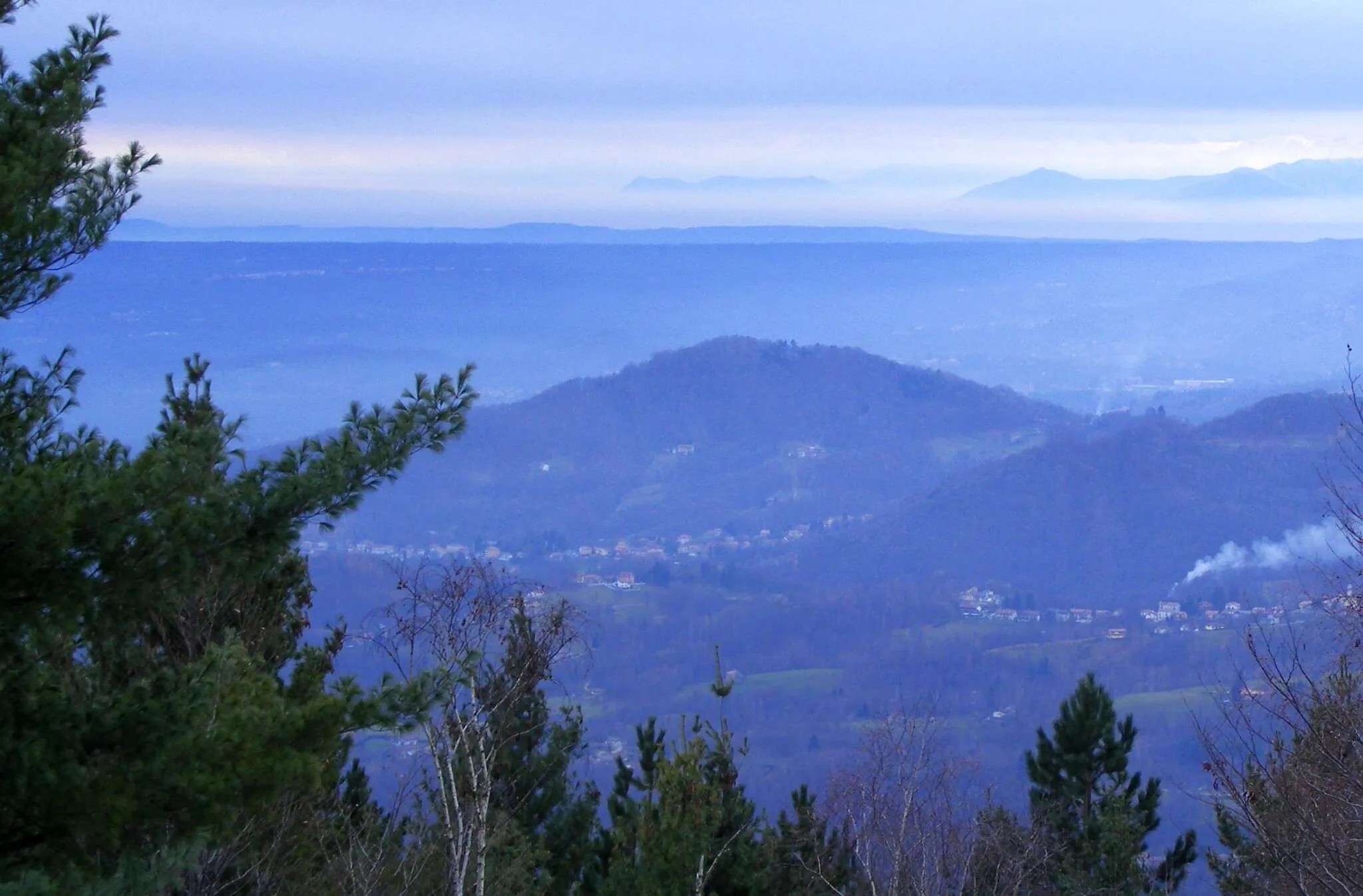
This 159-kilometer road cycling route showcases the breathtaking beauty of the region surrounding Dardilly. With a total ascent of 3196 meters, this route is suitable for experienced cyclists seeking an exciting challenge. Traverse through picturesque towns and enjoy panoramic views from Col de la Croix Cazard. Discover the charming village of Bourg-de-Thizy and marvel at its historic architecture. Take a break in Meaux-la-Montagne, a serene mountain village. This route is highly recommended for cycling enthusiasts looking for an epic and rewarding experience.
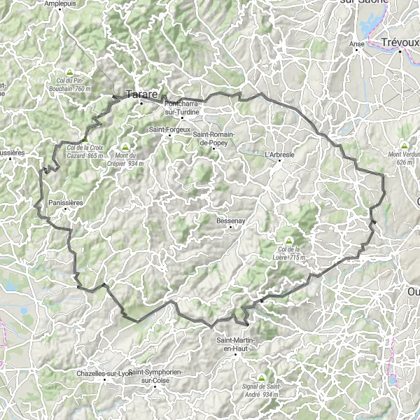
Discover the scenic beauty of Dardilly's surroundings on this road cycling route
Experience the beauty of the surroundings on this 124-kilometer road cycling route near Dardilly. With an ascent of 2062 meters, this route offers a moderate level of difficulty suitable for experienced cyclists. Pass through Craponne, known for its picturesque scenery, before reaching the charming village of Duerne with its authentic rural atmosphere. Enjoy the peaceful ambiance of Le Crêt des Fées, a stunning natural spot. Continue your journey to Haute-Rivoire and be captivated by its scenic beauty. Conclude your ride in Tarare, a town known for its historic architecture and charming streets.
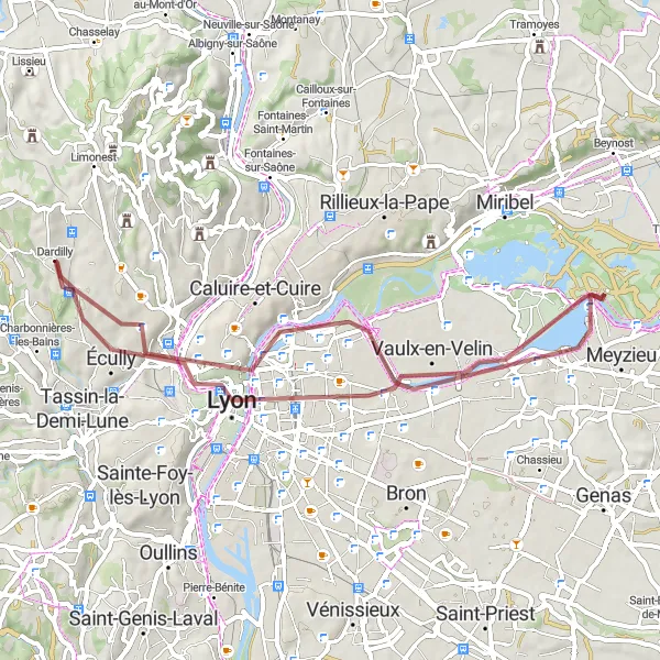
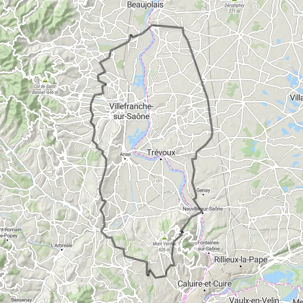
Gravel Route around Dardilly
A challenging gravel route showcasing the diversity of Dardilly's surroundings
Embark on a 62-kilometer gravel cycling adventure around Dardilly, featuring scenic landscapes and cultural highlights. With an ascent of 523 meters, this route offers a moderate level of difficulty suitable for well-trained amateur cyclists. Explore the charming town of Écully and its historic architecture. Admire the panoramic views of Lyon from Place Bellevue. Enjoy the tranquility of La Jetée, a picturesque riverside spot. Conclude your journey in Dardilly, where you can marvel at its architectural gems and relax after a fulfilling ride.
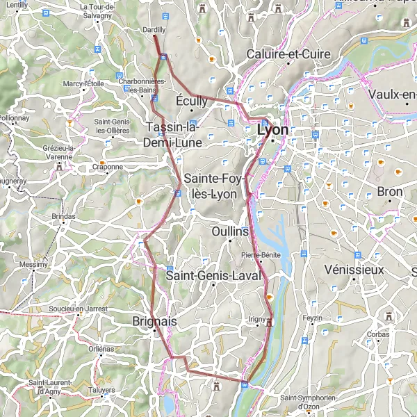
Explore the vibrant city of Lyon while riding on gravel roads
This 50-kilometer gravel cycling route takes you from Dardilly to Lyon, offering an exciting adventure through picturesque landscapes and urban areas. With a total ascent of 467 meters, this route provides a versatile terrain perfect for gravel bike enthusiasts. Discover the historic Esplanade and immerse yourself in Lyon's rich cultural heritage. This route is of moderate difficulty, suitable for experienced amateur cyclists.
Conquering the mountainous landscapes of Rhône-Alpes on a challenging gravel route
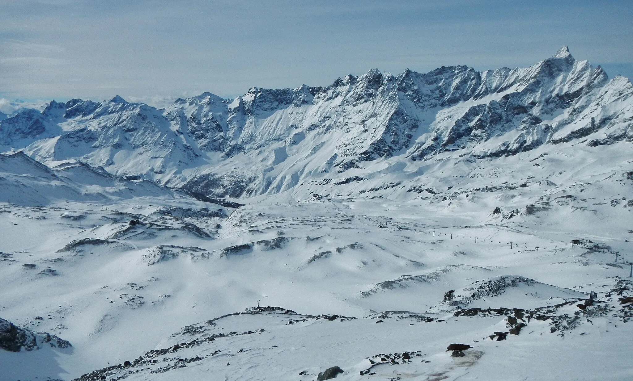
Embark on a thrilling gravel adventure through the mountainous landscapes of Rhône-Alpes. This challenging route spans 111 kilometers, with an elevation gain of 2,448 meters, offering breathtaking views and a true test of endurance.
Exploring Lyon and its outskirts on a thrilling gravel cycling tour
Embark on a gravel adventure exploring the vibrant city of Lyon and the diverse landscapes around it. With a total distance of 49 kilometers and an ascent of 562 meters, this route offers a mix of urban exploration and off-road excitement.
Conquering the challenging mountain routes around Marcy-l'Étoile
Embark on a road cycling challenge through the challenging mountain routes near Marcy-l'Étoile. With a total distance of 125 kilometers and an elevation gain of 2,135 meters, this route offers a true test of strength and endurance.
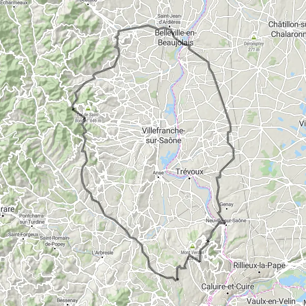
A scenic road cycling adventure through the enchanting Golden Stone villages
Embark on a road cycling adventure through the picturesque Golden Stone villages near Dardilly. With a total distance of 91 kilometers and an ascent of 1,195 meters, this route offers a blend of natural beauty and cultural heritage.
Cycling through the scenic vineyards and charming villages near Dardilly
Explore the picturesque vineyards and quaint villages near Dardilly on this road cycling route. With a total distance of 111 kilometers and an elevation gain of 1,609 meters, this tour offers a challenging yet rewarding experience for amateur cyclists.
Cycling routes nearby:


Nearby regions: