Challenging and Scenic Cycling Routes in Rhône-Alpes
Cycling routes from Saint-Genis-les-Ollieres
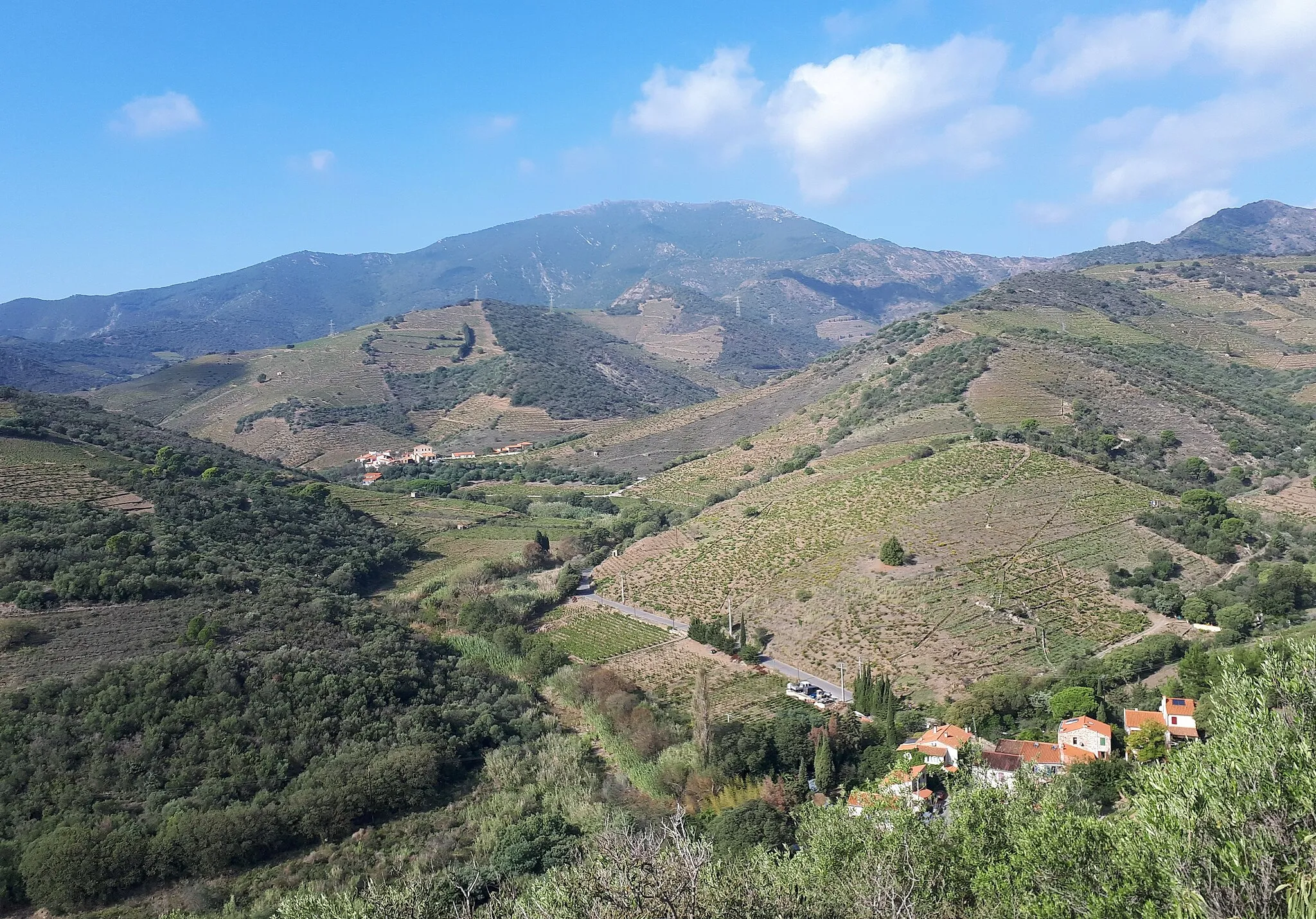
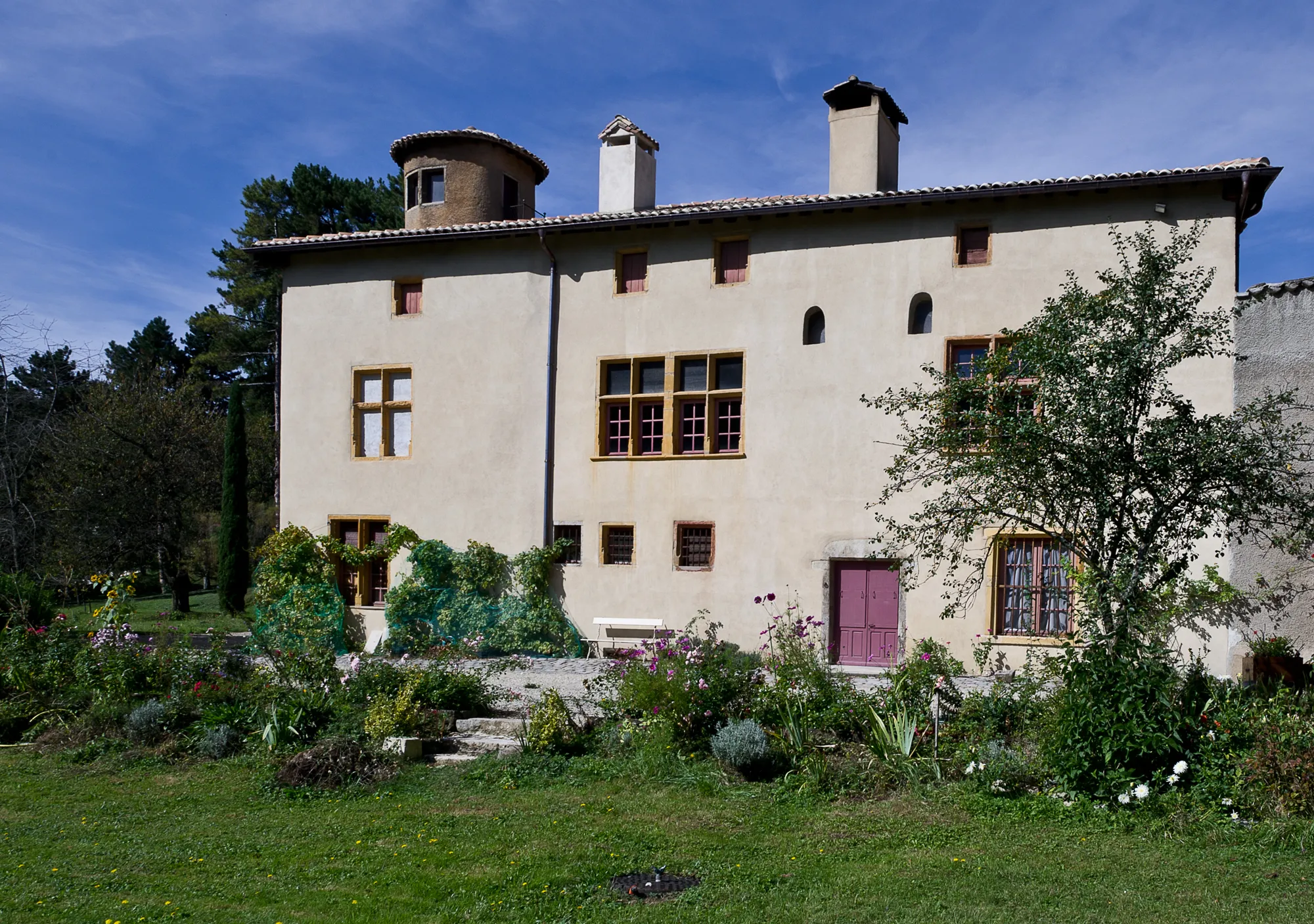
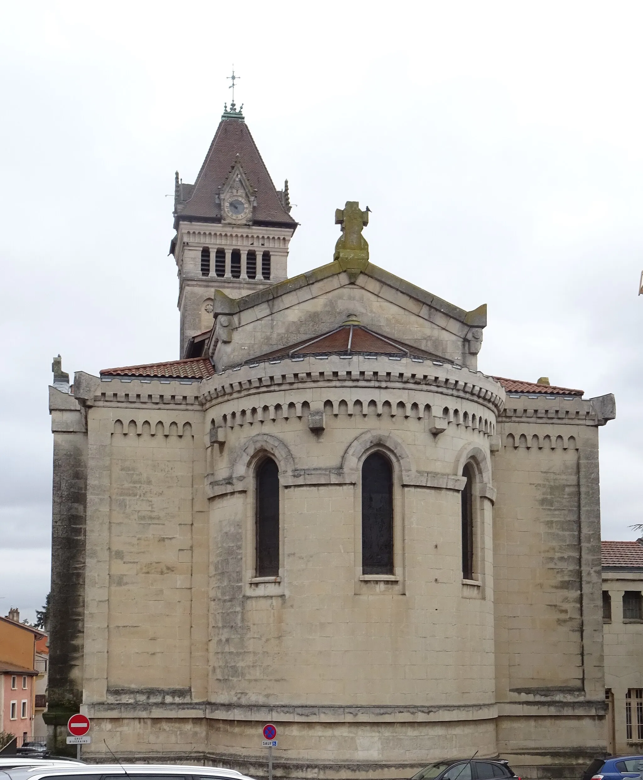
Saint-Genis-les-Ollières is a town located in the Rhône-Alpes region of France. From a road and gravel cyclist's point of view, Saint-Genis-les-Ollières provides a mix of challenging and picturesque cycling routes. The rolling hills and beautiful scenery make it a popular spot for cyclists. One well-known cycling spot nearby is the Col de la Luère, offering a demanding climb and rewarding views. Overall, Saint-Genis-les-Ollières cater to both avid cyclists seeking a challenge and those looking for scenic rides.
Embark on an epic road cycling journey, conquering challenging ascents and exploring breathtaking landscapes.
This 80km road route is not for the faint-hearted. With an ascent of 1484m, this challenging adventure is suitable for experienced cyclists looking to push their limits. Travel through stunning countryside, quaint villages, and picturesque meandering roads. Discover famous landmarks and legendary climbs along the way.
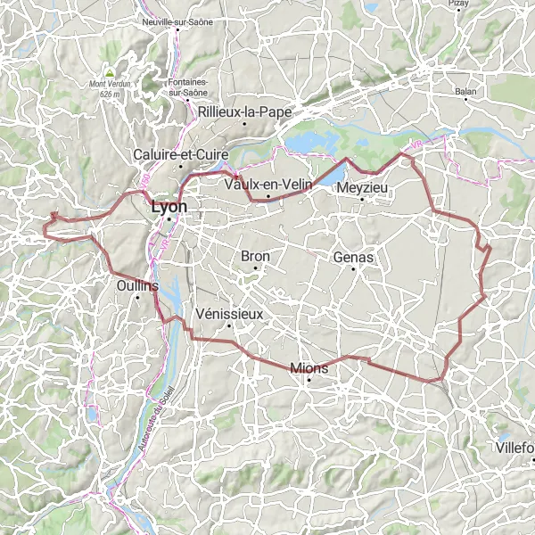
A scenic gravel route through nature reserves
This picturesque gravel cycling route allows you to explore beautiful nature reserves near Saint-Genis-les-Ollières. The route is 93 km long with a total ascent of 494m. It is suitable for gravel bikes and offers a mix of off-road and paved sections. Highlights of the route include Esplanade, Vaulx-en-Velin, La Jetée, Colombier-Saugnieu, Corbas, Oullins, and Craponne. Overall, this route is of moderate difficulty and allows cyclists to immerse themselves in the natural beauty of the region.

Experience a challenging road adventure through picturesque landscapes and challenging ascents.
Embark on this 78km road journey that will test your endurance with a remarkable ascent of 1340m. As you conquer the challenging ascents, feast your eyes on the stunning views that await you at each peak. This route is suited to experienced cyclists seeking a more demanding and exhilarating adventure.
Lyon Hillclimb Challenge

Conquer the challenging Lyon hillclimbs
Embark on the Lyon Hillclimb Challenge and test your climbing skills on this demanding route. With a total ascent of 1866 meters over 109 kilometers, this is a perfect test for skilled cyclists. The scenic highlights include Crapone, Le Crêt des Fées, and Mont Girard.
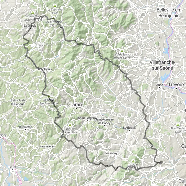
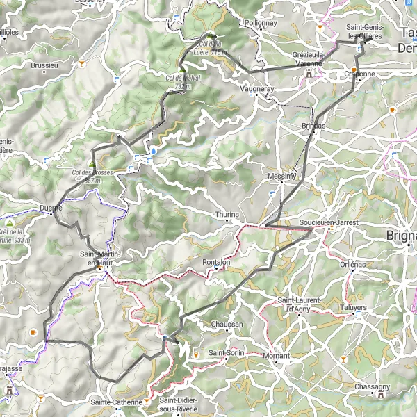
Conquer the legendary climbs of Monts du Lyonnais
Embark on a challenging journey through the Monts du Lyonnais region, cycling a total distance of 165 kilometers with an impressive ascent of 3446 meters. This route is a must for experienced climbers seeking a true test of their abilities. Highlights along the way include encounters with Marmottes, the stunning Courzieu, and the picturesque town of Montrottier.
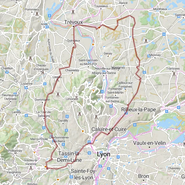
A scenic gravel route through picturesque villages
This 74 km gravel cycling route takes you through picturesque villages and scenic landscapes near Saint-Genis-les-Ollières. The route has a total ascent of 629m, making it moderately challenging. Highlights along the way include Lissieu, Trévoux, Panorama de la Terrasse, Saint-Jean-de-Thurigneux, Sathonay-Village, Caluire-et-Cuire, and Le Belvédère et les lanternes de l'île Barbe. Overall, this route offers a delightful mix of natural beauty and cultural attractions, making it a perfect choice for a scenic and enjoyable gravel ride.
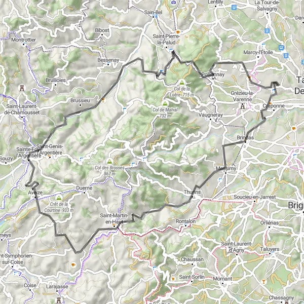
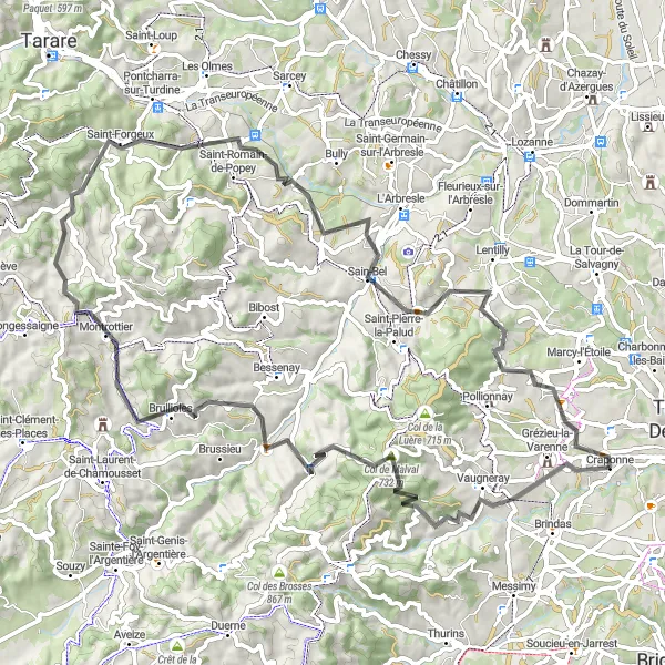
A challenging road route with epic climbs
This road cycling route offers a challenging ride through hilly terrain and epic climbs. The route is 75 km long with a total ascent of 1419m. It is suitable for experienced road cyclists looking for a challenging workout. Highlights of the route include Craponne, Thurins, Point de vue Rochefort, Aveize, Brussieu, Saint-Pierre-la-Palud, and Col de la Croix du Ban. Overall, this route is quite difficult and offers a thrilling and rewarding cycling experience for seasoned riders.
Experience the scenic rural charm of the Lyon countryside
Embark on a delightful cycling tour exploring the scenic rural charm of the Lyon countryside. This 72-kilometer route with an ascent of 1362 meters offers a challenging yet enjoyable experience for cyclists of all levels. Highlights along the way include Crapone, Saint-André-la-Côte, and the stunning views from Grand Mont.

Discover the beauty of Rhône-Alpes as you ride through charming towns and scenic landscapes.
Embark on a 48km gravel adventure that showcases the natural wonders and cultural heritage of the Rhône-Alpes region. With an ascent of 419m, this route provides a moderate challenge for cyclists with varying levels of experience. Immerse yourself in the relaxed atmosphere of quaint villages and enjoy the vibrant energy of Lyon.
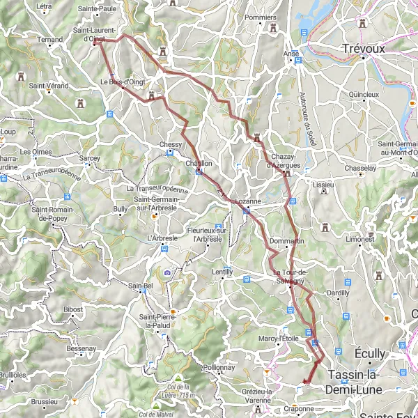
A picturesque gravel route through charming villages
This gravel cycling route takes you through beautiful scenery and charming villages. The route is 64 km long with a total ascent of 1035m. It is suitable for gravel bikes and offers a mix of off-road and paved sections. You'll ride through Civrieux-d'Azergues, Oingt, Chautard, and enjoy stunning views of Le Bois d'Oingt and the Val d'Oingt. Overall, this route is moderately challenging and offers a unique and enjoyable cycling experience.
Cycling routes nearby:


Nearby regions: