Lyon Hillclimb Challenge
A road cycling route starting from Saint-Genis-les-Ollieres
Conquer the challenging Lyon hillclimbs
Map

Embark on the Lyon Hillclimb Challenge and test your climbing skills on this demanding route. With a total ascent of 1866 meters over 109 kilometers, this is a perfect test for skilled cyclists. The scenic highlights include Crapone, Le Crêt des Fées, and Mont Girard.
road
109 km
1866 m
Tough
Route profile
Highlights on the route
0 km
0 km
Start: Saint-Genis-les-Ollières Village centerSaint-Genis-les-Ollières: Challenging and Scenic Cycling Routes in Rhône-Alpes
Saint-Genis-les-Ollières is a town located in the Rhône-Alpes region of France. From a road and gravel cyclist's point of view, Saint-Genis-les-Ollières provides a mix of challenging and picturesque cycling routes. The rolling hills and beautiful scenery make it a popular spot for cyclists. One well-known cycling spot nearby is the Col de la Luère, offering a demanding climb and rewarding views. Overall, Saint-Genis-les-Ollières cater to both avid cyclists seeking a challenge and those looking for scenic rides.2 km
2 km
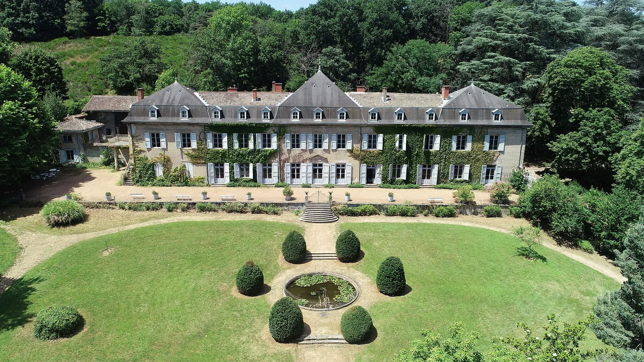
CraponneVillageDiscover the charming town of Crapone on your cycling journey.
15 km
15 km
Crêt de la Madonne864 mPeakAdmire the panoramic views from the summit of Crêt de la Madonne.
26 km
26 km
Le Crêt des Fées876 mPeakExplore the enchanting forested area surrounding Le Crêt des Fées.
39 km
39 km
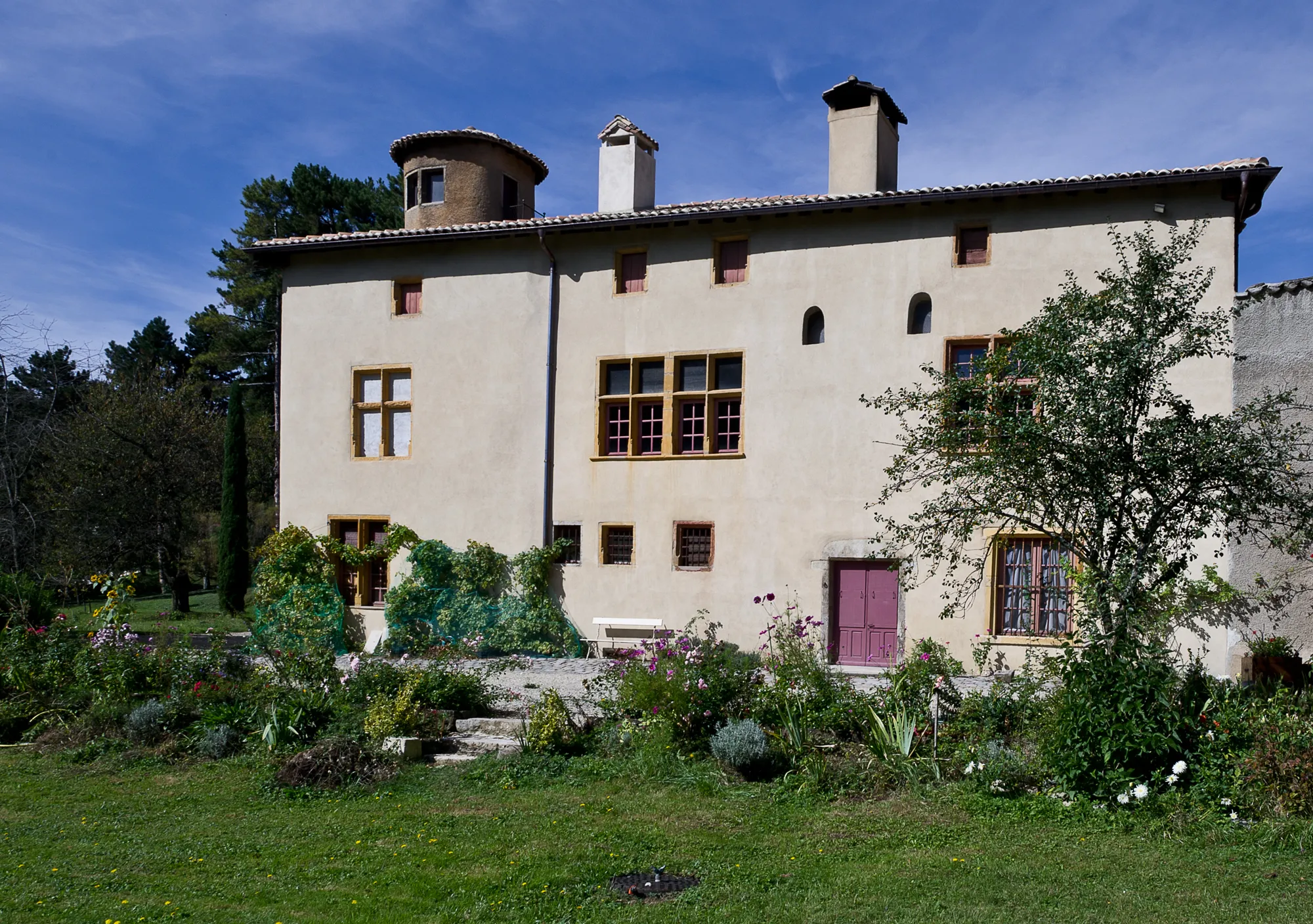
Haute-RivoireVillageVisit the picturesque village of Haute-Rivoire nestled in the hills.
53 km
53 km
Essertines-en-DonzyVillageEnjoy the peaceful countryside in Essertines-en-Donzy.
64 km
64 km
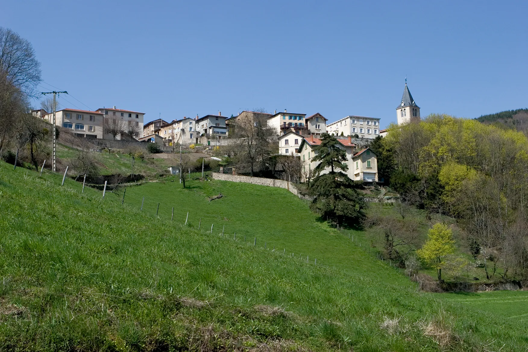
VillechenèveVillagePass through the charming village of Villechenève with its historic buildings.
68 km
68 km
Mont Girard774 mPeakTake in the breathtaking views from the top of Mont Girard.
77 km
77 km
Crêt Pélerat852 mPeakExperience the tranquility of Crêt Pélerat amidst nature reserves.
92 km
92 km
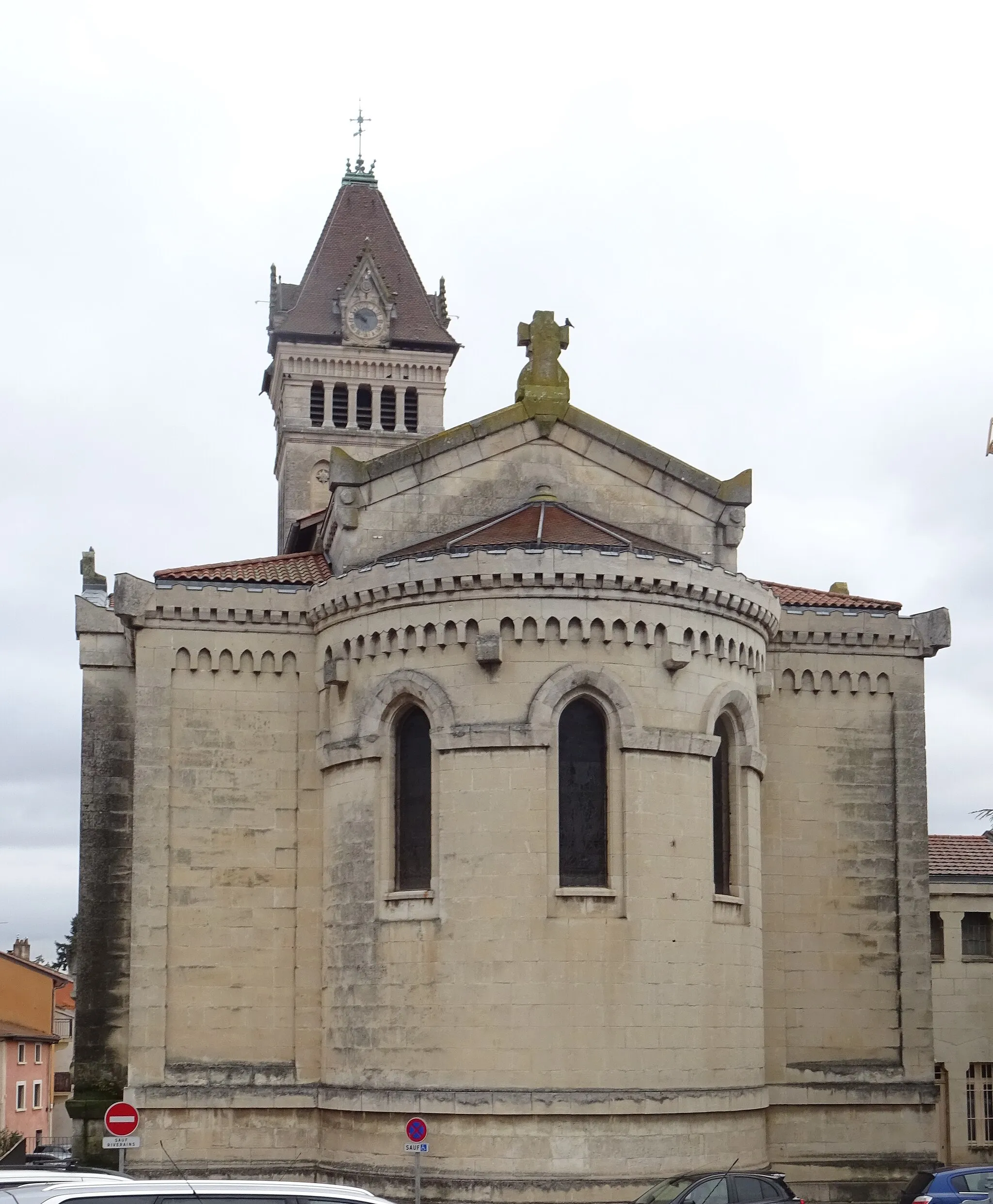
Sain-BelVillageDiscover the historic town of Sain-Bel with its charming architecture.
104 km
104 km
Marcy-l'ÉtoileVillageExplore Marcy-l'Étoile, a quaint village on the outskirts of Lyon.
109 km
109 km
Finish: Saint-Genis-les-Ollières Village centerSaint-Genis-les-Ollières: Challenging and Scenic Cycling Routes in Rhône-Alpes
Cycling routes from Saint-Genis-les-Ollieres:
Challenging Road Adventure from Saint-Genis-les-Ollières Monts du Lyonnias Challenge Gravel Exploration from Saint-Genis-les-Ollières to Lyon Discover the Lyon Countryside Nature and Heritage Tour Gravel Exploration from Saint-Genis-les-Ollières to Lyon Epic Road Cycling Journey through Rhône-Alpes Lyon Hillclimb Challenge Rural Charm Cycling Tour Gravel Adventure through Saint-Genis-les-Ollières Gravel Loop from Saint-Genis-les-Ollières Climbing Challenge from Saint-Genis-les-Ollières Scenic Gravel Ride near Saint-Genis-les-Ollières Exploring Nature near Saint-Genis-les-Ollières
Cycling routes nearby: