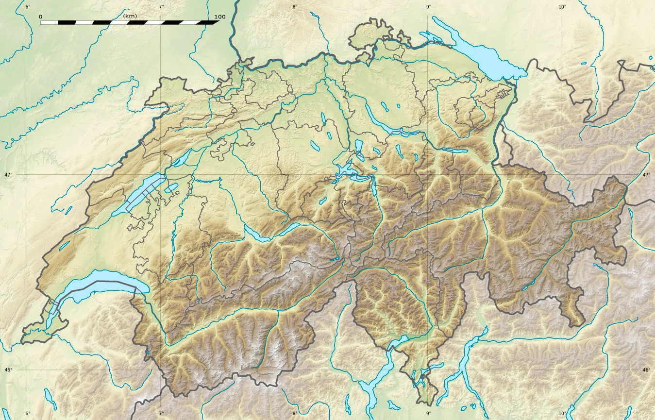
Cycling paradise in the Rhône-Alpes region.
Cycling routes from Craponne
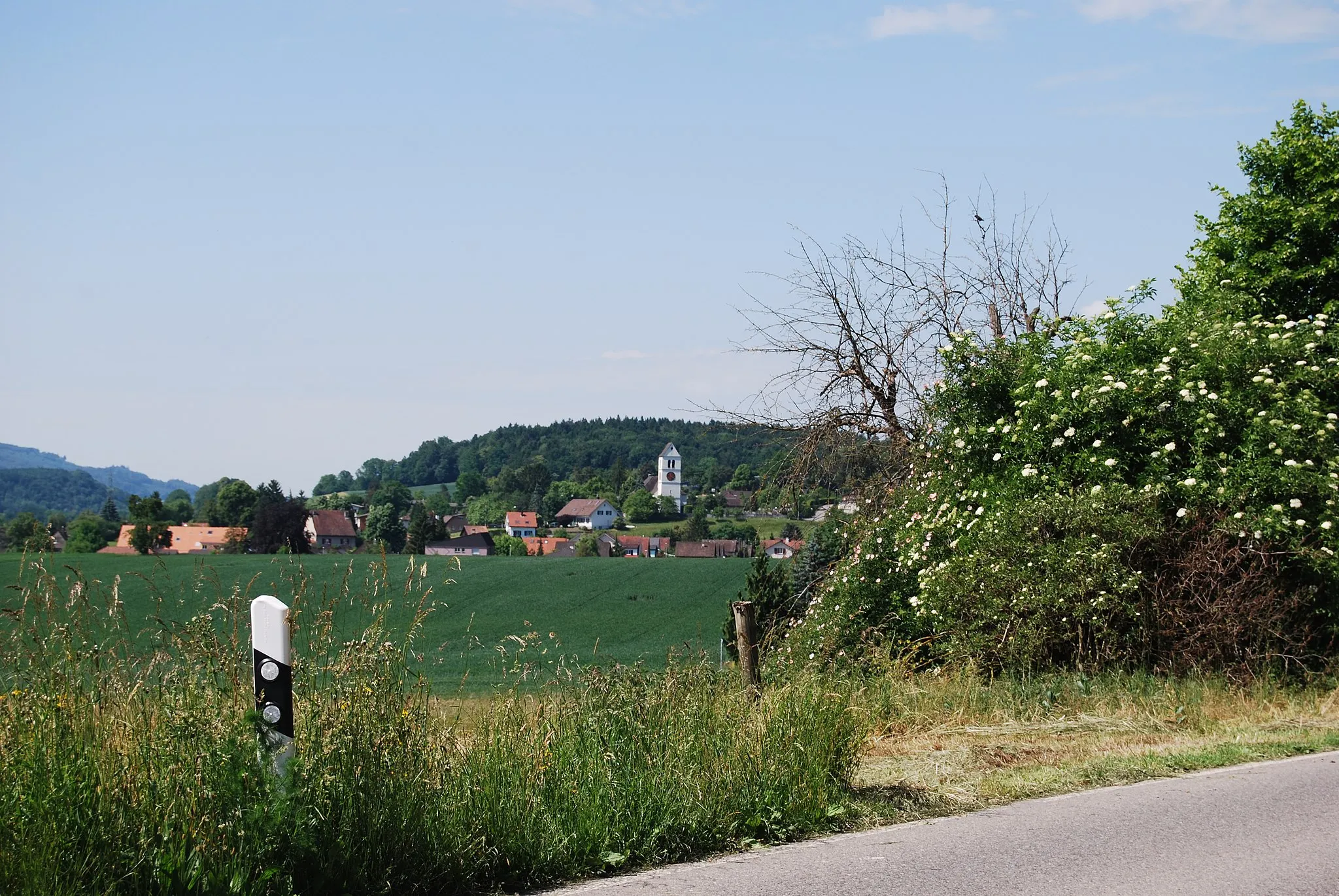
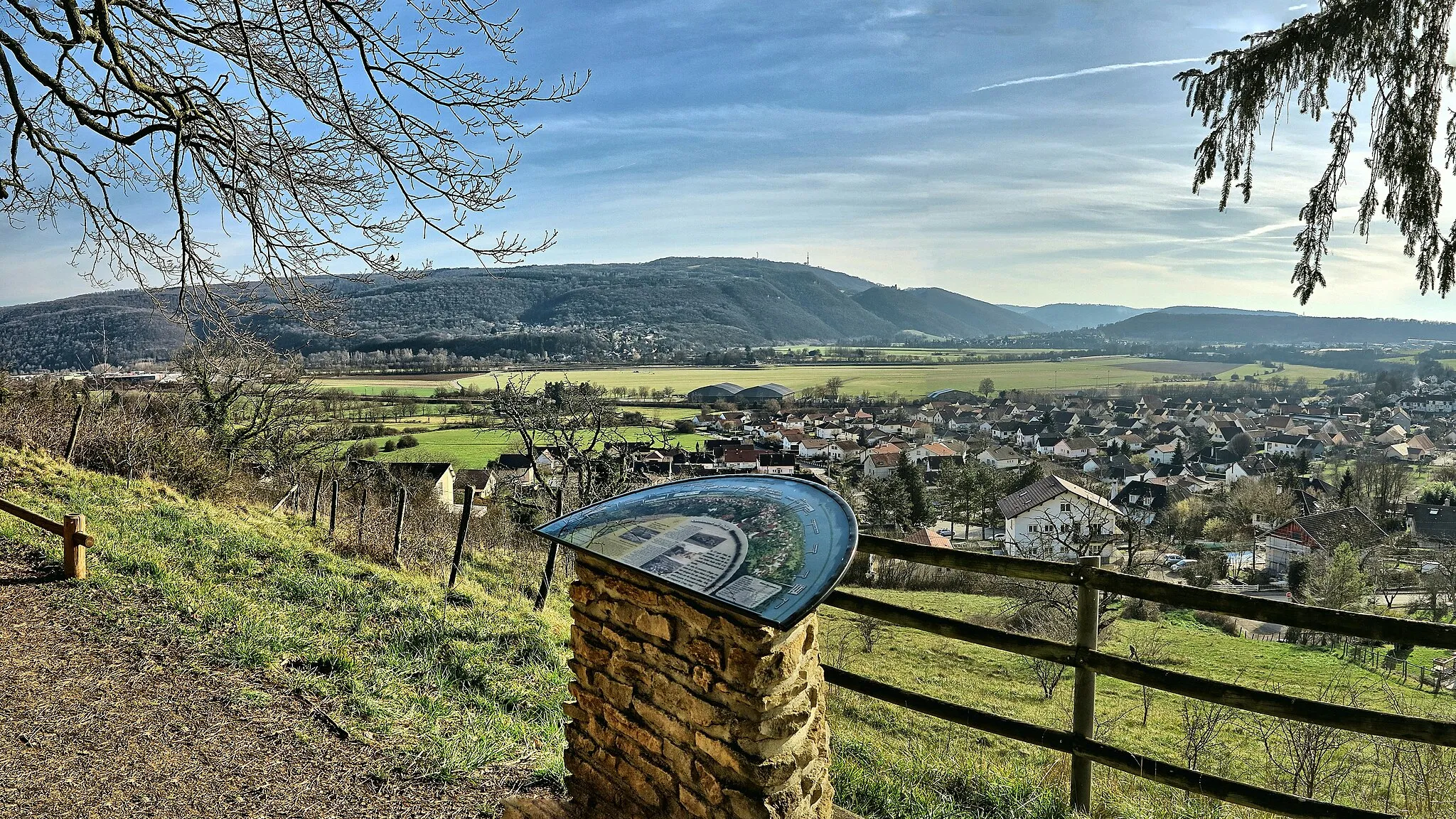
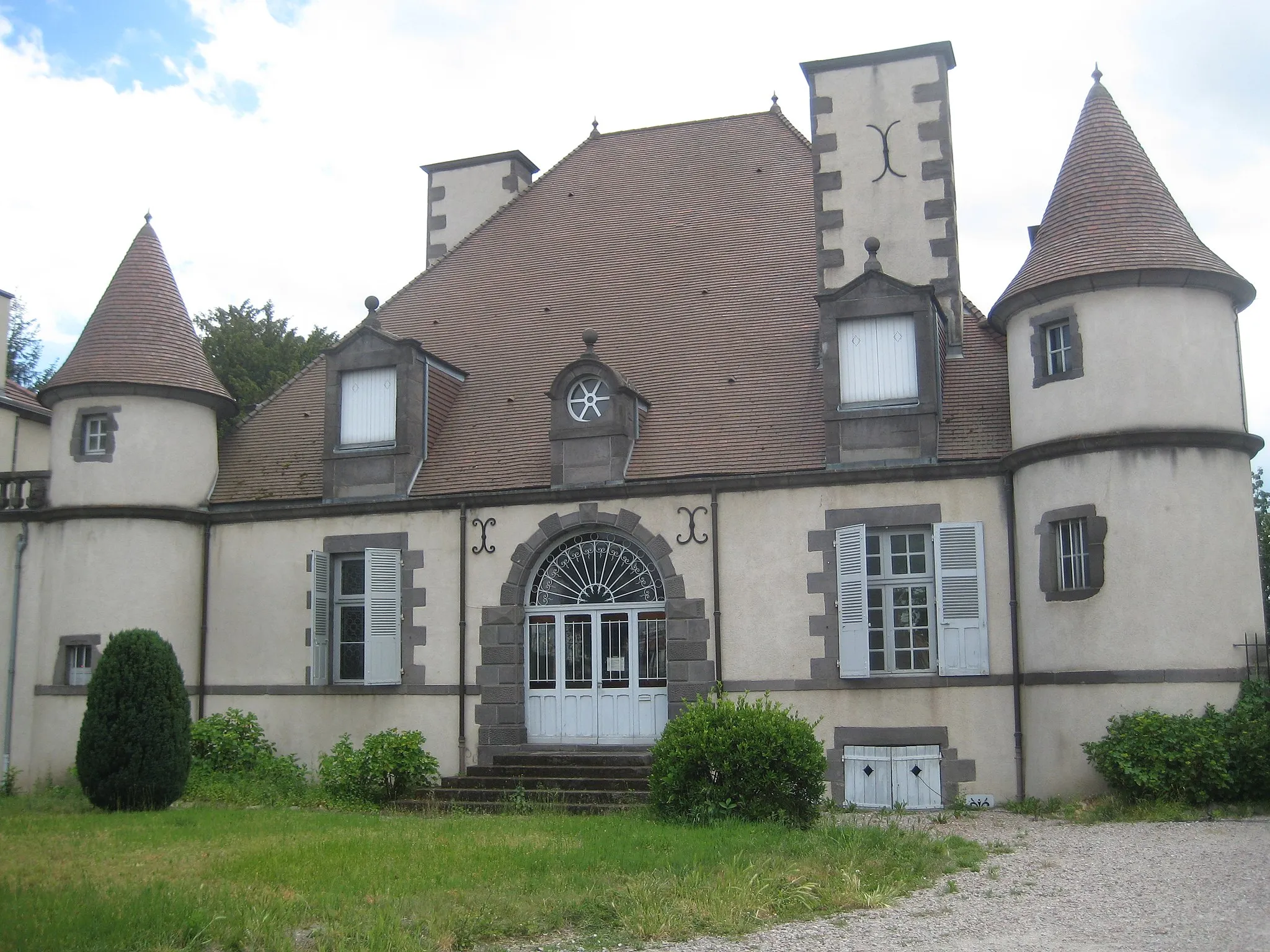
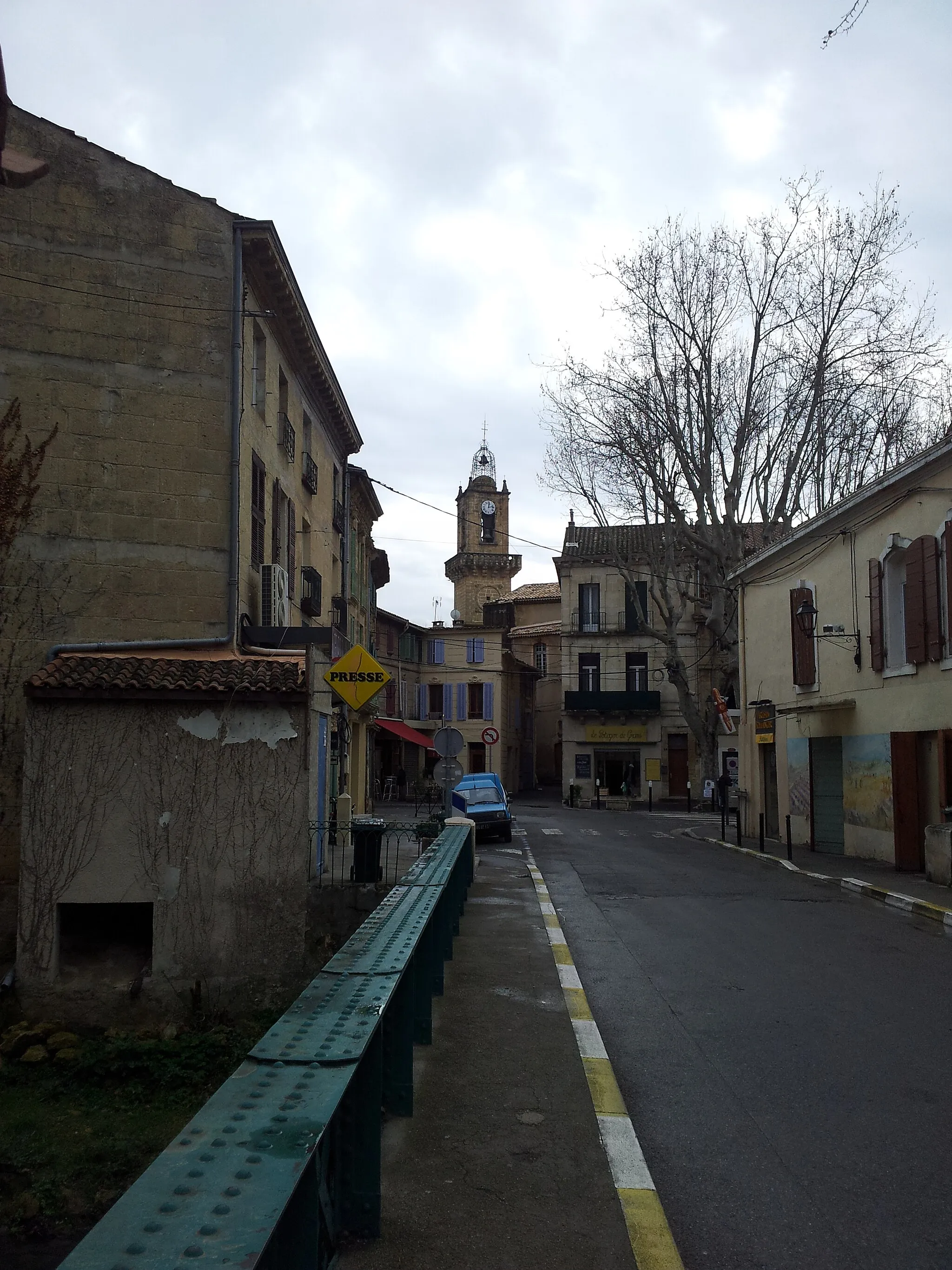
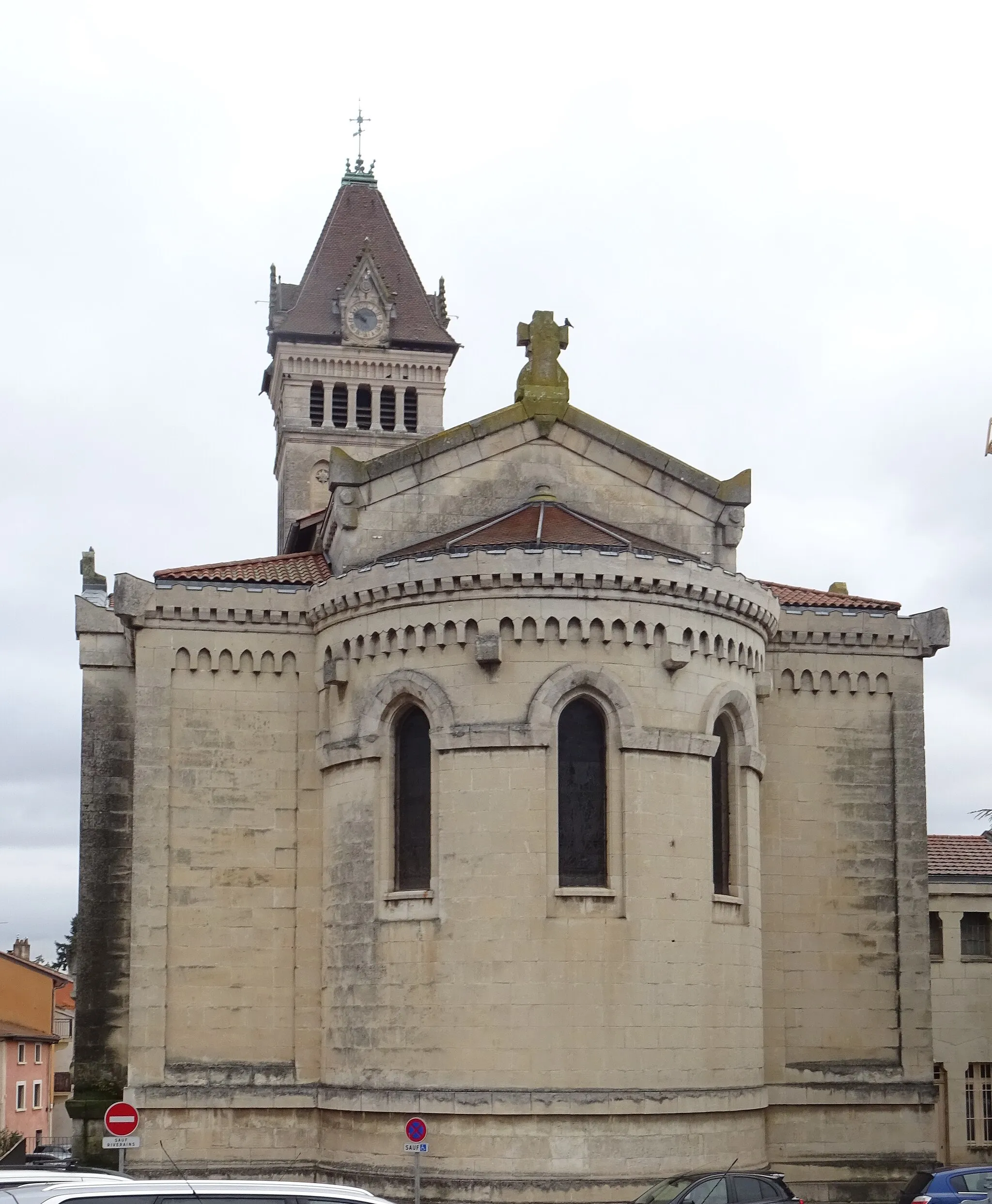
Craponne is a locality in Rhône-Alpes, France. From a cyclist's perspective, Craponne offers a mix of both challenging climbs and scenic routes. The area is known for its hilly terrain, which makes it suitable for road cyclists seeking a good workout. The Col De Crévier is a well-known climb nearby that attracts cyclists from all over. With its beautiful countryside and tranquil atmosphere, Craponne is an ideal destination for both road and gravel cyclists looking to explore the Rhône-Alpes region.
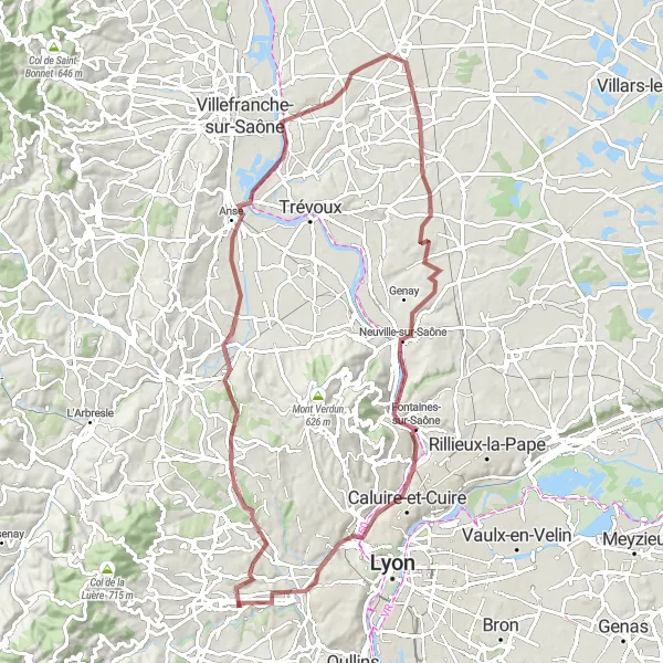
Craponne Gravel Adventure

Cycling among picturesque towns and breathtaking views
This round-trip gravel route starting near Craponne takes you through charming towns like Charnay, Villefranche-sur-Saône, and Trévoux. With a total distance of 79 kilometers and an ascent of 1043 meters, this route offers a mix of challenging terrain and scenic landscapes. The difficulty level is rated 3 out of 5, suitable for well-trained amateurs. The epicness rating is 3 out of 5, providing an enjoyable cycling experience with some notable highlights along the way. Highlights include Craponne, a quaint town with historic architecture, Mont Verdun, offering stunning panoramic views, and Tassin-la-Demi-Lune, known for its beautiful parks and gardens.
Embark on a scenic journey through the picturesque countryside surrounding Craponne.
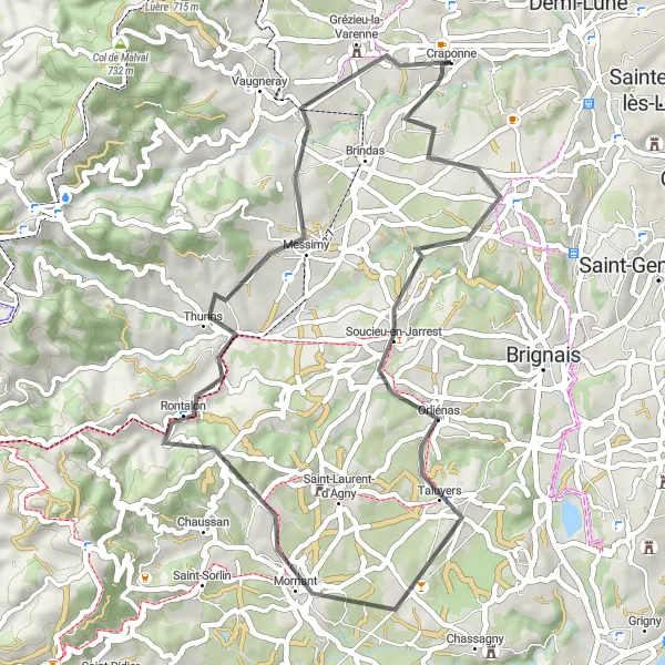
This short road cycling loop starts in Chaponost and takes you through Mornant, Rontalon, Messimy, and Grézieu-la-Varenne. Covering a distance of 48 km with an ascent of 717 m, this route is perfect for a quick workout or a leisurely ride. The road conditions are good, and you'll be surrounded by stunning natural beauty throughout your journey. Take your time to explore the charming villages and enjoy the peaceful atmosphere of the countryside.
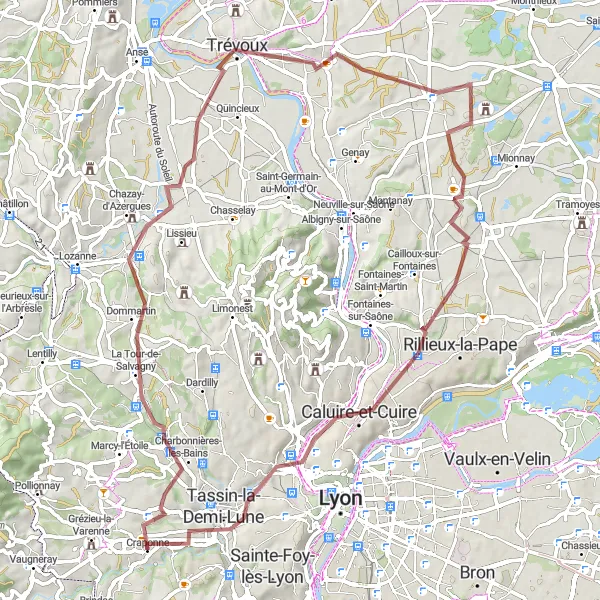
Embark on a thrilling gravel adventure near Craponne, exploring scenic countryside and historic sites.
This gravel route takes you through the beautiful region surrounding Craponne, showcasing the unique landscapes and cultural heritage of the area. Starting in Chazay-d'Azergues, the route passes through Jassans-Riottier, Château de Juis, Albigny-sur-Saône, Caluire-et-Cuire, Le Belvédère et les lanternes de l'île Barbe, and Tassin-la-Demi-Lune. With a distance of 83 km and an ascent of 639 m, this route offers a good mix of challenge and adventure. The gravel trails provide a different cycling experience, adding an element of excitement and exploration to your ride.

Conquer the mountains near Craponne on this challenging road cycling route.
This challenging road cycling route takes you on an epic mountain adventure near Craponne, daring you to conquer the steep ascents and thrilling descents. Starting in Messimy, the route leads you to Crêt du Bouchat, Table d'orientation, Riverie, Crêt Malherbe, Grammond, Chazelles-sur-Lyon, Sainte-Foy-l'Argentière, Chevinay, Col de la Croix du Ban, and Craponne. With a distance of 100 km and an ascent of 1864 m, this route is not for the faint-hearted. The scenic mountain roads provide breathtaking views and a true test of endurance. Prepare for an unforgettable cycling experience among the majestic peaks and pristine nature.
Rural Gravel Adventure
Experience the tranquility of rural Rhône-Alpes
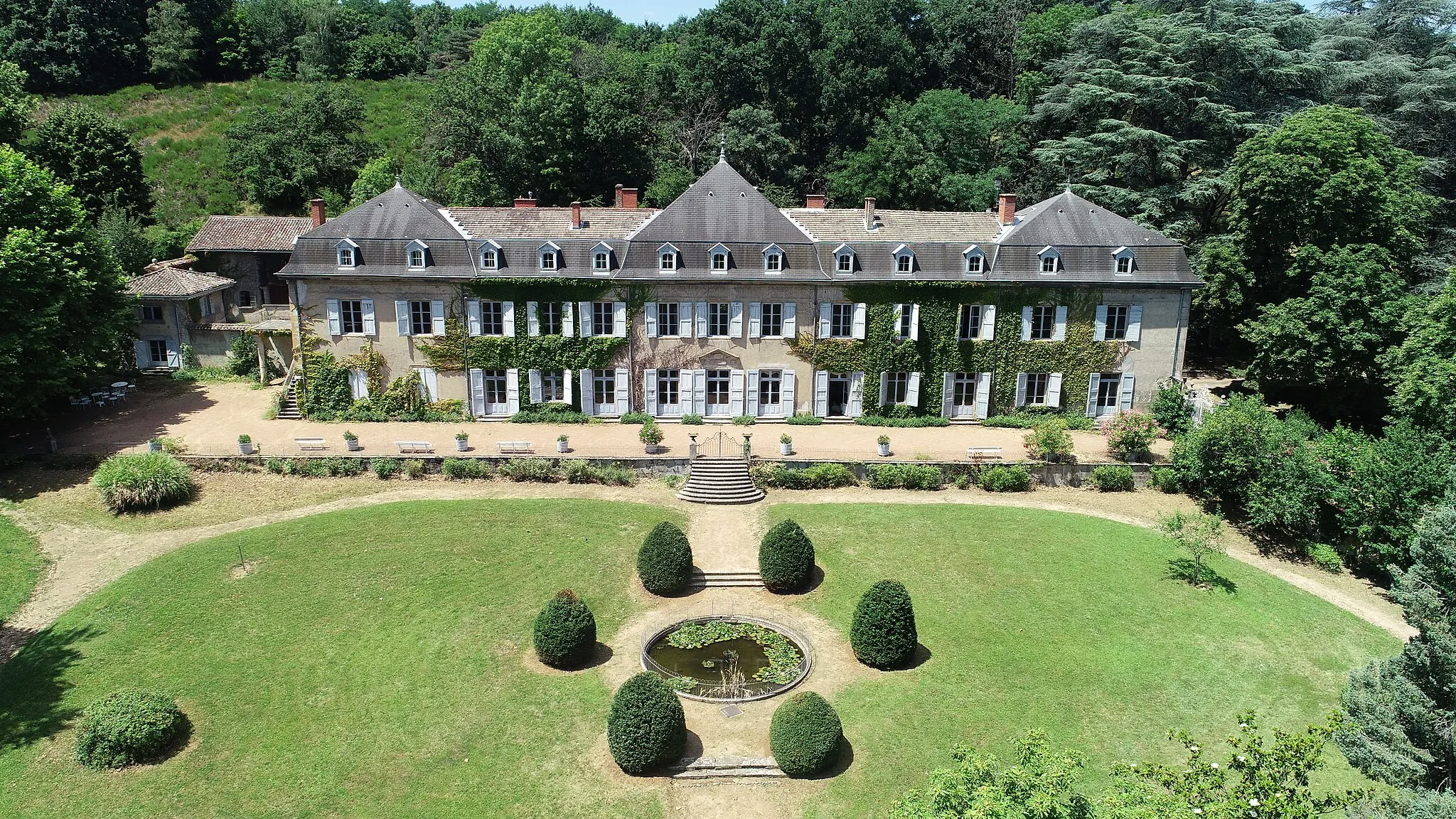
Discover the rural beauty of Rhône-Alpes with this scenic gravel adventure. Starting near Craponne, this round-trip route covers a distance of 72 kilometers and an ascent of 589 meters. The route takes you through charming towns like Saint-Genis-les-Ollières and Reyrieux, offering a blend of picturesque landscapes and cultural attractions. With a difficulty level of 3 out of 5 and an epicness rating of 3 out of 5, this route provides an enjoyable cycling experience for well-trained amateurs. Highlights along the way include the Panorama de la Terrasse, a breathtaking viewpoint with panoramic views, and Château de Montribloud, a historic castle showcasing local architecture and heritage.

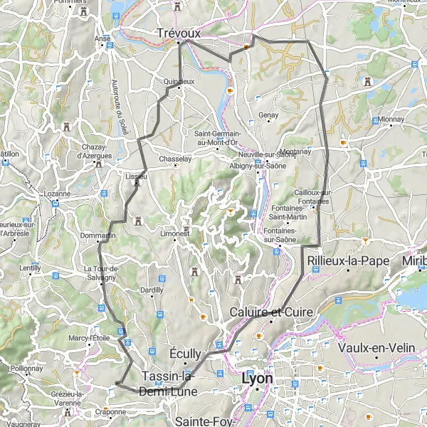
Embrace the beauty and challenges of this scenic road route
This road cycling route near Craponne spans a distance of 77 kilometers with an ascent of 843 meters. Experience the breathtaking beauty of Lentilly, Reyrieux, and Jassans-Riottier as you navigate the challenging terrain of this scenic loop. The difficulty level is rated 4 out of 5, suitable for experienced amateur cyclists in excellent physical condition. With an epicness rating of 4 out of 5, this route promises an exhilarating and memorable ride. Highlights along the route include Notre-Dame-de-Buissante, known for its stunning views of the surrounding countryside, and Le Belvédère et les lanternes de l'île Barbe, a mesmerizing lookout point showcasing the natural and architectural beauty of the region.
Scenic Route through Craponne

Explore the picturesque landscapes around Craponne on this road cycling route.
This route takes you through the beautiful countryside near Craponne, offering stunning views and a challenging ride. It starts in Dardilly and passes through Mont Verdun, Massieux, Birieux, Beynost, the Belvédère de la centrale hydroélectrique de Cusset, La Mulatière, and Chaponost. With a total distance of 110 km and an ascent of 1051 m, this route is ideal for intermediate to advanced cyclists. The road conditions are good, and there are several highlights along the way. Prepare to be amazed by the natural beauty of the region.

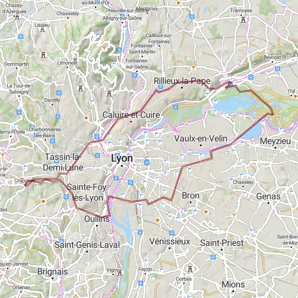
A picturesque road with beautiful landscapes
This route is perfect for cyclists who enjoy scenic views and picturesque landscapes. It starts near Craponne and takes you through the charming towns of Esplanade, La Mulatière, Saint-Fons, Brignais, Chaponost, and finally ends in Craponne. The route is 46 kilometers long and includes an elevation gain of 486 meters. Cyclists can expect a moderate difficulty level on this road, suitable for very well-trained amateurs. The route offers a mix of flat roads and gentle slopes, making it ideal for a leisurely ride. The highlights of this route include the beautiful Esplanade, the charming town of Chaponost, and the final destination of Craponne itself.
An unforgettable cycling journey through Rhône-Alpes
Experience the breathtaking beauty of Rhône-Alpes with this road cycling route starting near Craponne. This 64-kilometer ride features an ascent of 624 meters and takes you through picturesque towns like Saint-Genis-les-Ollières, Lissieu, and Trévoux. The difficulty level is 3 out of 5, suited for well-trained amateur cyclists looking for a moderate challenge. With an epicness rating of 4 out of 5, this route offers unforgettable views and memorable experiences. Highlights include Cailloux-sur-Fontaines, a charming village known for its traditional architecture and local gastronomy, and Belvédère de Bourg, offering panoramic views of the breathtaking Rhône-Alpes countryside.
Countryside Gravel Escape
Exploring the rural beauty near Craponne
Embark on a memorable gravel cycling journey through the picturesque countryside near Craponne. With a distance of 63 kilometers and an ascent of 415 meters, this route offers a moderate challenge suitable for the well-trained amateur cyclist. The route includes highlights such as Belvédère de Bourg, providing stunning views of the landscape, and Miribel, a charming village with tranquil surroundings. With a difficulty level of 2 out of 5 and an epicness rating of 3 out of 5, this ride offers a pleasant and enjoyable experience. Enjoy the peacefulness of the countryside and immerse yourself in the beauty of nature along this scenic route.
Cycling routes nearby:


Nearby regions: