Scenic Road Challenge
A road cycling route starting from Craponne
Embrace the beauty and challenges of this scenic road route
Map

This road cycling route near Craponne spans a distance of 77 kilometers with an ascent of 843 meters. Experience the breathtaking beauty of Lentilly, Reyrieux, and Jassans-Riottier as you navigate the challenging terrain of this scenic loop. The difficulty level is rated 4 out of 5, suitable for experienced amateur cyclists in excellent physical condition. With an epicness rating of 4 out of 5, this route promises an exhilarating and memorable ride. Highlights along the route include Notre-Dame-de-Buissante, known for its stunning views of the surrounding countryside, and Le Belvédère et les lanternes de l'île Barbe, a mesmerizing lookout point showcasing the natural and architectural beauty of the region.
road
77 km
843 m
Tough
Route profile
Highlights on the route
0 km
0 km
Start: Craponne Village centerCraponne: Cycling paradise in the Rhône-Alpes region.
Craponne is a locality in Rhône-Alpes, France. From a cyclist's perspective, Craponne offers a mix of both challenging climbs and scenic routes. The area is known for its hilly terrain, which makes it suitable for road cyclists seeking a good workout. The Col De Crévier is a well-known climb nearby that attracts cyclists from all over. With its beautiful countryside and tranquil atmosphere, Craponne is an ideal destination for both road and gravel cyclists looking to explore the Rhône-Alpes region.0 km
0 km
CraponneVillageCraponne, a historic town with charming architecture and a rich cultural heritage
13 km
13 km
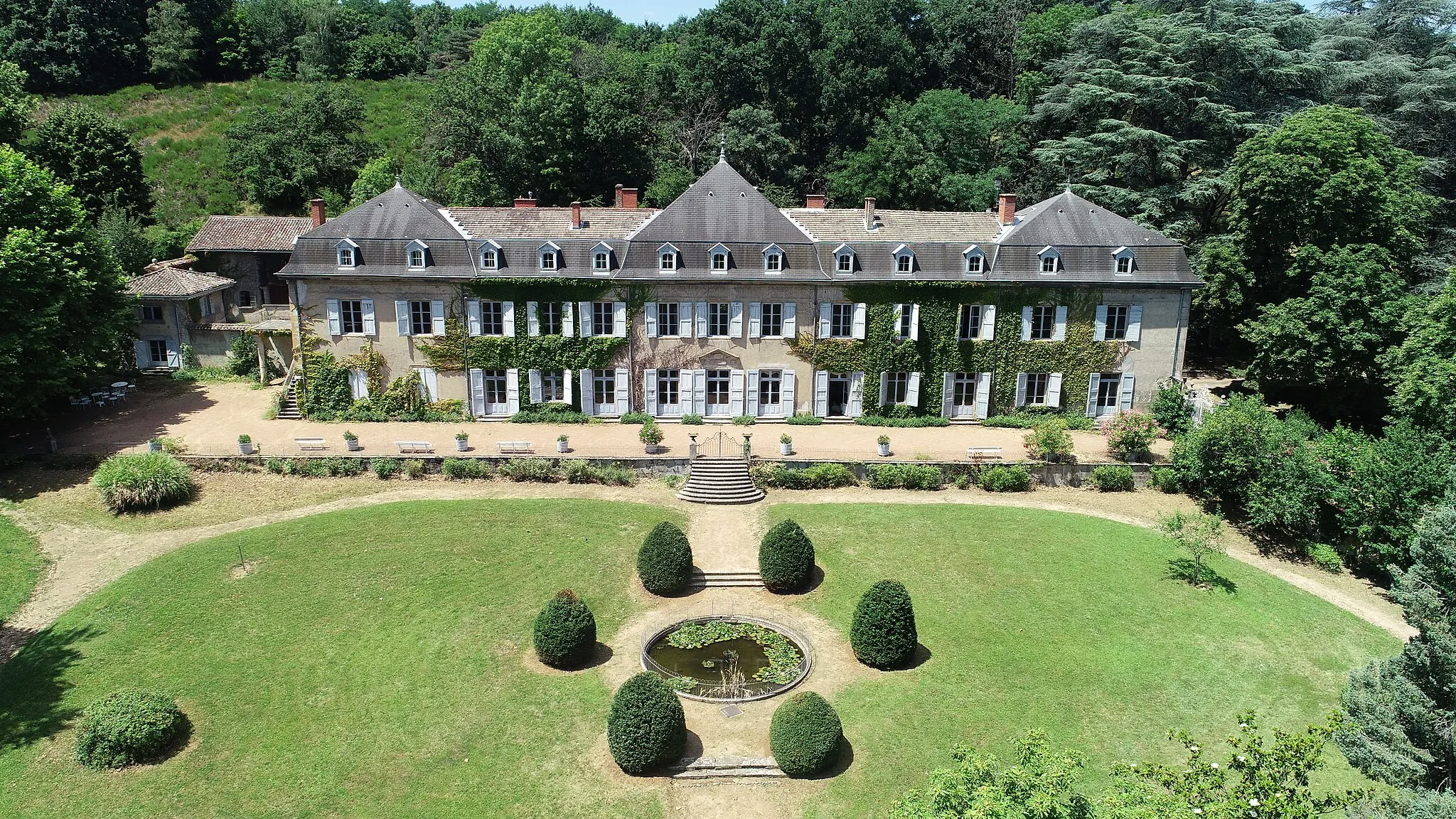
LentillyVillageLentilly, a picturesque town surrounded by lush greenery and rolling hills
31 km
31 km
Notre-Dame-de-Buissante353 mPeakNotre-Dame-de-Buissante, offering breathtaking panoramic views of the surrounding countryside
37 km
37 km
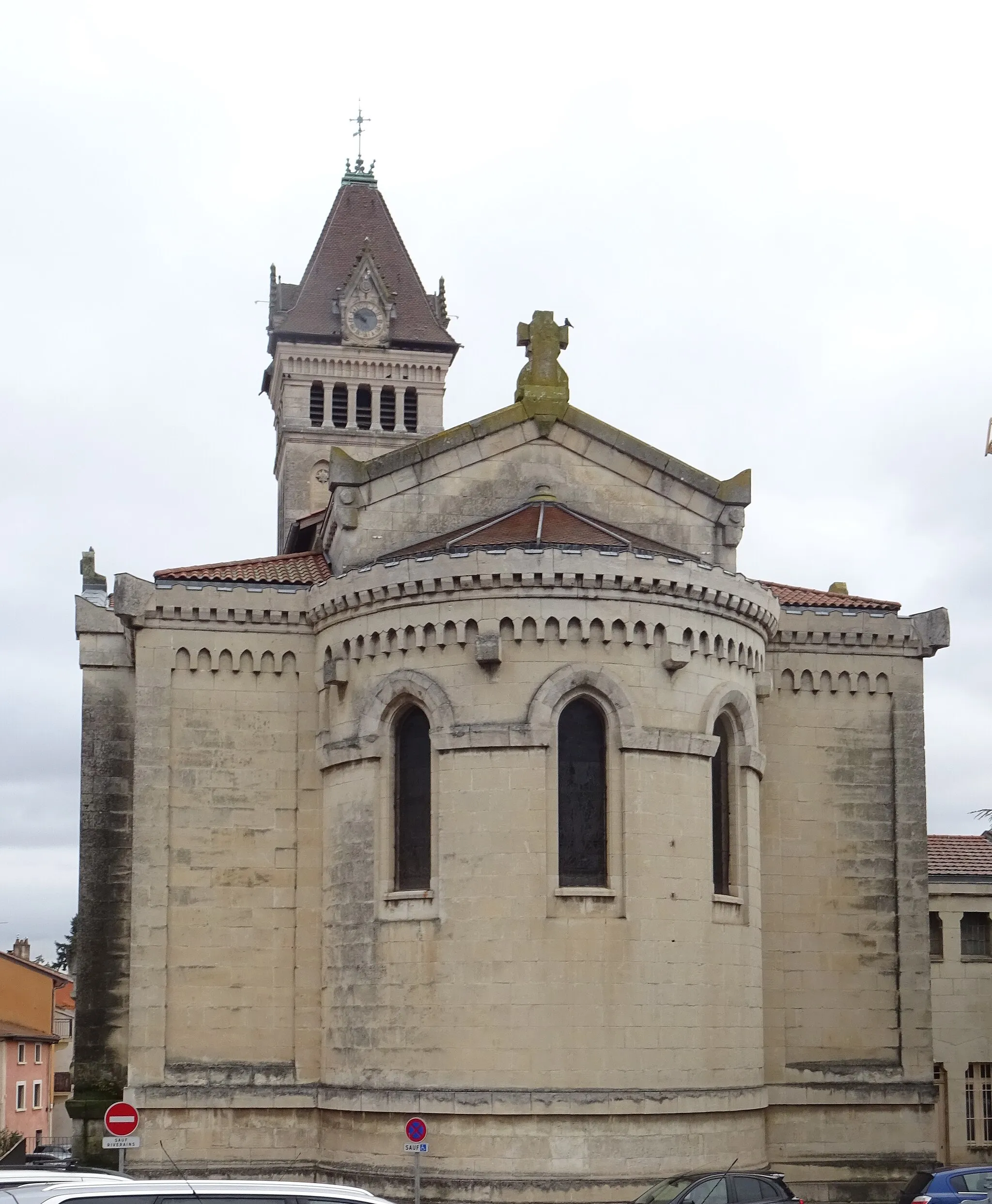
Jassans-RiottierVillageJassans-Riottier, known for its charming streets and historical sites
48 km
48 km
ReyrieuxVillageReyrieux, famous for its medieval architecture and picturesque streets
65 km
65 km
Caluire-et-CuireTownCaluire-et-Cuire, featuring stunning views of the Saône River and its waterfront promenade
66 km
66 km
Le Belvédère et les lanternes de l'île BarbeViewpointLe Belvédère et les lanternes de l'île Barbe, a mesmerizing lookout point offering stunning views of the Rhône River and Lyon's iconic landmarks
77 km
77 km
Finish: Craponne Village centerCraponne: Cycling paradise in the Rhône-Alpes region.
Cycling routes from Craponne:
Cycling routes nearby: