Scenic Route to Craponne
A road cycling route starting from Craponne
A picturesque road with beautiful landscapes
Map

This route is perfect for cyclists who enjoy scenic views and picturesque landscapes. It starts near Craponne and takes you through the charming towns of Esplanade, La Mulatière, Saint-Fons, Brignais, Chaponost, and finally ends in Craponne. The route is 46 kilometers long and includes an elevation gain of 486 meters. Cyclists can expect a moderate difficulty level on this road, suitable for very well-trained amateurs. The route offers a mix of flat roads and gentle slopes, making it ideal for a leisurely ride. The highlights of this route include the beautiful Esplanade, the charming town of Chaponost, and the final destination of Craponne itself.
road
46 km
486 m
Tough
Route profile
Highlights on the route
0 km
0 km
Start: Craponne Village centerCraponne: Cycling paradise in the Rhône-Alpes region.
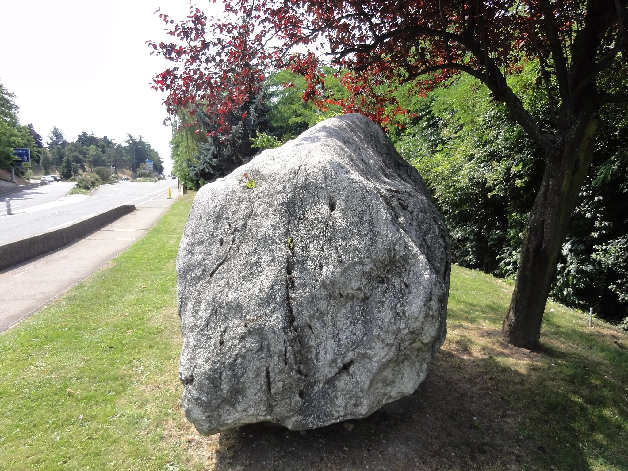
Craponne is a locality in Rhône-Alpes, France. From a cyclist's perspective, Craponne offers a mix of both challenging climbs and scenic routes. The area is known for its hilly terrain, which makes it suitable for road cyclists seeking a good workout. The Col De Crévier is a well-known climb nearby that attracts cyclists from all over. With its beautiful countryside and tranquil atmosphere, Craponne is an ideal destination for both road and gravel cyclists looking to explore the Rhône-Alpes region.9 km
9 km
EsplanadeViewpointEsplanade is a small town located along the cycling route with beautiful historic buildings and a vibrant local community.
12 km
12 km
La MulatièreVillageLa Mulatière is a picturesque town known for its stunning views of the Rhône River. Cyclists can stop by and enjoy the scenery.
18 km
18 km
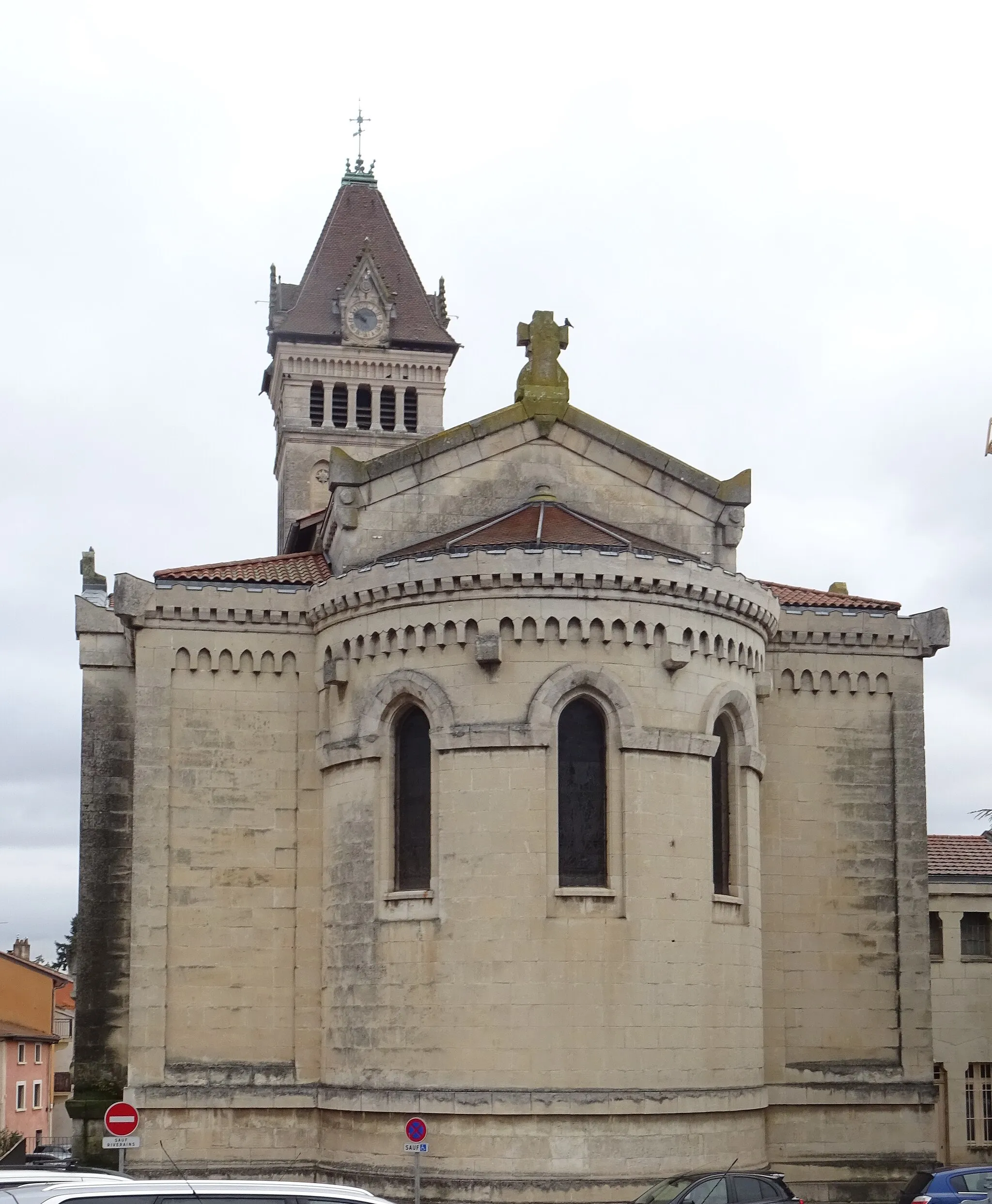
Saint-FonsTownSaint-Fons is a historic town famous for its well-preserved architecture and charming streets. It's worth a visit during your cycling trip.
35 km
35 km
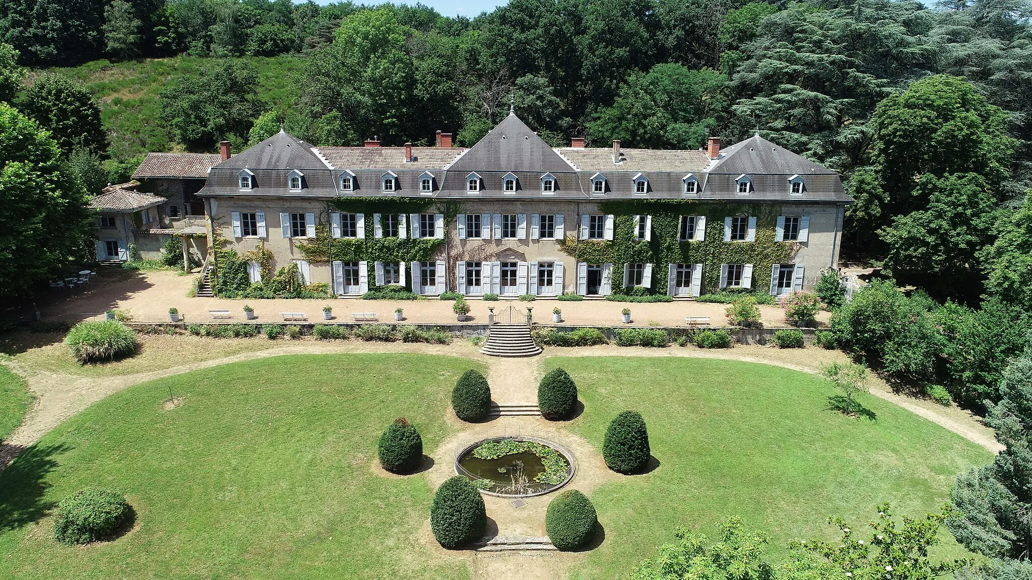
BrignaisTownBrignais is a lovely town with a bustling market, where cyclists can rest and enjoy local delicacies before continuing their journey.
40 km
40 km
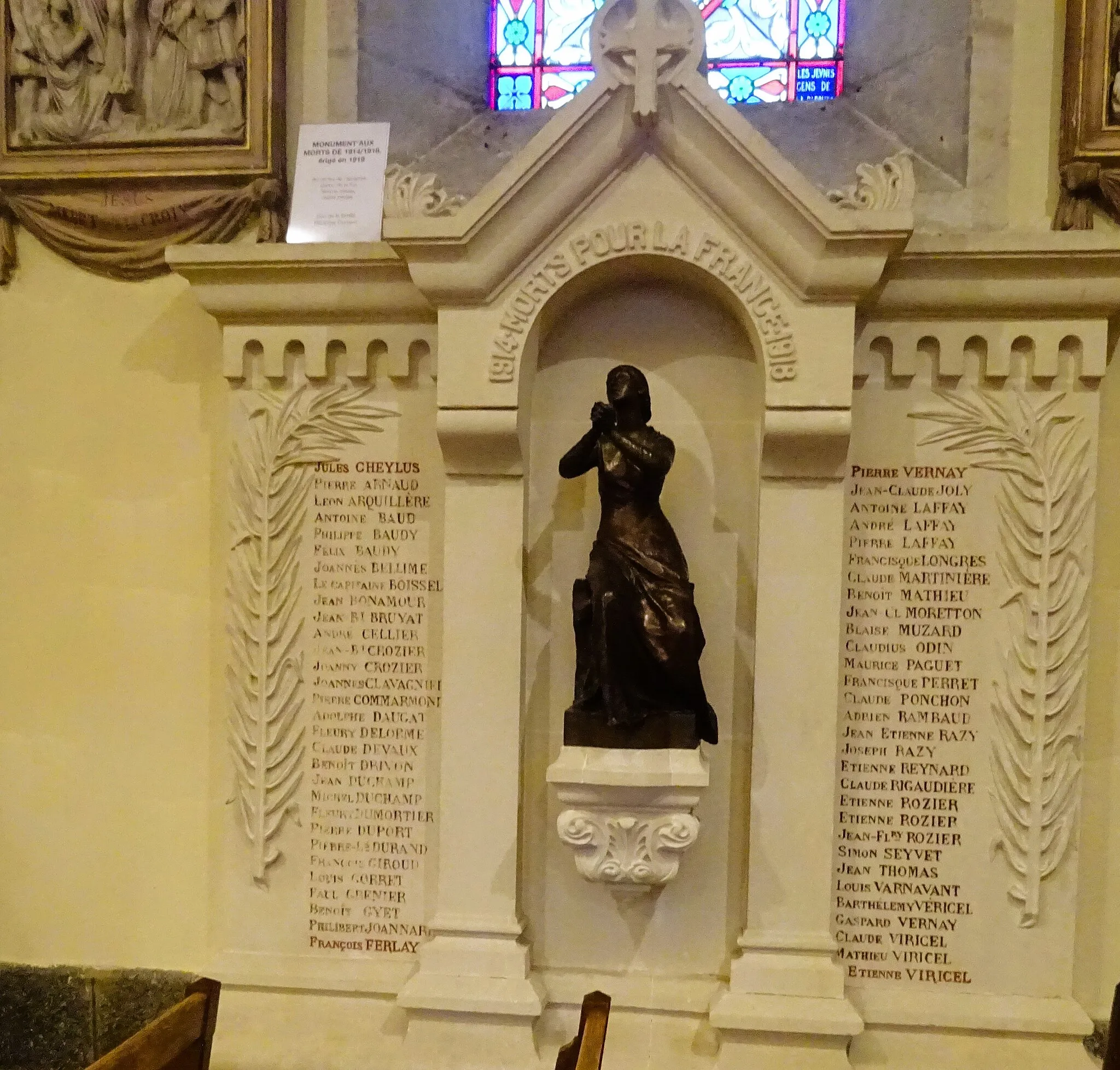
ChaponostVillageChaponost is a charming village with winding streets and beautiful architecture. Take a break here and explore its historic center.
46 km
46 km
CraponneVillageCraponne is the final destination of this route and offers cyclists a chance to rest and enjoy the local amenities. Take some time to explore the town before heading back.
46 km
46 km
Finish: Craponne Village centerCraponne: Cycling paradise in the Rhône-Alpes region.
Cycling routes from Craponne:
Cycling routes nearby: