Challenging Mountain Ride from Craponne
A road cycling route starting from Craponne
Conquer the mountains near Craponne on this challenging road cycling route.
Map

This challenging road cycling route takes you on an epic mountain adventure near Craponne, daring you to conquer the steep ascents and thrilling descents. Starting in Messimy, the route leads you to Crêt du Bouchat, Table d'orientation, Riverie, Crêt Malherbe, Grammond, Chazelles-sur-Lyon, Sainte-Foy-l'Argentière, Chevinay, Col de la Croix du Ban, and Craponne. With a distance of 100 km and an ascent of 1864 m, this route is not for the faint-hearted. The scenic mountain roads provide breathtaking views and a true test of endurance. Prepare for an unforgettable cycling experience among the majestic peaks and pristine nature.
road
100 km
1864 m
Savage
Route profile
Highlights on the route
0 km
0 km
Start: Craponne Village centerCraponne: Cycling paradise in the Rhône-Alpes region.
Craponne is a locality in Rhône-Alpes, France. From a cyclist's perspective, Craponne offers a mix of both challenging climbs and scenic routes. The area is known for its hilly terrain, which makes it suitable for road cyclists seeking a good workout. The Col De Crévier is a well-known climb nearby that attracts cyclists from all over. With its beautiful countryside and tranquil atmosphere, Craponne is an ideal destination for both road and gravel cyclists looking to explore the Rhône-Alpes region.6 km
6 km
MessimyVillageMessimy is a picturesque village with beautiful churches and stunning views over the valley.
16 km
16 km
Crêt du Bouchat586 mPeakCrêt du Bouchat offers a challenging climb and rewards you with breathtaking views from the summit.
27 km
27 km
Table d'orientationViewpointTable d'orientation provides a panoramic view of the surrounding mountains, forests, and valleys.
27 km
27 km
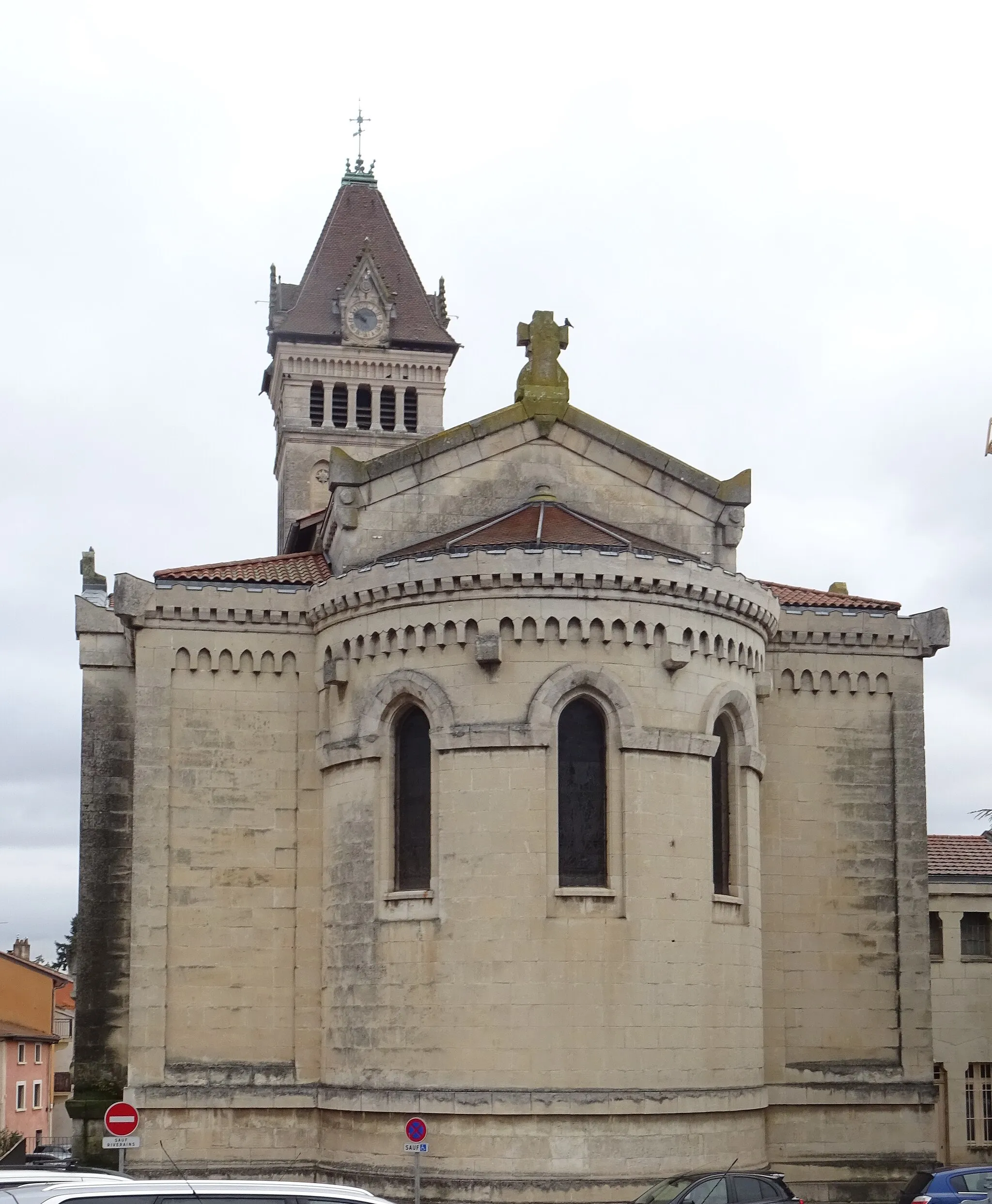
RiverieVillageRiverie is a medieval village perched on a hilltop, offering a glimpse into the region's history.
37 km
37 km
Crêt Malherbe943 mPeakCrêt Malherbe is a popular spot among cyclists, known for its demanding ascent and rewarding vistas.
44 km
44 km
GrammondVillageGrammond is nestled in a picturesque valley, surrounded by rolling hills and lush green meadows.
58 km
58 km
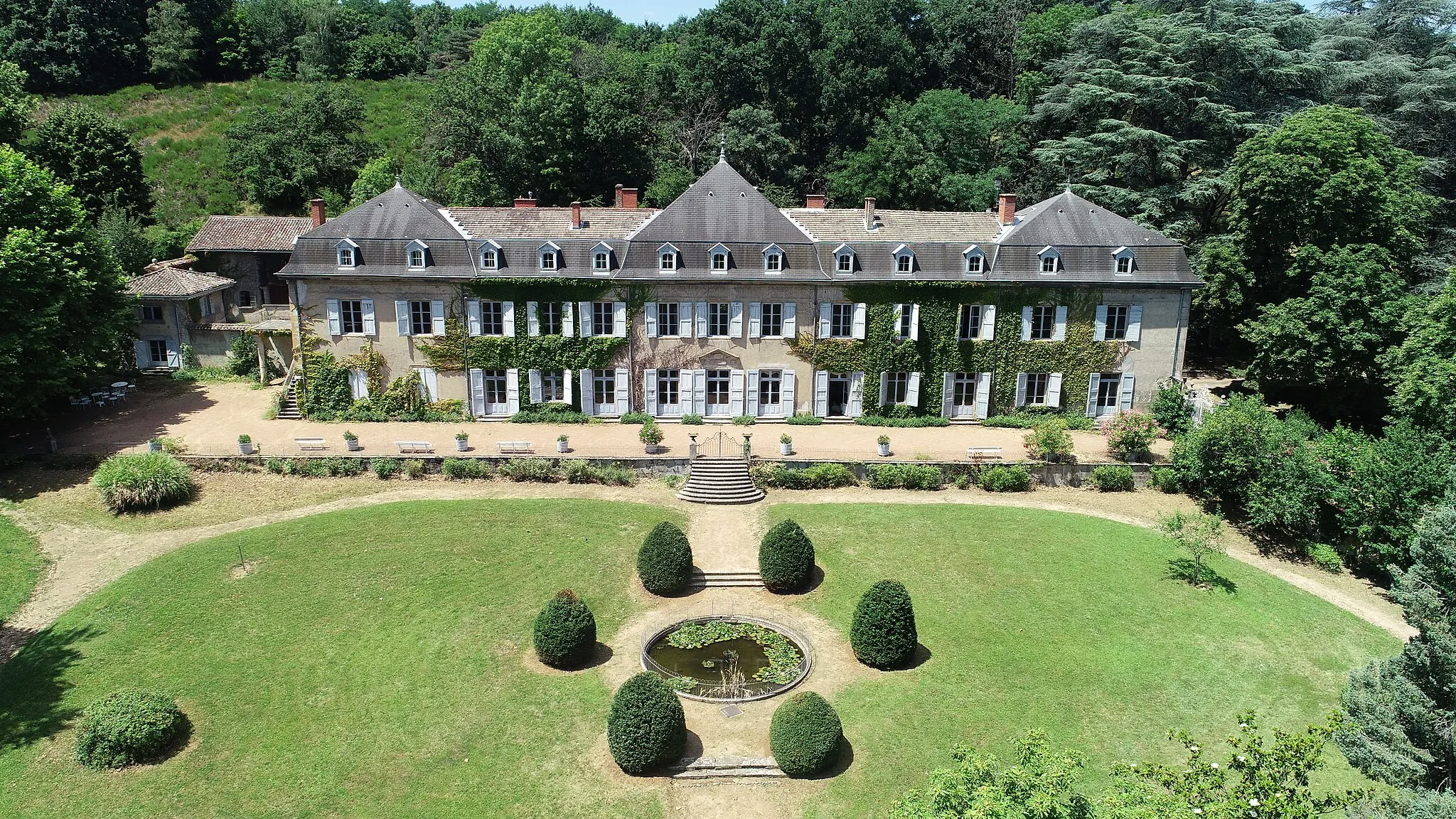
Chazelles-sur-LyonVillageChazelles-sur-Lyon boasts an impressive castle and offers stunning views of the surrounding countryside.
69 km
69 km
Sainte-Foy-l'ArgentièreVillageSainte-Foy-l'Argentière is a charming medieval town with narrow streets and well-preserved architecture.
86 km
86 km
ChevinayVillageChevinay is known for its historic church and beautiful rural landscapes.
92 km
92 km
Col de la Croix du Ban604 mMountain PassCol de la Croix du Ban is a legendary climb among cyclists, offering a formidable challenge.
100 km
100 km
CraponneVillageCraponne is the starting and ending point of this challenging route, where you can relax and reflect on your achievements.
100 km
100 km
Finish: Craponne Village centerCraponne: Cycling paradise in the Rhône-Alpes region.
Cycling routes from Craponne:
Cycling routes nearby: