The Mont Sion Challenge
A road cycling route starting from Douvaine
Conquer the Col du Mont Sion and enjoy serene countryside
Map
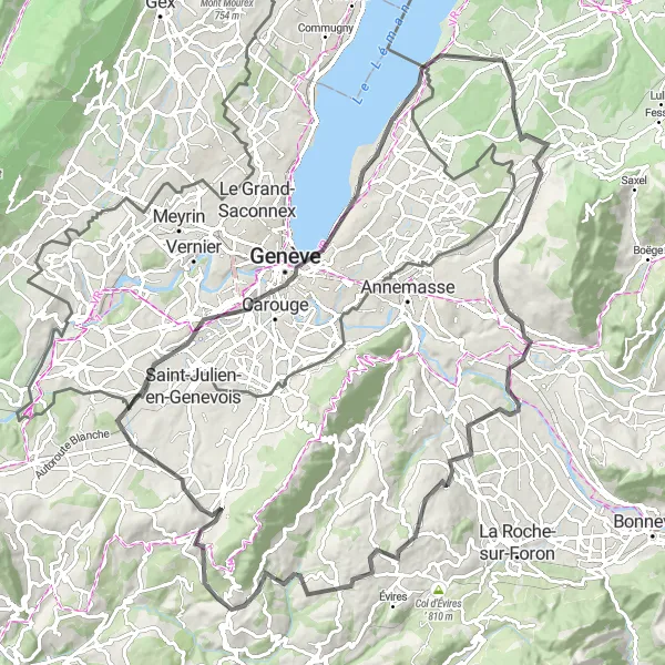
The Mont Sion Challenge is a 103 km round-trip route that allows cyclists to test their endurance and conquer challenging climbs. With a total ascent of 1394 meters, this road cycling adventure takes riders through stunning countryside near Douvaine. Cyclists will pass through Saint-Cergues, Nangy, Panorama, Menthonnex-en-Bornes, Cruseilles, Col du Mont Sion, Carouge, Belvédère de l'Observatoire, and Hermance. Along the way, cyclists can enjoy panoramic views, peaceful villages, and charming landscapes.
road
103 km
1394 m
Tough
Route profile
Highlights on the route
0 km
0 km
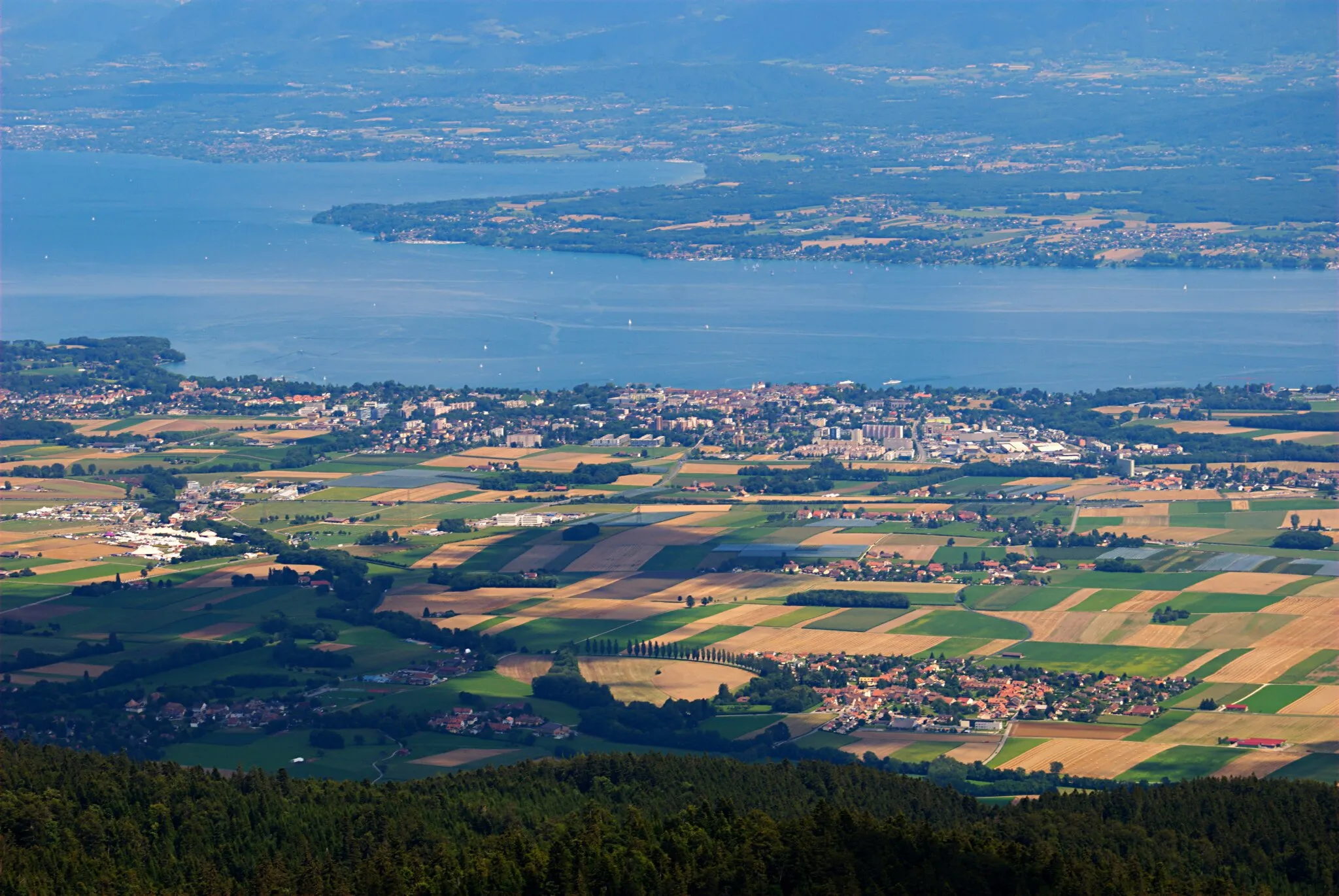
Start: Douvaine Village centerDouvaine: Cycling paradise in Rhône-Alpes
Douvaine is a locality in Rhône-Alpes, France that is suitable for road and gravel cycling. Its scenic routes and peaceful roads make it an appealing destination for cyclists. The highlight for cyclists in Douvaine is the nearby climb to the Col de Cou, which offers stunning views of the surrounding countryside. With its favorable cycling conditions and beautiful landscapes, Douvaine is a great option for cyclists looking for a peaceful ride.10 km
10 km
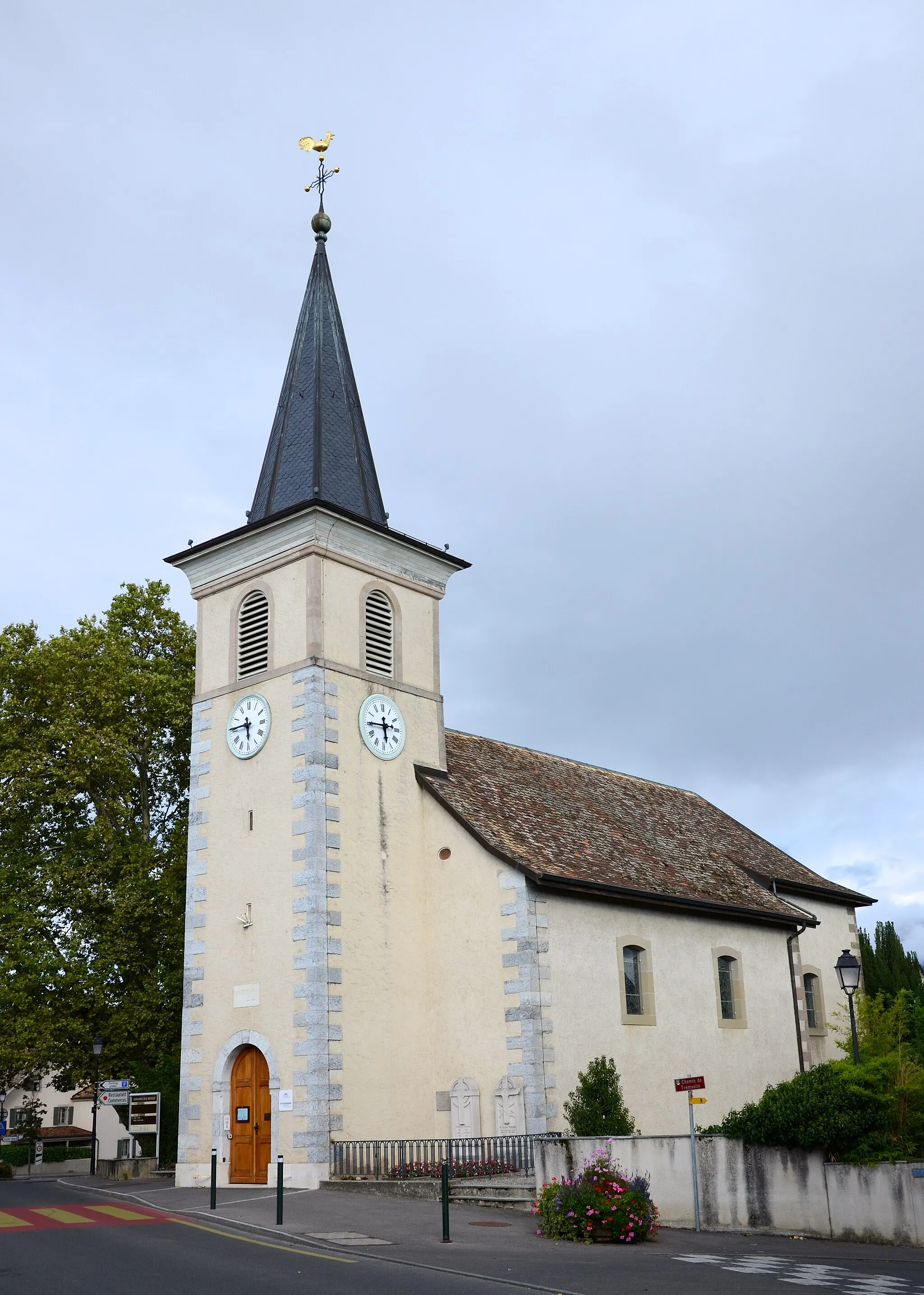
Saint-CerguesVillageSaint-Cergues is a charming town with beautiful architecture and well-preserved historical sites.
21 km
21 km
NangyVillageNangy is a quaint village nestled in the beautiful Montagne des Voirons and offers stunning views of the surrounding landscape.
31 km
31 km
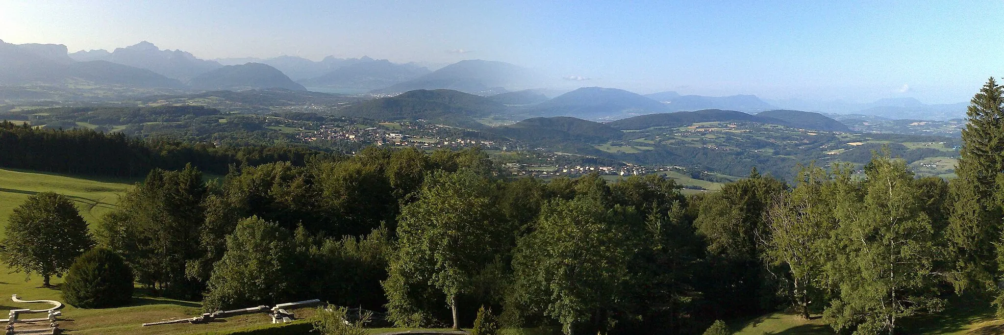
PanoramaViewpointPanorama is aptly named, providing cyclists with breathtaking views of the Rhône-Alpes region from its elevated position.
45 km
45 km
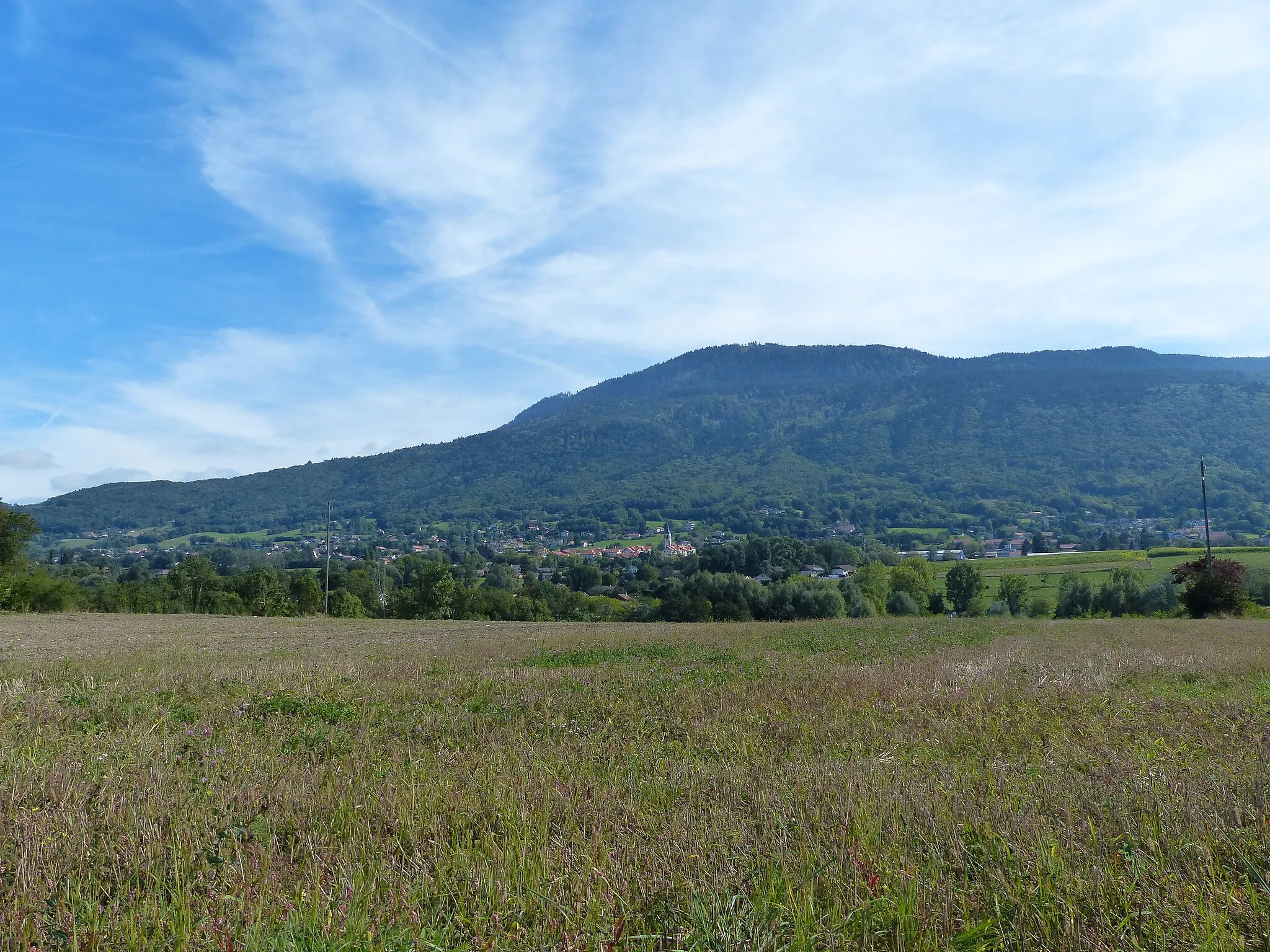
Menthonnex-en-BornesVillageMenthonnex-en-Bornes is a peaceful village surrounded by rolling hills and provides a tranquil atmosphere for cyclists.
53 km
53 km
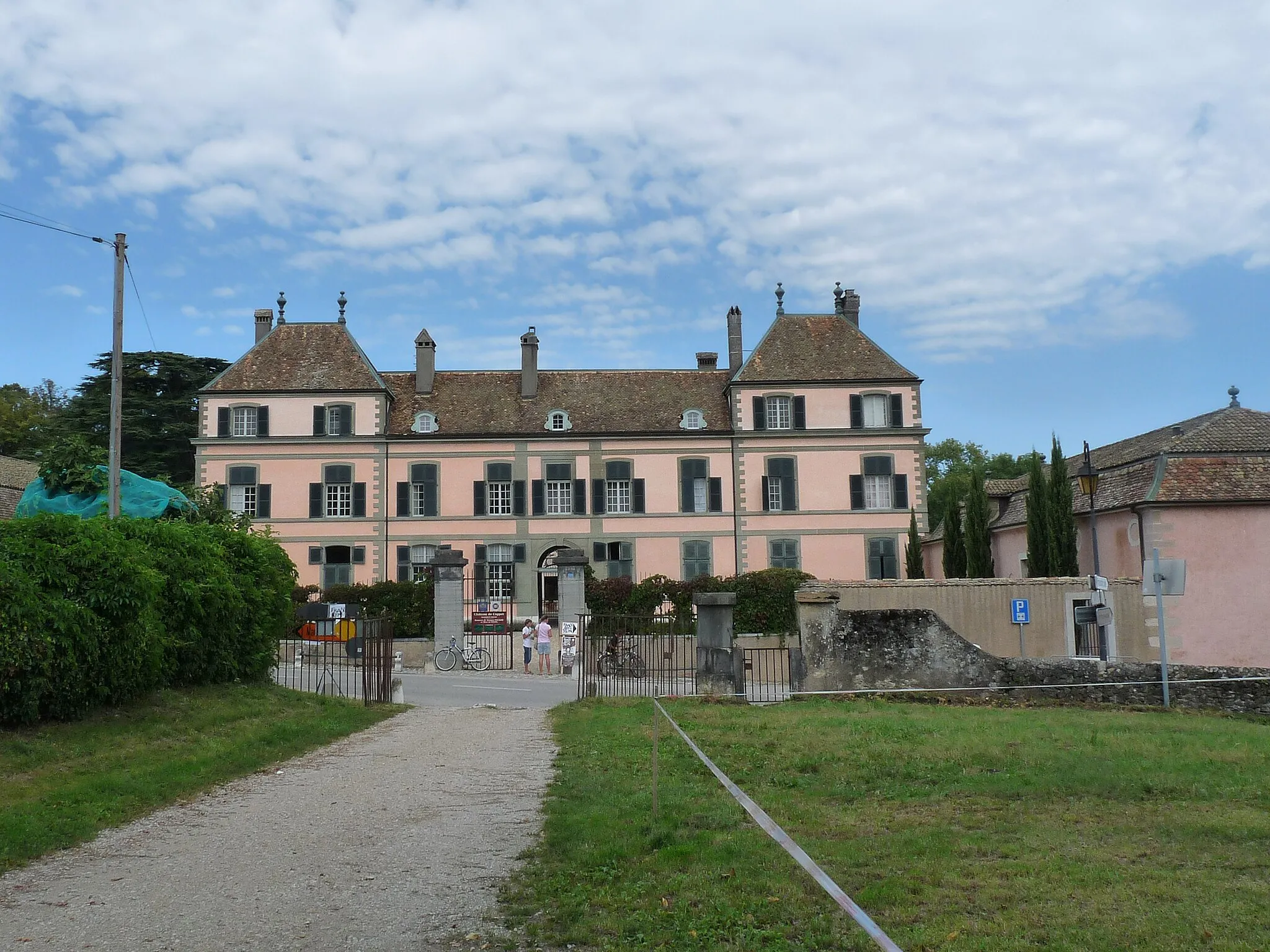
CruseillesVillageCruseilles is known for its idyllic countryside setting and well-preserved medieval architecture.
59 km
59 km
Col du Mont Sion786 mMountain PassCol du Mont Sion is a challenging climb that rewards cyclists with stunning scenic vistas from its summit.
82 km
82 km
CarougeTownCarouge is a picturesque village with colorful houses, charming squares, and a vibrant market.
84 km
84 km
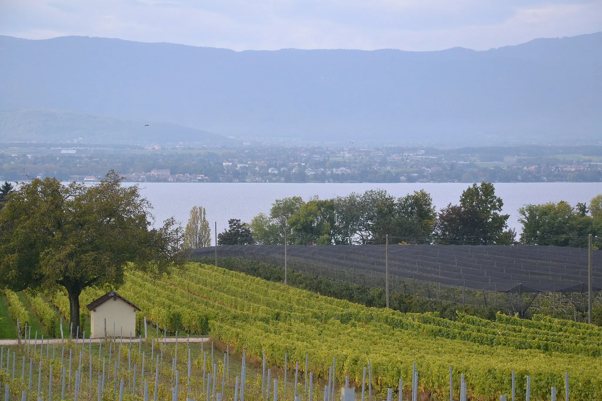
Belvédère de l'ObservatoireViewpointBelvédère de l'Observatoire offers breathtaking panoramic views across the Swiss and French Alps.
98 km
98 km
HermanceVillageHermance is a delightful lakeside village known for its medieval streets, historic buildings, and charming waterfront.
103 km
103 km
Finish: Douvaine Village centerDouvaine: Cycling paradise in Rhône-Alpes
Cycling routes from Douvaine:
Cycling routes nearby: