Convenient and peaceful cycling in Fareins
Cycling routes from Fareins
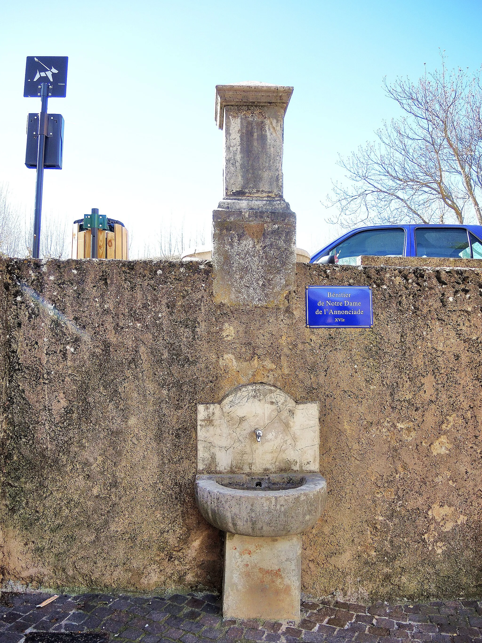
Fareins, located in the Rhône-Alpes region of France, offers a convenient and enjoyable cycling experience for road and gravel cyclists. The locality features well-maintained roads with scenic routes that showcase rolling hills and beautiful countryside scenery. Although there might not be any famous cycling-related spots or well-known climbs nearby, Fareins provides a peaceful and pleasant atmosphere for cycling. The town itself has amenities such as restaurants and accommodations for tourists to enjoy.
Gueéreins Expedition
An off-road adventure through picturesque landscapes
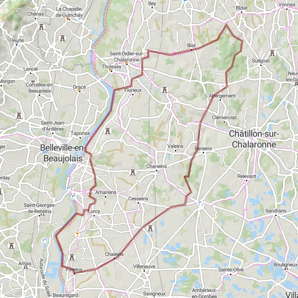
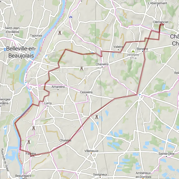
Embark on an off-road adventure through the scenic landscapes near Fareins with this gravel cycling route. With a moderate difficulty level, this route is suitable for well-trained amateurs looking for some excitement. As you cycle through the region, admire the picturesque village of Gueéreins and take in the tranquility of Illiat. Highlights include crossing the Baneins countryside and exploring the charming village of Chaleins.
A short yet captivating gravel ride
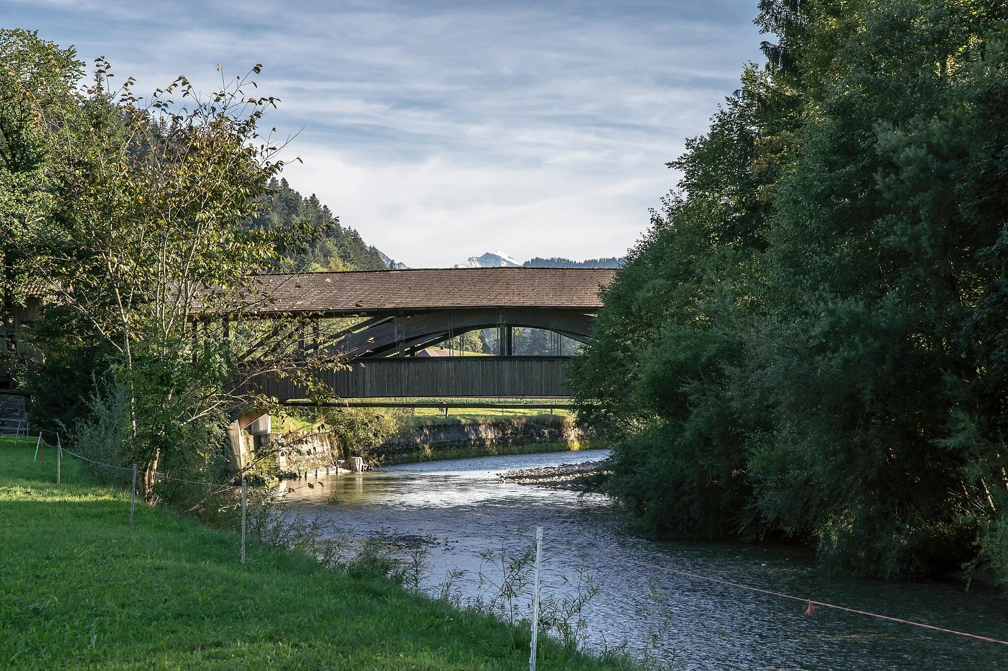
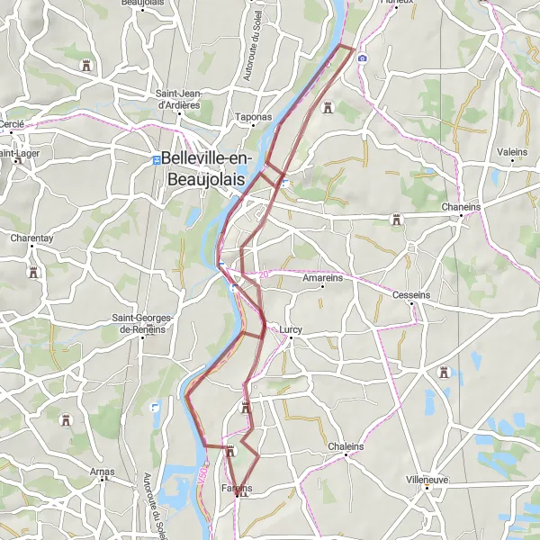
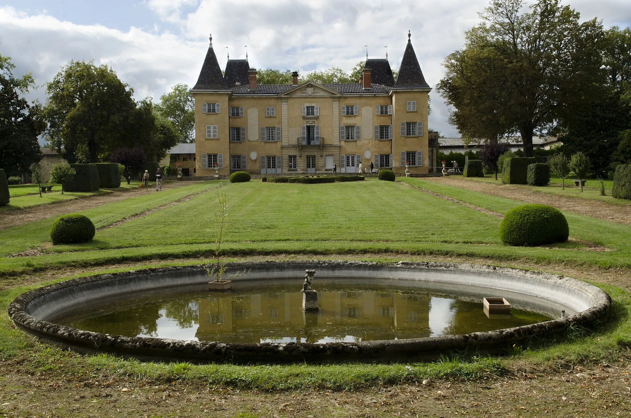
Discover the fascinating heritage of Rhône-Alpes with this short yet captivating gravel ride starting near Fareins. The route allows you to explore the majestic Château de Fléchères, ride through the peaceful village of Mogneneins, and return to your starting point in Fareins. With its moderate difficulty level, this route is ideal for all well-trained amateurs seeking a delightful cycling experience.
Discover the charms of Fareins and its surrounding area on this exciting gravel adventure.
Embark on a thrilling gravel adventure in Fareins and take in the picturesque landscapes, unique highlights, and challenging cycling routes the region has to offer. This route combines the perfect balance of ascent and distance, providing an exhilarating experience for cycling enthusiasts of all levels. With its diverse terrain and breathtaking views, Fareins is sure to impress both experienced riders and beginners alike. Experience the magic of this charming French region on an unforgettable cycling journey through stunning landscapes.
A ride to admire the beautiful Château de Beauregard
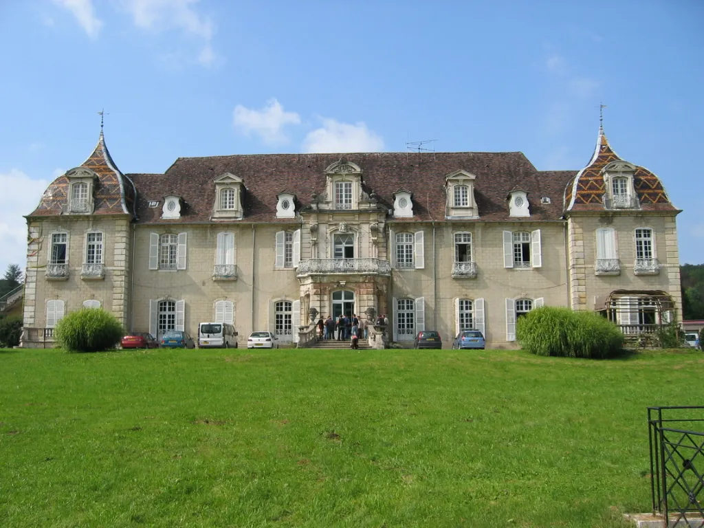
This route takes you on a scenic ride through picturesque French countryside, with the highlight being the magnificent Château de Beauregard. The route is moderately challenging with a total ascent of 649 meters and a distance of 65 kilometers. It is suitable for amateur cyclists who are looking for a unique and memorable cycling experience. The road surfaces are smooth, making it ideal for road bikes.

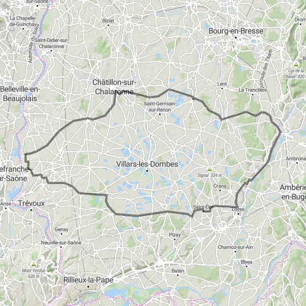
Embark on a journey through the stunning Dombes region
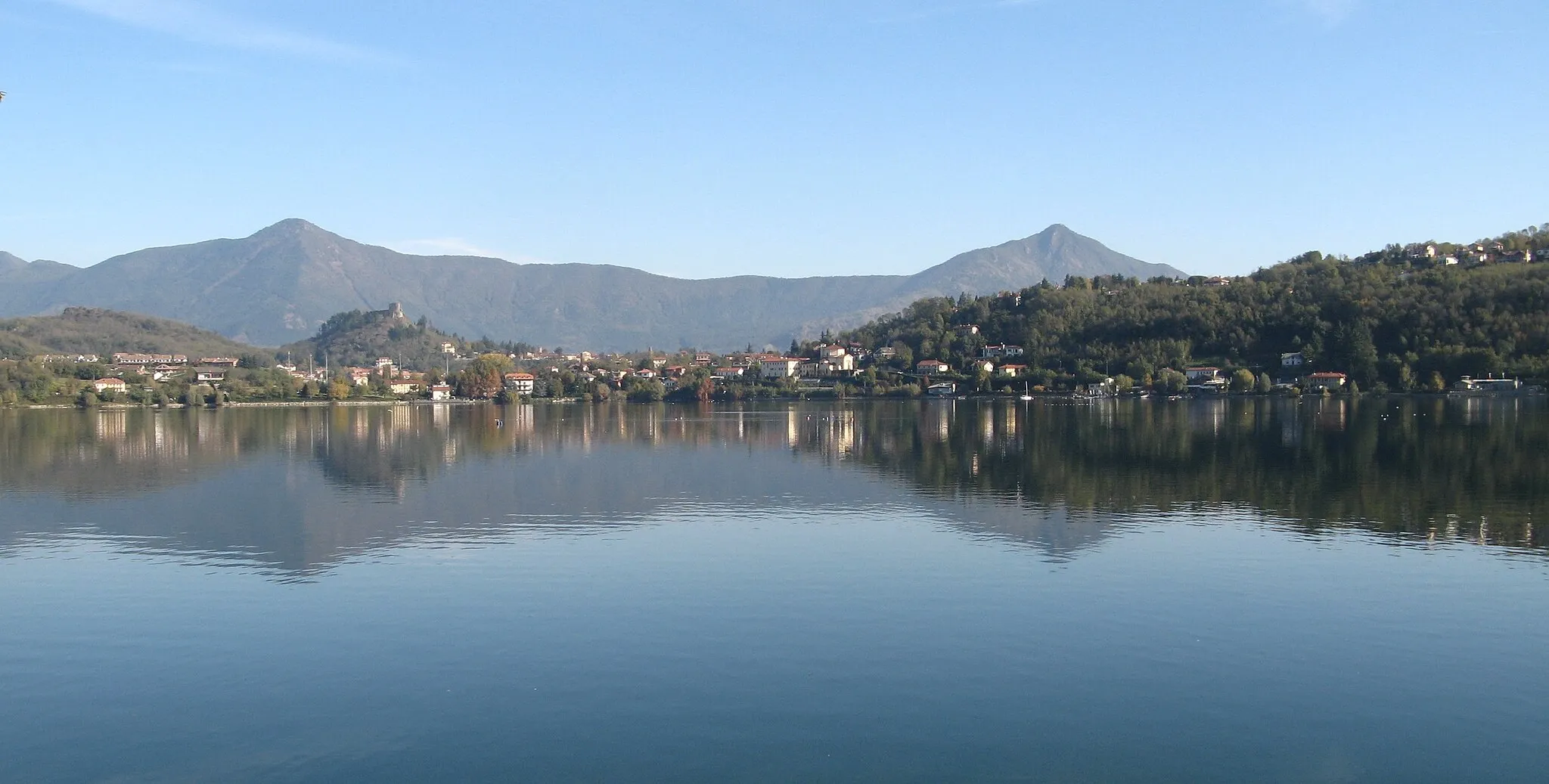
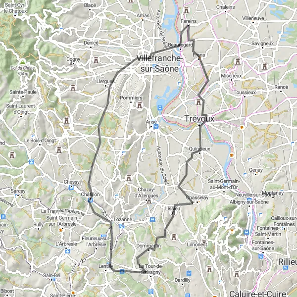
This cycling route takes you on a breathtaking journey through the picturesque Dombes region, famous for its thousand lakes and rich biodiversity. With a challenging total ascent of 995 meters and a distance of 117 kilometers, this route is ideal for experienced cyclists who want to explore the unique landscapes of the Dombes. The road surfaces are mostly smooth, allowing for a comfortable ride on a road bike.
The Saône Valley Ride
Discover the scenic beauty of the Saône Valley on this picturesque road cycling route.
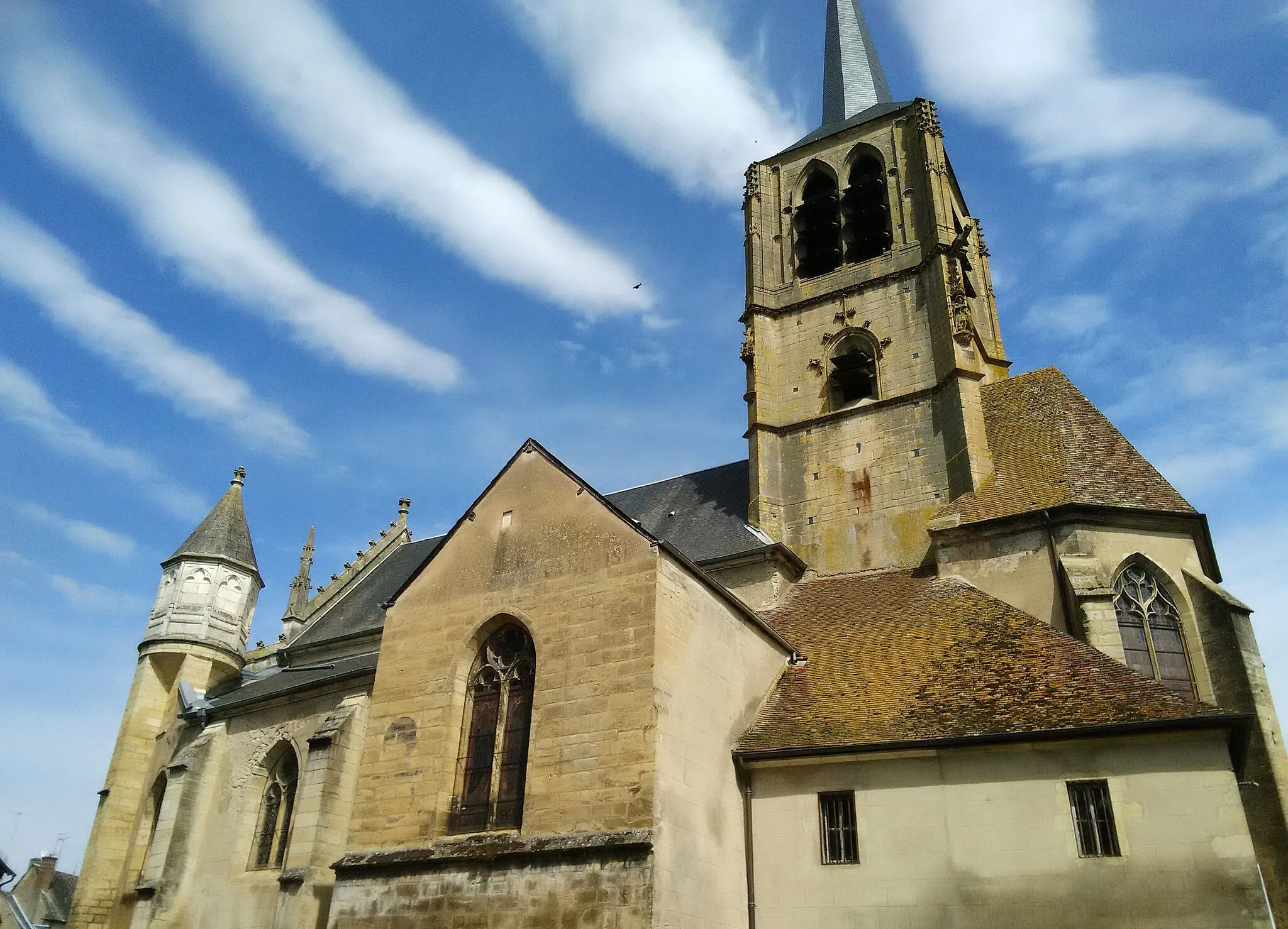
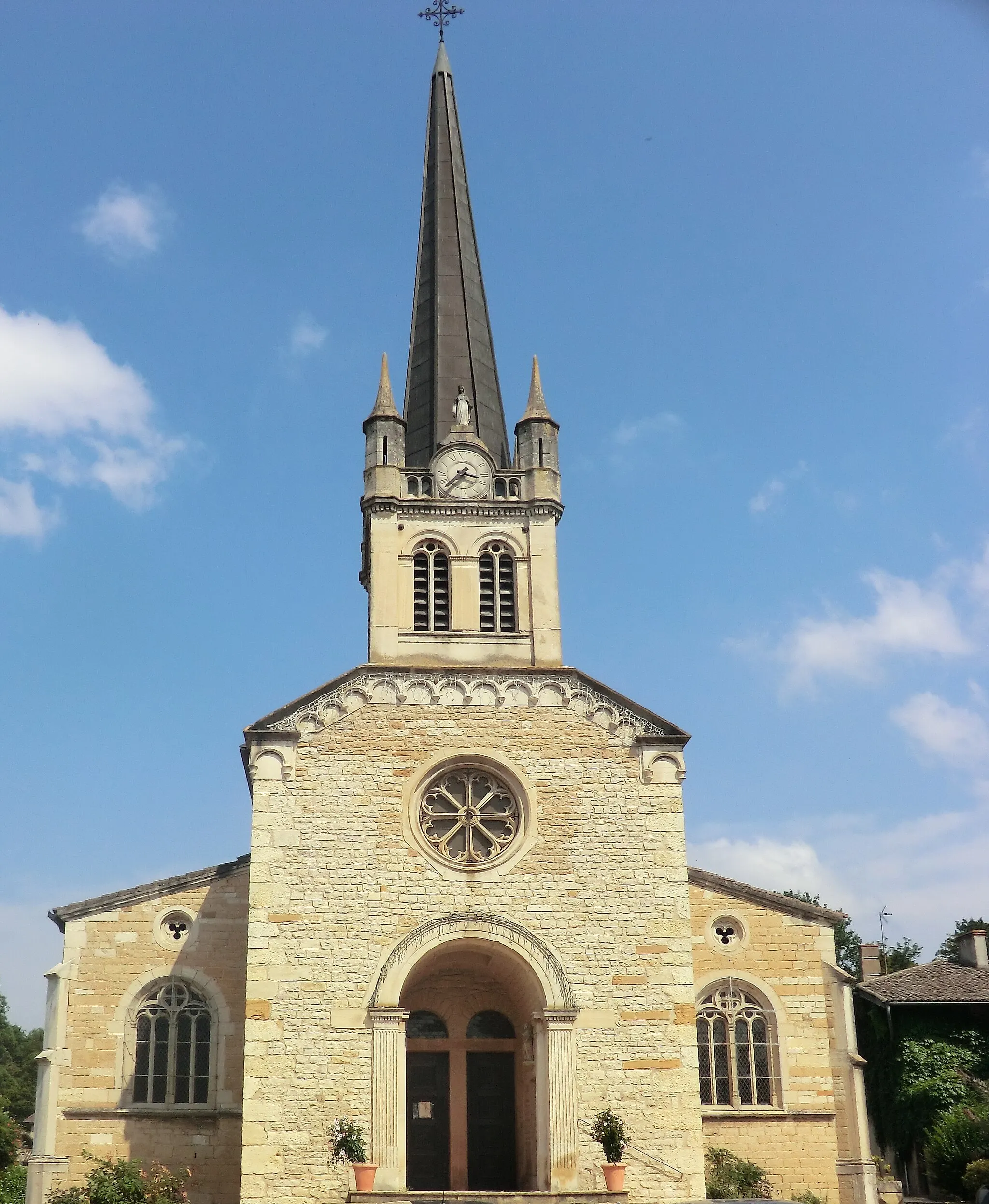
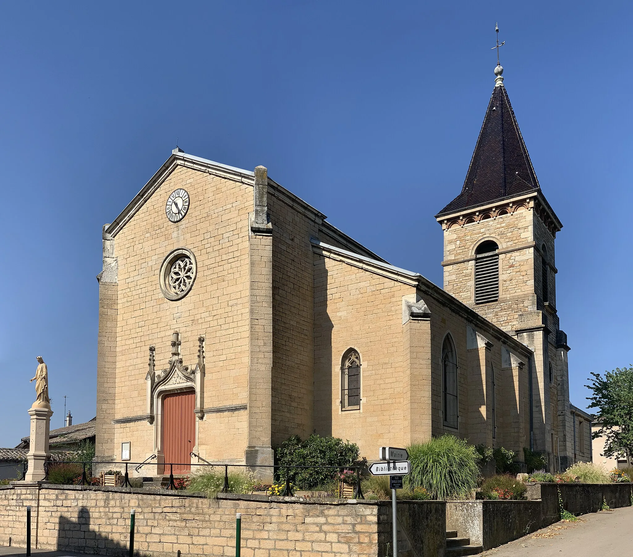
This scenic cycling route takes you along the stunning Saône Valley, offering breathtaking views of the river and surrounding landscapes. With a total ascent of 349 meters and a distance of 87 kilometers, this route is suitable for cyclists of various skill levels. The road surfaces are mostly smooth, allowing for a comfortable ride on a road bike. The highlight of the route is the charming village of Sulignat, known for its historic church and picturesque streets.
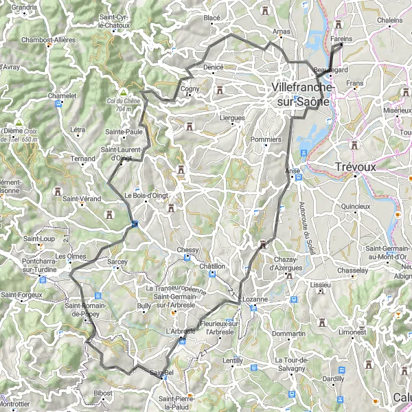
Ride through scenic landscapes and picturesque villages
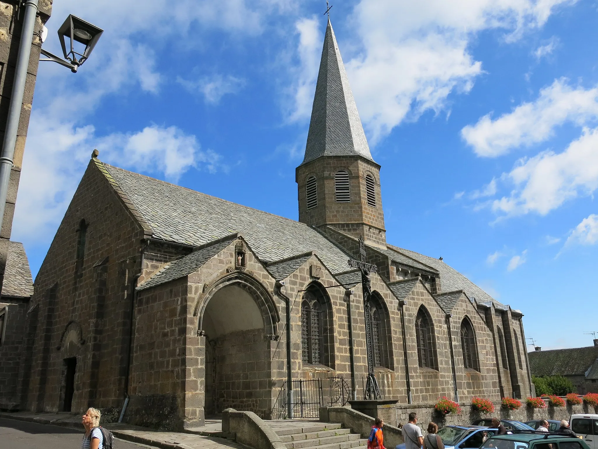
This route takes you on a journey through the beautiful landscapes of Rhône-Alpes, with highlights including the charming village of Gleizé and the famous Col du Joncin. The overall difficulty is moderate, suitable for well-trained amateur cyclists, and the route offers an epic experience with its stunning views and challenging climbs. Highlights include the historic Chambost-Allières village and the scenic Col de la Cambuse.
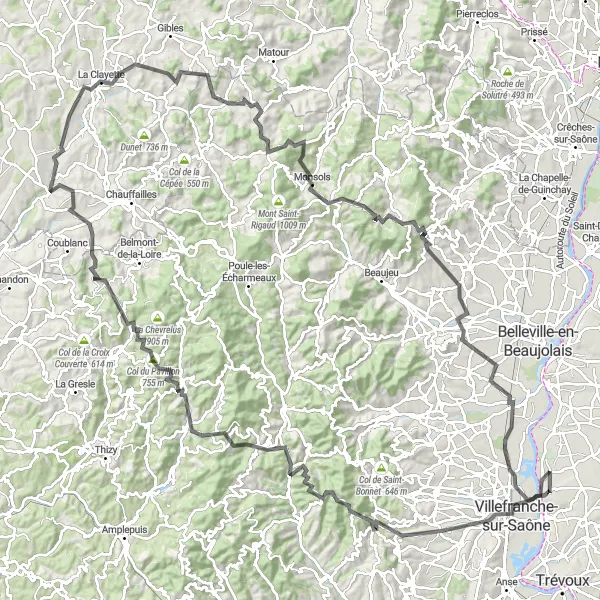
Challenge yourself on the hilly roads of Beaujolais
This challenging cycling route takes you through the stunning hills of Beaujolais, with breathtaking views of the surrounding vineyards and countryside. With a total ascent of 1082 meters and a distance of 88 kilometers, this route is recommended for experienced cyclists who are up for a demanding ride. The road surfaces vary, with some sections on smooth asphalt and others on gravel roads.
Beaujolais Escape
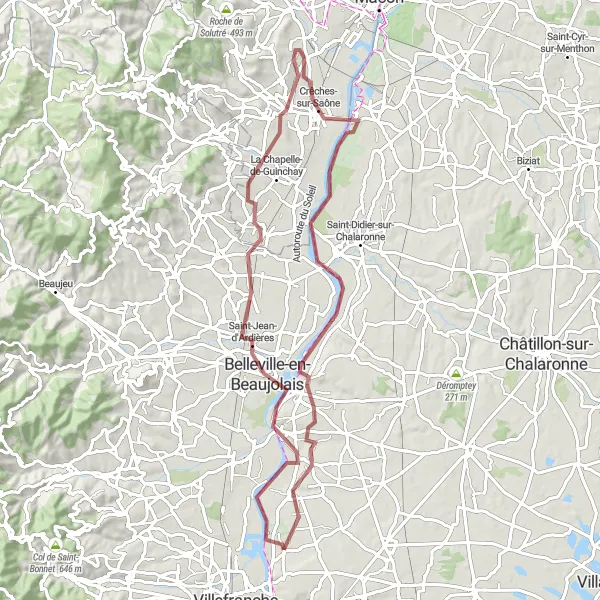
Unveil the enchanting beauty of Beaujolais
Embark on a captivating gravel ride through the beautiful landscapes of Beaujolais with this cycling route starting near Fareins. Pass by picturesque villages, vineyards, and rolling hills as you uncover the secret gems of this region. The difficulty level is moderate, suitable for well-trained amateur cyclists seeking an unforgettable adventure. Highlights include the charming village of Belleville-en-Beaujolais, the renowned wine hub of Romanèche-Thorins, and the rustic beauty of Chaintré and Saint-Romain-des-Îles.
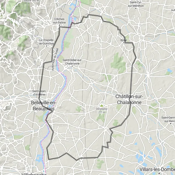
Experience the diverse landscapes surrounding Fareins on this challenging road bike route.
This epic cycling route takes you on a challenging ride across diverse landscapes, with highlights including the charming towns of Saint-Trivier-sur-Moignans and Châtillon-sur-Chalaronne. The route has a total ascent of 643 meters and covers a distance of 119 kilometers, making it suitable for experienced cyclists seeking a thrilling adventure. The road conditions vary, with some sections of smooth asphalt and others on gravel roads.
Cycling routes nearby:


Nearby regions: