The Hills of Beaujolais
A road cycling route starting from Fareins
Challenge yourself on the hilly roads of Beaujolais
Map
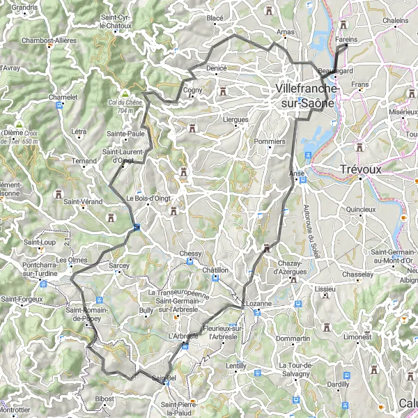
This challenging cycling route takes you through the stunning hills of Beaujolais, with breathtaking views of the surrounding vineyards and countryside. With a total ascent of 1082 meters and a distance of 88 kilometers, this route is recommended for experienced cyclists who are up for a demanding ride. The road surfaces vary, with some sections on smooth asphalt and others on gravel roads.
road
88 km
1082 m
Savage
Route profile
Highlights on the route
0 km
0 km
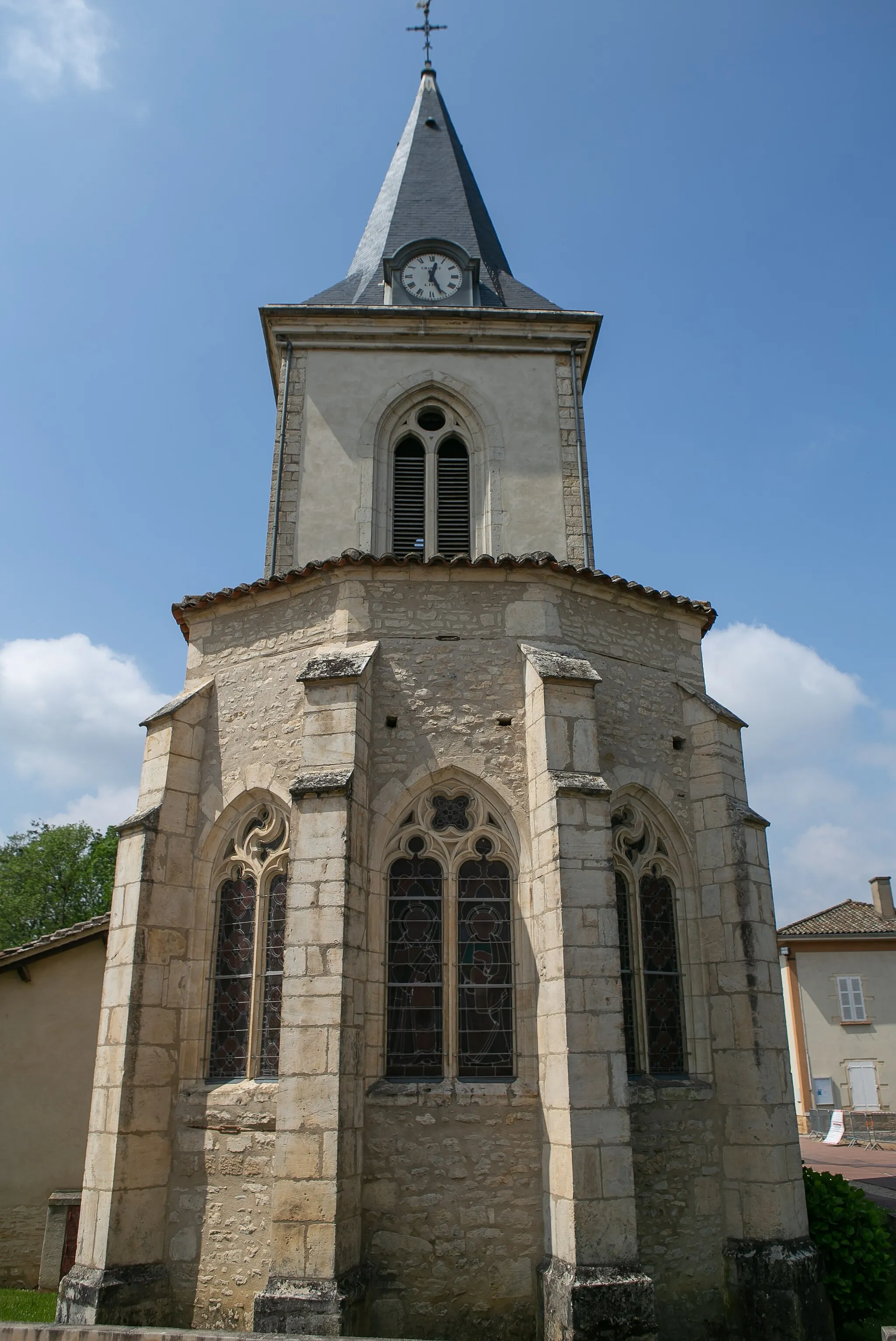
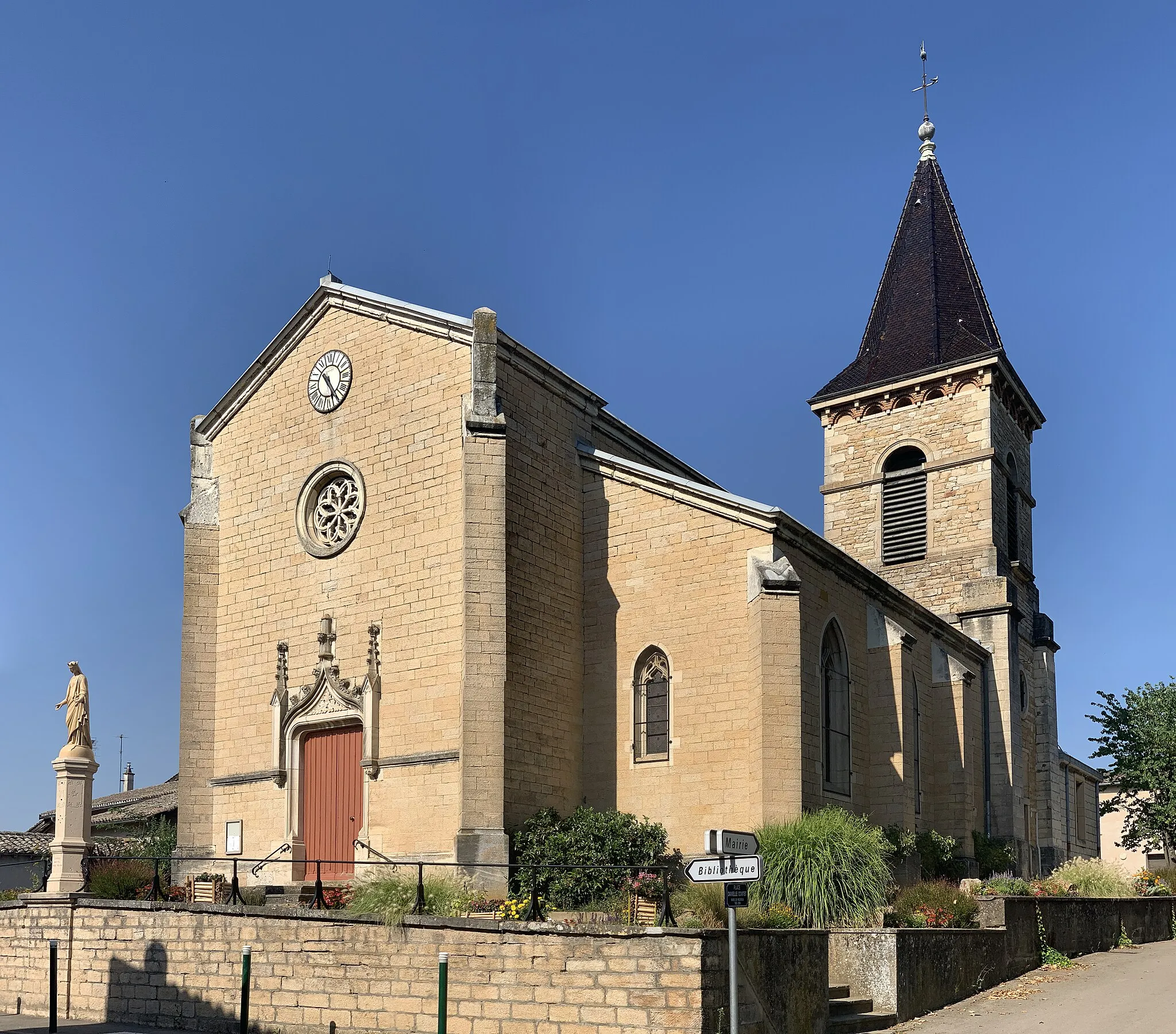
Start: Fareins Village centerFareins: Convenient and peaceful cycling in Fareins
Fareins, located in the Rhône-Alpes region of France, offers a convenient and enjoyable cycling experience for road and gravel cyclists. The locality features well-maintained roads with scenic routes that showcase rolling hills and beautiful countryside scenery. Although there might not be any famous cycling-related spots or well-known climbs nearby, Fareins provides a peaceful and pleasant atmosphere for cycling. The town itself has amenities such as restaurants and accommodations for tourists to enjoy.8 km
8 km
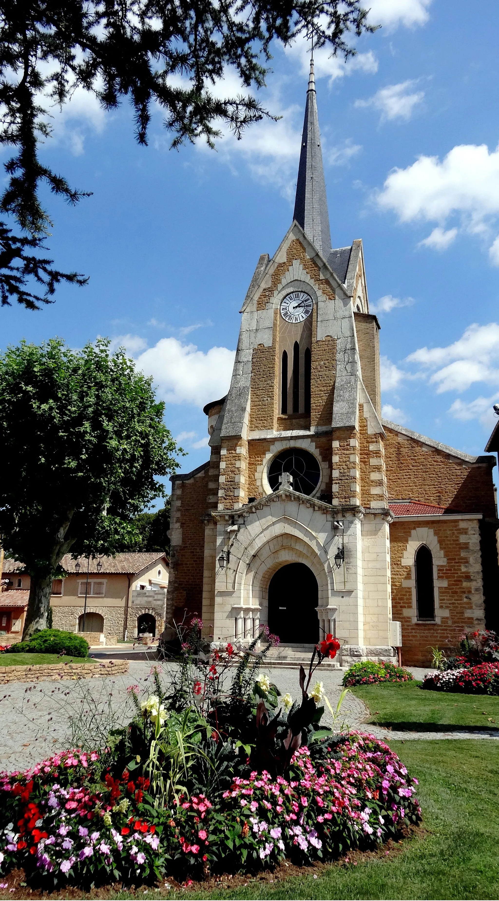
LimasVillageStop by Limas and enjoy the charming atmosphere of this small town, known for its beautiful town square and historic buildings.
28 km
28 km
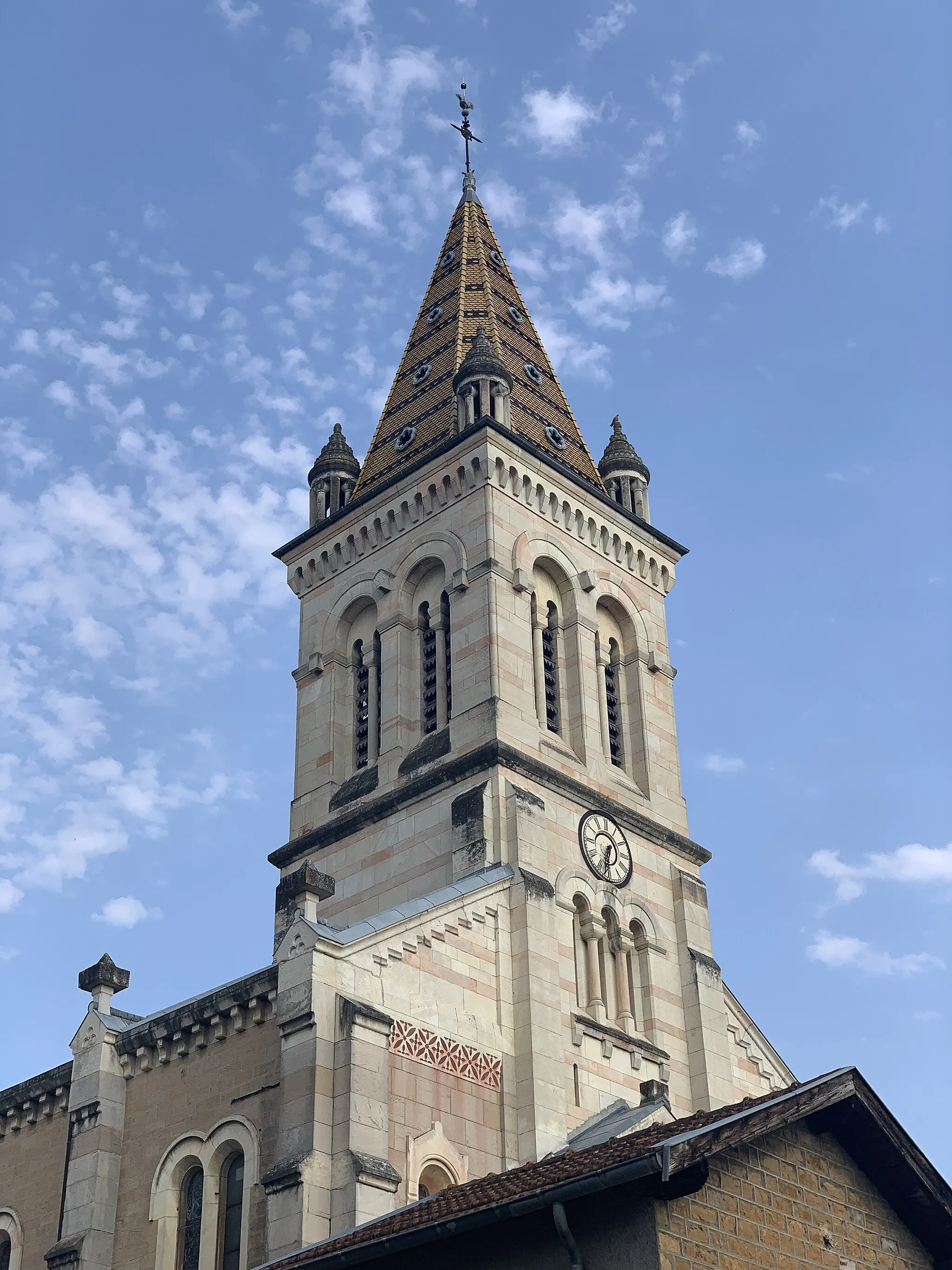
L'ArbresleVillageVisit L'Arbresle, a picturesque town surrounded by hills and vineyards, and take in the stunning views.
42 km
42 km
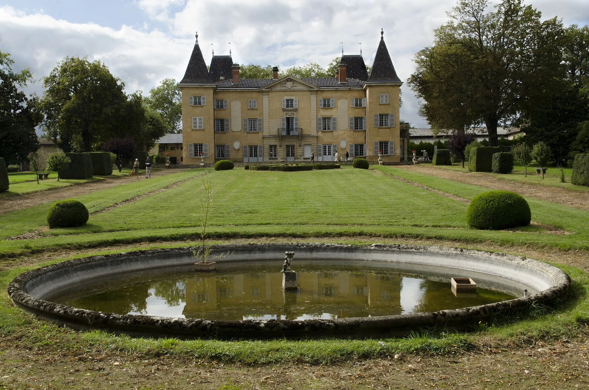
Saint-Romain-de-PopeyVillagePass through Saint-Romain-de-Popey, a small village with a rich history and beautiful medieval architecture.
52 km
52 km
LégnyVillageExperience the scenic beauty of Légny, situated on a hilltop and offering panoramic views of the Beaujolais region.
59 km
59 km
ChautardViewpointEnjoy the peacefulness of Chautard, a tiny village known for its natural beauty and tranquility.
80 km
80 km
ArnasVillageCycle through Arnas and soak in the charming atmosphere of this traditional French town.
87 km
87 km
Le PouletHamletPass by Le Poulet and admire the scenic landscapes of this countryside area.
88 km
88 km
Finish: Fareins Village centerFareins: Convenient and peaceful cycling in Fareins
Cycling routes nearby: