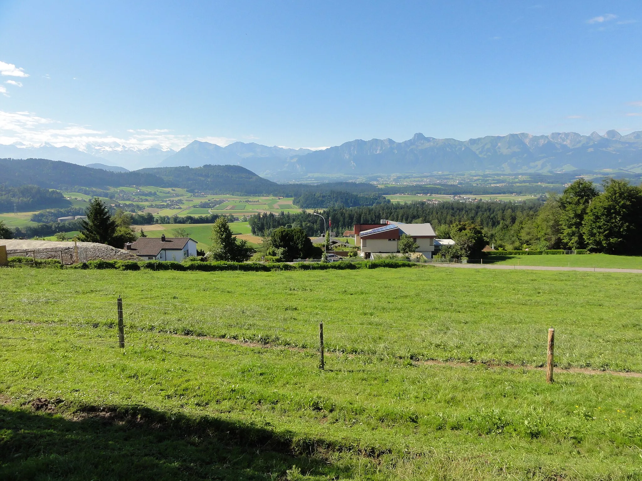
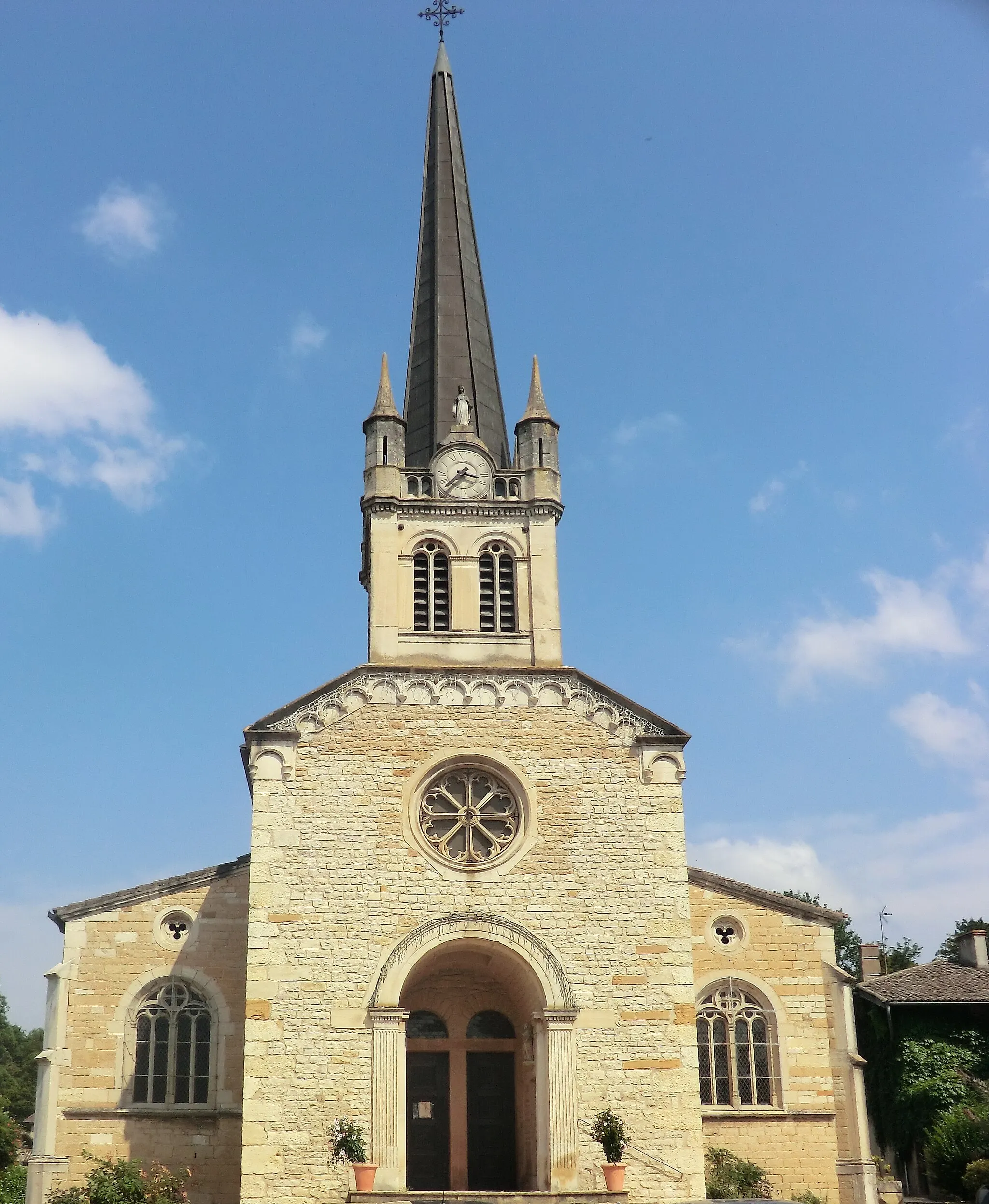
Villefranche-sur-Saône, the gateway to challenging Col du Mont Brouilly climb.
Cycling routes from Villefranche-sur-Saone
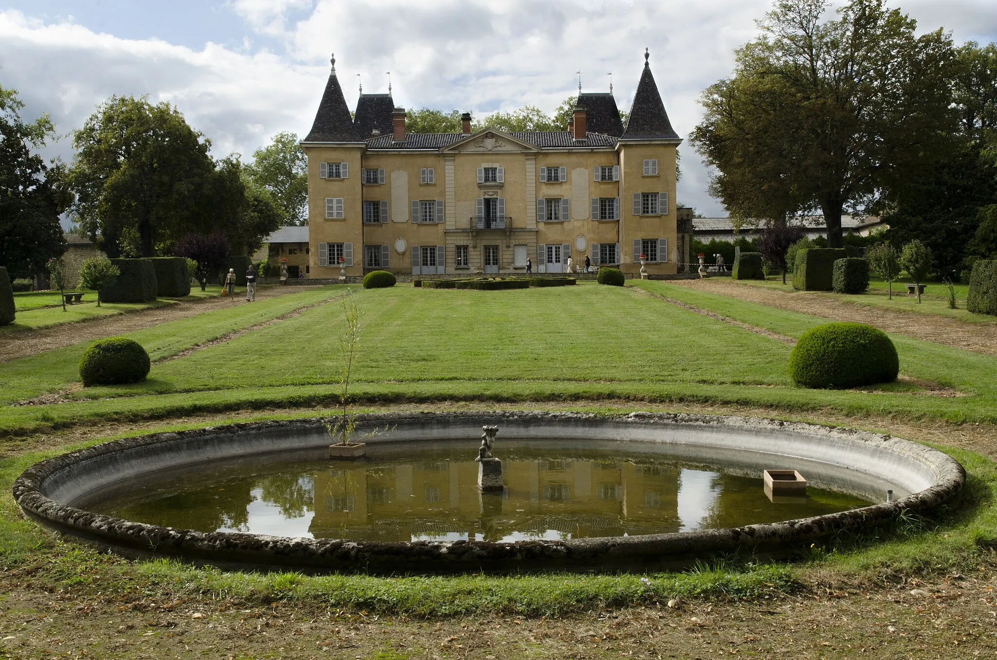
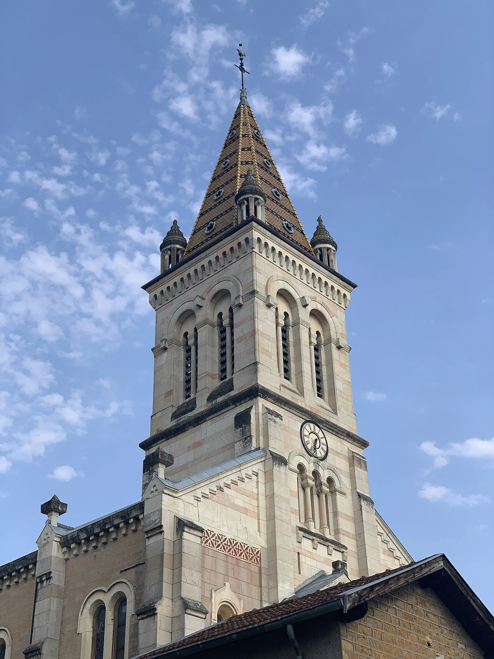
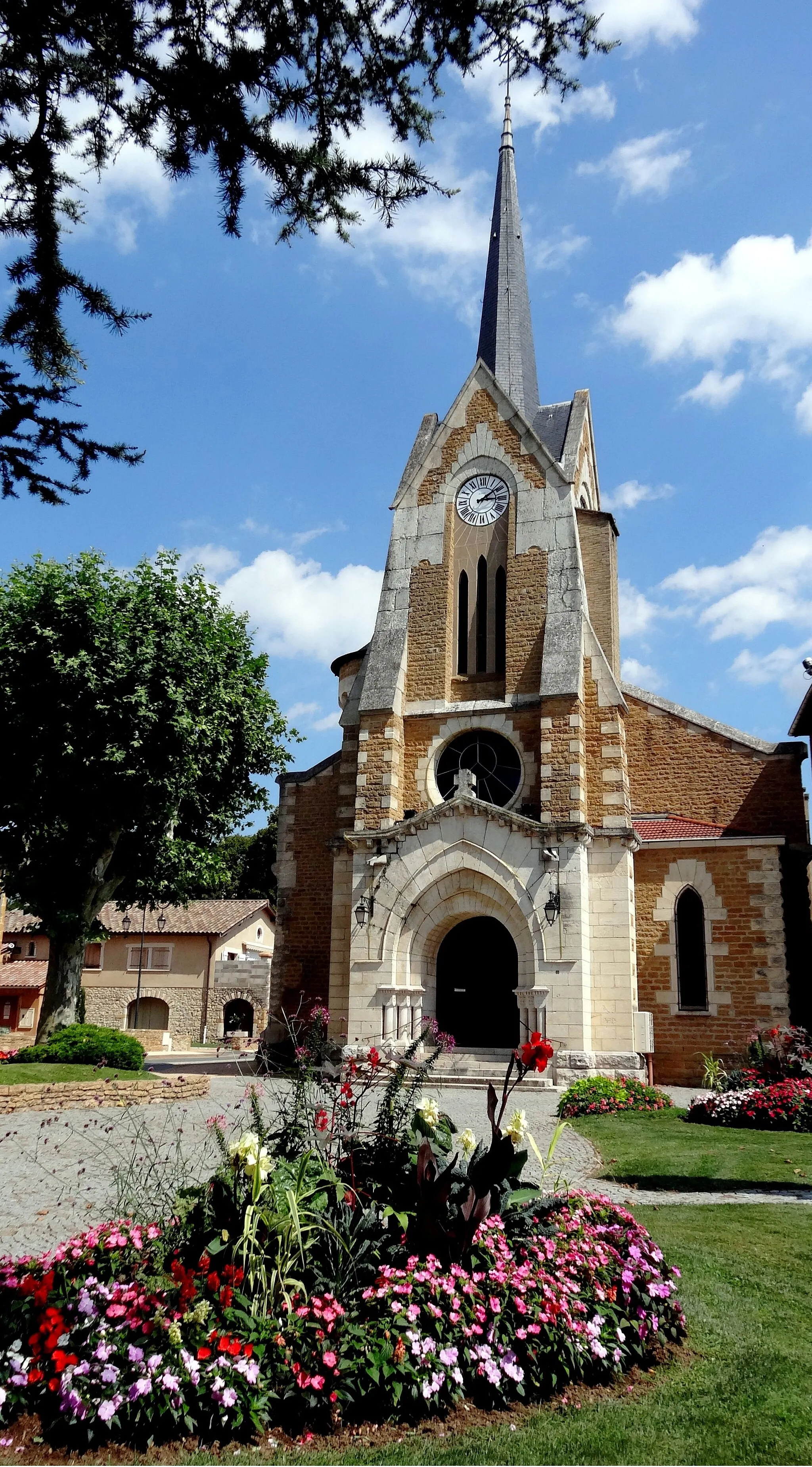
Villefranche-sur-Saône, located in the Rhône-Alpes region of France, offers picturesque road and gravel cycling routes. The locality is surrounded by vineyards and charming countryside, providing scenic views throughout the ride. Cyclists can tackle the Col du Mont Brouilly climb nearby, known for its challenging gradients and vineyard vistas. Villefranche-sur-Saône itself is a tourist hub, with its medieval streets and the historic Rue des Maronniers. With its stunning landscapes and access to renowned climbs, Villefranche-sur-Saône receives a rank of 4.
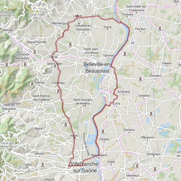
Embark on a gravel adventure through the countryside
This gravel route takes you on an off-road adventure through the beautiful French countryside. It has a total ascent of 367 meters over a distance of 61 kilometers. The route starts in Villefranche-sur-Saône and passes through Charentay, Lancié, Guéreins, and Villefranche-sur-Saône.
Take on the ultimate road challenge near Villefranche-sur-Saône.
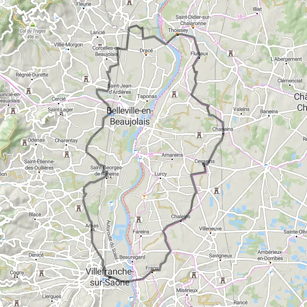
Embark on a challenging road cycling journey near Villefranche-sur-Saône, covering a distance of 98 km with a total ascent of 1691 meters. This route is designed for well-trained amateur cyclists looking for a thrilling challenge. Along the way, you'll pass through scenic landscapes and picturesque towns, offering a truly enriching experience. Don't miss the highlights, which add cultural and natural charm to your journey.
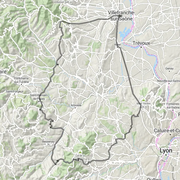
Villages and Bridges
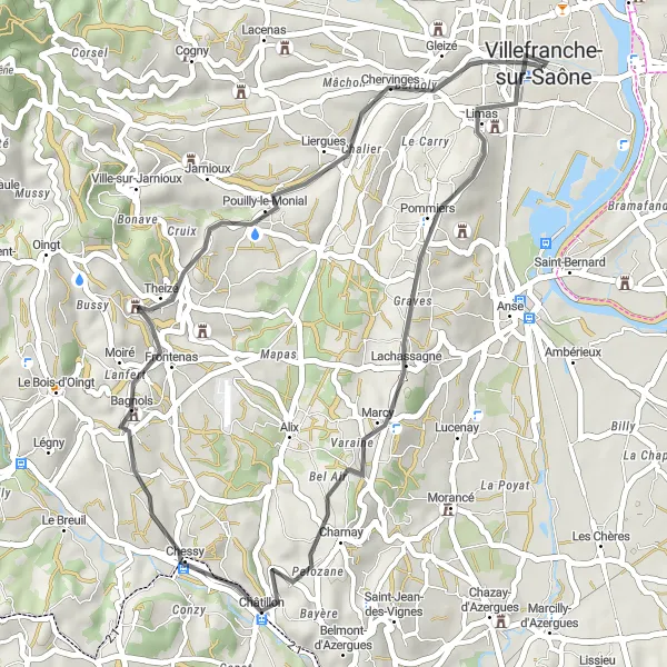
Explore charming villages and cross scenic bridges on this route
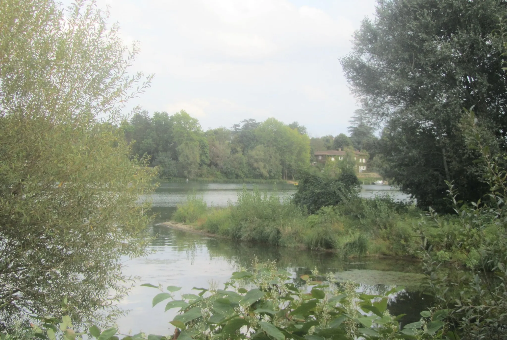
This route takes you through picturesque villages and across beautiful bridges. It has a total ascent of 1080 meters over a distance of 84 kilometers. The route starts in Villefranche-sur-Saône and passes through Jassans-Riottier, Reyrieux, Caluire-et-Cuire, Le Belvédère et les lanternes de l'île Barbe, Col de la Croix du Ban, Saint-Pierre-la-Palud, Bagnols, Les Carrières, and Gleizé.
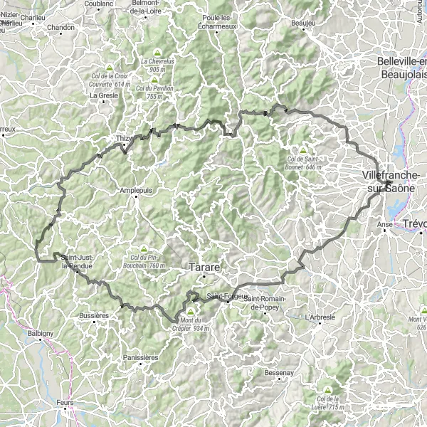
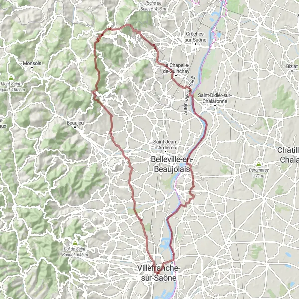
Embark on a thrilling cycling journey through Monts du Beaujolais.
This round-trip cycling route near Villefranche-sur-Saône takes you on an unforgettable adventure through the beautiful Monts du Beaujolais region. With a total distance of 147km and 2810m of ascent, this route offers a challenging ride through picturesque landscapes, charming villages, and lush vineyards. The Monts du Beaujolais is known for its exquisite wines, making this route an ideal choice for wine enthusiasts. Don't forget to take a break and indulge in some wine tasting along the way! The route is suitable for experienced cyclists and offers plenty of opportunities to test your endurance and skills.
The Beauty of Beaujolais
Discover the beauty of Beaujolais near Villefranche-sur-Saône.
Explore the enchanting region of Beaujolais with this captivating 67 km road cycling route near Villefranche-sur-Saône. With a moderate ascent of 328 meters, this route offers stunning views of the rolling hills and vineyards of Beaujolais. Be sure to visit the highlights along the way, which showcase the unique charm and cultural heritage of the region.
Enjoy a short scenic ride with stunning views of the surrounding countryside
This short route offers stunning views of the countryside and a challenging climb. It has a total ascent of 567 meters over a distance of 38 kilometers. The route starts in Villefranche-sur-Saône and passes through Villefranche-sur-Saône, Notre-Dame-de-Buissante, Charnay, Les Carrières, and Gleizé.
Vineyards and Villages
Explore scenic vineyards and charming villages on this gravel route
This gravel route takes you through picturesque vineyards and charming villages. It has a total ascent of 256 meters over a distance of 64 kilometers. The route starts in Villefranche-sur-Saône and passes through Montmerle-sur-Saône, Saint-Didier-sur-Chalaronne, Saint-Étienne-sur-Chalaronne, Maison forte de Villon, and Villefranche-sur-Saône.
Take a scenic detour near Villefranche-sur-Saône.
Explore the beauty of the region with this short but scenic 27 km gravel route near Villefranche-sur-Saône. With a modest ascent of 261 meters, this route offers a perfect opportunity to enjoy the picturesque countryside and charming villages. Don't miss the highlights on the way, which add a touch of excitement to your ride.
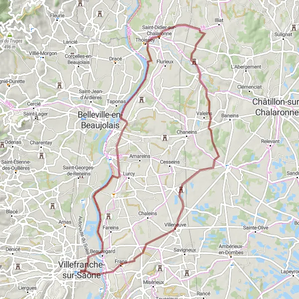
Get ready for an epic gravel adventure near Villefranche-sur-Saône.
Embark on a thrilling gravel adventure near Villefranche-sur-Saône, covering a distance of 87 km and ascending 1142 meters. This route takes you through picturesque towns and beautiful landscapes, offering a unique and challenging cycling experience. With plenty of highlights along the way, this route guarantees excitement and adventure. Don't miss the opportunity to explore the scenic routes and enjoy the gravel riding at its best.
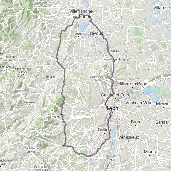
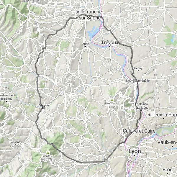
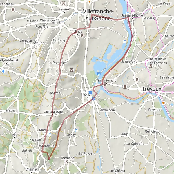
Climb through beautiful hills along the Saône River
This route takes you through the scenic hills alongside the Saône River. It offers a challenging climb with a total ascent of 1169 meters over a distance of 104 kilometers. The route starts in Villefranche-sur-Saône and passes through Jassans-Riottier, Massieux, Belvédère de la madone, Lyon, Esplanade, Soucieu-en-Jarrest, Lentilly, Alix, and Notre-Dame-de-Buissante.
Cycling routes nearby:
Nearby regions: