Vineyards and Villages
A gravel cycling route starting from Villefranche-sur-Saone
Explore scenic vineyards and charming villages on this gravel route
Map
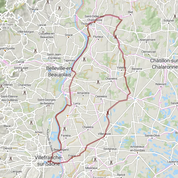
This gravel route takes you through picturesque vineyards and charming villages. It has a total ascent of 256 meters over a distance of 64 kilometers. The route starts in Villefranche-sur-Saône and passes through Montmerle-sur-Saône, Saint-Didier-sur-Chalaronne, Saint-Étienne-sur-Chalaronne, Maison forte de Villon, and Villefranche-sur-Saône.
gravel
64 km
256 m
Chill
Route profile
Highlights on the route
0 km
0 km
Start: Villefranche-sur-Saône City centerVillefranche-sur-Saône: Villefranche-sur-Saône, the gateway to challenging Col du Mont Brouilly climb.
Villefranche-sur-Saône, located in the Rhône-Alpes region of France, offers picturesque road and gravel cycling routes. The locality is surrounded by vineyards and charming countryside, providing scenic views throughout the ride. Cyclists can tackle the Col du Mont Brouilly climb nearby, known for its challenging gradients and vineyard vistas. Villefranche-sur-Saône itself is a tourist hub, with its medieval streets and the historic Rue des Maronniers. With its stunning landscapes and access to renowned climbs, Villefranche-sur-Saône receives a rank of 4.14 km
14 km
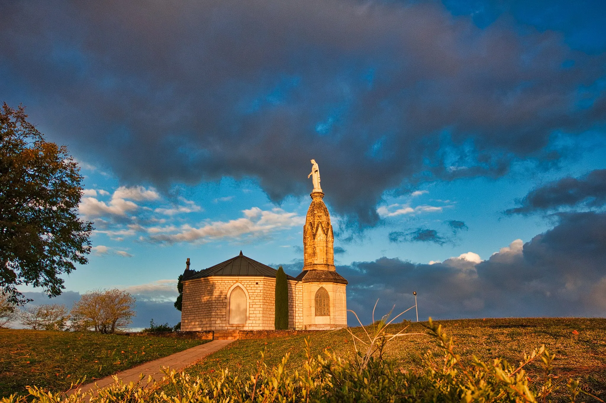
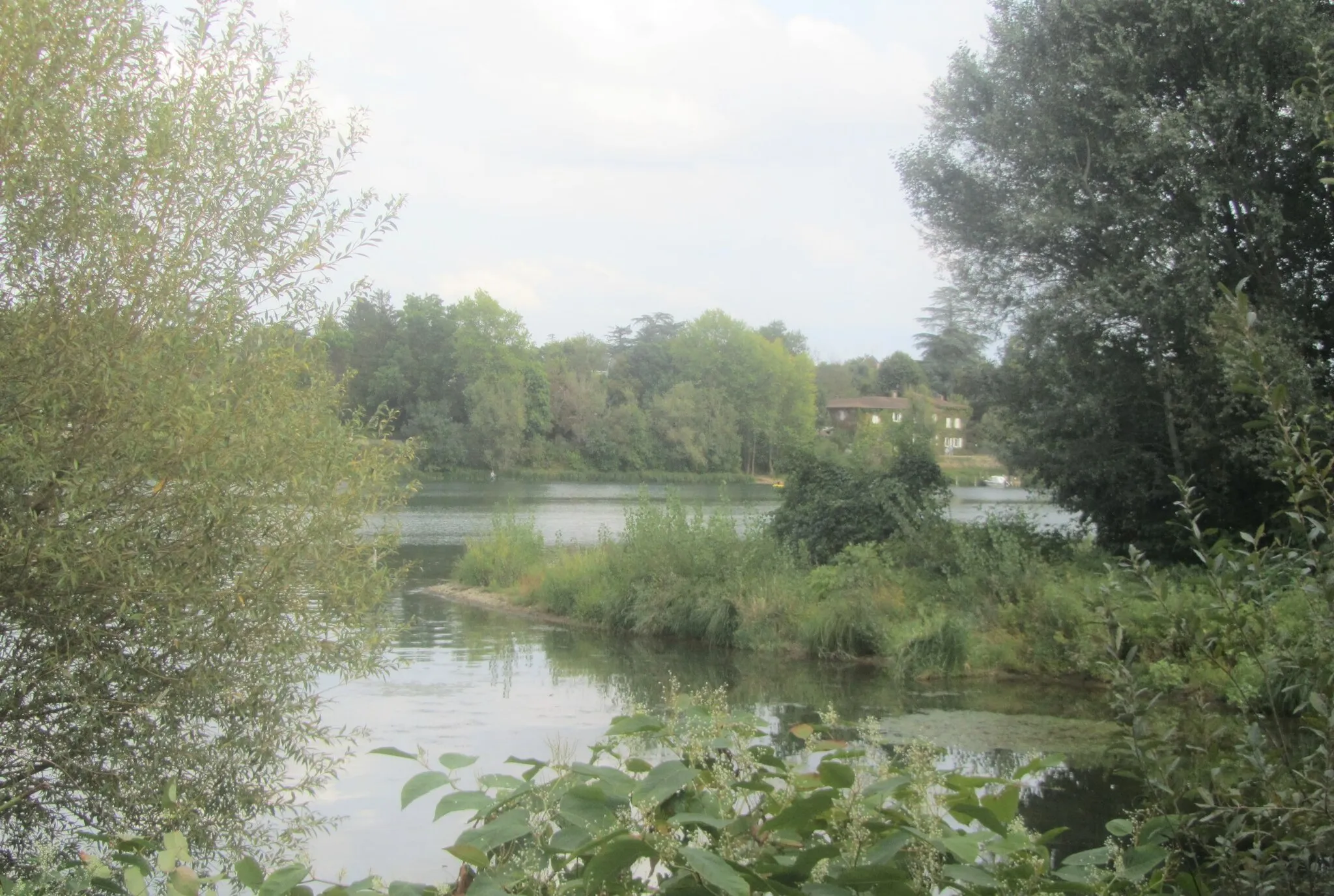
Montmerle-sur-SaôneVillageMontmerle-sur-Saône is a charming village located on the banks of the Saône River and known for its beautiful flower displays.
27 km
27 km
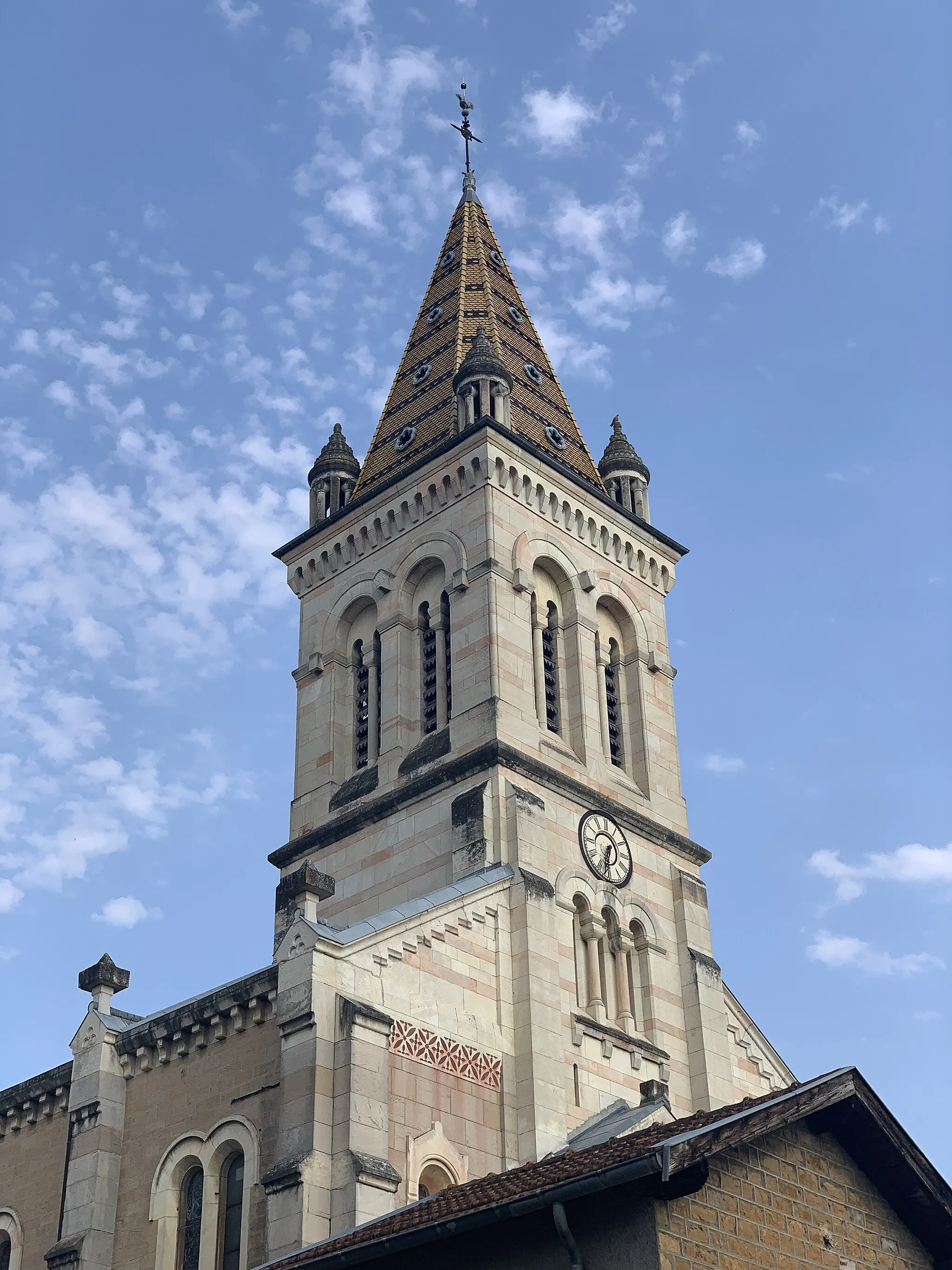
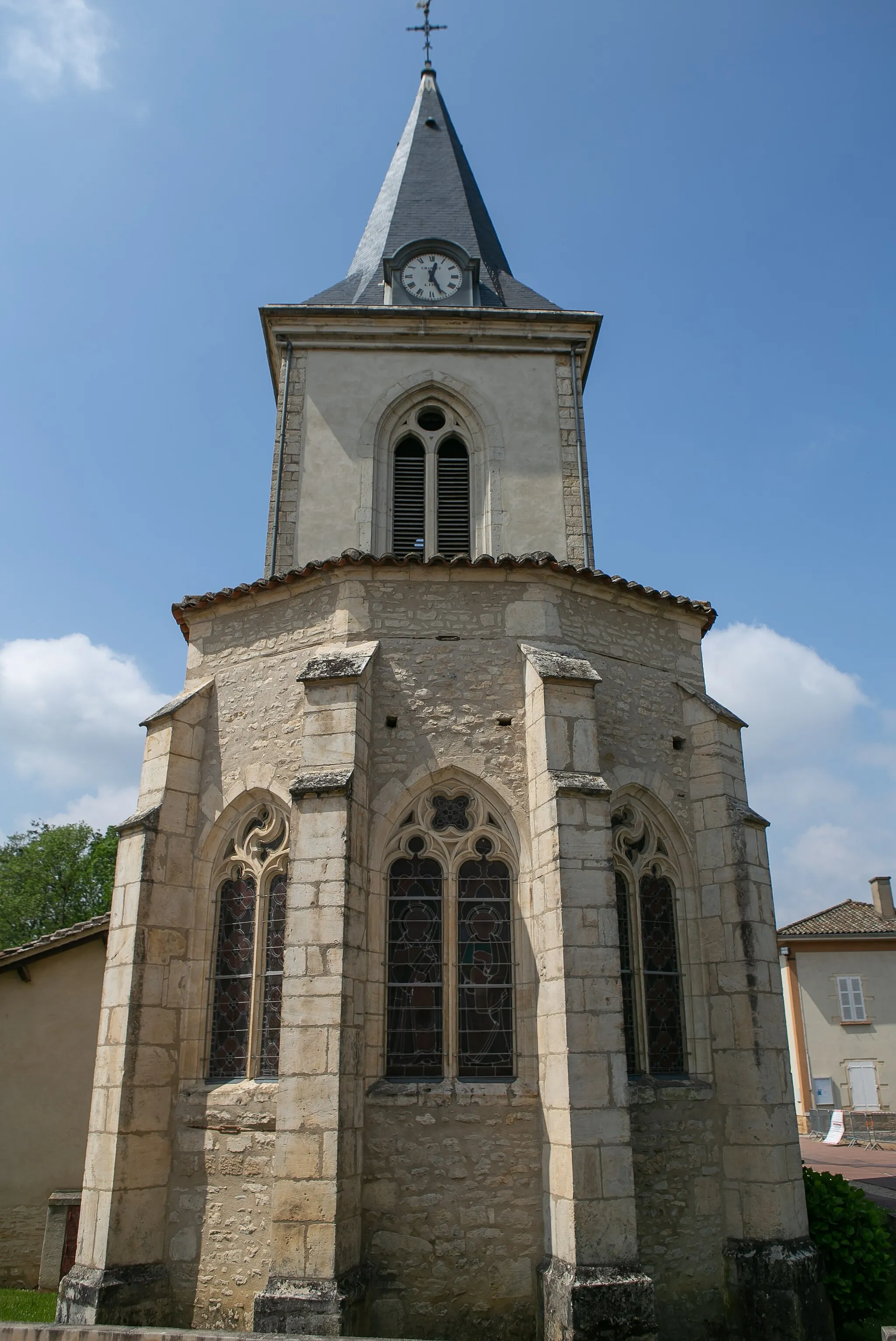
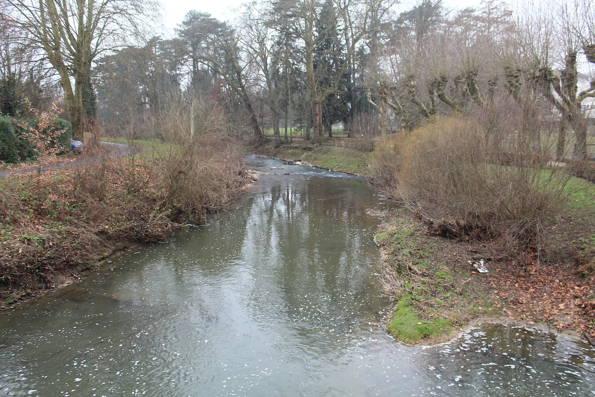
Saint-Didier-sur-ChalaronneVillageSaint-Didier-sur-Chalaronne is a historic village with narrow cobblestone streets and well-preserved medieval buildings.
36 km
36 km
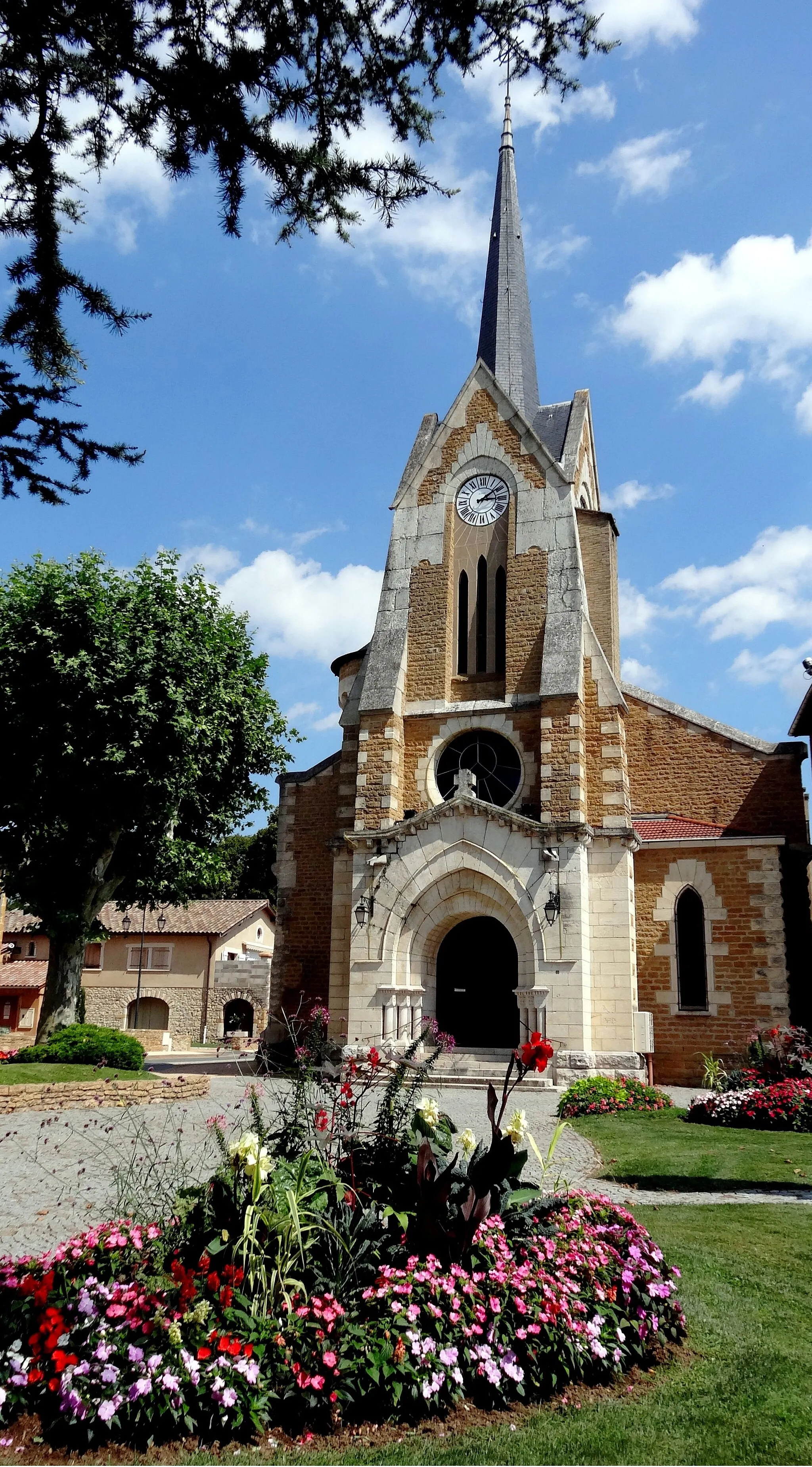
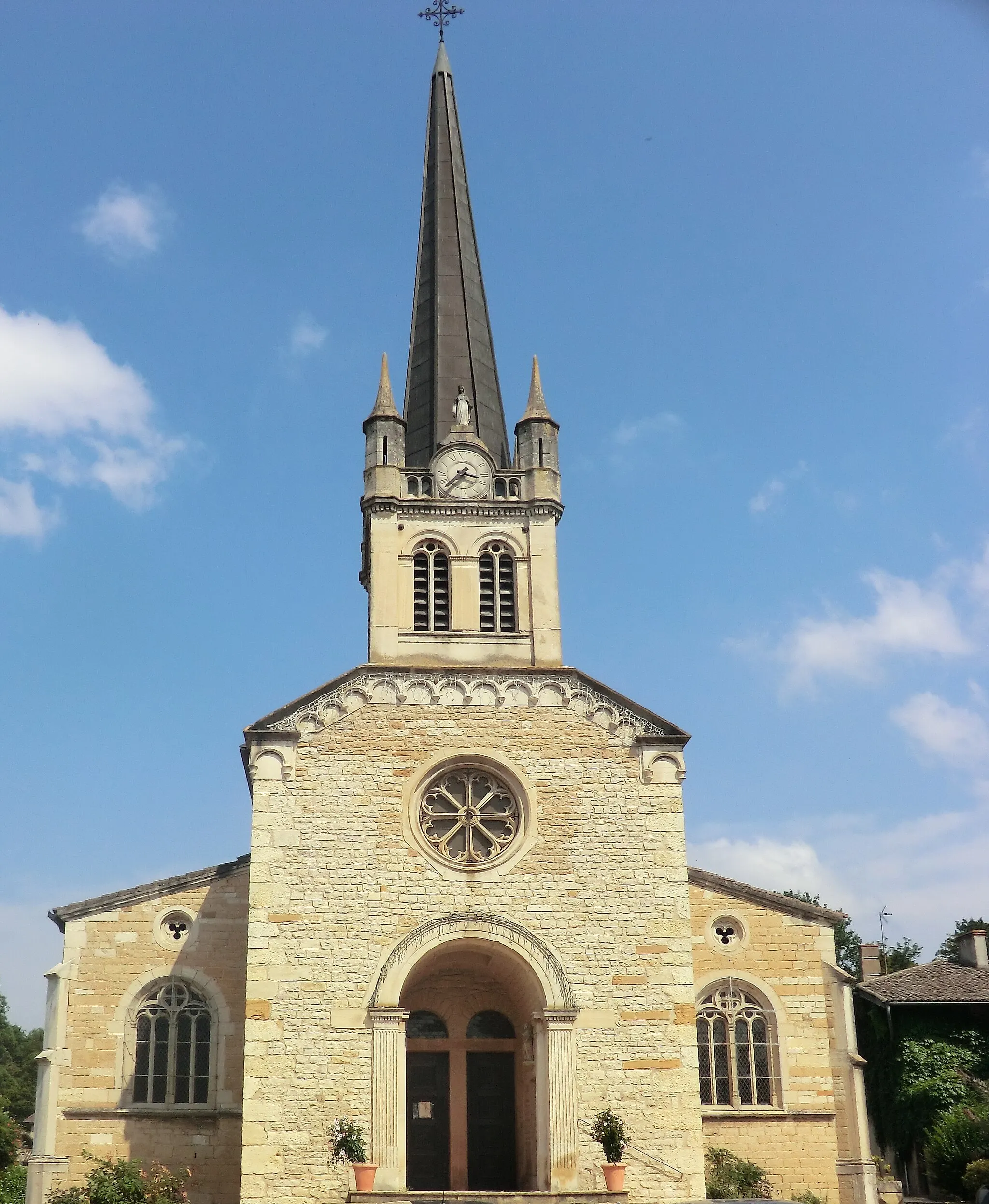
Saint-Étienne-sur-ChalaronneVillageSaint-Étienne-sur-Chalaronne is a picturesque village with traditional half-timbered houses and a vibrant central square.
50 km
50 km
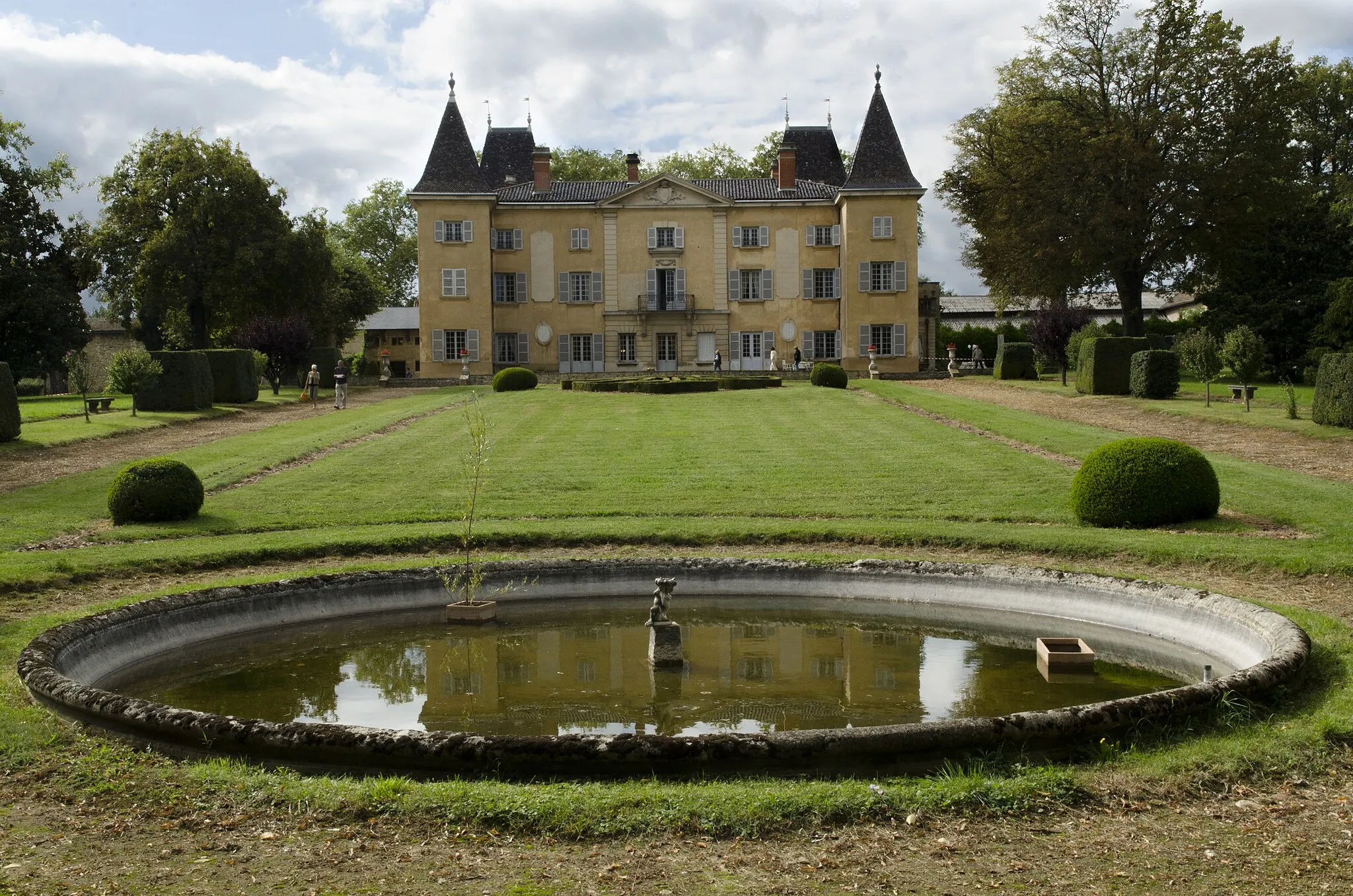
Maison forte de VillonCastleMaison forte de Villon is a medieval fortress that offers guided tours and stunning views of the surrounding countryside.
64 km
64 km
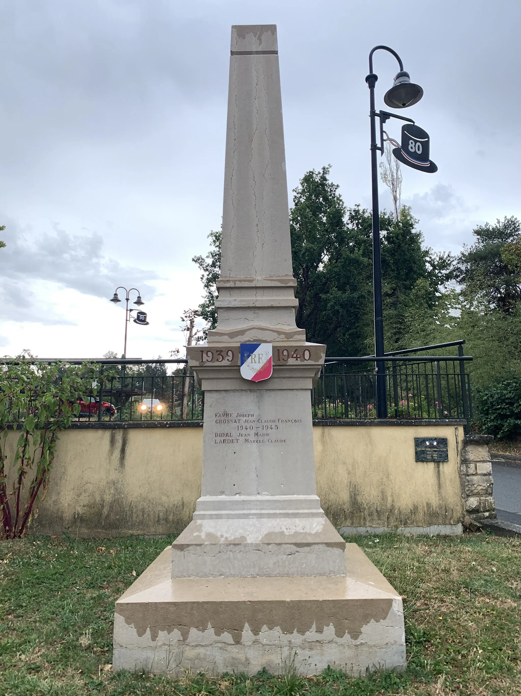
Villefranche-sur-SaôneTownVillefranche-sur-Saône is a historic town with a lively market and a rich architectural heritage.
64 km
64 km
Finish: Villefranche-sur-Saône City centerVillefranche-sur-Saône: Villefranche-sur-Saône, the gateway to challenging Col du Mont Brouilly climb.
Cycling routes nearby: