Villages and Bridges
A road cycling route starting from Villefranche-sur-Saone
Explore charming villages and cross scenic bridges on this route
Map
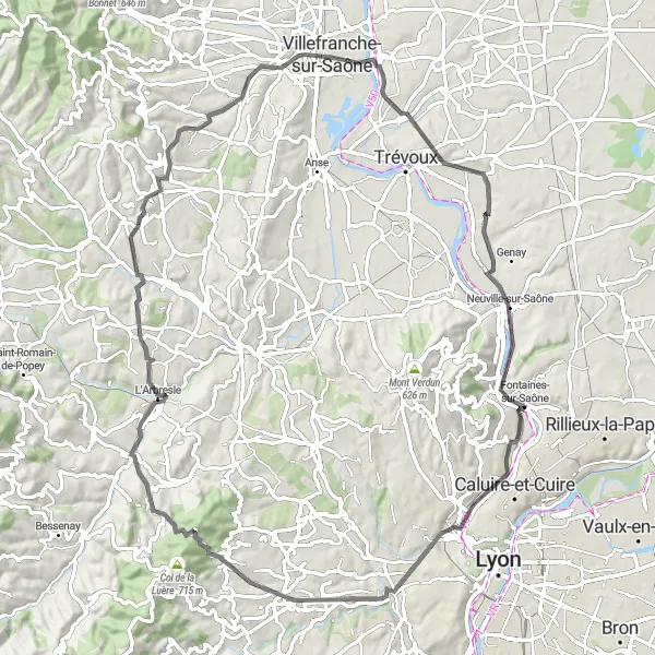
This route takes you through picturesque villages and across beautiful bridges. It has a total ascent of 1080 meters over a distance of 84 kilometers. The route starts in Villefranche-sur-Saône and passes through Jassans-Riottier, Reyrieux, Caluire-et-Cuire, Le Belvédère et les lanternes de l'île Barbe, Col de la Croix du Ban, Saint-Pierre-la-Palud, Bagnols, Les Carrières, and Gleizé.
road
84 km
1080 m
Tough
Route profile
Highlights on the route
0 km
0 km
Start: Villefranche-sur-Saône City centerVillefranche-sur-Saône: Villefranche-sur-Saône, the gateway to challenging Col du Mont Brouilly climb.
Villefranche-sur-Saône, located in the Rhône-Alpes region of France, offers picturesque road and gravel cycling routes. The locality is surrounded by vineyards and charming countryside, providing scenic views throughout the ride. Cyclists can tackle the Col du Mont Brouilly climb nearby, known for its challenging gradients and vineyard vistas. Villefranche-sur-Saône itself is a tourist hub, with its medieval streets and the historic Rue des Maronniers. With its stunning landscapes and access to renowned climbs, Villefranche-sur-Saône receives a rank of 4.2 km
2 km
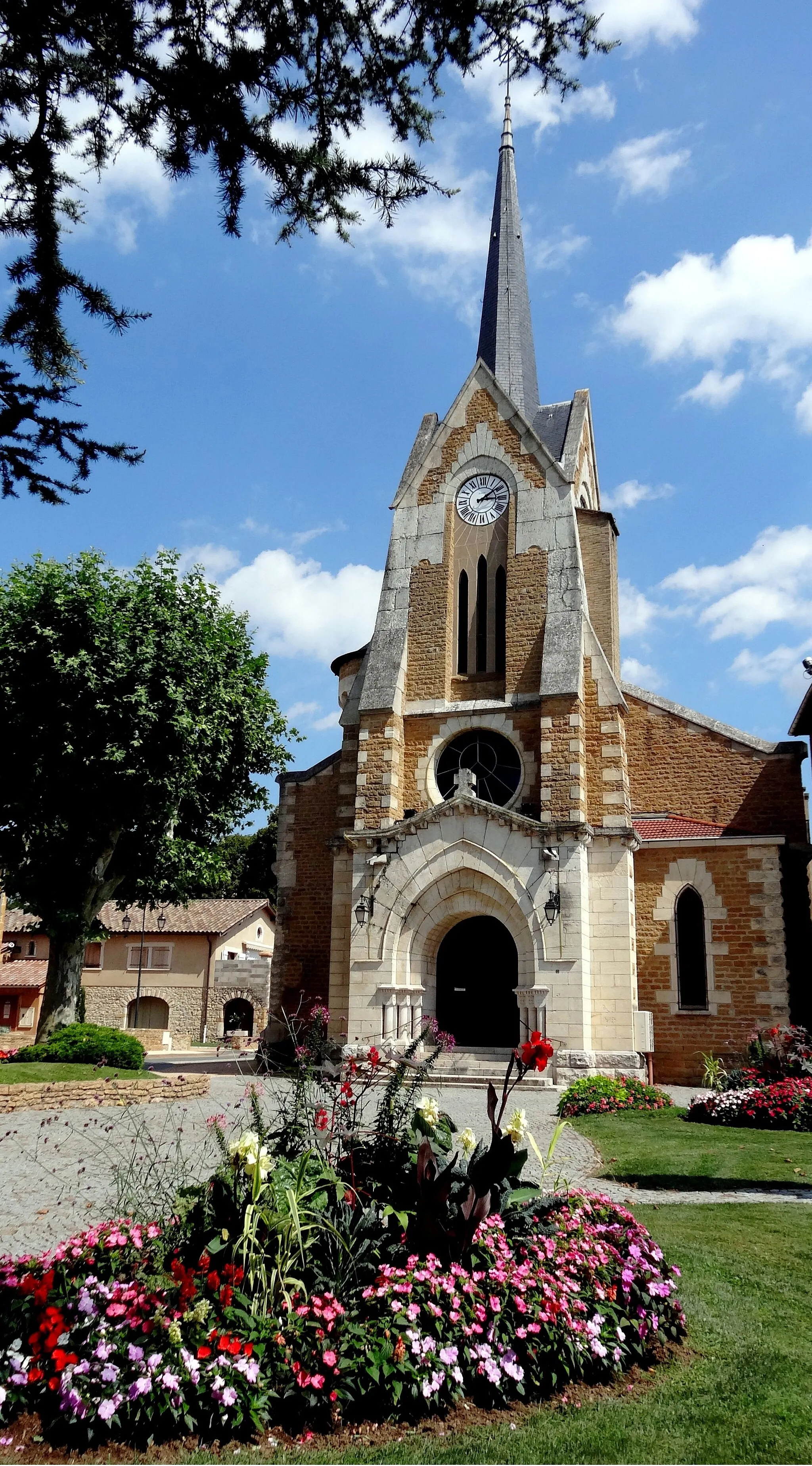
Jassans-RiottierVillageJassans-Riottier is a charming little town with historic buildings and quaint streets.
11 km
11 km
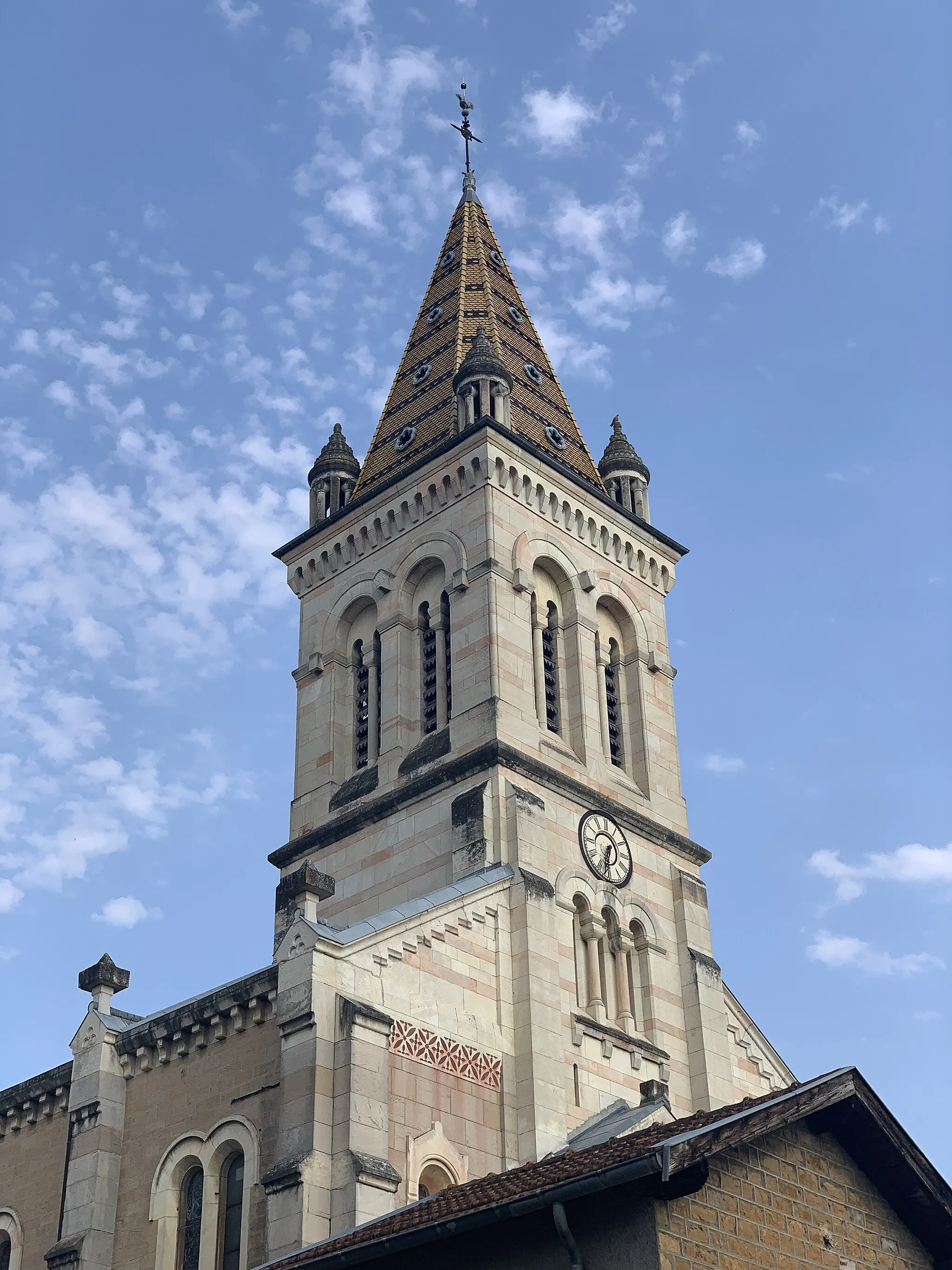
ReyrieuxVillageReyrieux is a small village with beautiful stone houses and a peaceful atmosphere.
28 km
28 km
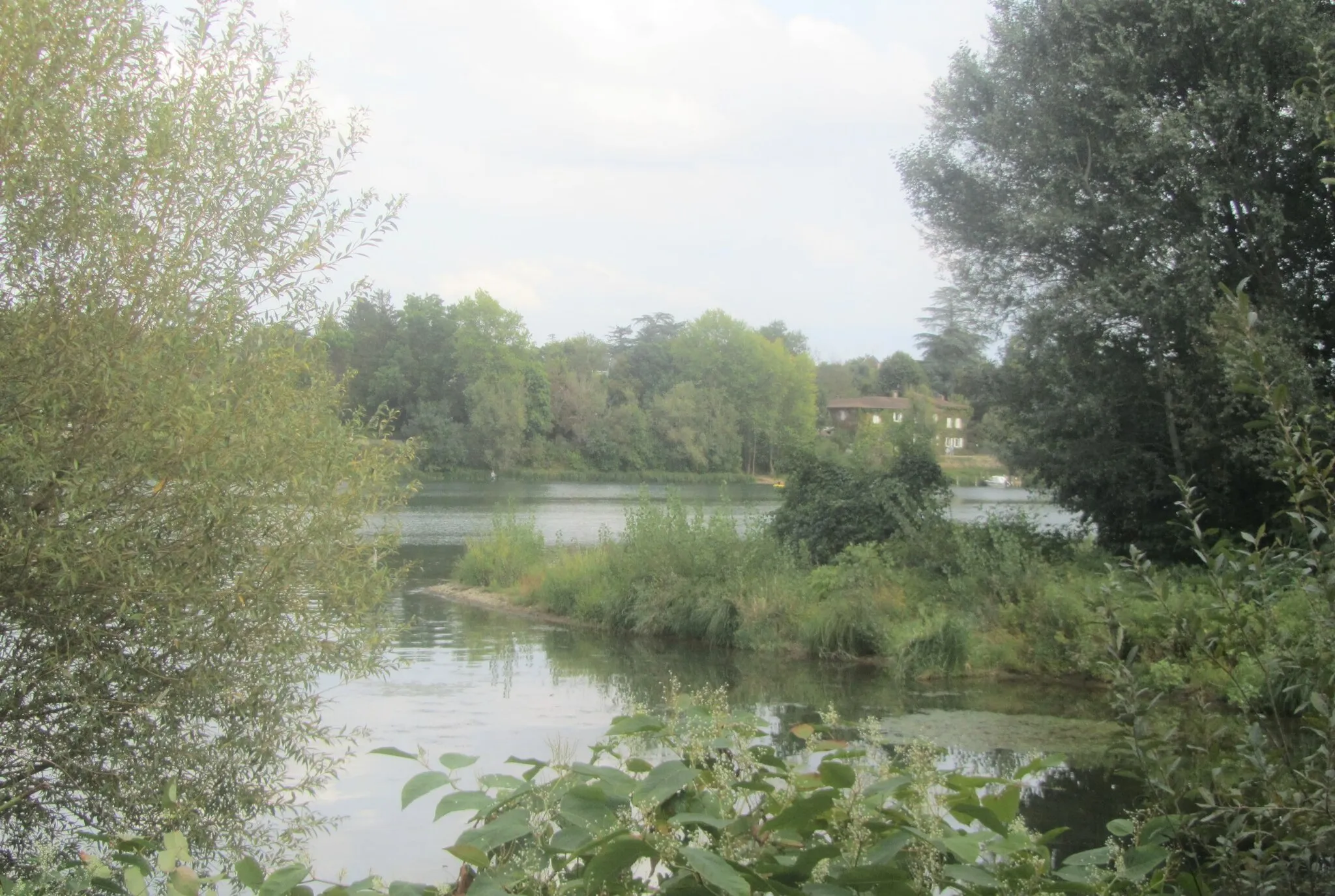
Caluire-et-CuireTownCaluire-et-Cuire is a suburban town with modern residential areas and a pleasant waterfront.
29 km
29 km
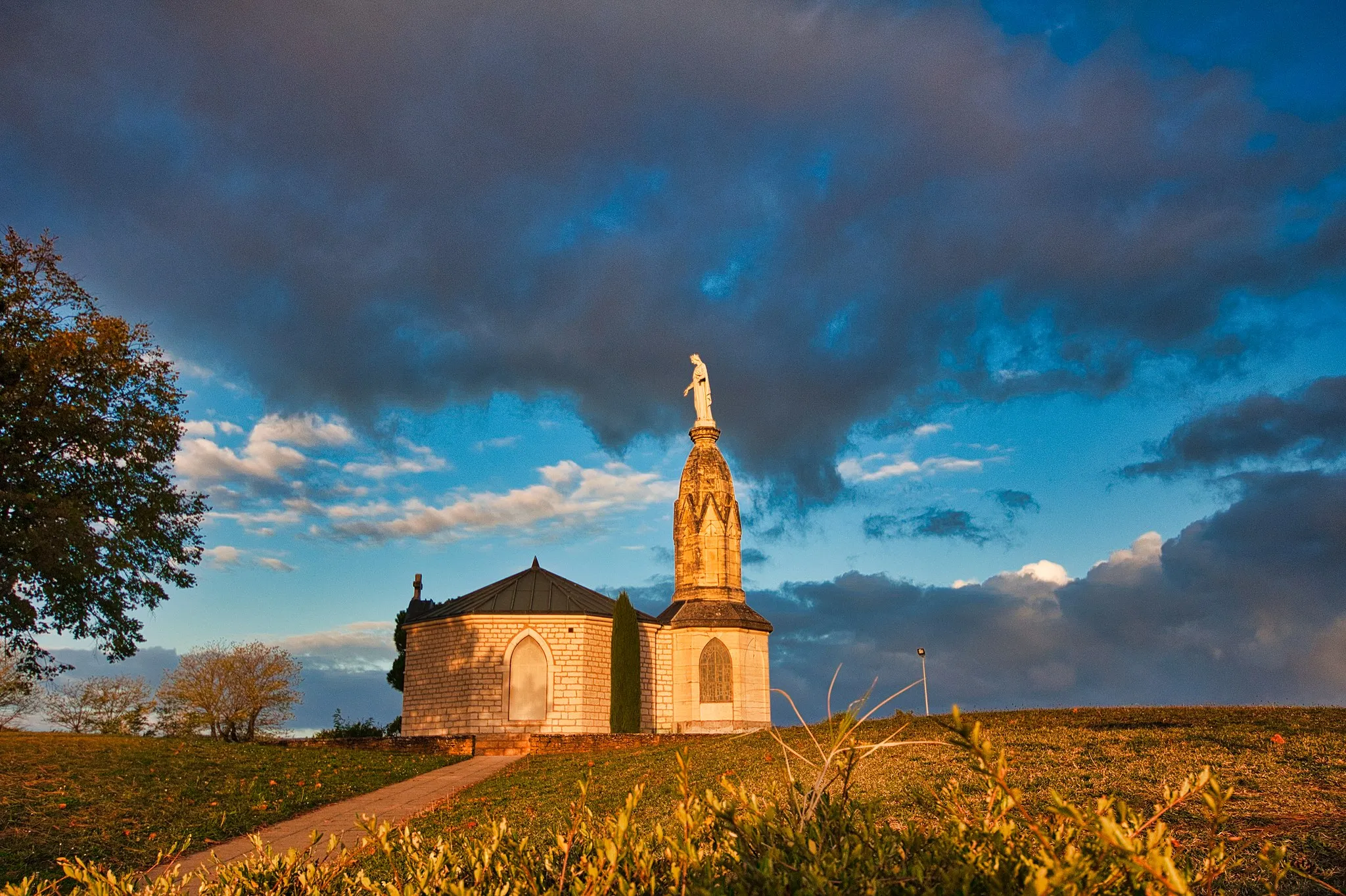
Le Belvédère et les lanternes de l'île BarbeViewpointThe Le Belvédère et les lanternes de l'île Barbe provides stunning panoramic views of Lyon and the Saône River.
49 km
49 km
Col de la Croix du Ban604 mMountain PassCol de la Croix du Ban is a challenging climb with breathtaking views of the surrounding countryside.
52 km
52 km
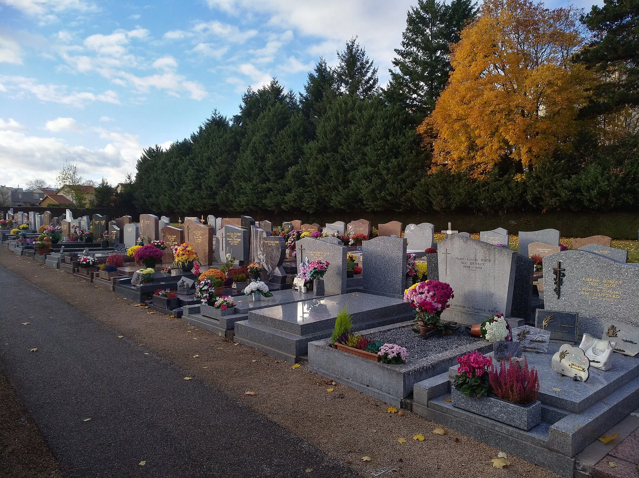
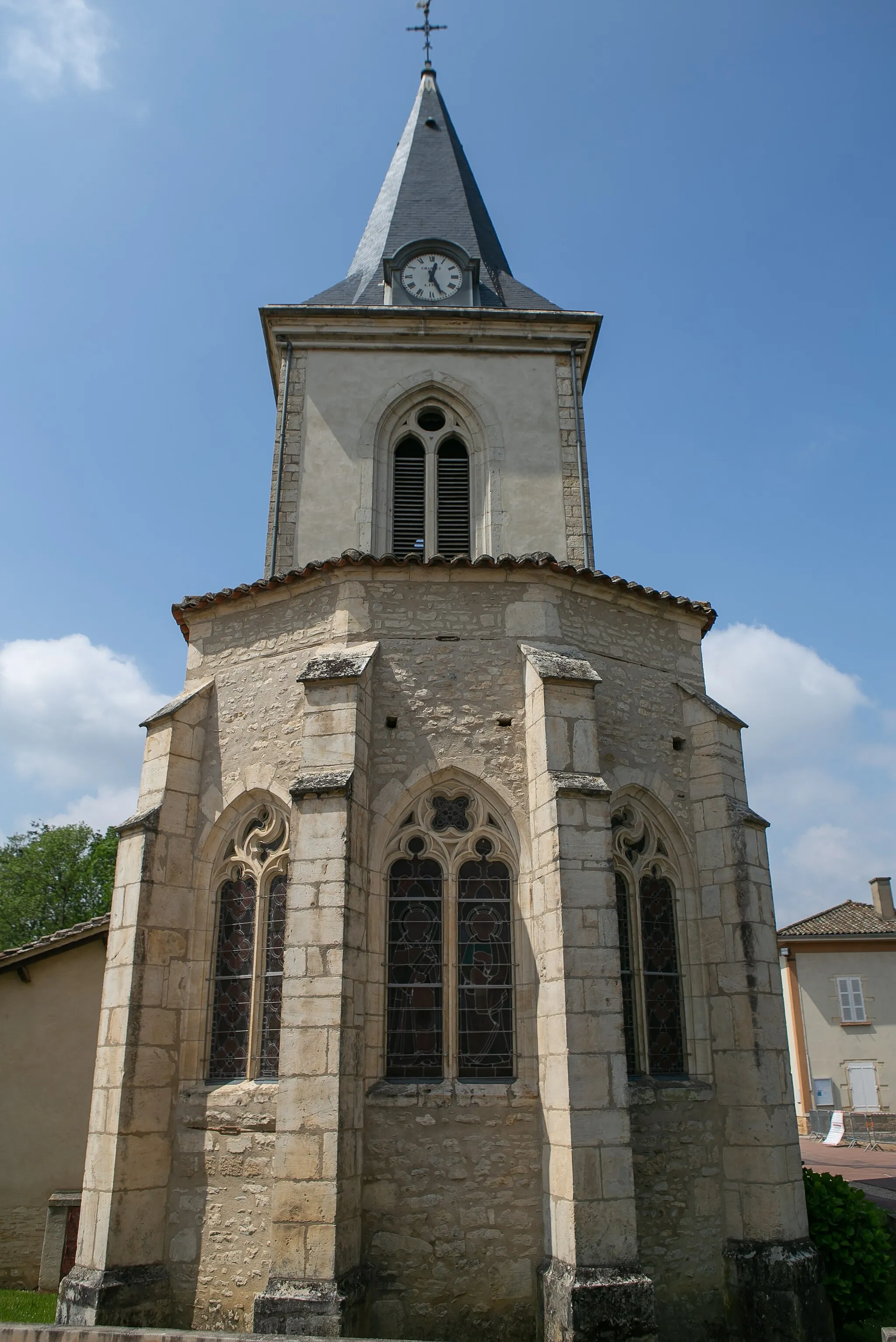
Saint-Pierre-la-PaludVillageSaint-Pierre-la-Palud is a quaint village known for its medieval architecture and charming streets.
69 km
69 km
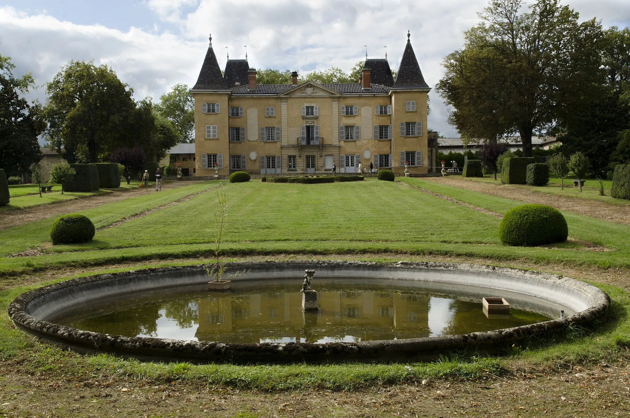
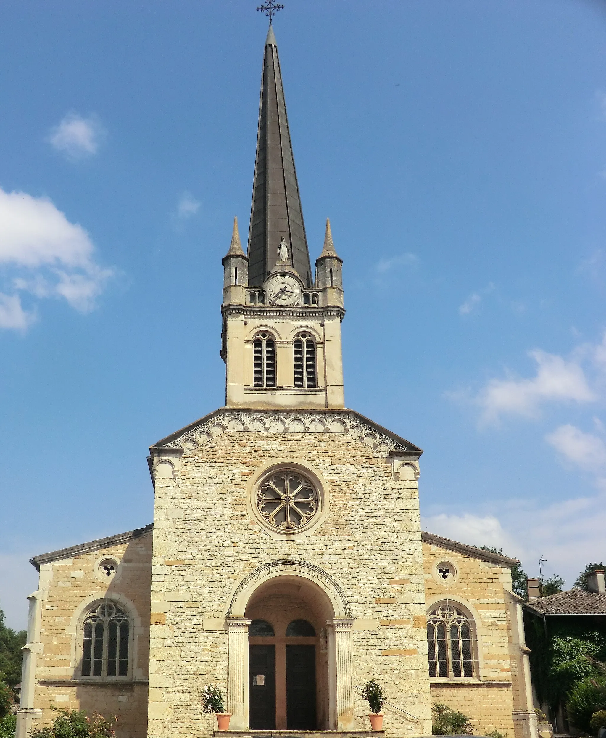
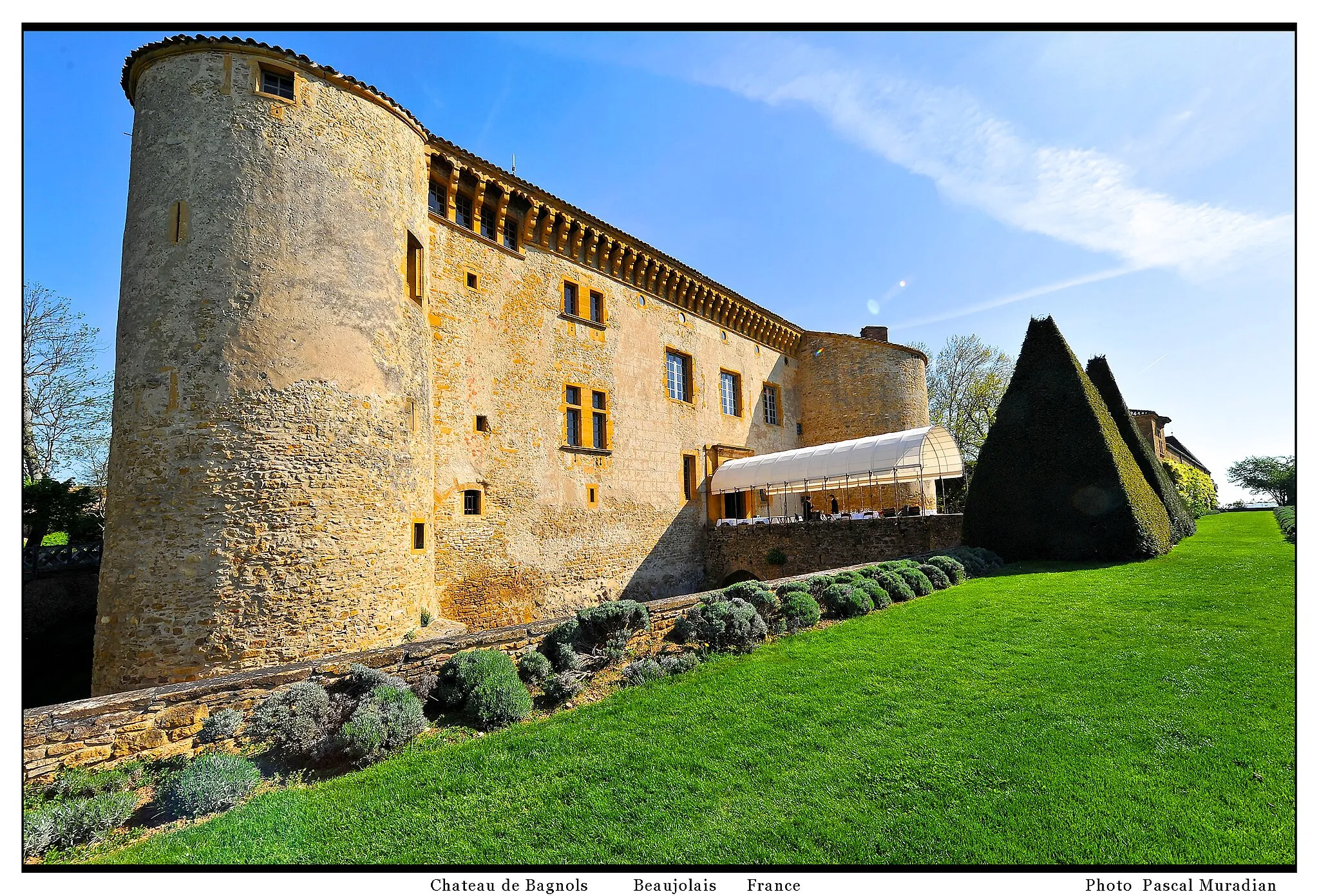
BagnolsVillageBagnols is a small village with traditional stone houses and narrow streets.
70 km
70 km
Les CarrièresViewpointLes Carrières is an abandoned stone quarry that has been transformed into a beautiful park with hiking trails and picnic areas.
82 km
82 km
GleizéVillageGleizé is a small town with a beautiful historic center and stunning views of the surrounding vineyards.
84 km
84 km
Finish: Villefranche-sur-Saône City centerVillefranche-sur-Saône: Villefranche-sur-Saône, the gateway to challenging Col du Mont Brouilly climb.
Cycling routes nearby: