The Ultimate Road Challenge
A road cycling route starting from Villefranche-sur-Saone
Take on the ultimate road challenge near Villefranche-sur-Saône.
Map
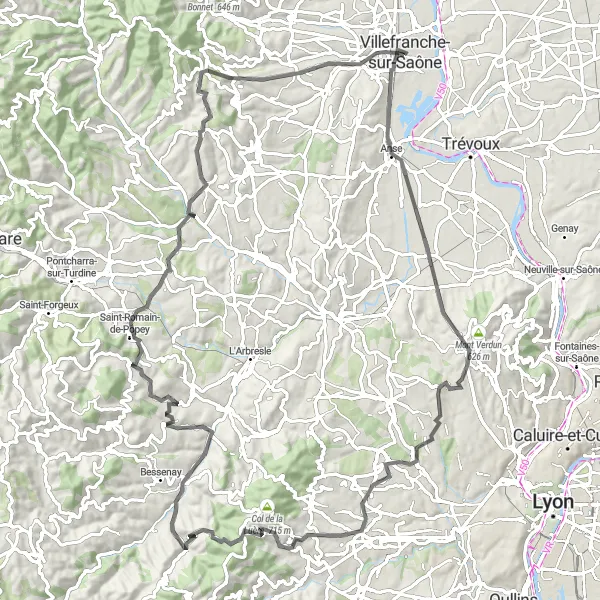
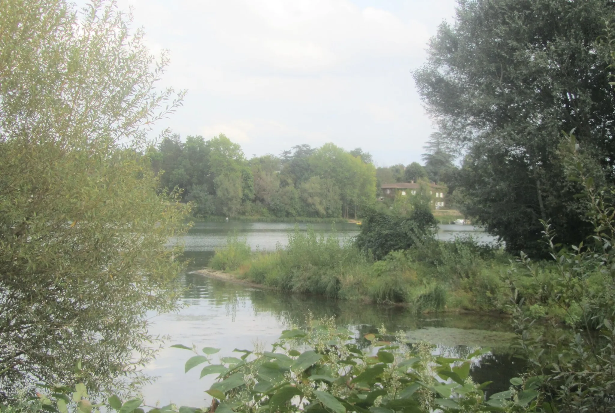
Embark on a challenging road cycling journey near Villefranche-sur-Saône, covering a distance of 98 km with a total ascent of 1691 meters. This route is designed for well-trained amateur cyclists looking for a thrilling challenge. Along the way, you'll pass through scenic landscapes and picturesque towns, offering a truly enriching experience. Don't miss the highlights, which add cultural and natural charm to your journey.
road
98 km
1691 m
Savage
Route profile
Highlights on the route
0 km
0 km
Start: Villefranche-sur-Saône City centerVillefranche-sur-Saône: Villefranche-sur-Saône, the gateway to challenging Col du Mont Brouilly climb.
Villefranche-sur-Saône, located in the Rhône-Alpes region of France, offers picturesque road and gravel cycling routes. The locality is surrounded by vineyards and charming countryside, providing scenic views throughout the ride. Cyclists can tackle the Col du Mont Brouilly climb nearby, known for its challenging gradients and vineyard vistas. Villefranche-sur-Saône itself is a tourist hub, with its medieval streets and the historic Rue des Maronniers. With its stunning landscapes and access to renowned climbs, Villefranche-sur-Saône receives a rank of 4.12 km
12 km
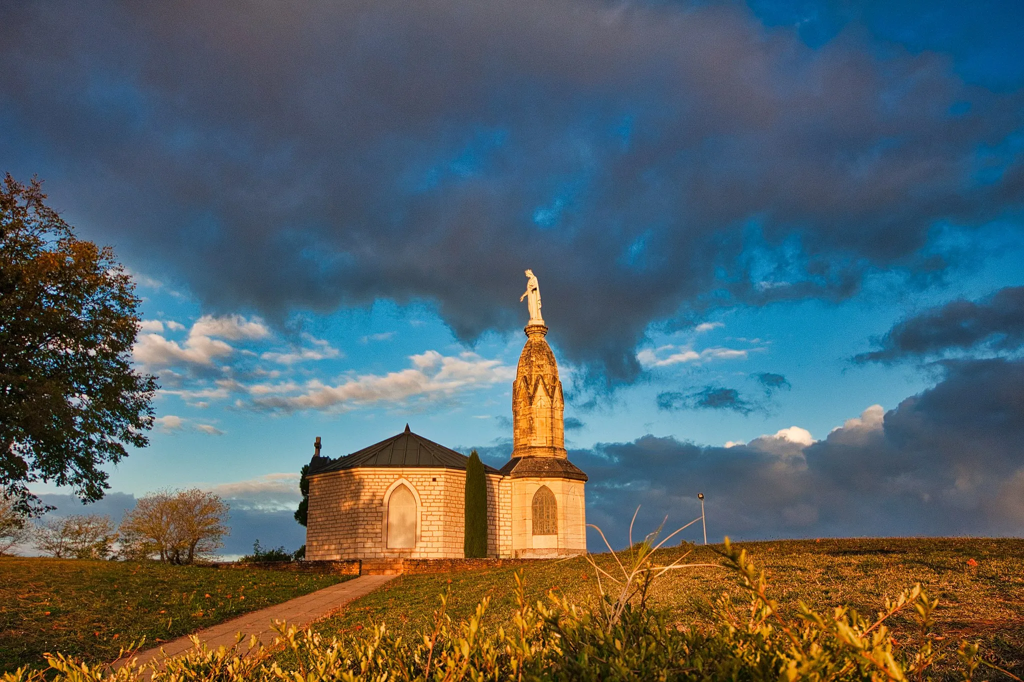
Les ChèresVillageIn Les Chères, immerse yourself in the beauty of the ancient castle and enjoy stunning views of the surrounding countryside.
24 km
24 km
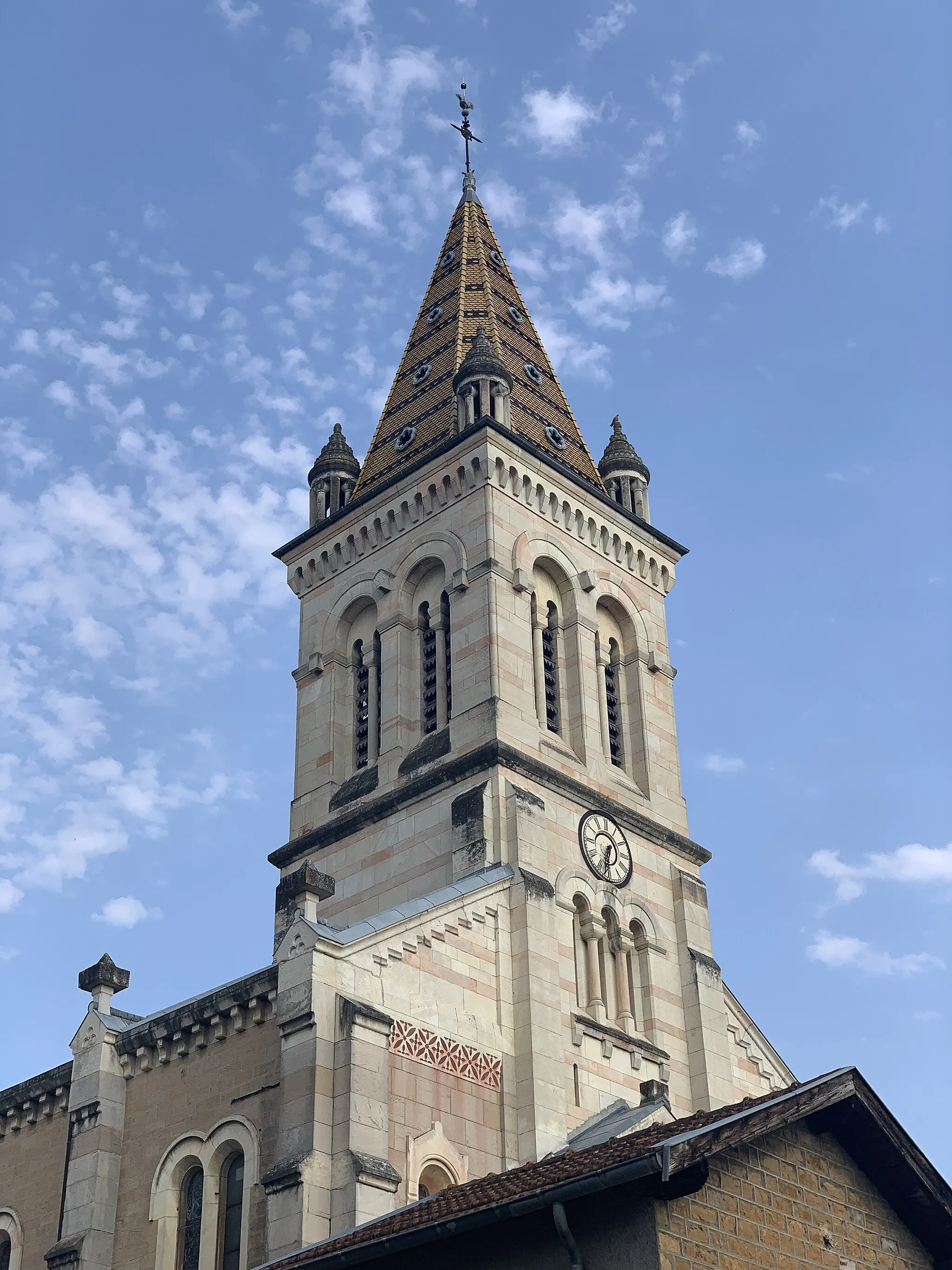
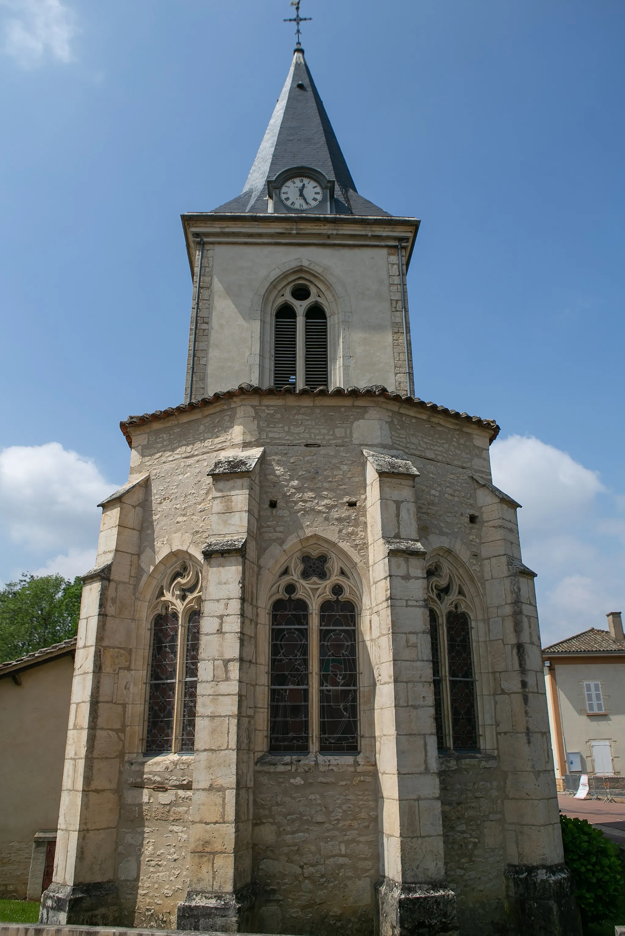
DardillyVillagePass through Dardilly and discover the lovely Église Saint-Pancrace, a 15th-century church with impressive Gothic architecture.
34 km
34 km
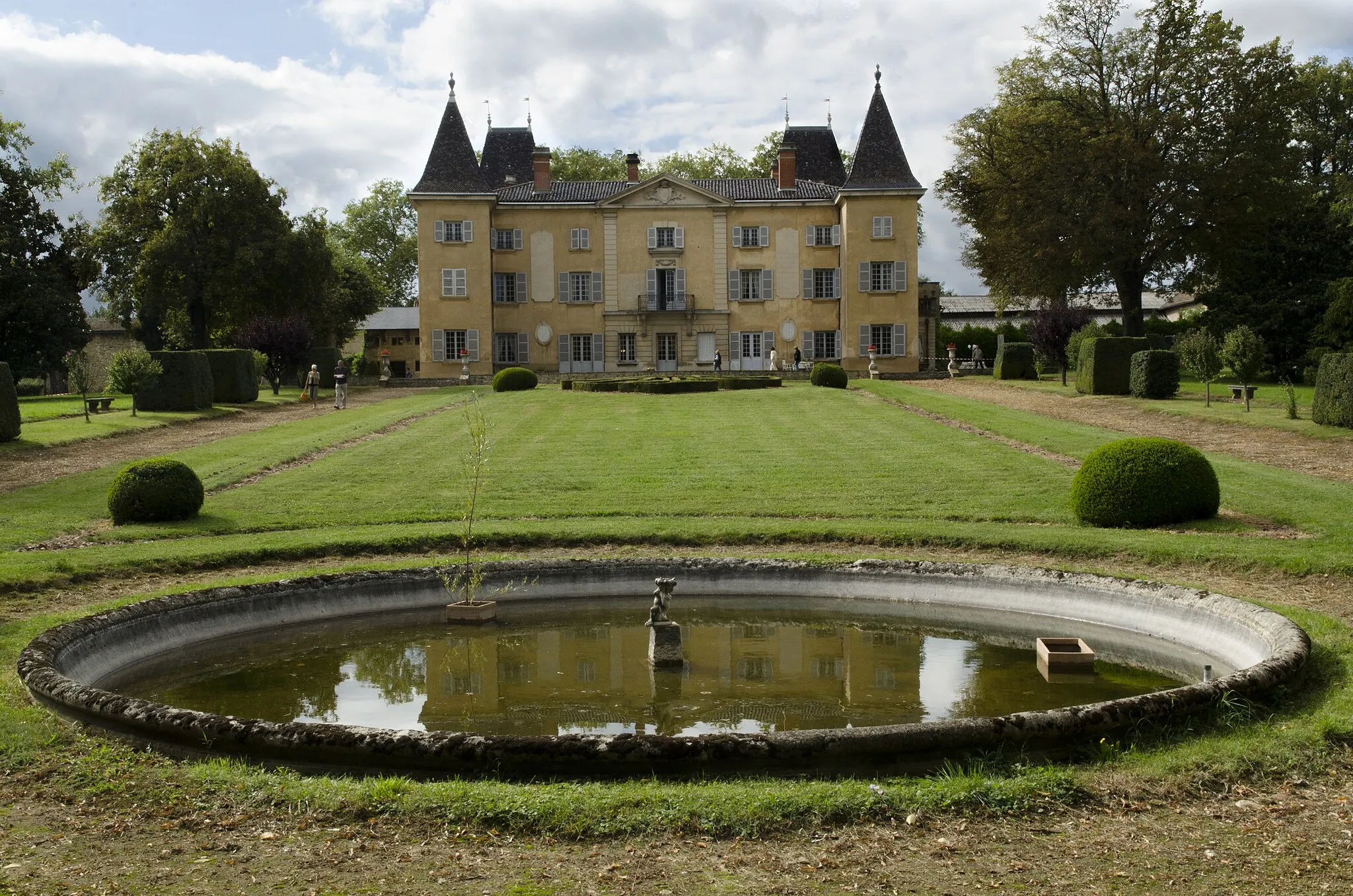
Grézieu-la-VarenneVillageGrézieu-la-Varenne offers a delightful blend of history and nature, with its ancient castle and stunning parks.
44 km
44 km
MarmottesViewpointSpot some marmottes (Alpine marmots) in their natural habitat as you cycle through the beautiful mountains.
68 km
68 km
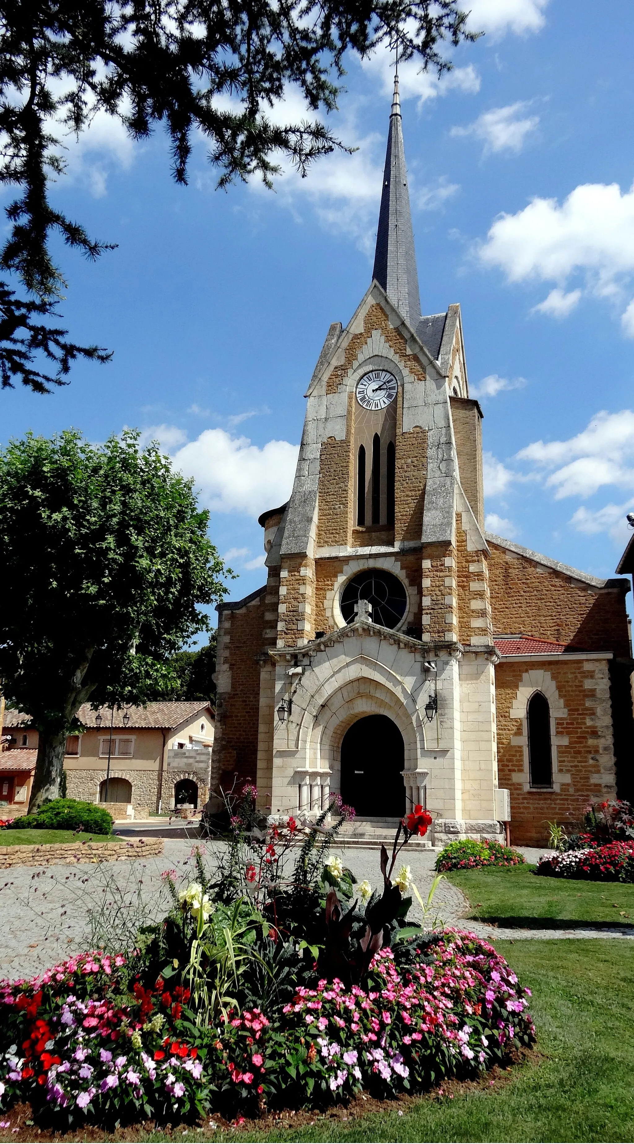
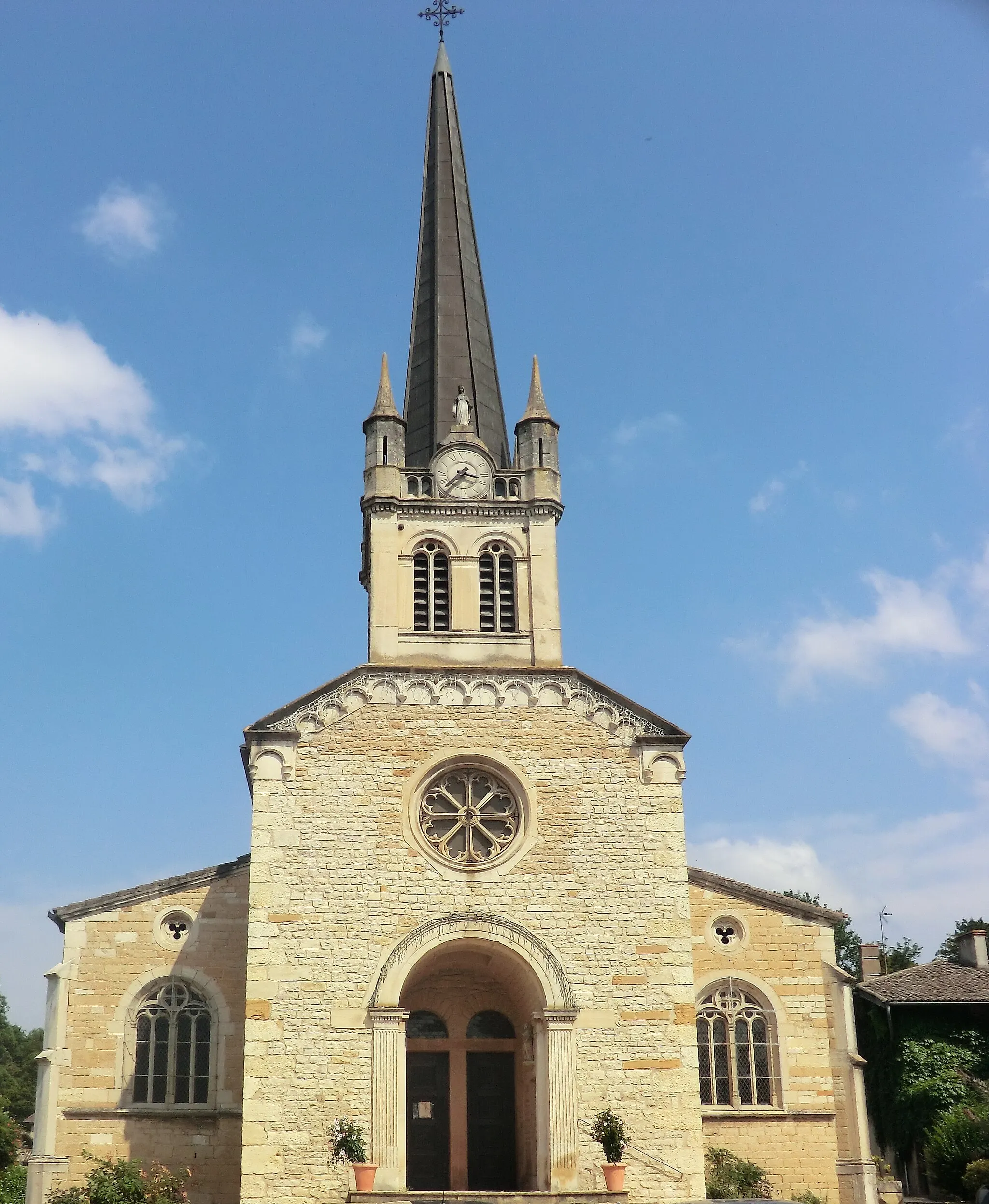
Saint-Romain-de-PopeyVillageExplore the charming town of Saint-Romain-de-Popey and admire the picturesque village square and the 12th-century church.
82 km
82 km
ChautardViewpointTake a break at Chautard, a tranquil hamlet nestled amidst nature, and enjoy a moment of serenity and tranquility.
82 km
82 km
OingtVillageDiscover the medieval charm of Oingt, a hilltop village known for its narrow streets and well-preserved half-timbered houses.
93 km
93 km
LierguesVillageComplete your journey in Liergues and discover the town's rich history, including its impressive Romanesque church.
98 km
98 km
Finish: Villefranche-sur-Saône City centerVillefranche-sur-Saône: Villefranche-sur-Saône, the gateway to challenging Col du Mont Brouilly climb.
Cycling routes nearby: