Road Route: Col du Berthiand to Col de la Cueille
A road cycling route starting from Izernore
Embark on a scenic road cycling adventure from Col du Berthiand to Col de la Cueille.
Map

Explore the natural beauty of Izernore on this road route from Col du Berthiand to Col de la Cueille. With an ascent of 1616 meters and a distance of 126 kilometers, this challenging route offers stunning views and several highlights along the way.
road
126 km
1616 m
Tough
Route profile
Highlights on the route
0 km
0 km
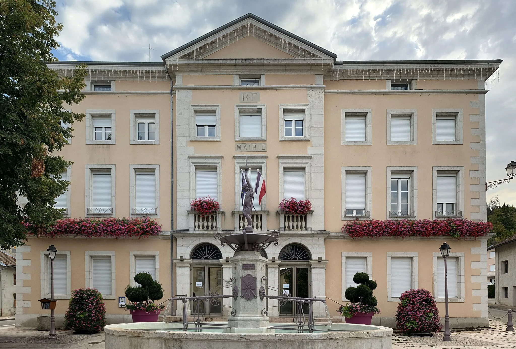
Start: Izernore Village centerIzernore: Scenic landscapes and peaceful cycling in Izernore
Izernore, located in the Rhône-Alpes region of France, provides an excellent cycling experience for road and gravel cyclists. The locality boasts scenic routes with rolling hills and stunning mountain views. The roads are well-maintained, offering a smooth and enjoyable ride. While there may not be any famous cycling-related spots or well-known climbs nearby, Izernore provides beautiful landscapes and a peaceful atmosphere for cycling. The town itself offers amenities such as restaurants and accommodations for tourists.8 km
8 km
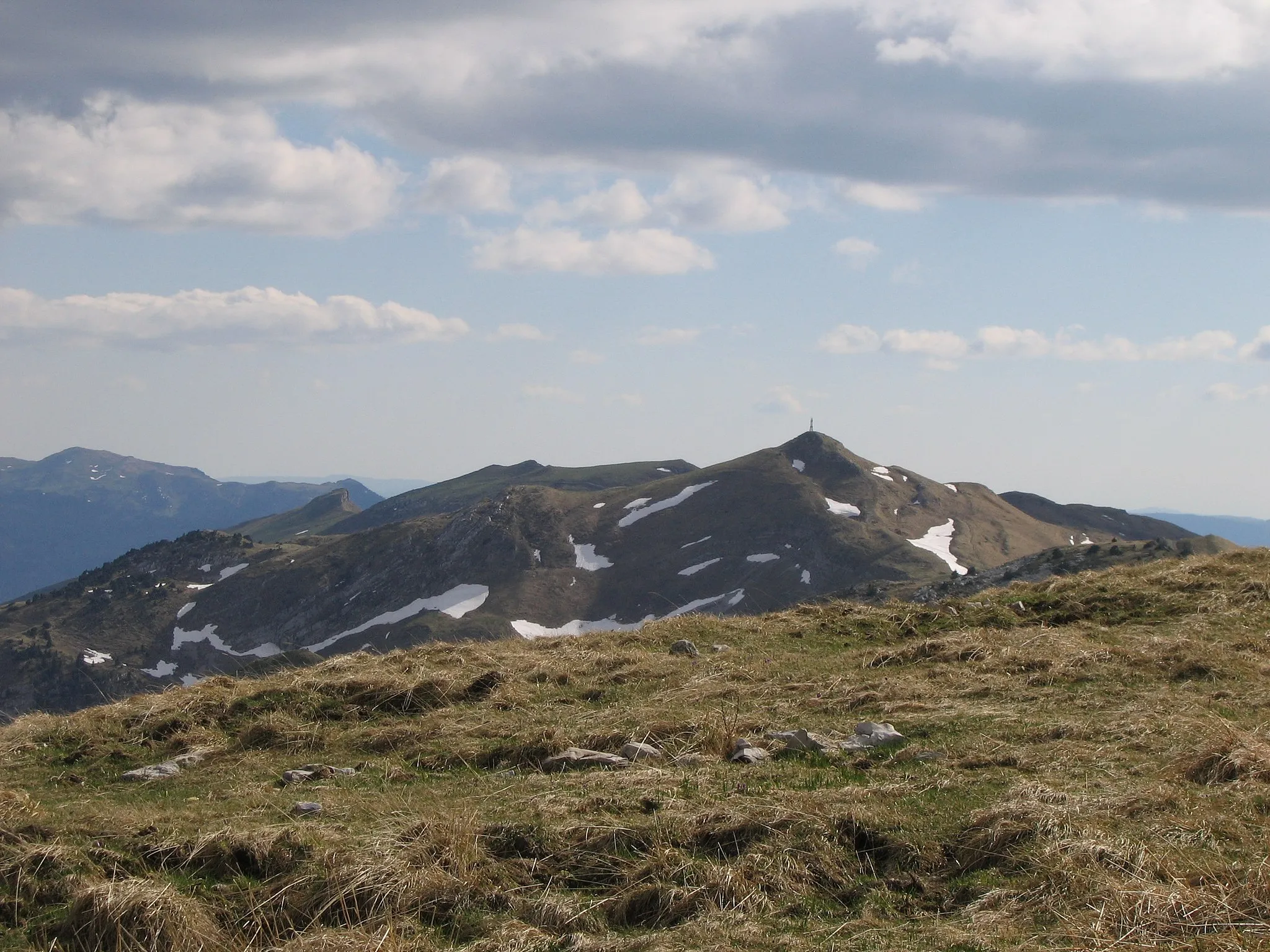
Col du Berthiand780 mMountain PassClimb to the top of Col du Berthiand and be rewarded with stunning panoramic views.
15 km
15 km
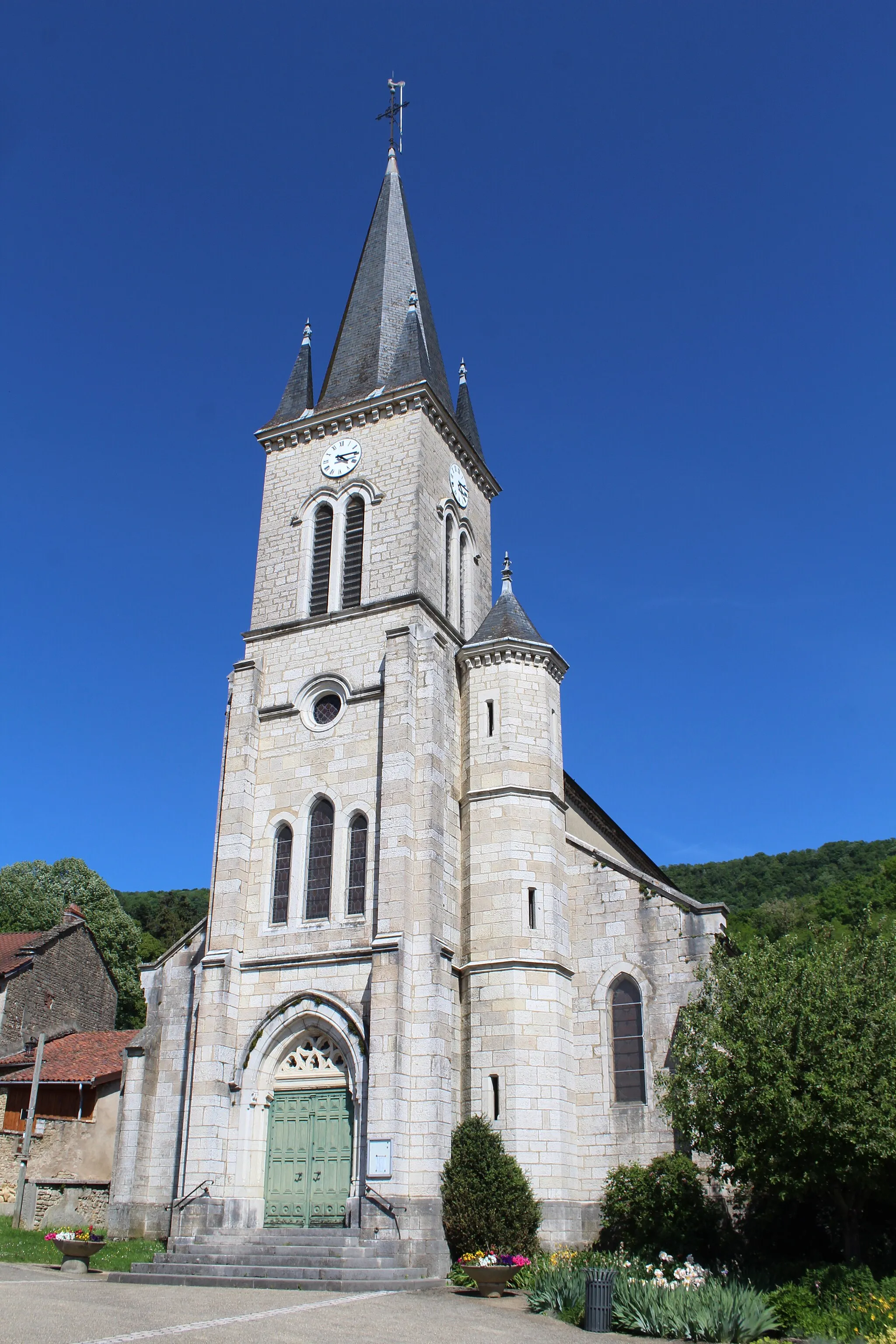
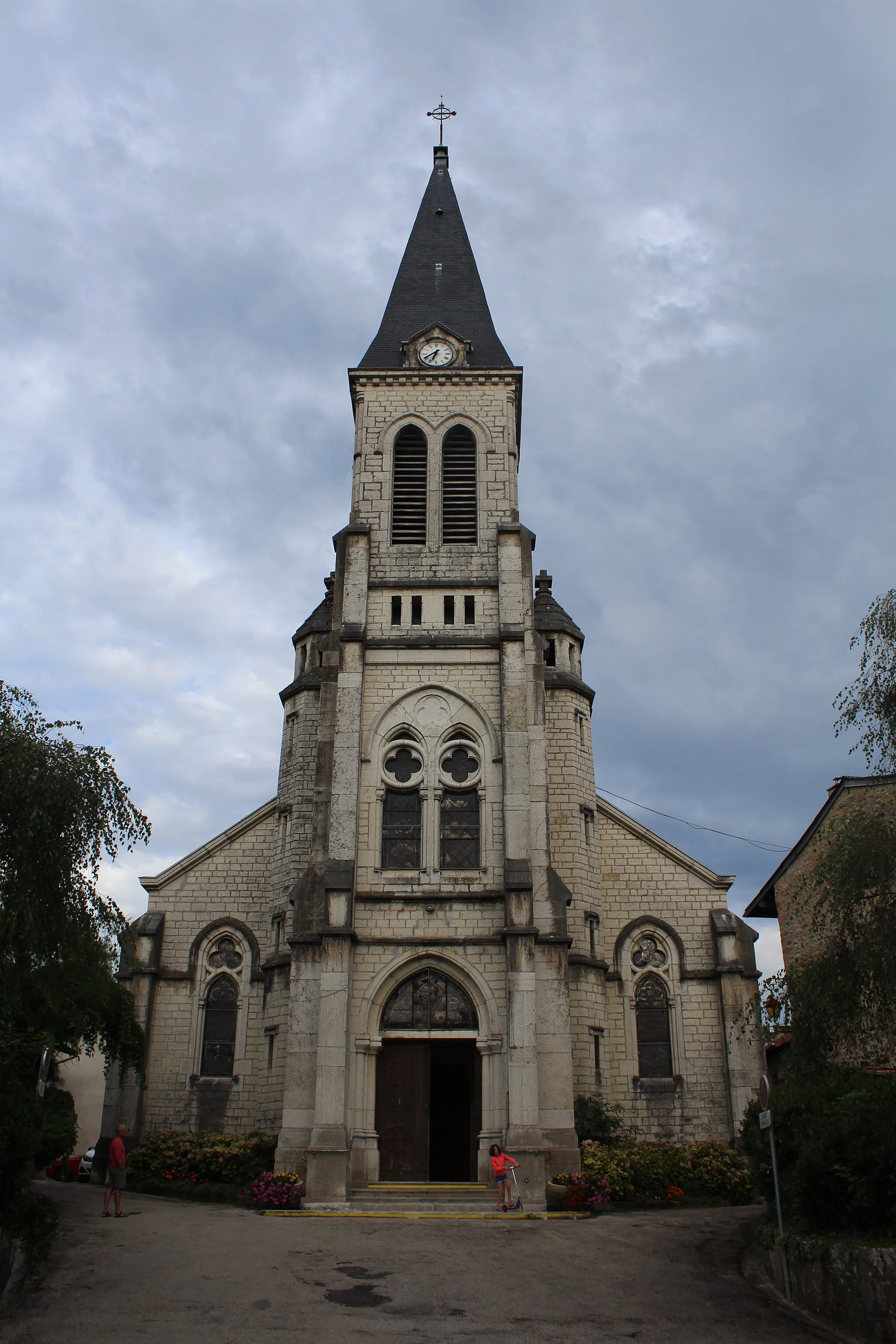
Challes-la-MontagneVillagePass through Challes-la-Montagne, a picturesque village with its charming atmosphere and scenic views.
27 km
27 km
Neuville-sur-AinVillageExplore the peaceful town of Neuville-sur-Ain and discover its architectural treasures.
51 km
51 km
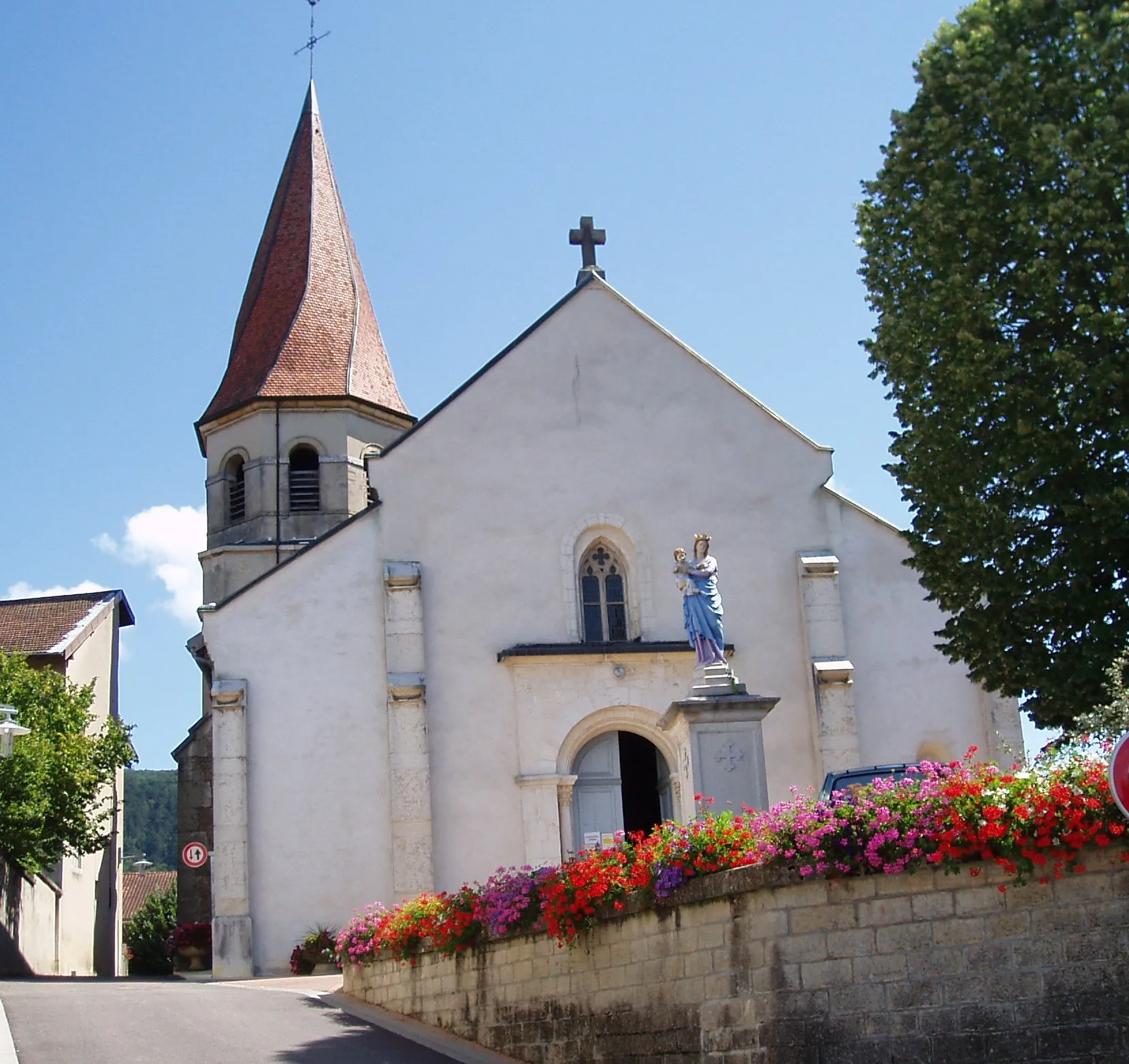
ServasVillageVisit Servas and admire the historic charm of its buildings and streets.
62 km
62 km
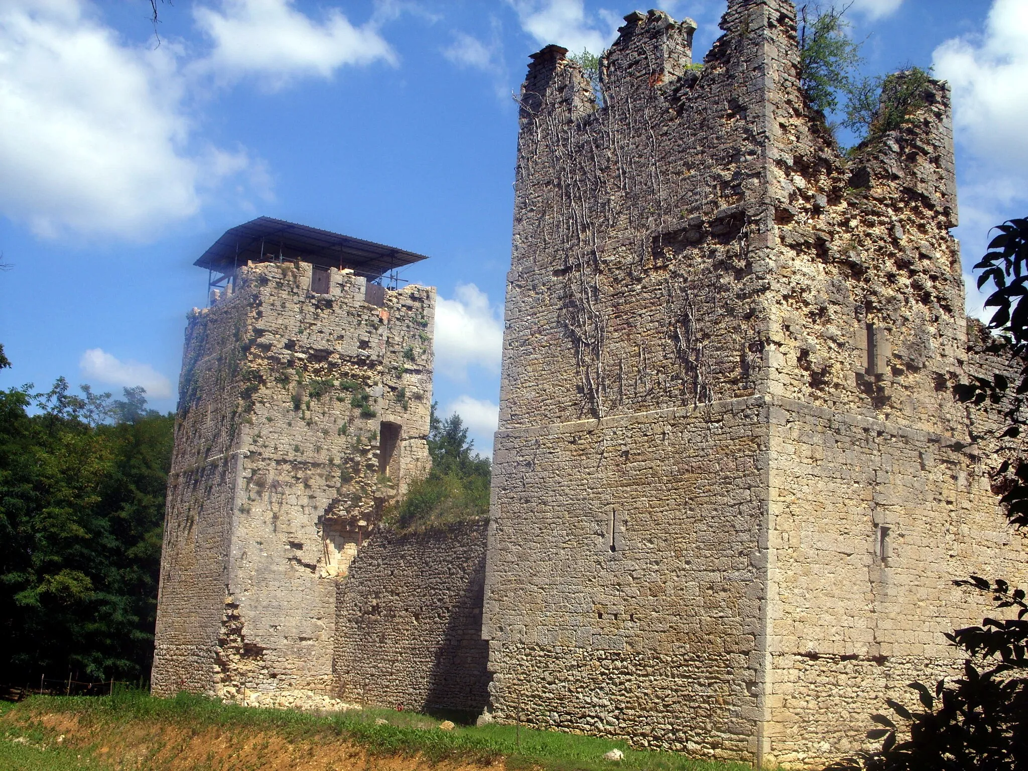
Château de la TeyssonnièreCastleDiscover the beautiful Château de la Teyssonnière as you ride through its surrounding countryside.
82 km
82 km
Saint-Étienne-du-BoisVillagePass through Saint-Étienne-du-Bois and take in the beauty of this small village.
97 km
97 km
Chavannes-sur-SuranVillageStop by Chavannes-sur-Suran and immerse yourself in its peaceful atmosphere and stunning views.
103 km
103 km
Col de la Cueille562 mMountain PassChallenge yourself with the climb up Col de la Cueille and enjoy the magnificent views from the top.
113 km
113 km
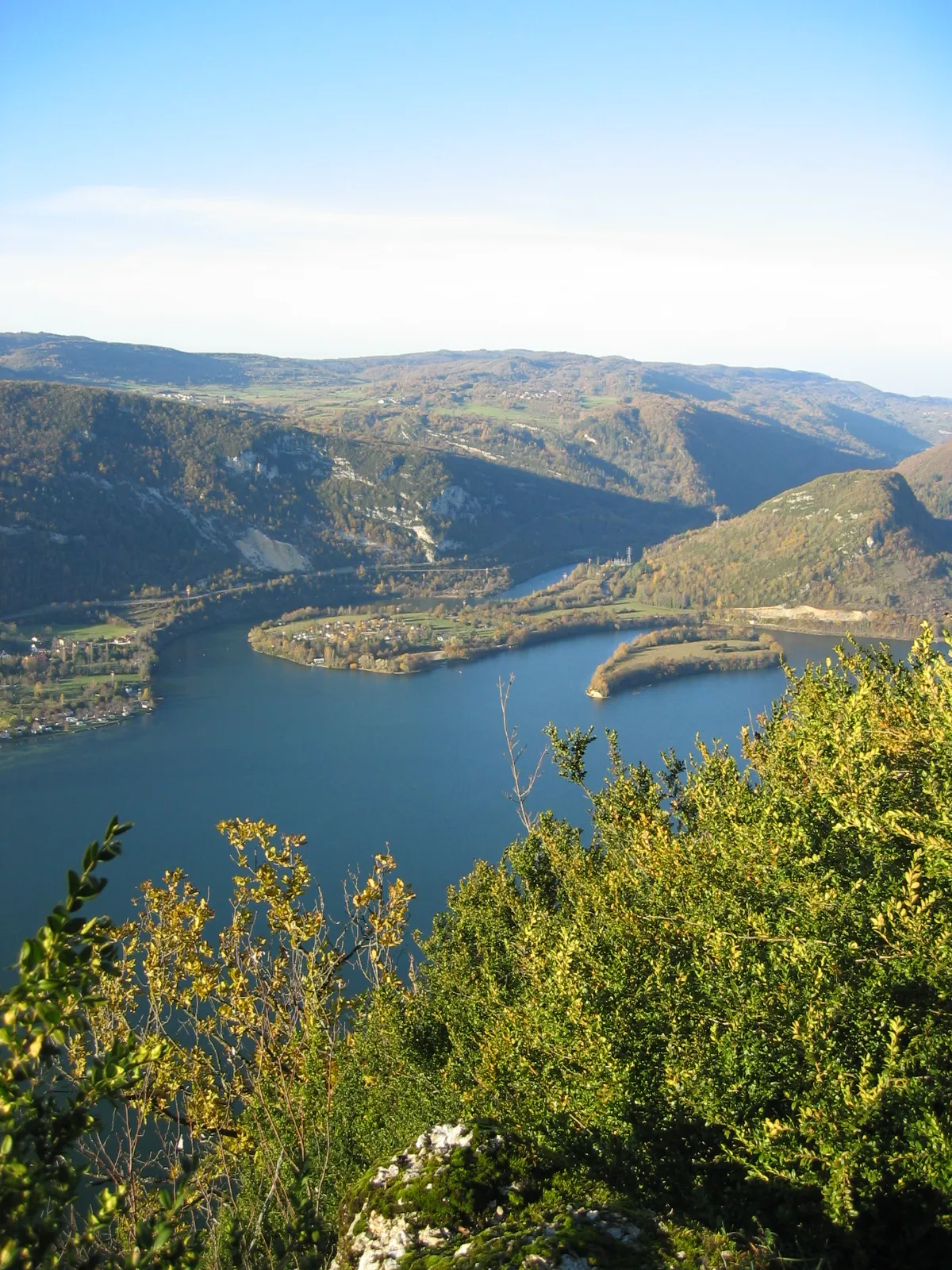
ThoiretteVillageExplore the charming village of Thoirette and its impressive history and architecture.
117 km
117 km
Col de Matafelon475 mMountain PassConquer the tough gradients of Col de Matafelon and be rewarded with breathtaking views.
126 km
126 km
IzernoreVillageFinish your ride in Izernore and explore this charming town with its rich history and beautiful surroundings.
126 km
126 km
Finish: Izernore Village centerIzernore: Scenic landscapes and peaceful cycling in Izernore
Cycling routes from Izernore:
The Ain Loop Panorama Cycling Through Suran The Beauty of Rhône-Alpes Idyllic Suran Valley Road Loop The Ultimate Cycling Challenge Gravel Adventure Thoirette Exploration Route Climb to the Roof of Rhône-Alpes Géoévoissiat Gravel Route Gravel Route: Col de Ceignes Loop Road Route: Géovreisset to Col de Sur la Semine Road Route: Col du Berthiand to Col de la Cueille Gravel Route: Explore Oyonnax and Échallon Road Route: Bellignat to Hotonnes
Cycling routes nearby: