Idyllic Suran Valley Road Loop
A road cycling route starting from Izernore
Embark on a picturesque road cycling adventure through the stunning Suran Valley
Map

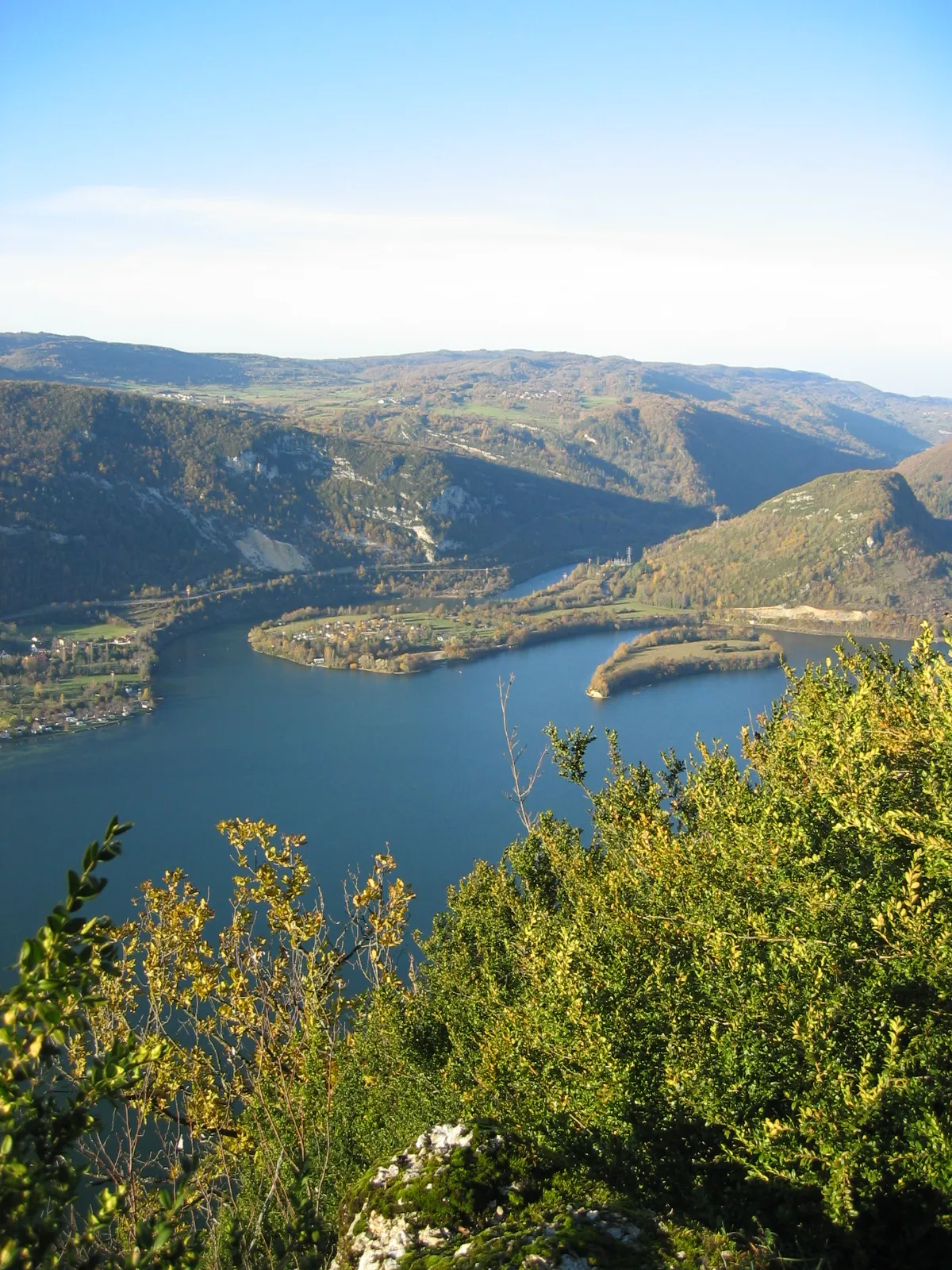
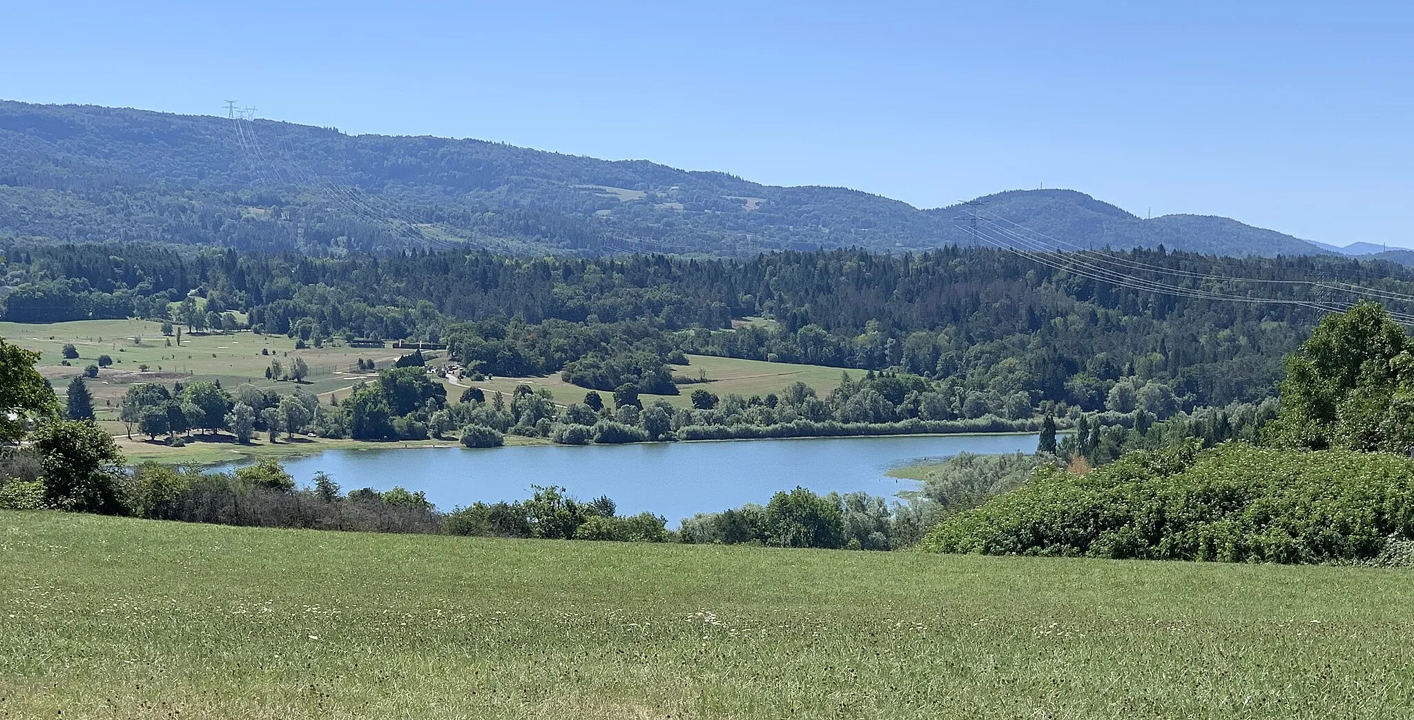
This challenging 89-kilometer road cycling loop takes you through the idyllic Suran Valley, offering breathtaking panoramic views along the way. With a total ascent of 1603 meters, this route is recommended for experienced cyclists seeking a memorable challenge. You'll pass through charming villages and enjoy the natural beauty of the Rhône-Alpes region. The Col de Matafelon is a highlight of this route, providing cyclists with stunning vistas and a sense of achievement.
road
89 km
1603 m
Tough
Route profile
Highlights on the route
0 km
0 km
Start: Izernore Village centerIzernore: Scenic landscapes and peaceful cycling in Izernore
Izernore, located in the Rhône-Alpes region of France, provides an excellent cycling experience for road and gravel cyclists. The locality boasts scenic routes with rolling hills and stunning mountain views. The roads are well-maintained, offering a smooth and enjoyable ride. While there may not be any famous cycling-related spots or well-known climbs nearby, Izernore provides beautiful landscapes and a peaceful atmosphere for cycling. The town itself offers amenities such as restaurants and accommodations for tourists.7 km
7 km
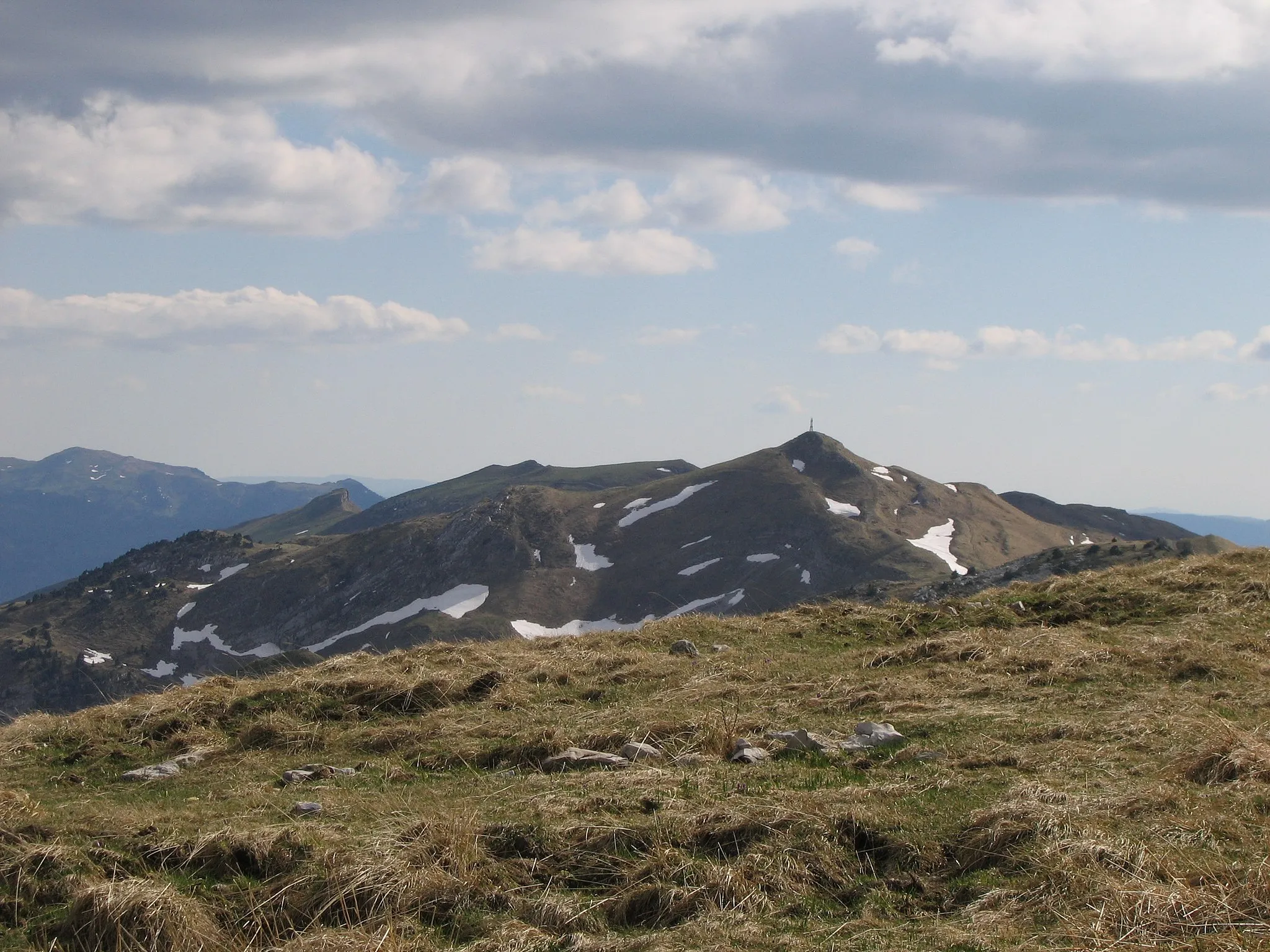
Col de Matafelon475 mMountain PassCol de Matafelon offers panoramic views of the surrounding mountains and valleys.
17 km
17 km
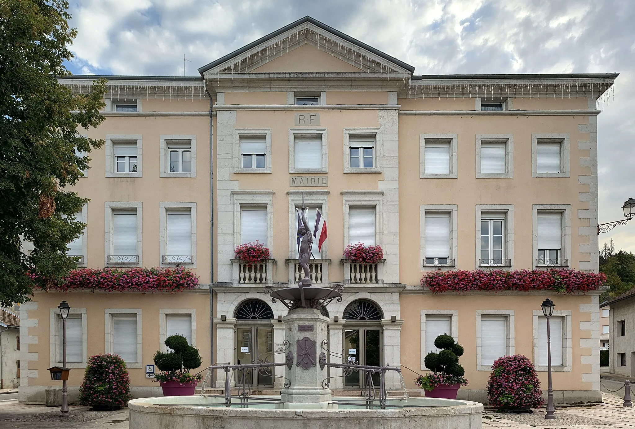
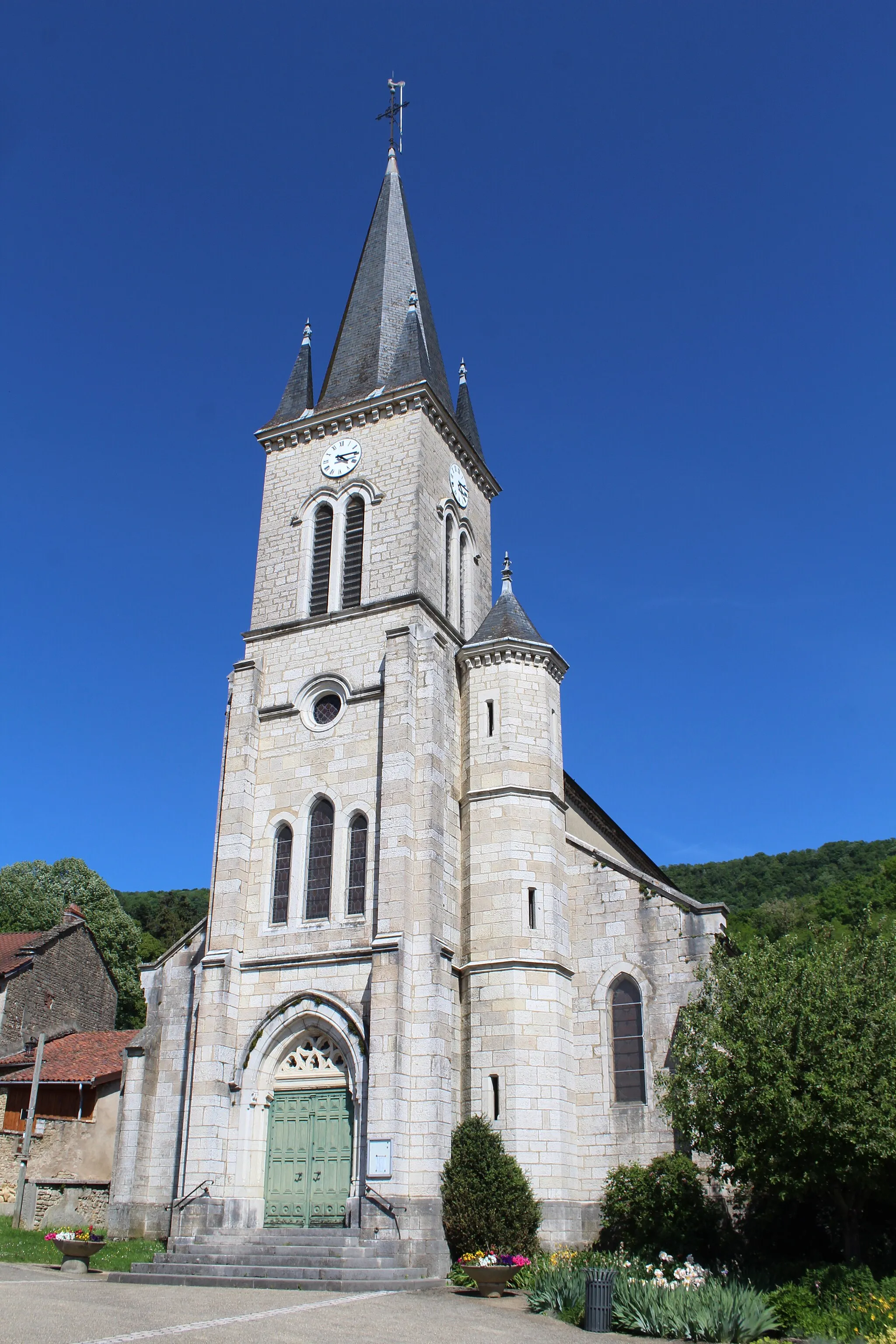
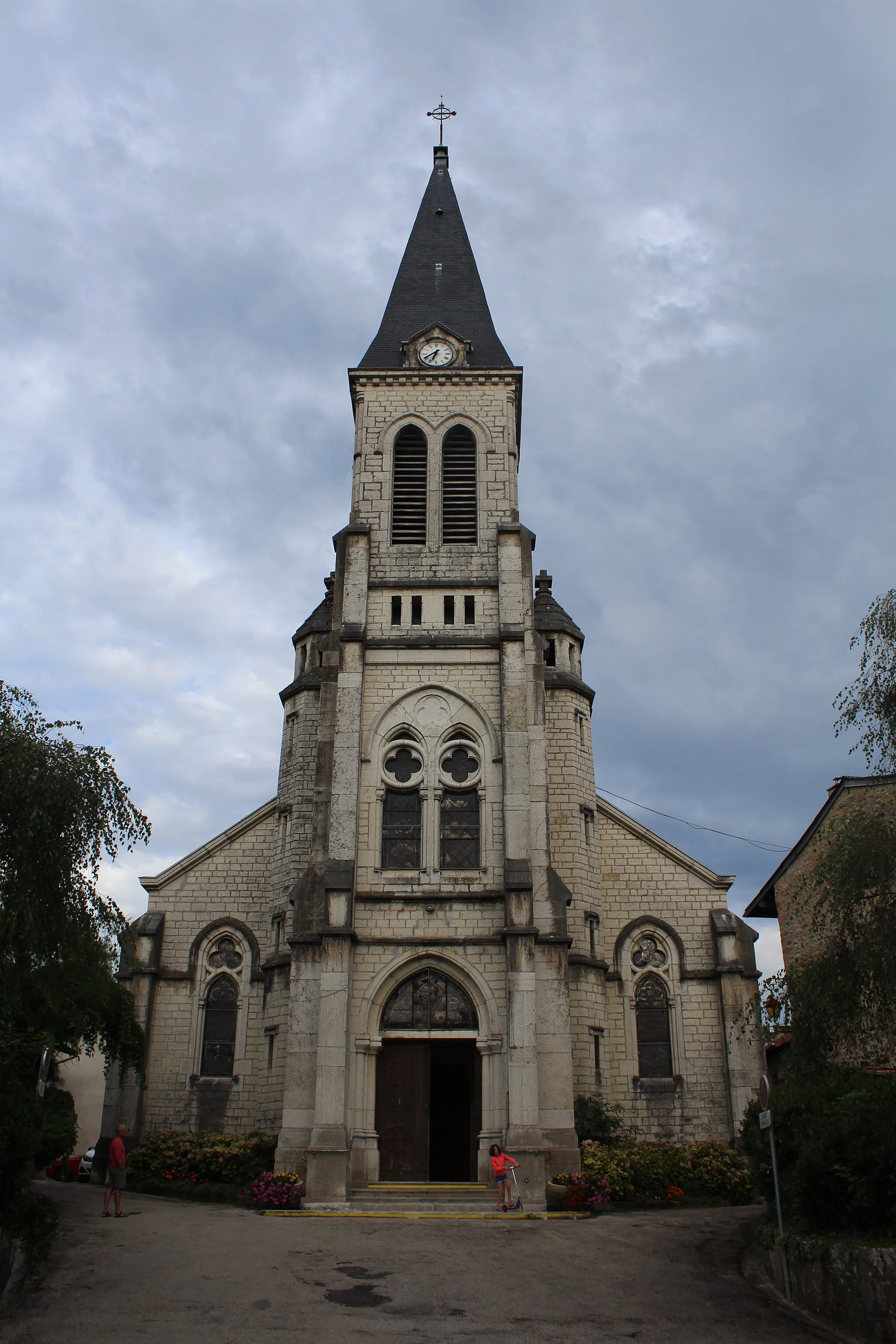
CorveissiatVillageCorveissiat is a charming village with picturesque streets and traditional architecture.
26 km
26 km
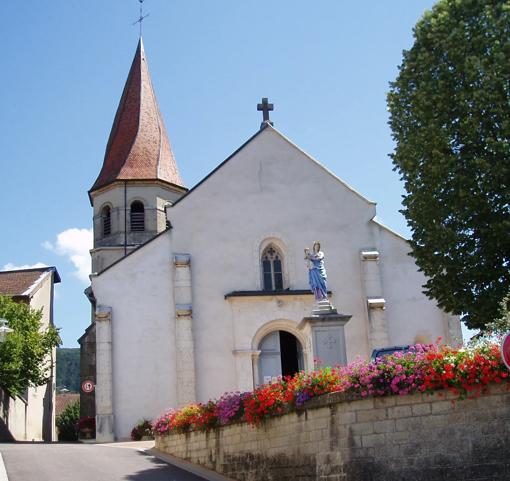
Chavannes-sur-SuranVillageChavannes-sur-Suran is known for its stunning countryside and peaceful ambiance.
42 km
42 km
Mont d'Épy481 mPeakMont d'Épy rewards cyclists with spectacular vistas and a steep climb.
62 km
62 km
GenodVillageGenod features beautiful rolling hills and serene natural surroundings.
84 km
84 km
SamognatVillageSamognat is a must-visit village with its charming old buildings and pleasant atmosphere.
89 km
89 km
Finish: Izernore Village centerIzernore: Scenic landscapes and peaceful cycling in Izernore
Cycling routes from Izernore:
The Ain Loop Panorama Cycling Through Suran The Beauty of Rhône-Alpes Idyllic Suran Valley Road Loop The Ultimate Cycling Challenge Gravel Adventure Thoirette Exploration Route Climb to the Roof of Rhône-Alpes Géoévoissiat Gravel Route Gravel Route: Col de Ceignes Loop Road Route: Géovreisset to Col de Sur la Semine Road Route: Col du Berthiand to Col de la Cueille Gravel Route: Explore Oyonnax and Échallon Road Route: Bellignat to Hotonnes
Cycling routes nearby: