Journey through Janneyrias
A road cycling route starting from La Boisse
Discover the hidden gems of Pont-de-Chéruy and Janneyrias
Map
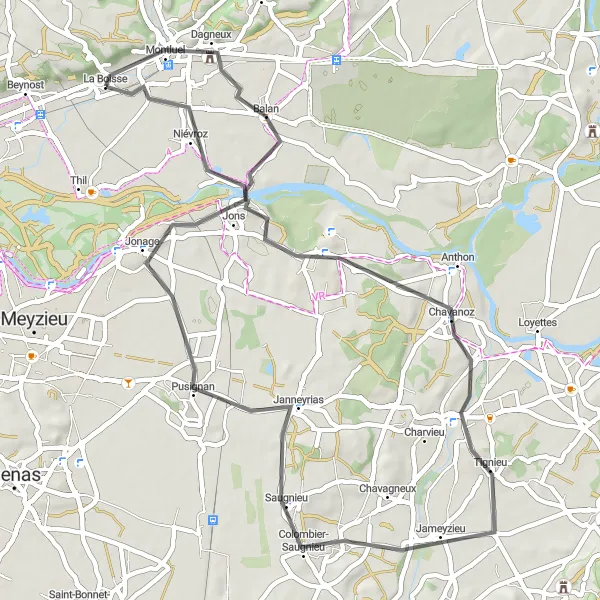
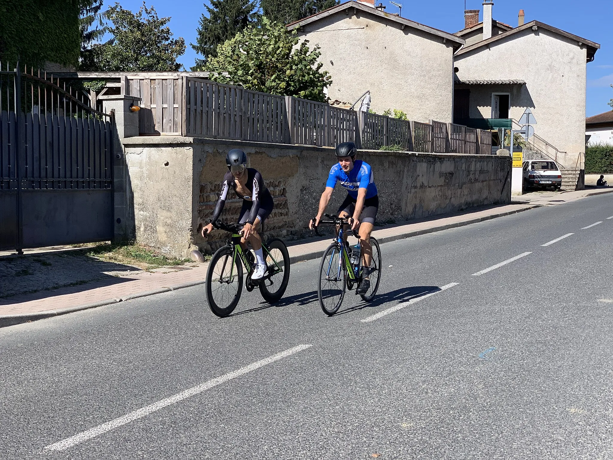
Embark on a road cycling adventure that will lead you through the captivating towns of Pont-de-Chéruy and Janneyrias. With an ascent of 252m and a distance of 56km, this route is suitable for intermediate cyclists. The difficulty level is rated at 3, offering a satisfying challenge for well-trained amateurs. The epicness level is marked as 2, making it a relatively relaxed and enjoyable ride.
road
56 km
252 m
Tough
Route profile
Highlights on the route
0 km
0 km
Start: La Boisse Village centerLa Boisse: Road cycling through the Rhône-Alpes region
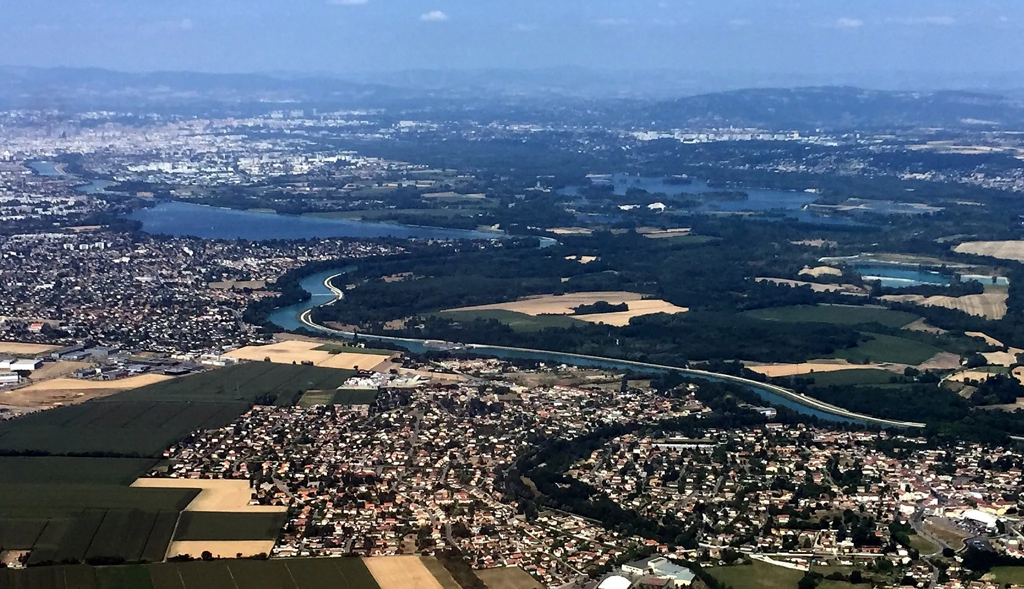
La Boisse is a small town located in the Rhône-Alpes region of France. From a cyclist's perspective, the locality offers a mix of flat roads and rolling hills perfect for road biking. The roads in the area are well-maintained and offer scenic routes through vineyards and fields. One famous cycling spot nearby is Mont Ventoux, known for its challenging climb and breathtaking views from the summit. La Boisse is also within proximity to Lyon, making it an ideal base for cyclists looking to explore both the countryside and the city. Overall, La Boisse is a great locality for road cyclists and provides access to iconic climbs in the region.4 km
4 km
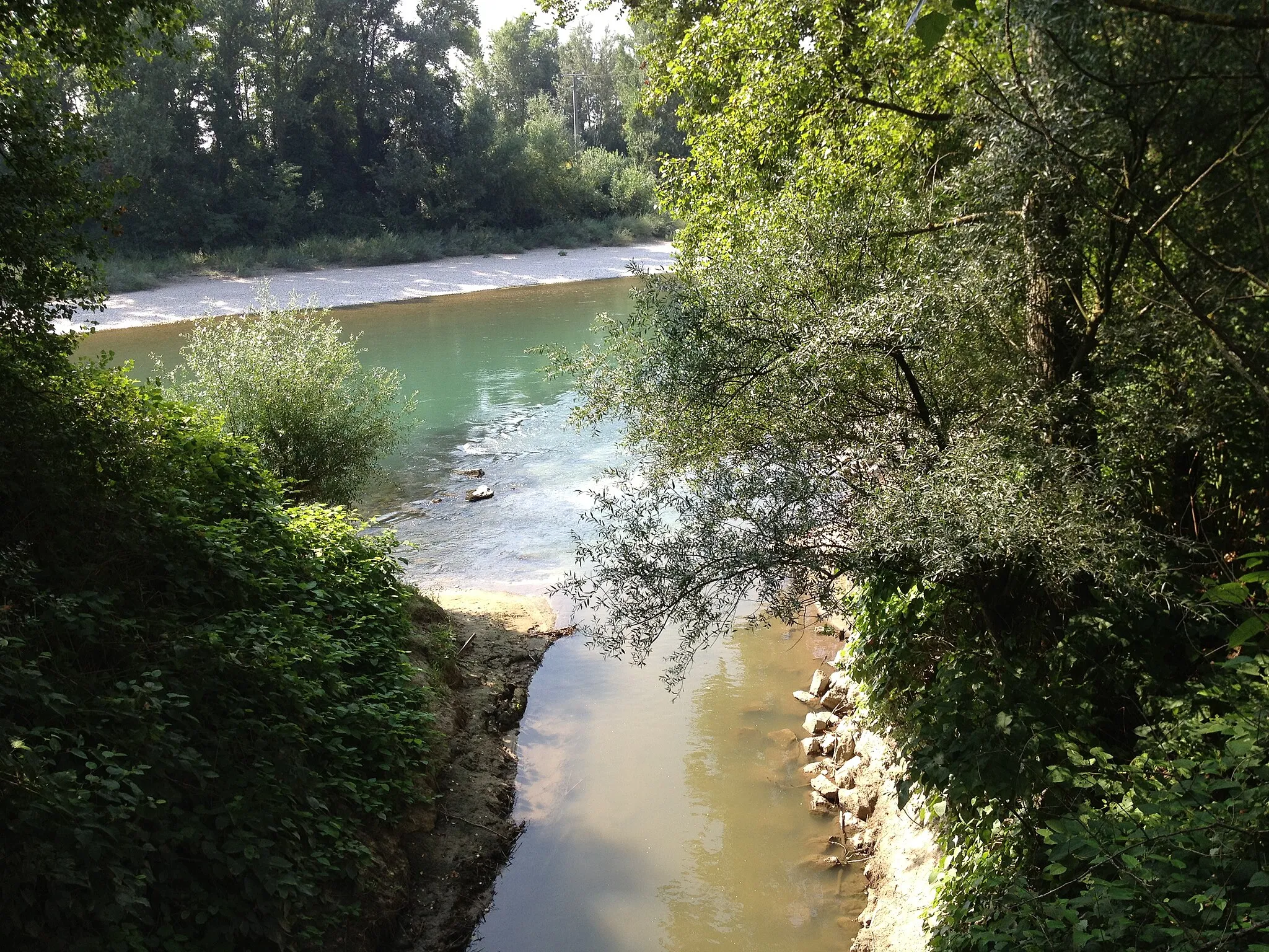
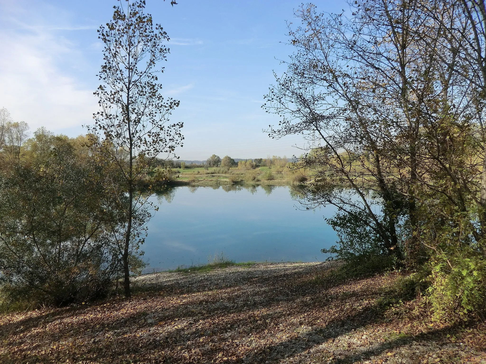
NiévrozVillageDiscover the hidden gem of Niévroz, a charming village with a rich historical background.
19 km
19 km
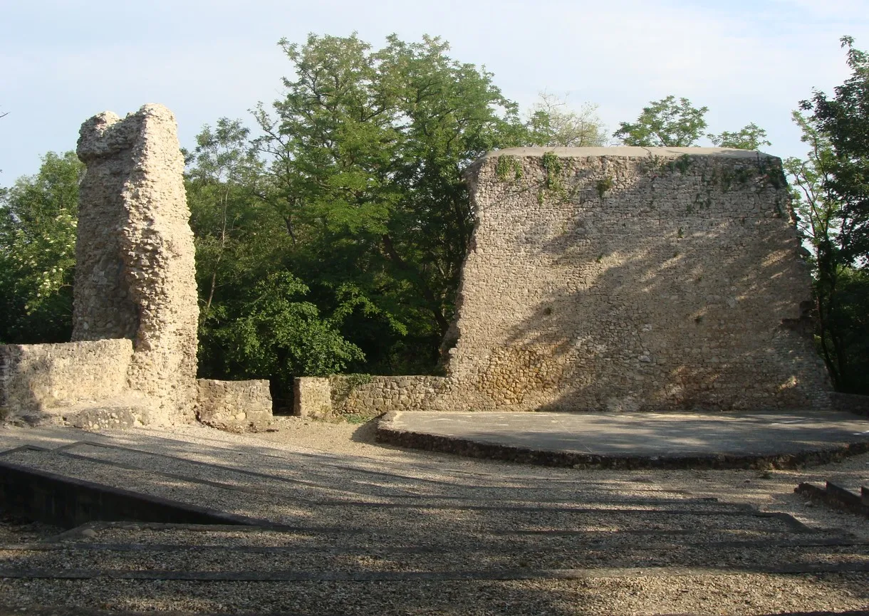
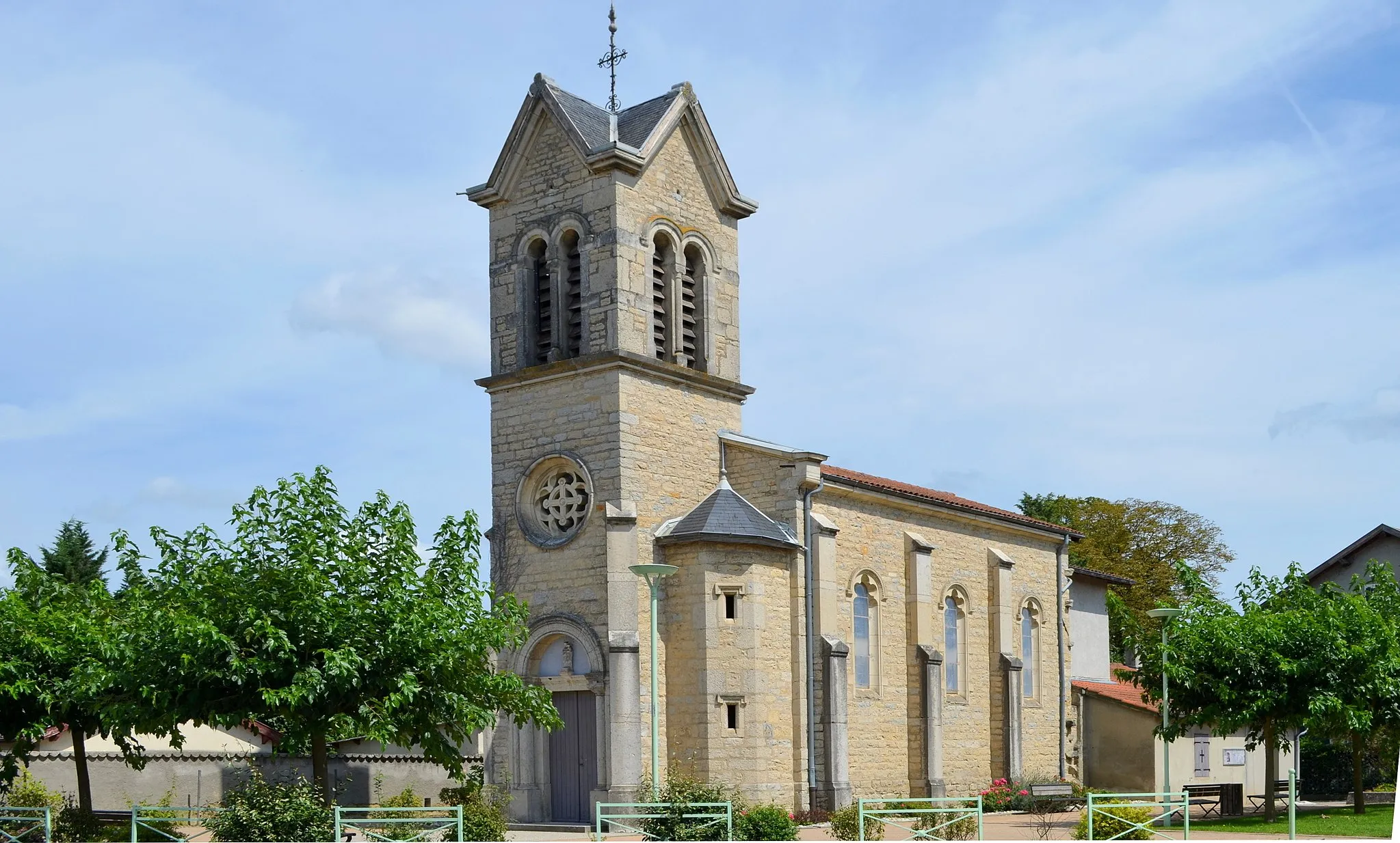
Pont-de-ChéruyVillageVisit Pont-de-Chéruy and explore its quaint streets lined with beautiful architecture and vibrant culture.
34 km
34 km
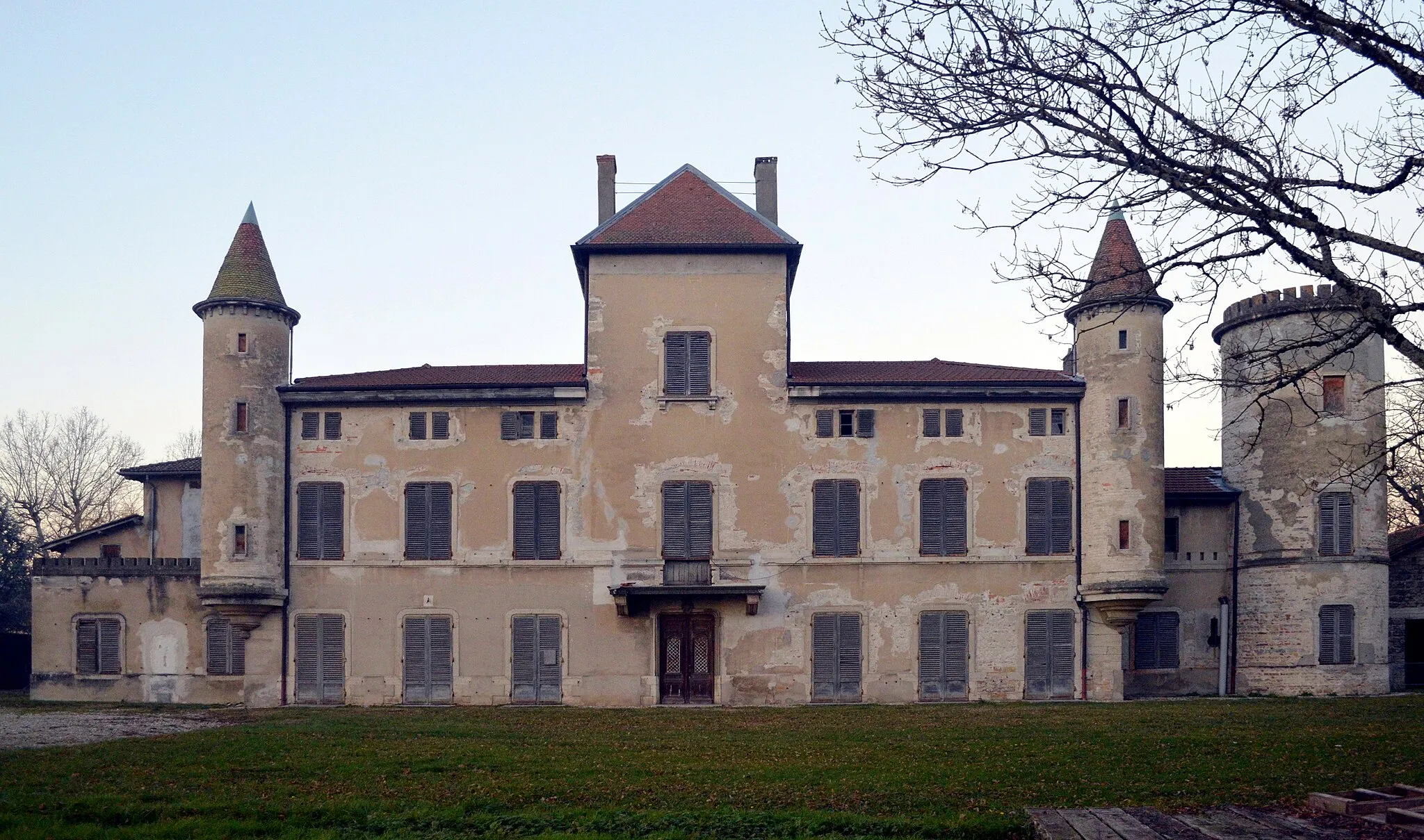
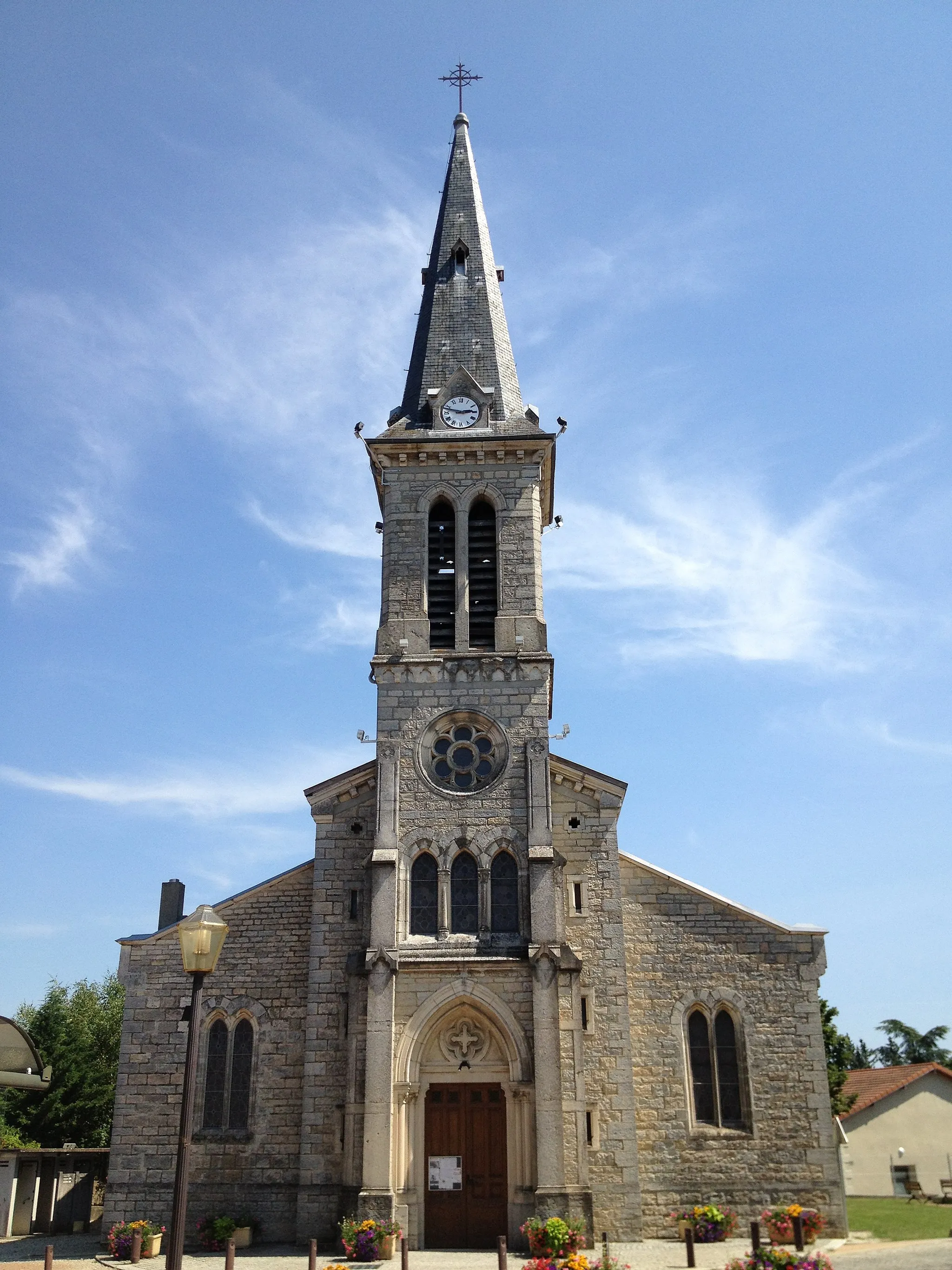
JanneyriasVillageExperience the picturesque beauty of Janneyrias as you cycle through its serene landscapes.
52 km
52 km
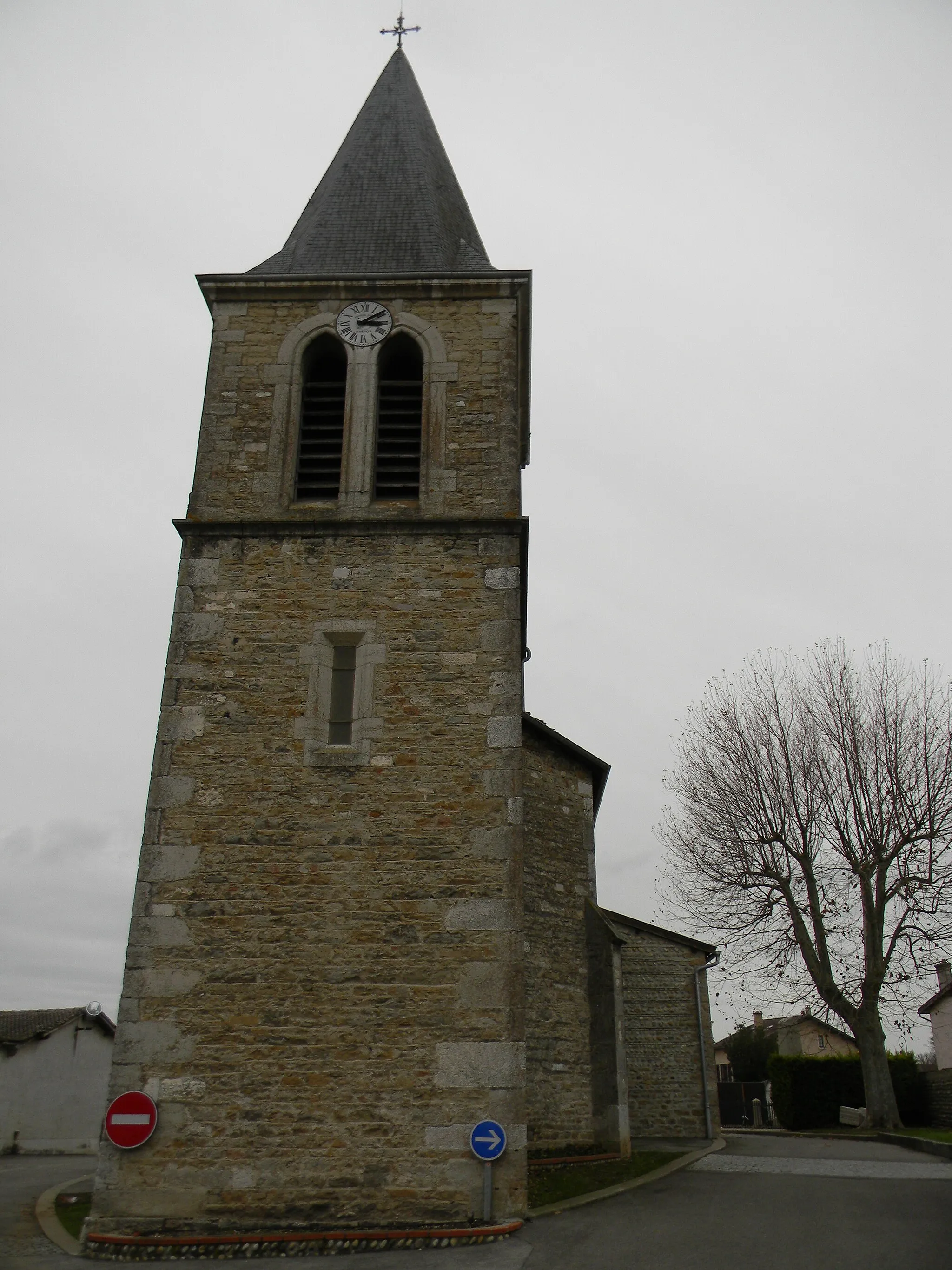
DagneuxVillageCycle through the scenic town of Dagneux and discover its hidden charms along the way.
56 km
56 km
Finish: La Boisse Village centerLa Boisse: Road cycling through the Rhône-Alpes region
Cycling routes from La Boisse:
Cycling routes nearby: