The Sorbiers Loop
A road cycling route starting from La Talaudiere
Explore the charming town of Sorbiers and ride through picturesque countryside on this road cycling route.
Map

The Sorbiers Loop is a scenic road cycling route starting near La Talaudière. With a total distance of 86 kilometers and an ascent of 1705 meters, this route provides a challenging yet rewarding experience. The highlight of this route is the Crêt Saint-Georges, located at the 11-kilometer mark. From the summit, cyclists can enjoy breathtaking views of the surrounding landscapes. Other highlights along the route include Rive-de-Gier, Longes, Crêt de Chassenoud, Pélussin, Doizieux, and Saint-Chamond.
road
86 km
1705 m
Tough
Route profile
Highlights on the route
0 km
0 km
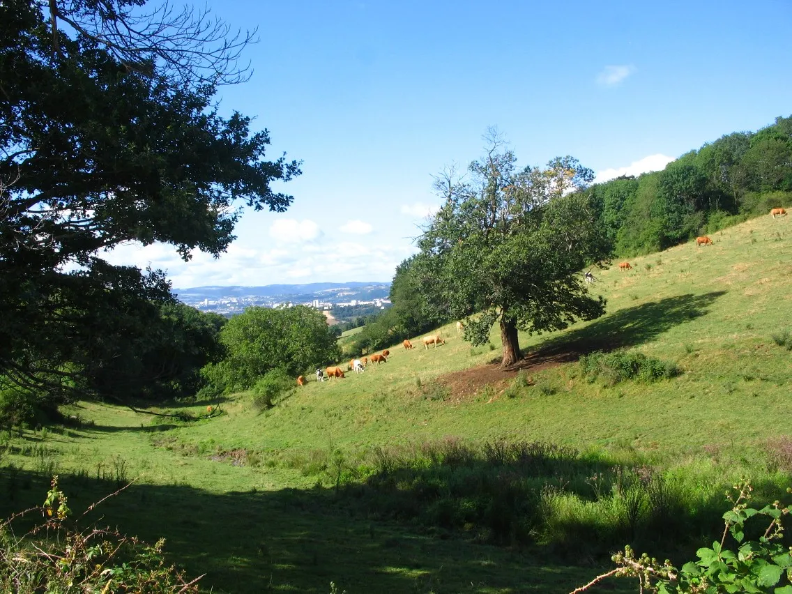
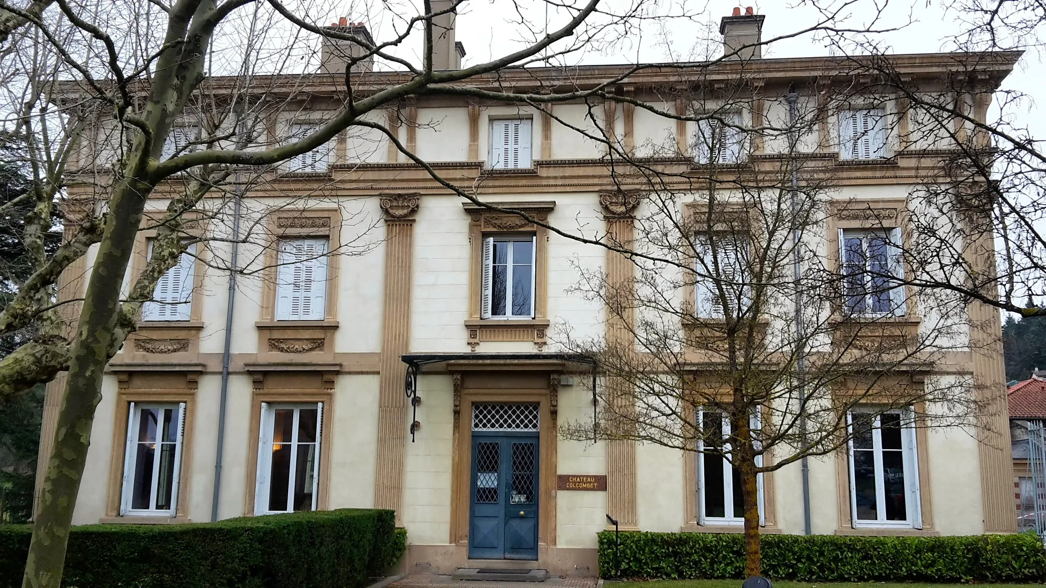
Start: La Talaudière Village centerLa Talaudière: Exploring the beautiful landscapes and conquering Mont Pilat in La Talaudière.
La Talaudière is a town situated in the Rhône-Alpes region of France. As a road and gravel cyclist, La Talaudière offers a variety of cycling routes that showcase the beautiful landscapes of the region. The roads are generally well-maintained, providing a smooth riding experience. One notable cycling attraction nearby is the Mont Pilat, which offers stunning views from its summit. With its scenic routes and pleasant cycling conditions, La Talaudière is a great destination for cyclists of all levels.2 km
2 km
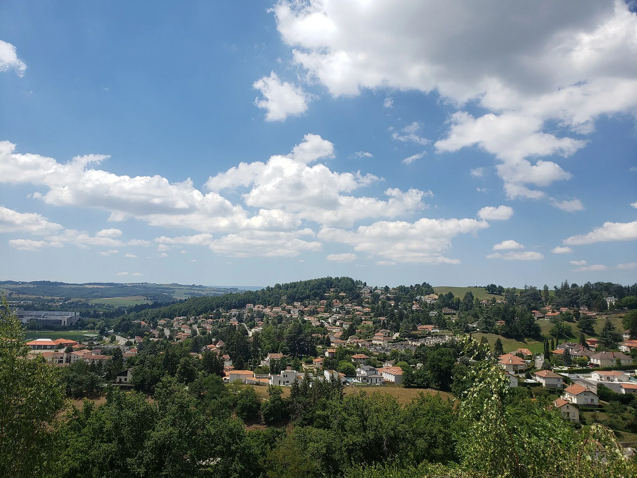
SorbiersVillageStop by Sorbiers and discover its rich history and traditional architecture.
11 km
11 km
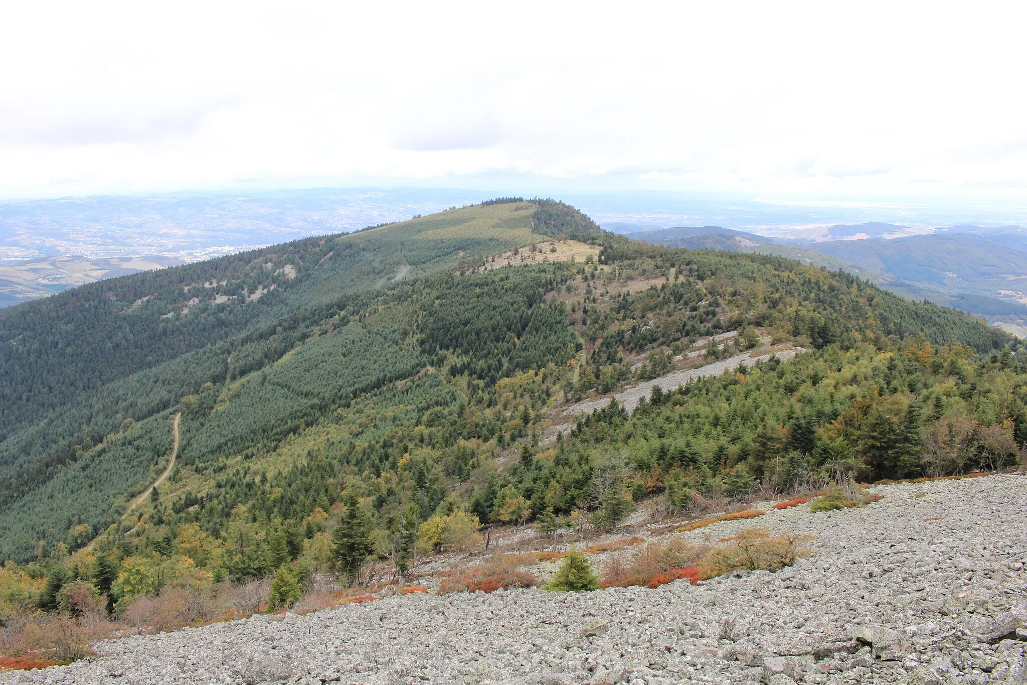
Crêt Saint-Georges817 mPeakReach the summit of Crêt Saint-Georges and marvel at the panoramic views.
23 km
23 km
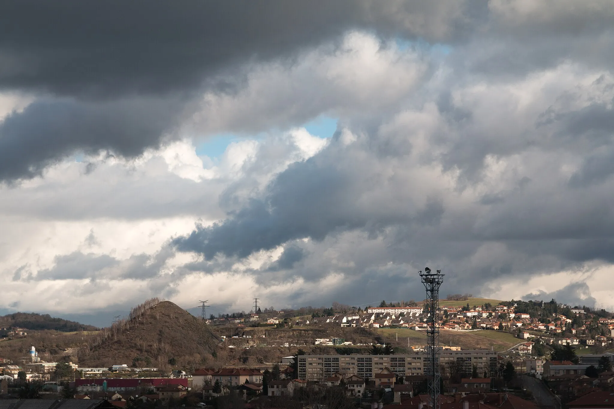
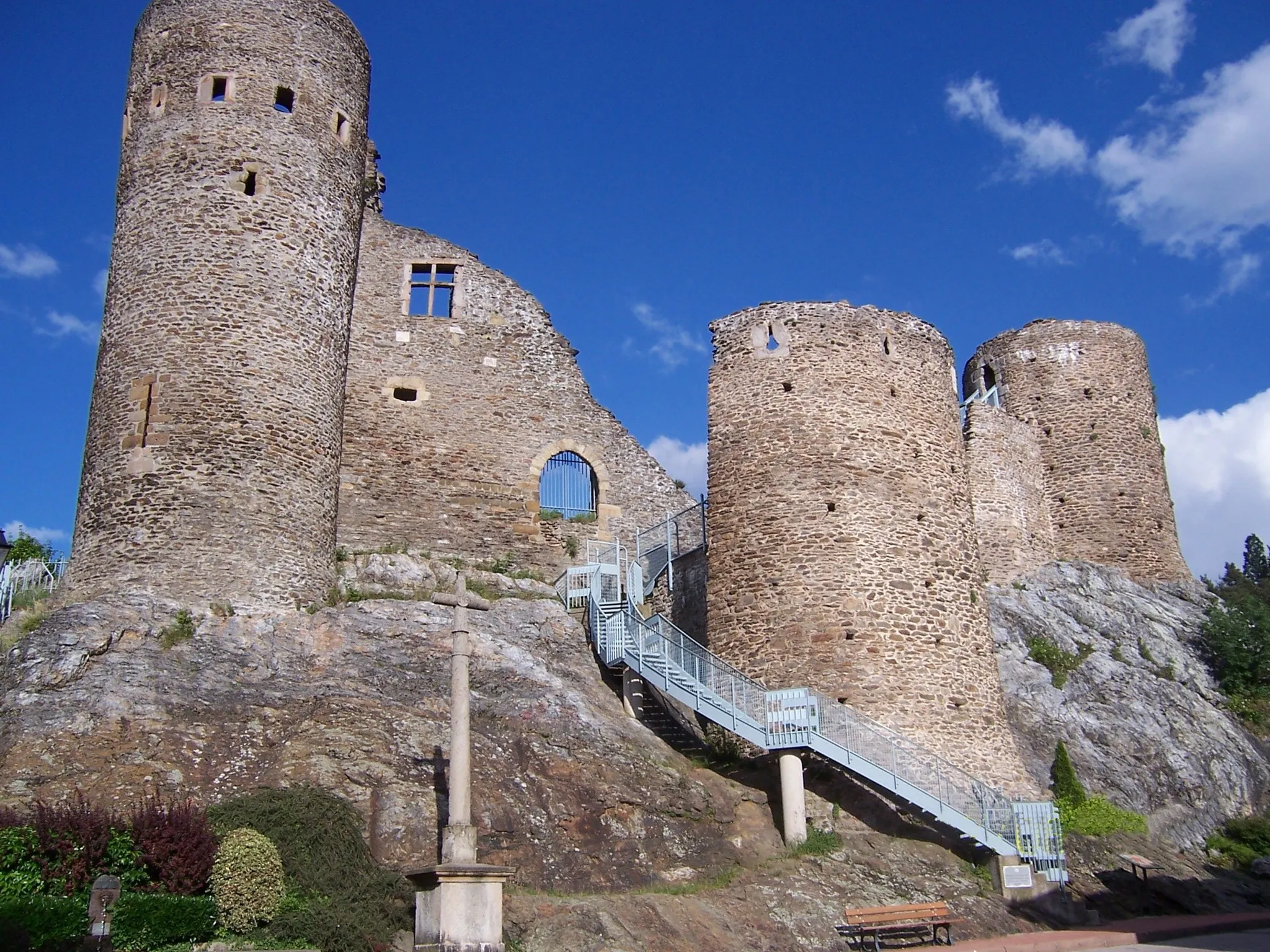
Rive-de-GierTownPass through the charming town of Rive-de-Gier, known for its impressive medieval castle.
35 km
35 km
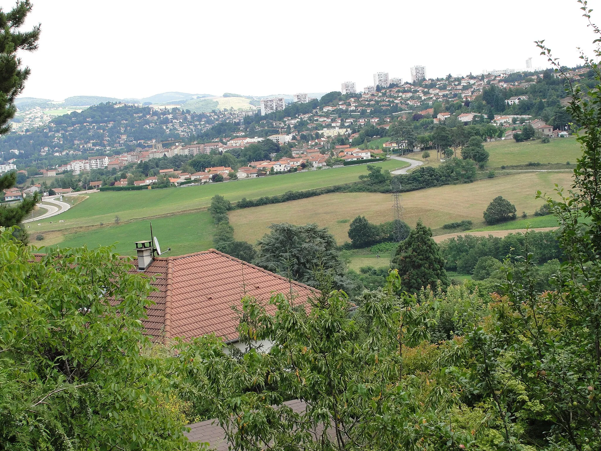
LongesVillageAdmire the natural beauty of Longes with its lush forests and tranquil atmosphere.
37 km
37 km
Crêt de Chassenoud758 mPeakConquer the challenging climb up Crêt de Chassenoud and enjoy the sense of accomplishment.
51 km
51 km
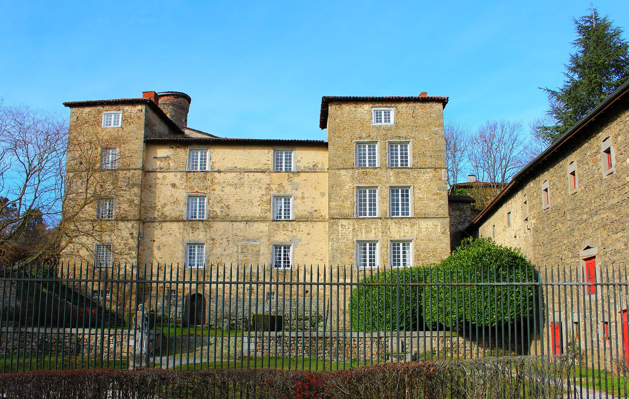
PélussinVillageVisit the town of Pélussin and explore its charming streets and historic buildings.
65 km
65 km
DoizieuxVillagePass through Doizieux, a small village known for its traditional rural charm.
78 km
78 km
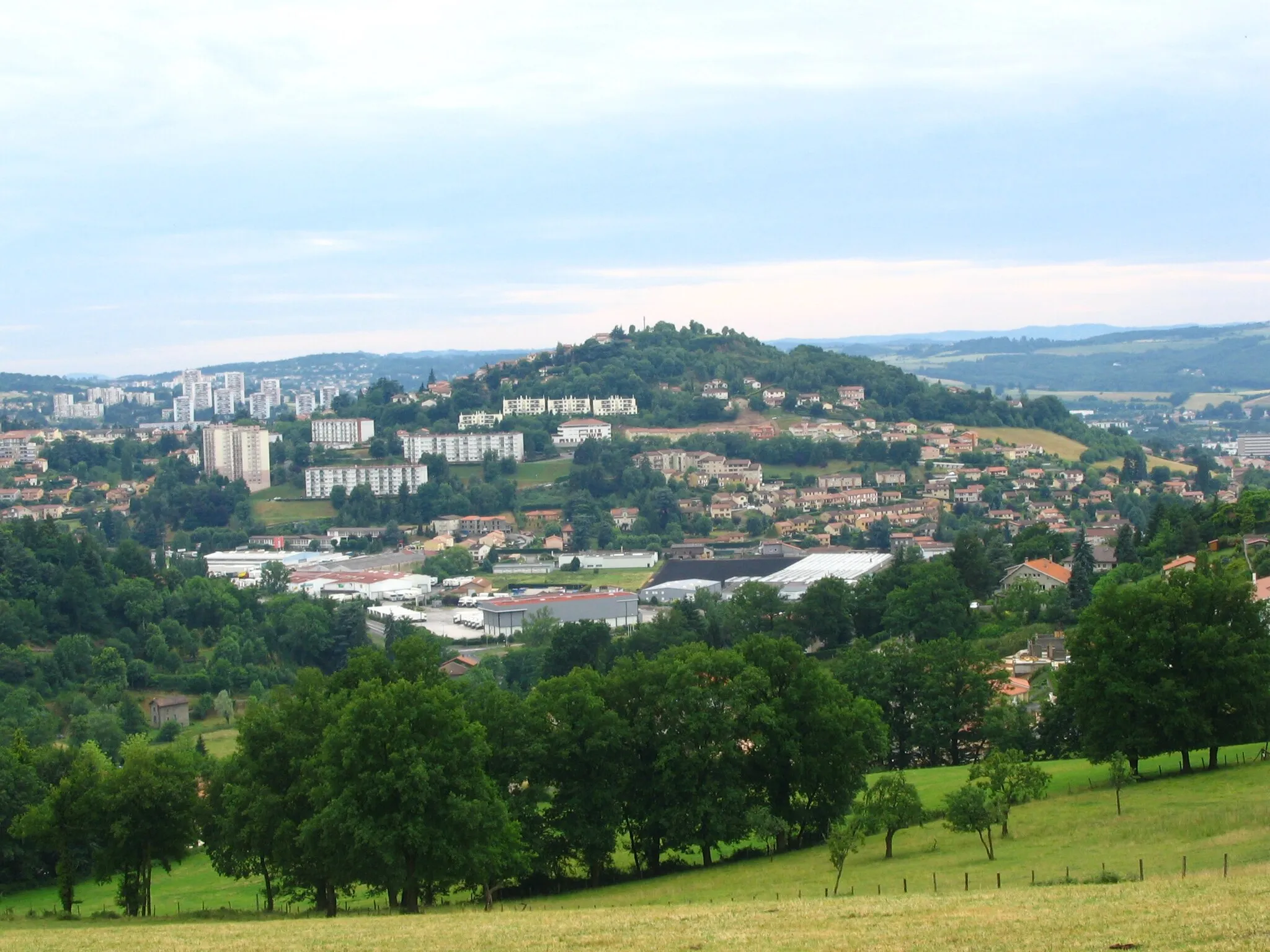
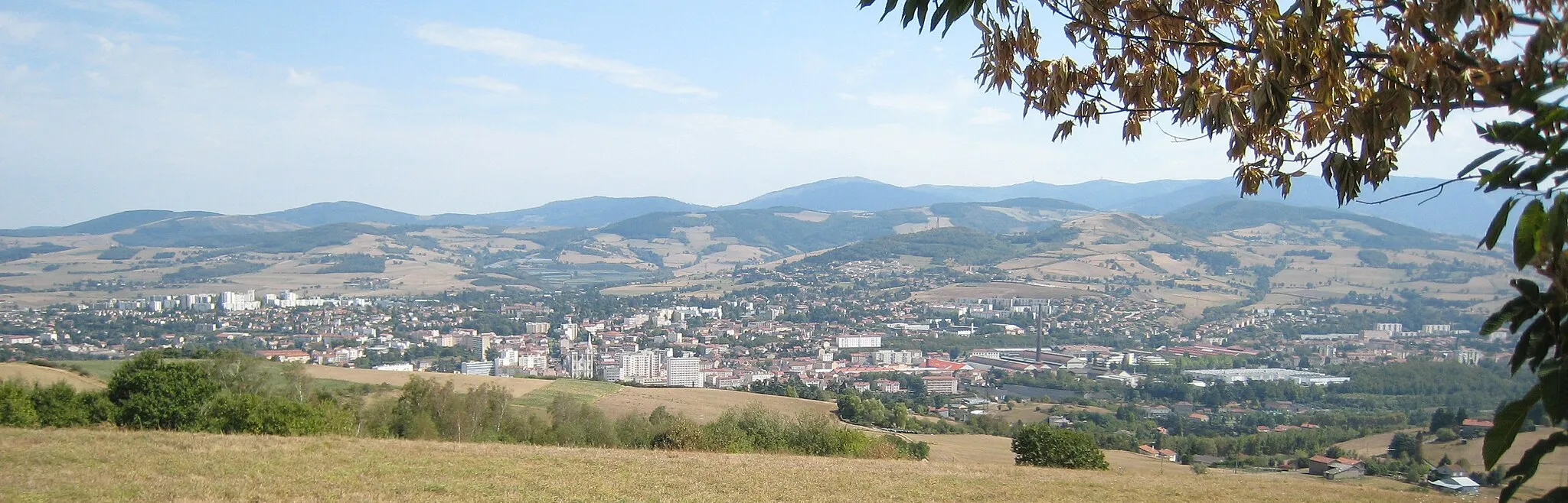
Saint-ChamondTownDiscover the historical town of Saint-Chamond and learn about its industrial past.
86 km
86 km
Finish: La Talaudière Village centerLa Talaudière: Exploring the beautiful landscapes and conquering Mont Pilat in La Talaudière.
Cycling routes nearby: