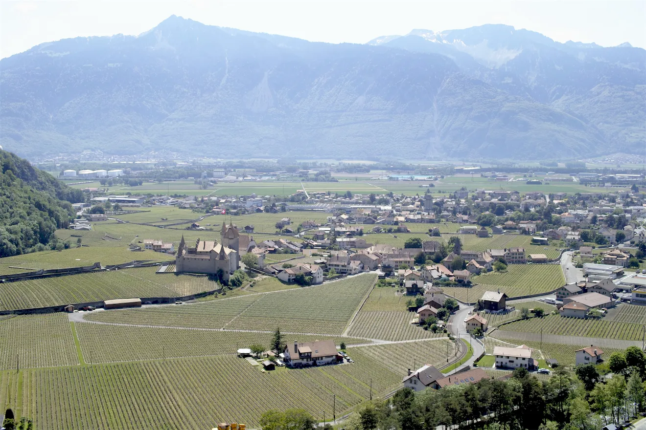
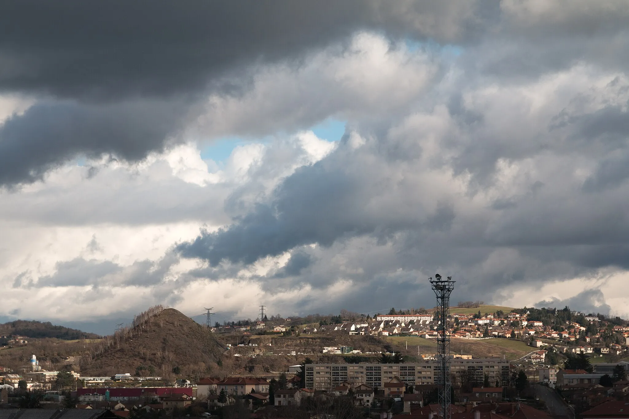
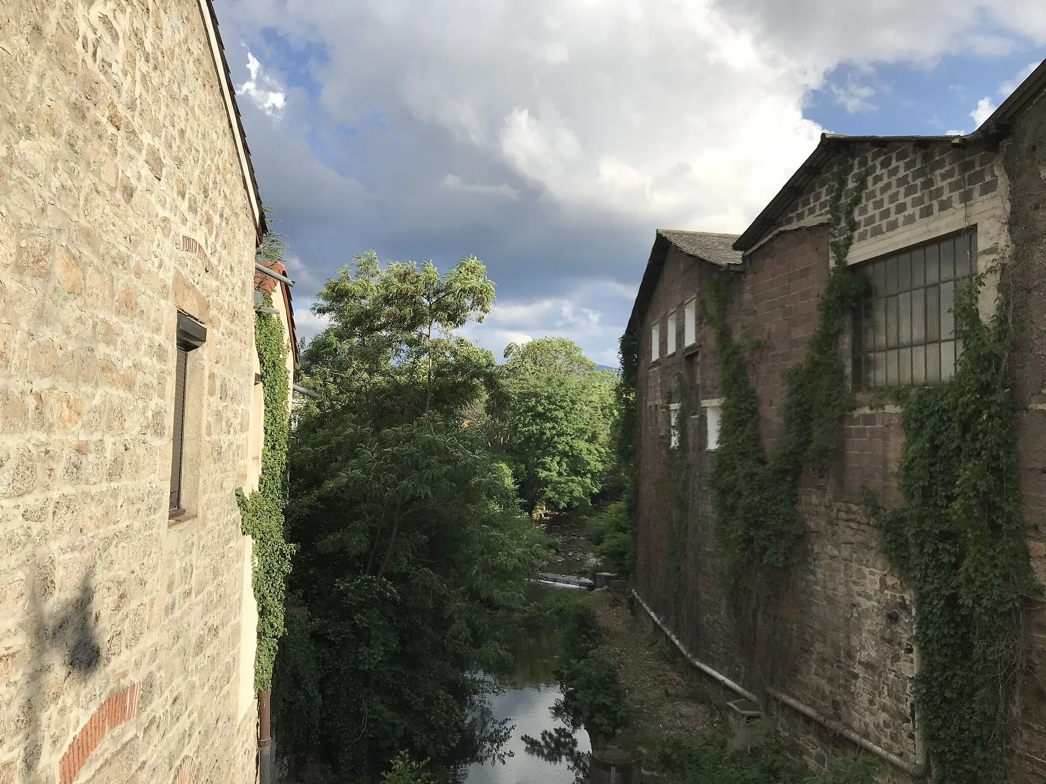
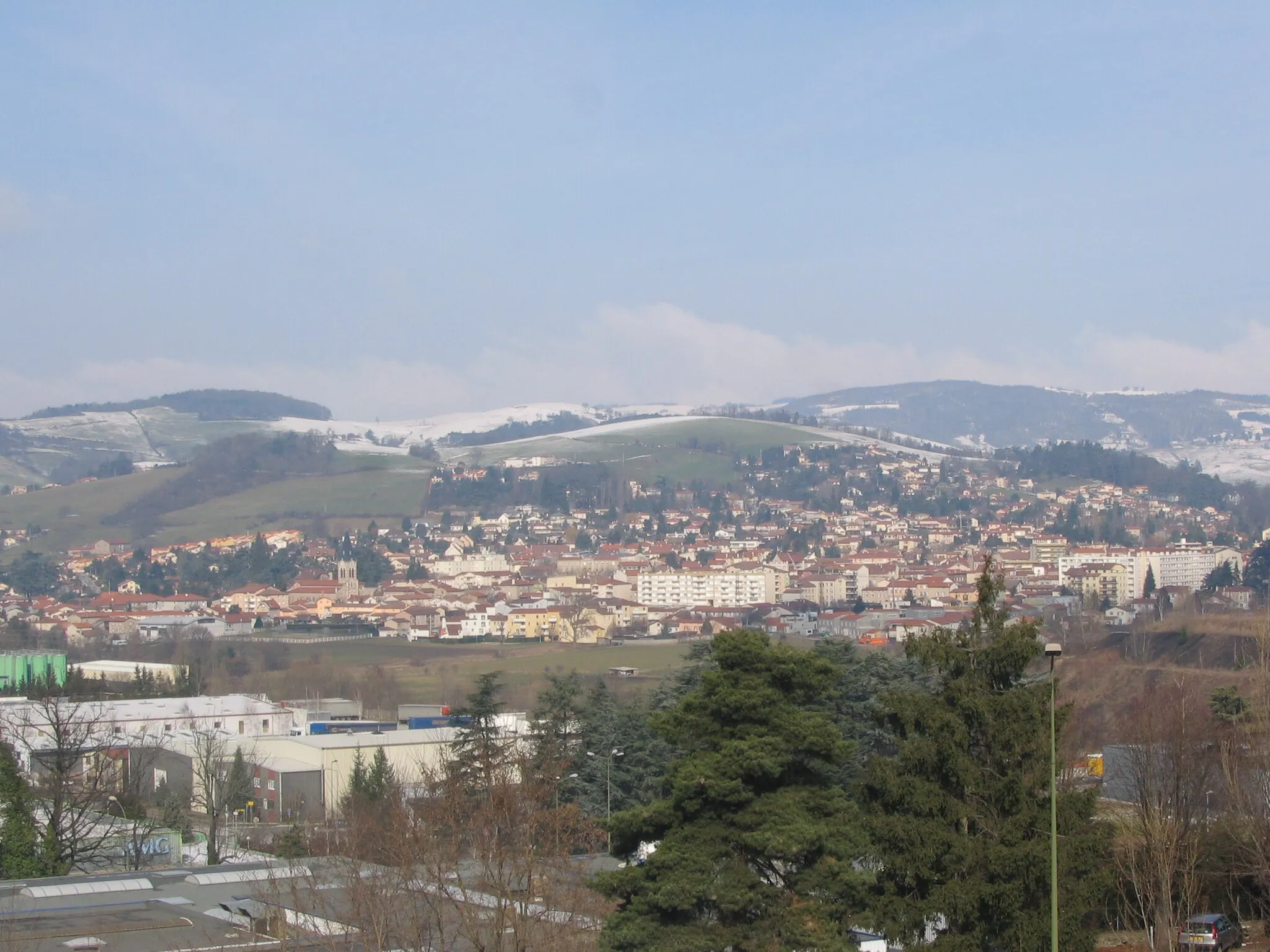
Tranquil town near Parc Naturel Régional du Pilat and wine region
Cycling routes from Saint-Chamond
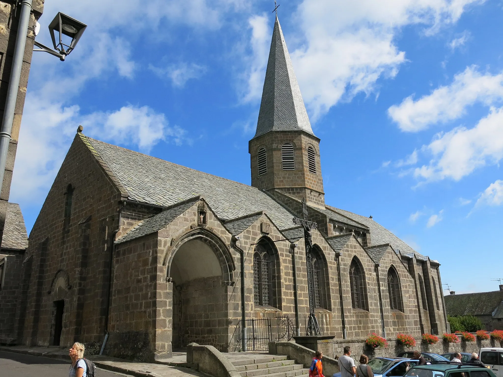
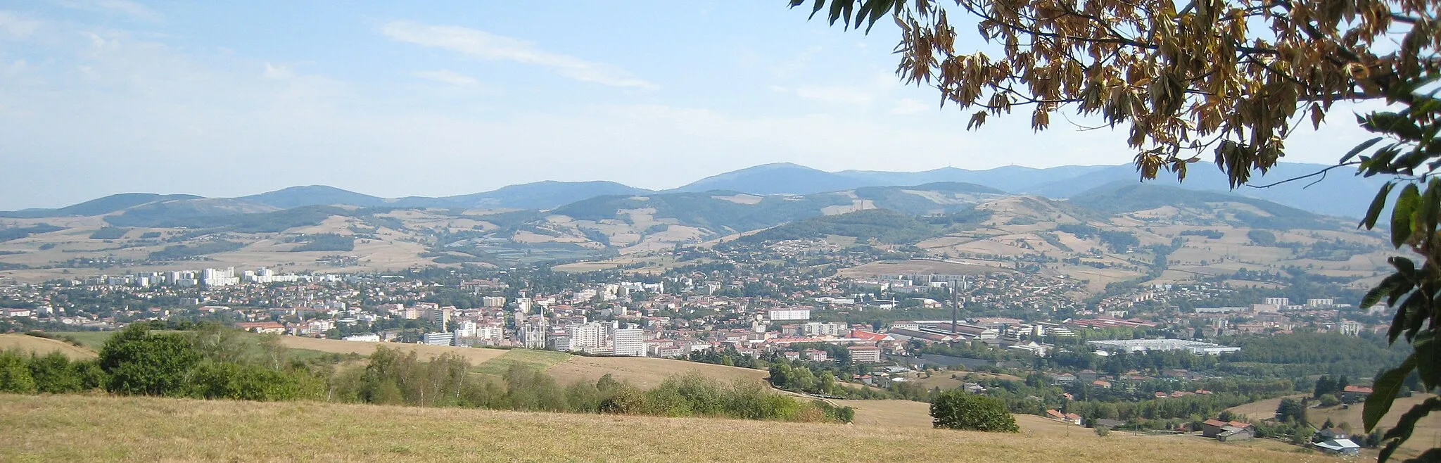
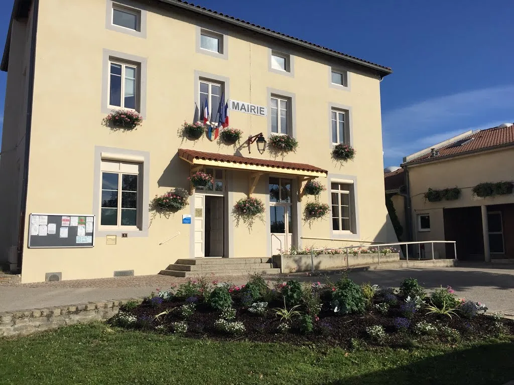
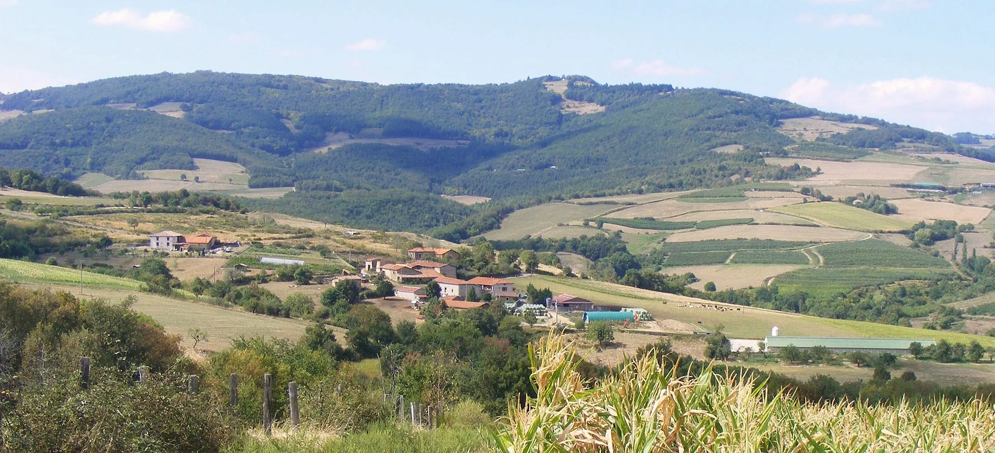
Saint-Chamond is a picturesque town located in the Rhône-Alpes region of France. Cyclists will appreciate the locality's beautiful landscapes and peaceful roads, which are perfect for enjoying a leisurely ride. Saint-Chamond is situated near the Parc Naturel Régional du Pilat, a regional natural park known for its stunning scenery and outdoor activities. The park offers various cycling and mountain biking trails suitable for all skill levels. Additionally, the town is surrounded by the renowned vineyards of the Côtes-du-Rhône wine region, providing an opportunity to indulge in wine tasting after a fulfilling ride. Overall, Saint-Chamond is an excellent destination for cyclists seeking tranquility, natural beauty, and a delightful wine experience.
The Gravel Escape
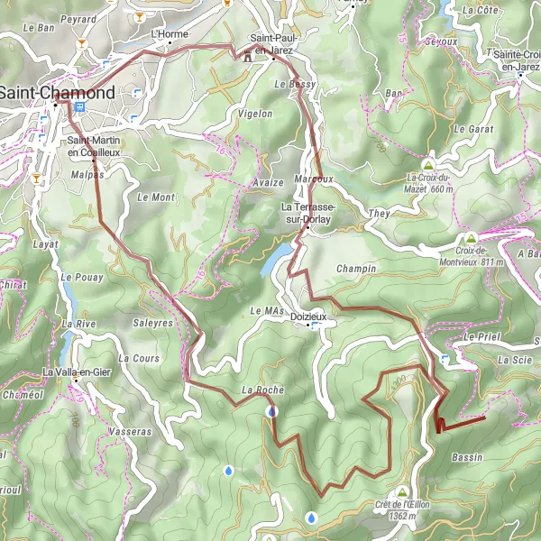
Discover the hidden gems and scenic beauty with this gravel cycling route near Saint-Chamond
Embark on a picturesque cycling journey through the serene countryside on this gravel route near Saint-Chamond. With an ascent of 1194m and a distance of 44km, this route is suitable for intermediate-level cyclists seeking a mix of challenges and beautiful landscapes. Highlights along the way include Saint-Paul-en-Jarez, Doizieux, Crêt de l'Œillon, and Saint-Chamond itself.
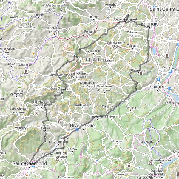
Experience the scenic beauty of Rhône-Alpes on this challenging road cycling route from Saint-Chamond to L'Horme and back
This road cycling route takes you through picturesque landscapes, challenging ascents, and charming villages. Starting from Saint-Chamond, you'll ride through Cellieu, Grand Châtelard, and Saint-André-la-Côte before reaching the summit of Crêt du Bouchat. The highlight of the route is the beautiful town of Brignais, where you can take a break and explore its historic sites. The route continues to Chassagny and Rive-de-Gier before heading back to Saint-Chamond. With a total ascent of 1476 meters, this route is perfect for experienced cyclists looking for a challenge.
The Hilly Adventure
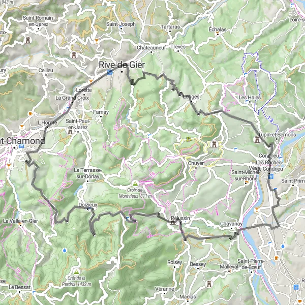
Experience the thrill of conquering challenging climbs and scenic descents on this road cycling route near Saint-Chamond
Get ready to push your limits as you tackle the undulating terrain of this road cycling route near Saint-Chamond. With an ascent of 1599m over a distance of 78km, this route is suited for experienced cyclists seeking a challenge. Highlights along the way include Lorette, Longes, Crêt de Chassenoud, Saint-Clair-du-Rhône, Pélussin, and Doizieux.
Discover the hidden gems and natural wonders on this challenging gravel route near Saint-Chamond
Embark on an unforgettable journey through unspoiled landscapes and charming villages on this gravel route near Saint-Chamond. With an ascent of 1884m over a distance of 82km, this route is suitable for experienced cyclists seeking a thrilling adventure. Highlights include Rochetaillée, Saint-Romain-les-Atheux, Saint-Ferréol-d'Auroure, Saint-Étienne, and Saint-Chamond.
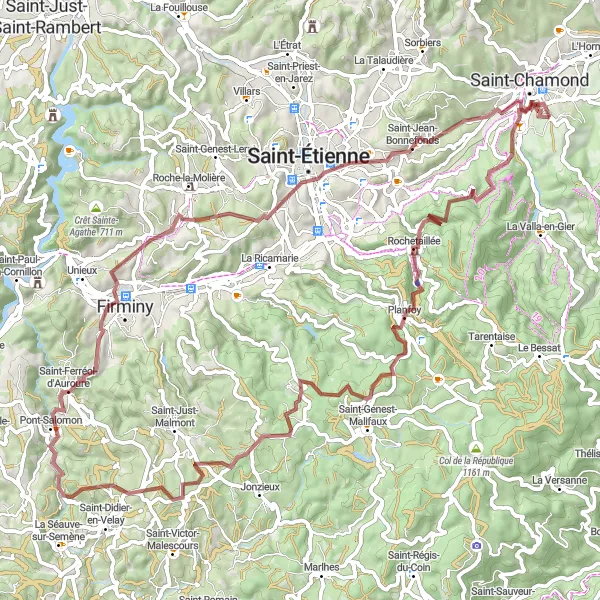
Embark on an epic road cycling adventure from Saint-Chamond to Saint-Genest-Malifaux and back, traversing legendary climbs and stunning landscapes.
This epic road cycling route is a true test of endurance, taking you through challenging ascents, breathtaking descents, and picturesque landscapes. Starting from Saint-Chamond, you'll pass through Doizieux and Crêt de l'Œillon before reaching Saint-Julien-Molin-Molette and Boulieu-lès-Annonay. The route continues to Saint-Romain-d'Ay before tackling the famous Col de Juvenet. You'll then cycle through Pailharès and Col du Buisson, experiencing the thrill of cycling these legendary climbs. After descending, the route takes you through Saint-Bonnet-le-Froid, Col des Baraques, and Riotord before returning to Saint-Chamond. With a total ascent of 3693 meters, this route is only suitable for highly trained cyclists seeking a truly challenging and legendary adventure.
The Gravel Adventure
Explore the rugged terrains and picturesque landscapes on this gravel route near Saint-Chamond
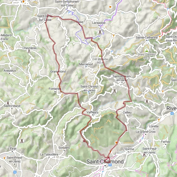
Get ready to experience a thrilling adventure as you tackle the challenging terrains of this gravel route near Saint-Chamond. With a total ascent of 1551m over a distance of 52km, this route promises to test your endurance and skills. Prepare yourself for stunning views of the Crêt Saint-Georges, Valfleury, Coise, Crêt Malherbe, and Cellieu along the way.
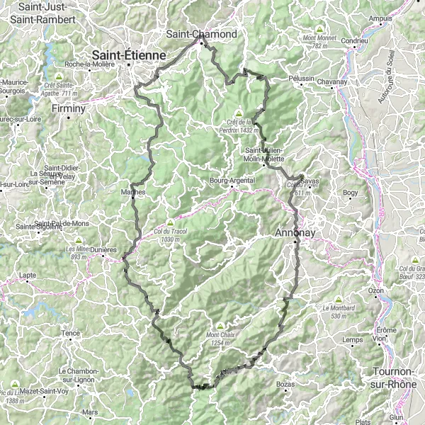
Discover the adventurous side of Rhône-Alpes with this gravel cycling route from Saint-Chamond to Saint-Pierre-de-Bœuf and back
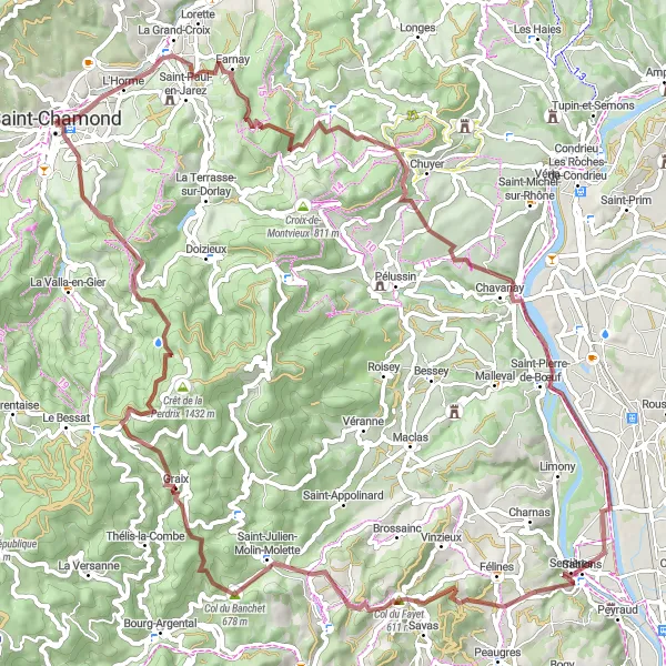
This gravel cycling route explores the rugged beauty of Rhône-Alpes, combining challenging terrain with picturesque landscapes. Starting from Saint-Chamond, you'll ride through Saint-Paul-en-Jarez and La Croix-du-Mazet before reaching the idyllic village of Saint-Pierre-de-Bœuf. The route continues to Serrières, offering stunning views of the Rhône River, before reaching the challenging climb of Col du Fayet. After descending, you'll pedal through Graix and Crêt de la Perdrix before returning to Saint-Chamond. With a total ascent of 2019 meters, this route is ideal for adventurous cyclists seeking a unique gravel riding experience.
Embark on this challenging road cycling route from Saint-Chamond to Roisey and back, featuring scenic landscapes and thrilling climbs.
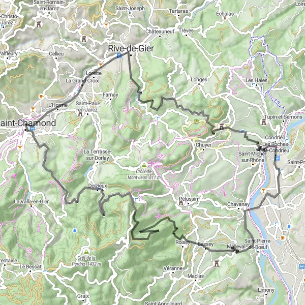
This road cycling route takes you through diverse landscapes, quaint villages, and challenging climbs. Starting from Saint-Chamond, you'll pass through Lorette and Crêt de Longes before reaching the charming village of La Chapelle-Villars. The route continues to Saint-Clair-du-Rhône and Roisey, offering stunning views along the way. The highlight of the route is the ascent to Crêt de l'Œillon, a challenging climb rewarded with breathtaking panoramic views. After descending, you'll pedal through Doizieux before returning to Saint-Chamond. With a total ascent of 1786 meters, this route is recommended for experienced cyclists seeking a tough challenge.
The Road Warrior
Embark on an epic road cycling journey with breathtaking views near Saint-Chamond
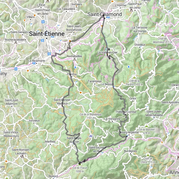
Prepare for an adrenaline-packed adventure as you conquer steep ascents and thrilling descents on this road cycling route near Saint-Chamond. With an ascent of 1885m and a distance of 82 km, this route is perfect for experienced cyclists looking for a challenge. Along the way, you'll be rewarded with stunning highlights such as La Valla-en-Gier, Croix de Chaubouret, Bourg-Argental, Col du Tracol, Saint-Régis-du-Coin, Planfoy, Belvédère du Guizay, and Terrenoire.
Experience the thrill of cycling through the beautiful countryside with the gravel bike route starting near Saint-Chamond.
Embark on an exciting gravel adventure starting near Saint-Chamond in Rhône-Alpes, France. This challenging route covers a distance of 102 km with a total ascent of 1959m. Take in the picturesque scenery and explore highlights such as Lorette, Châteauneuf, Vienne, Les Côtes-d'Arey, and Saint-Alban-du-Rhône.
Cycling routes nearby:

Nearby regions: