The Gravel Adventure
A gravel cycling route starting from Saint-Chamond
Explore the rugged terrains and picturesque landscapes on this gravel route near Saint-Chamond
Map
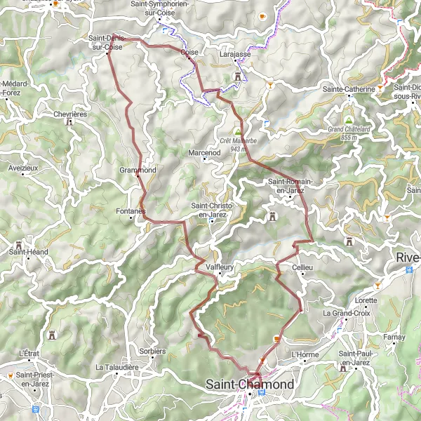
Get ready to experience a thrilling adventure as you tackle the challenging terrains of this gravel route near Saint-Chamond. With a total ascent of 1551m over a distance of 52km, this route promises to test your endurance and skills. Prepare yourself for stunning views of the Crêt Saint-Georges, Valfleury, Coise, Crêt Malherbe, and Cellieu along the way.
gravel
52 km
1551 m
Tough
Route profile
Highlights on the route
0 km
0 km
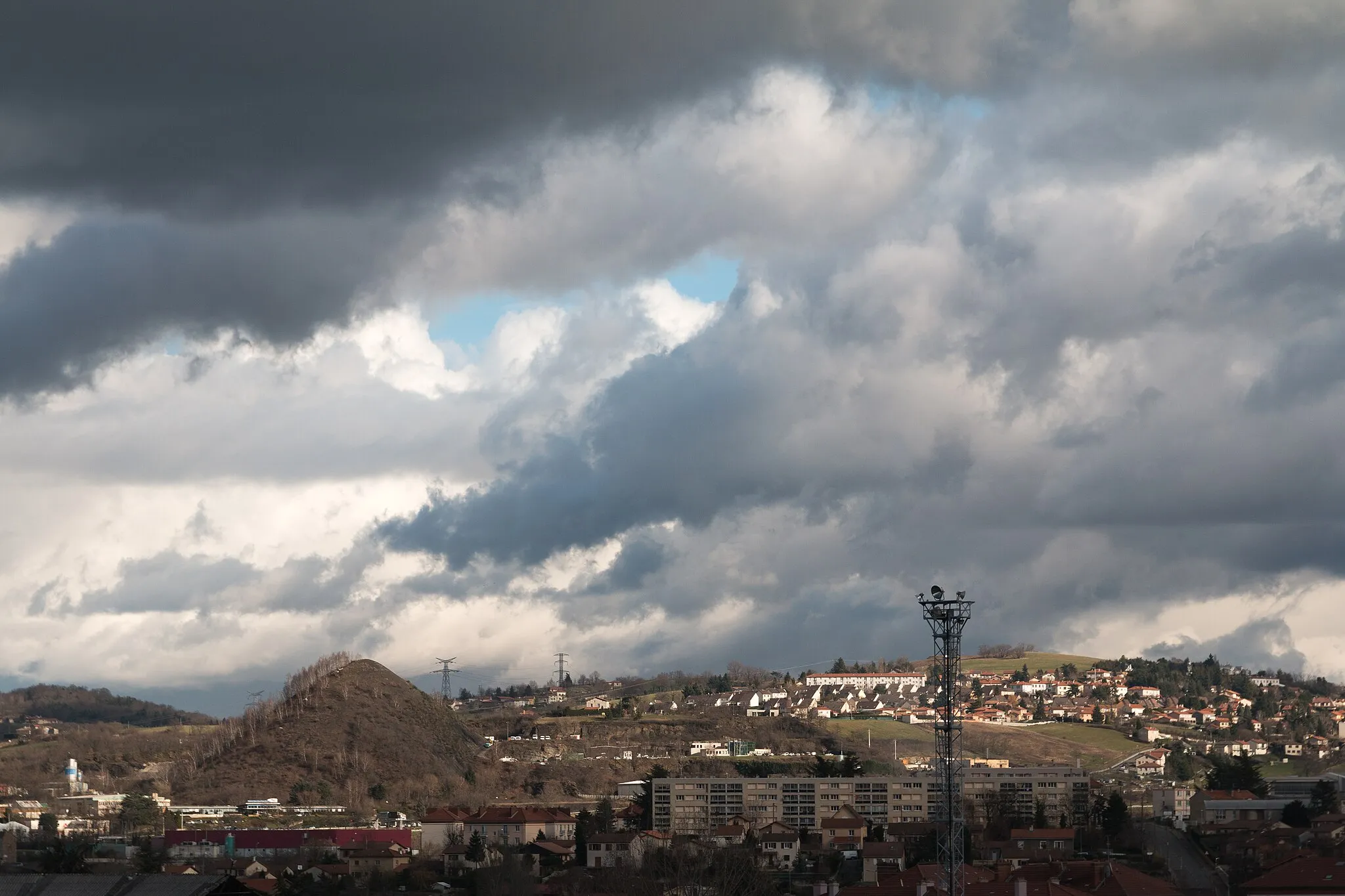
Start: Saint-Chamond City centerSaint-Chamond: Tranquil town near Parc Naturel Régional du Pilat and wine region
Saint-Chamond is a picturesque town located in the Rhône-Alpes region of France. Cyclists will appreciate the locality's beautiful landscapes and peaceful roads, which are perfect for enjoying a leisurely ride. Saint-Chamond is situated near the Parc Naturel Régional du Pilat, a regional natural park known for its stunning scenery and outdoor activities. The park offers various cycling and mountain biking trails suitable for all skill levels. Additionally, the town is surrounded by the renowned vineyards of the Côtes-du-Rhône wine region, providing an opportunity to indulge in wine tasting after a fulfilling ride. Overall, Saint-Chamond is an excellent destination for cyclists seeking tranquility, natural beauty, and a delightful wine experience.8 km
8 km
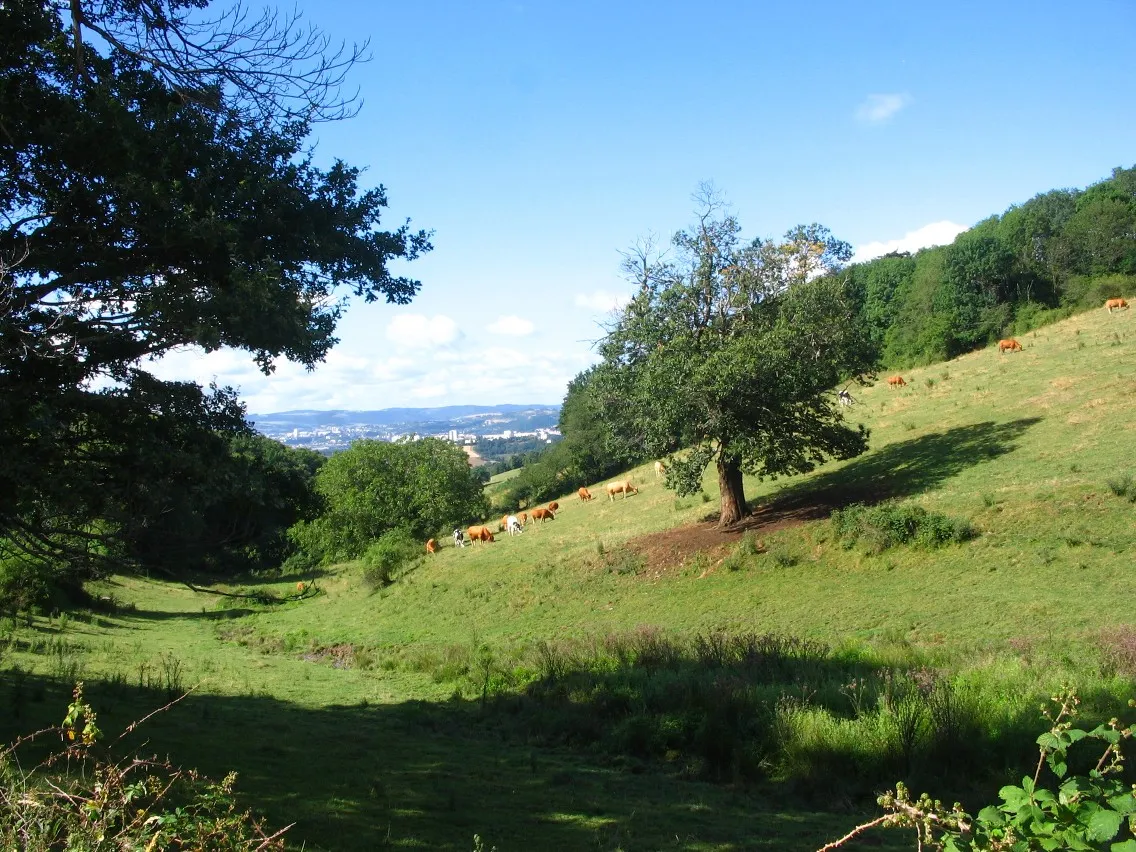
Crêt Saint-Georges817 mPeakCrêt Saint-Georges offers breathtaking panoramic views of the surrounding mountains and valleys.
9 km
9 km
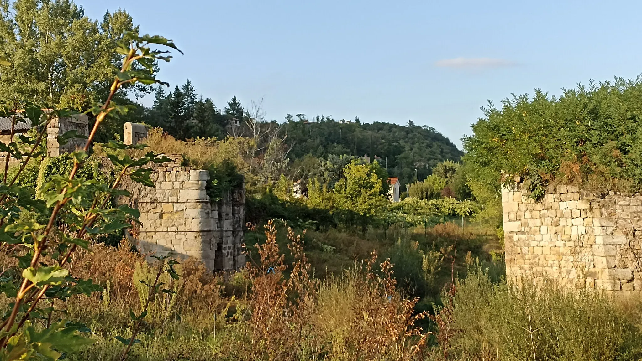
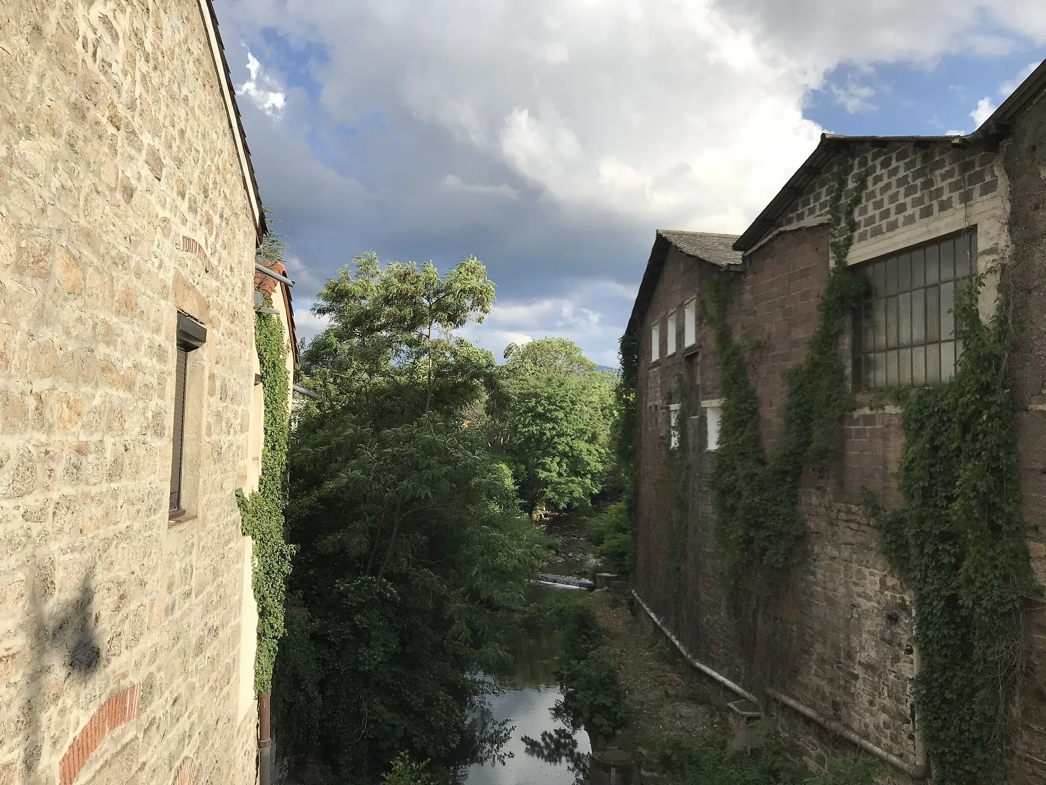
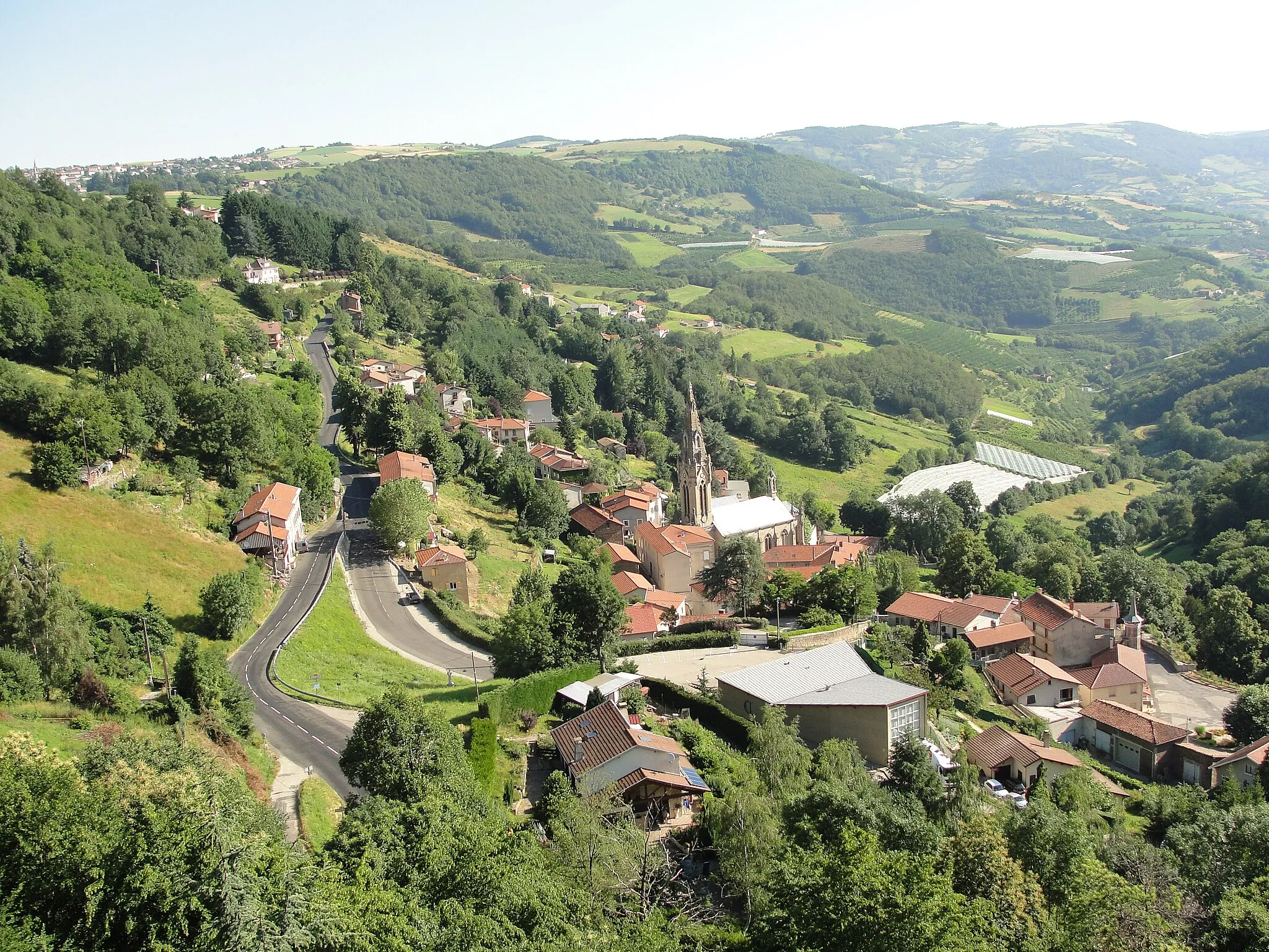
ValfleuryVillageValfleury is a charming village known for its beautiful medieval architecture and picturesque streets.
28 km
28 km
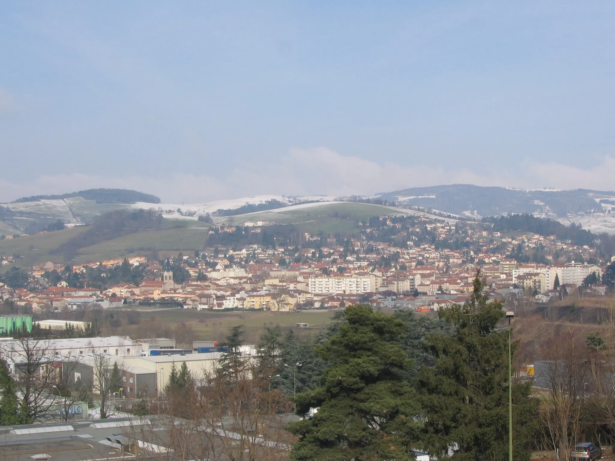
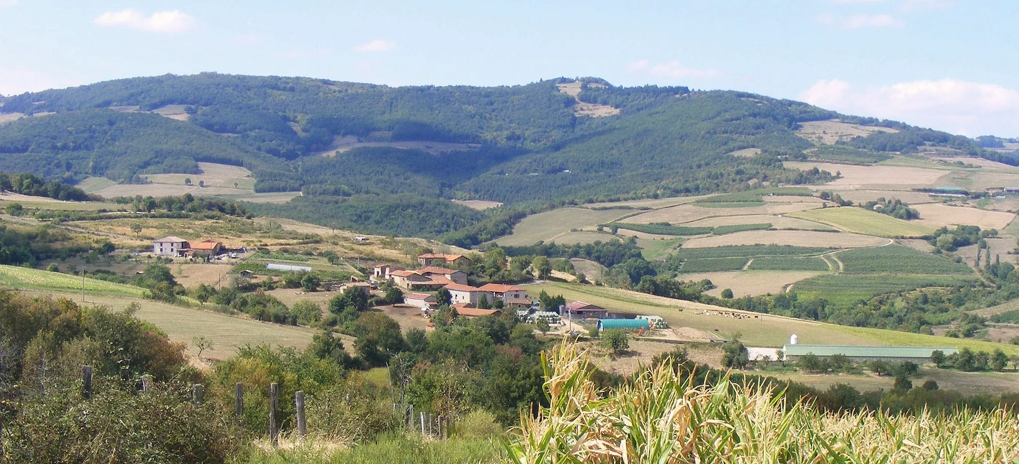
CoiseVillageCoise is a hidden gem with its quaint countryside setting and historic buildings.
34 km
34 km
Crêt Malherbe943 mPeakCrêt Malherbe is a popular spot for hikers and cyclists, offering stunning vistas of the Rhône-Alpes region.
43 km
43 km
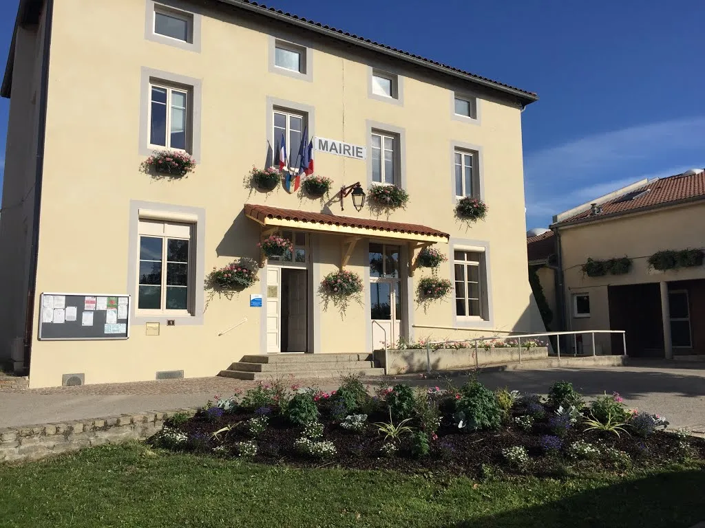
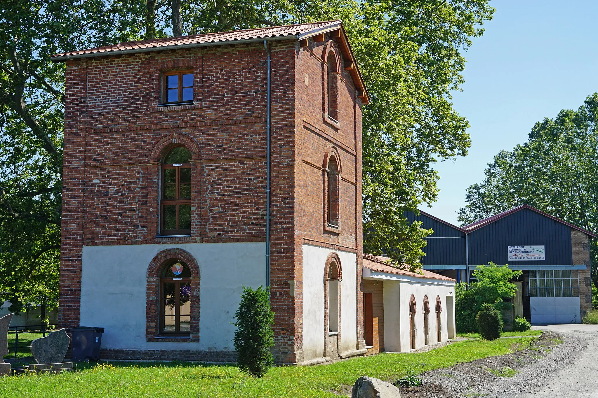
CellieuVillageExplore the scenic village of Cellieu, known for its ancient church and charming market square.
52 km
52 km
Finish: Saint-Chamond City centerSaint-Chamond: Tranquil town near Parc Naturel Régional du Pilat and wine region
Cycling routes from Saint-Chamond:
Road cycling route from Saint-Chamond to L'Horme and back The Hilly Adventure The Gravel Adventure Gravel cycling route from Saint-Chamond to Saint-Pierre-de-Bœuf and back The Gravel Escape The Road Warrior Epic road cycling route from Saint-Chamond to Saint-Genest-Malifaux and back Côtes-d'Arey Adventure The Gravel Explorer Road cycling route from Saint-Chamond to Roisey and back
Cycling routes nearby: