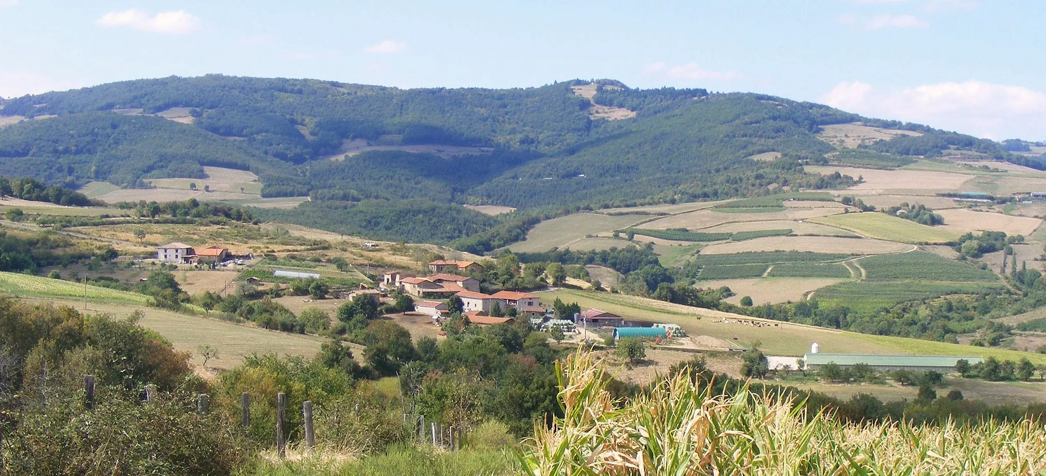
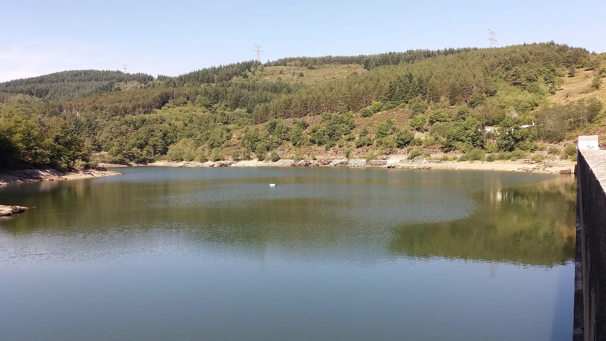
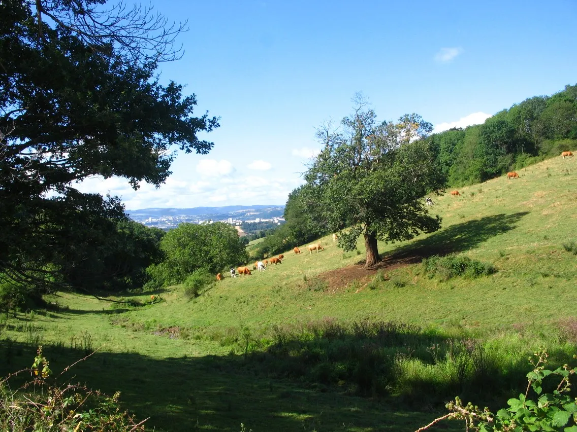
Exploring the scenic Pilat Regional Natural Park on diverse routes.
Cycling routes from La Grand-Croix
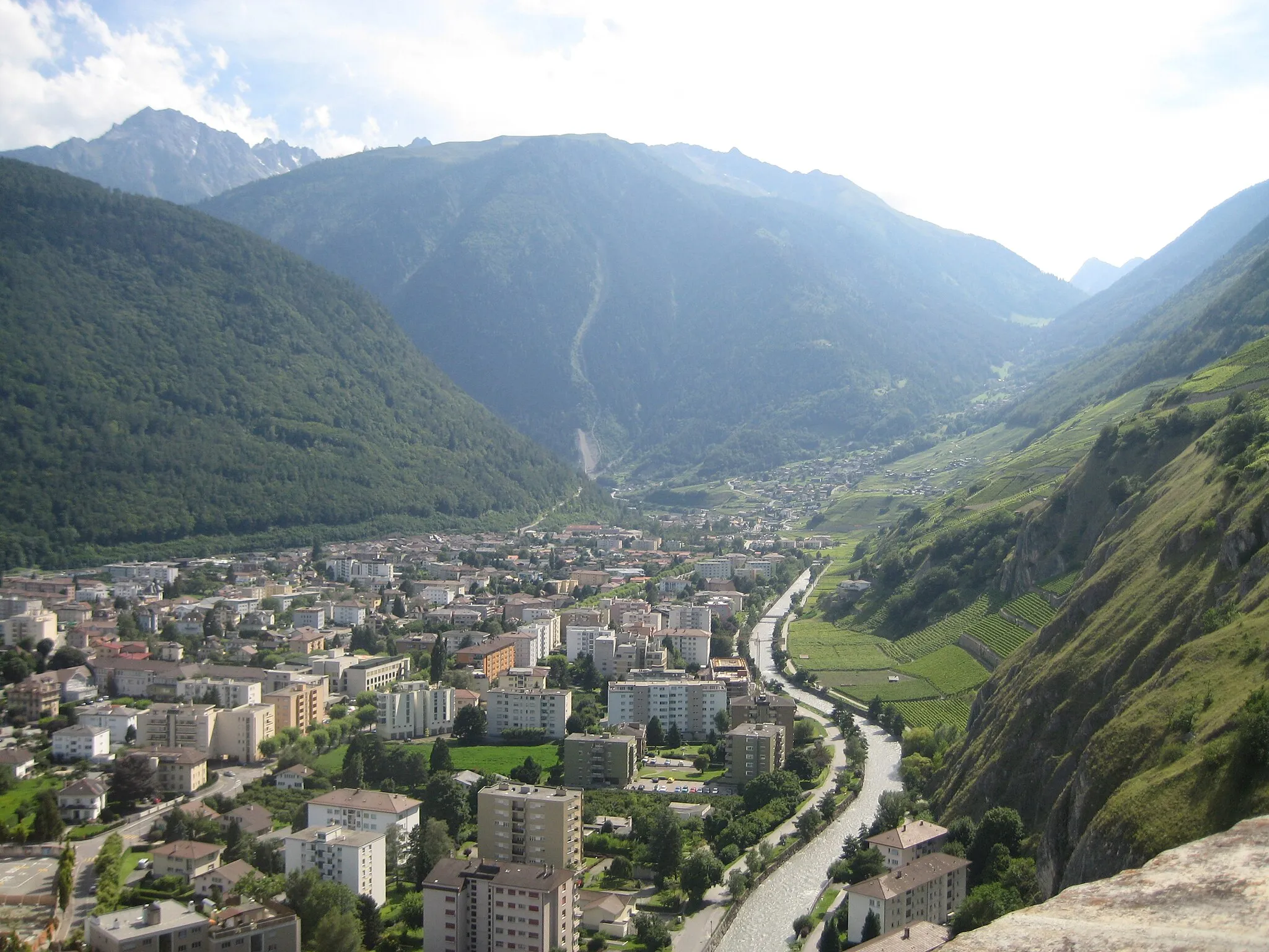
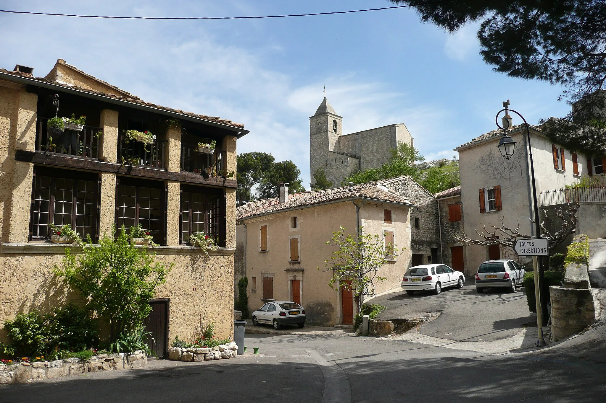
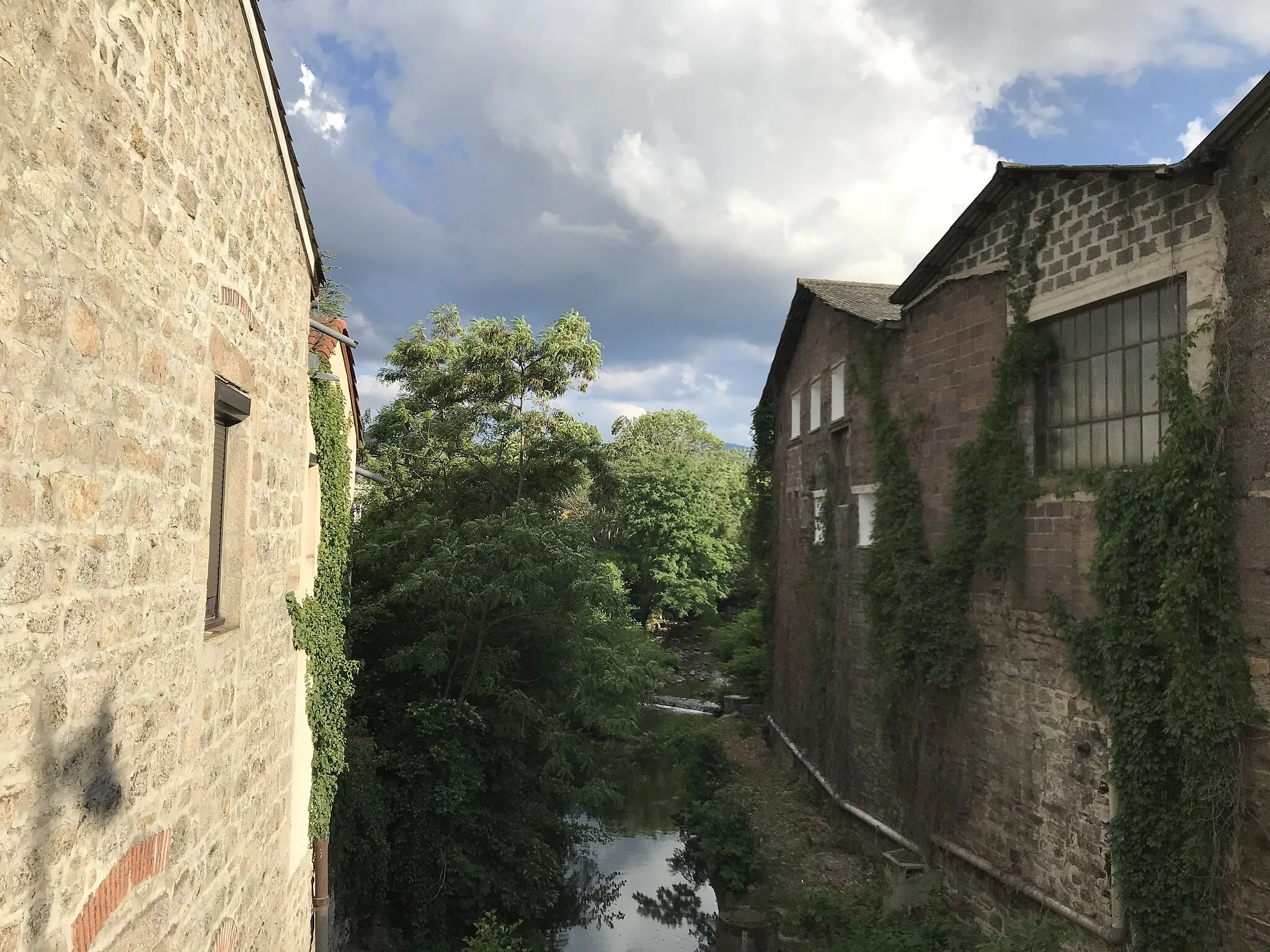
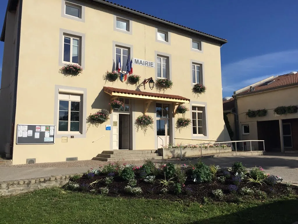
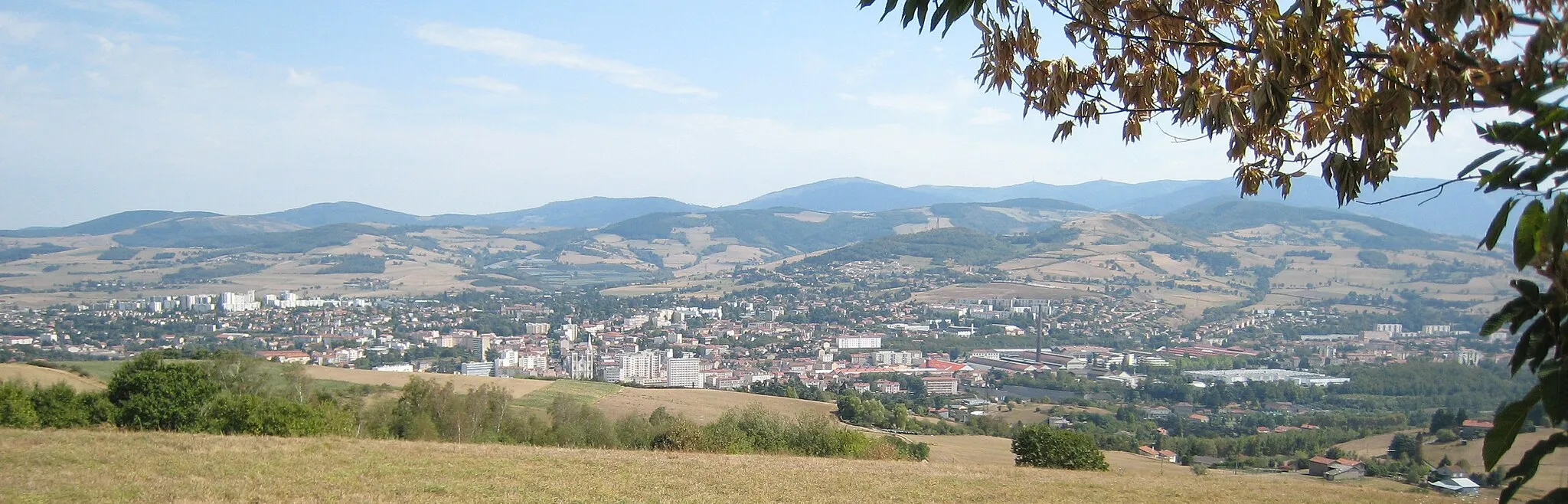
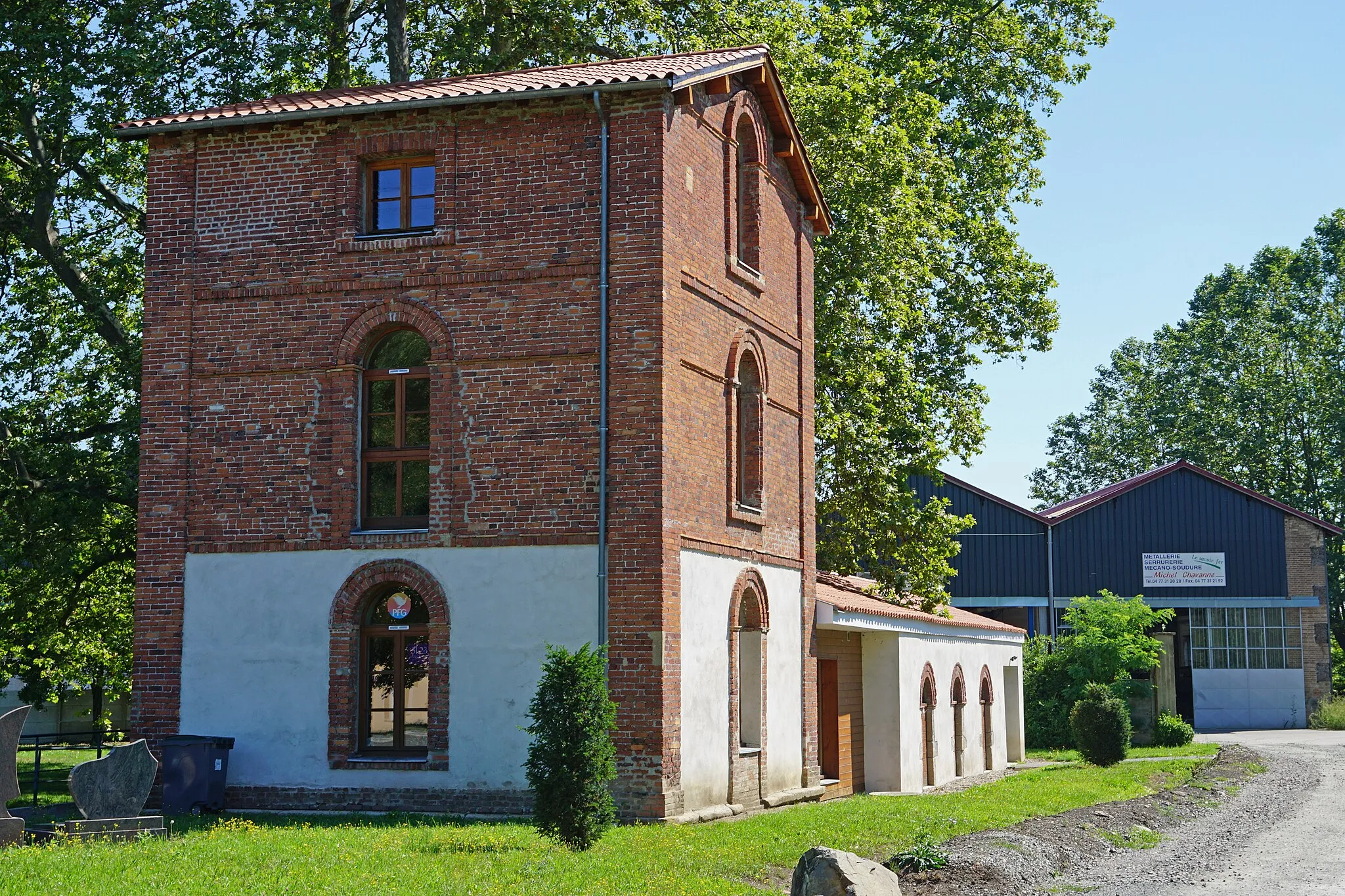
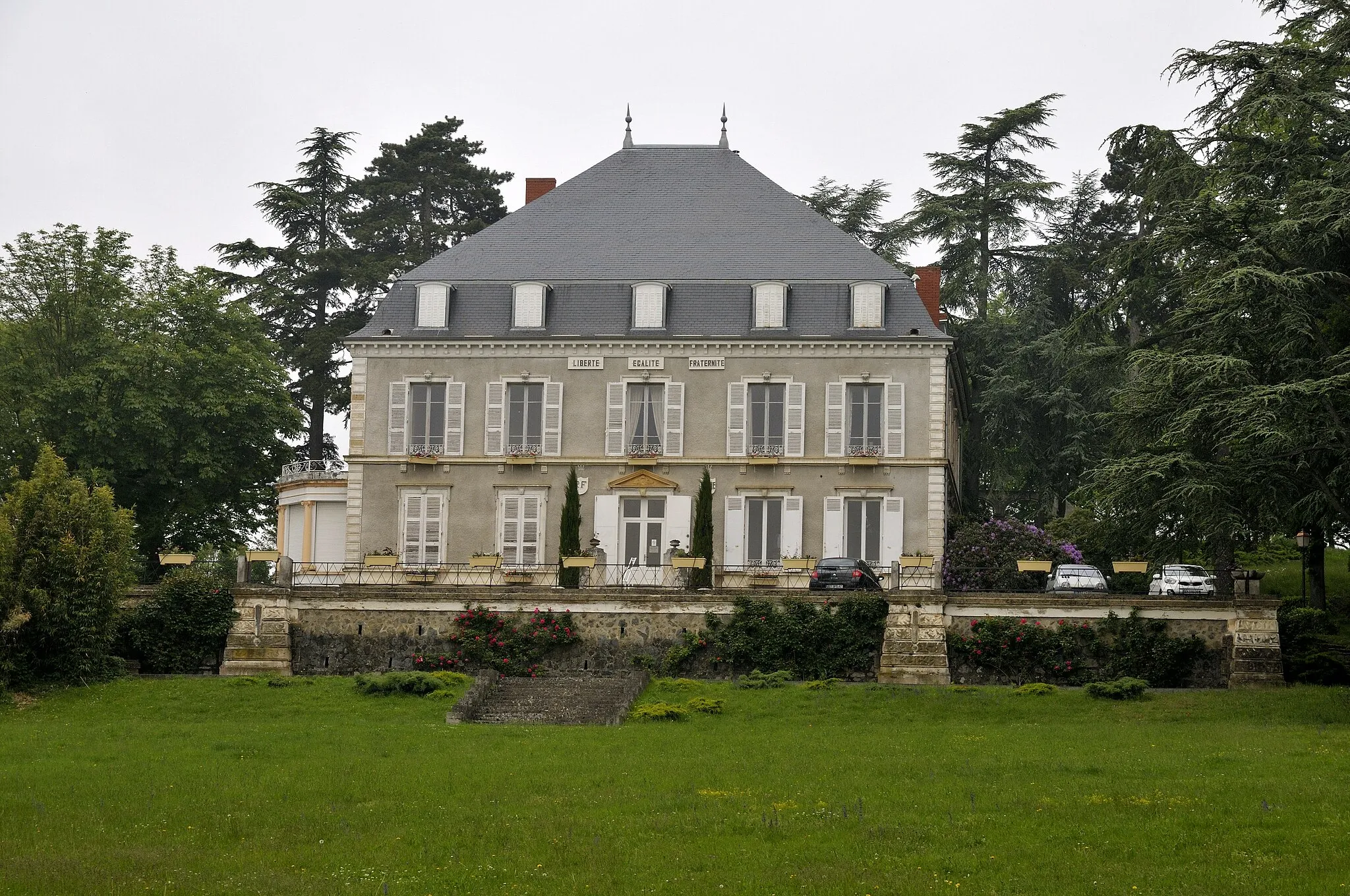
La Grand-Croix is situated in the Rhône-Alpes region of France. As a cyclist, you'll find some nice routes around the town, with both flat and hilly sections. La Grand-Croix itself doesn't offer any unique cycling-related spots or famous climbs nearby. However, it serves as a convenient base to explore the scenic surroundings of the Pilat Regional Natural Park. The relatively quiet roads and beautiful landscapes make it a suitable destination for road and gravel cycling enthusiasts.
Conquer challenging climbs in the beautiful Rhône-Alpes region
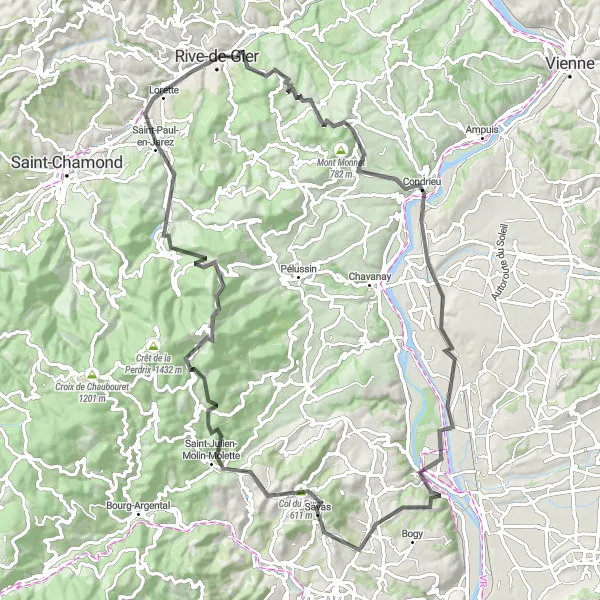
Embark on an epic 97 km journey through the charming towns and breathtaking landscapes of the Rhône-Alpes region. With a total ascent of 1,743 meters, this route is best suited for experienced cyclists. Highlights along the way include Lorette, Crêt de Chassenoud, Saint-Clair-du-Rhône, Point de Vue de la Madone, Peyraud, Col du Fayet, Saint-Julien-Molin-Molette, Crêt de l'Œillon, Doizieux, and La Grand-Croix. This route is rated 4 out of 5 in difficulty and 4 out of 5 in epicness.
Venture off the beaten path with the Gravel Explorer route
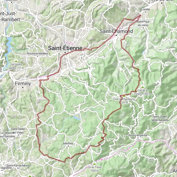
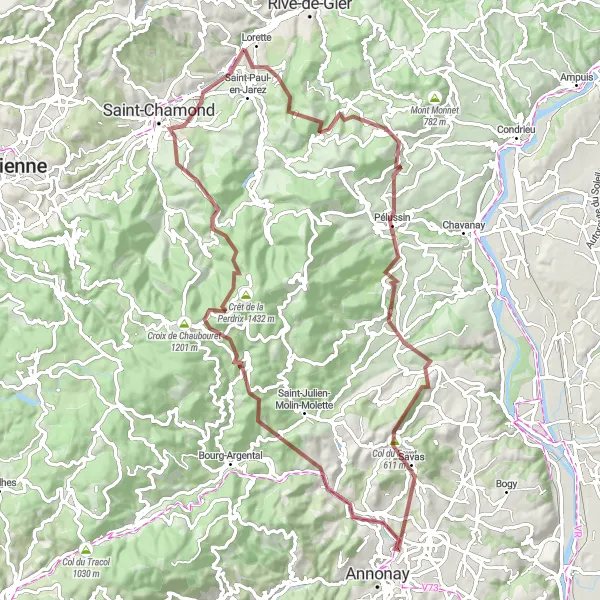
The Gravel Explorer is a scenic gravel cycling route that starts near La Grand-Croix. With a distance of 100 km and an ascent of 2149 meters, this route offers a thrilling off-road adventure for cyclists seeking a challenge. Highlights along the route include L'Horme, Crêt de la Perdrix, and Saint-Just-Malmont. With a difficulty rating of 4 and an epicness rating of 4, the Gravel Explorer promises a memorable and unique cycling experience.
The Poncin Loop
Explore the scenic beauty of Crêt Poncin on the Poncin Loop
The Poncin Loop is a short yet captivating gravel cycling route starting near La Grand-Croix. With a distance of 31 km and an ascent of 996 meters, this route offers a satisfying adventure for cyclists of all levels. The highlight of this route is the scenic Crêt Poncin, a picturesque summit with panoramic views. With a difficulty rating of 2 and an epicness rating of 3, the Poncin Loop promises a rewarding and enjoyable cycling experience.
A thrilling gravel route with challenging climbs and breathtaking views
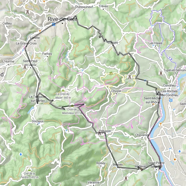
This gravel route takes you through the stunning Rhône-Alpes region, offering a challenging climb up Crêt Poncin and the beautiful Col des Brosses. The route covers a distance of 101km, with a total ascent of 2703m. It is suitable for gravel bikes and provides a unique adventure for cycling enthusiasts. Discover picturesque towns and enjoy the scenic landscapes along this exciting route.
Conquer the challenging climbs and breathtaking views of Montvieux
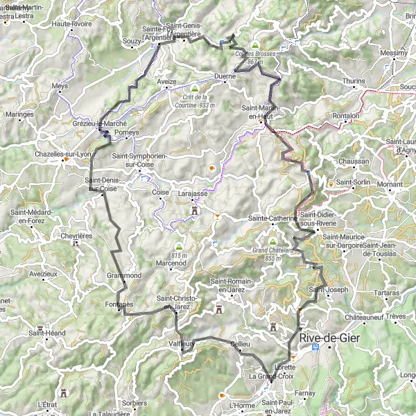
The Montvieux Challenge is a demanding road cycling route starting near La Grand-Croix. With a total distance of 114 km and an elevation gain of 1603 meters, this route offers a thrilling experience for well-trained amateur cyclists. Highlights along the way include Les Haies, Reventin-Vaugris, and Maclas. With a difficulty rating of 4 and an epicness rating of 4, the Montvieux Challenge promises an unforgettable cycling adventure.
Cycle through beautiful landscapes and challenging climbs
This road cycling route starting near La Grand-Croix in Rhône-Alpes, France offers a mix of stunning landscapes and challenging climbs. With a total distance of 68 kilometers and an ascent of 1074 meters, this route promises an exciting adventure for well-trained amateurs.
Embark on an exhilarating journey through the scenic landscapes of Sainte-Foy
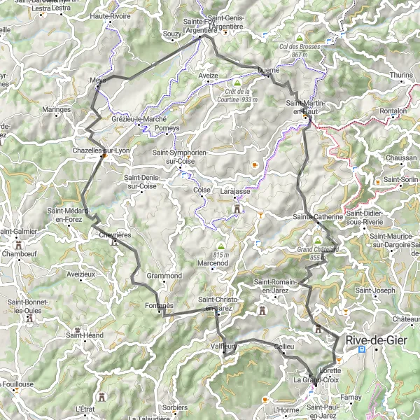
The Sainte-Foy Adventure is a thrilling road cycling route that starts near La Grand-Croix. With a distance of 84 km and an ascent of 1668 meters, this route offers a challenging yet rewarding experience for well-trained amateur cyclists. As you ride through the picturesque countryside, you will come across highlights such as Crêt Saint-Georges, Saint-Christo-en-Jarez, and Sainte-Catherine. With a difficulty rating of 3 and an epicness rating of 4, the Sainte-Foy Adventure promises an unforgettable cycling experience.
The Cellieu Loop
Experience the stunning beauty and challenging climbs of the Cellieu Loop
The Cellieu Loop is a challenging and scenic cycling route starting near La Grand-Croix. With a total distance of 94 km and an elevation gain of 2012 meters, this road cycling route offers a thrilling adventure for well-trained amateur cyclists. Throughout the ride, you will encounter highlights such as the picturesque town of Cellieu and the historic Crêt Saint-Georges. With a difficulty rating of 3 and an epicness rating of 4, the Cellieu Loop promises to be an unforgettable cycling experience.
Embark on a challenging gravel adventure through the diverse landscapes of the Rhône-Alpes
Venture into the wild beauty of the Rhône-Alpes region on this 88 km gravel route. With a thrilling ascent of 2,325 meters, this route offers a challenging adventure for experienced gravel riders. Highlights include Sainte-Croix-en-Jarez, Col de Pavezin, Vinzieux, Col du Fayet, Boulieu-lès-Annonay, Col du Banchet, Crêt de la Perdrix, and Saint-Martin en Coailleux. This route is rated 5 out of 5 in difficulty and 4 out of 5 in epicness.
Experience the breathtaking beauty of the Monts du Pilat
The Les Monts du Pilat Road Cycling Route takes you on a 70 km journey through the stunning landscapes of the Monts du Pilat region. With a total ascent of 1,214 meters, this route offers a challenging ride for well-trained amateurs. You will encounter many highlights along the way, including Lorette, Crêt de Chassenoud, Saint-Pierre-de-Bœuf, Pélussin, Croix-de-Montvieux, and finally La Grand-Croix, where your journey ends. This route is rated 3 out of 5 in difficulty and 4 out of 5 in epicness.
Cycling routes nearby:
Nearby regions: