Les Monts du Pilat Road Cycling Route
A road cycling route starting from La Grand-Croix
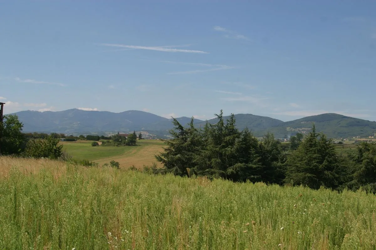
Experience the breathtaking beauty of the Monts du Pilat
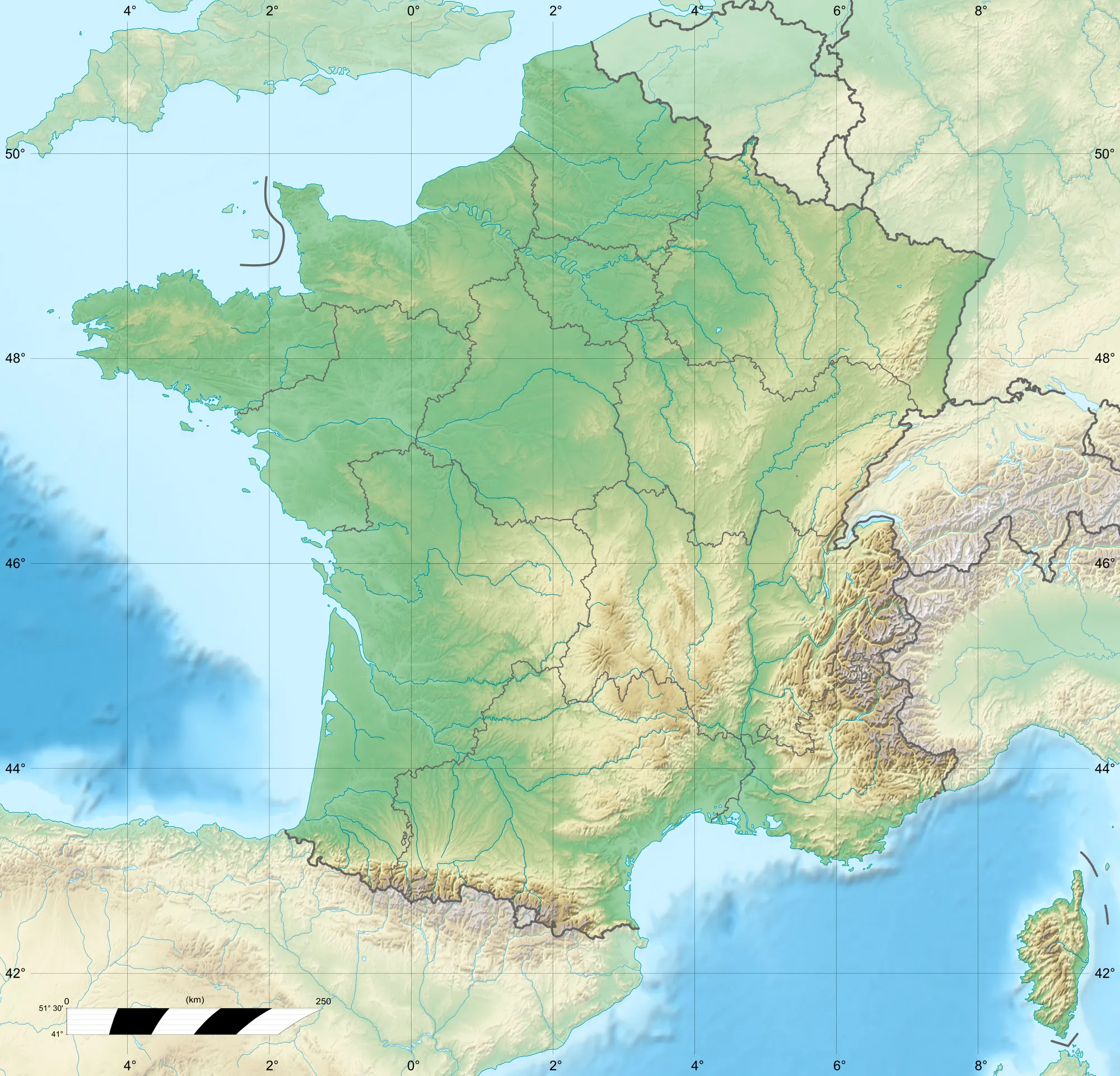
Map
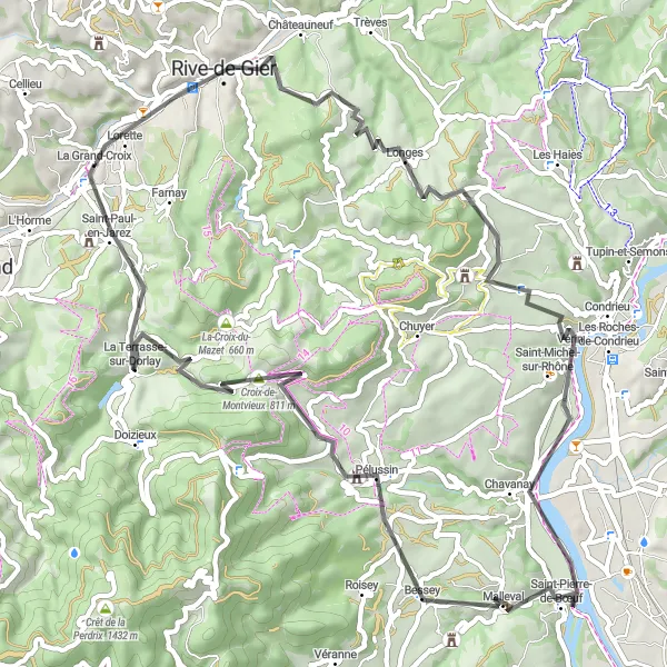
The Les Monts du Pilat Road Cycling Route takes you on a 70 km journey through the stunning landscapes of the Monts du Pilat region. With a total ascent of 1,214 meters, this route offers a challenging ride for well-trained amateurs. You will encounter many highlights along the way, including Lorette, Crêt de Chassenoud, Saint-Pierre-de-Bœuf, Pélussin, Croix-de-Montvieux, and finally La Grand-Croix, where your journey ends. This route is rated 3 out of 5 in difficulty and 4 out of 5 in epicness.
road
70 km
1214 m
Tough
Route profile
Highlights on the route
0 km
0 km
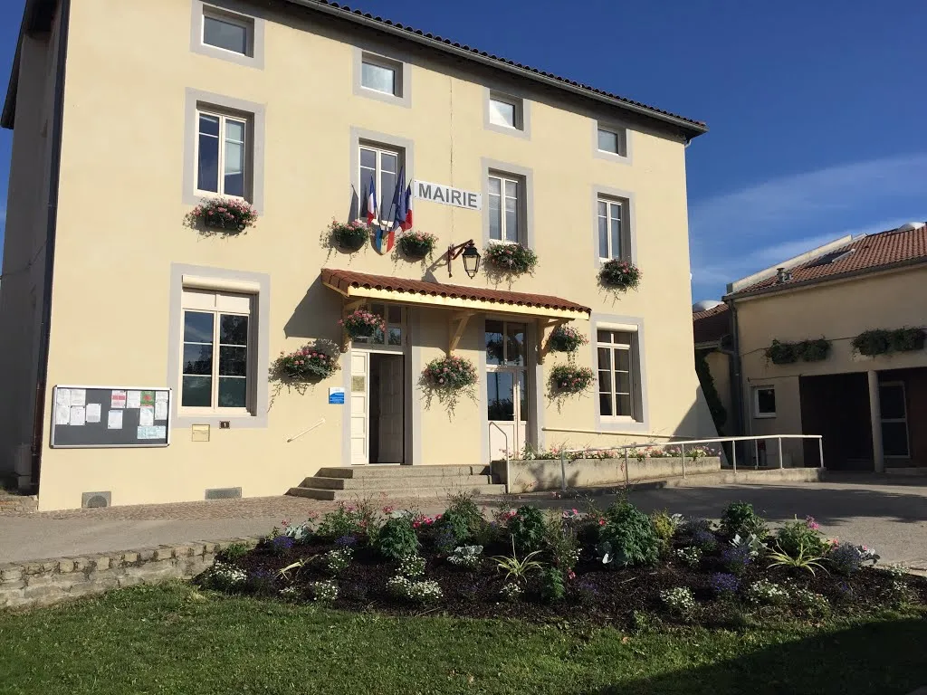
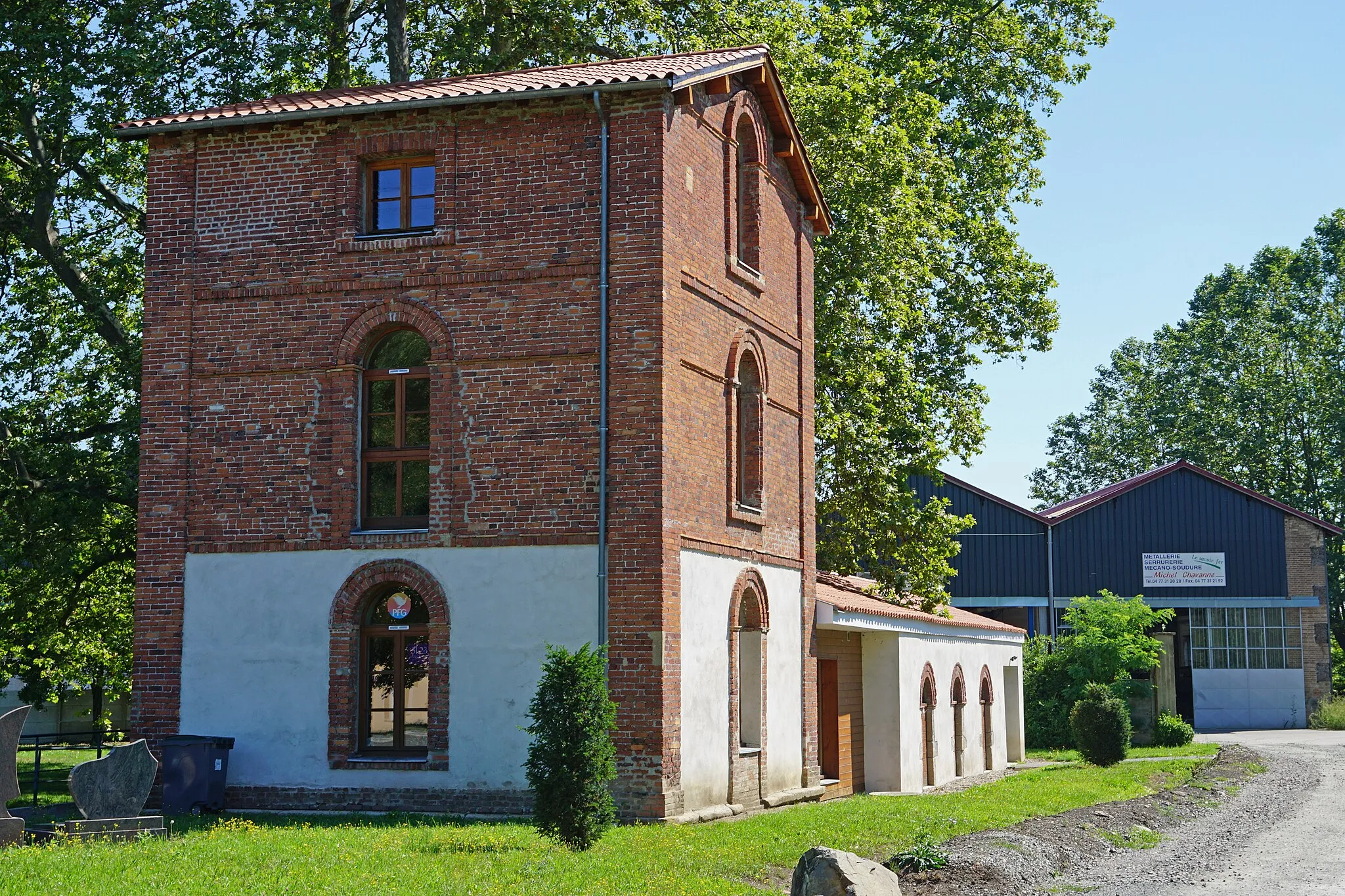
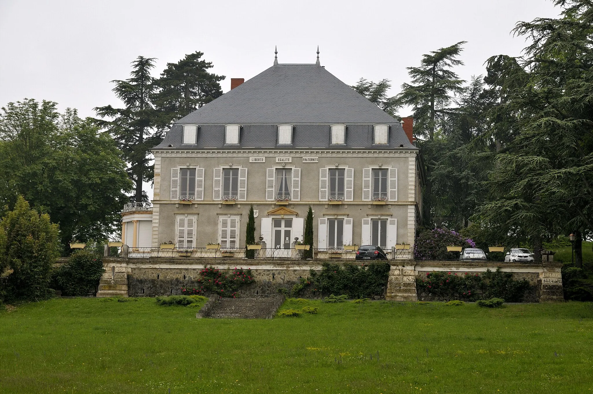
Start: La Grand-Croix Village centerLa Grand-Croix: Exploring the scenic Pilat Regional Natural Park on diverse routes.
La Grand-Croix is situated in the Rhône-Alpes region of France. As a cyclist, you'll find some nice routes around the town, with both flat and hilly sections. La Grand-Croix itself doesn't offer any unique cycling-related spots or famous climbs nearby. However, it serves as a convenient base to explore the scenic surroundings of the Pilat Regional Natural Park. The relatively quiet roads and beautiful landscapes make it a suitable destination for road and gravel cycling enthusiasts. 1 km
1 km
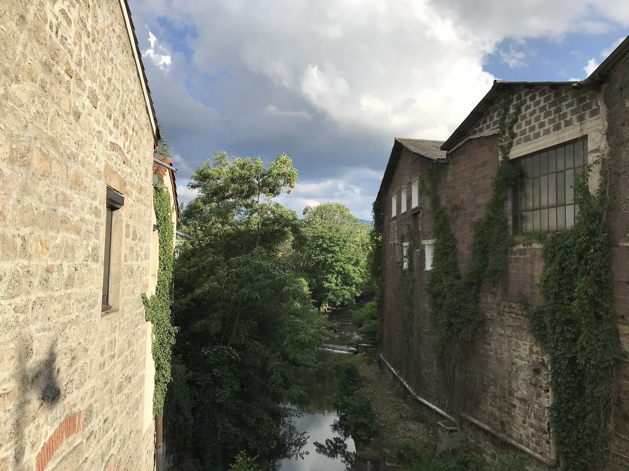
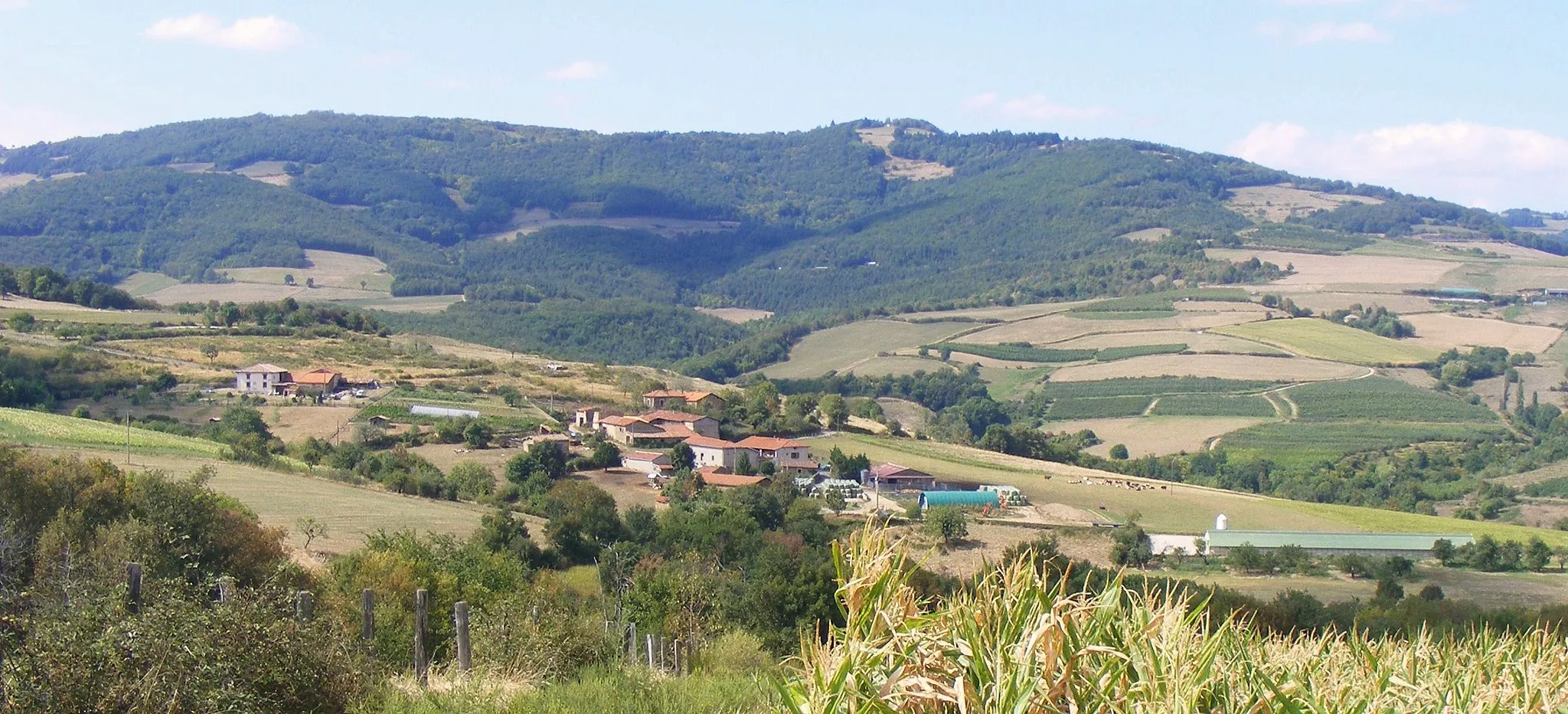
LoretteVillageLorette offers a picturesque village with stunning views of the surrounding countryside.
17 km
17 km
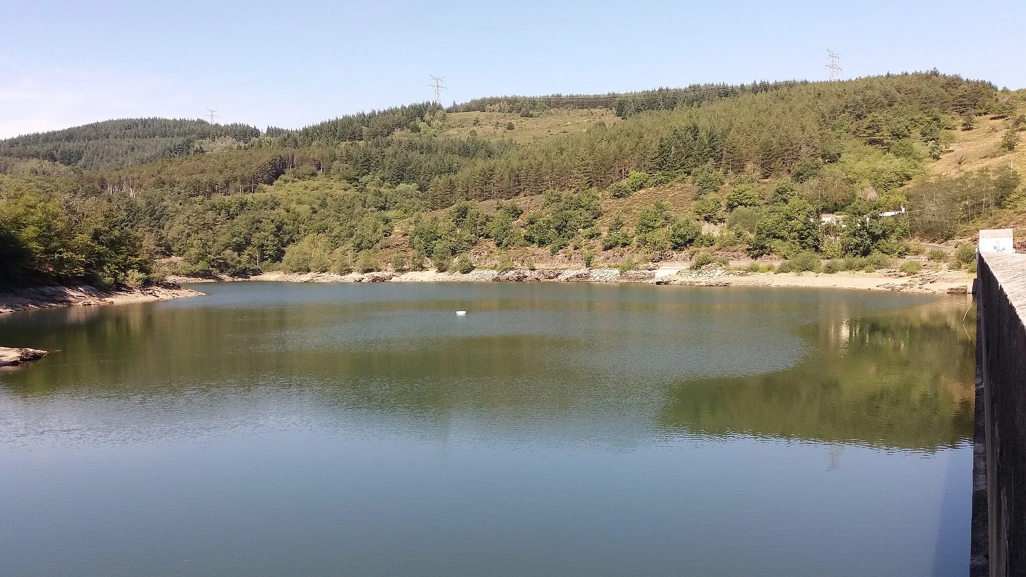
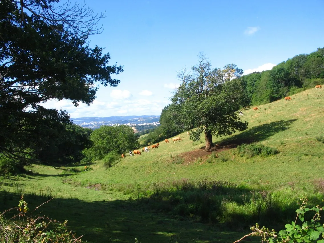
Crêt de Chassenoud758 mPeakCrêt de Chassenoud provides a challenging climb through beautiful forests and rewarding panoramic views at the top.
37 km
37 km
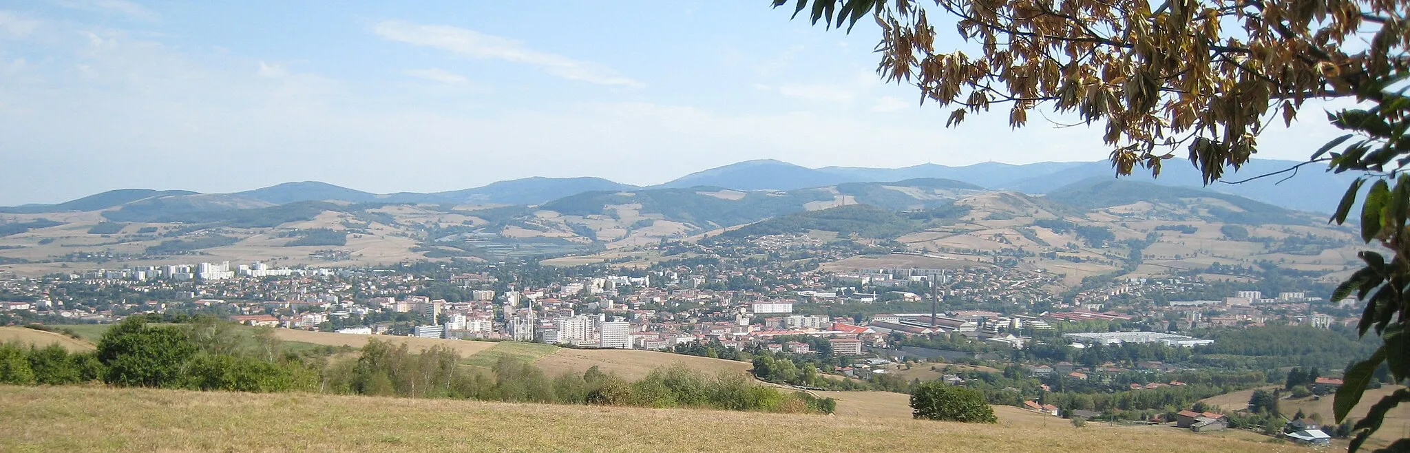
Saint-Pierre-de-BœufVillageSaint-Pierre-de-Bœuf is a charming town located on the banks of the Rhône River, offering a peaceful stopover for cyclists.
47 km
47 km
PélussinVillagePélussin is a historic town known for its medieval architecture and the scenic Rocher du Caire.
55 km
55 km
Croix-de-Montvieux811 mMountain PassCroix-de-Montvieux marks the highest point of the route, offering stunning panoramic views of the surrounding mountains.
70 km
70 km
La Grand-CroixVillageLa Grand-Croix is the starting and ending point of the route, and also provides a convenient base to explore the region further.
70 km
70 km
Finish: La Grand-Croix Village centerLa Grand-Croix: Exploring the scenic Pilat Regional Natural Park on diverse routes.
Cycling routes from La Grand-Croix:
Cycling routes nearby: