Discover Scenic Gravel Routes near Marignier
A gravel cycling route starting from Marignier
Explore the scenic gravel routes near Marignier, passing through charming villages and breathtaking landscapes.
Map
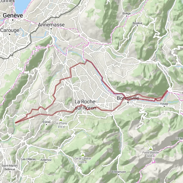
This gravel cycling route offers a distance of 77 km and an ascent of 1055 m. It is suitable for intermediate level gravel riders who enjoy exploring off-the-beaten-path routes with beautiful scenery.
gravel
77 km
1055 m
Tough
Route profile
Highlights on the route
0 km
0 km
Start: Marignier Village centerMarignier: Gateway to the French Alps: Cycling Adventures in Marignier
Marignier is a locality situated in the Rhône-Alpes region of France. While not particularly famous for cycling, Marignier offers a range of road and gravel routes for cyclists to enjoy. The terrain is diverse, featuring flat stretches, climbs, and rolling hills, which cater to various skill levels. The locality is also located near several renown cycling spots in the French Alps, making it a convenient base for cyclists looking to explore the challenging mountain routes in the region. With its proximity to the mountains and cyclist-friendly environment, Marignier is a suitable choice for riders looking to tackle steep climbs and breathtaking descents.13 km
13 km
Saint-Pierre-en-FaucignyVillageDiscover the beauty of Saint-Pierre-en-Faucigny, a charming town known for its well-preserved medieval architecture and stunning mountain views.
36 km
36 km
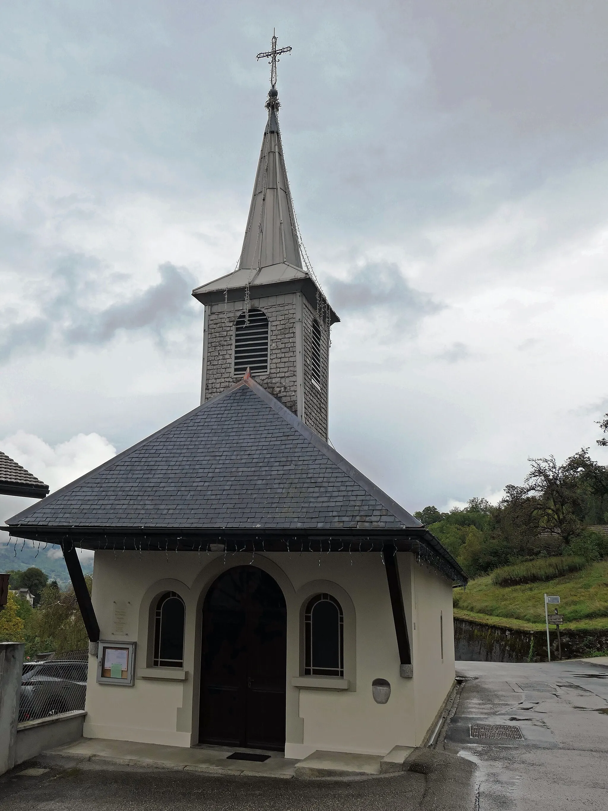
Menthonnex-en-BornesVillageMenthonnex-en-Bornes is an idyllic village surrounded by rolling hills and picturesque landscapes.
49 km
49 km
PanoramaViewpointPanorama offers breathtaking views of the surrounding countryside, making it a perfect spot for a photo stop.
49 km
49 km
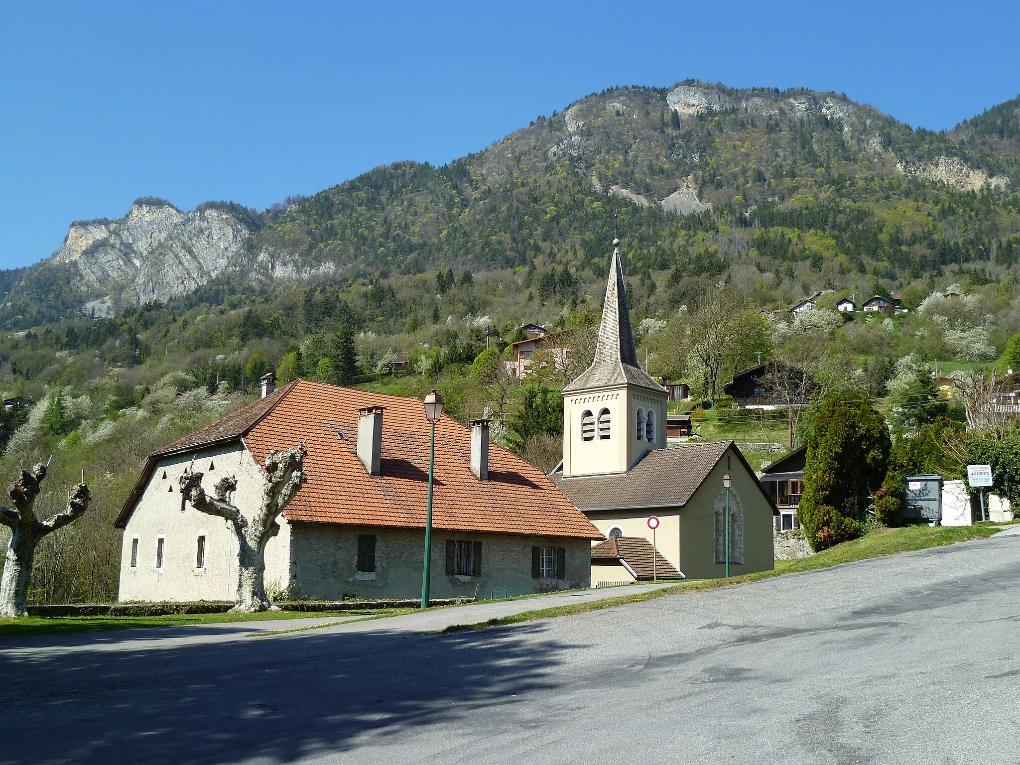
Pers-JussyVillagePers-Jussy is a historic village with narrow streets and charming stone houses, providing a glimpse into the region's past.
58 km
58 km
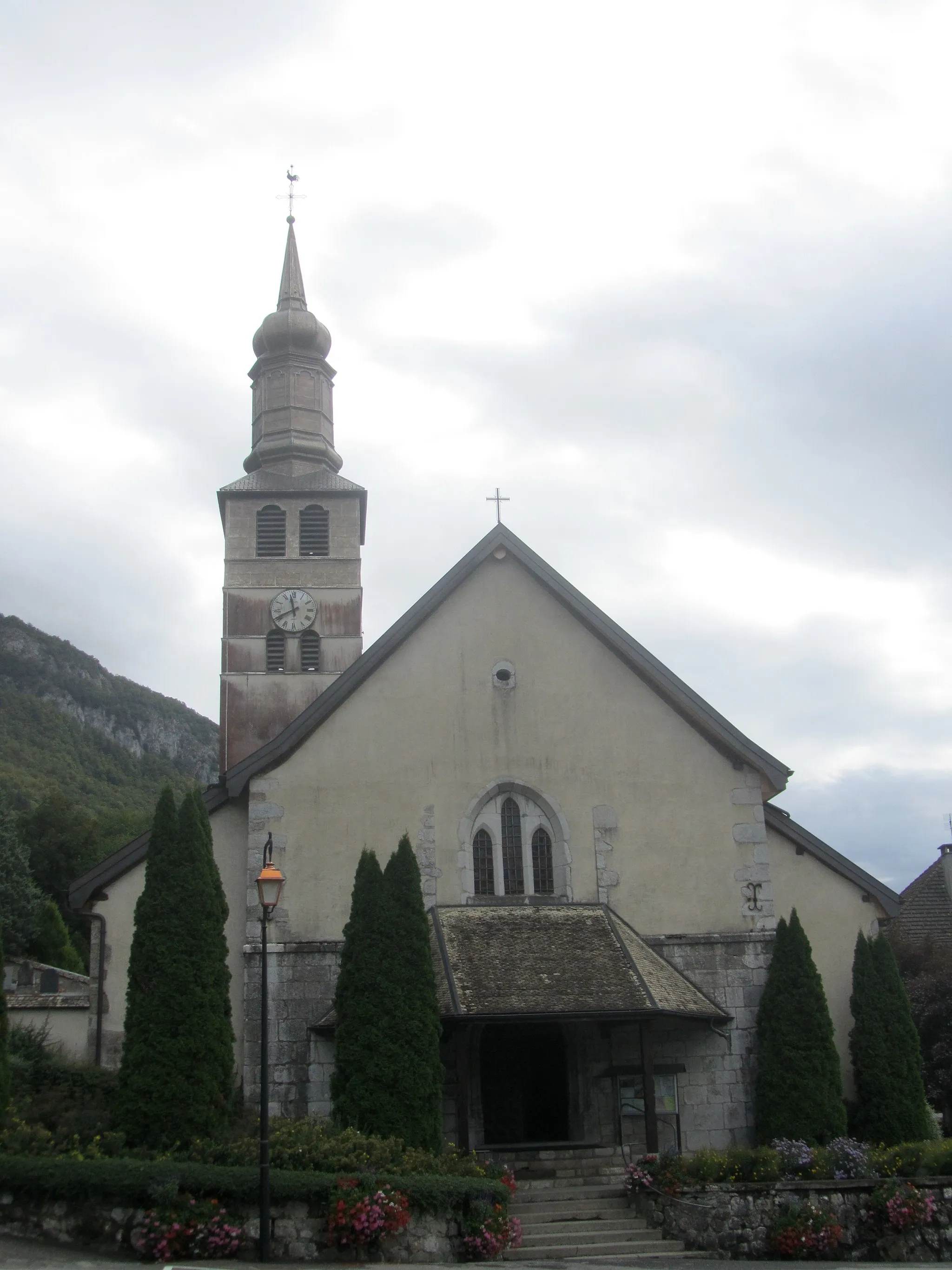
Contamine-sur-ArveVillageContamine-sur-Arve is a peaceful village with beautiful views of the Arve river and surrounding mountains.
71 km
71 km
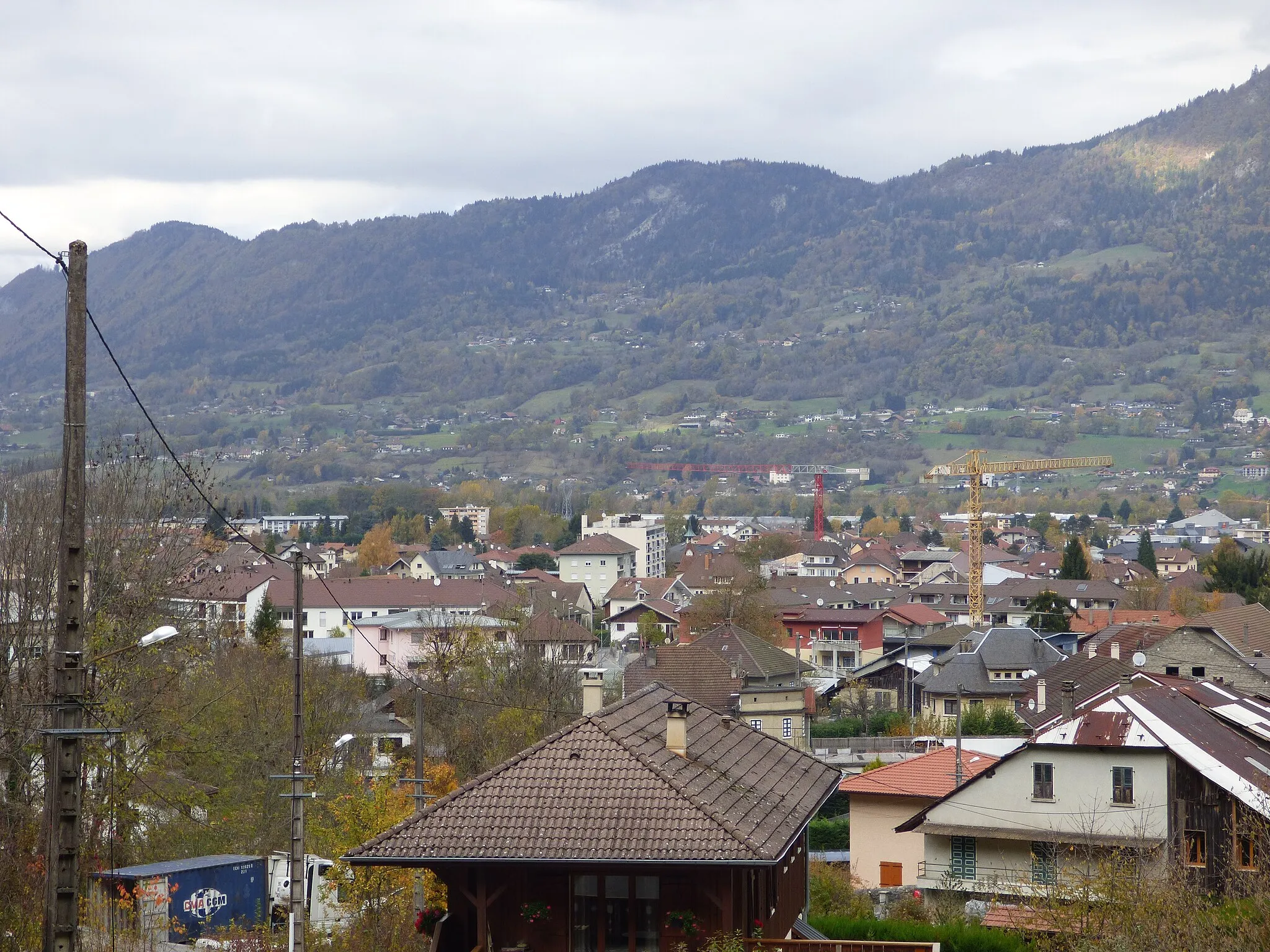
AyseVillageAyse is a hidden gem nestled in a valley, surrounded by lush green fields and impressive mountain peaks.
77 km
77 km
Finish: Marignier Village centerMarignier: Gateway to the French Alps: Cycling Adventures in Marignier
Cycling routes from Marignier:
Scenic Road Loop to Fillinges and Ayse Discover Scenic Gravel Routes near Marignier Road Cycling Journey - Marignier to Sciez Gravel Adventure in Rhône-Alpes Gravel Loop to Sallanches and Col des Aravis Road Cycling Adventure to Morzine Ride to Bonneville and Col de la Colombière Road Cycling Challenge Gravel Adventure - Bonneville to Ayse Château Vieux to Le Plan Séraphin The Mont Blanc Loop
Cycling routes nearby: