Gravel Adventure in Rhône-Alpes
A gravel cycling route starting from Marignier
Embark on an epic gravel adventure through the breathtaking landscapes around Marignier.
Map
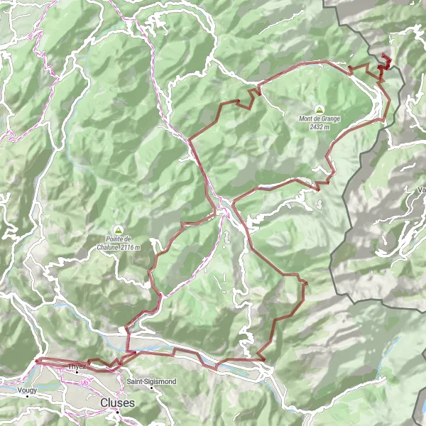
Get ready for an epic gravel adventure that covers a distance of 136 km and includes a challenging ascent of 5736 m. This route is suitable for experienced riders.
gravel
136 km
5736 m
Savage
Route profile
Highlights on the route
0 km
0 km
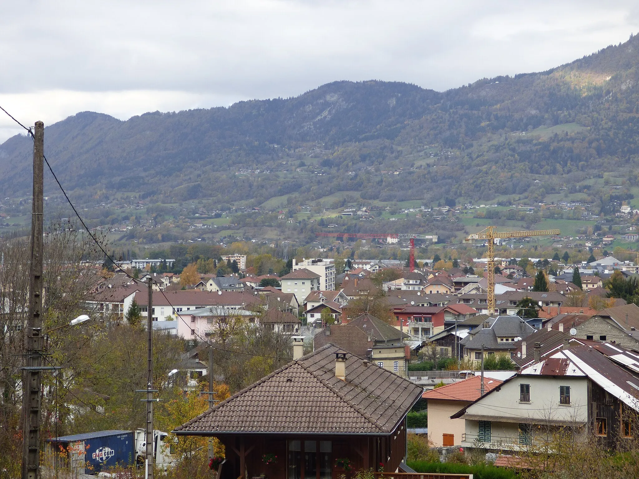
Start: Marignier Village centerMarignier: Gateway to the French Alps: Cycling Adventures in Marignier
Marignier is a locality situated in the Rhône-Alpes region of France. While not particularly famous for cycling, Marignier offers a range of road and gravel routes for cyclists to enjoy. The terrain is diverse, featuring flat stretches, climbs, and rolling hills, which cater to various skill levels. The locality is also located near several renown cycling spots in the French Alps, making it a convenient base for cyclists looking to explore the challenging mountain routes in the region. With its proximity to the mountains and cyclist-friendly environment, Marignier is a suitable choice for riders looking to tackle steep climbs and breathtaking descents.4 km
4 km
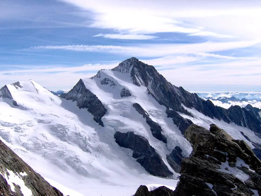
Mont Orchez1347 mPeakDuring this route, take a moment to enjoy the stunning views from the top of Mont Orchez.
11 km
11 km
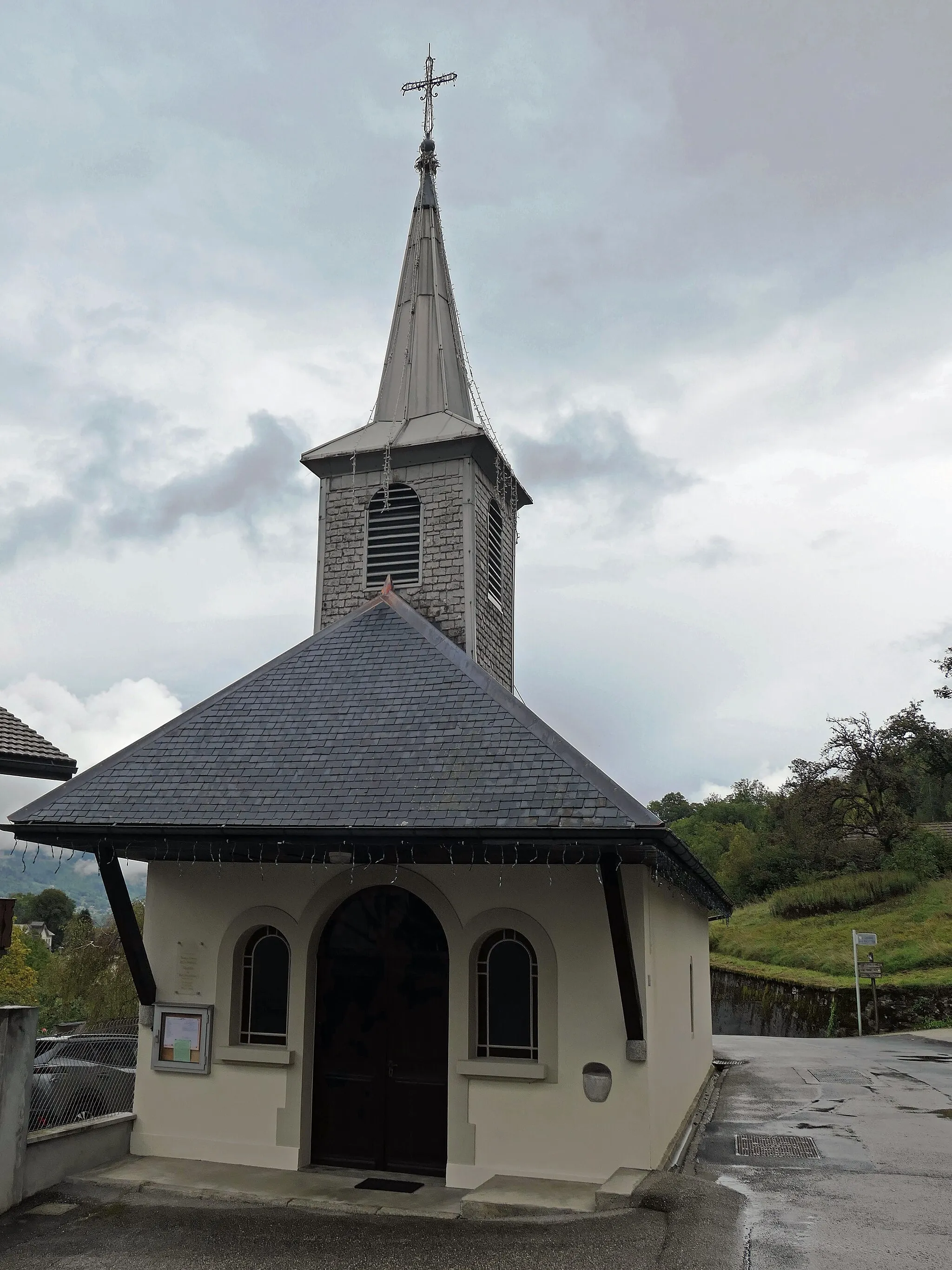
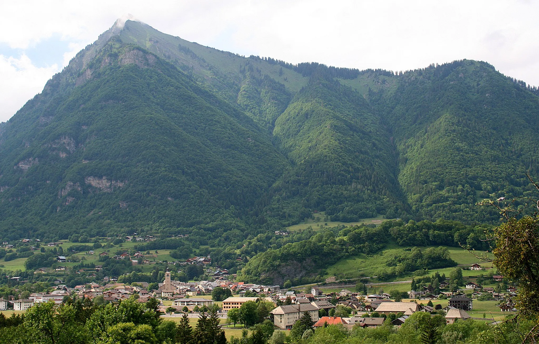
TaningesVillagePass through the town of Taninges and discover its rich history and charming architecture.
23 km
23 km
Le Char des Quais1677 mPeakLe Char des Quais offers a challenging section with rocky terrain and provides an adrenaline-filled experience.
30 km
30 km
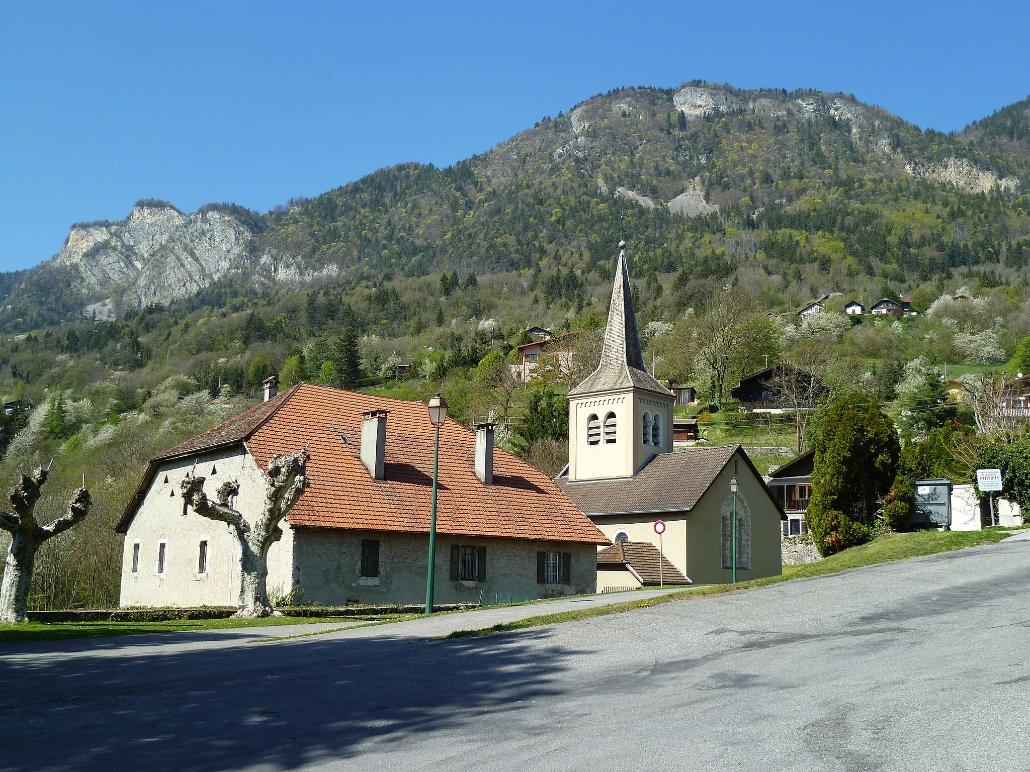
Essert-RomandVillageAs you reach Essert-Romand, be mesmerized by the panoramic vistas and charming Alpine atmosphere.
39 km
39 km
Col de l'Écuelle1534 mMountain PassCol de l'Écuelle is a difficult climb offering incredible views over the surrounding mountains.
54 km
54 km
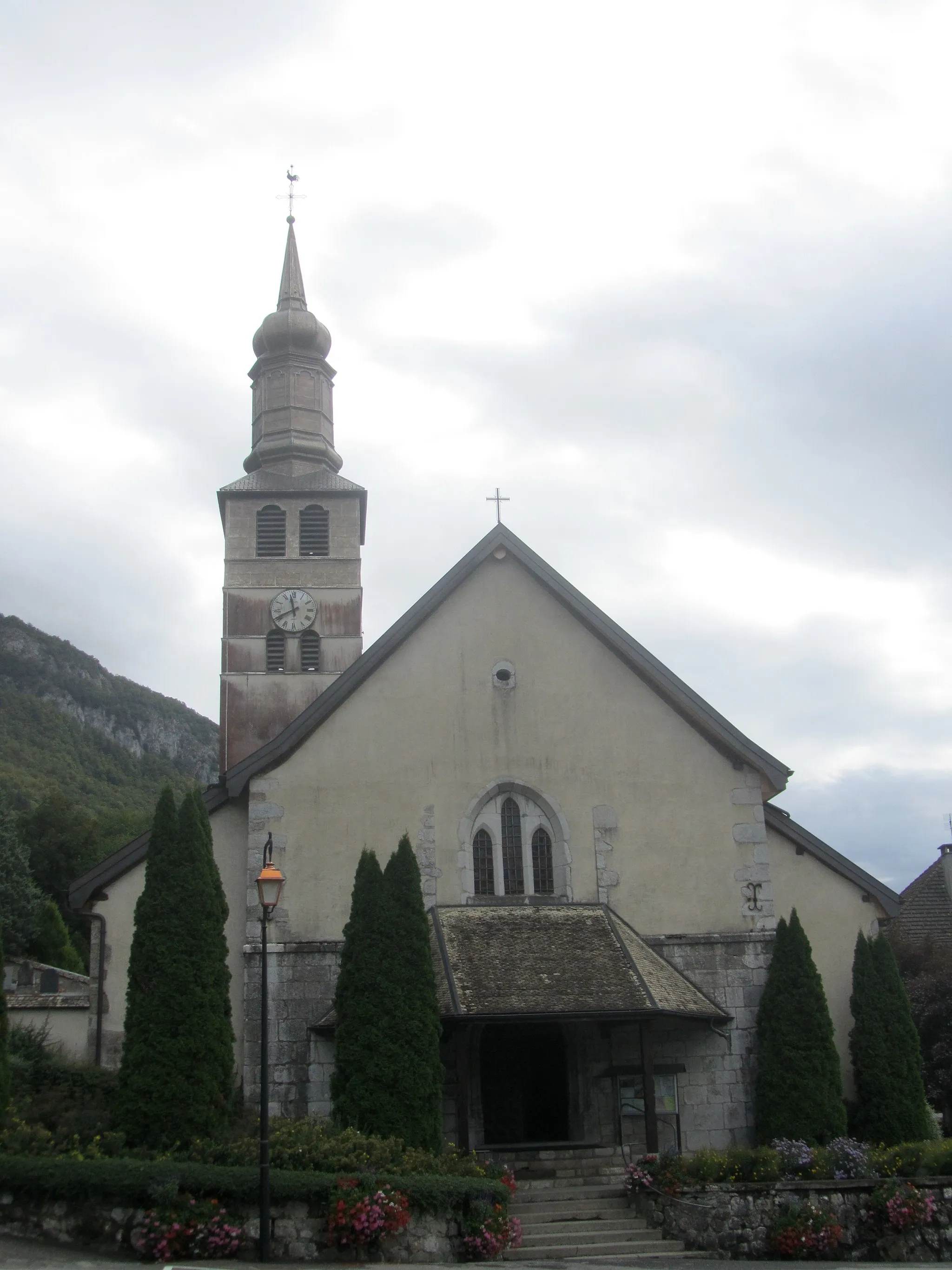
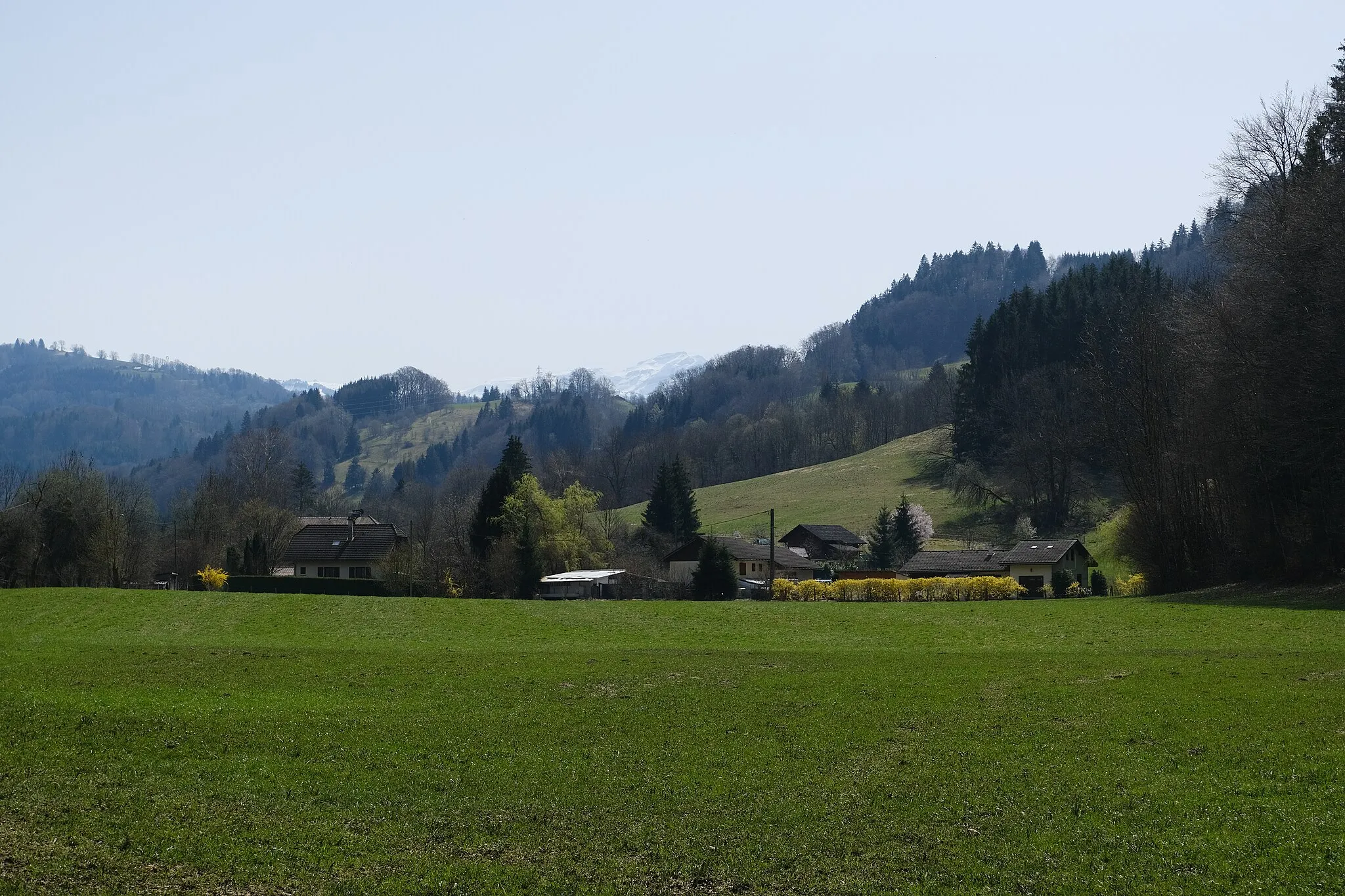
La Chapelle-d'AbondanceVillageLa Chapelle-d'Abondance is a picturesque village with traditional architecture and stunning natural beauty.
73 km
73 km
ChâtelVillageChâtel is a popular Swiss resort town known for its world-class ski slopes and charming old town.
75 km
75 km
Pas de Morgins1371 mMountain PassExperience the thrill of crossing the border into Switzerland via the challenging Pas de Morgins.
88 km
88 km
Cascade d'ArdentViewpointThe Cascade d'Ardent is a magnificent waterfall nestled in the Saleve mountains, providing a perfect spot for a photo stop.
96 km
96 km
MorzineVillageMorzine is a popular cycling destination, renowned for its well-maintained roads and stunning views over the French Alps.
114 km
114 km
La JaÿsiniaViewpointPay a visit to the enchanting La Jaÿsinia, a botanical garden featuring a wide variety of alpine flora.
119 km
119 km
MorillonVillageMorillon is a charming alpine village with traditional Savoyard chalets and stunning mountain views.
128 km
128 km
Châtillon-sur-ClusesVillageChâtillon-sur-Cluses is a small town nestled in a beautiful valley, offering a tranquil escape from the busy cities.
136 km
136 km
Finish: Marignier Village centerMarignier: Gateway to the French Alps: Cycling Adventures in Marignier
Cycling routes from Marignier:
Scenic Road Loop to Fillinges and Ayse Discover Scenic Gravel Routes near Marignier Road Cycling Journey - Marignier to Sciez Gravel Adventure in Rhône-Alpes Gravel Loop to Sallanches and Col des Aravis Road Cycling Adventure to Morzine Ride to Bonneville and Col de la Colombière Road Cycling Challenge Gravel Adventure - Bonneville to Ayse Château Vieux to Le Plan Séraphin The Mont Blanc Loop
Cycling routes nearby: