The Scenic Route to Pérouges
A road cycling route starting from Meximieux
Take a scenic road ride to the medieval town of Pérouges
Map
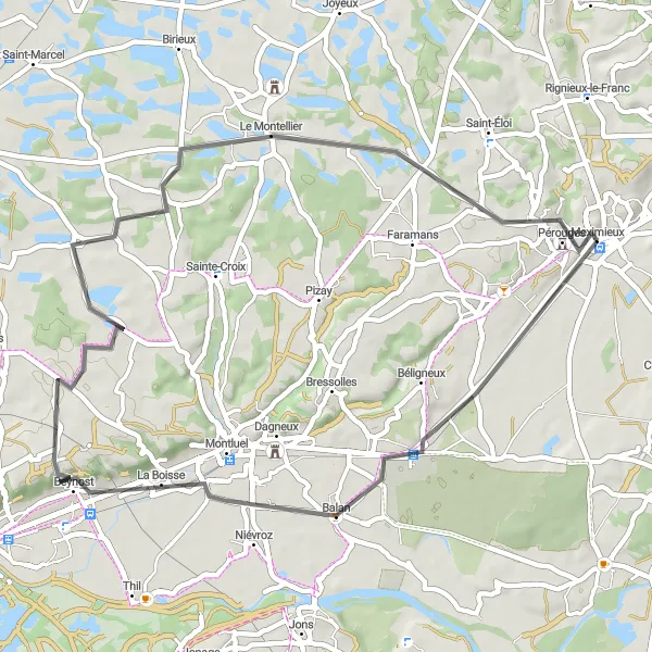
Embark on a scenic road ride to the medieval town of Pérouges. With an ascent of 251 meters and a distance of 50 kilometers, this route is suitable for cyclists of all levels looking to explore the picturesque landscapes of the Rhône-Alpes region. Immerse yourself in the medieval charm of Pérouges and enjoy the scenic views along the way.
road
50 km
251 m
Chill
Route profile
Highlights on the route
0 km
0 km
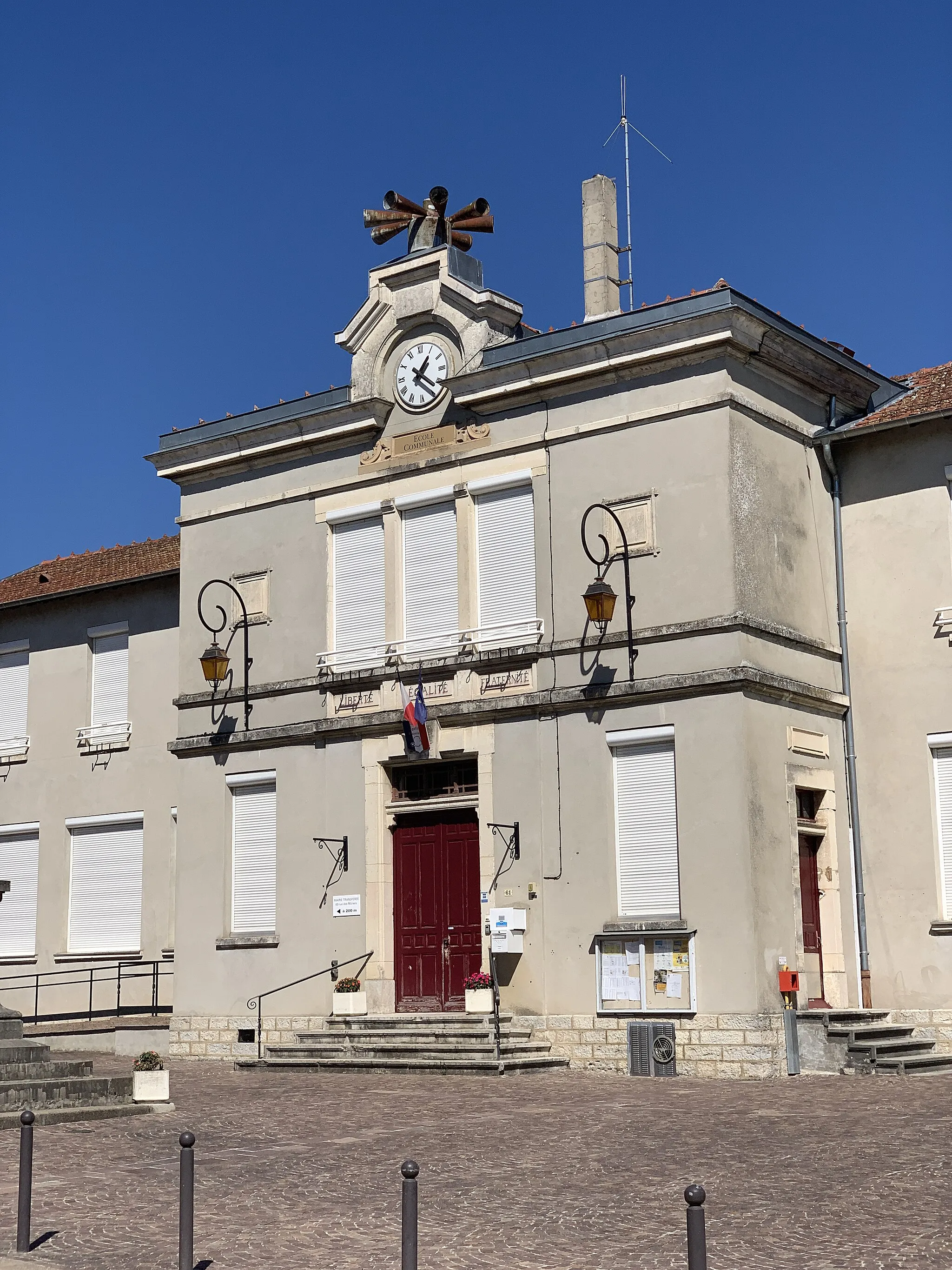
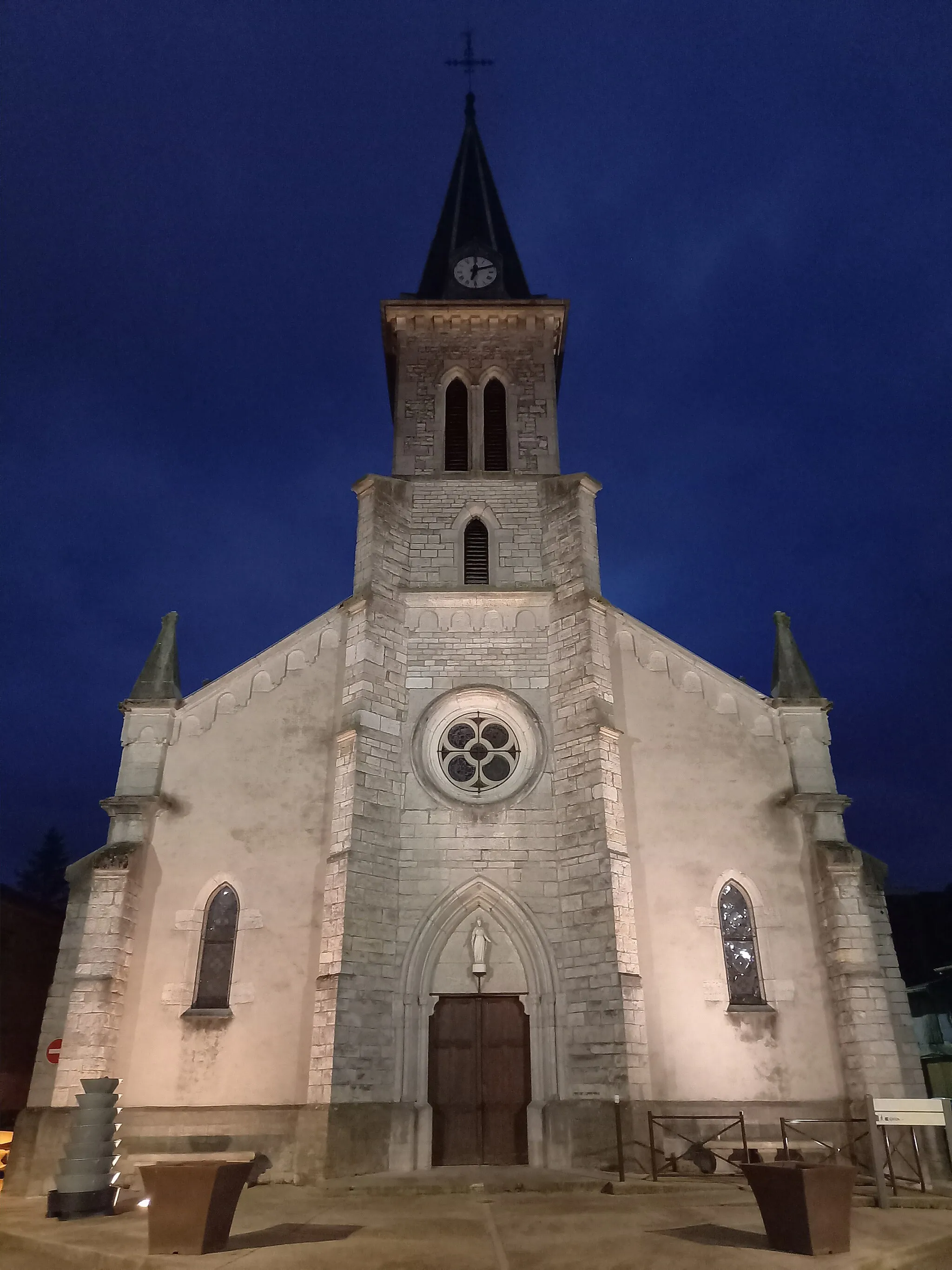
Start: Meximieux Village centerMeximieux: Diverse terrain and medieval charm.
Meximieux, located in Rhône-Alpes, France, is a cyclist's paradise. With its diverse terrain, including flat stretches and challenging climbs, Meximieux offers something for all types of cyclists. The region is famous for its vineyards and medieval charm, providing cyclists with beautiful scenery along their rides. Additionally, Meximieux is near the popular cycling destination of Bugey, known for its legendary climbs and stunning vistas. For cyclists seeking a thrilling yet scenic experience, Meximieux is a top choice.14 km
14 km
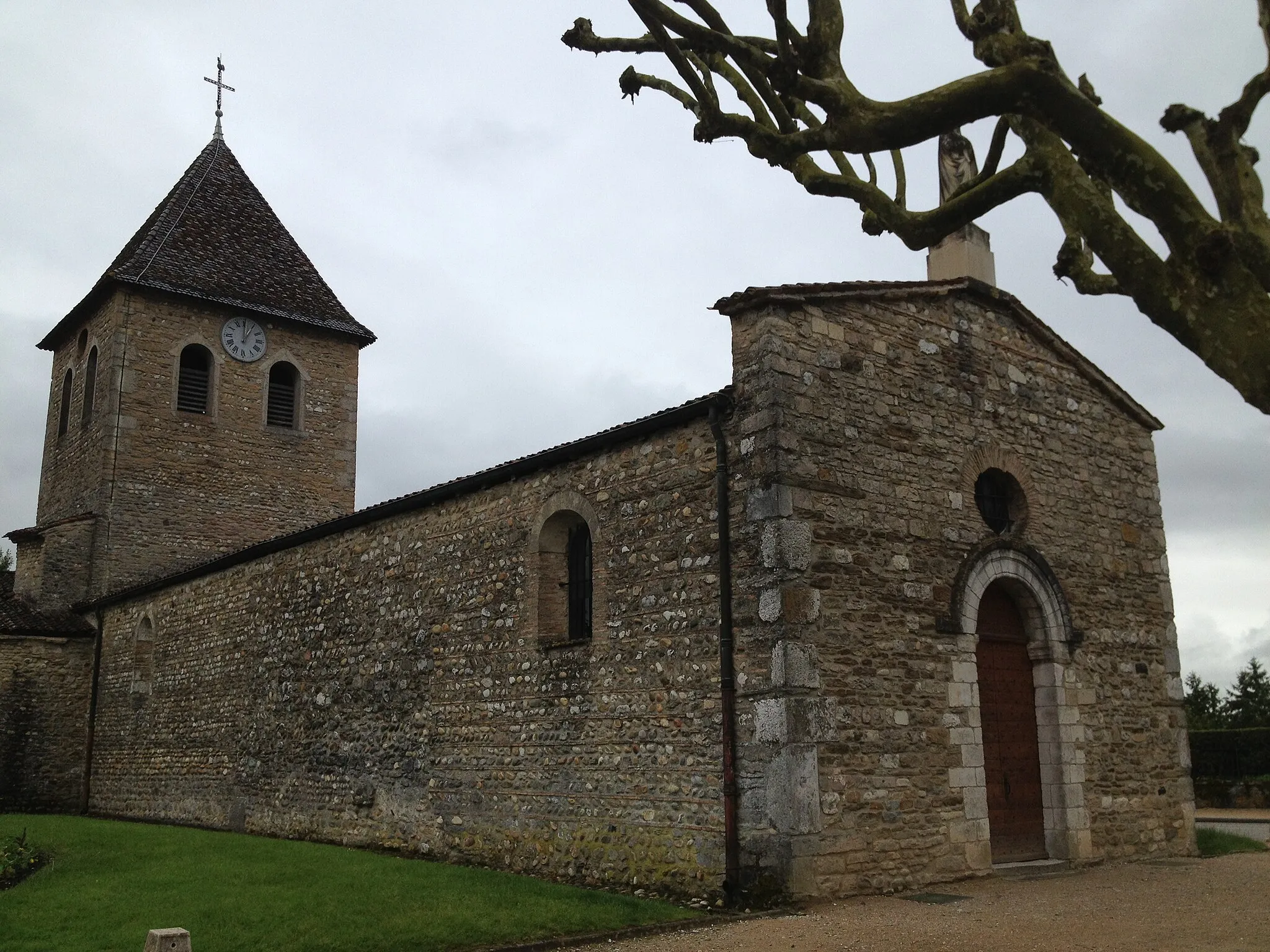
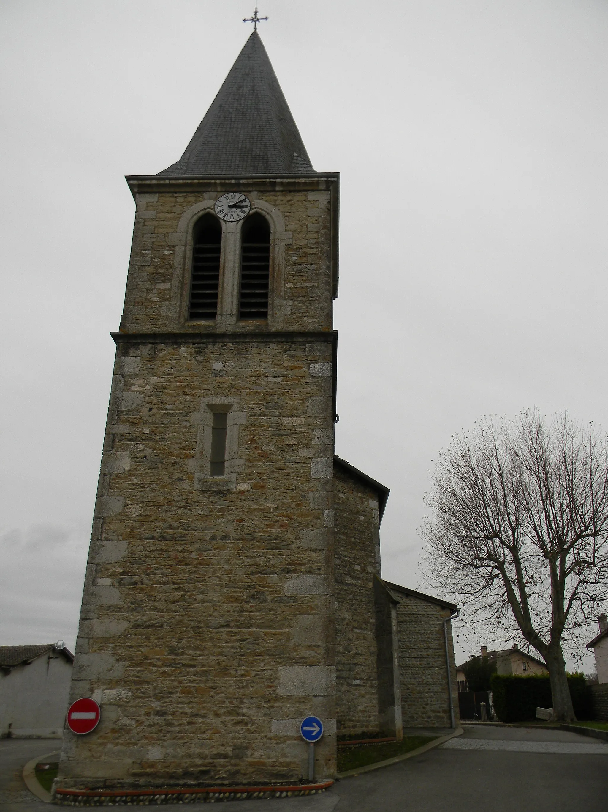
NiévrozVillageAt the 14-kilometer mark, Niévroz is a small village with flower-filled streets and a historical church, providing a charming atmosphere.
20 km
20 km
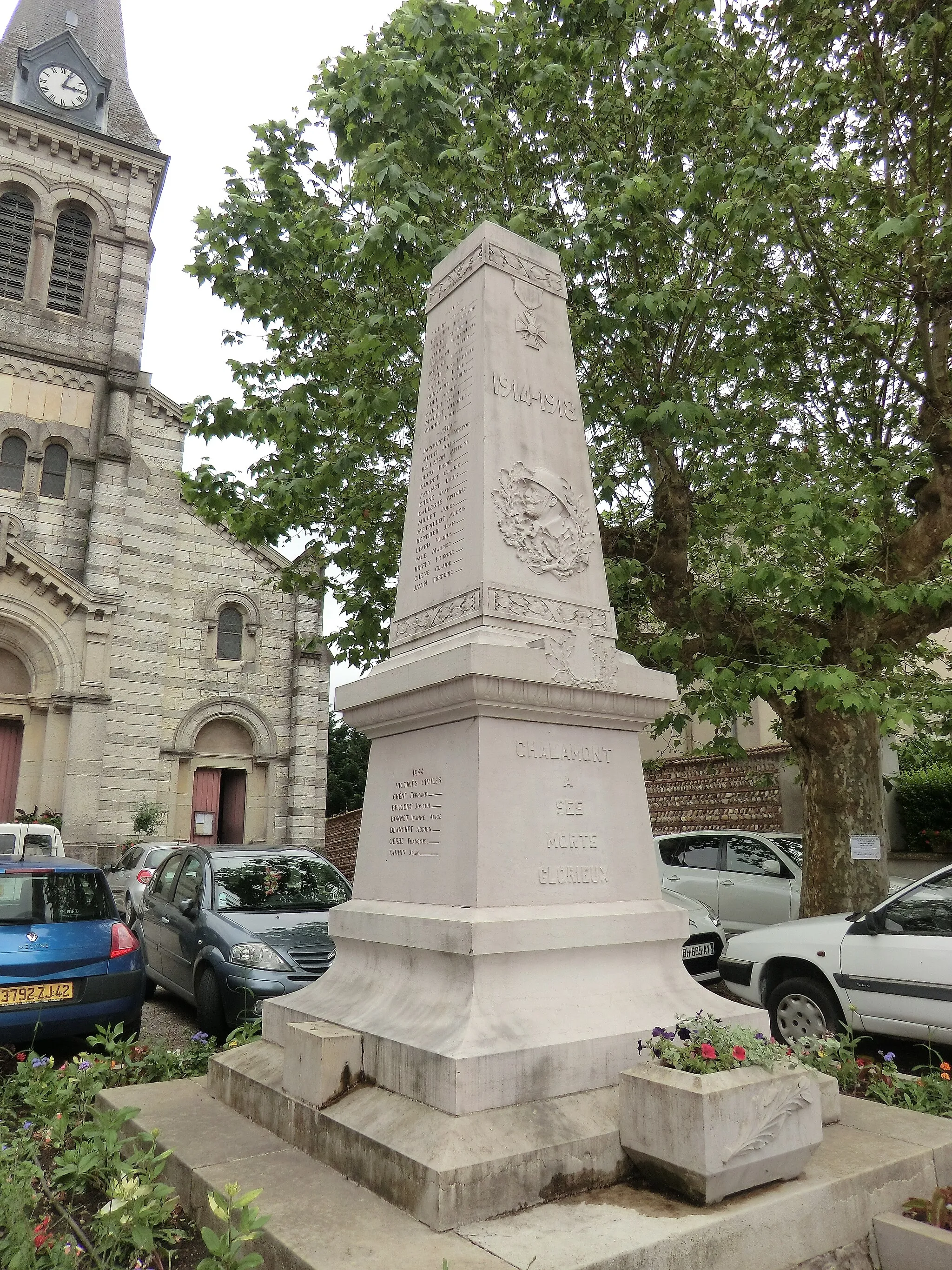
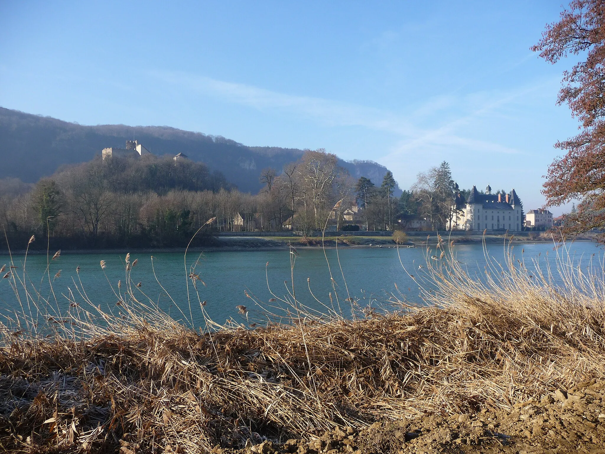
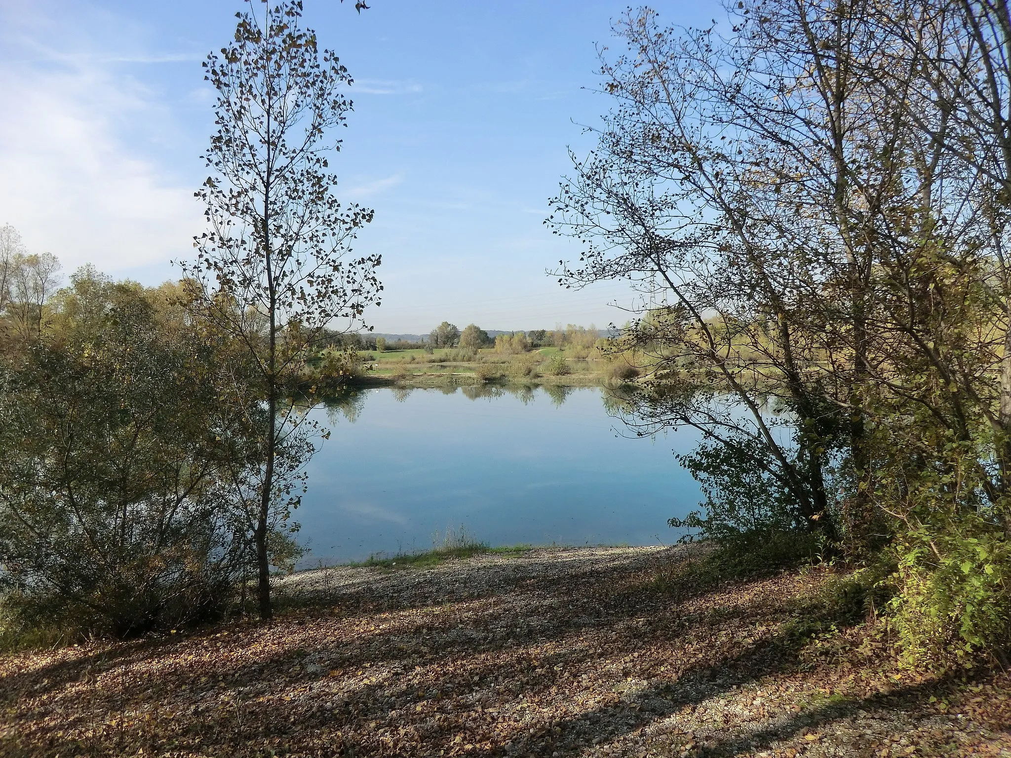
BeynostVillageBeynost, at 20 kilometers, is home to several heritage sites, including a scenic canal and an ancient water mill.
39 km
39 km
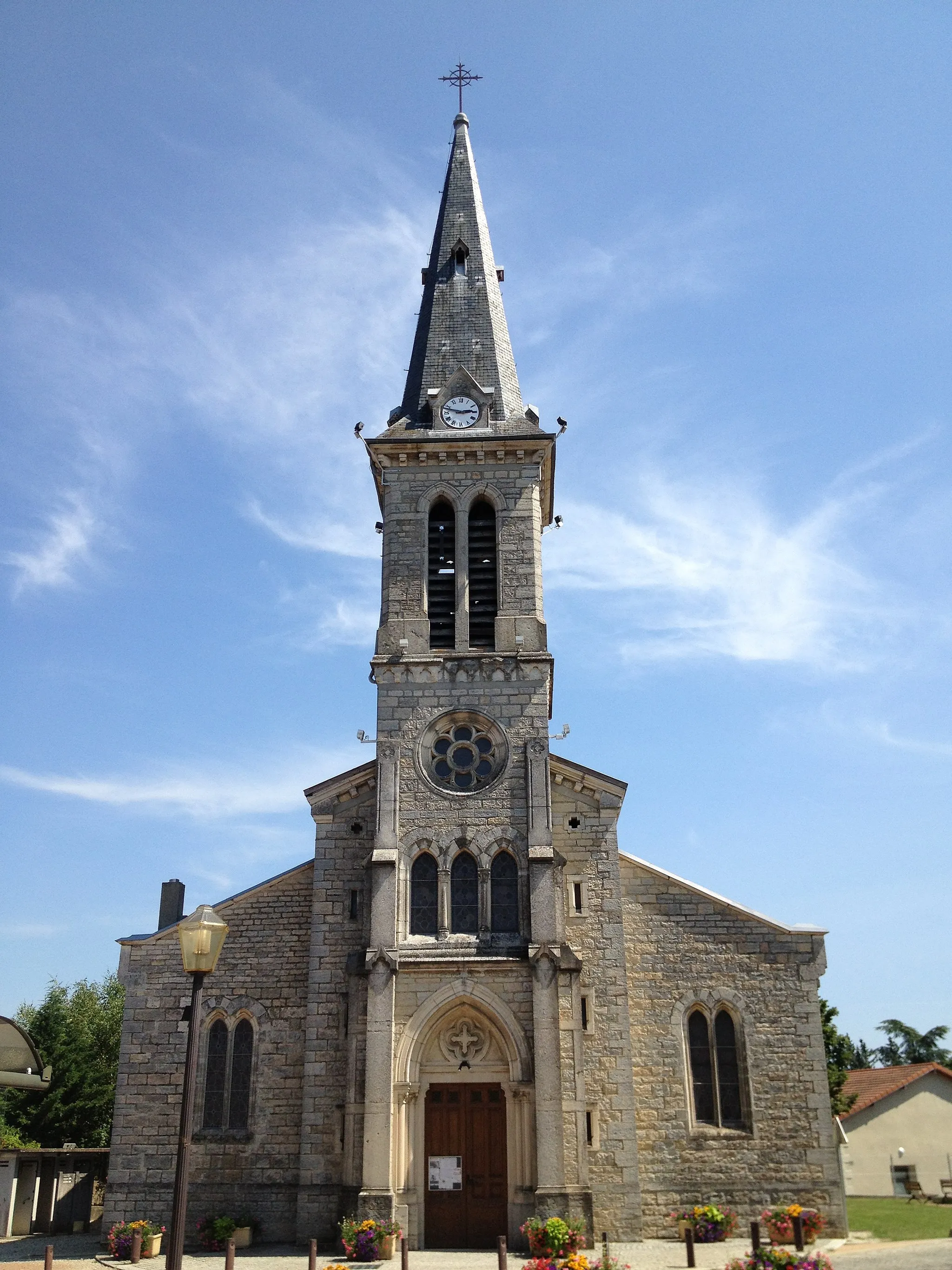
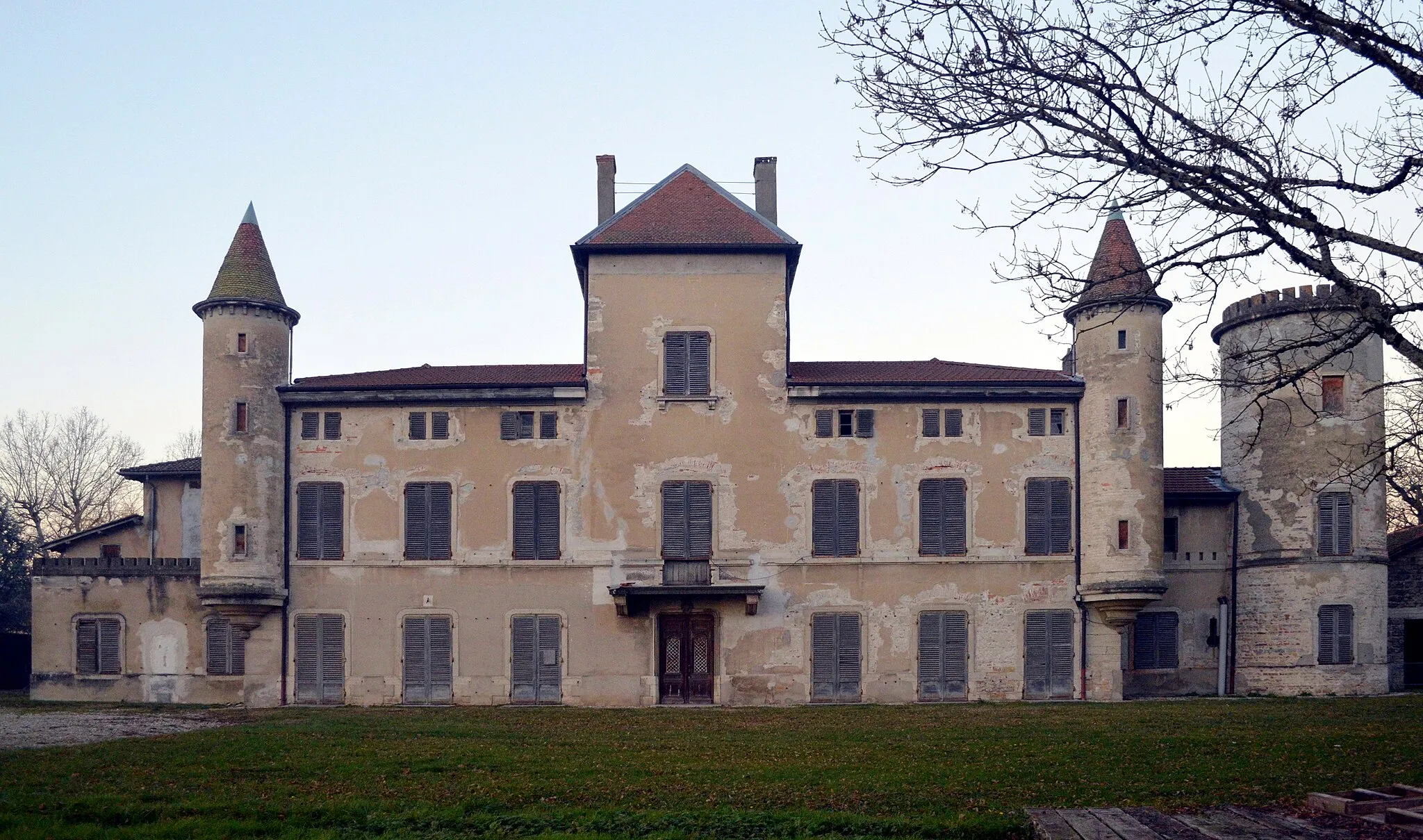
Le MontellierVillageLe Montellier, at 39 kilometers, offers breathtaking panoramic views of the rolling hills and vineyards of the Montellier region.
48 km
48 km
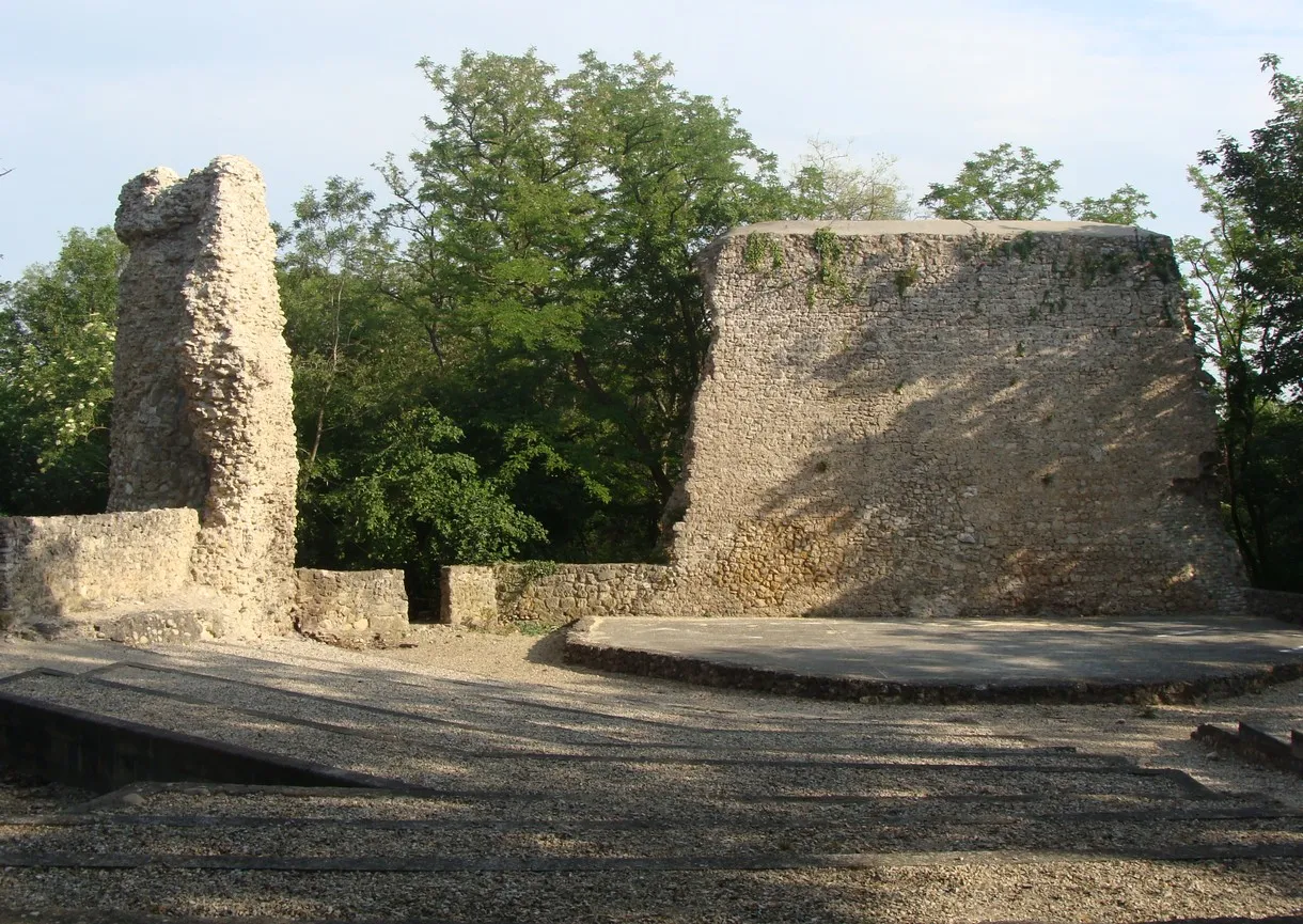
PérougesVillagePérouges, the final destination of this route, is a perfectly preserved medieval town with its stone houses, cobbled streets, and an imposing castle.
50 km
50 km
Finish: Meximieux Village centerMeximieux: Diverse terrain and medieval charm.
Cycling routes from Meximieux:
Countryside Escape Pérouges and Beyond Gravel Adventure to Chazey-sur-Ain The Gravel Ride to Saint-Maurice-de-Gourdans The Scenic Route to Pérouges The Gravel Ride to Genas Discovering Parmilieu Discover the Dombes Cycling through Marlieux Forest Historical Landmarks and Scenic Valleys Meximieux Loop
Cycling routes nearby: