Montagny-les-Lanches to La Tête
A road cycling route starting from Meythet
Experience the stunning landscapes from Montagny-les-Lanches to La Tête
Map

This round-trip cycling route takes you through picturesque towns and offers breathtaking panoramic views. With an ascent of 2423m and a distance of 177km, it is a challenging yet rewarding ride. Starting from Montagny-les-Lanches, you will pass through highlights such as Héry-sur-Alby, Les Crêts, Drumettaz-Clarafond, and Bourdeau. The route also includes scenic spots like Panorama Point and Cascade de Glandieu.
road
177 km
2423 m
Tough
Route profile
Highlights on the route
0 km
0 km
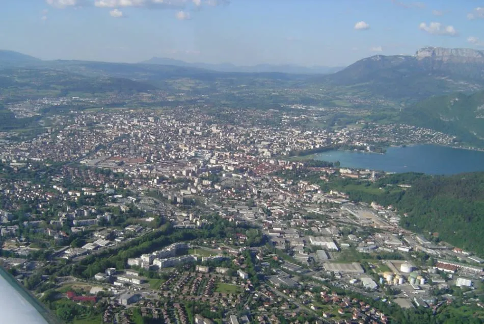
Start: Gillon Village centerMeythet: Excellent cycling experience in Rhône-Alpes, France with stunning alpine landscapes and legendary climbs nearby.
Meythet, located in Rhône-Alpes, France, offers an excellent cycling experience. Ride through stunning alpine landscapes near Meythet with countless cycling routes to explore. Nearby, the Col des Aravis and Col de la Forclaz await, providing challenging climbs and rewarding panoramic views. Meythet is an ideal starting point for road and gravel cyclists looking to conquer legendary climbs in the French Alps.10 km
10 km
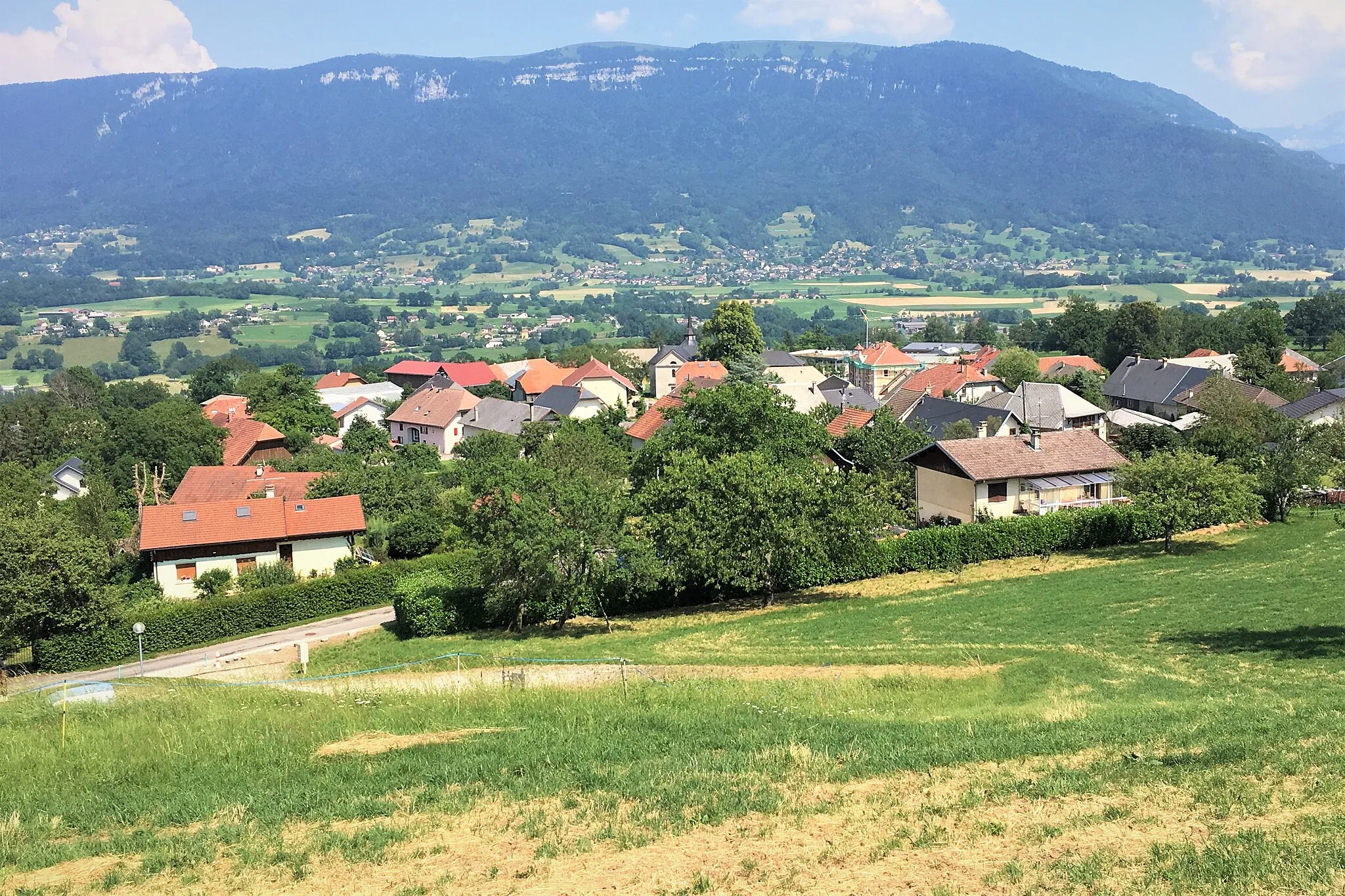
Montagny-les-LanchesVillageMontagny-les-Lanches offers charming countryside views and a tranquil atmosphere.
20 km
20 km
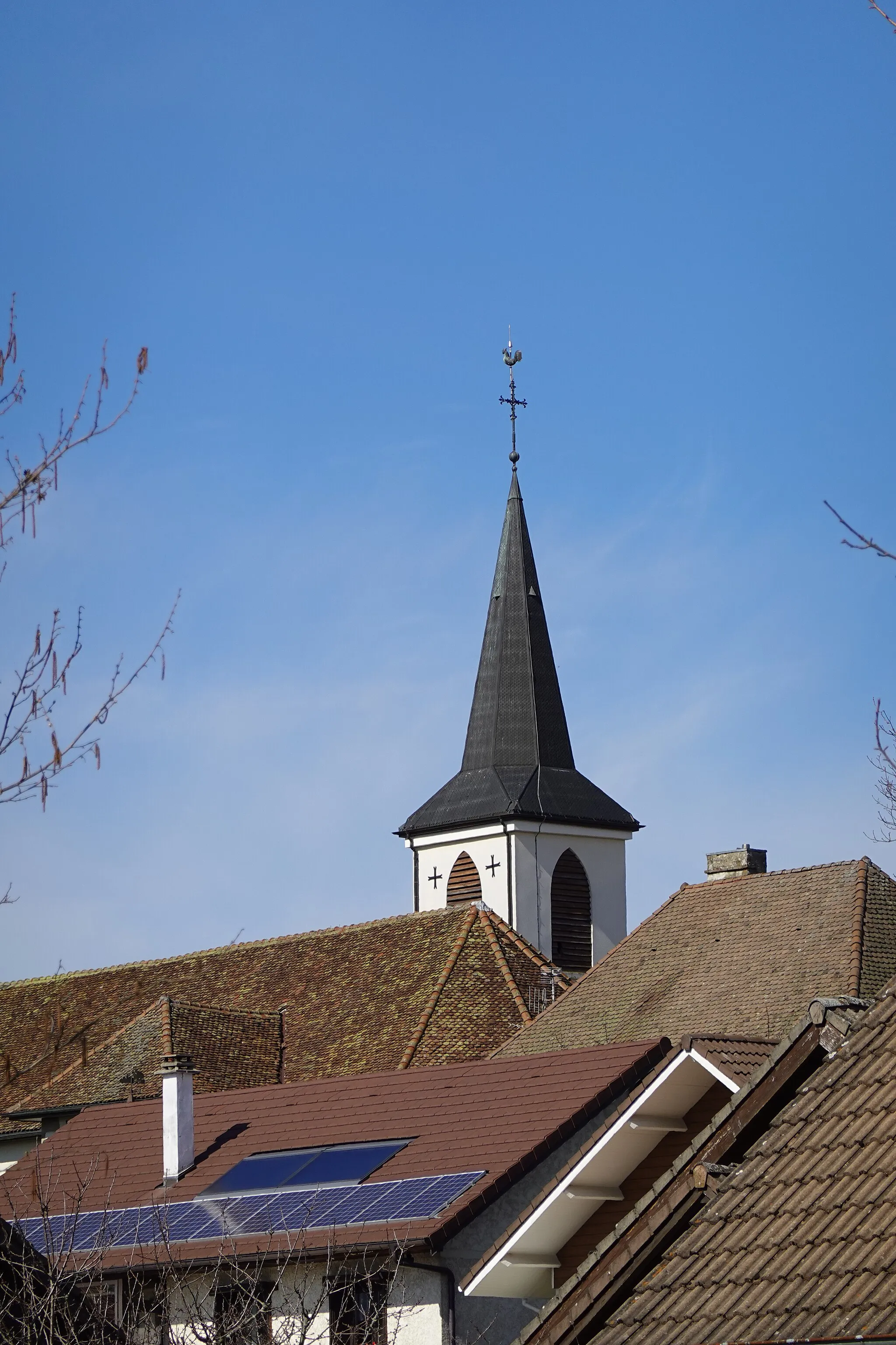
Héry-sur-AlbyVillageHéry-sur-Alby is known for its historic architecture and beautiful church.
21 km
21 km
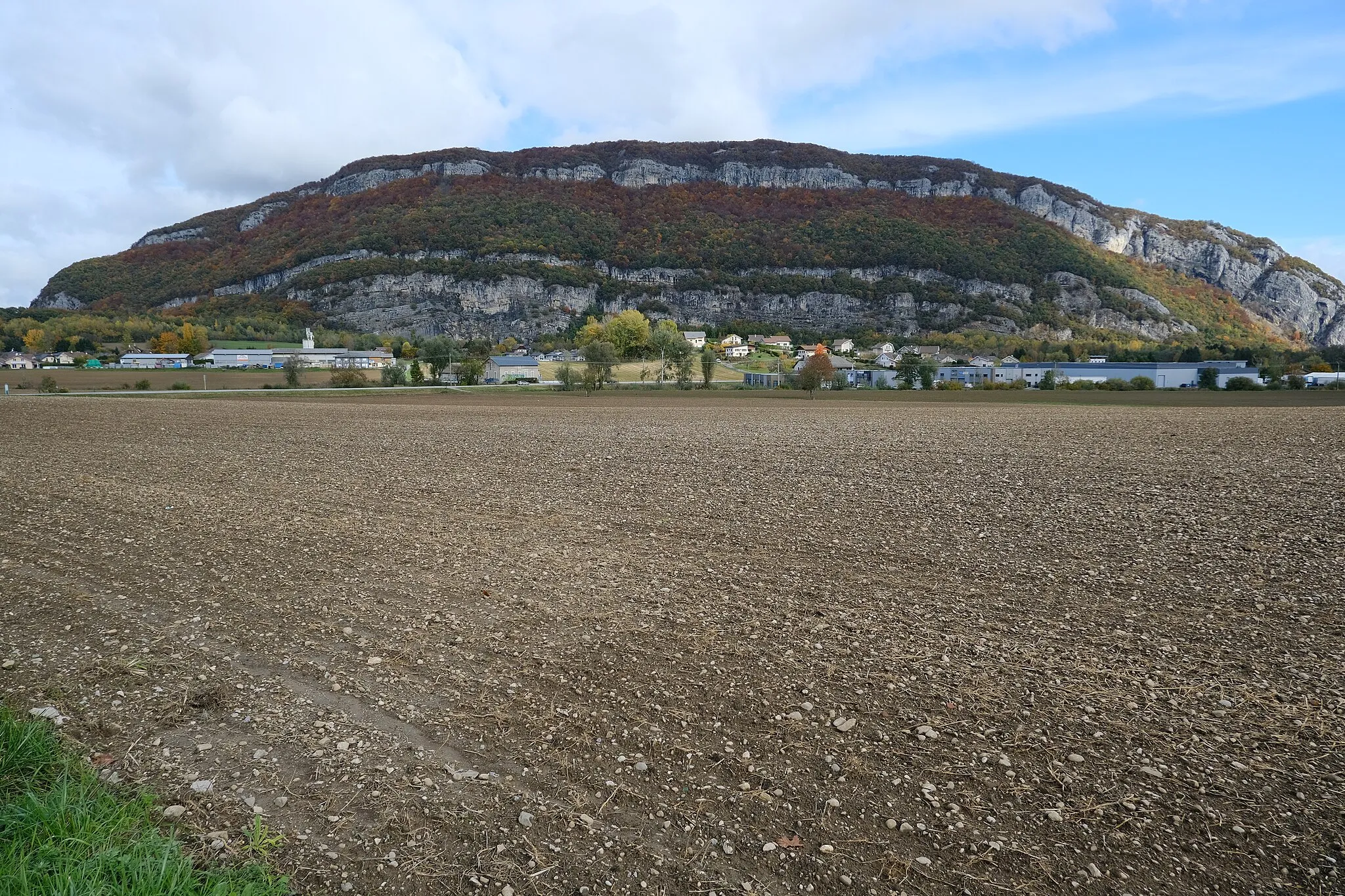
Les Crêts675 mPeakLes Crêts provides a stunning vista of the surrounding mountains and valleys.
44 km
44 km
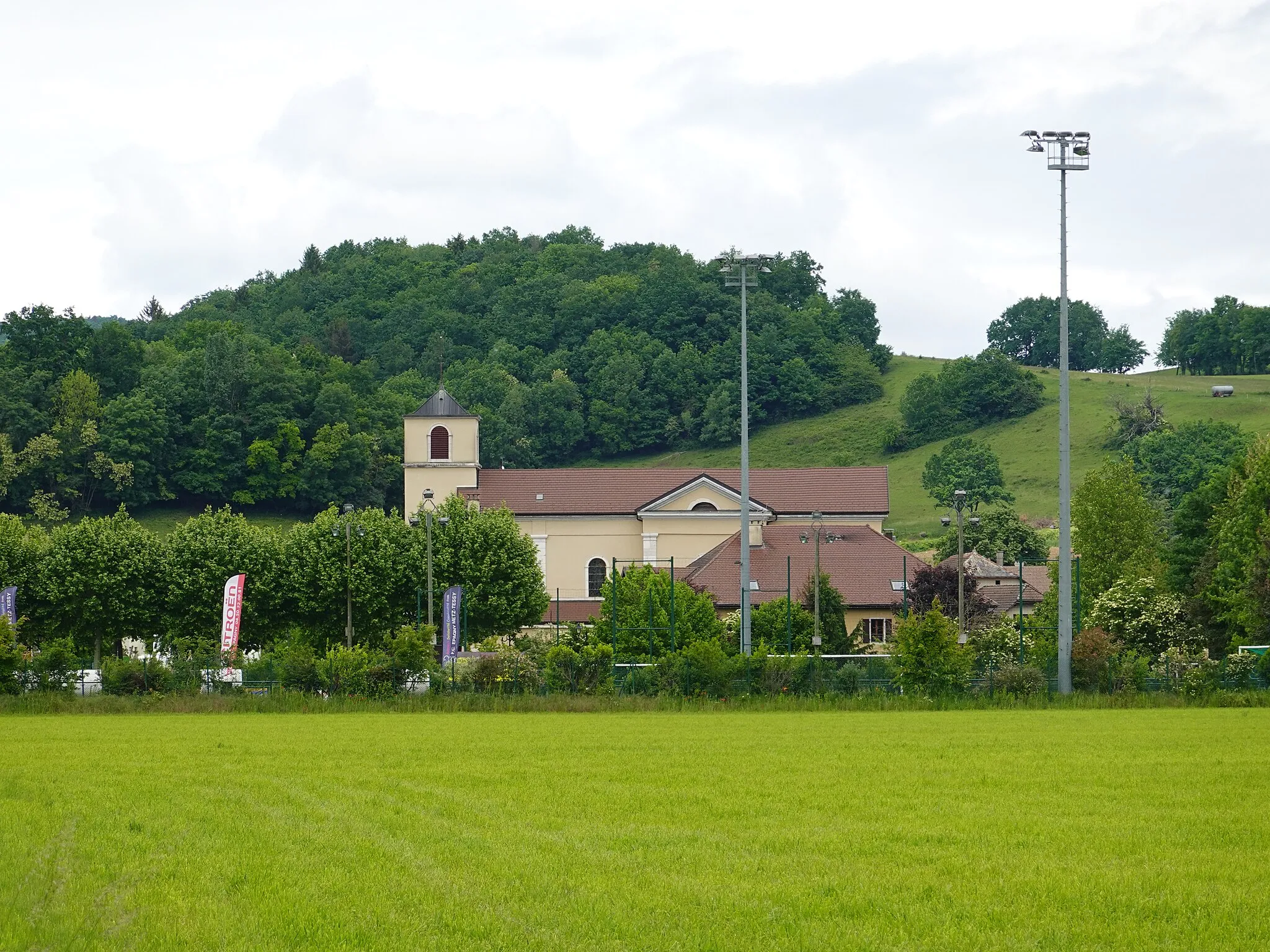
Drumettaz-ClarafondVillageDrumettaz-Clarafond is a charming village with traditional architecture.
45 km
45 km
ObservationViewpointObservation point offers a panoramic view of the entire region.
54 km
54 km
BourdeauVillageBourdeau is a picturesque lakeside village with a medieval castle.
54 km
54 km
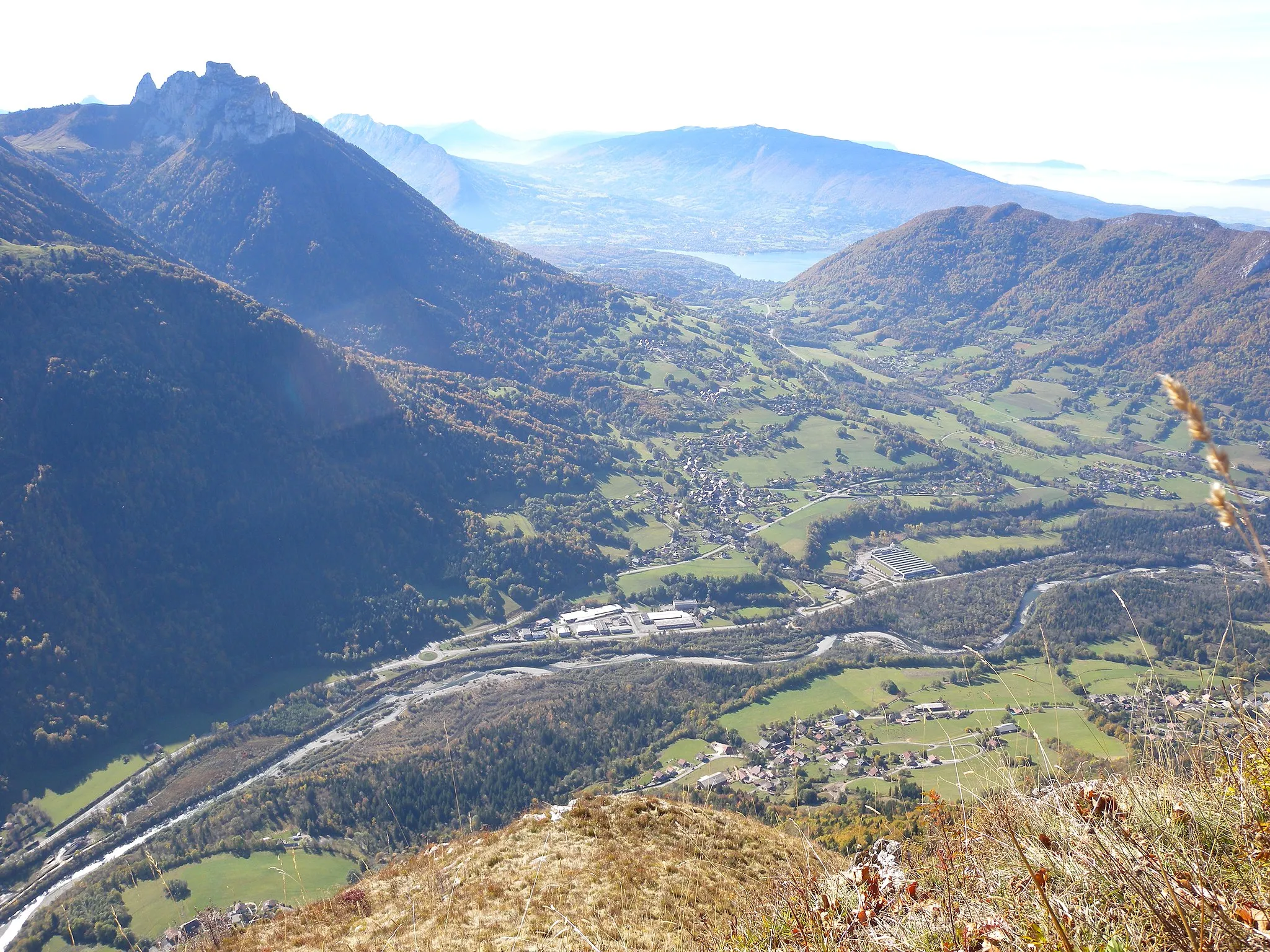
PanoramaViewpointPanorama Point offers a breathtaking view of the surrounding mountains and Lake Bourget.
65 km
65 km
La Chapelle-Saint-MartinVillageLa Chapelle-Saint-Martin is a beautiful hilltop hamlet with charming stone houses.
75 km
75 km
Col de la Crusille579 mMountain PassCol de la Crusille offers stunning views of the Alps and the nearby valleys.
90 km
90 km
Mont de Cordon400 mPeakMont de Cordon is known for its scenic hiking trails and picturesque views.
96 km
96 km
Cascade de GlandieuWaterfallCascade de Glandieu is a beautiful waterfall nestled in a forested area.
105 km
105 km
ColomieuVillageColomieu is a charming medieval village with historic buildings.
128 km
128 km
CeyzérieuVillageCeyzérieu is a small village famous for its traditional cheese production.
141 km
141 km
AnglefortVillageAnglefort is known for its beautiful countryside and historic monuments.
158 km
158 km
Château de Clermont en GenevoisCastleChâteau de Clermont en Genevois is a medieval castle with stunning views.
163 km
163 km
Crêt de Charmont748 mPeakCrêt de Charmont is a scenic ridge offering panoramic views of the surrounding area.
172 km
172 km
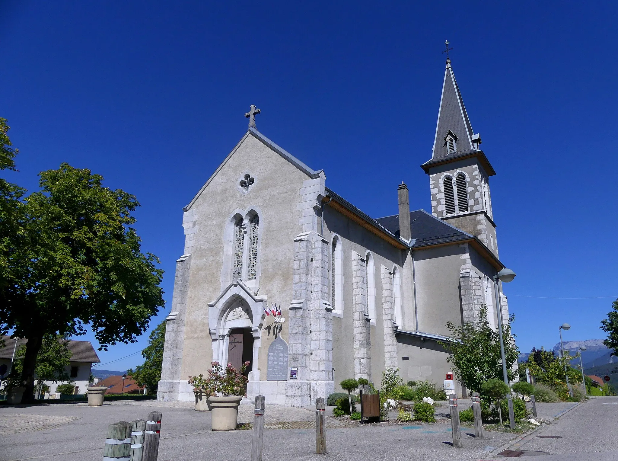
SillingyVillageSillingy is a charming town with well-preserved medieval architecture.
174 km
174 km
La Tête900 mPeakLa Tête is a popular hiking spot with stunning views of the surrounding mountains and lakes.
177 km
177 km
Finish: Gillon Village centerMeythet: Excellent cycling experience in Rhône-Alpes, France with stunning alpine landscapes and legendary climbs nearby.
Cycling routes from Meythet:
Hills and Panoramic Views Lake Annecy and Surrounding Villages Gravel Adventure in the French Alps Sillingy & Mont Sion Gravel Route Scenic Countryside and Historic Château Chavanod & La Chambotte Gravel Route Étercy & Seyssel Road Route Lake and Mountain Adventure Argonay & Visitation Road Route La Tête & La Chapelle-Rambaud Road Route Mountain Challenge Argonay Loop Gravel Adventure Scenic Cycling Route from Meythet to Seyssel Montagny-les-Lanches to La Tête Cycle Route via Meythet to Cuvat and Annecy Groisy to Saint-Martin-Bellevue Annecy to Lovagny Col de la Frétallaz to Annecy Chavanod to La Balme-de-Sillingy Challenging Road Cycling Route with Beautiful Landscapes Scenic Road Cycling Route with Diverse Landscapes
Cycling routes nearby: