Gravel Route to Nantua
A gravel cycling route starting from Montagnat
Explore the scenic beauty and challenging terrains of Rhône-Alpes
Map
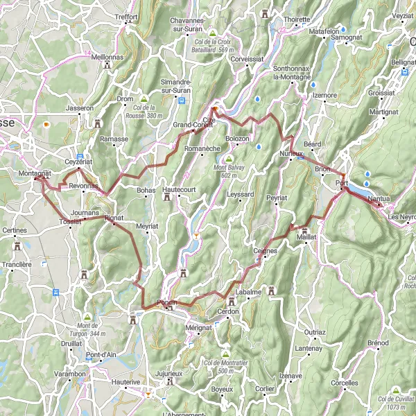
This gravel route takes you through the picturesque countryside of Montagnat in Rhône-Alpes, France. With a total distance of 82 km and an elevation gain of 1621 meters, it offers a challenging ride for experienced riders. The route highlights include Ceyzériat, Col de la Chaise, Grand-Corent, Panorama de la boucle de l'Ain, La source de la Doye, Nantua, Col de Ceignes, Poncin, and Journans. These highlights offer stunning viewpoints, beautiful landscapes, and cultural landmarks along the way.
gravel
82 km
1621 m
Tough
Route profile
Highlights on the route
0 km
0 km
Start: Montagnat Village centerMontagnat: Picturesque cycling in the Rhône-Alpes region of France.
Montagnat is a lovely locality situated in the Rhône-Alpes region of France. From a cyclist's perspective, it offers a mix of flat roads and rolling hills, providing a variety of cycling terrain. The picturesque surroundings and quiet country roads create an enjoyable cycling experience. Although Montagnat itself does not have any well-known cycling spots, it is conveniently located near popular cycling destinations such as Bourg-en-Bresse. Cyclists can explore the beautiful landscapes of the Jura mountains and tackle challenging climbs like Col de la Biche. Montagnat serves as a great base for cycling adventures in the region.5 km
5 km
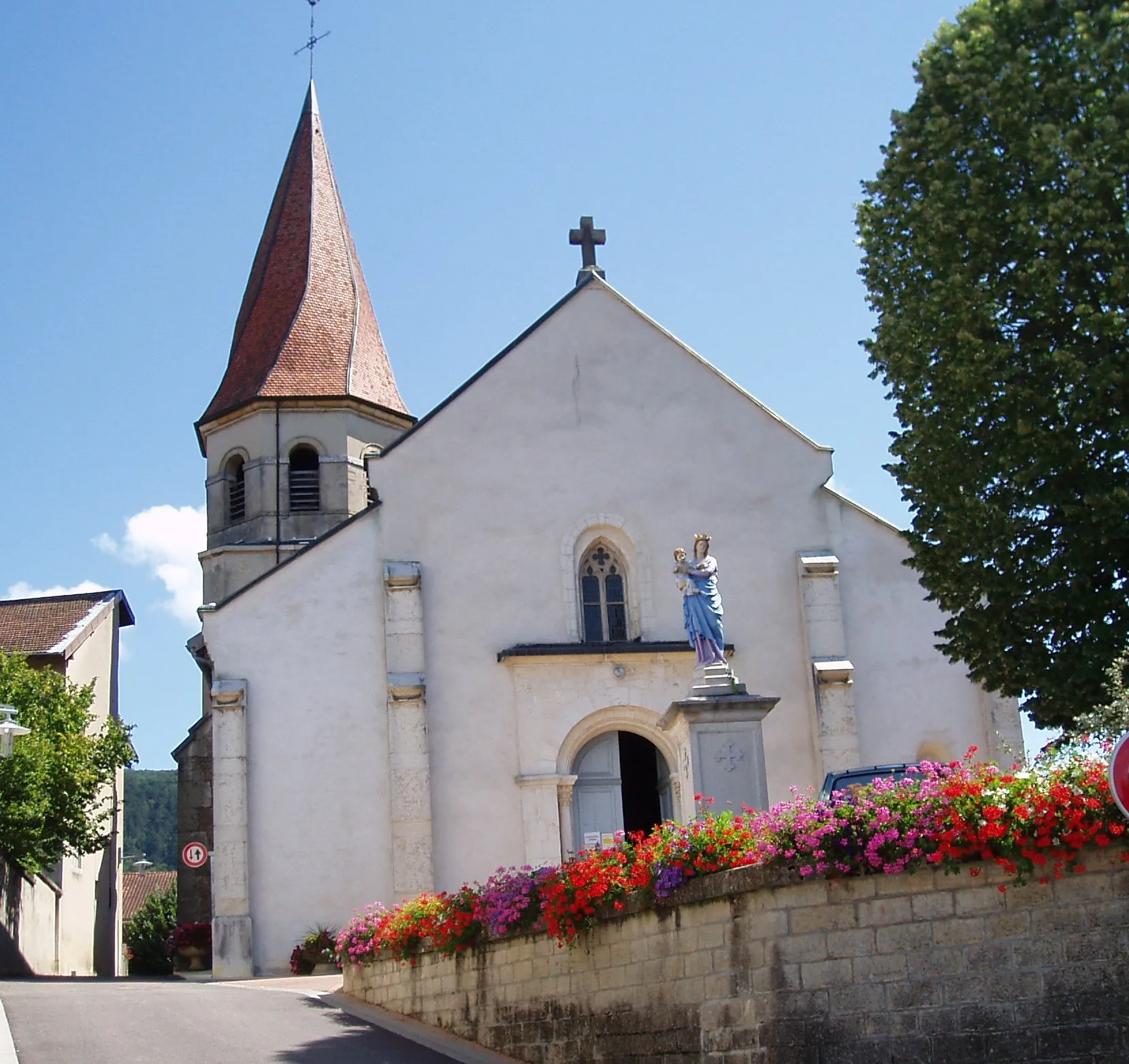
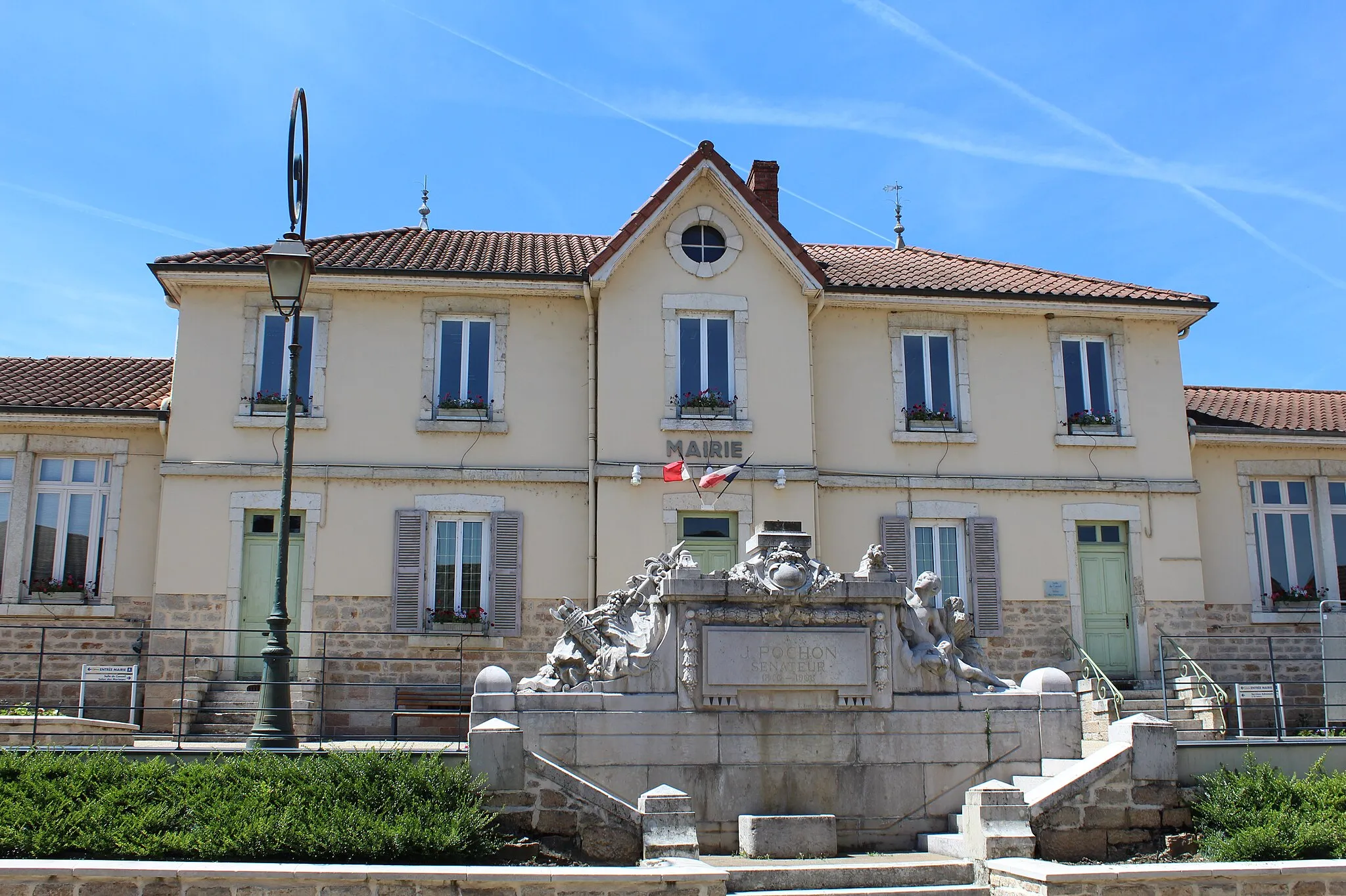
CeyzériatVillageCeyzériat offers panoramic views of the surrounding countryside.
8 km
8 km
Col de la Chaise420 mMountain PassCol de la Chaise is a challenging climb with breathtaking views at the top.
18 km
18 km
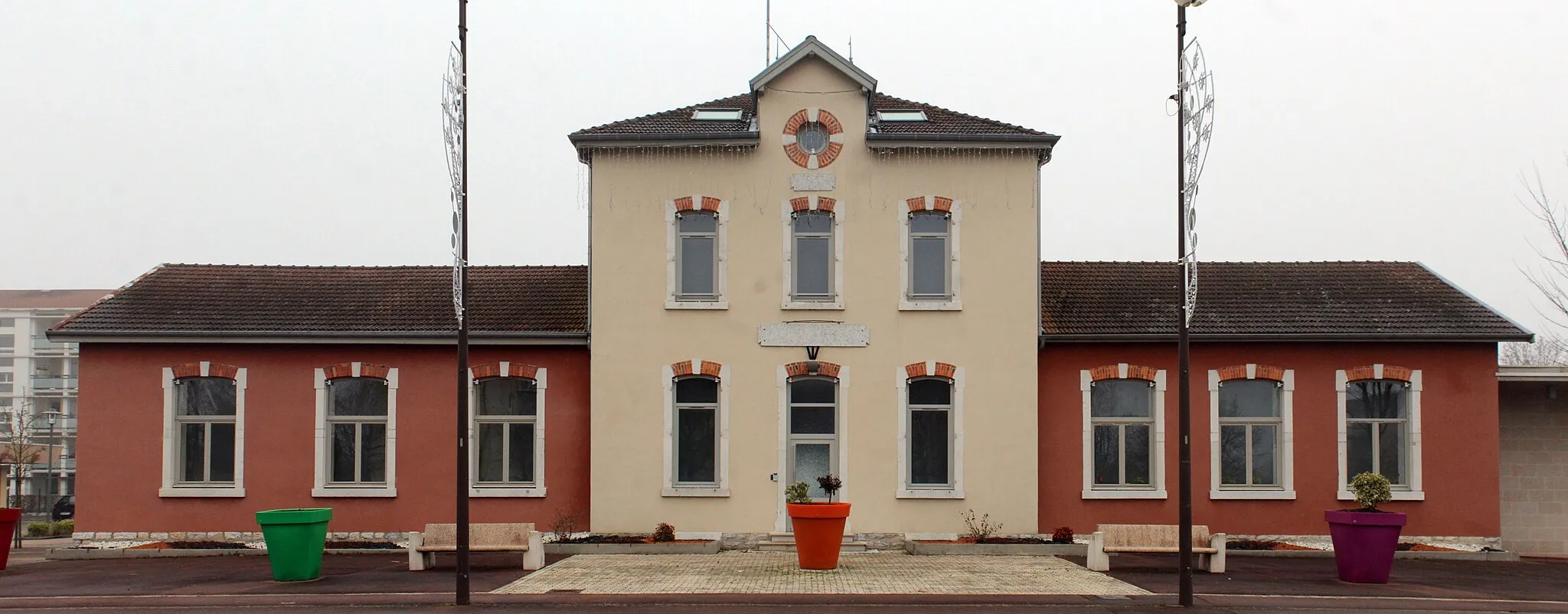
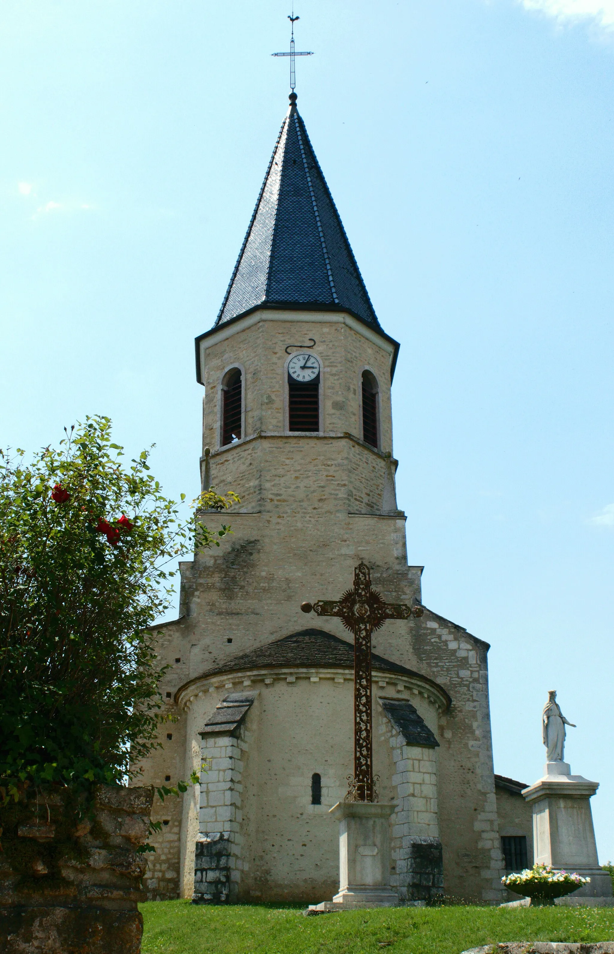
Grand-CorentVillageGrand-Corent is a small village with charming traditional architecture.
21 km
21 km
Panorama de la boucle de l'AinViewpointPanorama de la boucle de l'Ain offers a stunning vantage point overlooking the Ain river.
40 km
40 km
La source de la DoyeViewpointLa source de la Doye is a natural spring with crystal clear water.
40 km
40 km
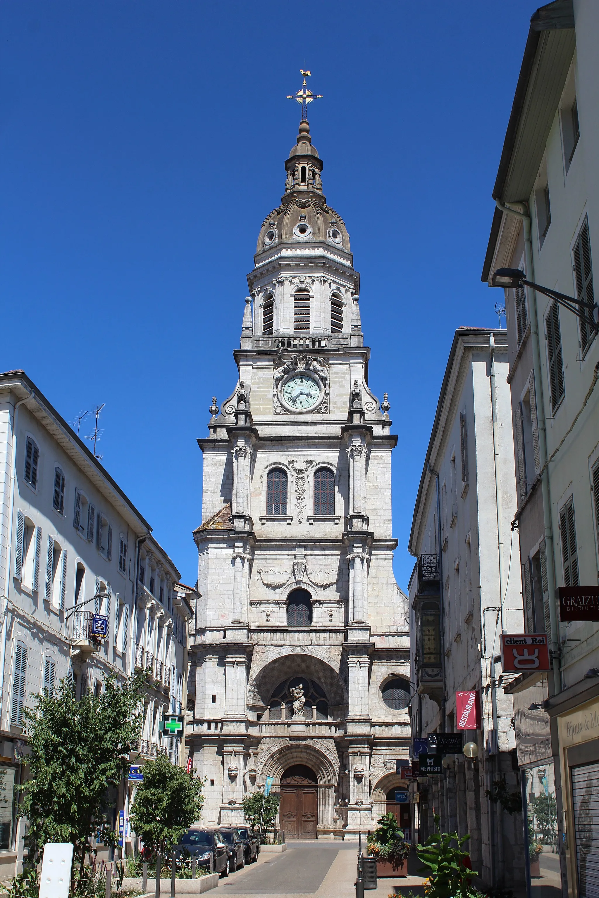
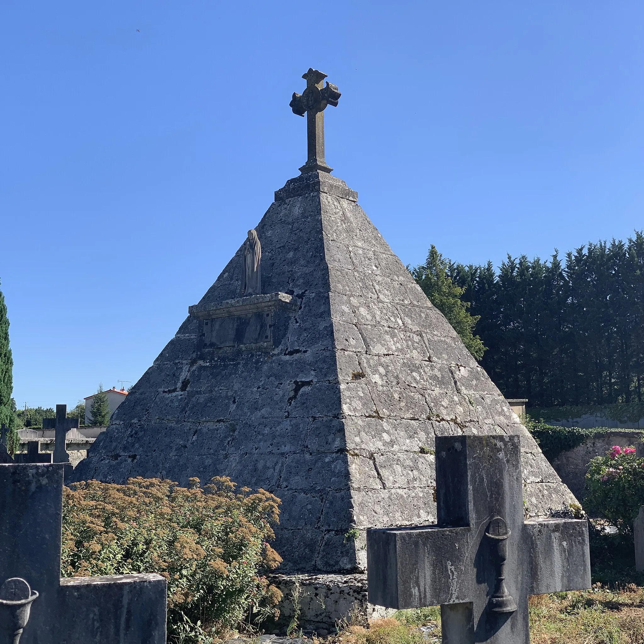
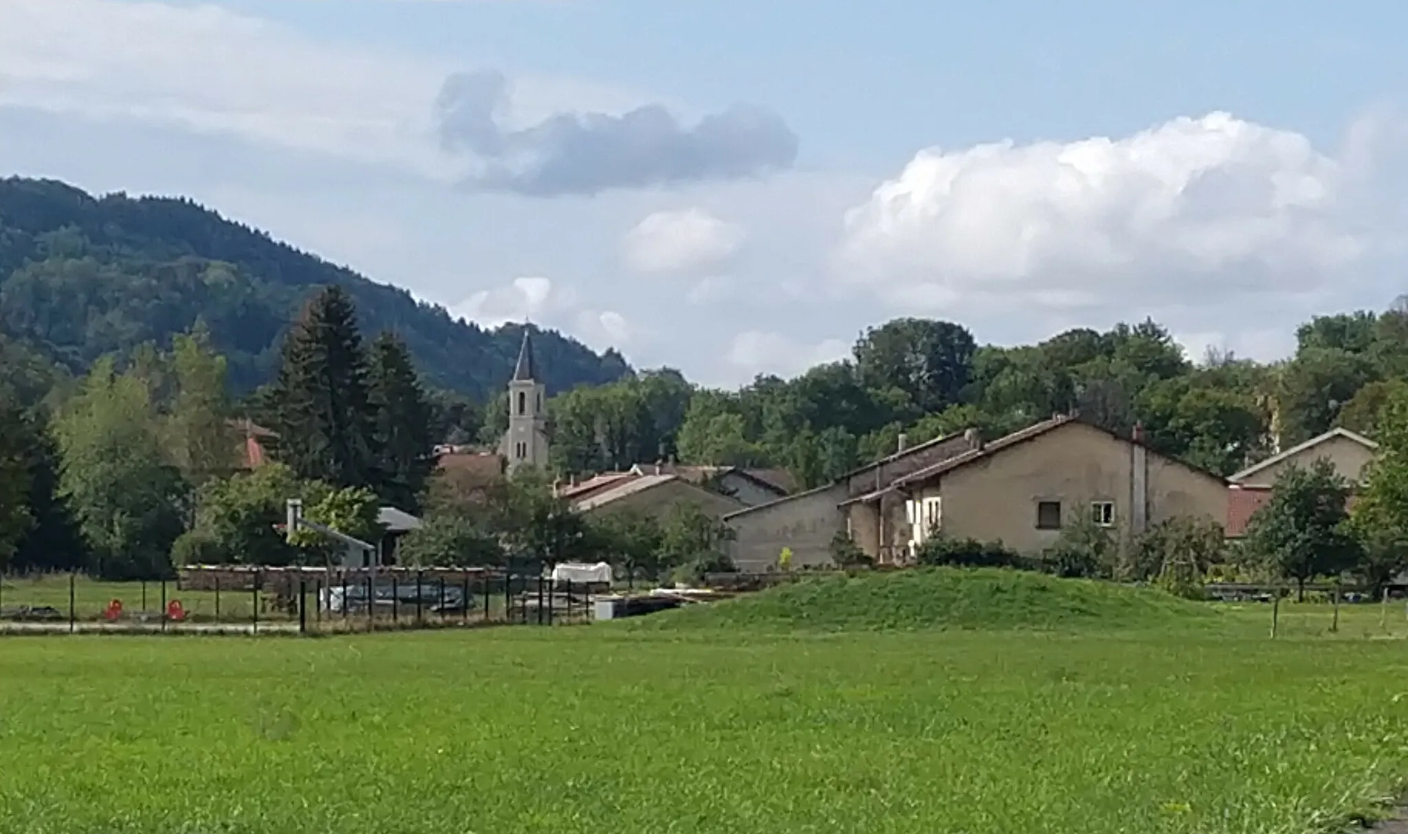
NantuaVillageNantua is a picturesque town known for its lake and traditional buildings.
52 km
52 km
Col de Ceignes646 mMountain PassCol de Ceignes is a challenging climb that rewards you with breathtaking views of the surrounding mountains.
64 km
64 km
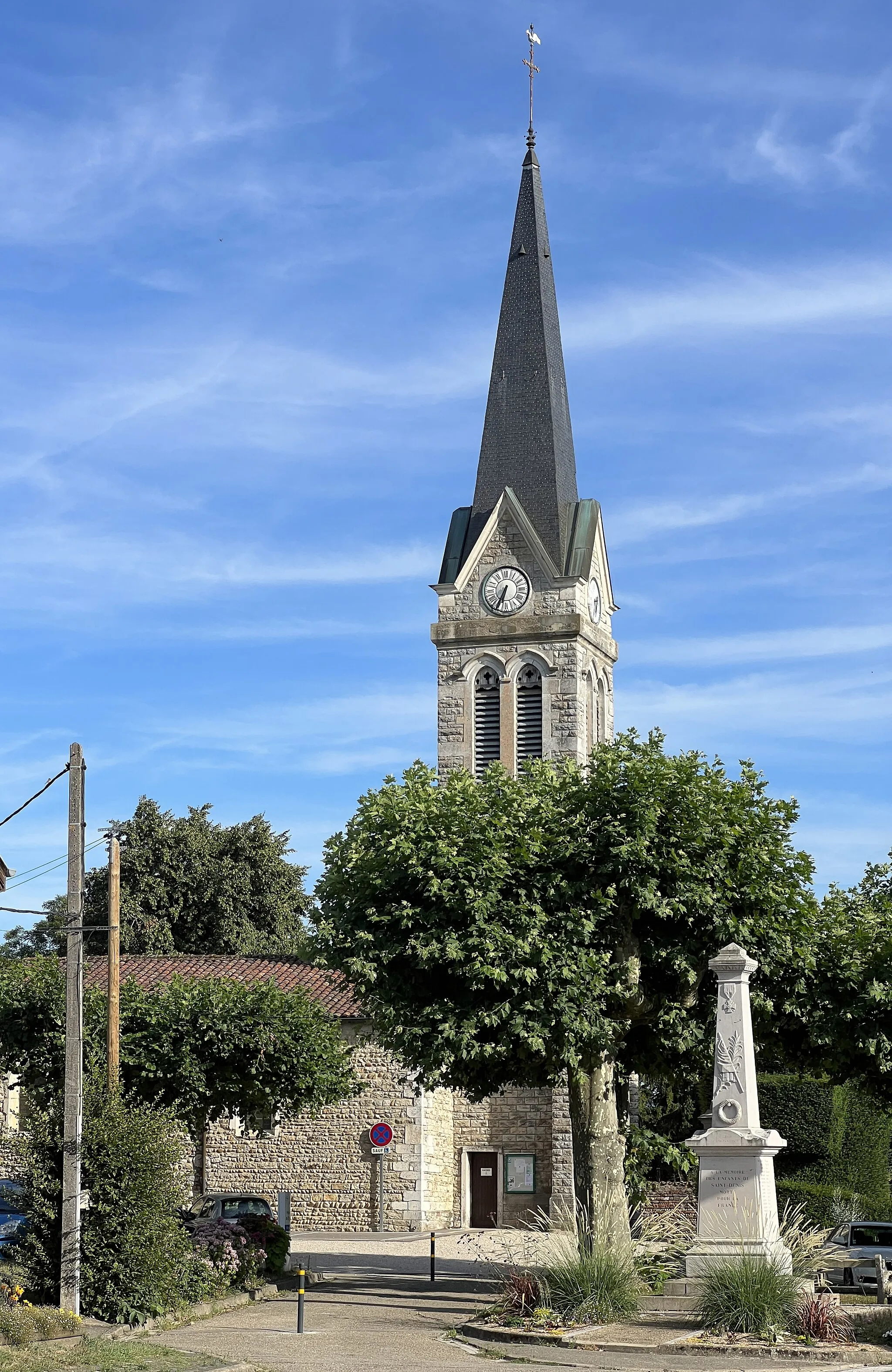
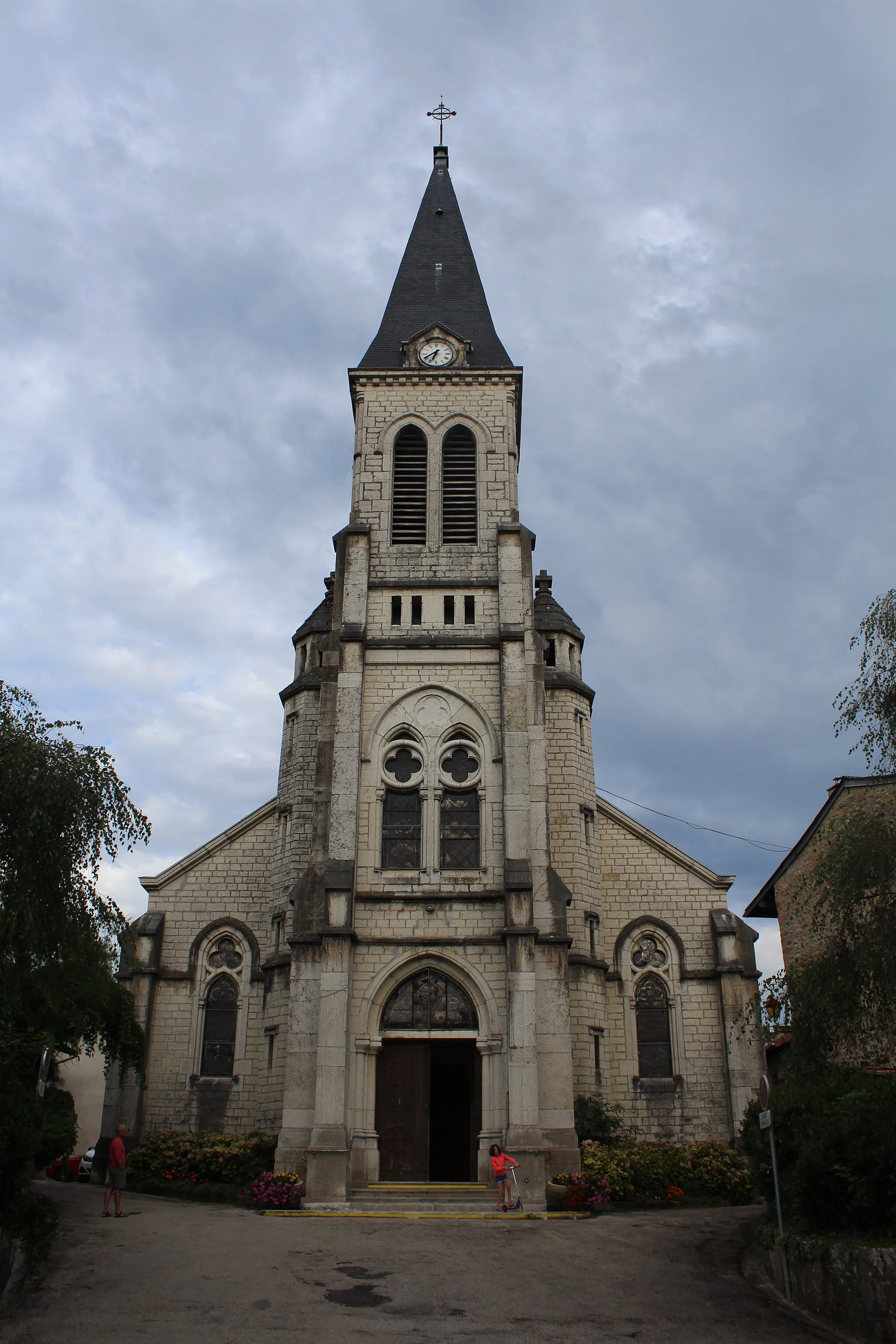
PoncinVillagePoncin is a small village with historical buildings and a charming atmosphere.
76 km
76 km
JournansVillageJournans is a scenic village with traditional French architecture.
82 km
82 km
Finish: Montagnat Village centerMontagnat: Picturesque cycling in the Rhône-Alpes region of France.
Cycling routes from Montagnat:
Cycling routes nearby: