Scenic Roads and Hills
A road cycling route starting from Montagnat
Enjoy a scenic ride through beautiful roads and tackle some challenging hills along the way.
Map
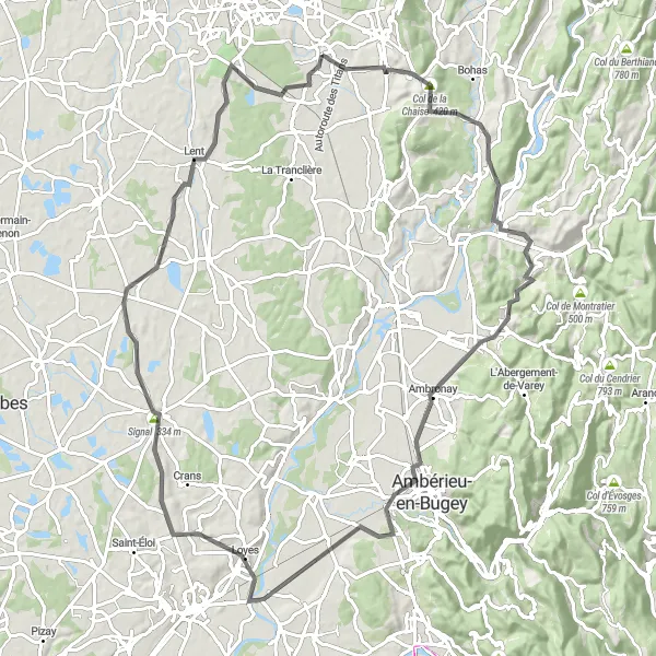
This round-trip cycling route starting from Montagnat offers a scenic journey through picturesque roads and challenging hills. With a total ascent of 735 meters and a distance of 94 kilometers, this route is suitable for intermediate-level cyclists. The difficulty rating for this route is 3 out of 5, making it a good choice for those looking for a mix of challenge and enjoyment. The epicness rating for this route is 4 out of 5, thanks to the stunning natural landscapes and charming villages you'll encounter along the way.
road
94 km
735 m
Tough
Route profile
Highlights on the route
0 km
0 km
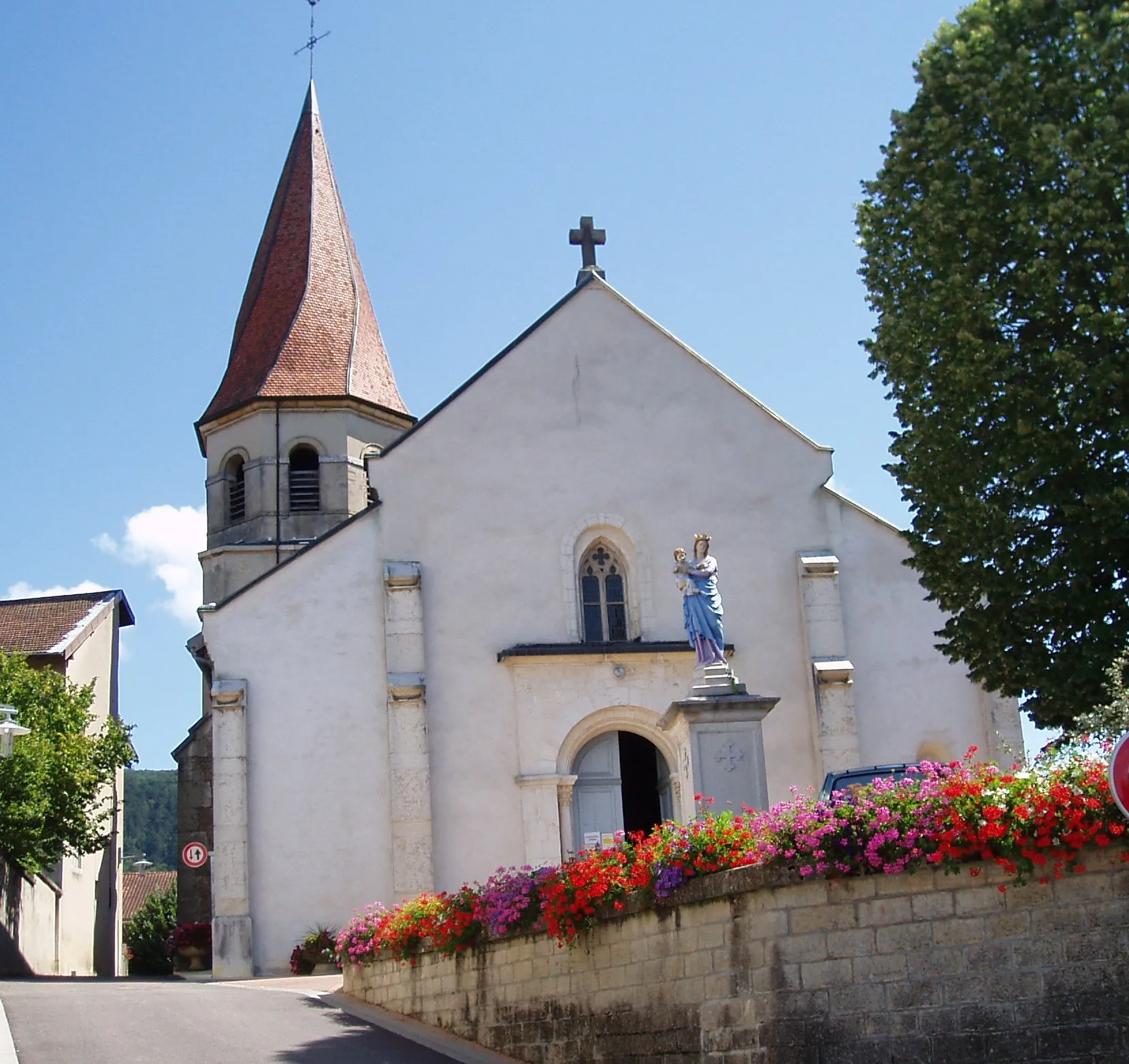
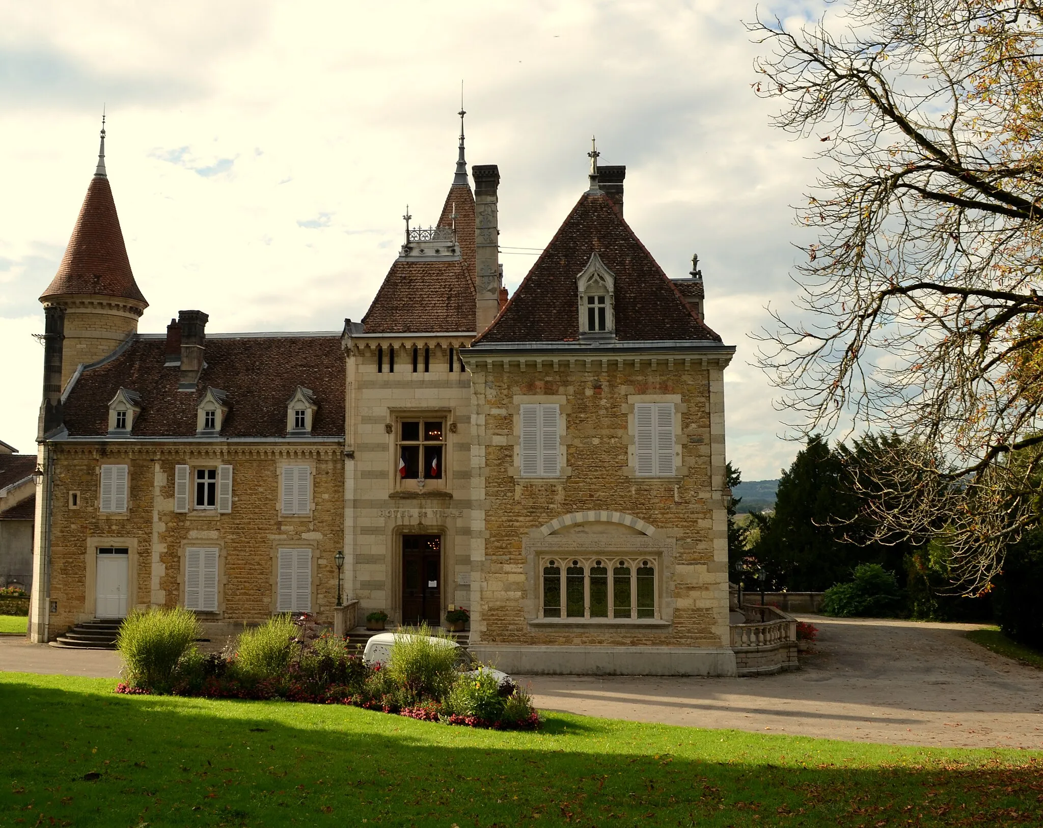
Start: Montagnat Village centerMontagnat: Picturesque cycling in the Rhône-Alpes region of France.
Montagnat is a lovely locality situated in the Rhône-Alpes region of France. From a cyclist's perspective, it offers a mix of flat roads and rolling hills, providing a variety of cycling terrain. The picturesque surroundings and quiet country roads create an enjoyable cycling experience. Although Montagnat itself does not have any well-known cycling spots, it is conveniently located near popular cycling destinations such as Bourg-en-Bresse. Cyclists can explore the beautiful landscapes of the Jura mountains and tackle challenging climbs like Col de la Biche. Montagnat serves as a great base for cycling adventures in the region.0 km
0 km
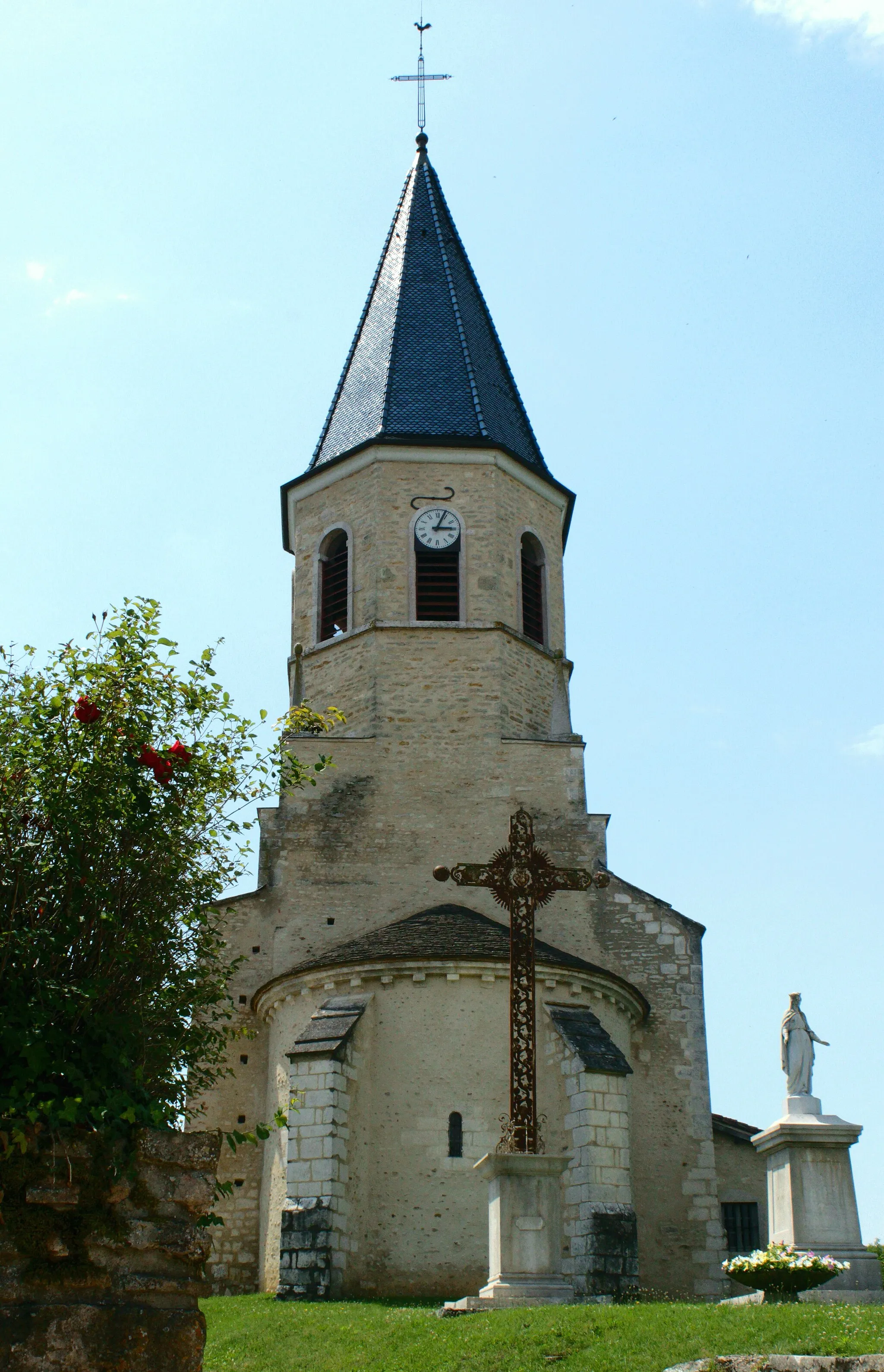
MontagnatVillageMontagnat is the starting point of this beautiful journey through the Rhône-Alpes countryside.
7 km
7 km
Col de la Chaise420 mMountain PassCol de la Chaise offers a challenging climb with panoramic views of the surrounding valleys.
18 km
18 km
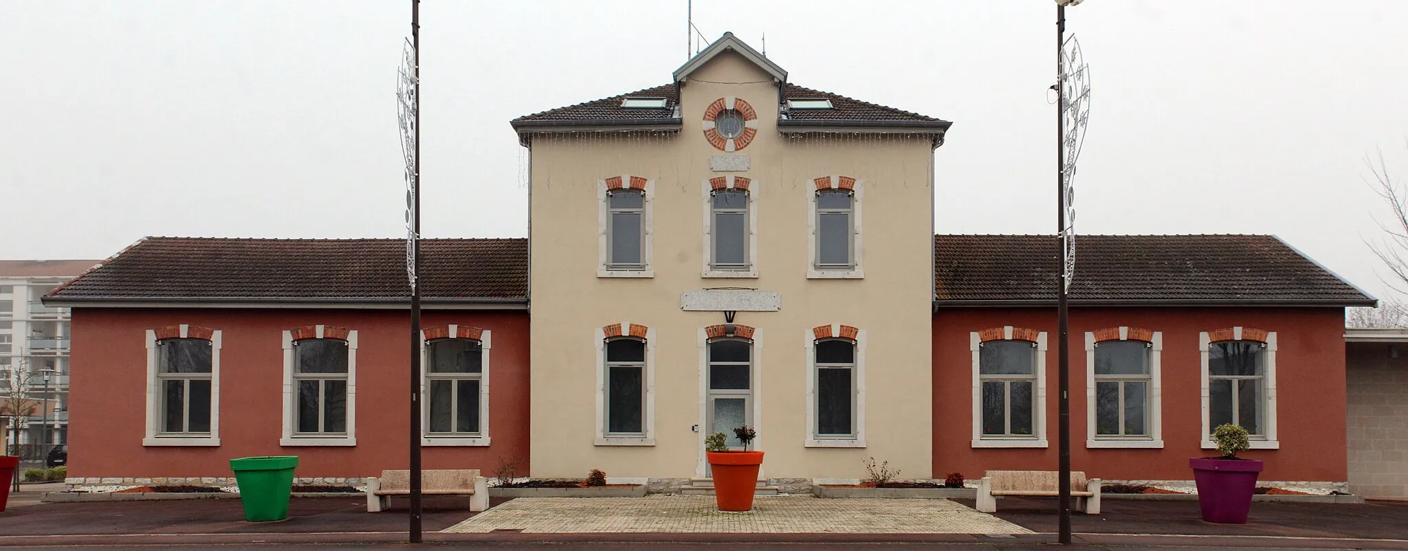
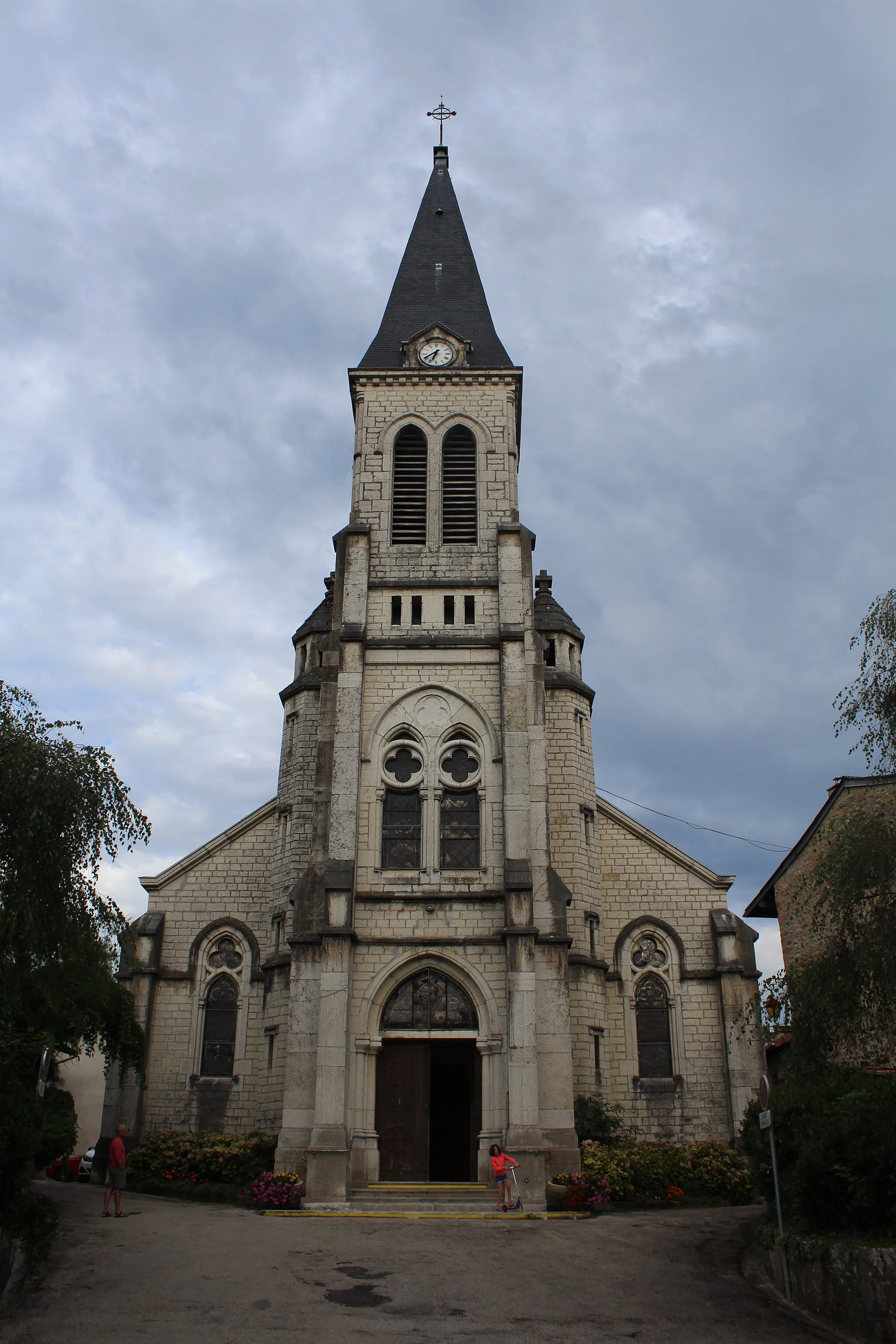
PoncinVillagePoncin is a charming village with traditional houses, narrow streets, and a peaceful atmosphere.
32 km
32 km
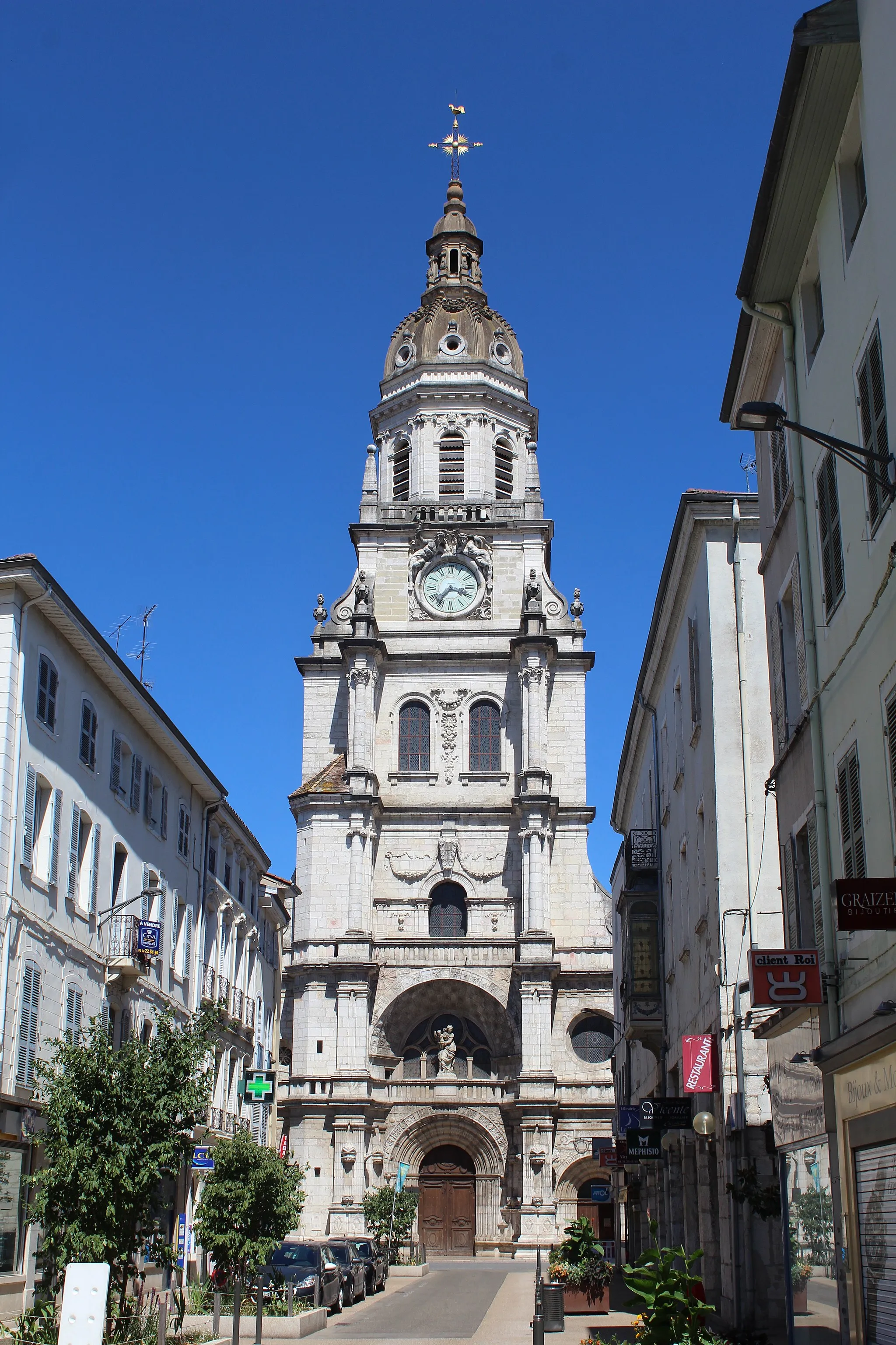
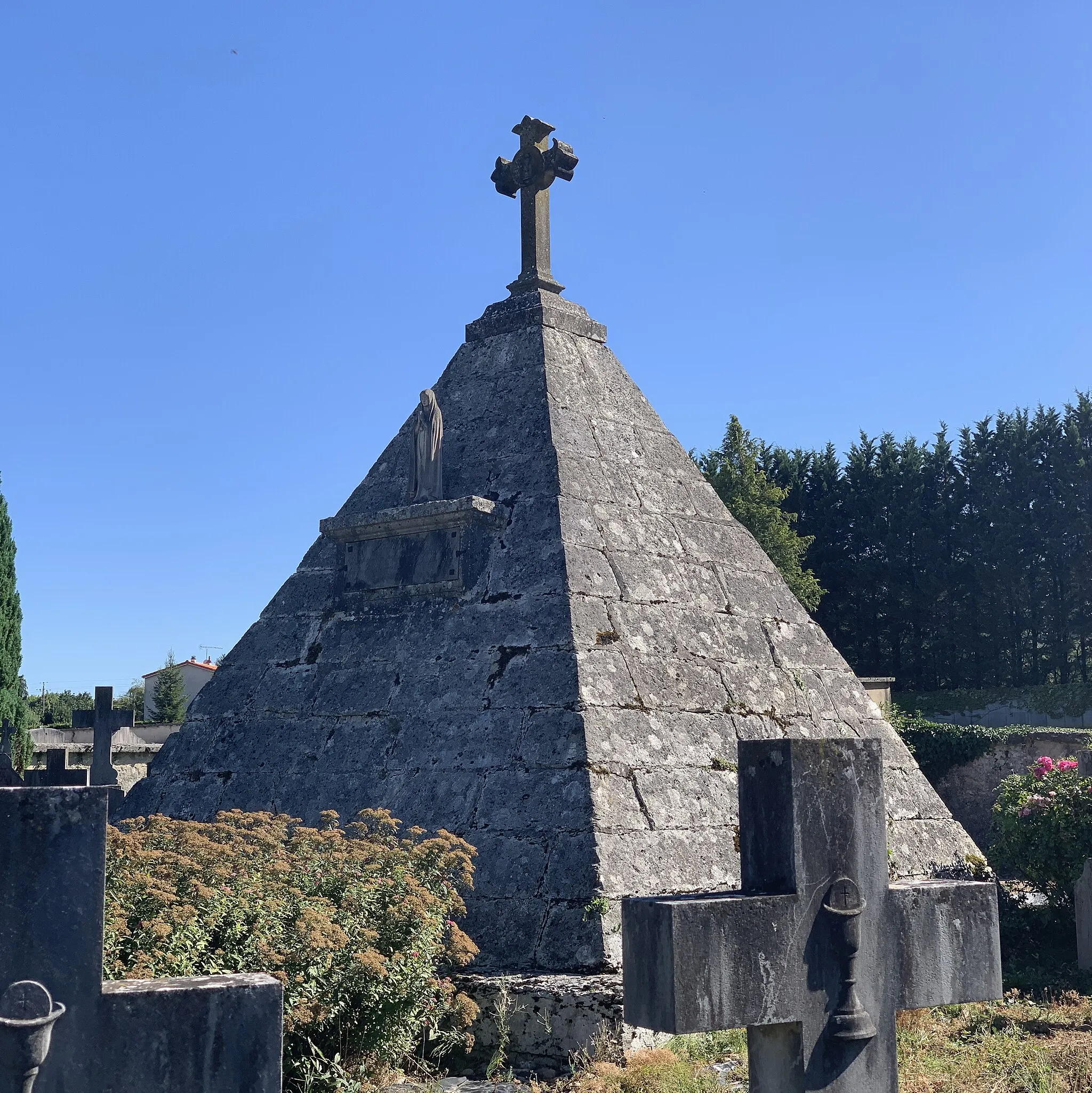
AmbronayVillageAmbronay is known for its historic abbey, which hosts classical music concerts and cultural events.
39 km
39 km
Vue sur la plaine de l'AinViewpointVue sur la plaine de l'Ain offers breathtaking panoramic views of the Ain River valley and surrounding plains.
57 km
57 km
Rignieux-le-FrancVillageRignieux-le-Franc is a picturesque village with traditional stone houses and scenic countryside.
64 km
64 km
Signal334 mPeakSignal is a hilltop viewpoint that offers stunning panoramic views of the Rhône-Alpes region.
71 km
71 km
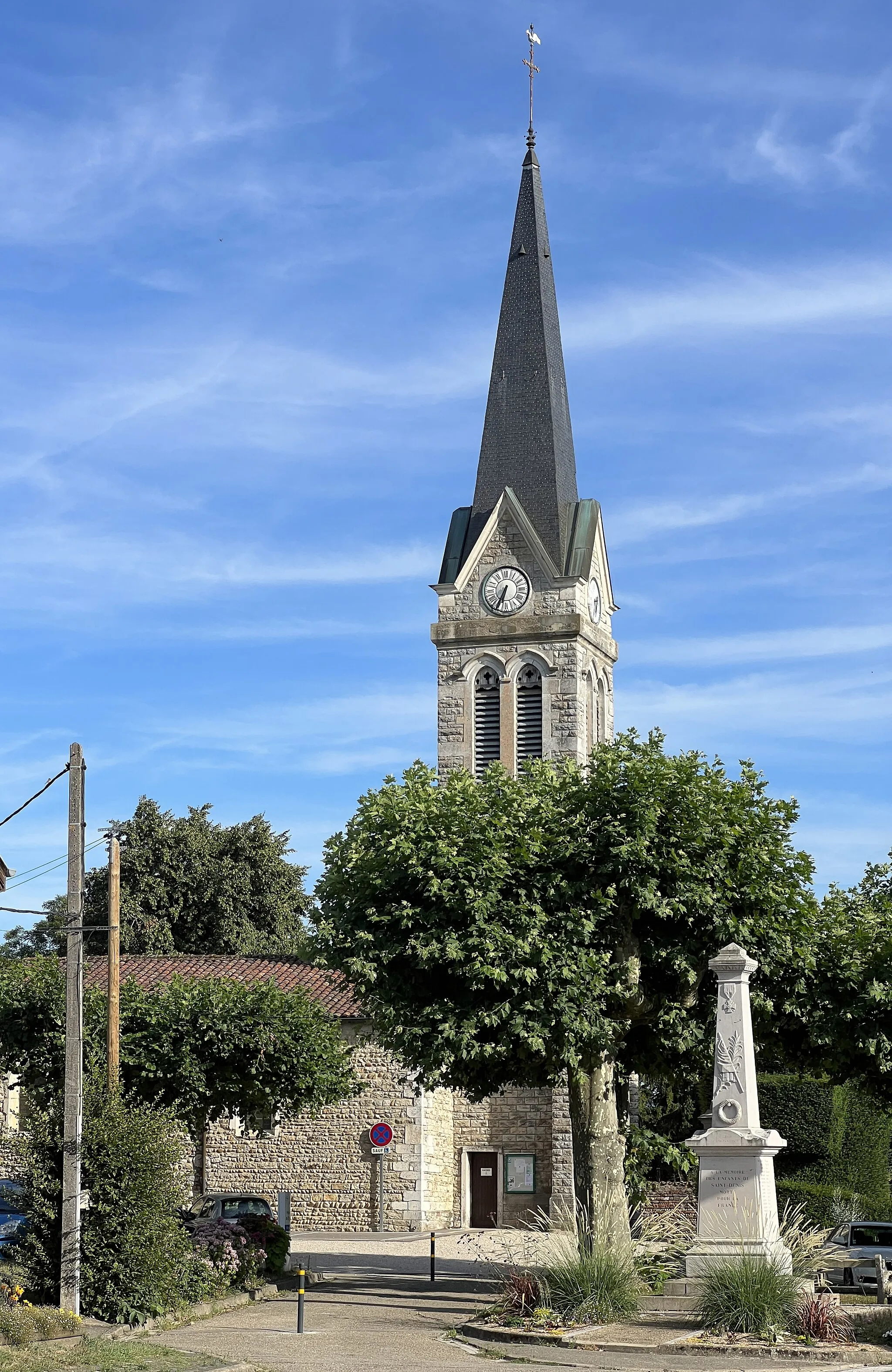
Saint-Nizier-le-DésertVillageSaint-Nizier-le-Désert is a tranquil village nestled in the hills, with a historic church and charming streets.
91 km
91 km
Les RippesHamletLes Rippes is a small hamlet with beautiful views and a peaceful rural atmosphere.
94 km
94 km
Finish: Montagnat Village centerMontagnat: Picturesque cycling in the Rhône-Alpes region of France.
Cycling routes from Montagnat:
Cycling routes nearby: