Exploring the beautiful Rhône-Alpes countryside and visiting the famous Beaujolais wine region.
Cycling routes from Montmerle-sur-Saone
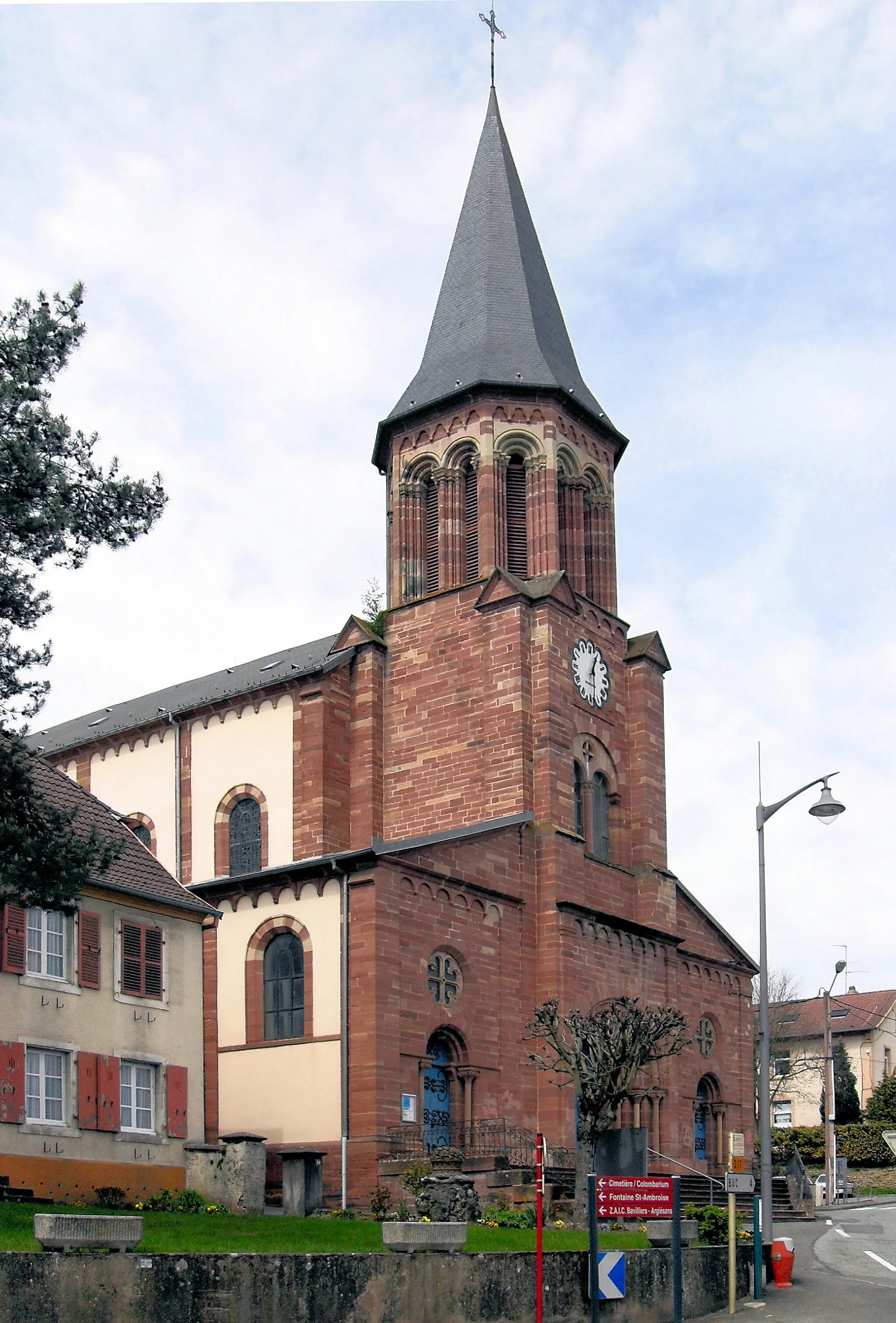
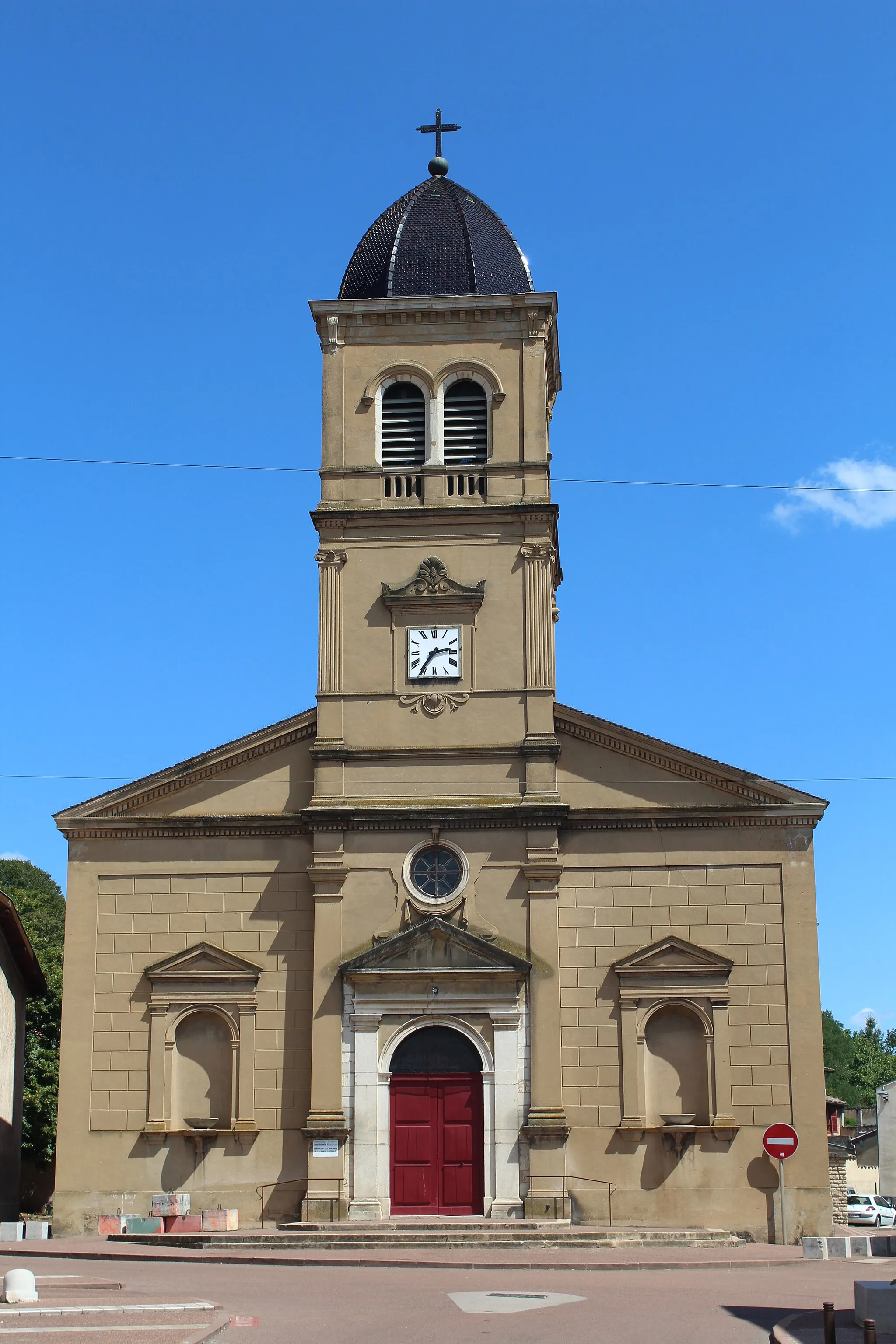
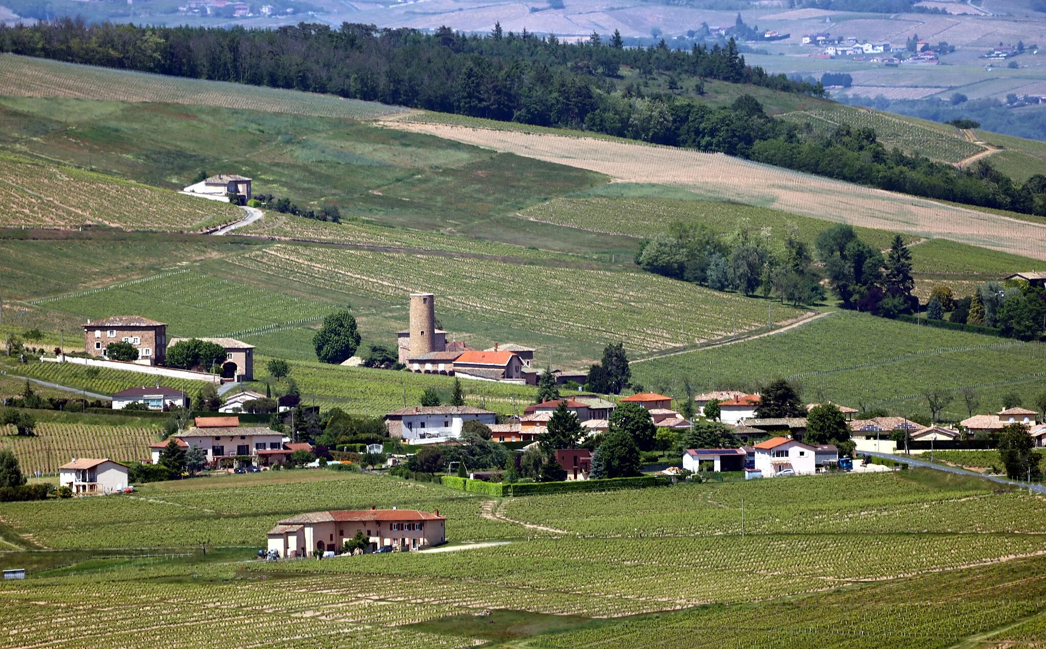
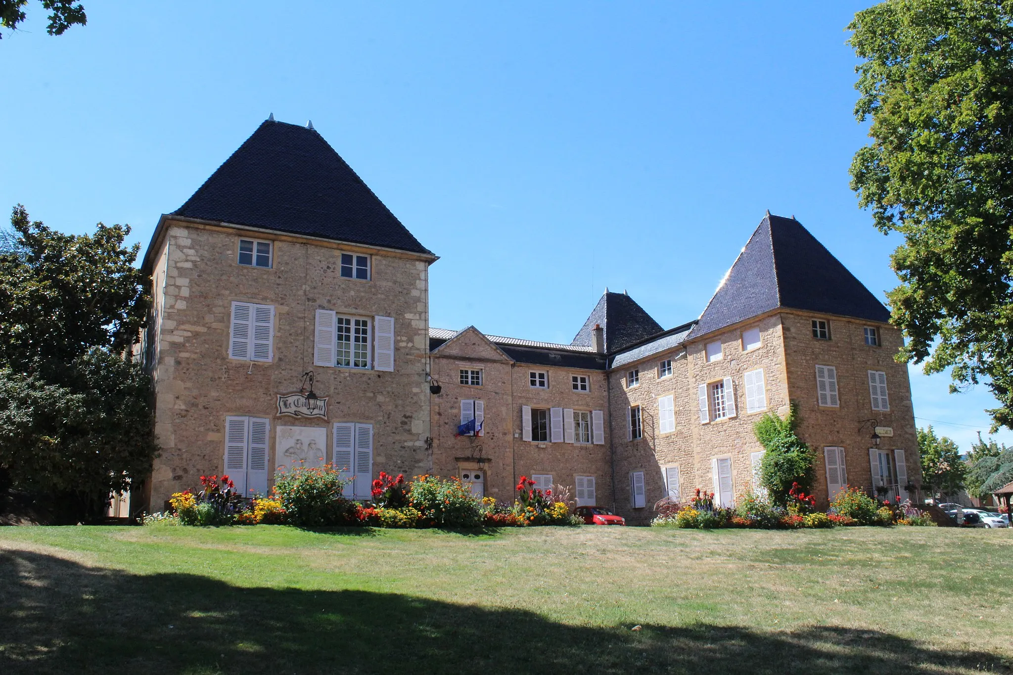
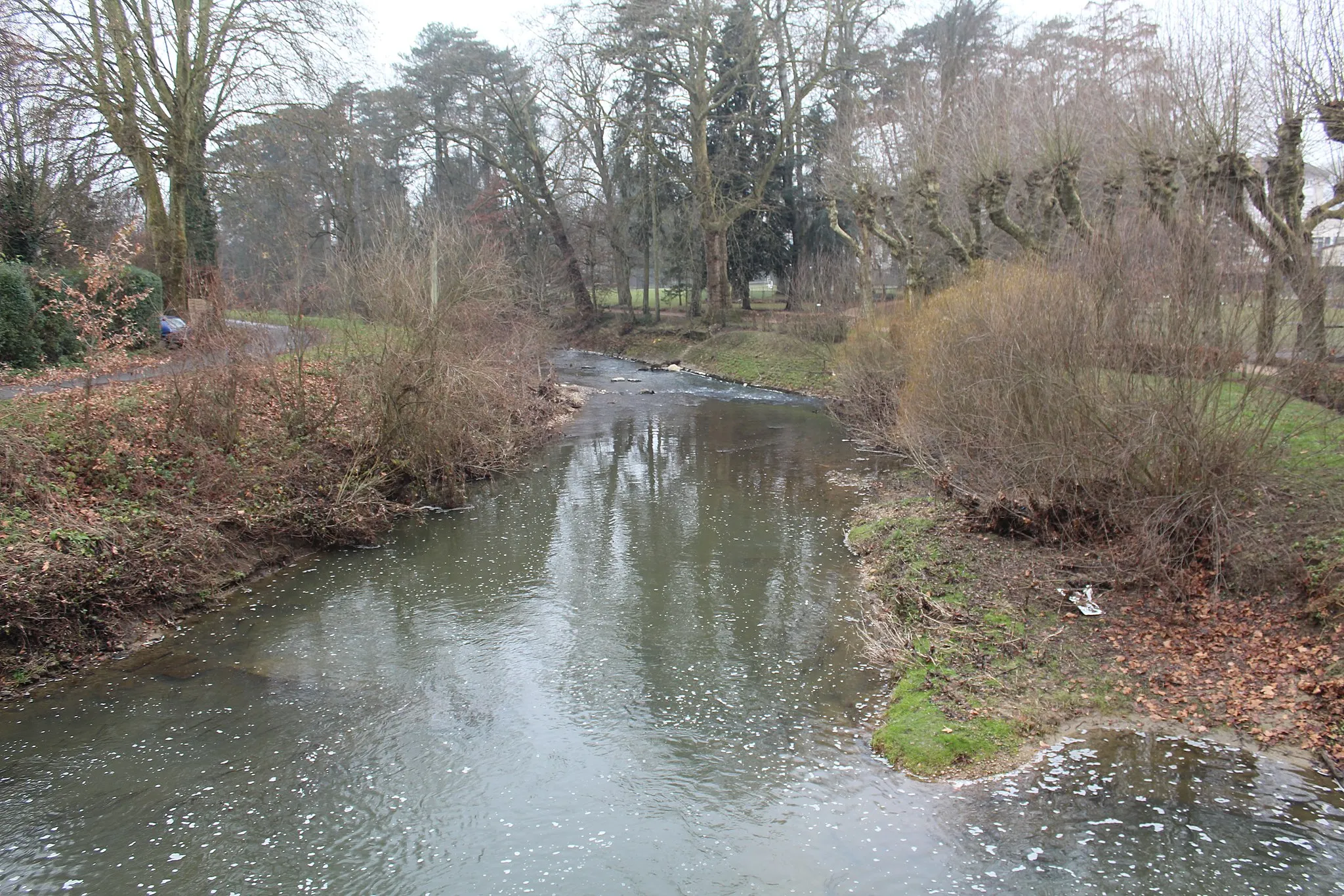
Montmerle-sur-Saône, situated in Rhône-Alpes, France, is a charming locality for road and gravel cyclists. The area is known for its picturesque countryside and scenic cycling routes along the Saône River. While there are no famous cycling-related spots or well-known climbs directly in Montmerle-sur-Saône, there are several nearby attractions to explore. One notable attraction is the famous Beaujolais wine region, which is located approximately 20 kilometers west of Montmerle-sur-Saône. Cycling through the vineyards and enjoying wine tastings can be a delightful experience in the area.
Glimpses of Bresse
Discover the beautiful Bresse landscape by road bike
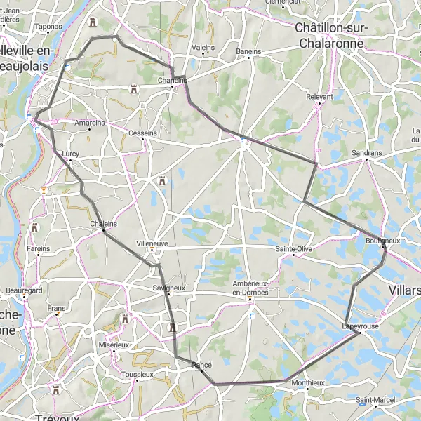
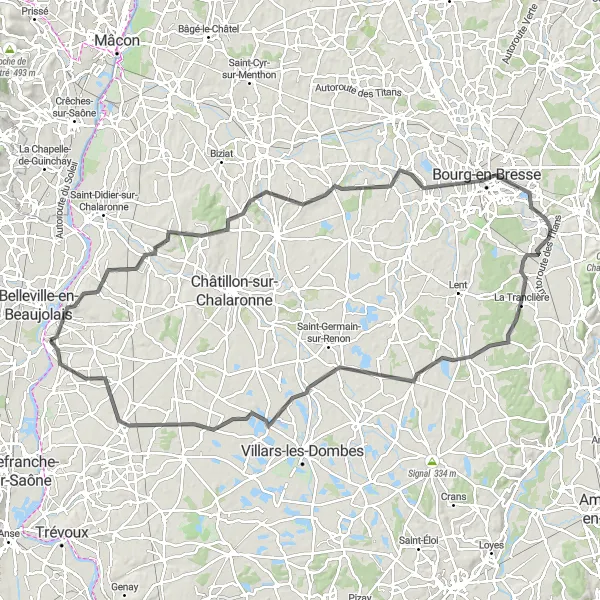
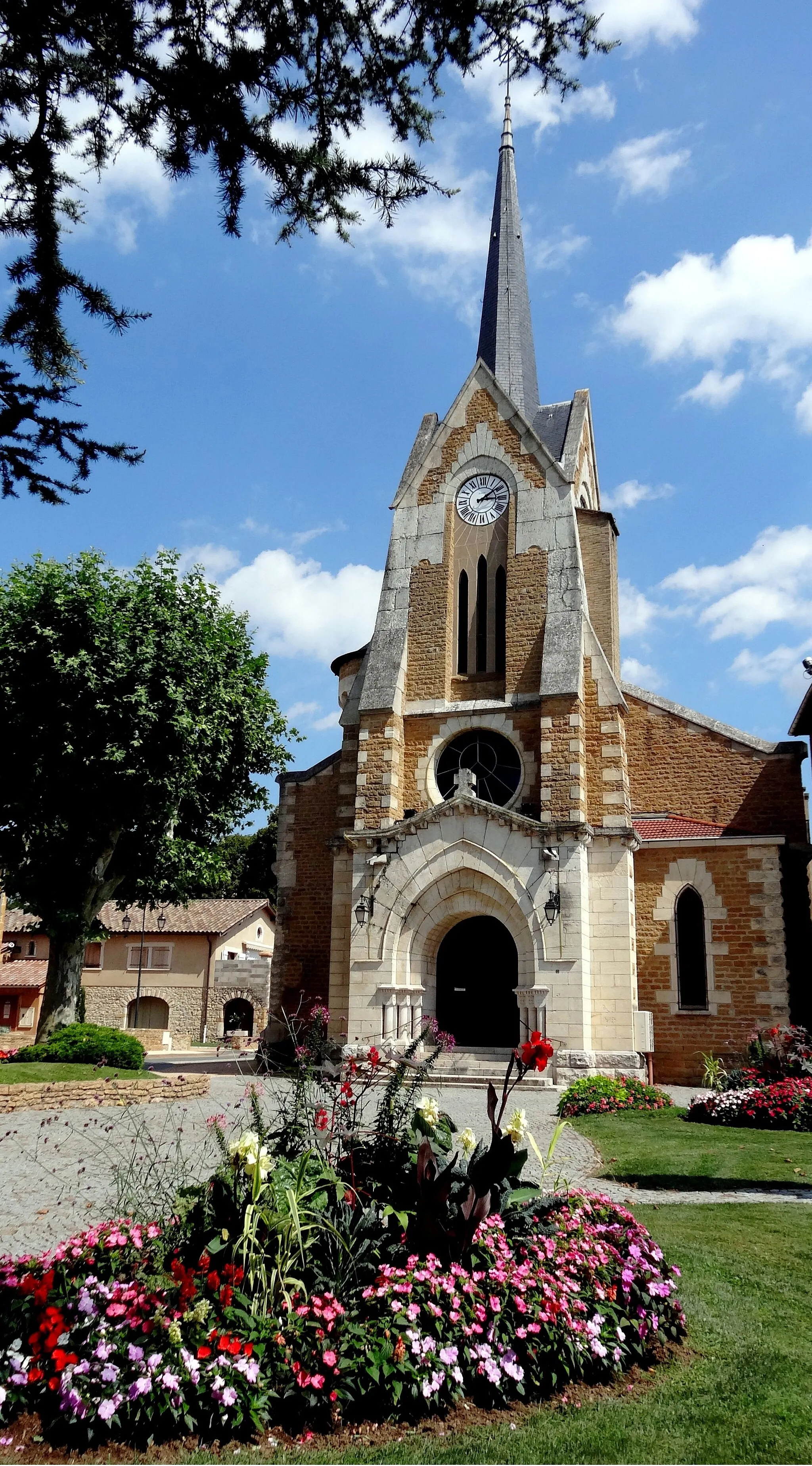
The Glimpses of Bresse cycling route takes you on a journey through the captivating Bresse landscape. Covering a total distance of 60 kilometers and an ascent of 308 meters, this road cycling route is suitable for cyclists looking for a moderate challenge. Along the way, you'll encounter charming villages and enjoy picturesque views of the countryside. Highlights of this route include the historic village of Chaneins and the scenic village of Bouligneux. With a difficulty level of 4 and an epicness score of 3, this route offers a rewarding experience for well-trained amateurs.
Escape to the peaceful countryside near Montmerle
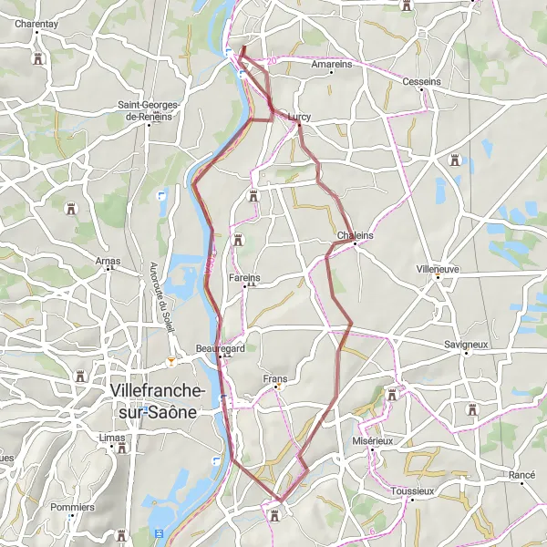
The Countryside Escape gravel cycling route offers a delightful journey through the peaceful countryside near Montmerle-sur-Saône. Covering a distance of 43 kilometers and an ascent of 187 meters, this gravel route is perfect for cyclists seeking a relaxed and scenic ride. Along the way, you'll encounter charming villages and enjoy the beauty of the natural surroundings. Highlights of this route include the idyllic village of Guéreins and the picturesque town of Cormoranche-sur-Saône. With a difficulty level of 2 and an epicness score of 2, this route is suitable for beginners or those looking for a leisurely gravel ride.
A picturesque ride through the Val de Saône
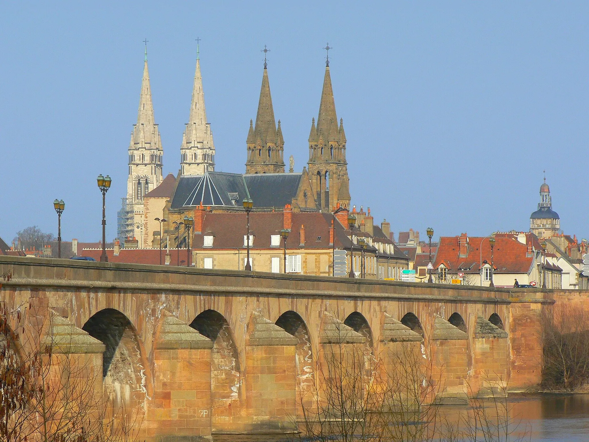
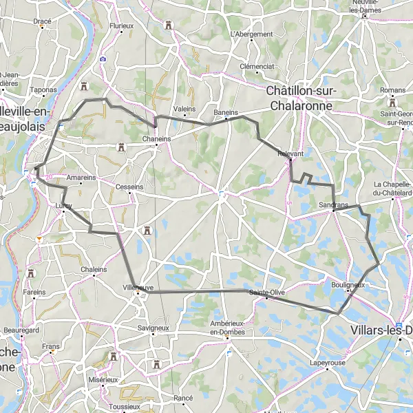
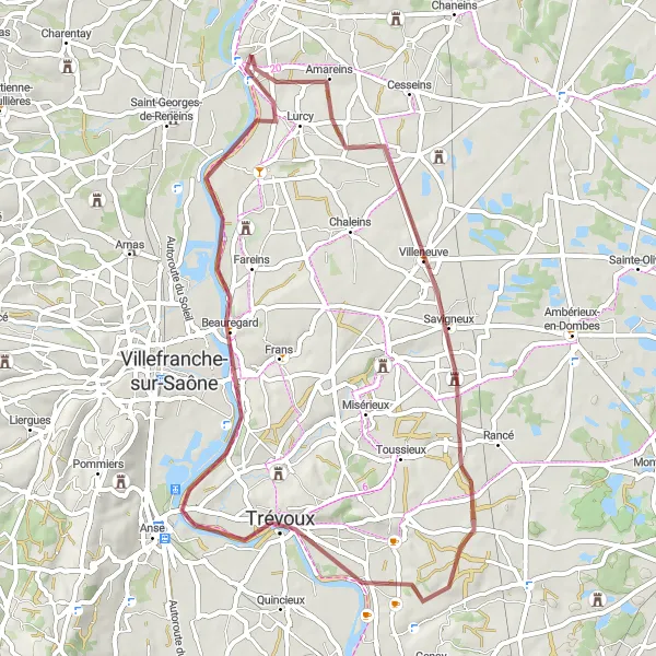
The Montmerle and Val de Saône cycling route takes you on a picturesque journey through the beautiful Val de Saône. With a total distance of 58 kilometers and an ascent of 227 meters, this road cycling route is ideal for cyclists looking for a moderate challenge. Along the way, you'll pass through charming villages and enjoy stunning views of the Saône River. The highlights of this route include the quaint village of Déromptey, with its historic charm, and the scenic village of Baneins, surrounded by vineyards. With a difficulty level of 3 and an epicness score of 2, this route is suitable for well-trained amateurs.
Embark on an exciting gravel adventure through idyllic forests and picturesque fields.
Get ready to rough it out with this thrilling gravel cycling route that covers 35 km and includes an ascent of 200 meters. Enjoy the off-road experience as you pedal through stunning natural landscapes, discovering hidden gems along the way. This route is perfect for those seeking a challenging and adrenaline-filled cycling adventure.
Embark on an off the beaten path gravel exploration in Rhône-Alpes.
Get off the main roads and discover the hidden gems of Rhône-Alpes with this 51 km gravel cycling route. Enjoy a peaceful ride through rural landscapes, vineyards, and charming villages. This route offers a unique and immersive experience, allowing you to fully appreciate the serenity of the region. Step out of your comfort zone and explore the lesser-known corners of Rhône-Alpes while enjoying the thrill of gravel cycling.
Escape into the rural beauty of Rhône-Alpes with this scenic gravel route.
Embark on a gravel cycling adventure through the idyllic countryside of Rhône-Alpes. This route covers 53 km and includes an ascent of 240 meters, taking you through quaint villages and rural landscapes. Immerse yourself in the tranquility of the region as you pedal along scenic paths and enjoy the serenity of nature. This route is perfect for gravel enthusiasts and nature lovers looking to discover the hidden treasures of Rhône-Alpes.
Embark on an epic journey through the breathtaking hills of Rhône-Alpes.
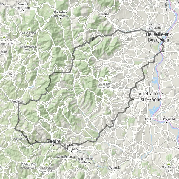
Prepare for a challenging road cycling route of 124 km with a total ascent of 2151 meters. While cycling through the enchanting hills of Rhône-Alpes, you will be treated to stunning panoramic views and picturesque landscapes. From quaint villages to iconic climbs, this route has it all. Conquer difficult ascents, including the Col de la Cambuse, and enjoy the thrill of riding in one of France's most beautiful regions.
The Saône Valley Adventure
Experience the scenic beauty of the Saône Valley with this challenging road cycling route.
Take on the Saône Valley Adventure and embark on a memorable cycling journey through picturesque landscapes. This road cycling route covers a distance of 114 km, with an ascent of 671 meters. The route takes you through charming towns and villages, allowing you to soak up the rich history and culture of the region. Be prepared for rolling hills and stunning views along the way.
Embark on an adventure through gravel roads near Montmerle
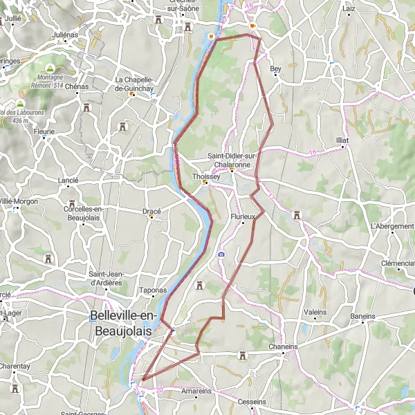
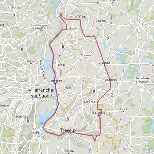
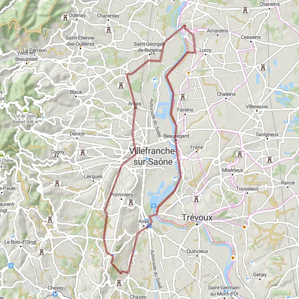
The Gleaming Gravel cycling route takes you on an exciting adventure through the gravel roads near Montmerle-sur-Saône. Covering a distance of 53 kilometers and an ascent of 362 meters, this gravel cycling route offers a thrilling experience for cyclists looking for off-road adventures. Along the way, you'll discover hidden gems and enjoy the beauty of the surrounding countryside. Highlights of this route include the charming village of Jassans-Riottier and the picturesque town of Anse. With a difficulty level of 3 and an epicness score of 2, this route is suitable for well-trained amateurs seeking a gravel challenge.
Beaujolais Panorama
Explore the breathtaking scenery of the Beaujolais region
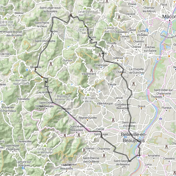
The Beaujolais Panorama cycling route takes you on an exhilarating journey through the breathtaking Beaujolais region. Covering a distance of 87 kilometers and an ascent of 1077 meters, this road cycling route is suitable for experienced cyclists seeking a challenging ride. Along the way, you'll discover charming villages, majestic mountain landscapes, and iconic landmarks. Highlights of this route include the picturesque village of Saint-Lager, the impressive Mont Brouilly, and the challenging climb up the Col de Crie. With a difficulty level of 5 and an epicness score of 5, this route offers an unforgettable cycling experience.
Cycling routes nearby:


Nearby regions: