Mountain Challenge
A road cycling route starting from Oyonnax
A thrilling road cycling route for mountain enthusiasts
Map

Embark on a thrilling road cycling route designed for mountain enthusiasts near Oyonnax, Rhône-Alpes. With a distance of 91 km and an ascent of 2007 m, this route offers a challenging and rewarding ride. The highlights along the route include Mont Burdet, Charix, Le Poizat, Le Petit-Abergement, Col de Cuvillat, Ceignes, and Bellignat. These highlight spots offer varying terrains, breathtaking views, and interesting cultural sites that add excitement to your cycling adventure.
road
91 km
2007 m
Savage
Route profile
Highlights on the route
0 km
0 km
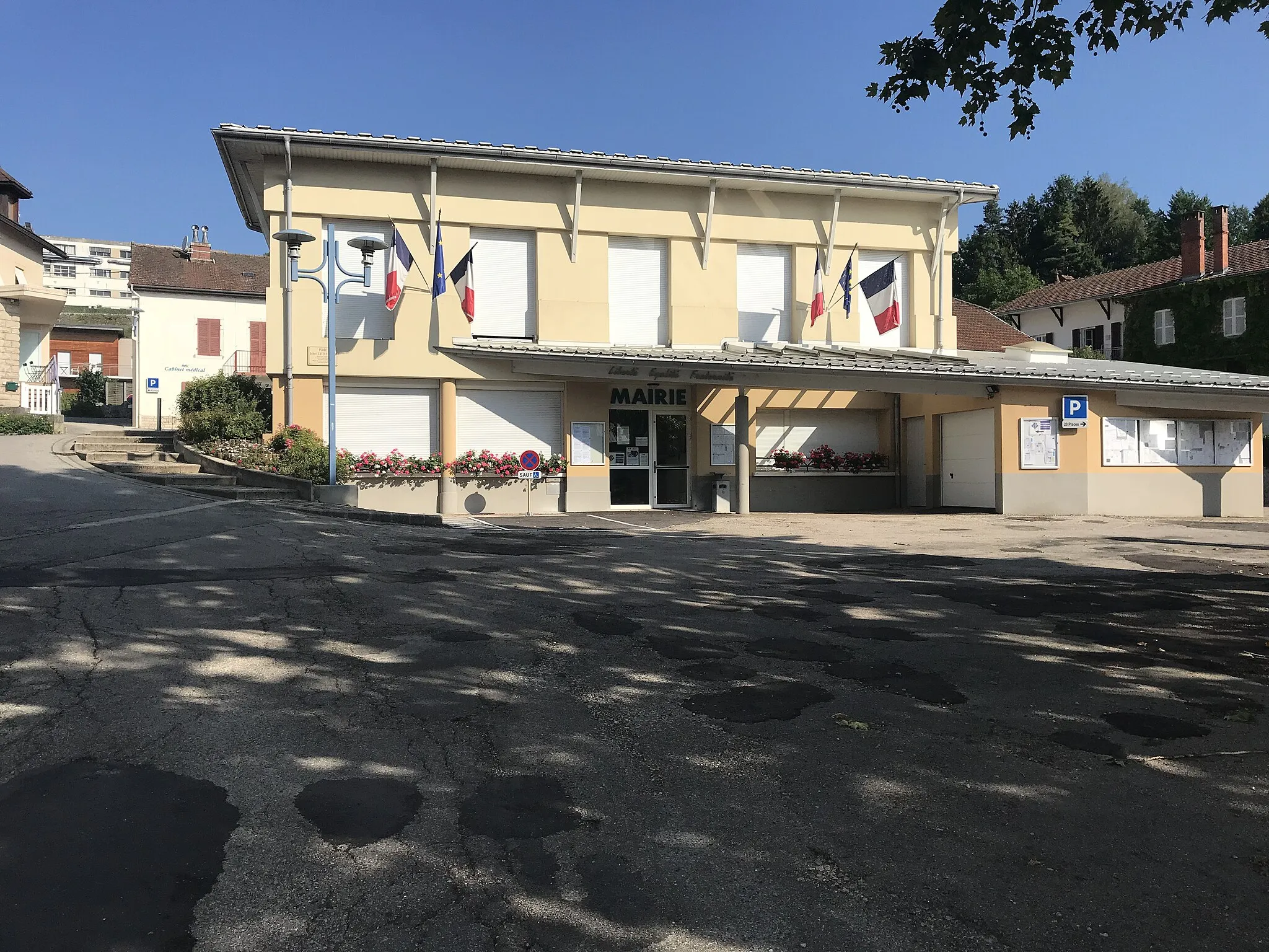
Start: Oyonnax City centerOyonnax: Conquer the Jura Mountains from Oyonnax
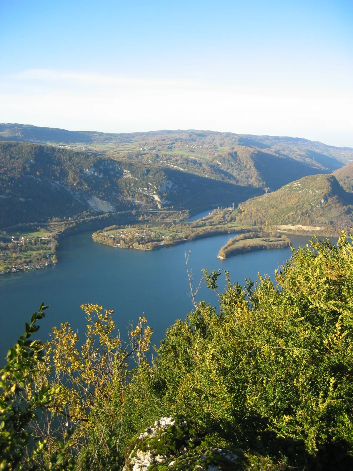
Oyonnax is a town located in the region of Rhône-Alpes, France. The area offers scenic cycling routes through mountains and stunning landscapes. The nearby Jura Mountains provide some iconic climbs and challenging terrain for advanced cyclists. Oyonnax serves as a great base for serious road and gravel cyclists looking for a thrilling and memorable riding experience.9 km
9 km
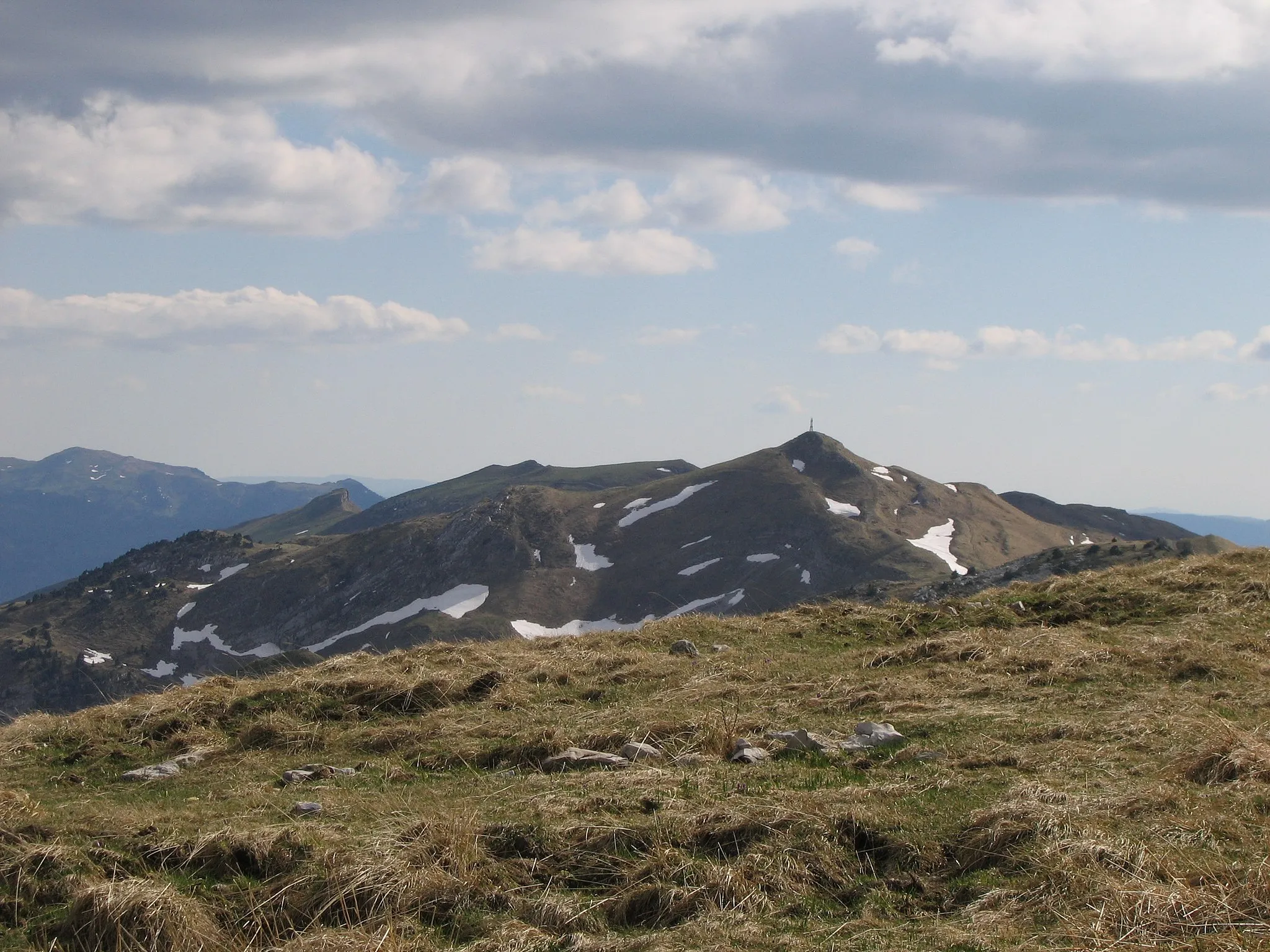
Mont Burdet1043 mPeakMont Burdet is a scenic hill known for its panoramic views of the surrounding mountains. Take a moment to soak in the beauty of the landscape.
12 km
12 km
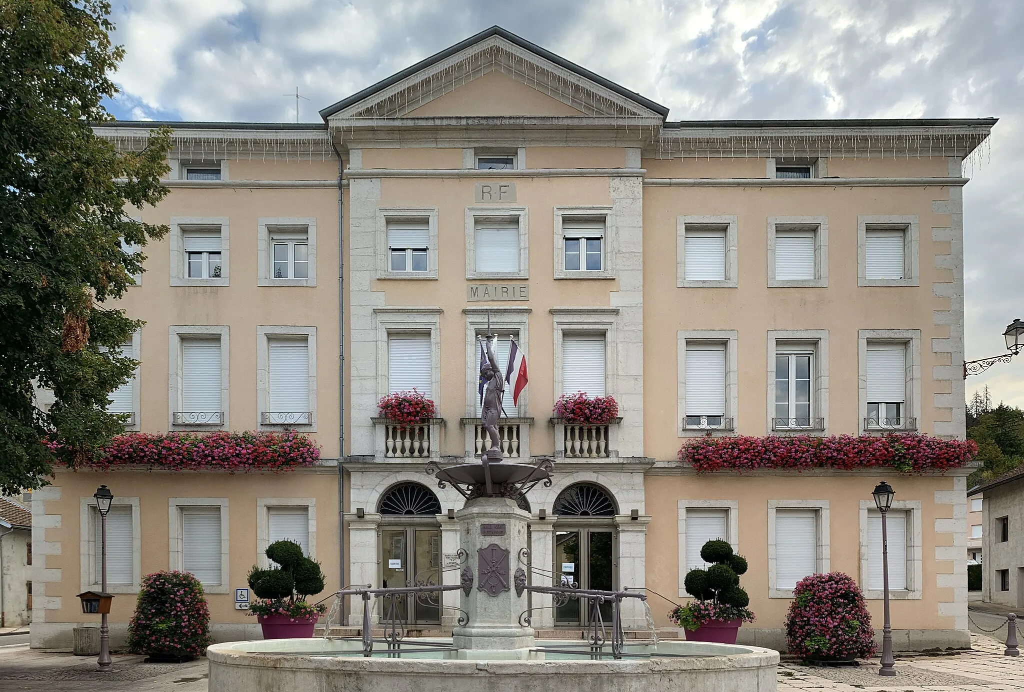
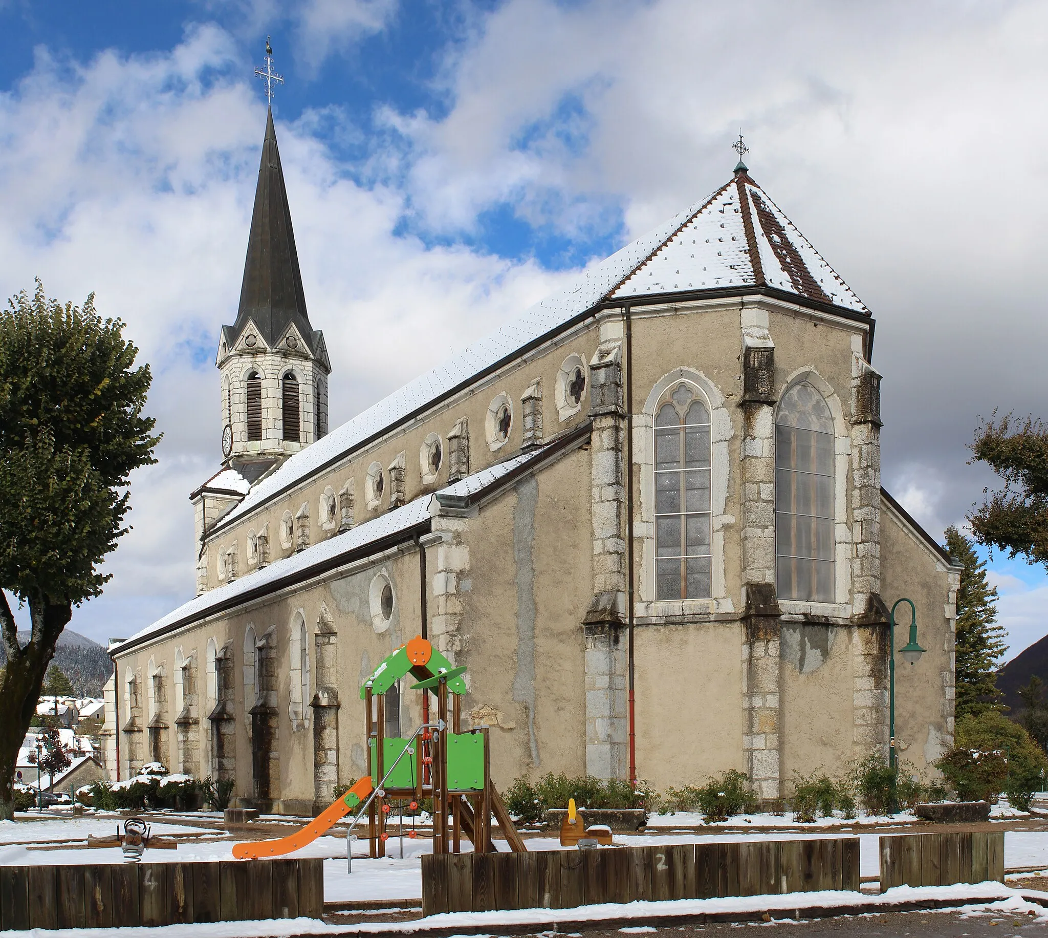
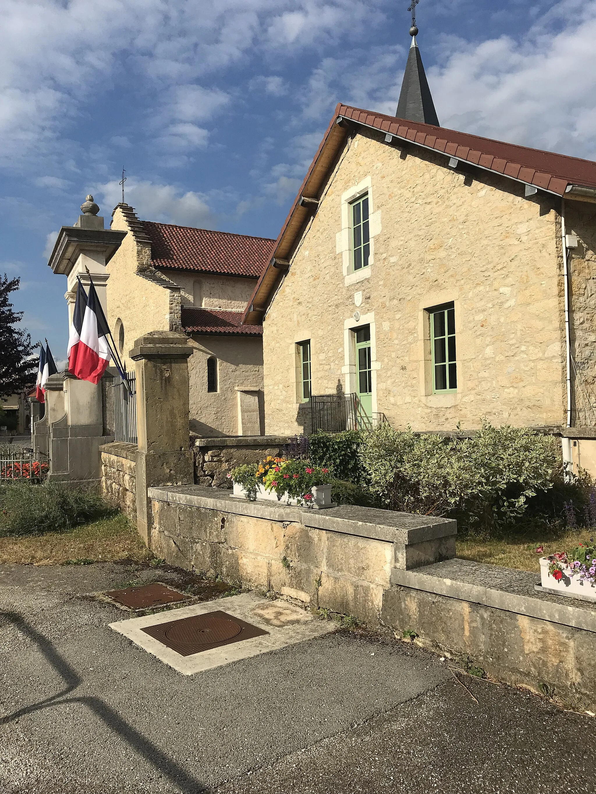
CharixVillageCharix is a charming village with medieval architecture and a rich history. Ride through the narrow streets and discover the hidden gems of this picturesque place.
21 km
21 km
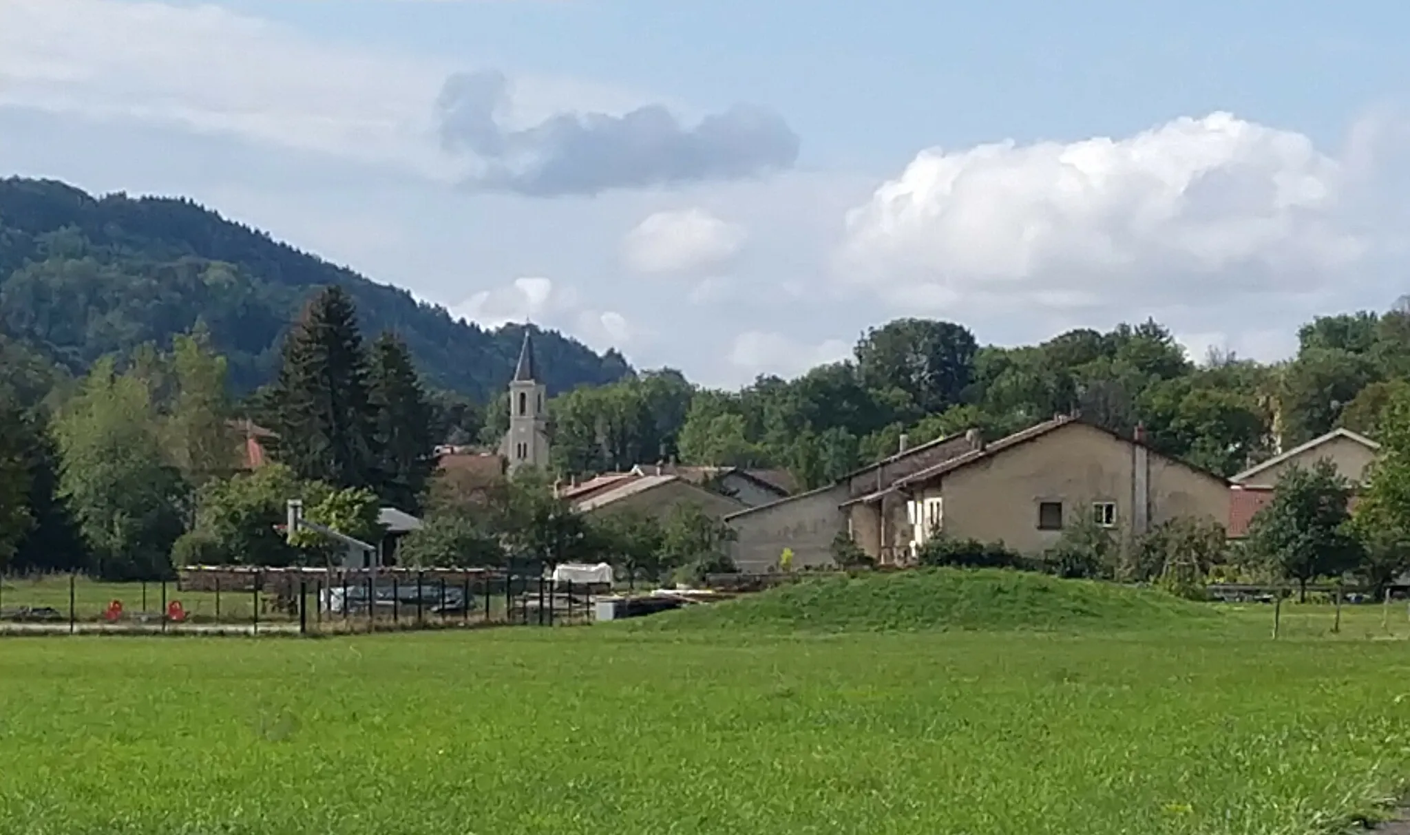
Le PoizatVillageLe Poizat is a small village with traditional houses and a peaceful atmosphere. Explore the streets and immerse yourself in the tranquility of the area.
37 km
37 km
Le Petit-AbergementVillageLe Petit-Abergement is a rural village surrounded by beautiful nature. Enjoy the serene surroundings and relax at one of the local cafes.
41 km
41 km
Col de Cuvillat1073 mMountain PassCol de Cuvillat is a challenging climb that offers stunning views from the top. Push yourself and be rewarded with an unforgettable panorama.
66 km
66 km
CeignesVillageCeignes is a traditional village known for its preserved heritage. Ride through the streets and admire the well-preserved architecture.
87 km
87 km
BellignatVillageBellignat is a vibrant town with a rich industrial history. Explore the local shops and restaurants and experience the dynamic atmosphere of the area.
91 km
91 km
Finish: Oyonnax City centerOyonnax: Conquer the Jura Mountains from Oyonnax
Cycling routes nearby: