Cycling paradise in the Rhône-Alpes region. A must-visit for every cyclist.
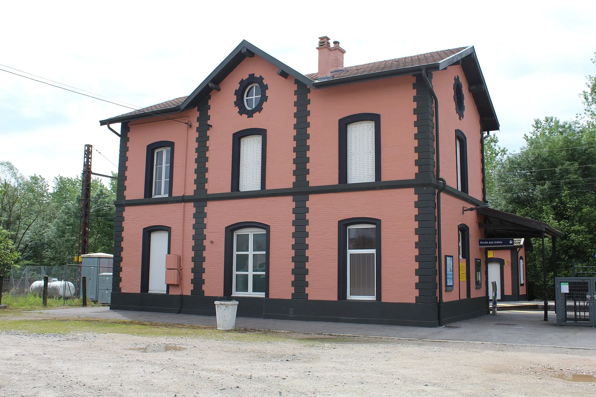
Cycling routes from Polliat
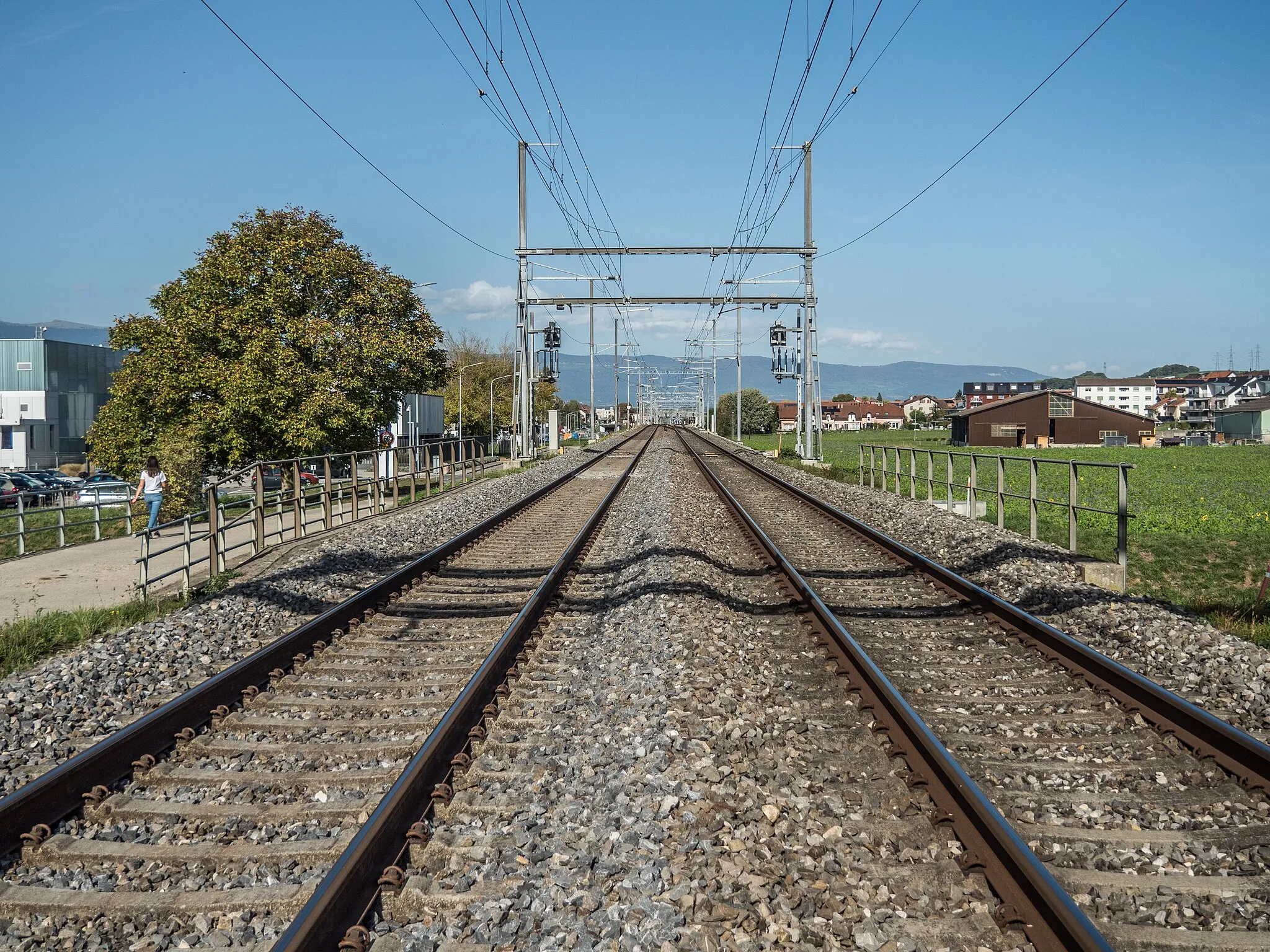
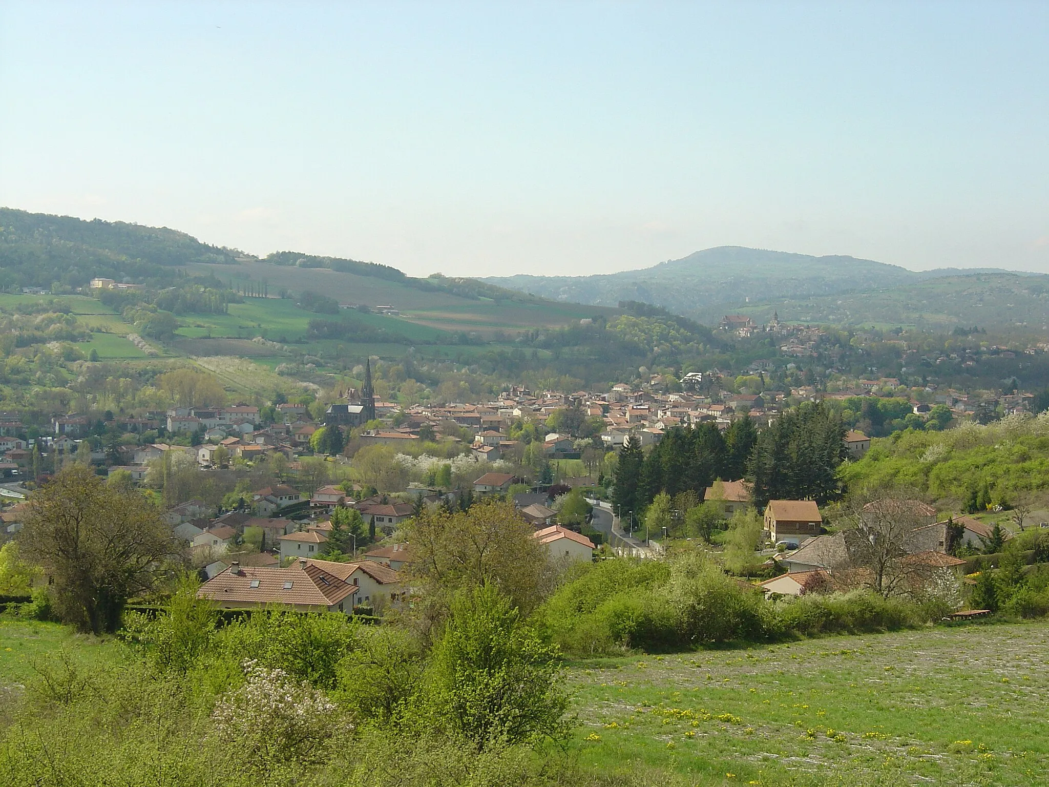
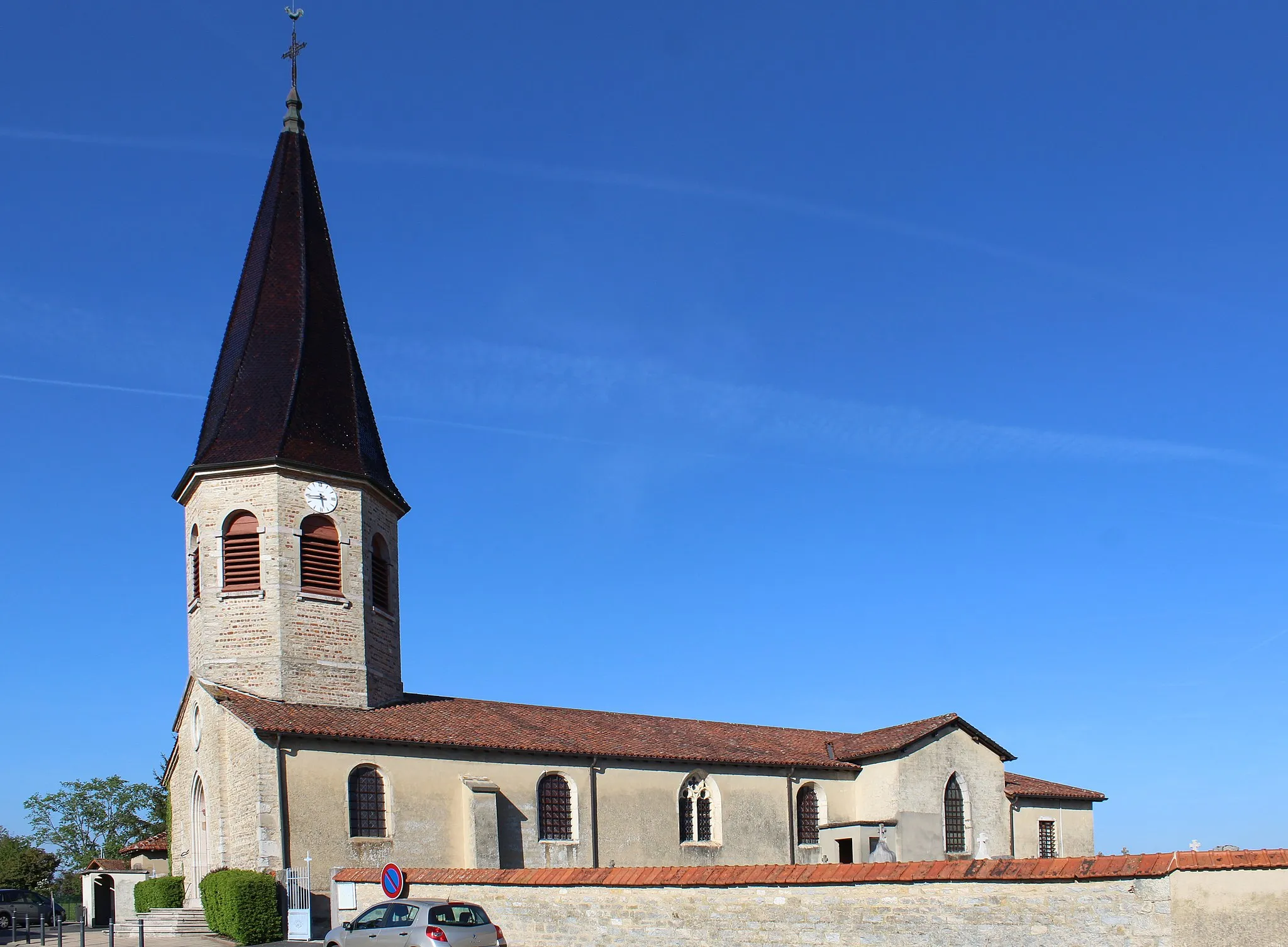
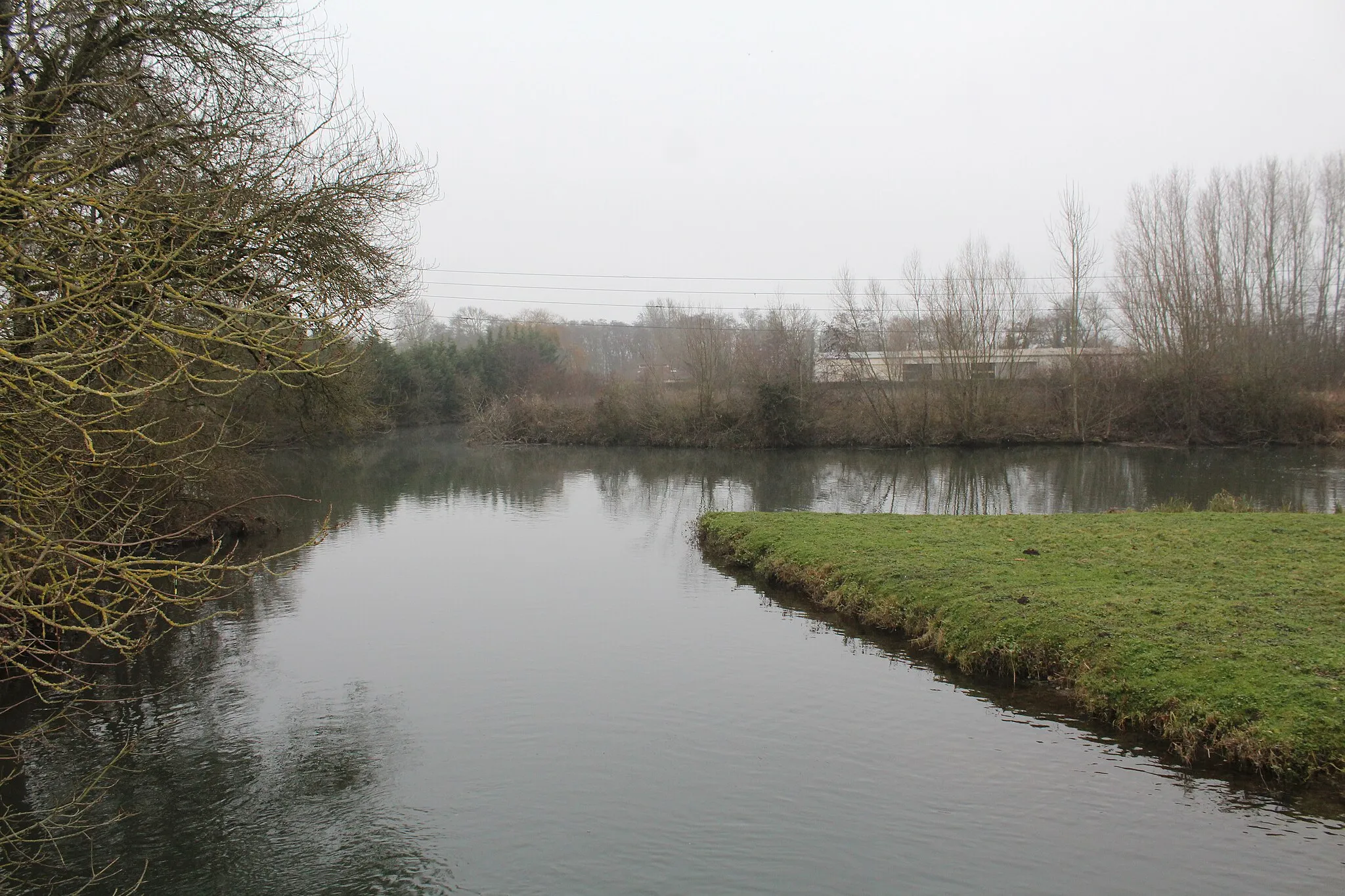
Polliat, situated in the Rhône-Alpes region of France, is a haven for road and gravel cyclists. The locality offers a great variety of cycling routes, including challenging climbs and scenic countryside roads. Cycling enthusiasts will appreciate the well-maintained roads and the picturesque landscapes that surround the town. Polliat is also located near the famous cycling spot, Mont Blanc, which adds to its appeal. With all these factors in mind, Polliat deserves a top cyclist perspective rank of 5.
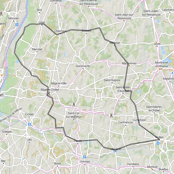
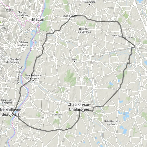
Explore the charming vineyards of Rhône-Alpes
This cycling route takes you through the picturesque vineyards of Rhône-Alpes. With a total distance of 67 km and an ascent of 321 m, this road cycling route is suitable for experienced amateurs. Highlights along the way include the charming town of Mézériat, the beautiful landscapes of Perrex, and the historic village of Bâgé-le-Châtel.
Ride through stunning mountain landscapes with challenging climbs
This round-trip cycling route near Polliat offers a fantastic journey through breathtaking mountain scenery. The route is perfect for experienced cyclists seeking a challenging ride and an opportunity to immerse themselves in nature. With a total ascent of 565 meters and a distance of 79 kilometers, this route promises to test the endurance and skills of even the most well-trained amateurs. The highlight of this route is the stunning views along the ride, as well as the unique villages and towns that you will pass through.
The Historic Cycle
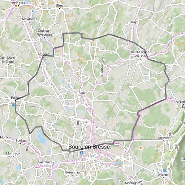
Embark on a journey through history in Rhône-Alpes
Discover the rich history and cultural heritage of Rhône-Alpes with this 52 km road cycling route. With a moderate ascent of 259 m, it is suitable for cyclists of all levels. Highlights along the way include the historic village of Attignat, the vibrant city of Bourg-en-Bresse, and the charming Les Jomins region.
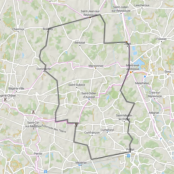
Explore the rural charm of Rhône-Alpes on this cycling route from Polliat to Confrançon.
Get off the beaten path and discover the hidden rural gems of Rhône-Alpes on this road cycling route from Polliat to Confrançon. With a total ascent of 448 meters over a distance of 88 kilometers, this route offers a moderate challenge for cyclists. Experience the tranquility of the countryside, pedal through picturesque villages, and uncover the region's rich cultural heritage.
Off the Beaten Path
Venture into the wilderness of Rhône-Alpes
Escape from the crowds with this 58 km gravel cycling route in the wilderness of Rhône-Alpes. With an elevation gain of 559 m, it provides a thrilling off-road adventure. Highlights along the way include the scenic town of Viriat, the idyllic landscapes of Jasseron, and the challenging Col de la Chaise.
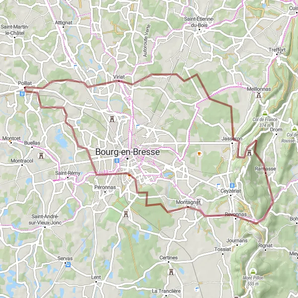
Explore the charming villages and scenic landscapes near Polliat on this road biking adventure.
This round-trip cycling route near Polliat takes you through picturesque countryside, charming villages, and offers stunning views along the way. The route features a moderate difficulty level, with a total ascent of 323 meters over a distance of 56 kilometers. Cyclists of all levels will enjoy the diverse terrain and beautiful scenery this route has to offer.
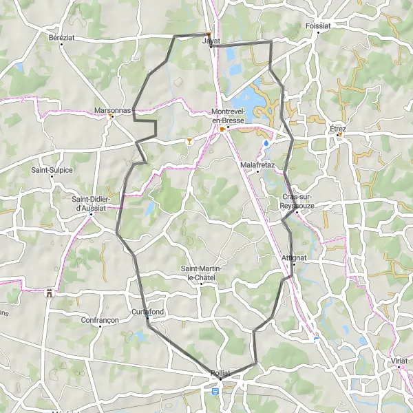
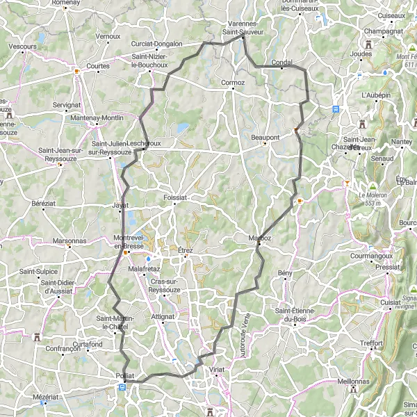
Escape to the scenic valleys of Rhône-Alpes
Immerse yourself in the natural beauty of Rhône-Alpes with this 39 km road cycling route. With a moderate ascent of 168 m, it is suitable for cyclists of all levels. Highlights along the way include the charming village of Marsonnas, the peaceful town of Jayat, and the scenic landscapes of Attignat.
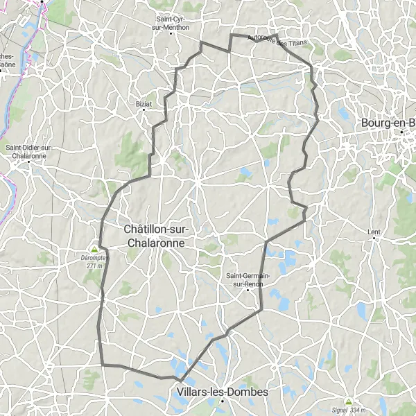
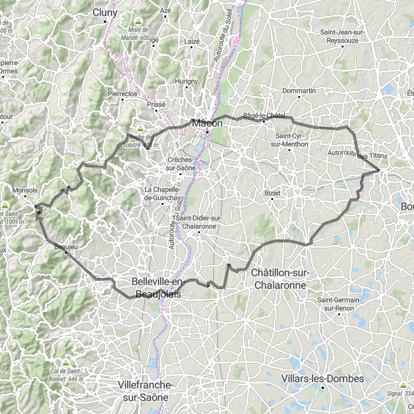
Embark on a scenic journey through the Beaujolais wine region on this road cycling route from Polliat to Châtillon-sur-Chalaronne.
Indulge in the beauty and culture of the Beaujolais wine region on this road cycling route from Polliat to Châtillon-sur-Chalaronne. With a total ascent of 465 meters over a distance of 97 kilometers, this route offers a moderate challenge for cyclists. Explore charming villages, taste world-class wines, and admire the picturesque landscapes of the renowned wine region.
Embark on an epic road cycling journey from Polliat to the famous Mont Brouilly.
Experience the thrill of conquering challenging ascents and breathtaking descents on this road cycling route from Polliat to Mont Brouilly. With a total ascent of 1491 meters over a distance of 136 kilometers, this route is suited for experienced cyclists looking for a tough challenge. The stunning views from the top of Mont Brouilly make every pedal stroke worthwhile.
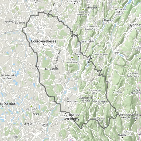
Conquer the challenging mountain roads of Rhône-Alpes
Prepare yourself for a challenging adventure with this 156 km road cycling route in the mountains of Rhône-Alpes. With a demanding ascent of 1879 m, this route is suitable for experienced cyclists. Highlights along the way include the picturesque village of Attignat, the famous Col de France, and the stunning landscapes of Serrières-sur-Ain.
Cycling routes nearby:

Nearby regions: