The Mountain Challenge
A road cycling route starting from Polliat
Conquer the challenging mountain roads of Rhône-Alpes
Map
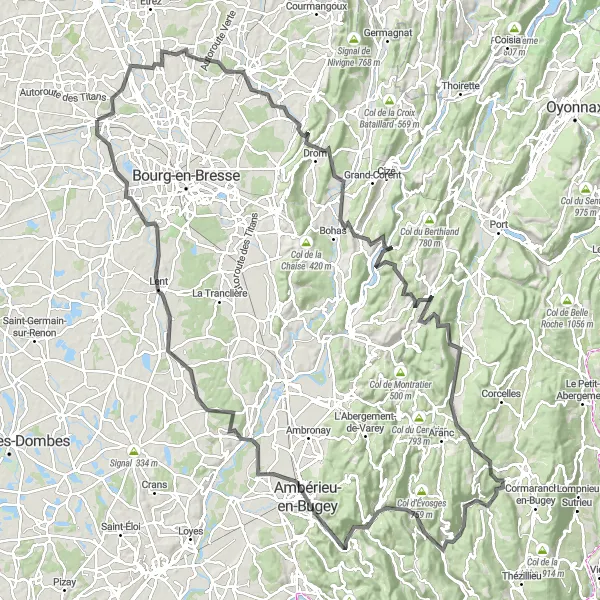
Prepare yourself for a challenging adventure with this 156 km road cycling route in the mountains of Rhône-Alpes. With a demanding ascent of 1879 m, this route is suitable for experienced cyclists. Highlights along the way include the picturesque village of Attignat, the famous Col de France, and the stunning landscapes of Serrières-sur-Ain.
road
156 km
1879 m
Savage
Route profile
Highlights on the route
0 km
0 km
Start: Polliat Village centerPolliat: Cycling paradise in the Rhône-Alpes region. A must-visit for every cyclist.
Polliat, situated in the Rhône-Alpes region of France, is a haven for road and gravel cyclists. The locality offers a great variety of cycling routes, including challenging climbs and scenic countryside roads. Cycling enthusiasts will appreciate the well-maintained roads and the picturesque landscapes that surround the town. Polliat is also located near the famous cycling spot, Mont Blanc, which adds to its appeal. With all these factors in mind, Polliat deserves a top cyclist perspective rank of 5.6 km
6 km
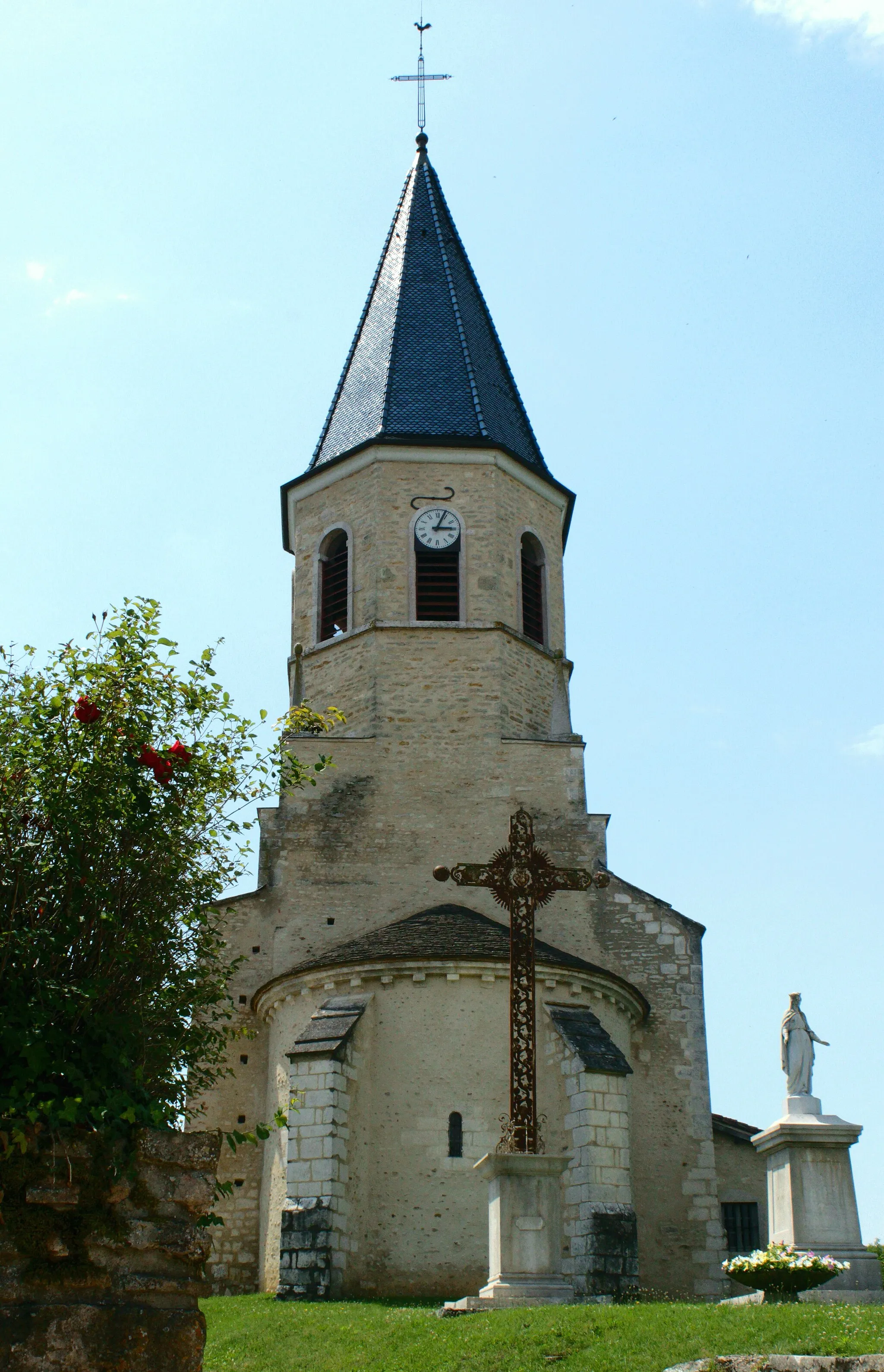
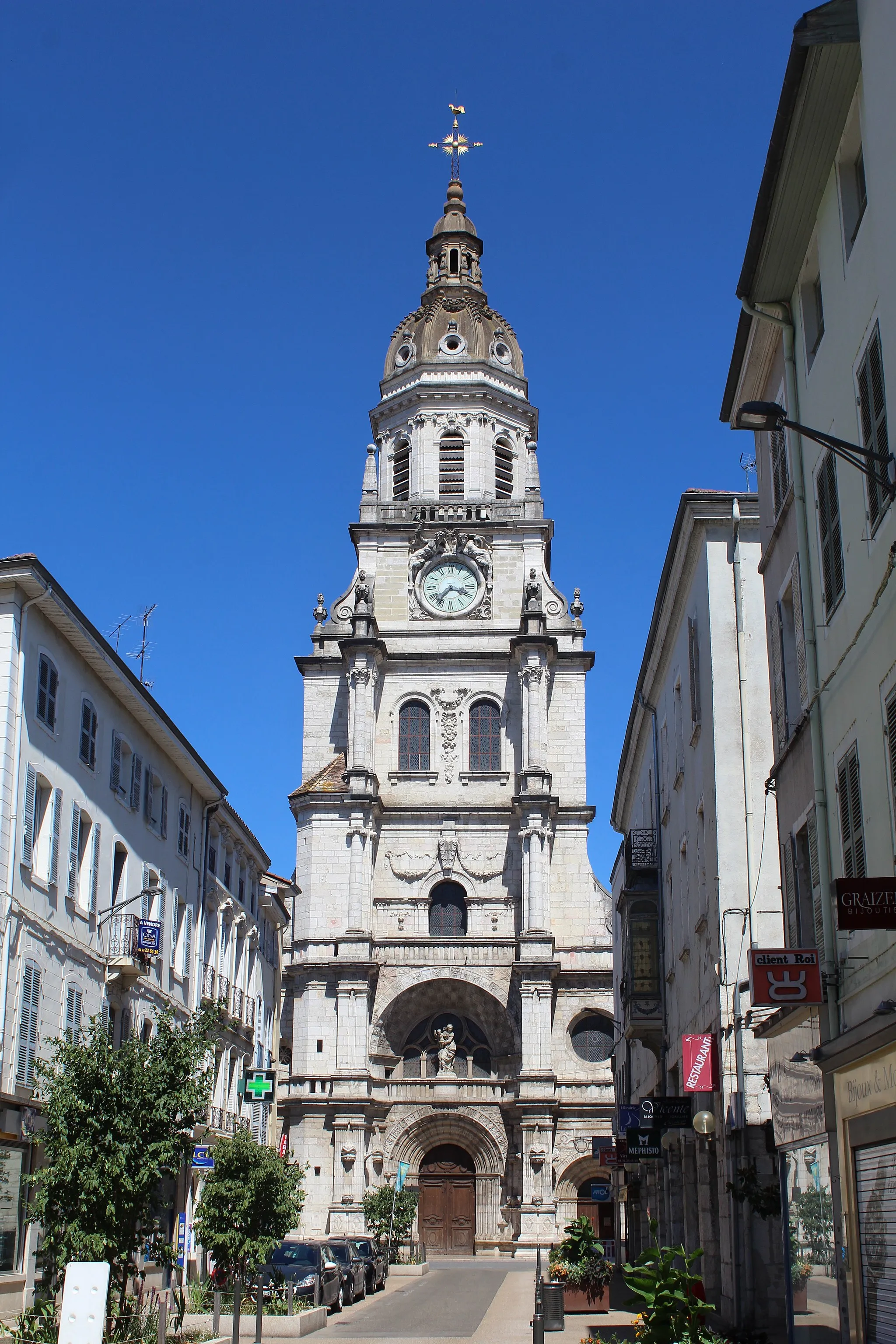
AttignatVillageAttignat is a starting point and marks the beginning of the challenging mountain roads. Gear up for the adventure ahead.
27 km
27 km
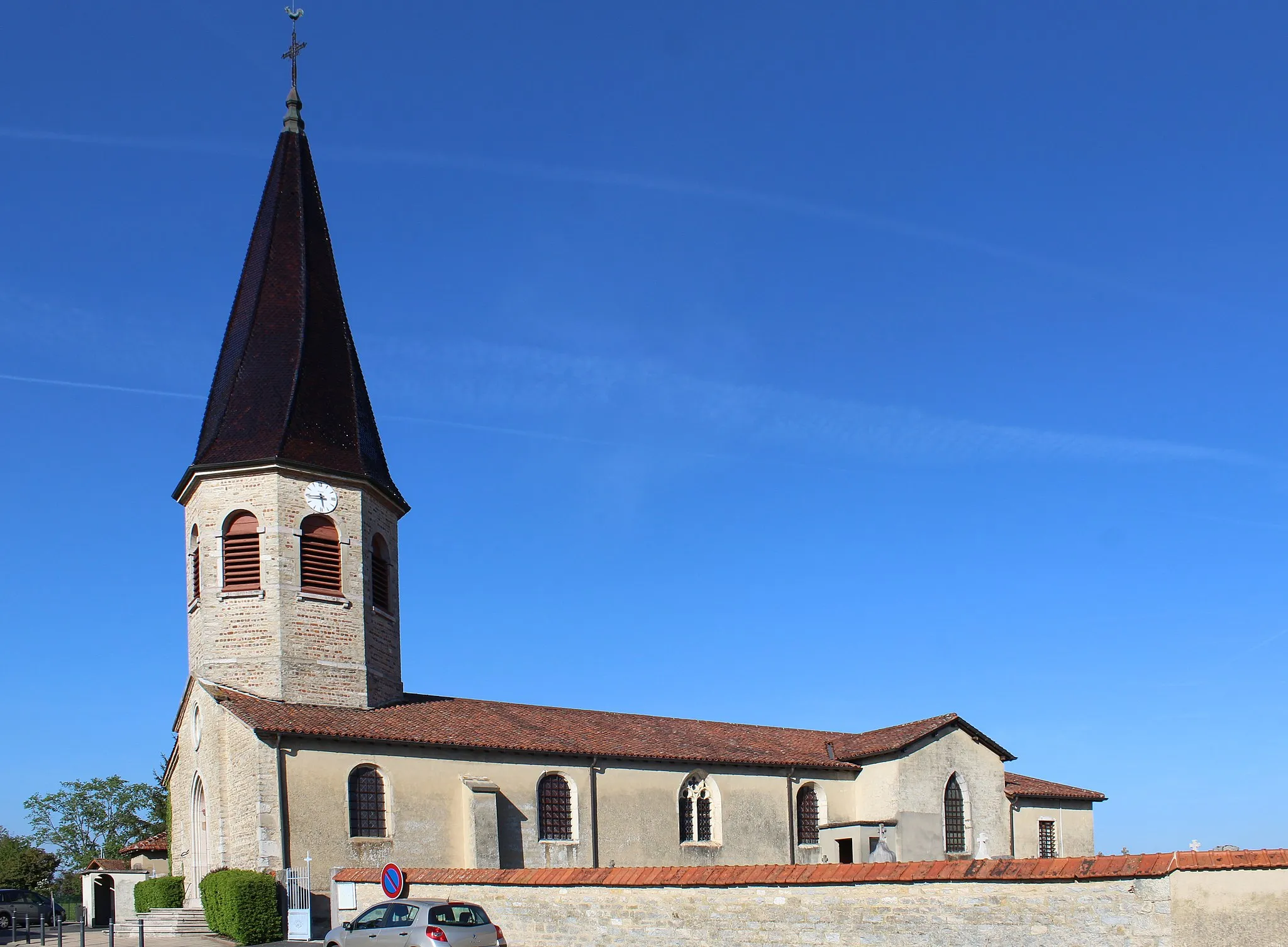
MeillonnasVillageMeillonnas is a small village surrounded by mountains. Take a moment to admire the breathtaking scenery.
30 km
30 km
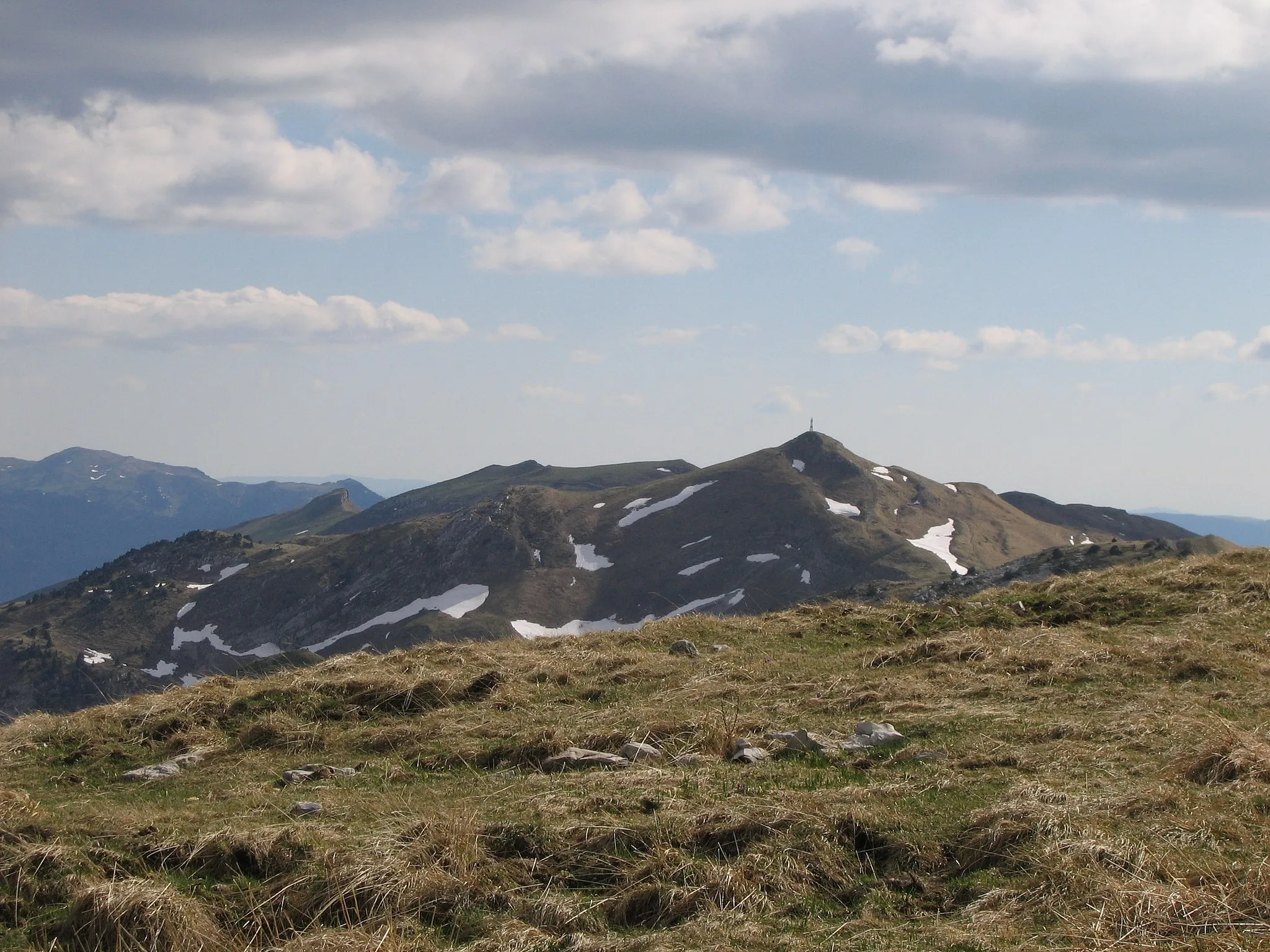
Col de France374 mMountain PassCol de France is a legendary climb renowned for its steep gradients. Test your skills and conquer this famous cycling spot.
46 km
46 km
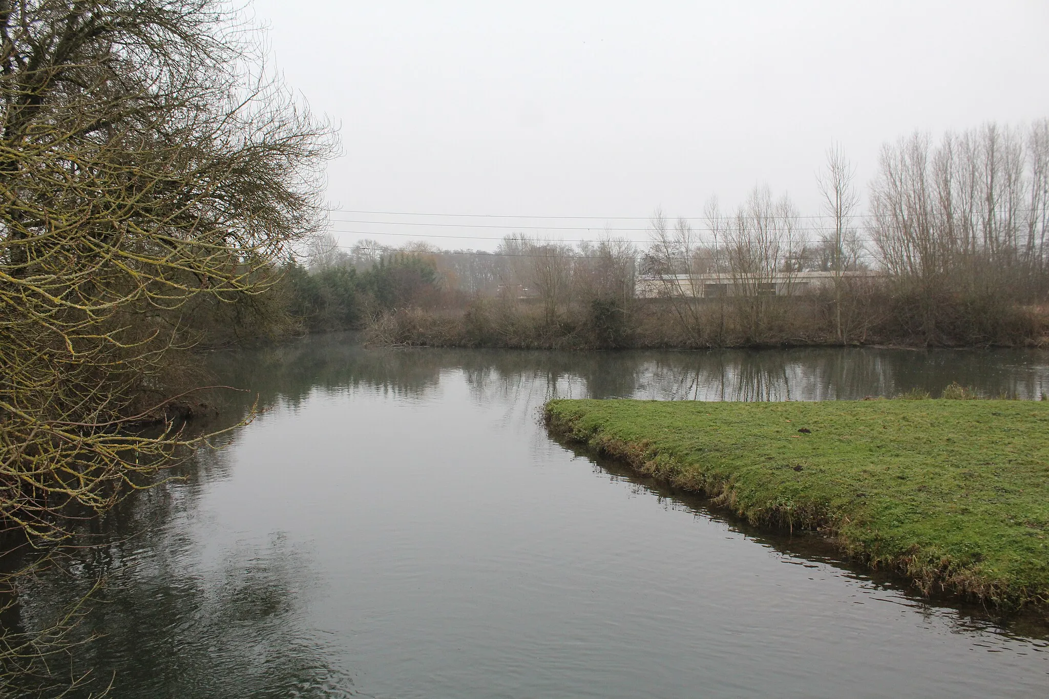
Serrières-sur-AinVillageSerrières-sur-Ain offers spectacular views of the Ain river. Take a break and enjoy the tranquility of this charming village.
68 km
68 km
Vieu-d'IzenaveVillageVieu-d'Izenave is a small mountain village with stunning landscapes. Marvel at the beauty of this remote location.
78 km
78 km
Col de la Berche864 mMountain PassCol de la Berche is a legendary climb that attracts professional cyclists from around the world. Challenge yourself and experience the thrill of this epic route.
88 km
88 km
ChaleyVillageChaley is a picturesque village surrounded by mountains. Embrace the serene ambiance of this hidden gem.
110 km
110 km
BettantVillageBettant offers mesmerizing views of the surrounding mountains. Pause for a moment and soak in the beauty of nature.
133 km
133 km
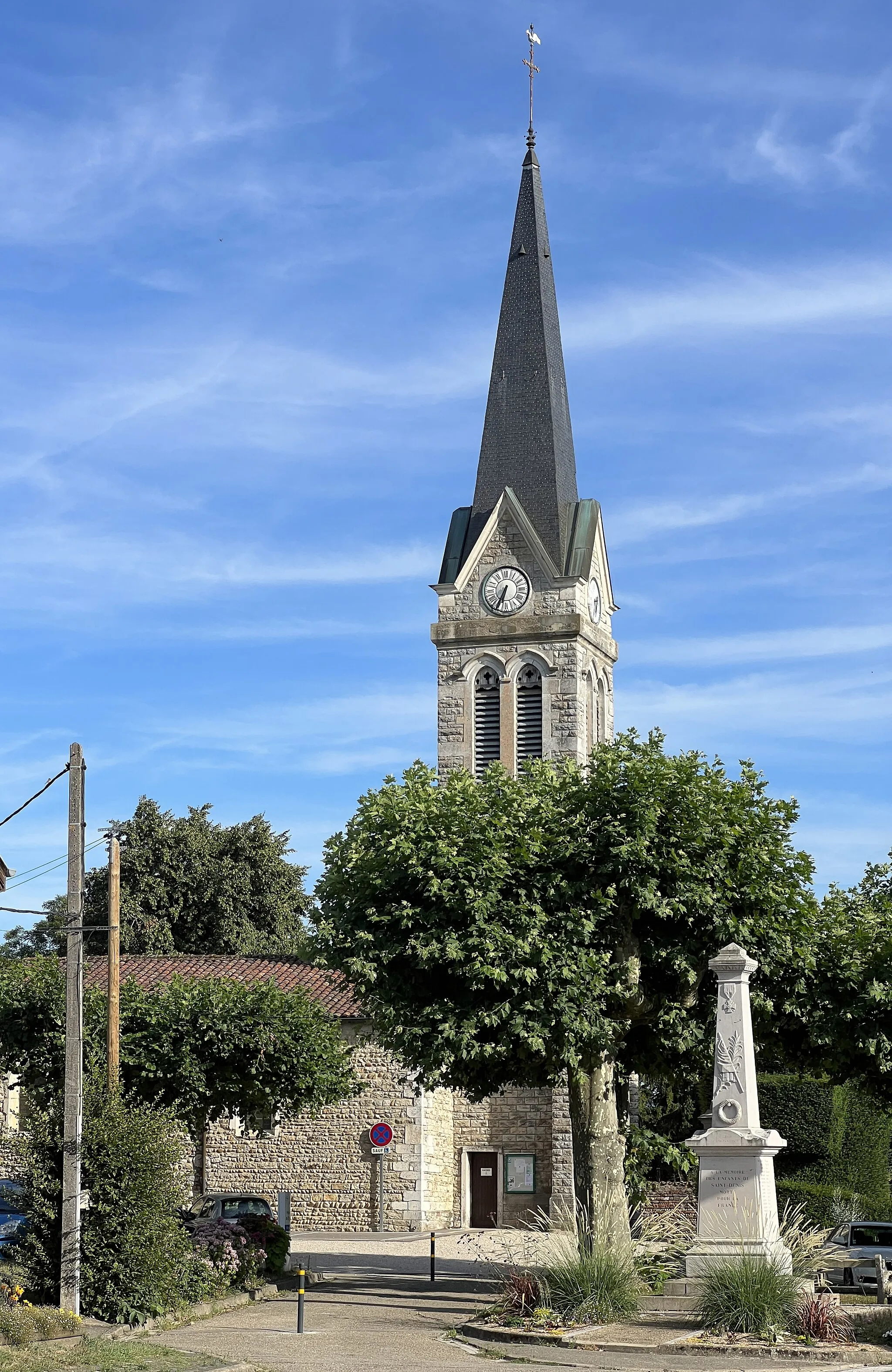
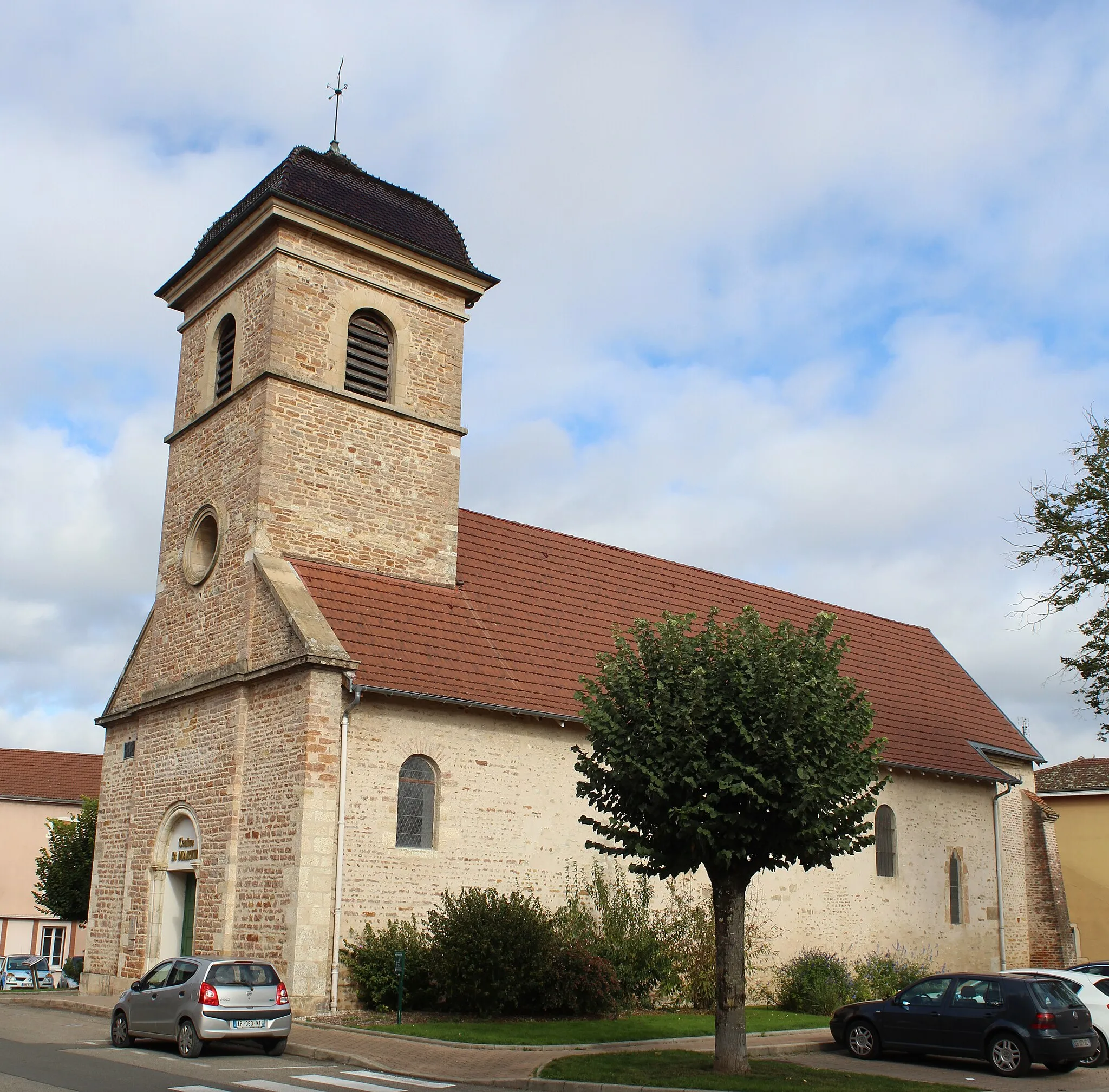
Dompierre-sur-VeyleVillageDompierre-sur-Veyle is a charming village located along the route. Discover its rich history and architectural heritage.
151 km
151 km
Château de la TeyssonnièreCastleChâteau de la Teyssonnière is a historic castle nestled amidst the mountains. Admire its grandeur and learn about its intriguing past.
156 km
156 km
Finish: Polliat Village centerPolliat: Cycling paradise in the Rhône-Alpes region. A must-visit for every cyclist.
Cycling routes from Polliat:
Scenic Countryside Tour: Polliat to Viriat The Historic Cycle Off the Beaten Path The Valley Dash Round-Trip Cycling Route: Polliat Loop Exploring the Beaujolais: Polliat to Châtillon-sur-Chalaronne The Vineyards Loop Discover Rural Gems: Polliat to Confrançon The Mountain Challenge Mountainous Challenge: Polliat to Mont Brouilly Epic Mountain Scenery
Cycling routes nearby: