Mountainous Challenge: Polliat to Mont Brouilly
A road cycling route starting from Polliat
Embark on an epic road cycling journey from Polliat to the famous Mont Brouilly.
Map
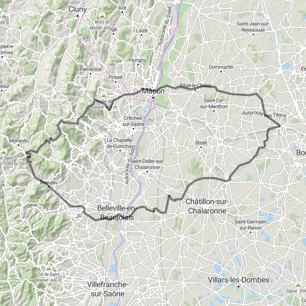
Experience the thrill of conquering challenging ascents and breathtaking descents on this road cycling route from Polliat to Mont Brouilly. With a total ascent of 1491 meters over a distance of 136 kilometers, this route is suited for experienced cyclists looking for a tough challenge. The stunning views from the top of Mont Brouilly make every pedal stroke worthwhile.
road
136 km
1491 m
Savage
Route profile
Highlights on the route
0 km
0 km
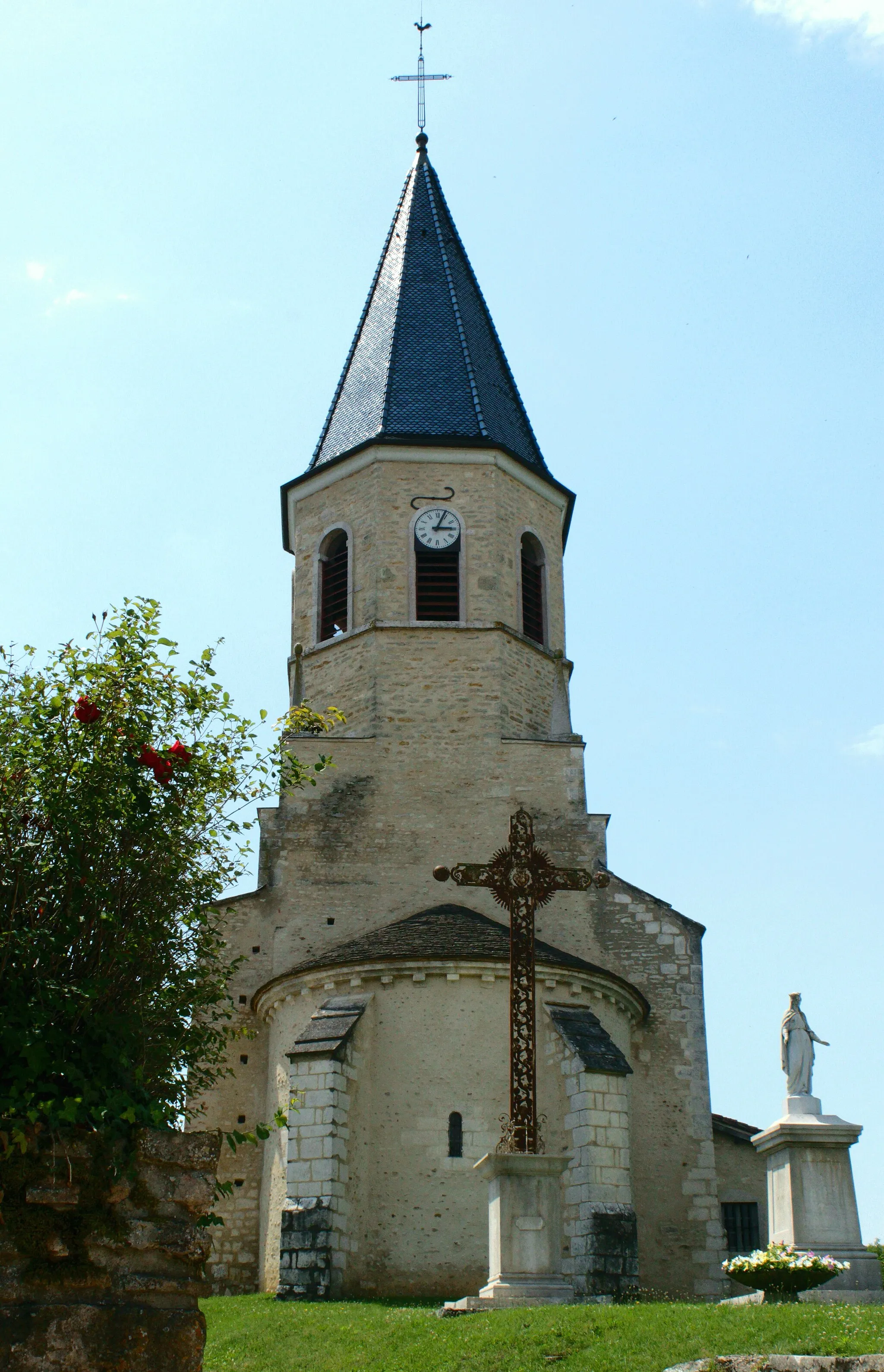
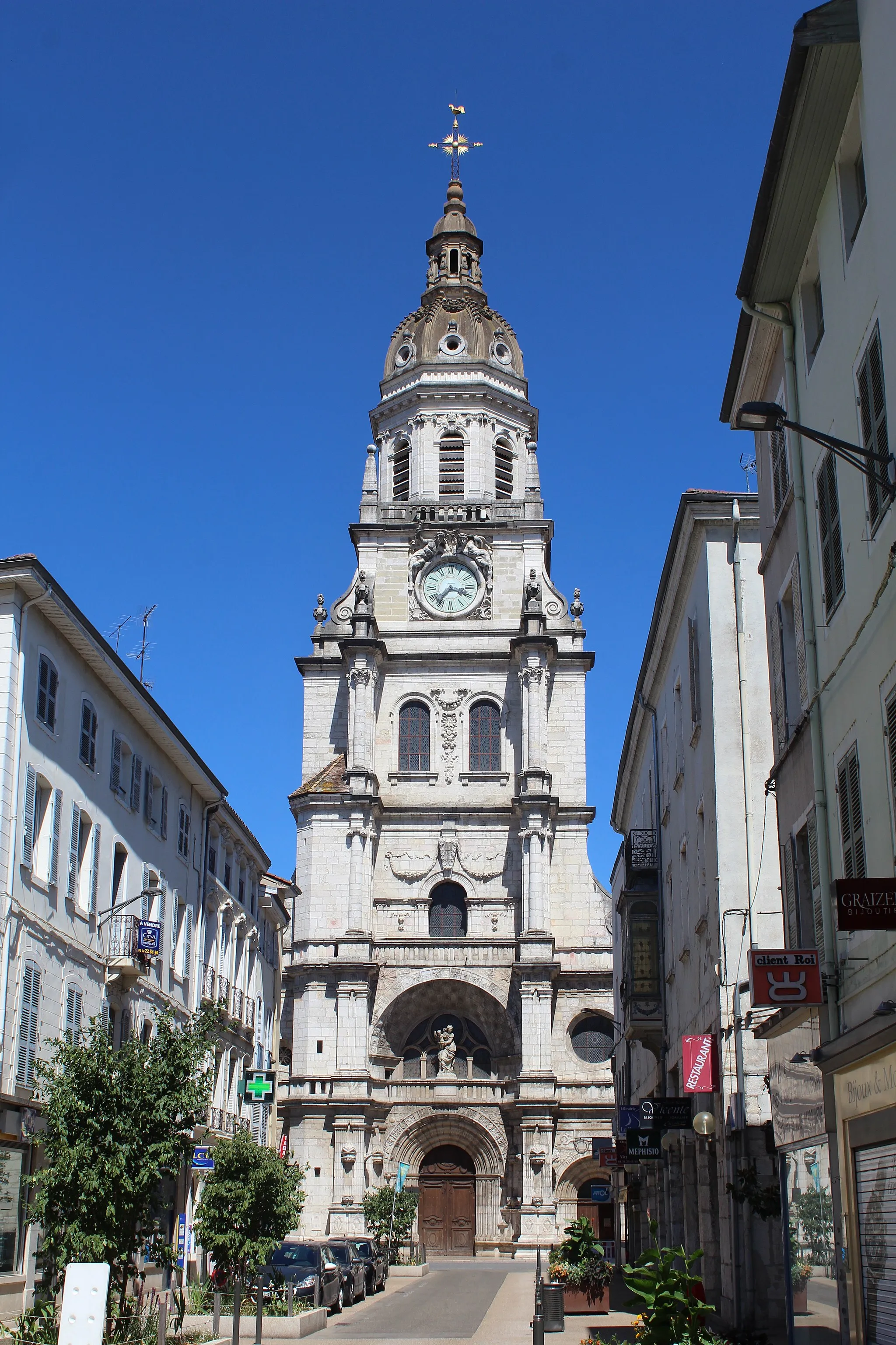
Start: Polliat Village centerPolliat: Cycling paradise in the Rhône-Alpes region. A must-visit for every cyclist.
Polliat, situated in the Rhône-Alpes region of France, is a haven for road and gravel cyclists. The locality offers a great variety of cycling routes, including challenging climbs and scenic countryside roads. Cycling enthusiasts will appreciate the well-maintained roads and the picturesque landscapes that surround the town. Polliat is also located near the famous cycling spot, Mont Blanc, which adds to its appeal. With all these factors in mind, Polliat deserves a top cyclist perspective rank of 5.9 km
9 km
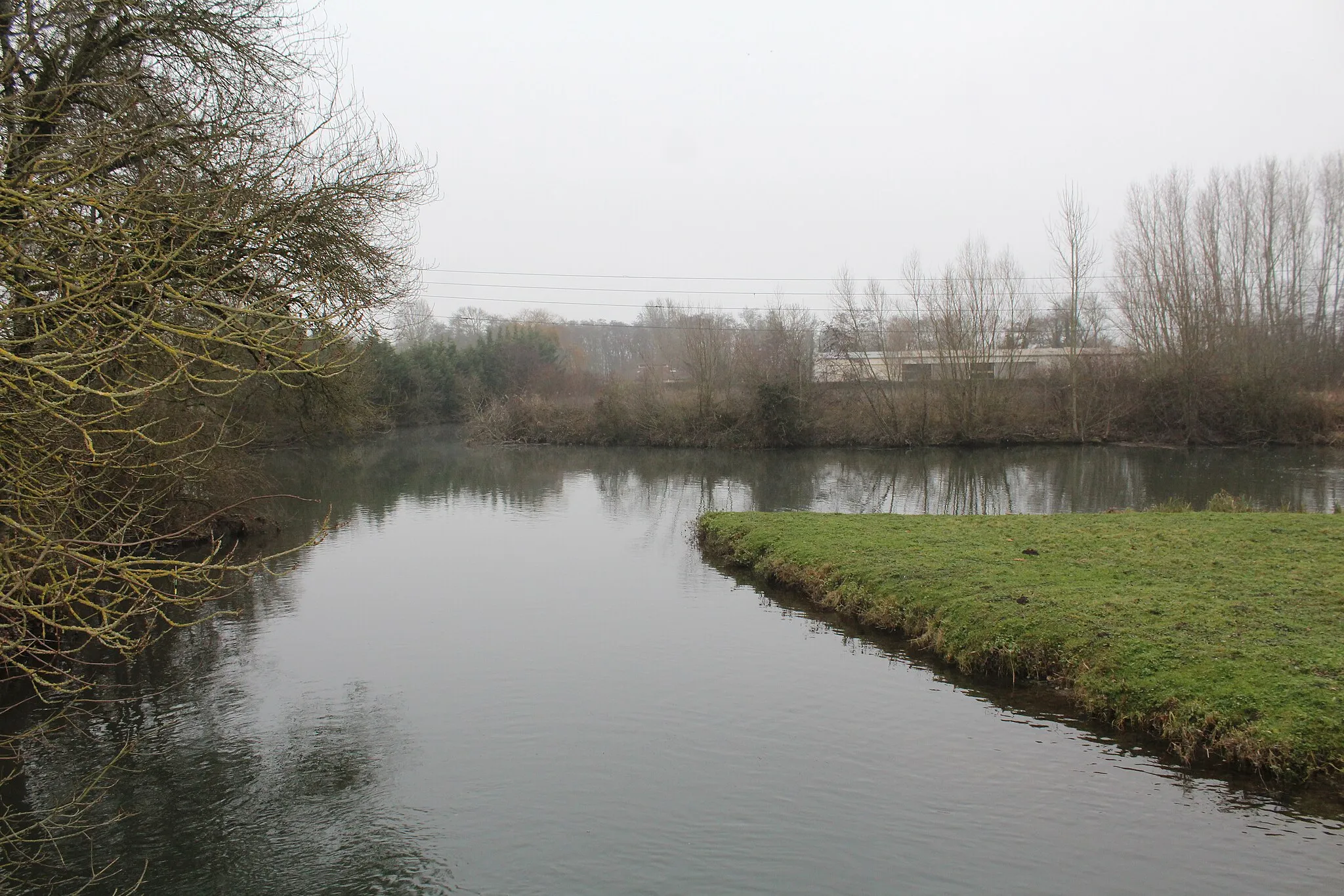
ChaveyriatVillageChaveyriat is a scenic village located on the way to Mont Brouilly, offering picturesque views of the surrounding countryside.
25 km
25 km
Dompierre-sur-ChalaronneVillageDompierre-sur-Chalaronne is a charming town with a rich history and architectural heritage, worth a visit during your cycling adventure.
41 km
41 km
GuéreinsVillageIn Guéreins, take a break and enjoy a refreshing drink in one of the local cafes while admiring the beautiful countryside views.
54 km
54 km
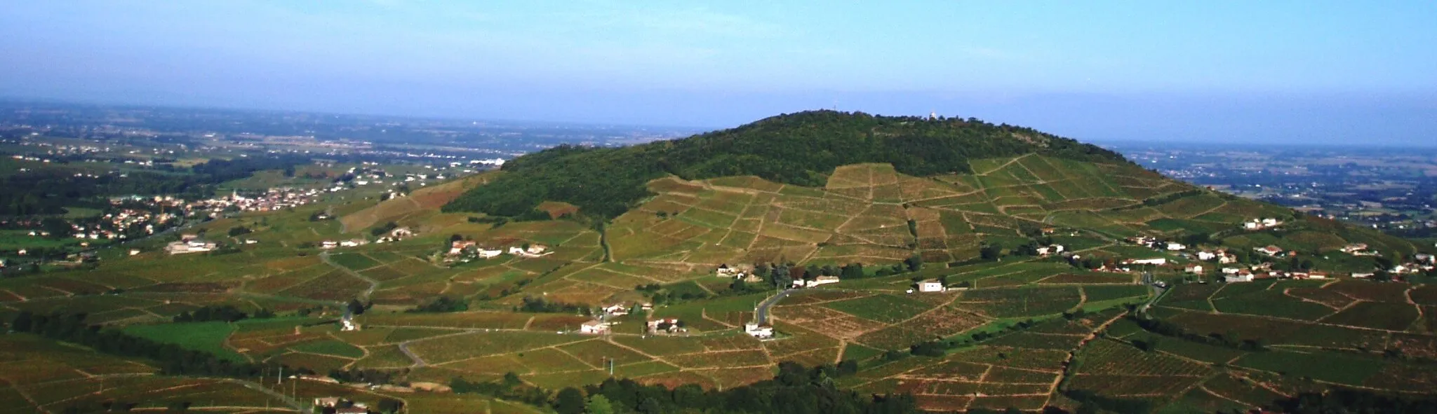
Mont Brouilly484 mPeakMont Brouilly is famous for its vineyards and offers panoramic views of the Beaujolais region from its summit, a must-visit for wine enthusiasts.
60 km
60 km
BeaujeuVillageBeaujeu is known as the historical capital of the Beaujolais wine region, with charming wineries and cultural attractions to explore.
70 km
70 km
Col de Crie624 mMountain PassChallenge yourself to conquer Col de Crie, a popular climb among cyclists, offering stunning views at the top.
78 km
78 km
OurouxVillagePass through Ouroux, a village known for its peaceful atmosphere and stunning views of the surrounding hills and vineyards.
90 km
90 km
Table d'orientationViewpointVisit the Table d'orientation, a viewpoint that offers panoramic vistas of the surrounding countryside, perfect for taking a break and capturing memorable photos.
99 km
99 km
FuisséVillageFuissé is a picturesque village in the Burgundy wine region, known for its famous vineyards and wine tastings.
108 km
108 km
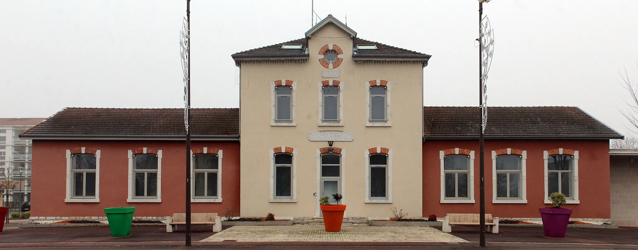
MâconTownArrive in Mâcon, a vibrant city offering a wide range of cultural attractions, restaurants, and shopping opportunities.
116 km
116 km
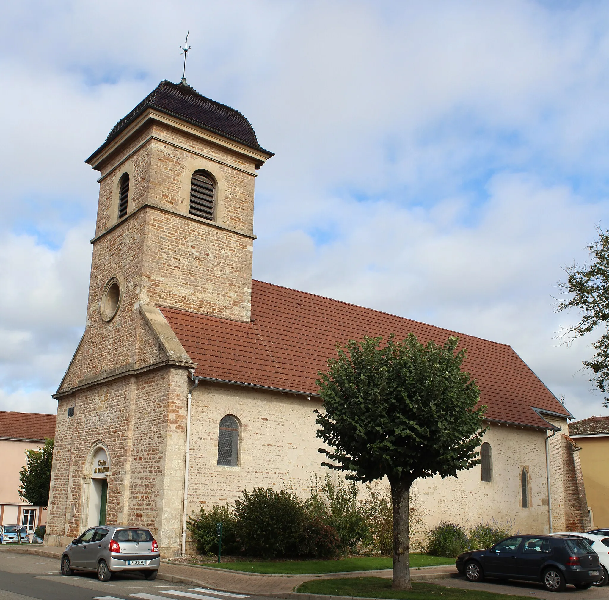
Bâgé-le-ChâtelVillageExplore the historic village of Bâgé-le-Châtel, known for its well-preserved medieval architecture and charming streets.
136 km
136 km
PolliatVillageFinish your journey in Polliat, where you began, and reflect on the epic cycling adventure you've just completed.
136 km
136 km
Finish: Polliat Village centerPolliat: Cycling paradise in the Rhône-Alpes region. A must-visit for every cyclist.
Cycling routes from Polliat:
Scenic Countryside Tour: Polliat to Viriat The Historic Cycle Off the Beaten Path The Valley Dash Round-Trip Cycling Route: Polliat Loop Exploring the Beaujolais: Polliat to Châtillon-sur-Chalaronne The Vineyards Loop Discover Rural Gems: Polliat to Confrançon The Mountain Challenge Mountainous Challenge: Polliat to Mont Brouilly Epic Mountain Scenery
Cycling routes nearby: