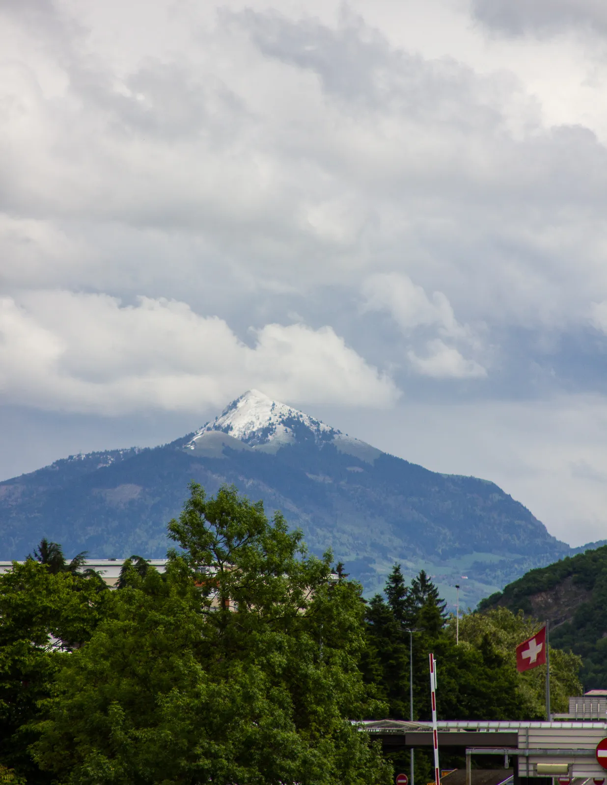
Paradise for road and gravel cycling with legendary climbs nearby
Cycling routes from Saint-Egreve
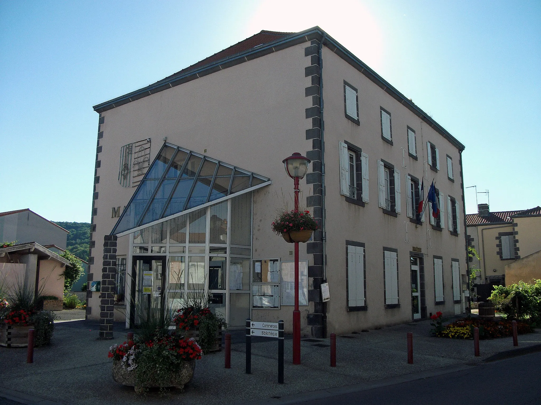
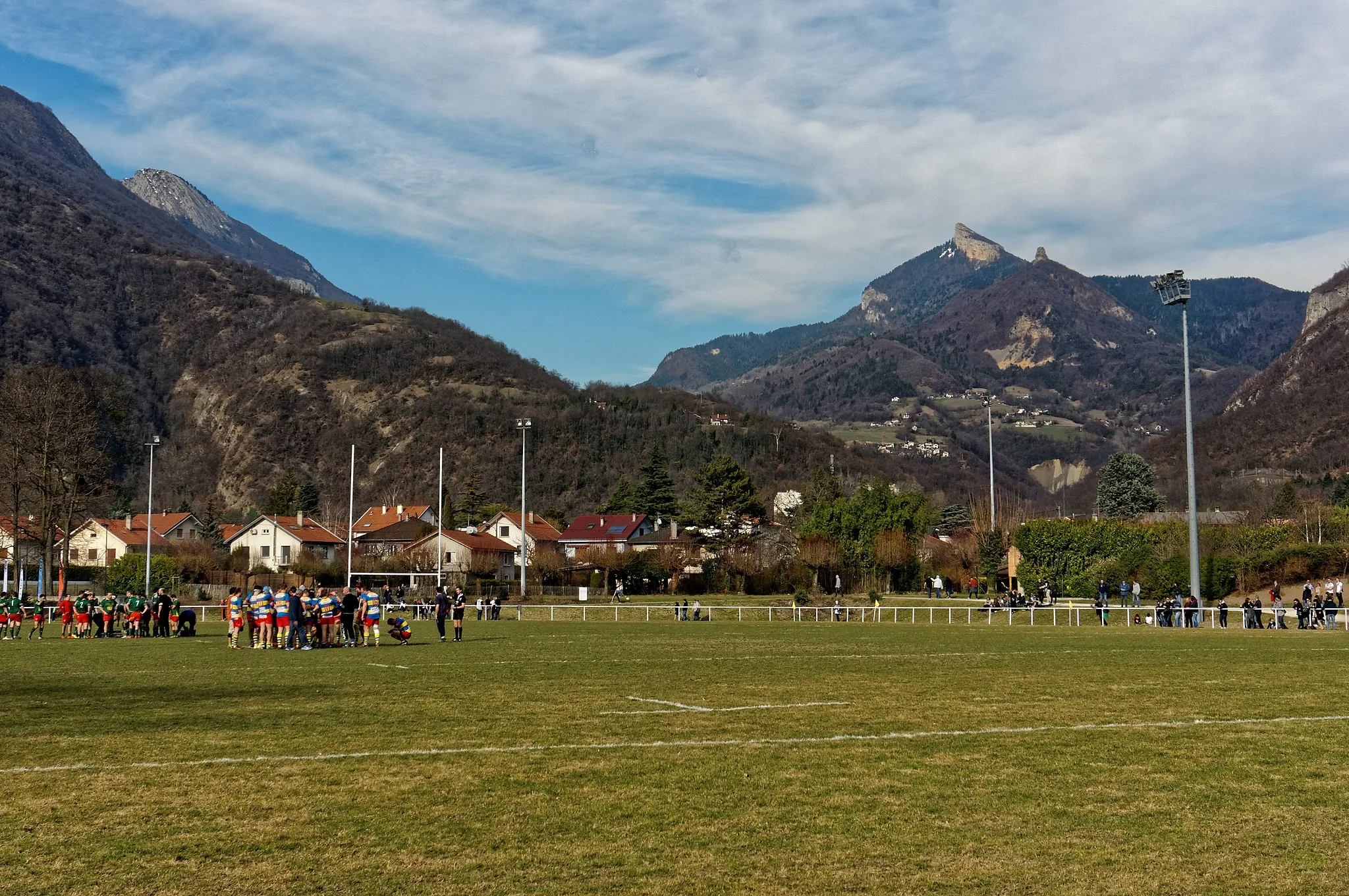
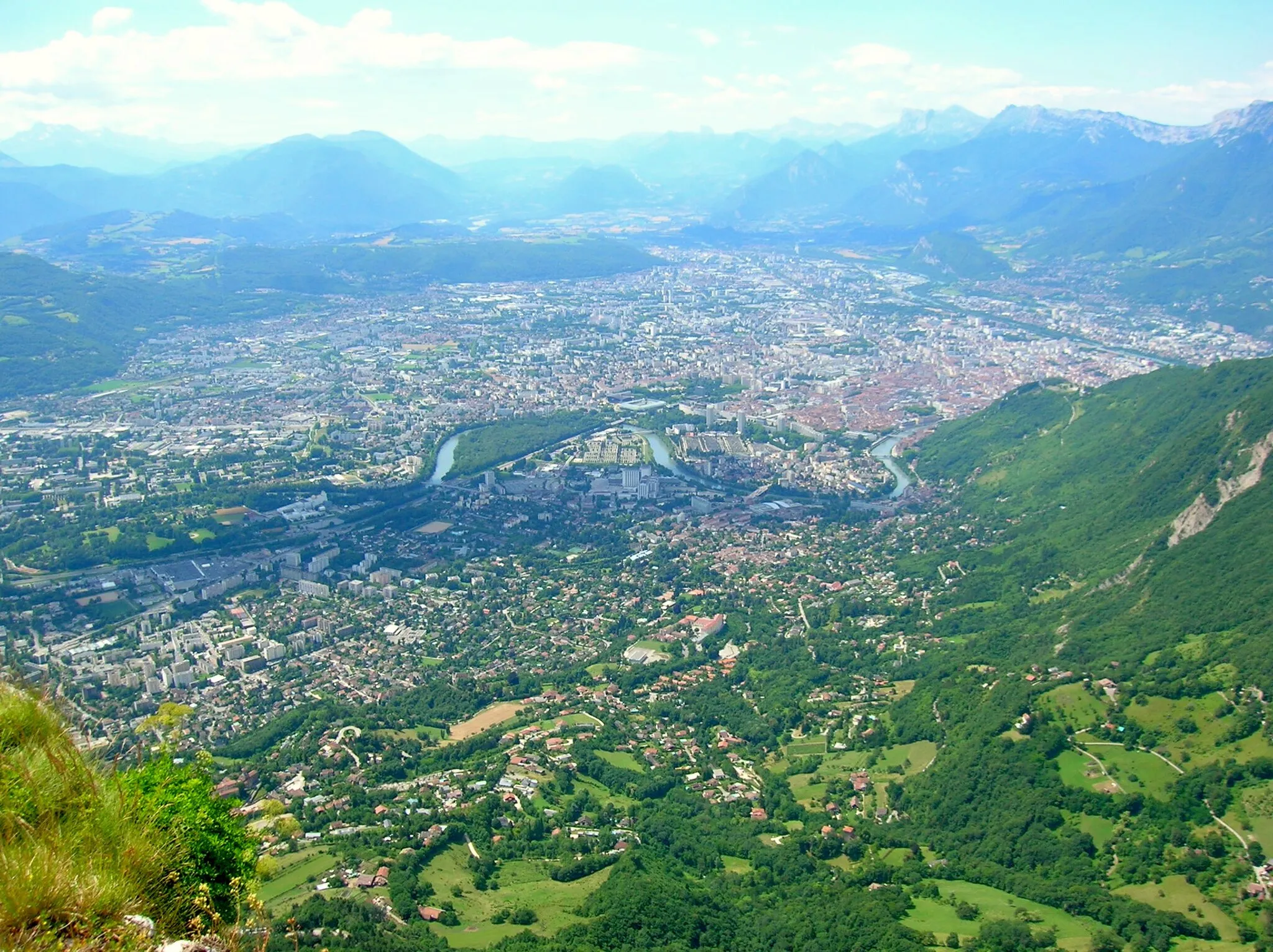
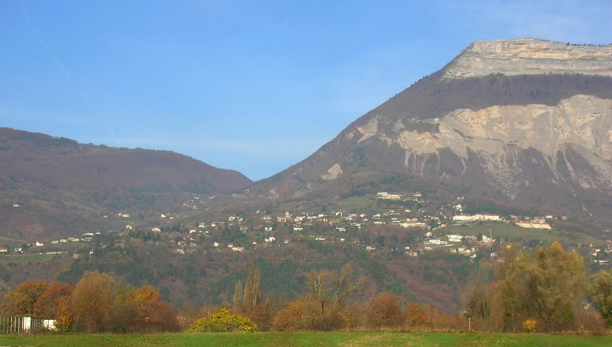
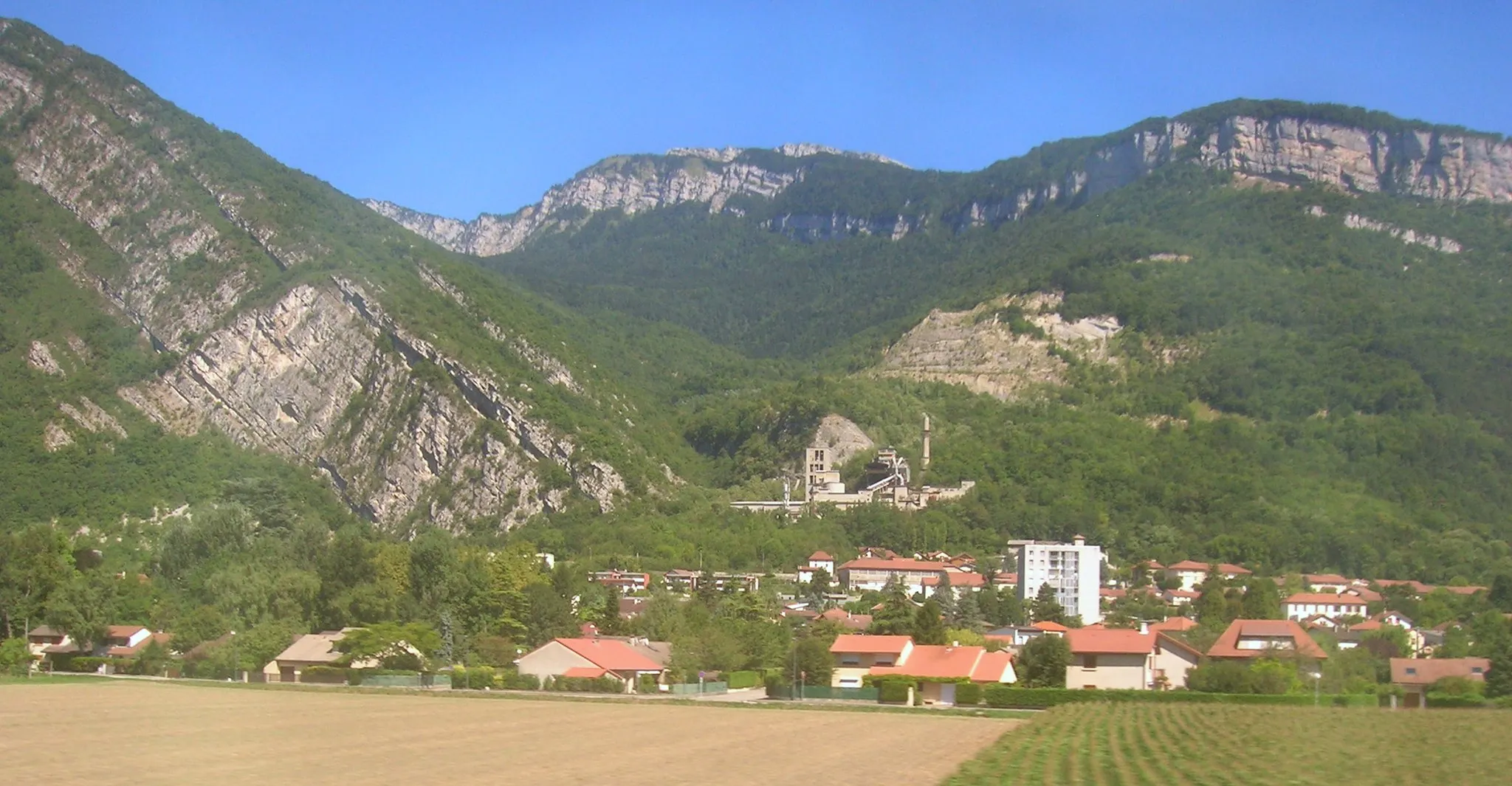
Saint-Égrève, located in the Rhône-Alpes region of France, provides excellent cycling opportunities. The locality is nestled between mountains and forests, offering scenic and challenging routes for road and gravel cyclists. Cyclists can explore nearby iconic climbs like the Col de la Croix de Fer or Alpe d'Huez. With its fantastic cycling infrastructure and access to legendary climbs, Saint-Égrève deserves a top ranking of 5.
Unleash your inner adventurer with the beautiful landscapes of Sassenage and the Vercors
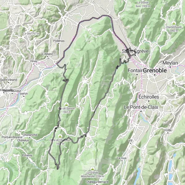
This road route is a challenging adventure near Saint-Égrève, with highlights including the town of Sassenage, the picturesque village of Lans-en-Vercors, and the stunning Col d'Herbouilly. With an ascent of 2411m over a distance of 111km, this route offers a demanding ride with breathtaking scenery. The epicness rating is 4, as it provides epic landscapes and challenging climbs. The highlights along this route include the picturesque village of Lans-en-Vercors, nestled in the Vercors Regional Natural Park, and the Bec de l'Échaillon, offering stunning panoramic views of the surrounding mountains.
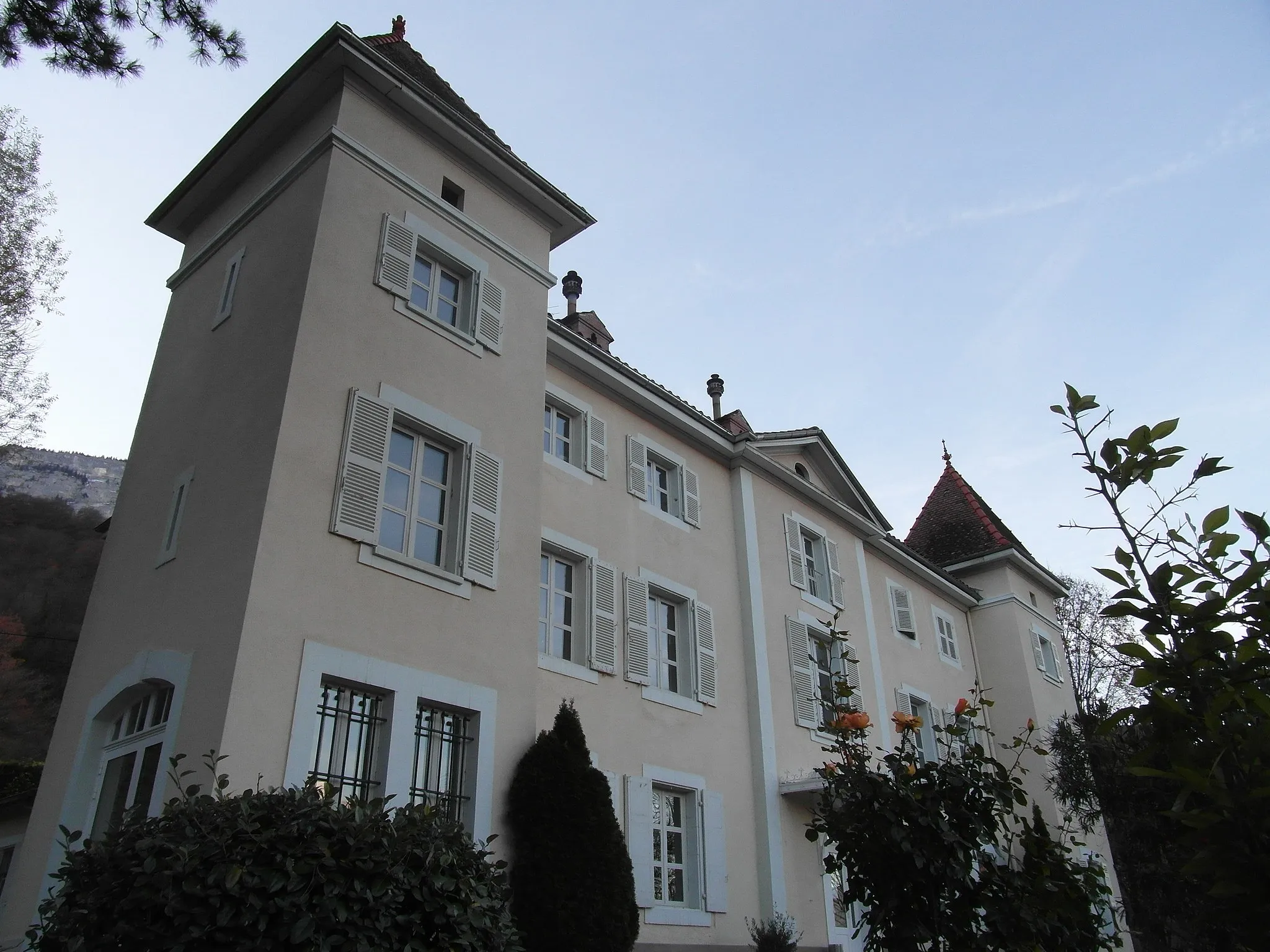
Discover the beauty of Grenoble and the historic Chateau de la Veyrie
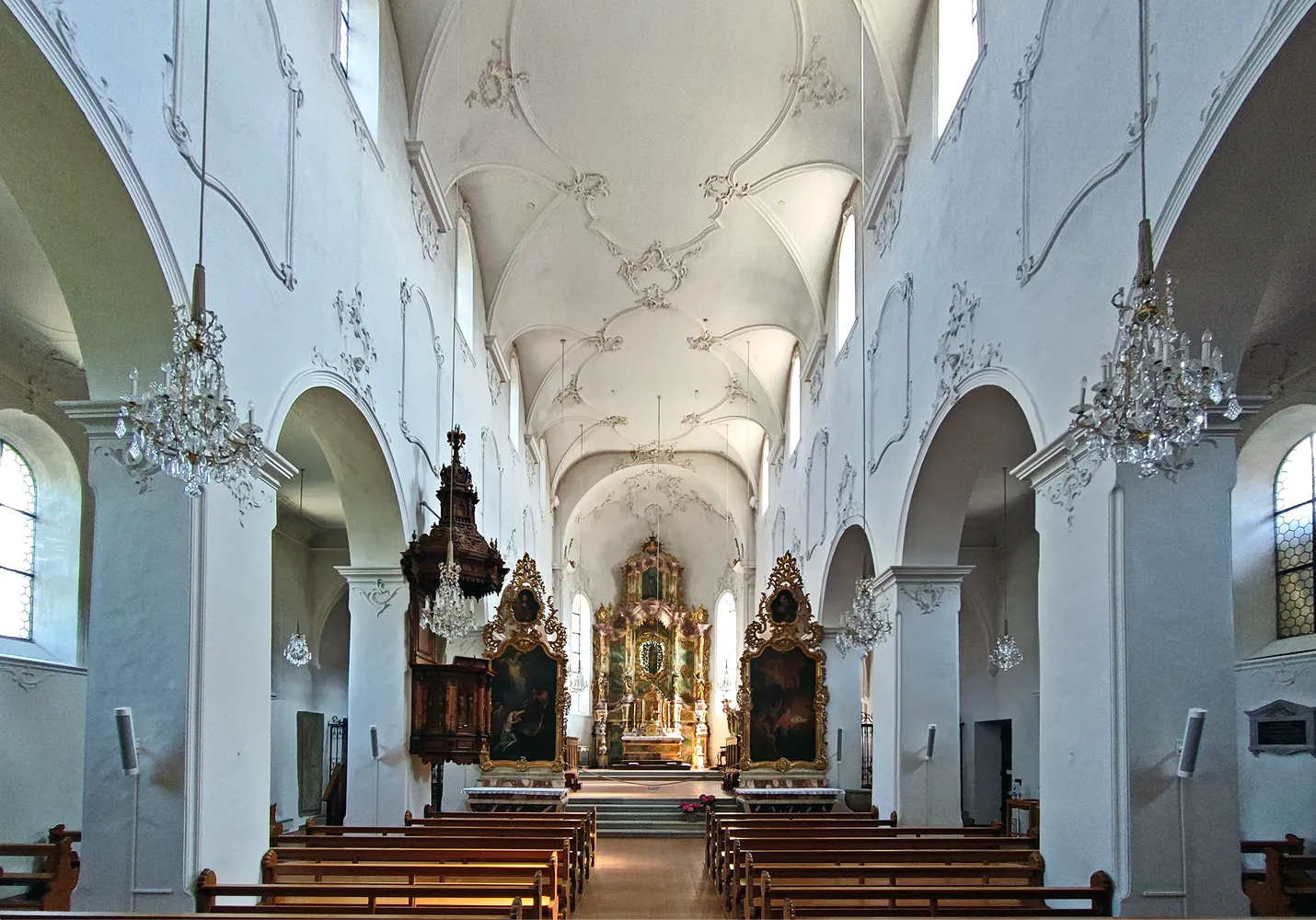
This road route is a scenic journey near Saint-Égrève, with highlights including the historic town of Grenoble, the majestic Chateau de la Veyrie, and the picturesque village of Saint-Martin-le-Vinoux. With an ascent of 563m over a distance of 86km, this route is suitable for leisurely rides. The epicness rating is 2, as it offers a pleasant ride with cultural attractions. The highlights along this route include the Chateau de la Veyrie, a beautifully preserved castle dating back to the Middle Ages, and the Belvédère Vauban, a panoramic viewpoint offering stunning views of the surrounding landscapes.
The Scenic Loop
Embark on a road cycling journey through breathtaking scenery and challenging terrains.
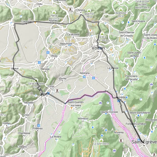
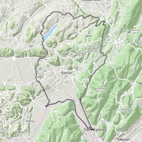
Get ready to be mesmerized by the stunning landscapes and captivating terrain on this road cycling route. With a moderate ascent of 751 meters spread over a distance of 76 kilometers, this route provides a perfect balance of challenge and enjoyment. Discover the picturesque Fontanil-Cornillon, challenge yourself on the renowned Col de Parménie, and immerse yourself in the serene beauty of La Buisse.
Embark on a road cycling journey filled with challenges and awe-inspiring scenery.
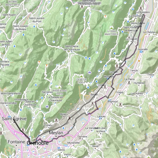
This road cycling route near Saint-Égrève is a true test of endurance, with 4898 meters of ascent spread over a distance of 175 kilometers. Prepare yourself for a thrilling adventure that will take you through some of Rhône-Alpes' most beautiful landscapes. Highlights include the picturesque Saint-Martin-d'Hères, the historic Chartreuse de Prémol, the challenging Col Luitel, and the enchanting Le Bourg-d'Oisans.
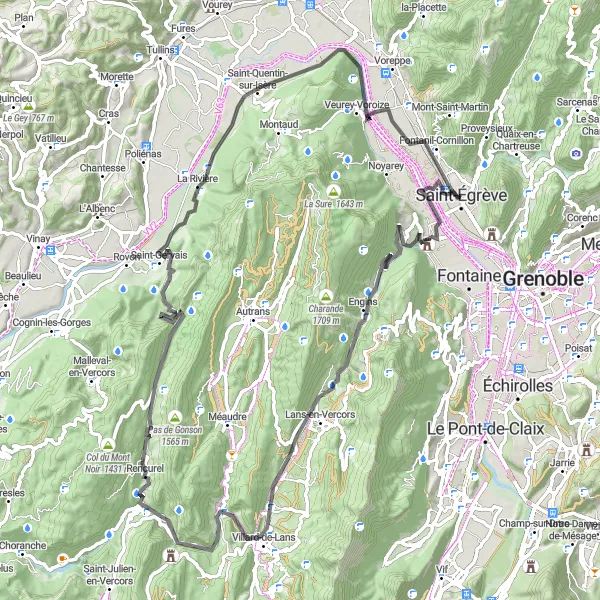
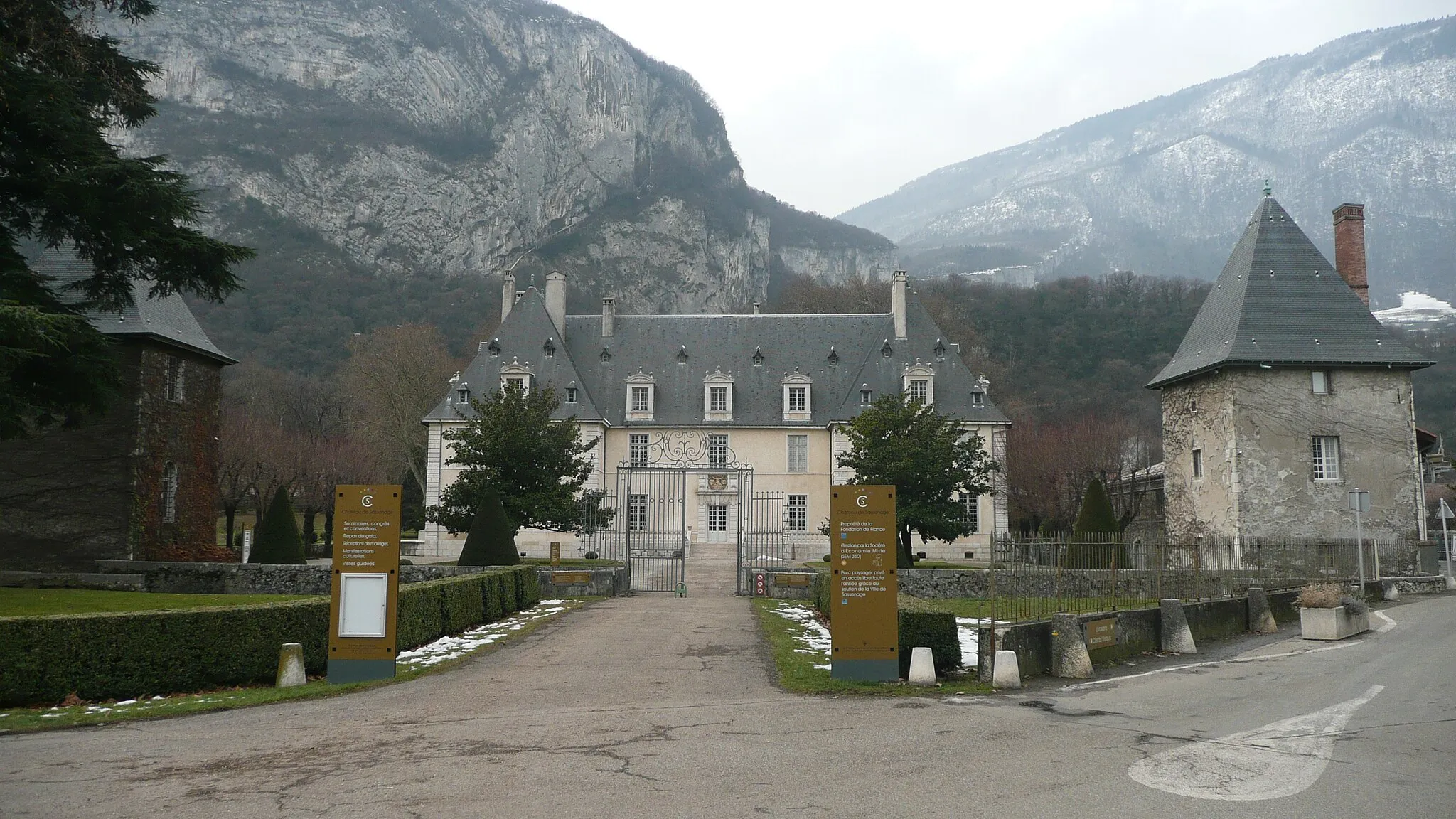
Explore the rugged beauty of Sassenage and the secret viewpoints along the way
This gravel route takes you off the beaten track near Saint-Égrève, with highlights including the charming town of Sassenage, hidden viewpoints with breathtaking scenery, and the picturesque village of Méaudre. With an ascent of 2649m over a distance of 95km, this route provides a challenging adventure for gravel cycling enthusiasts. The epicness rating is 4, as it offers a unique and picturesque experience. The highlights along this route include the stunning viewpoint of Cornafion, offering panoramic views of the surrounding mountains, and the beautiful La Dent du Loup, a rocky outcrop with a rich history and natural beauty.
Villages and Valleys
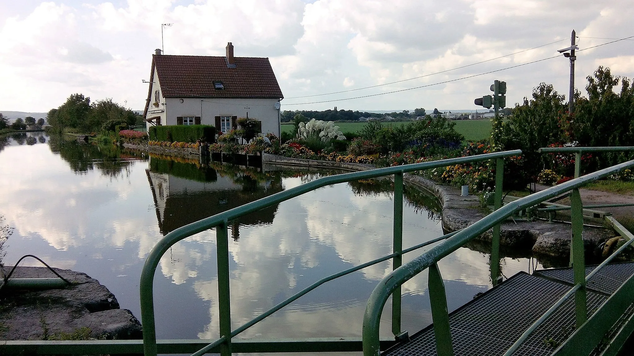
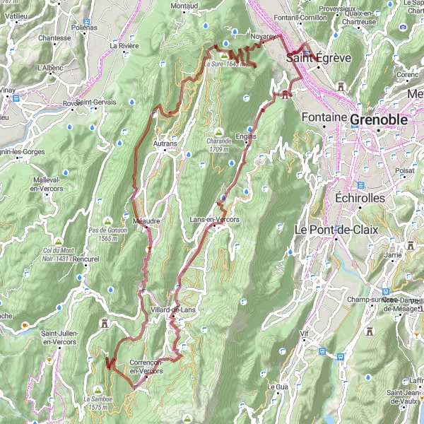
Discover the hidden gems of Sassenage and the scenic valleys near Saint-Égrève
This road route takes you through charming villages near Saint-Égrève, with highlights including the town of Sassenage, the quaint village of Villard-de-Lans, and the picturesque Valchevrière Valley. With an ascent of 2277m over a distance of 89km, this route offers a challenging ride with scenic beauty. The epicness rating is 3, as it provides some exciting highlights without being overly challenging. The highlights along this route include the Valchevrière Valley, with its lush greenery and pristine landscapes, and the Coteau d'Artets, a scenic viewpoint offering panoramic vistas of the surrounding valleys.
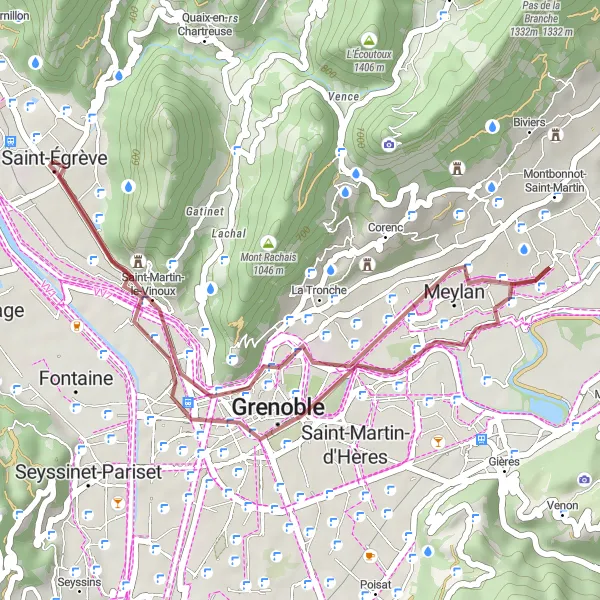
Cycle through Grenoble's scenic surroundings on this charming gravel route.
Discover Grenoble's picturesque surroundings on this delightful gravel route, offering a slight challenge with 148 meters of ascent spread over 29 kilometers. Enjoy panoramic views from Belvédère Vauban, explore the historical delights of La Tronche, immerse yourself in the vibrant atmosphere of Grenoble, and cross the breathtaking Pont de Vence.
Jalla and the Massacres
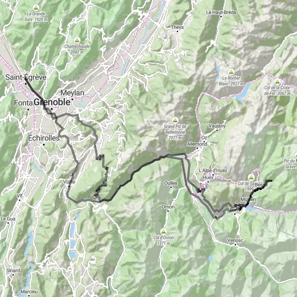
Exploring Mont Jalla and the picturesque towns of Grenoble and Vizille
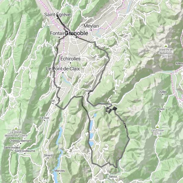
This route takes you through the scenic countryside near Saint-Égrève, with highlights including the stunning views from Mont Jalla, the historic town of Grenoble, and the Chateau de Vizille. With an ascent of 2251m over a distance of 121km, this route offers a good challenge for well-trained amateurs. The epicness rating is 3, as it provides some exciting highlights without being a legendary climb. The highlights along this route include the famous Rocher du Château, a rocky outcrop with breathtaking views, and the Polygone Scientifique, a hub of scientific research and innovation.
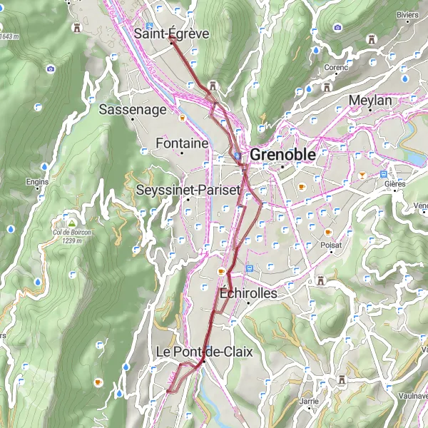
Explore the picturesque landscapes near Saint-Égrève on this thrilling gravel route.
Embark on a gravel adventure that takes you through scenic routes and charming villages. The route offers a moderate challenge with an ascent of 134 meters over a distance of 34 kilometers. Discover the beauty of Saint-Martin-le-Vinoux, Le Pont-de-Claix, and the stunning Montagne de Grand Rochefort along the way.
Explore the Tour des Templiers and conquer the challenging ascent of Bec de l'Échaillon.
This round-trip cycling route near Saint-Égrève takes you through picturesque landscapes, challenging climbs, and highlights some interesting landmarks along the way. With a total distance of 109 kilometers and an ascent of 1388 meters, this route is suitable for well-trained amateur cyclists.
Cycling routes nearby:
Nearby regions: