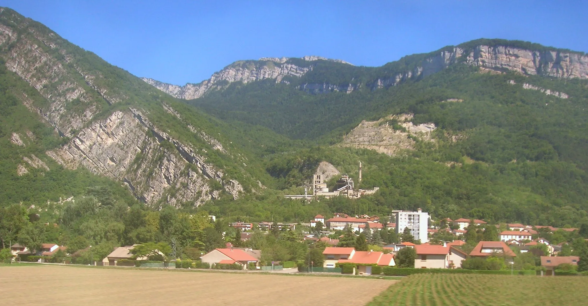
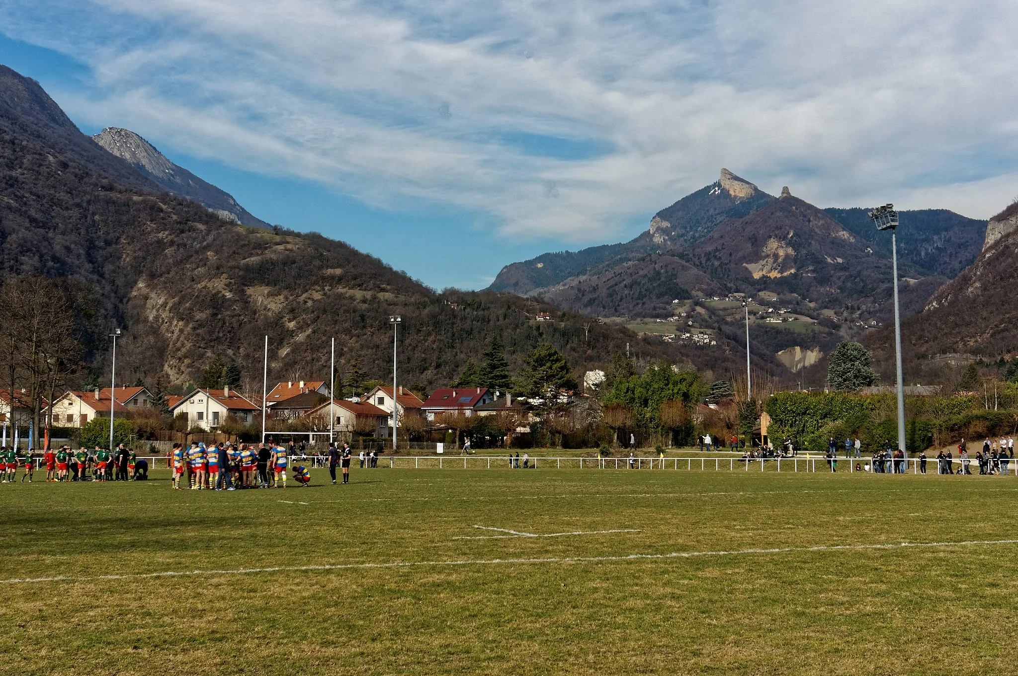
Cyclist's paradise at the base of the Chartreuse mountains.
Cycling routes from Voreppe
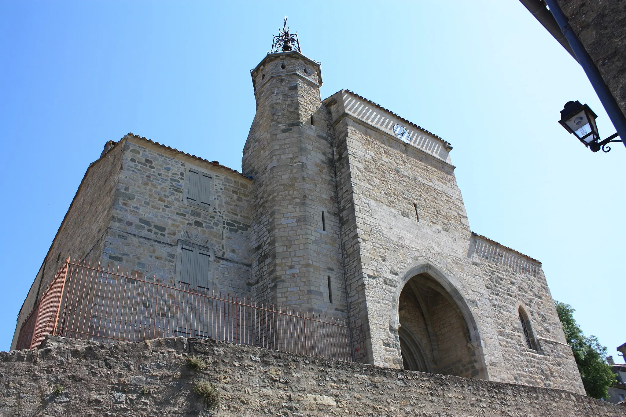
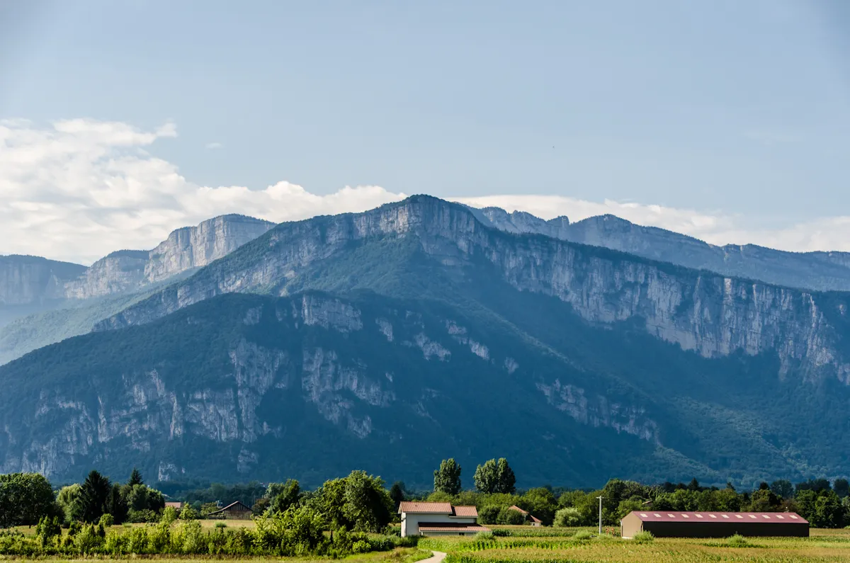
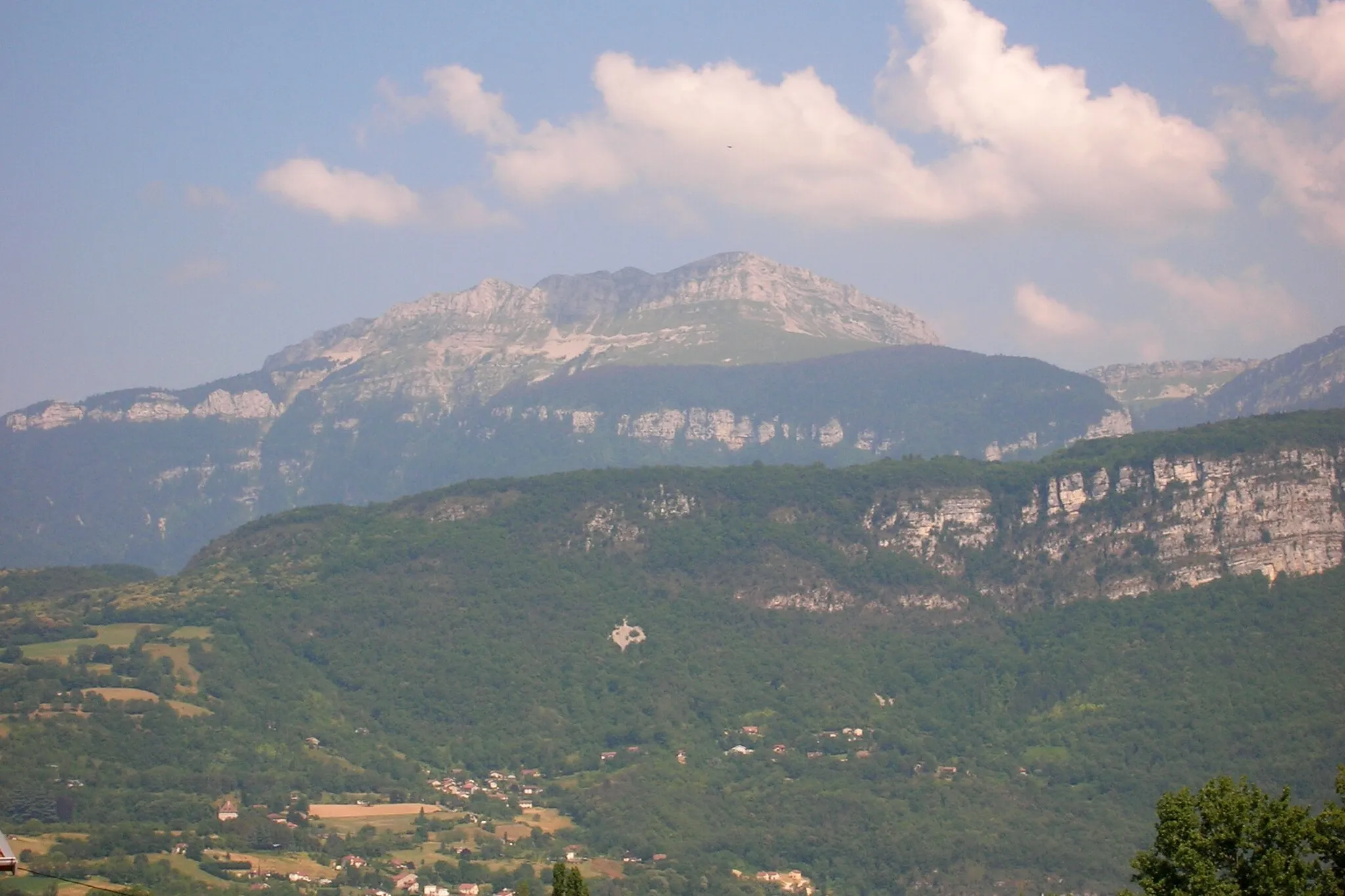
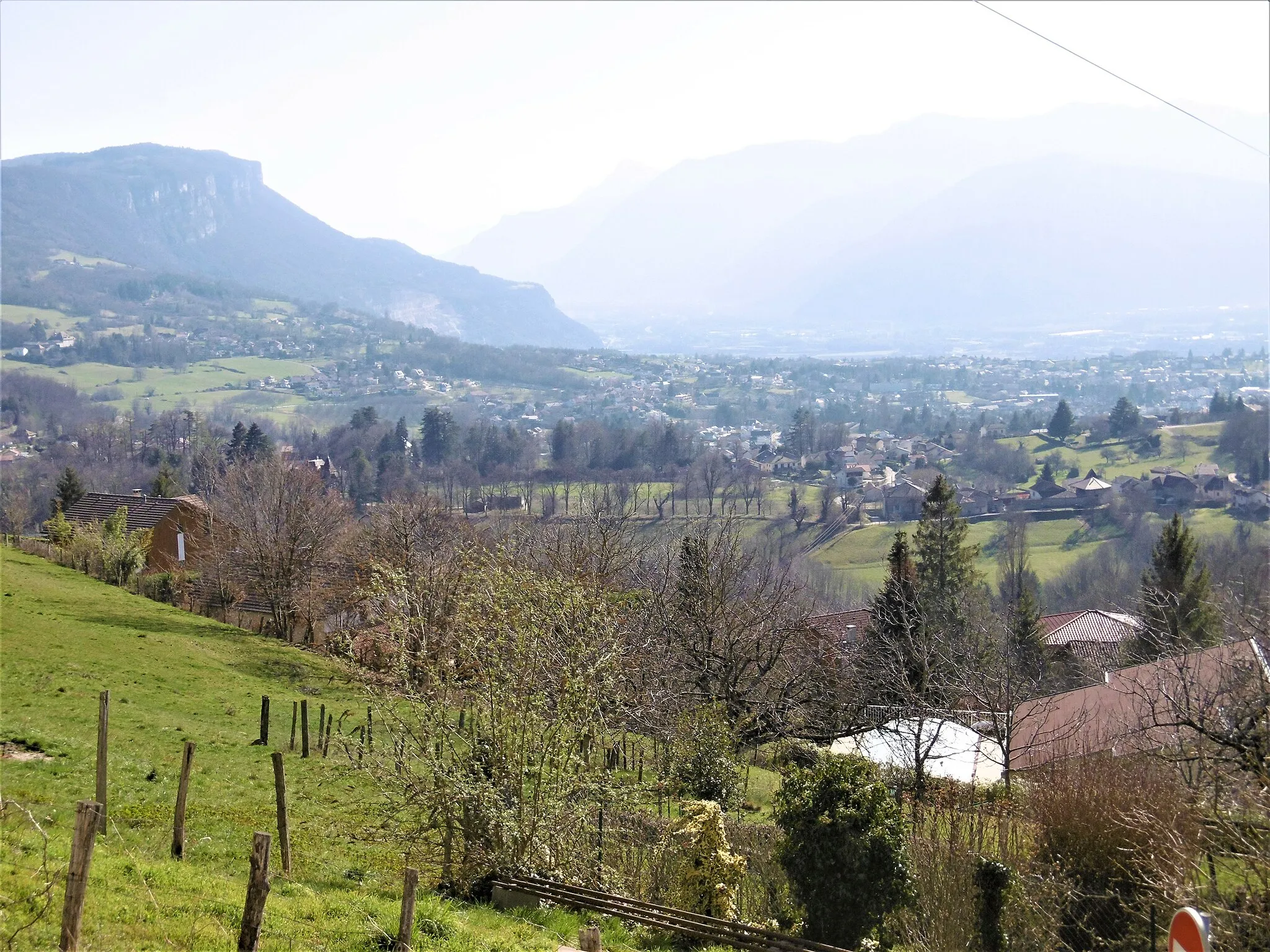
Voreppe is a locality in the Rhône-Alpes region of France. From a cyclist's perspective, Voreppe offers varied terrain options for road cycling and gravel cycling. The location is nestled at the foot of the Chartreuse mountains, providing opportunities for challenging climbs and scenic mountain routes. Voreppe is also a gateway to the renowned Gorges de la Bourne cycling route, known for its breathtaking views and technical aspects. Overall, Voreppe is a great area for both road and gravel cyclists, especially those seeking challenging climbs and stunning mountain scenery.
Picturesque Road Cycling Escape
Immerse yourself in the beauty of Rhône-Alpes on this scenic road cycling escape
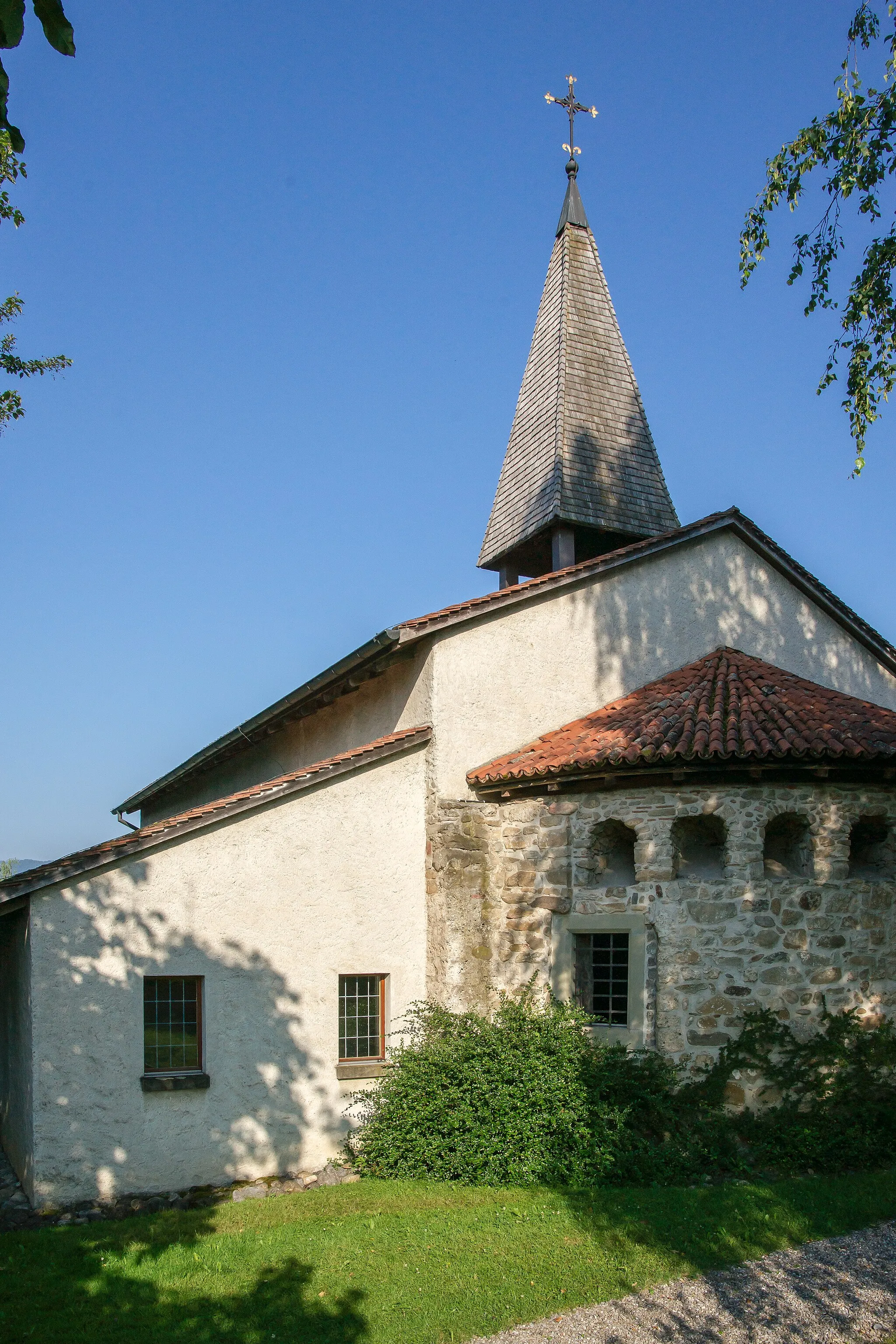
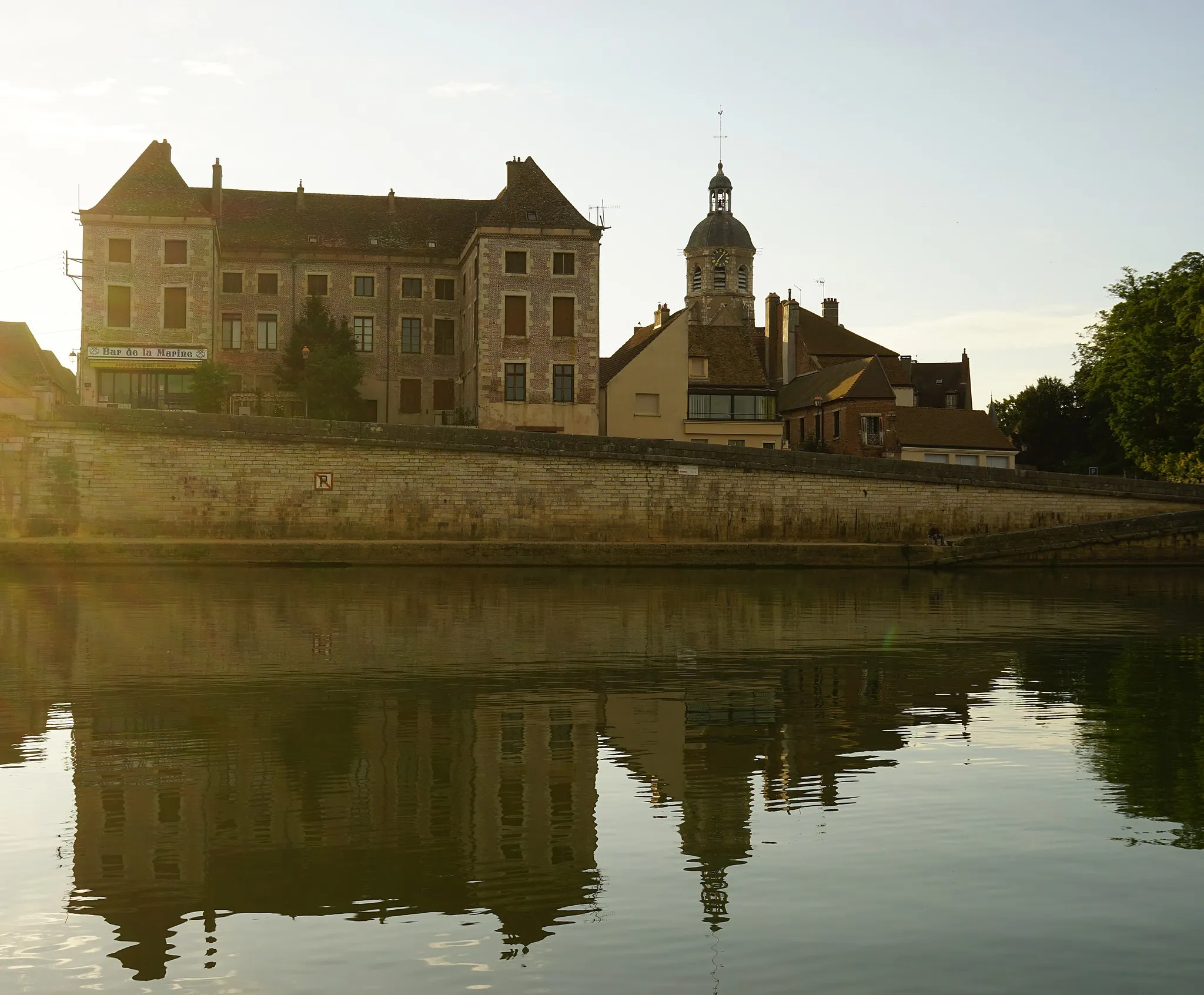
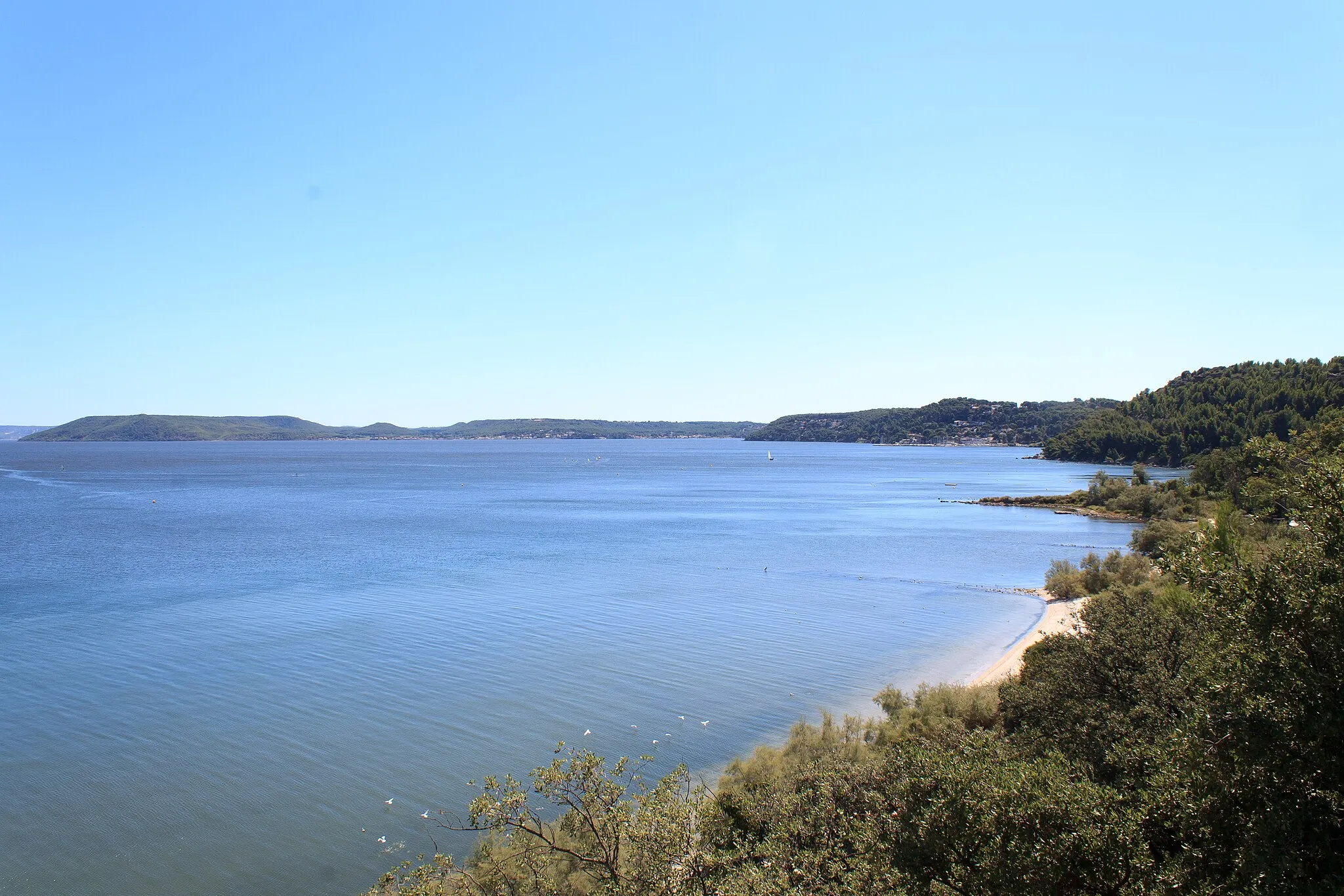
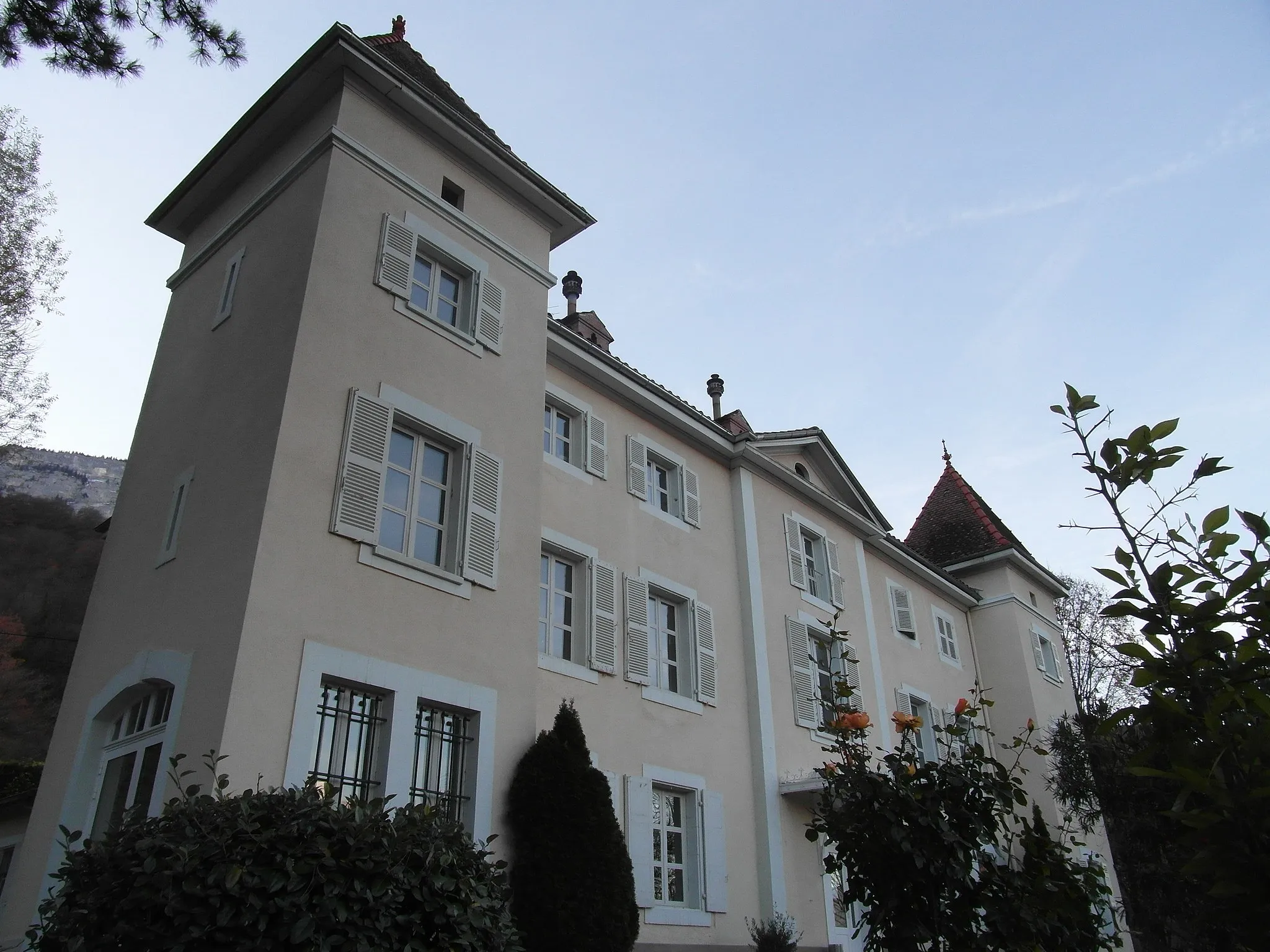
Escape to the stunning landscapes of Rhône-Alpes on this 97 km road cycling route near Voreppe. With a moderate 1208 meters of ascent, this picturesque journey takes you through charming villages and breathtaking natural scenery. Highlights include the beautiful Bec de l'Échaillon viewpoint, the charming village of Vourey, and the peaceful surroundings of Fitilieu. Discover the hidden gem of Roche Brune and marvel at Château de Siéyès as you soak in the rich history and culture of the region. This road cycling escape is ideal for those looking to immerse themselves in the beauty and tranquility of the French countryside.

A challenging road cycling route to Belvédère des maquisards with beautiful highlights
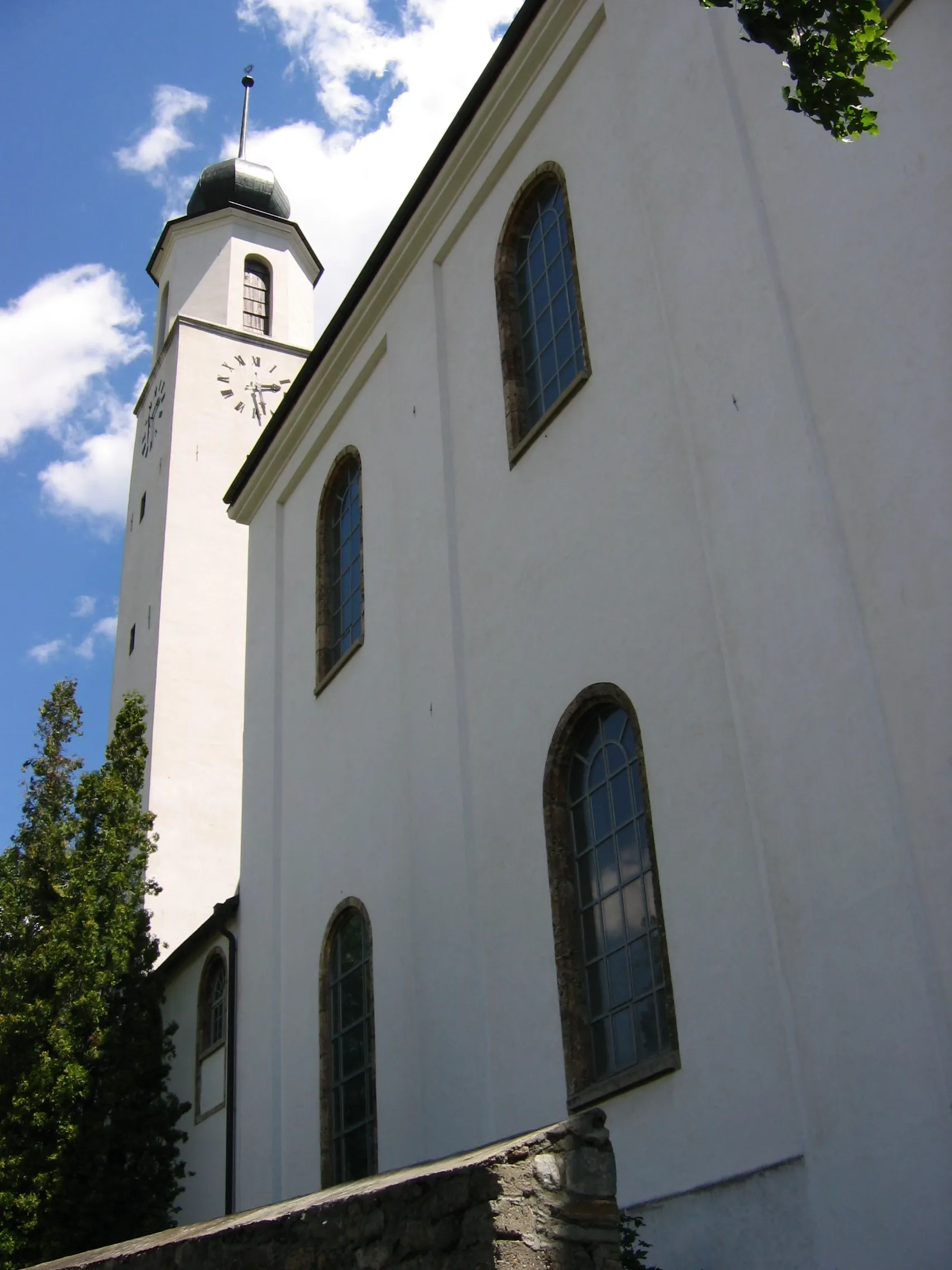
This road cycling route starts in Voreppe and takes you through scenic landscapes and challenging climbs. The route has a total distance of 83 kilometers and an ascent of 1504 meters. Along the way, you will encounter highlights such as Veurey-Voroize, Coteau d'Artets, Rovon, Quincieu, and Le Gey. The highlight of this route is Belvédère des maquisards, which offers stunning views of the surrounding countryside. Overall, this route is suitable for experienced cyclists who enjoy challenging climbs and beautiful scenery.

Discover stunning landscapes and cultural treasures near Voreppe
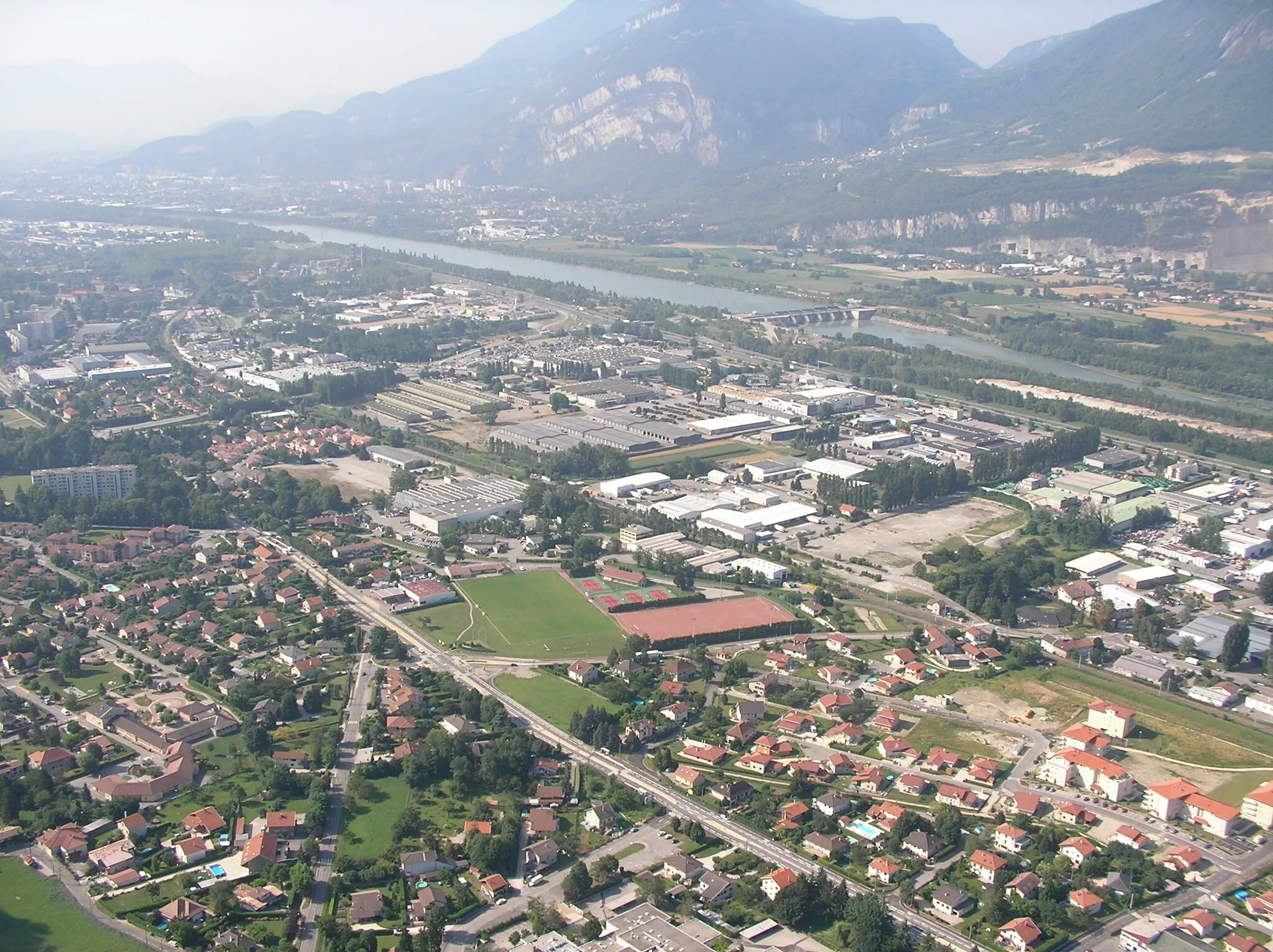
Embark on an unforgettable road cycling experience near Voreppe, exploring the natural beauty and cultural treasures of Rhône-Alpes. This 94 km route with a challenging ascent of 1489 meters takes you through enchanting landscapes and iconic locations. Marvel at the impressive Rocher du Cornillon, admire the vibrant city of Grenoble, and soak in the panoramic views from Mont Rolland. Cycle through picturesque towns like Vizille and Laffrey, and discover hidden gems like the historical Château de Siéyès in Sassenage. Immerse yourself in the rich history and stunning vistas of this captivating region.
Bec de l'Échaillon Challenge
A challenging road cycling route to Bec de l'Échaillon
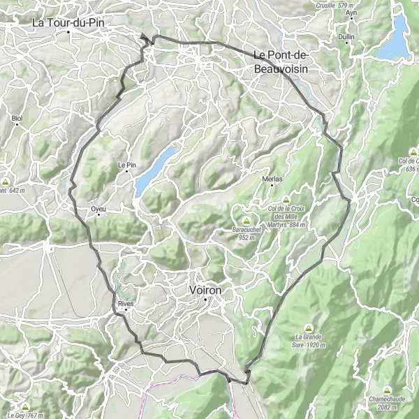
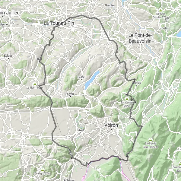
This challenging road cycling route starts in Voreppe and takes you through scenic countryside and challenging climbs. The route has a total distance of 118 kilometers and an ascent of 1978 meters. Along the way, you will encounter highlights such as Bec de l'Échaillon, Tullins, Izeaux, Col de Rossatière, Biol, and La Chapelle-de-la-Tour. The highlight of this route is Merlas, a beautiful village known for its picturesque streets and authentic French atmosphere. Overall, this route is suitable for experienced road cyclists who enjoy tough climbs and scenic landscapes.

Explore the scenic landscapes of Rhône-Alpes on this thrilling gravel cycling route
Embark on an unforgettable cycling adventure through the beautiful region of Rhône-Alpes. This gravel route takes you on a 107 km journey with 3,069 meters of ascent, showcasing the stunning natural and cultural highlights of the area. Get ready for breathtaking mountain passes, charming towns, and spectacular viewpoints.

Conquer legendary climbs and stunning landscapes near Voreppe
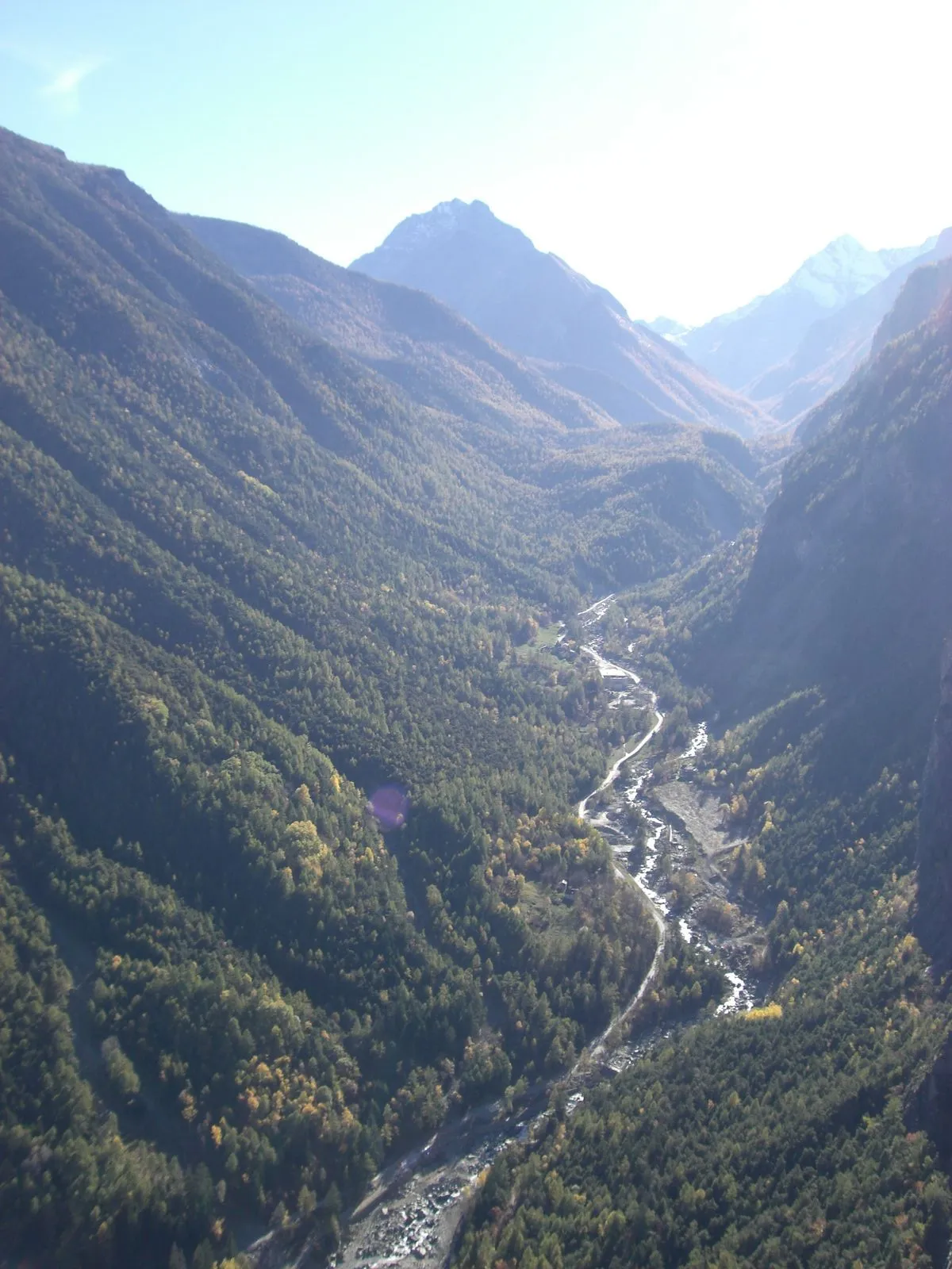
Prepare yourself for an epic road cycling journey starting near Voreppe. This 149 km route with a challenging ascent of 3318 meters will push your limits and reward you with breathtaking views across Rhône-Alpes. Highlight stops include the famous Col de la Placette, spectacular Saint-Pierre-d'Entremont, and the scenic Pointe du Frou. This road cycling challenge is a must for experienced riders looking to test their endurance and conquer legendary climbs in the area.
Conquer challenging climbs and stunning mountain views near Voreppe
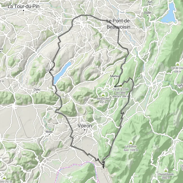
Embark on the ultimate mountain cycling challenge near Voreppe, exploring challenging climbs and breathtaking vistas in the Rhône-Alpes region. This 93 km route with a demanding ascent of 1588 meters will test your skills and endurance. Discover the impressive Belvédère des maquisards, cycle through picturesque villages like La Murette and Charavines, and enjoy the serenity of the scenic Saint-Bueil. Conquer the unforgettable Col de la Croix des Mille Martyrs and visit the stunning Miribel-les-Échelles. This route is perfect for experienced riders seeking a thrilling mountain cycling adventure in the heart of nature.
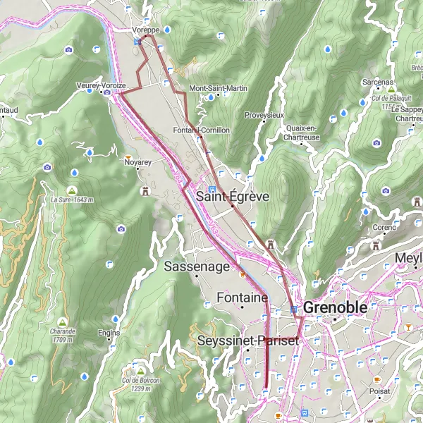
Explore rugged gravel roads near Voreppe
Embark on a thrilling gravel bike adventure near Voreppe, cycling through the picturesque Rhône-Alpes region. This 37 km route includes a moderate ascent of 156 meters and offers stunning natural surroundings. Get ready to discover hidden gems like the majestic Rocher du Cornillon and the charming village of Fontaine. With its diverse terrain and scenic highlights, this gravel adventure is perfect for those seeking an off-road cycling experience in the French countryside.
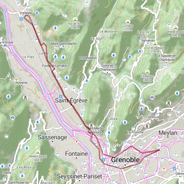
A gravel cycling route with stunning viewpoints
This gravel cycling route starts in Voreppe and takes you through scenic landscapes and beautiful viewpoints. The route has a total distance of 38 kilometers and an ascent of 216 meters. Along the way, you will encounter highlights such as Point de vue de la Fetola, Belvédère Vauban, Grenoble, and Saint-Égrève. The highlight of this route is the panoramic view from Rocher du Cornillon. Overall, this route is suitable for cyclists who enjoy off-road adventures and breathtaking views.
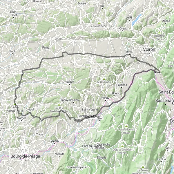
An epic road cycling route to Bec de l'Échaillon
This epic road cycling route starts in Voreppe and takes you through scenic landscapes and challenging climbs. The route has a total distance of 146 kilometers and an ascent of 1546 meters. Along the way, you will encounter highlights such as Bec de l'Échaillon, La Rivière, Chatte, Saint-Michel-sur-Savasse, Col de la Pierrote, Hauterives, Marcilloles, Brézins, Beaucroissant, and Moirans. The highlight of this route is Belvédère des maquisards, which offers panoramic views of the surrounding mountains and valleys. Overall, this route is suitable for experienced cyclists who enjoy epic climbs and stunning scenery.
Cycling routes nearby:


Nearby regions: