Bec de l'Échaillon Challenge
A road cycling route starting from Voreppe
A challenging road cycling route to Bec de l'Échaillon
Map
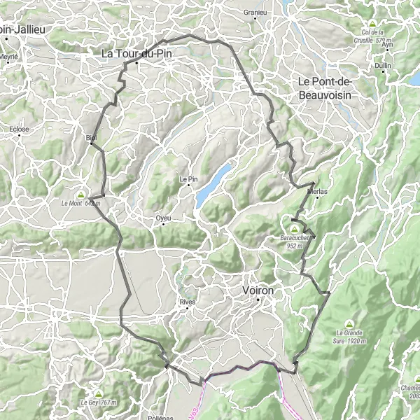
This challenging road cycling route starts in Voreppe and takes you through scenic countryside and challenging climbs. The route has a total distance of 118 kilometers and an ascent of 1978 meters. Along the way, you will encounter highlights such as Bec de l'Échaillon, Tullins, Izeaux, Col de Rossatière, Biol, and La Chapelle-de-la-Tour. The highlight of this route is Merlas, a beautiful village known for its picturesque streets and authentic French atmosphere. Overall, this route is suitable for experienced road cyclists who enjoy tough climbs and scenic landscapes.
road
118 km
1978 m
Tough
Route profile
Highlights on the route
0 km
0 km
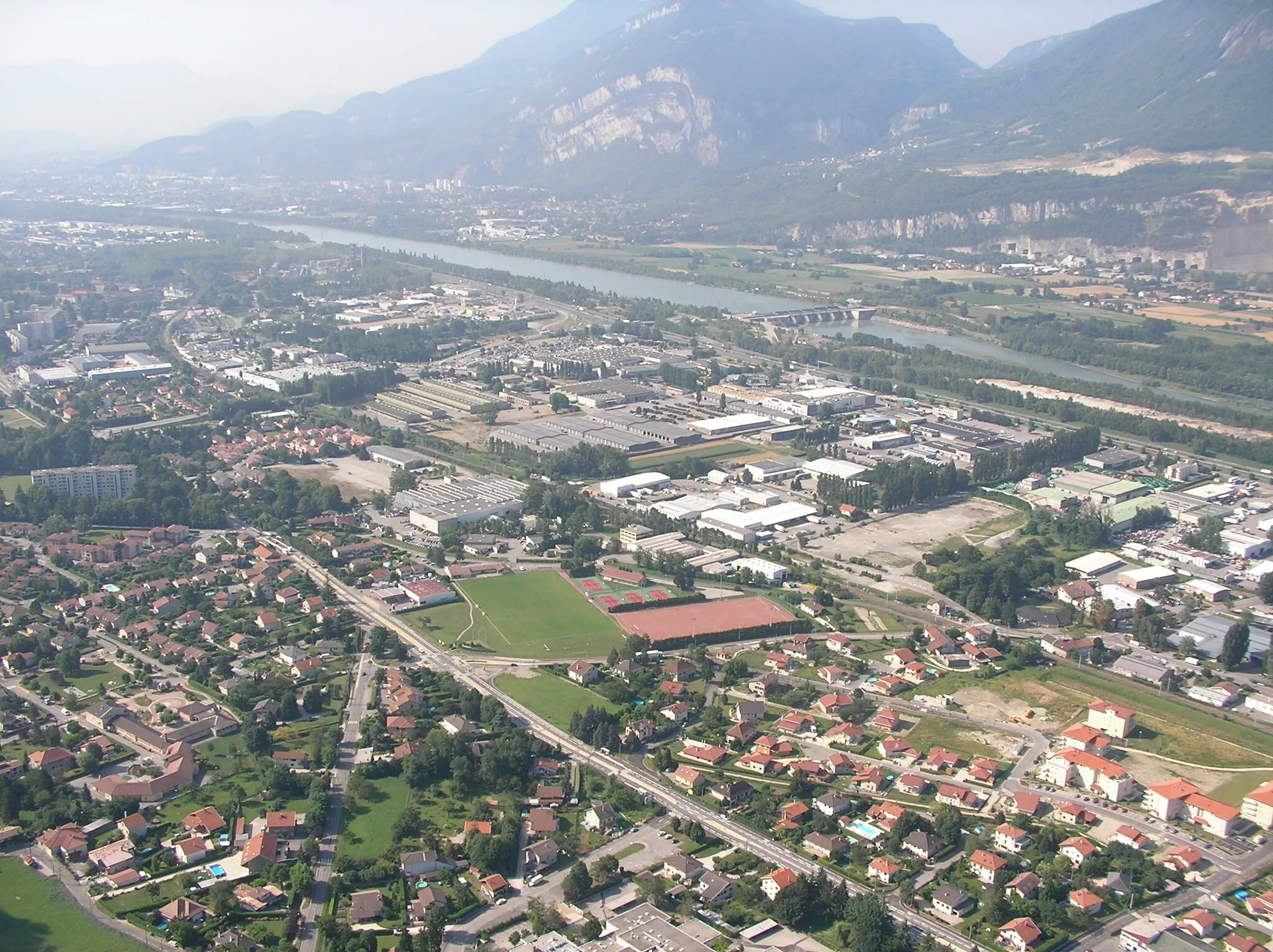
Start: Voreppe Village centerVoreppe: Cyclist's paradise at the base of the Chartreuse mountains.
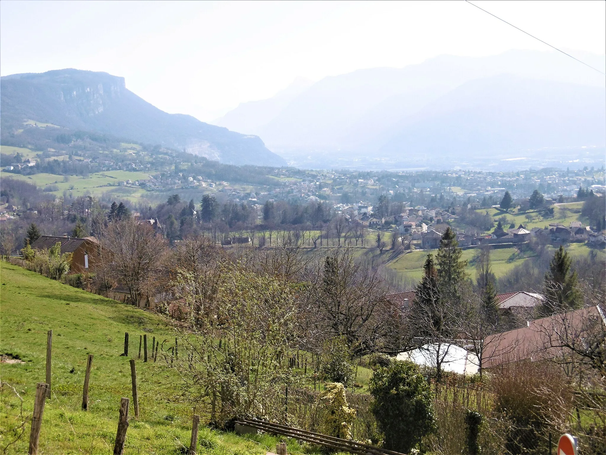
Voreppe is a locality in the Rhône-Alpes region of France. From a cyclist's perspective, Voreppe offers varied terrain options for road cycling and gravel cycling. The location is nestled at the foot of the Chartreuse mountains, providing opportunities for challenging climbs and scenic mountain routes. Voreppe is also a gateway to the renowned Gorges de la Bourne cycling route, known for its breathtaking views and technical aspects. Overall, Voreppe is a great area for both road and gravel cyclists, especially those seeking challenging climbs and stunning mountain scenery.4 km
4 km
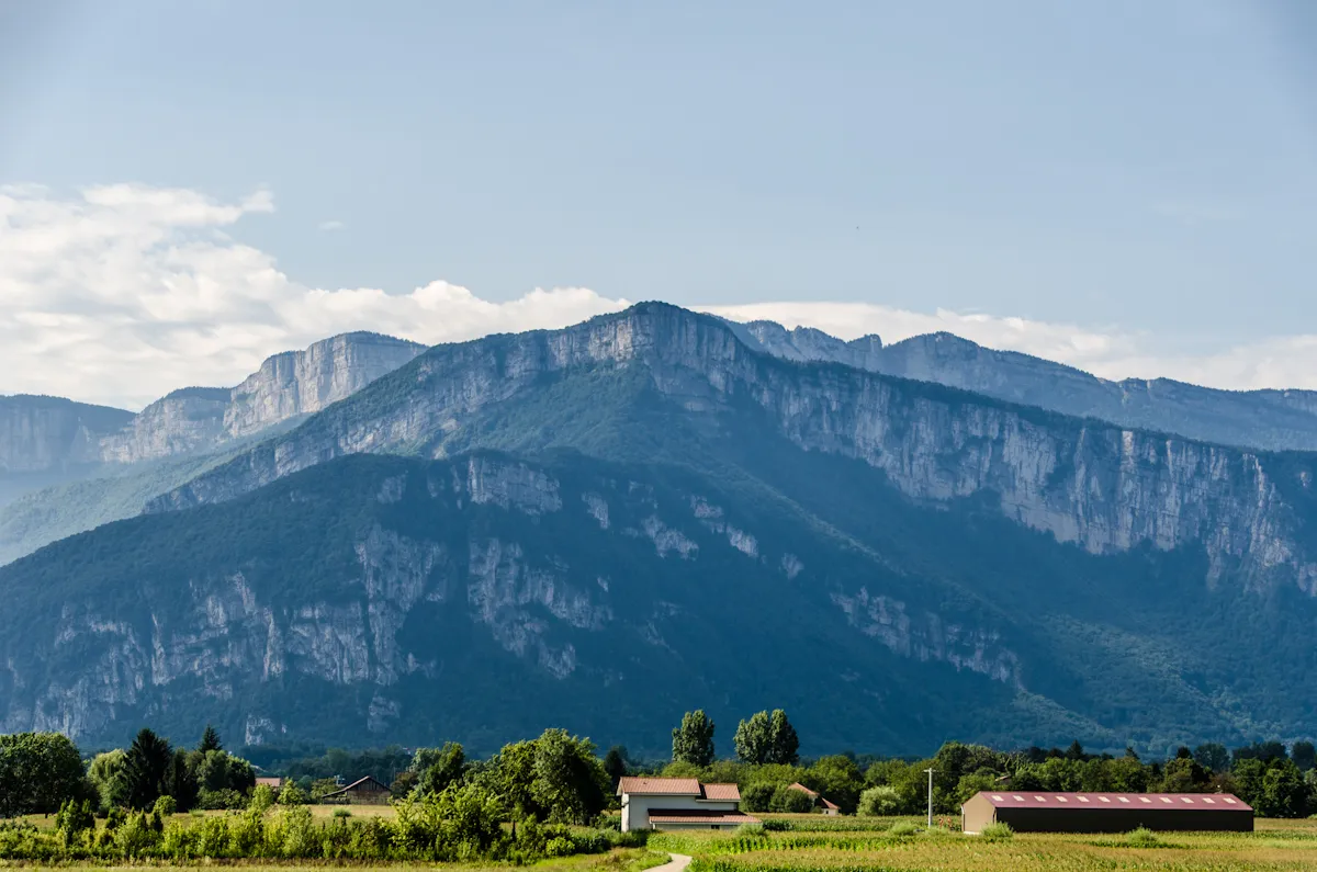
Bec de l'Échaillon622 mPeak ViewpointBec de l'Échaillon is a challenging climb that rewards cyclists with stunning views at the top.
15 km
15 km
TullinsVillageTullins is a charming town known for its historic architecture and vibrant market.
24 km
24 km
IzeauxVillageIzeaux is a small village surrounded by rolling hills and picturesque vineyards.
42 km
42 km
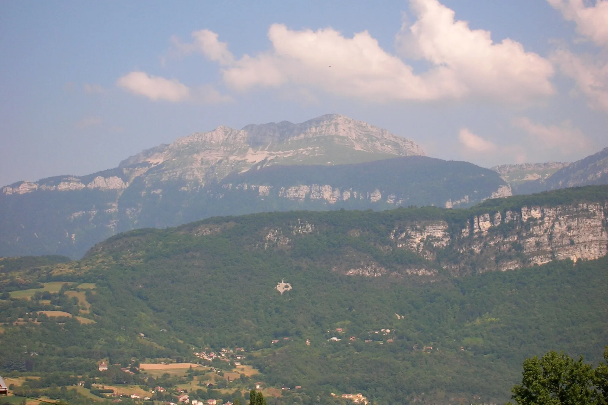
Col de Rossatière573 mMountain PassCol de Rossatière is a challenging mountain pass that provides cyclists with breathtaking views of the surrounding landscapes.
46 km
46 km
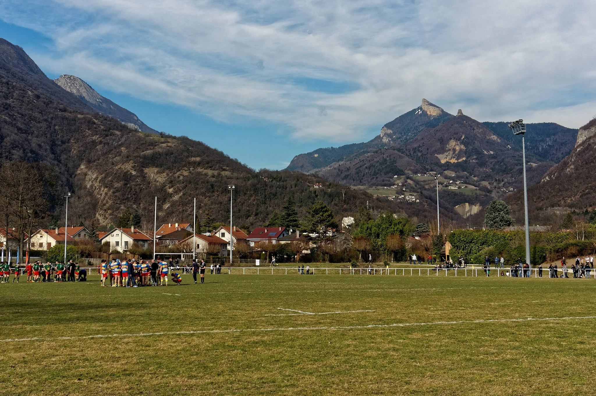
BiolVillageBiol is a quaint village known for its traditional French charm and beautiful countryside.
61 km
61 km
La Chapelle-de-la-TourVillageLa Chapelle-de-la-Tour is a picturesque village located in the heart of the Isère department.
74 km
74 km
CharancieuVillageCharancieu is a scenic village known for its beautiful lake and stunning natural landscapes.
90 km
90 km
MerlasVillageMerlas is a charming village that is worth a visit for its peaceful atmosphere and authentic French character.
95 km
95 km
Baracuchet952 mPeakBaracuchet is a scenic mountain pass that offers breathtaking views of the surrounding countryside.
104 km
104 km
Saint-Étienne-de-CrosseyVillageSaint-Étienne-de-Crossey is a quaint village known for its charming streets and historic buildings.
112 km
112 km
Col de la Placette594 mMountain PassCol de la Placette is a challenging climb that provides cyclists with panoramic views at the top.
118 km
118 km
Finish: Voreppe Village centerVoreppe: Cyclist's paradise at the base of the Chartreuse mountains.
Cycling routes from Voreppe:
Bec de l'Échaillon Challenge Ultimate Mountain Challenge Gravel Cycling Adventure in Rhône-Alpes Bec de l'Échaillon Epic Adventure Voreppe - Belvédère des maquisards Gravel Adventure through Voreppe Picturesque Road Cycling Escape The Ultimate Road Cycling Challenge Voreppe Gravel Adventure Experience the Beauty of Rhône-Alpes by Road Bike Voreppe Terrains: A Challenging Road Cycling Adventure
Cycling routes nearby: