Voreppe Terrains: A Challenging Road Cycling Adventure
A road cycling route starting from Voreppe
Embark on a thrilling road cycling experience through the picturesque terrains near Voreppe.
Map
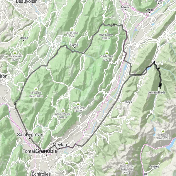
This round-trip cycling route near Voreppe offers a diverse range of landscapes, from scenic valleys to mountainous peaks. The route covers a total distance of 152 kilometers, with an elevation gain of 3058 meters. Cyclists can expect a challenging ride, making it ideal for very well-trained amateurs. With its epicness and breathtaking highlights along the way, this route is sure to satisfy any cycling enthusiast.
road
152 km
3058 m
Tough
Route profile
Highlights on the route
0 km
0 km
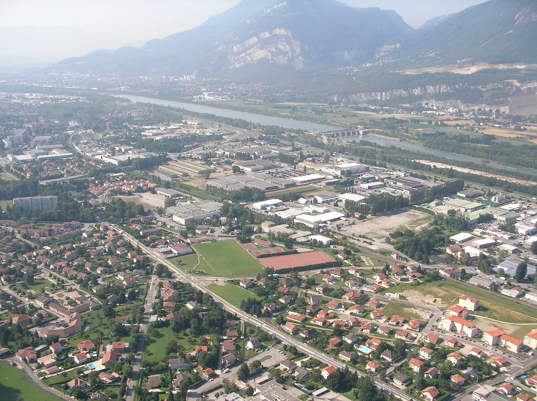
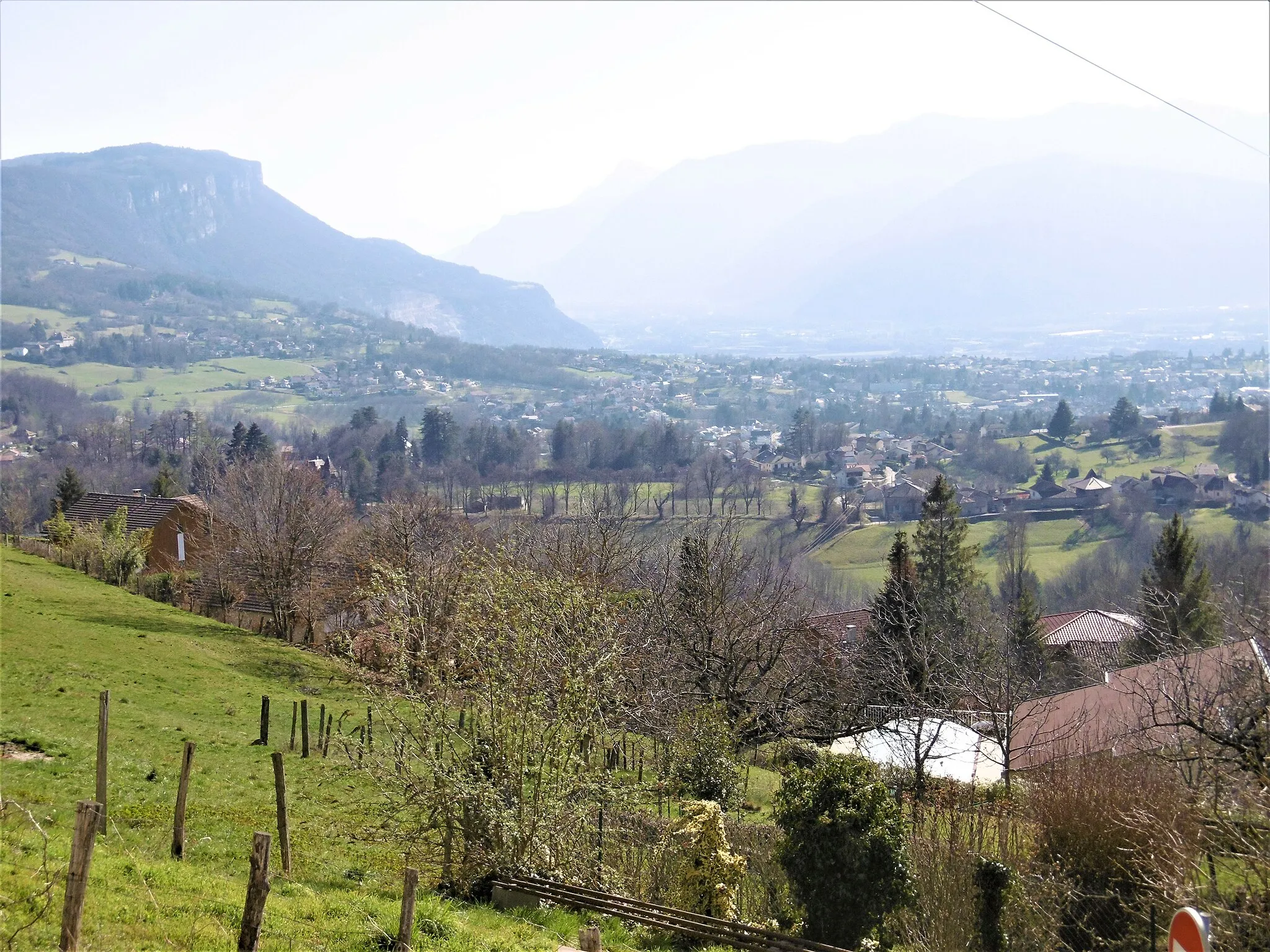
Start: Voreppe Village centerVoreppe: Cyclist's paradise at the base of the Chartreuse mountains.
Voreppe is a locality in the Rhône-Alpes region of France. From a cyclist's perspective, Voreppe offers varied terrain options for road cycling and gravel cycling. The location is nestled at the foot of the Chartreuse mountains, providing opportunities for challenging climbs and scenic mountain routes. Voreppe is also a gateway to the renowned Gorges de la Bourne cycling route, known for its breathtaking views and technical aspects. Overall, Voreppe is a great area for both road and gravel cyclists, especially those seeking challenging climbs and stunning mountain scenery.6 km
6 km
Col de la Placette594 mMountain PassCol de la Placette, located at a distance of 6 kilometers, offers a thrilling ascent with stunning panoramic views of the surrounding mountains.
12 km
12 km
Saint-Joseph-de-RivièreVillageSaint-Joseph-de-Rivière, located at a distance of 12 kilometers, is a charming village known for its traditional architecture and tranquil atmosphere.
24 km
24 km
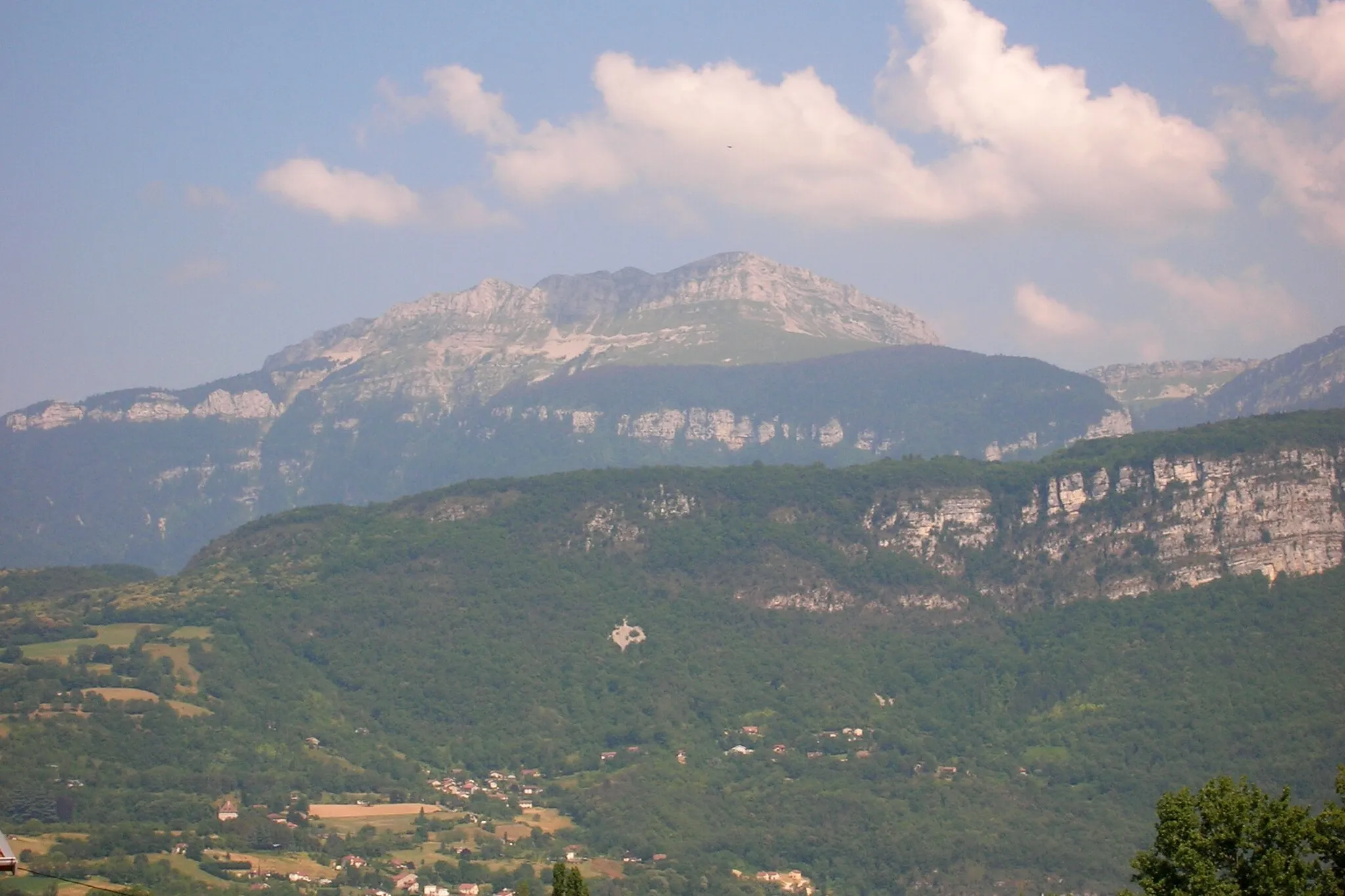
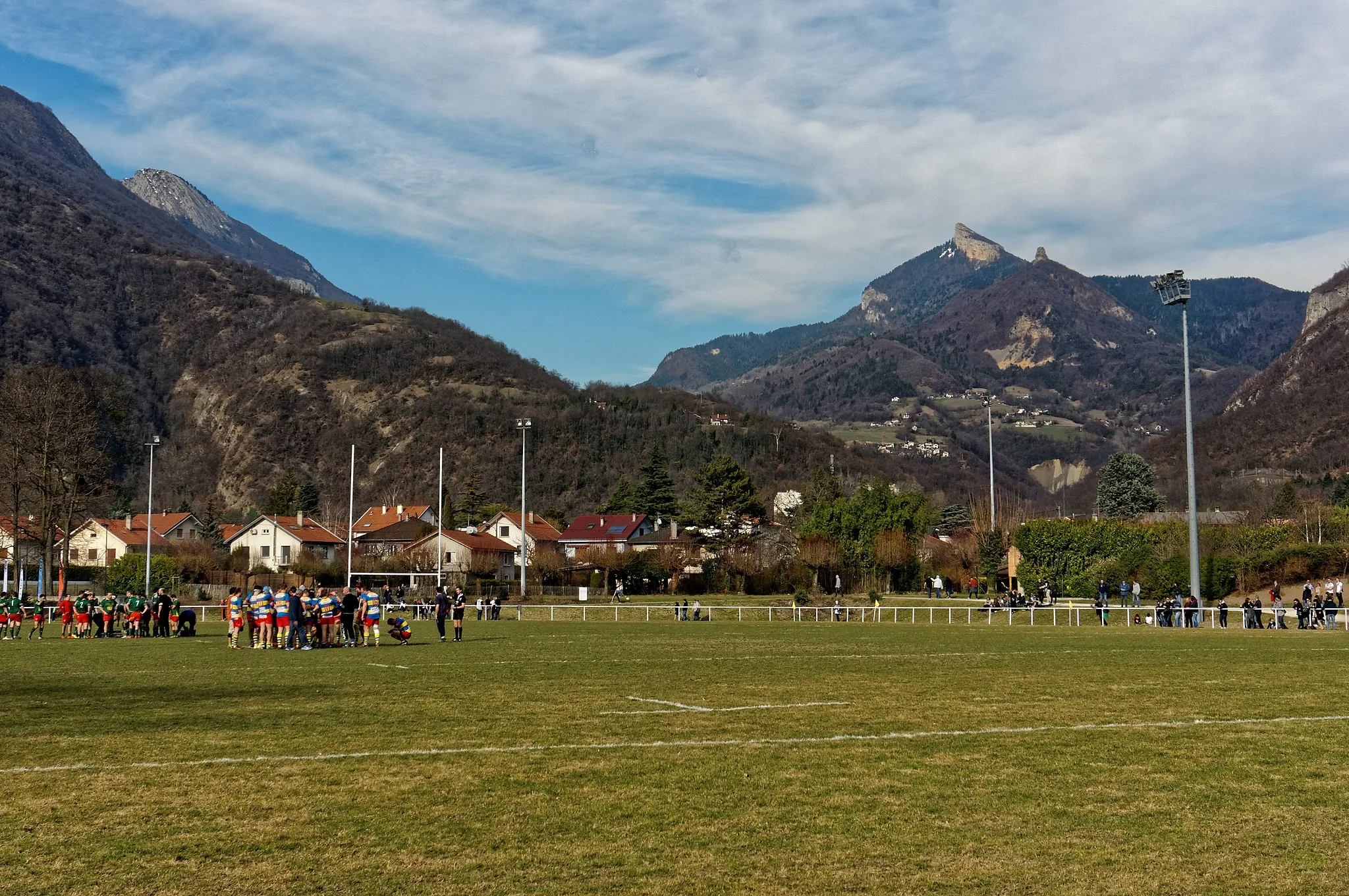
Pointe du Frou1160 mPeak ViewpointPointe du Frou, situated 24 kilometers into the route, showcases a dramatic cliff formation offering awe-inspiring views of the surrounding countryside.
30 km
30 km
Saint-Pierre-d'Entremont (Savoie)VillageSaint-Pierre-d'Entremont (Savoie), located 30 kilometers from the starting point, is a picturesque alpine village nestled in the Savoie region, known for its natural beauty and rich history.
40 km
40 km
Col du Granier1134 mMountain PassCol du Granier, situated 40 kilometers into the route, is a challenging climb that rewards cyclists with panoramic vistas stretching across the Rhône-Alpes region.
53 km
53 km
BarrauxVillageBarraux, located at a distance of 53 kilometers, is home to a historical fortress offering insights into the region's past.
62 km
62 km
Le CheylasVillageLe Cheylas, situated 62 kilometers into the route, showcases traditional architecture and offers opportunities to immerse in local culture.
106 km
106 km
GoncelinVillageGoncelin, located at a distance of 106 kilometers, is a quaint town known for its charming streets and picturesque surroundings.
121 km
121 km
panorama du GrésivaudanViewpointPanorama du Grésivaudan, situated 121 kilometers into the route, offers breathtaking views of the Grésivaudan Valley that cyclists won't want to miss.
125 km
125 km
DomèneVillageDomène, located 125 kilometers from the starting point, is a peaceful commune known for its natural beauty and scenic hiking trails.
135 km
135 km
La TroncheVillageLa Tronche, situated 135 kilometers into the route, is home to a small chapel surrounded by serene landscapes, providing a peaceful spot for a short rest.
146 km
146 km
Rocher du Cornillon315 mPeakRocher du Cornillon, located 146 kilometers from the starting point, is an impressive rock formation offering panoramic views of the surrounding countryside.
152 km
152 km
Finish: Voreppe Village centerVoreppe: Cyclist's paradise at the base of the Chartreuse mountains.
Cycling routes from Voreppe:
Bec de l'Échaillon Challenge Ultimate Mountain Challenge Gravel Cycling Adventure in Rhône-Alpes Bec de l'Échaillon Epic Adventure Voreppe - Belvédère des maquisards Gravel Adventure through Voreppe Picturesque Road Cycling Escape The Ultimate Road Cycling Challenge Voreppe Gravel Adventure Experience the Beauty of Rhône-Alpes by Road Bike Voreppe Terrains: A Challenging Road Cycling Adventure
Cycling routes nearby: