Sillingy Gravel Route
A gravel cycling route starting from Sillingy
Explore the gravel paths near Sillingy
Map
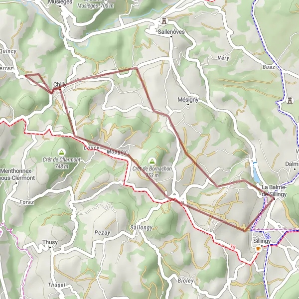
This route takes you through the picturesque gravel paths near Sillingy, offering a mix of scenic views and thrilling off-road sections. With a total ascent of 465 meters and a distance of 24 kilometers, it provides an enjoyable ride for gravel enthusiasts.
gravel
24 km
465 m
Chill
Route profile
Highlights on the route
0 km
0 km
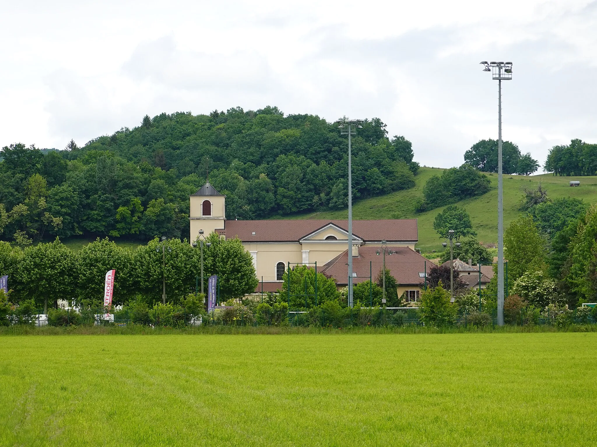
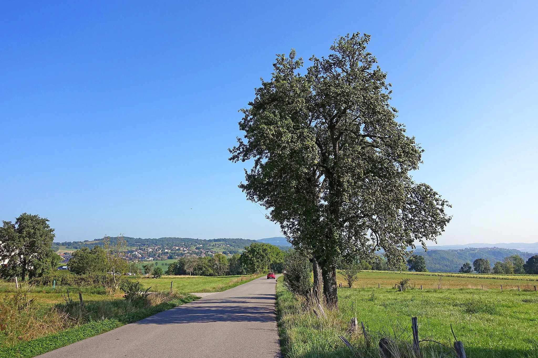
Start: La Balme-de-Sillingy Village centerSillingy: Challenging terrain and stunning mountain views in Rhône-Alpes.
Sillingy, located in the Rhône-Alpes region of France, is a cyclists' paradise. The area is known for its challenging terrain, with steep climbs and stunning mountain views. Road cyclists will find plenty of well-maintained roads, while gravel cyclists can explore the scenic paths and trails of the nearby mountains. Sillingy is also close to famous cycling-related spots, such as Annecy and La Clusaz, which offer renowned climbs like Col de la Colombière and Semnoz. Whether you're a fan of road cycling or gravel riding, Sillingy is a fantastic destination for all cycling enthusiasts.1 km
1 km
SillingyVillageLocated in Sillingy, this highlight offers a great starting point for the route. Enjoy the charming surroundings before embarking on your gravel adventure.
9 km
9 km
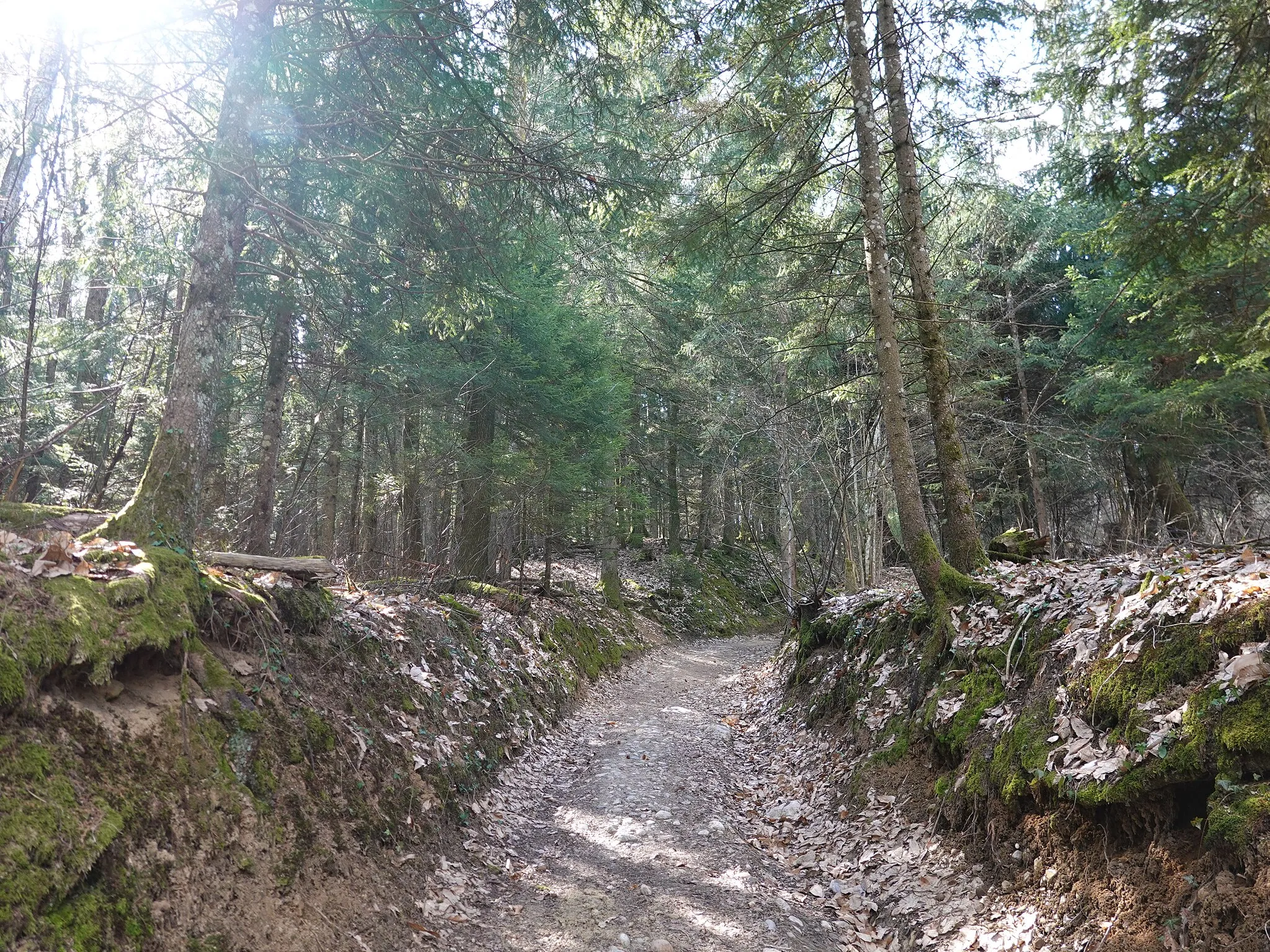
Crêt de Charmont748 mPeakCrêt de Charmont offers breathtaking overlooks along the route. Take a moment to pause and admire the stunning panoramic views.
19 km
19 km
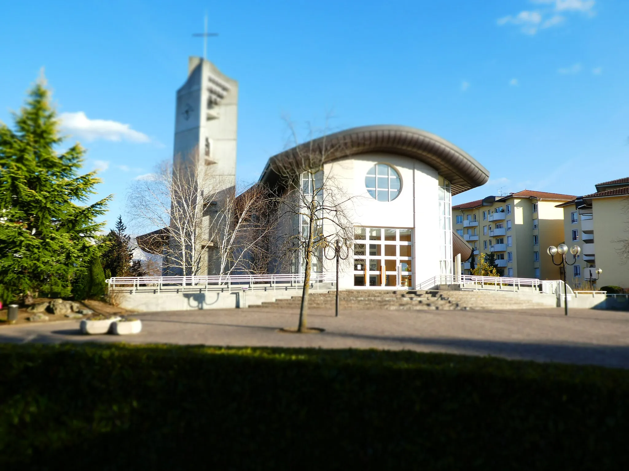
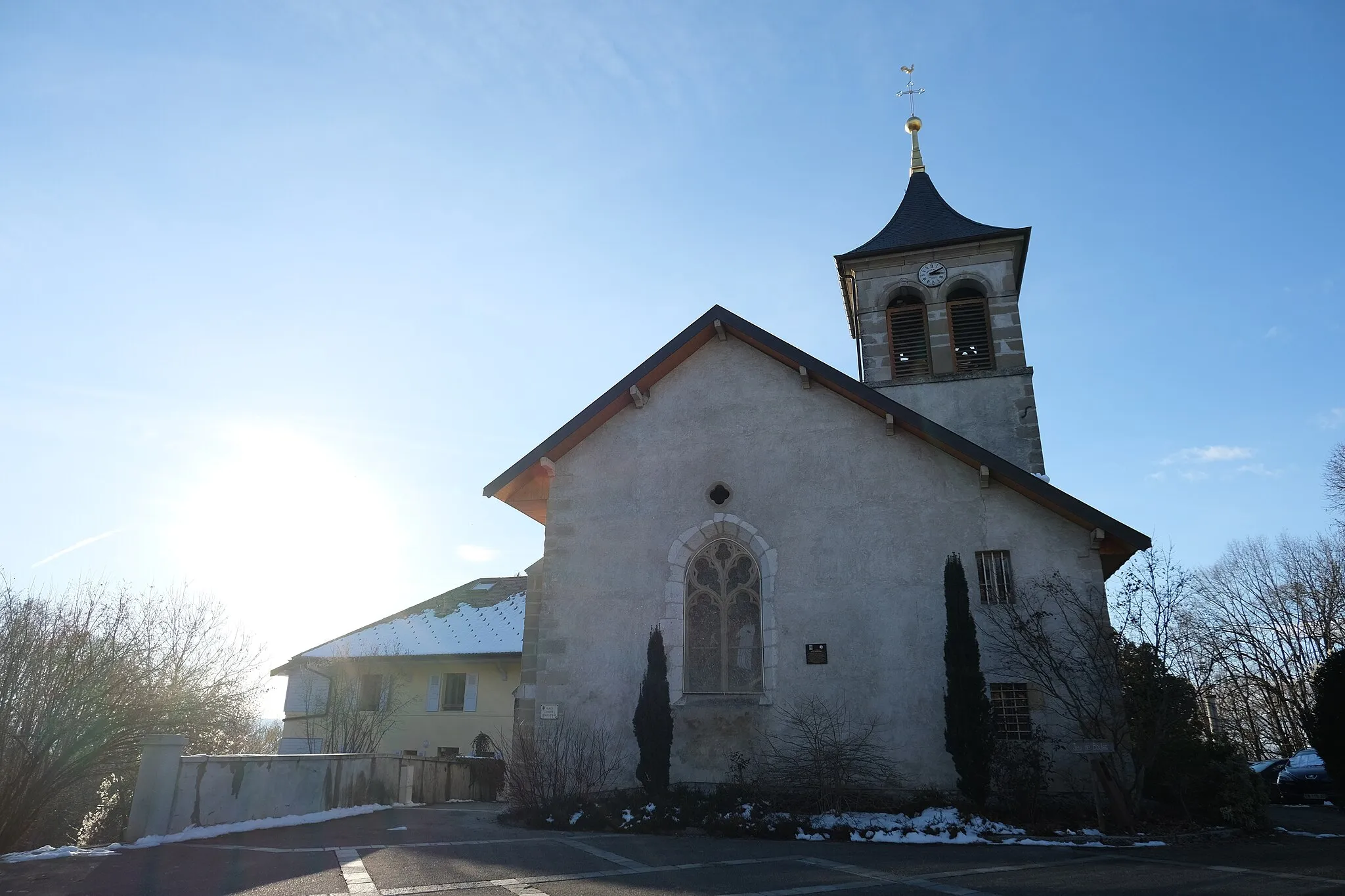
MésignyVillageMésigny is a hidden gem on this route. Discover the beauty of this village and soak in the peaceful atmosphere as you pass through.
24 km
24 km
Finish: La Balme-de-Sillingy Village centerSillingy: Challenging terrain and stunning mountain views in Rhône-Alpes.
Cycling routes from Sillingy:
Cycling routes nearby: