Scenic Road Ride via Les Villards-sur-Thônes
A road cycling route starting from Thones
Enjoy scenic views on a road ride through Les Villards-sur-Thônes
Map
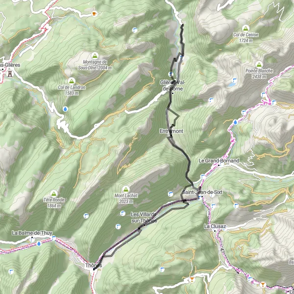
This road cycling route presents a shorter, yet still challenging option for cyclists. Covering a distance of 48 km and an ascent of 1208 m, it offers scenic views of the surrounding mountains. Highlights include Les Villards-sur-Thônes and Col de St Jean de Sixt. The route is graded as 3 in difficulty, suitable for well-trained amateur cyclists. With an epicness score of 3, it offers an enjoyable riding experience. The highlights along this route have scores ranging from 3 to 4.
road
48 km
1208 m
Tough
Route profile
Highlights on the route
0 km
0 km
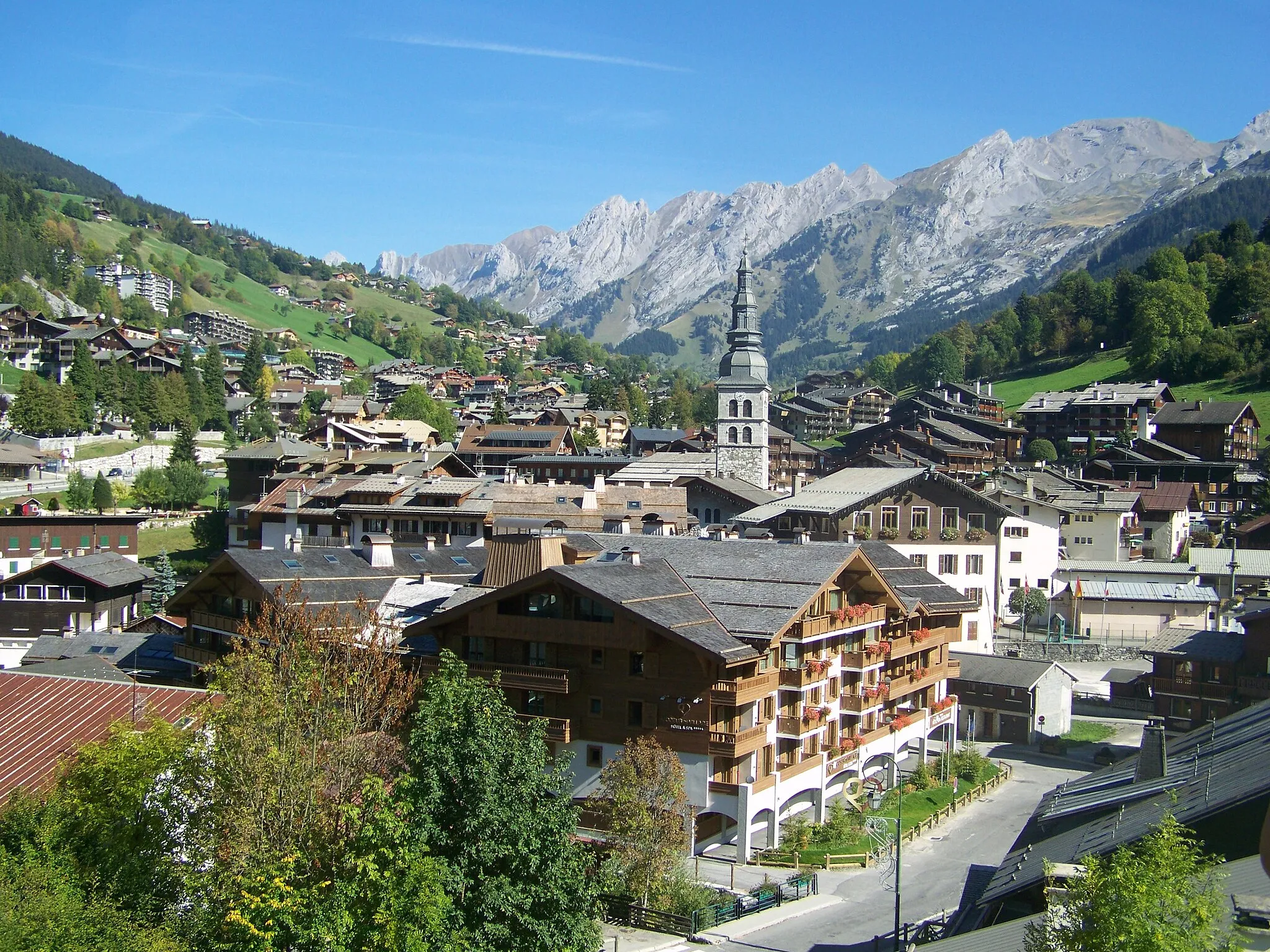
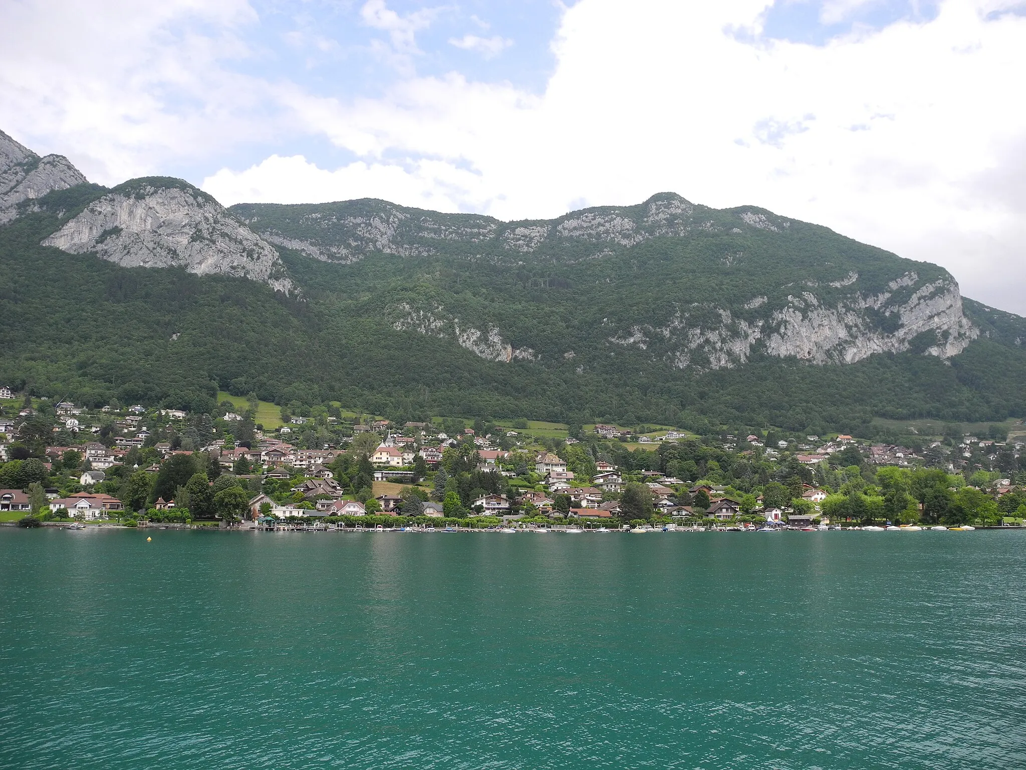
Start: Thônes Village centerThônes: Conquer the Aravis Mountains from Thônes
Thônes is a picturesque locality located in the Rhône-Alpes region of France. From a cyclist's perspective, it offers a variety of cycling routes catering to different preferences. The roads are generally well-paved and wind through rolling hills and scenic landscapes. Thônes is known as the gateway to the Aravis mountain range, home to famous climbs such as Col de la Croix Fry and Col de la Colombière. These challenging climbs attract both professional and amateur cyclists seeking to test their limits. Thônes itself is a charming Alpine town with a rich cultural heritage, making it an ideal base for cycling adventures in the region.4 km
4 km
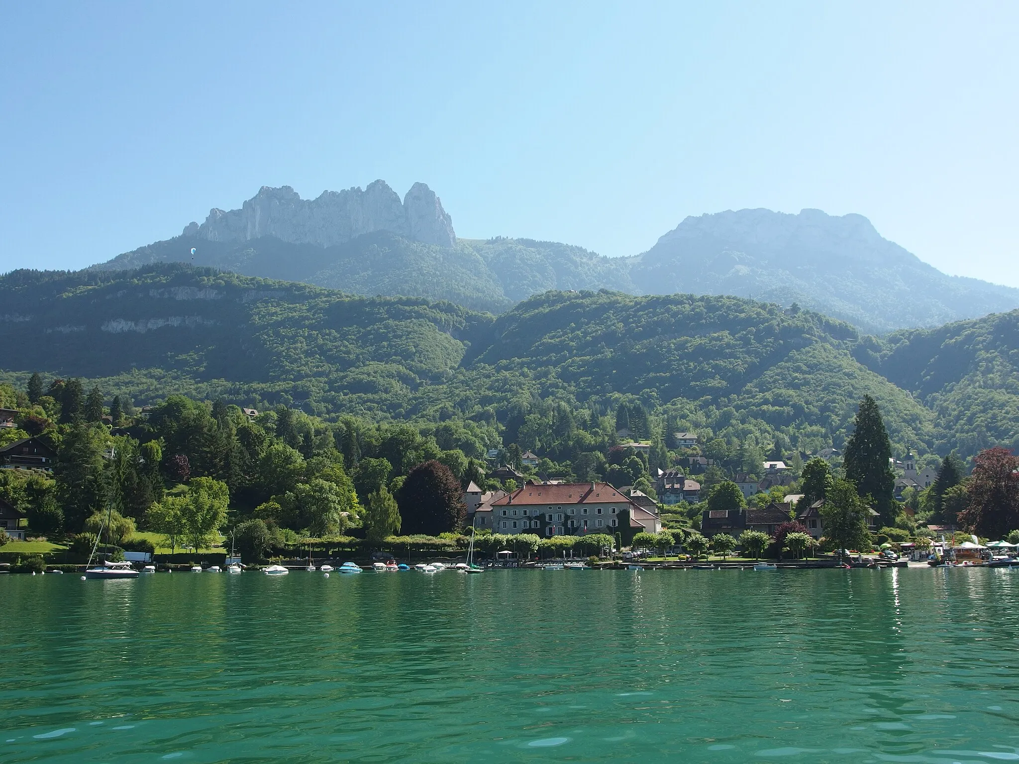
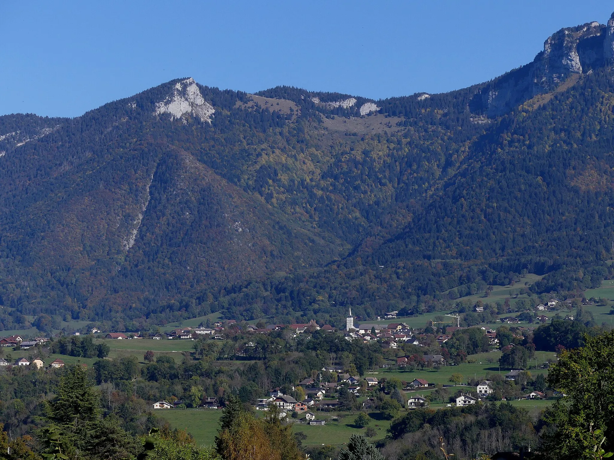
Les Villards-sur-ThônesVillageLes Villards-sur-Thônes is a picturesque village that offers incredible views of the surrounding nature and tranquility.
38 km
38 km
Col de St Jean de Sixt956 mMountain PassCol de St Jean de Sixt provides breathtaking panoramic views and a challenging ascent for cyclists.
38 km
38 km
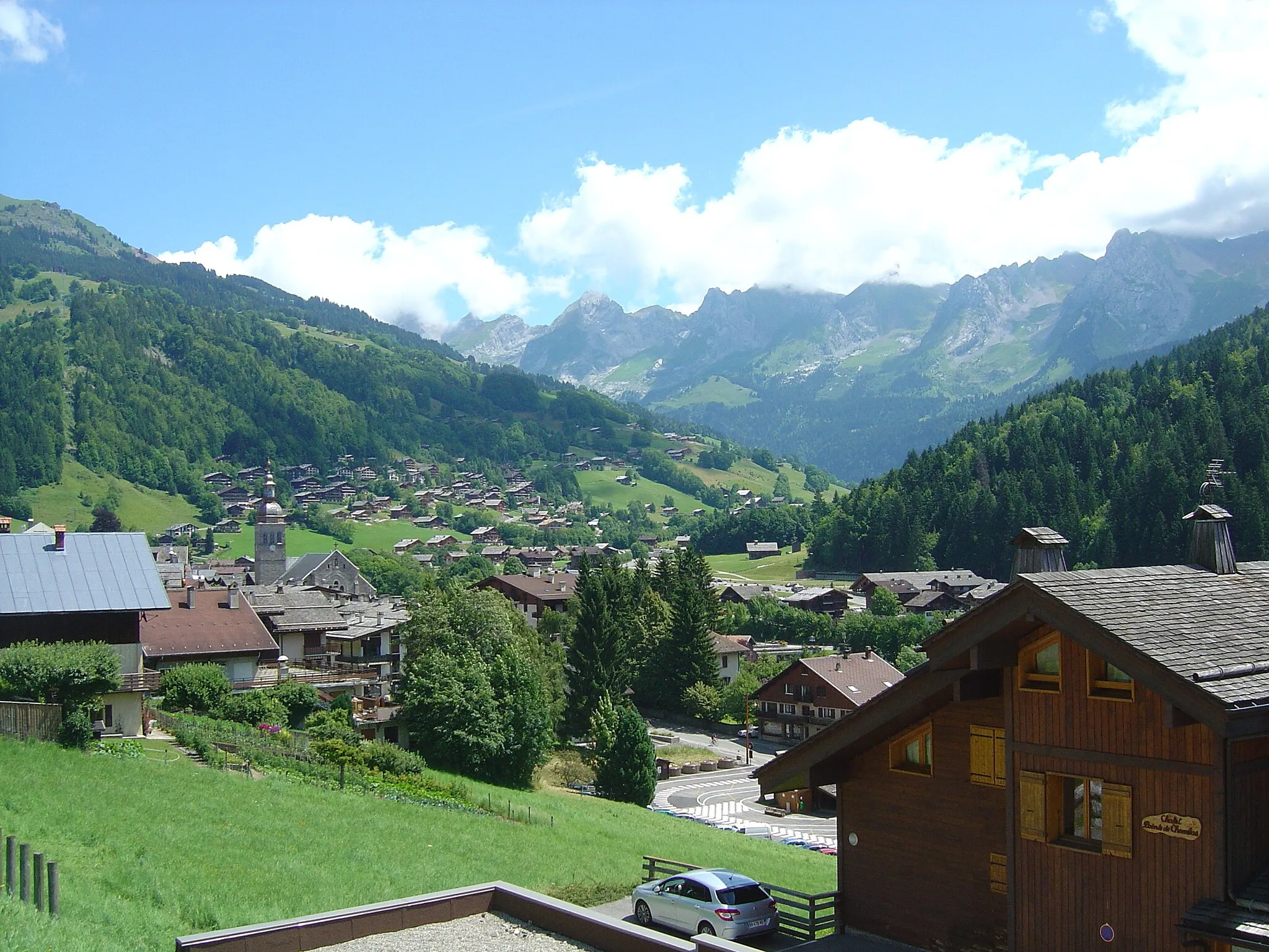
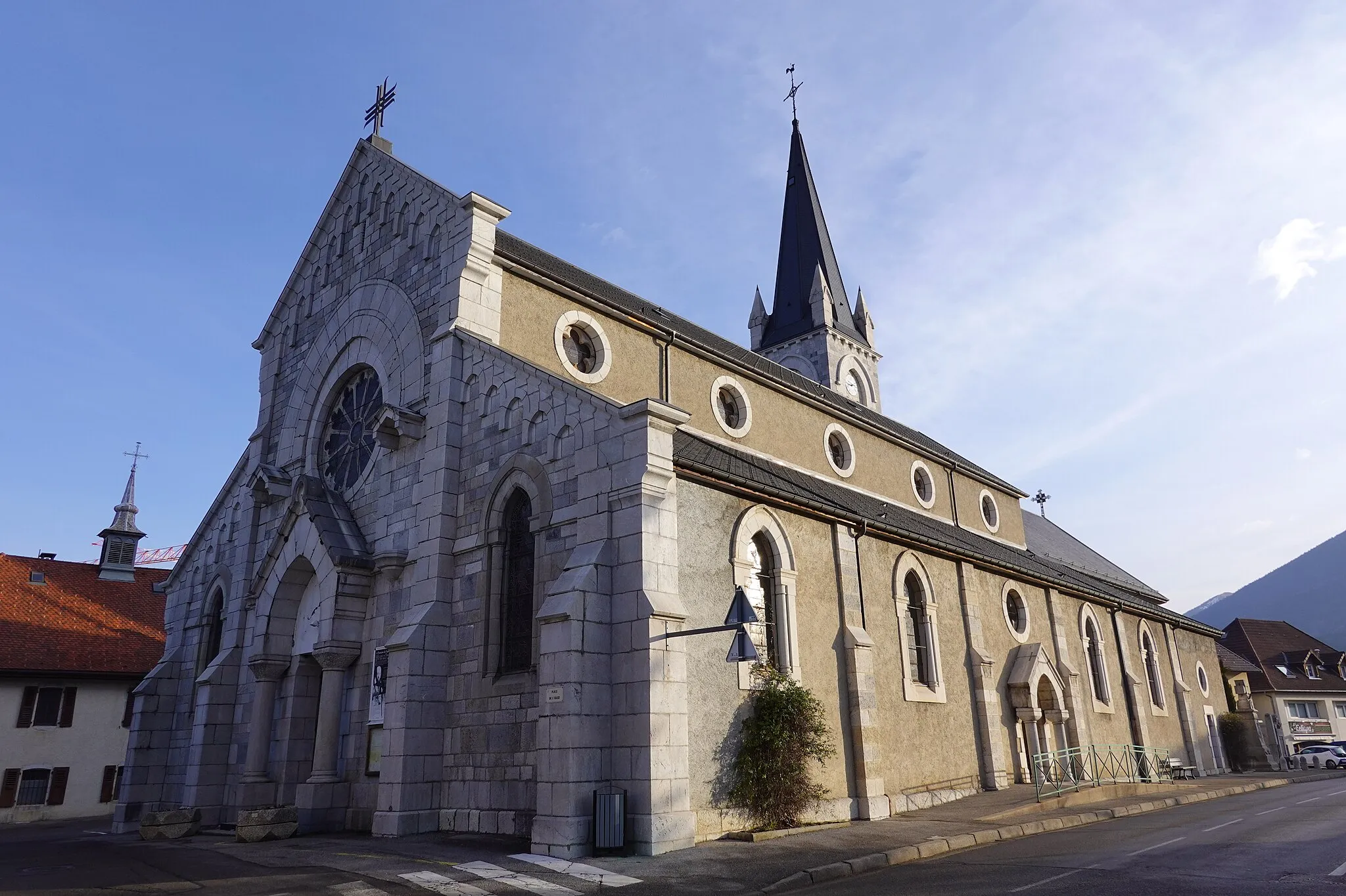
Saint-Jean-de-SixtVillageSaint-Jean-de-Sixt is a charming Alpine village with traditional architecture and lively summer festivals.
48 km
48 km
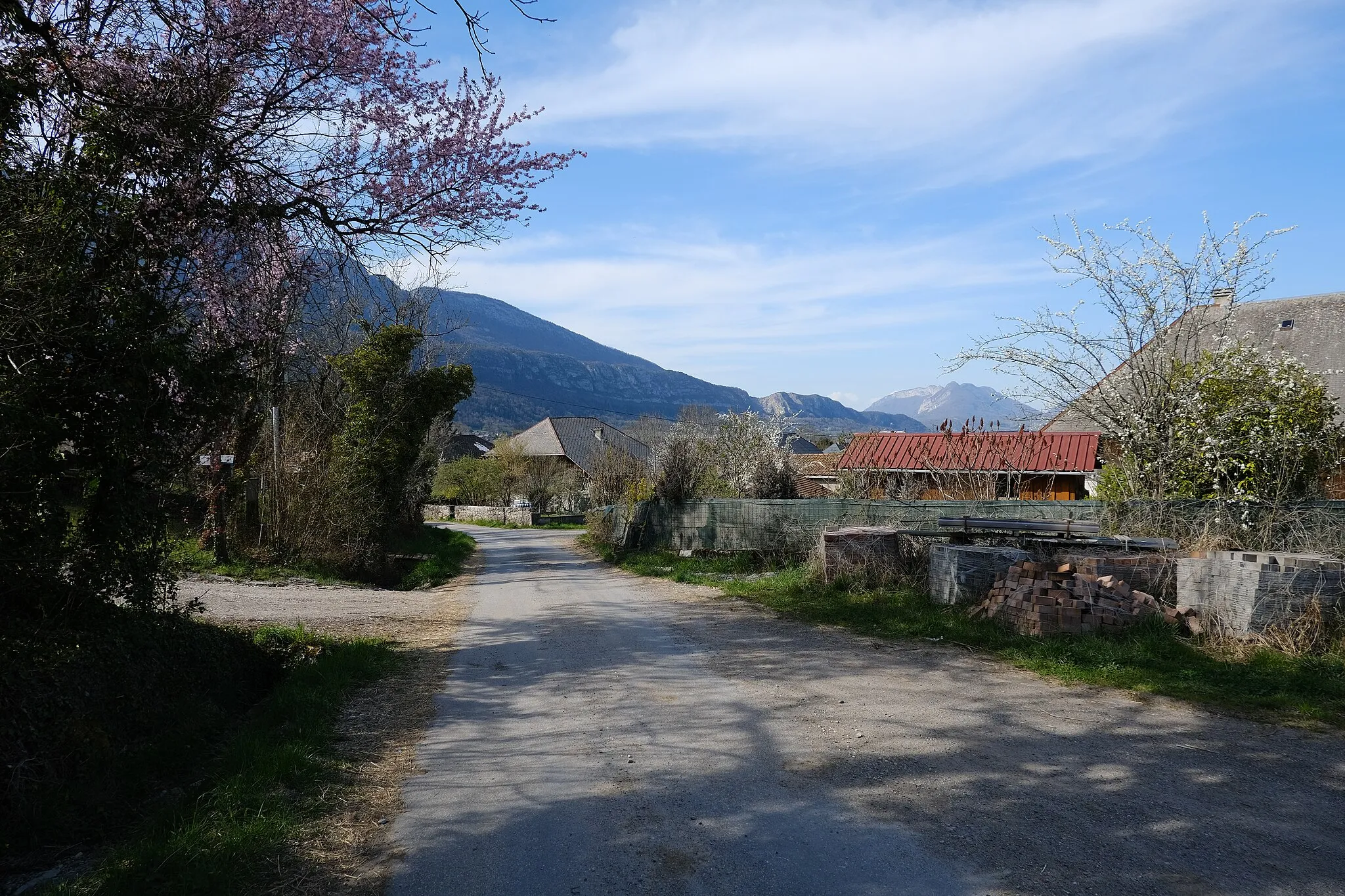
ThônesVillageThônes, the starting and ending point of this route, serves as a regional hub with various outdoor activity opportunities for visitors.
48 km
48 km
Finish: Thônes Village centerThônes: Conquer the Aravis Mountains from Thônes
Cycling routes from Thones:
Scenic Road Ride via Les Villards-sur-Thônes Thônes to Tête à Turpin via Valleiry Thônes to Château de Cohendier via Bonneville Thônes to Aire de loisirs des Ecureuils via Col de Bluffy Thônes to Col des Aravis via La Giettaz-en-Aravis Scenic Road Ride to Thônes Legendary Gravel Adventure: Thônes Exploration Road Cycling Route to Dingy-Saint-Clair Thônes to Aire de loisirs des Ecureuils via Col de Bluffy and Annecy
Cycling routes nearby: