Panoramic Montluel Ride
A road cycling route starting from Tignieu
Experience stunning panoramas on this Montluel cycling route
Map
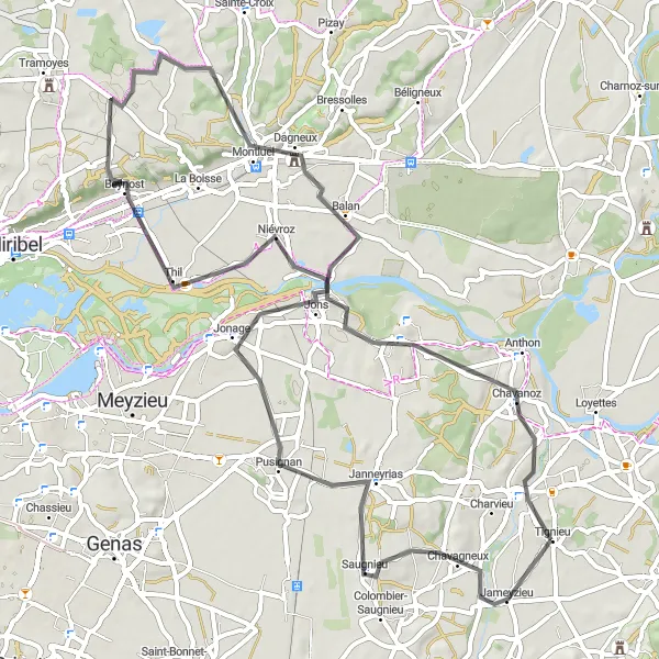
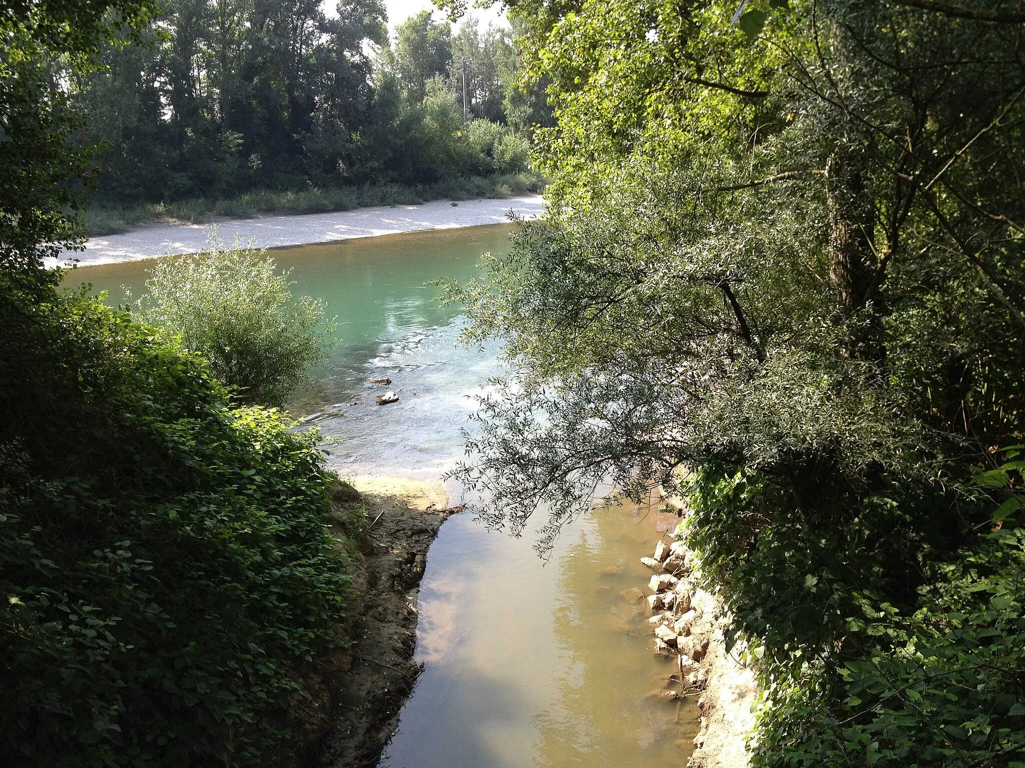
Take on the challenge of this 70 km road cycling route with an ascent of 355 meters. With its picturesque landscapes and charming towns, this route offers a captivating cycling experience. Pusignan, the starting point, is known for its beautiful scenery and cycling-friendly infrastructure. Along the way, you'll pass by Beynost, Panorama St Barthélémy, Montluel, and Pont-de-Chéruy. Each of these stops offers unique viewpoints and opportunities to soak in the natural beauty of the region.
road
70 km
355 m
Tough
Route profile
Highlights on the route
0 km
0 km
Start: Tignieu Village centerTignieu: Serene countryside routes in a peaceful environment.
Tignieu is located in the Rhône-Alpes region of France. From a cyclist's perspective, the locality offers a mix of road and gravel cycling routes through scenic countryside and charming villages. While Tignieu may not have any well-known climbs nearby, its quiet and serene environment makes it an ideal destination for leisurely rides and exploration. The region is also close to the Jura Mountains, providing additional opportunities for mountainous rides. With its combination of peaceful routes and picturesque landscapes, Tignieu offers a pleasant cycling experience for all types of cyclists.15 km
15 km
PusignanVillageStart your journey in the scenic town of Pusignan
35 km
35 km
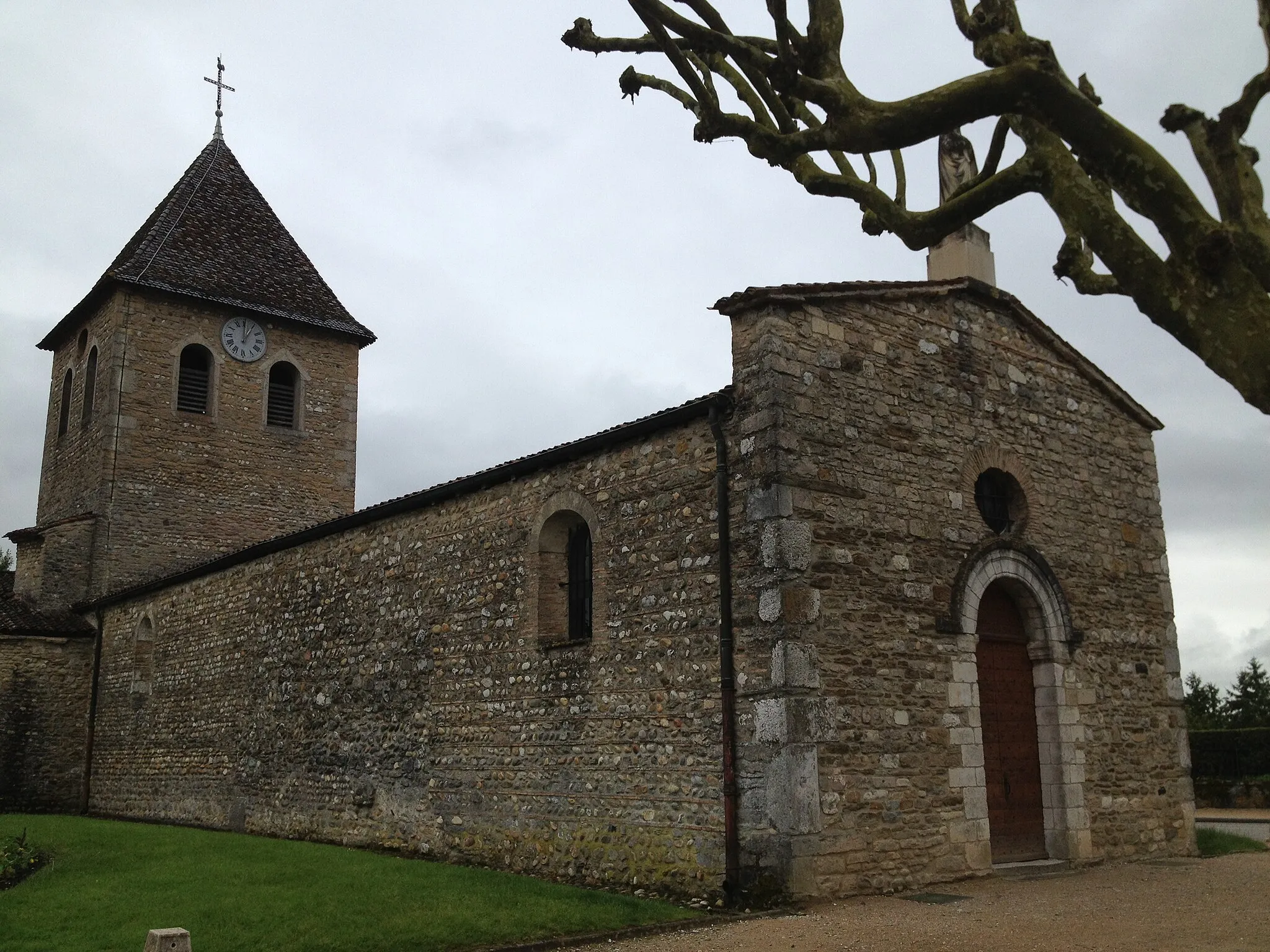
BeynostVillageExplore the charming village of Beynost
48 km
48 km
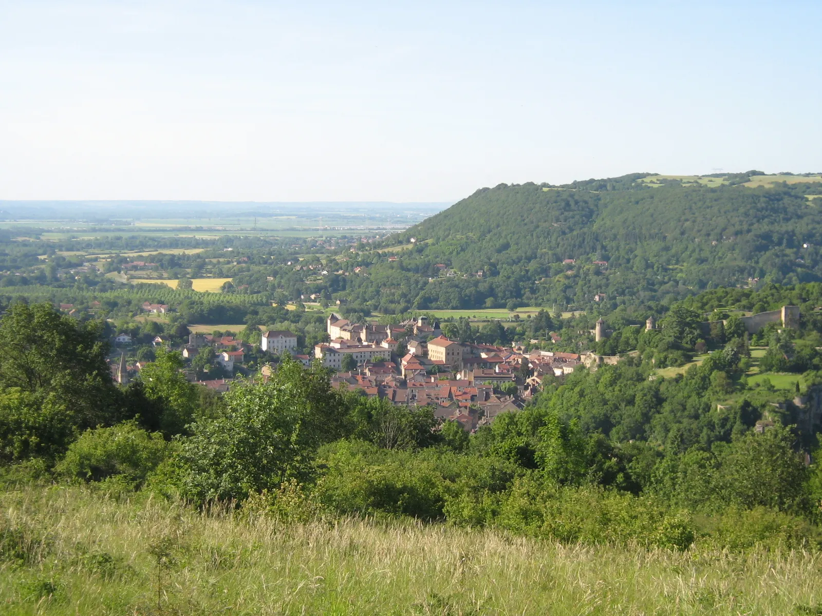
Panorama St BarthélémyViewpointEnjoy panoramic views from Panorama St Barthélémy
49 km
49 km
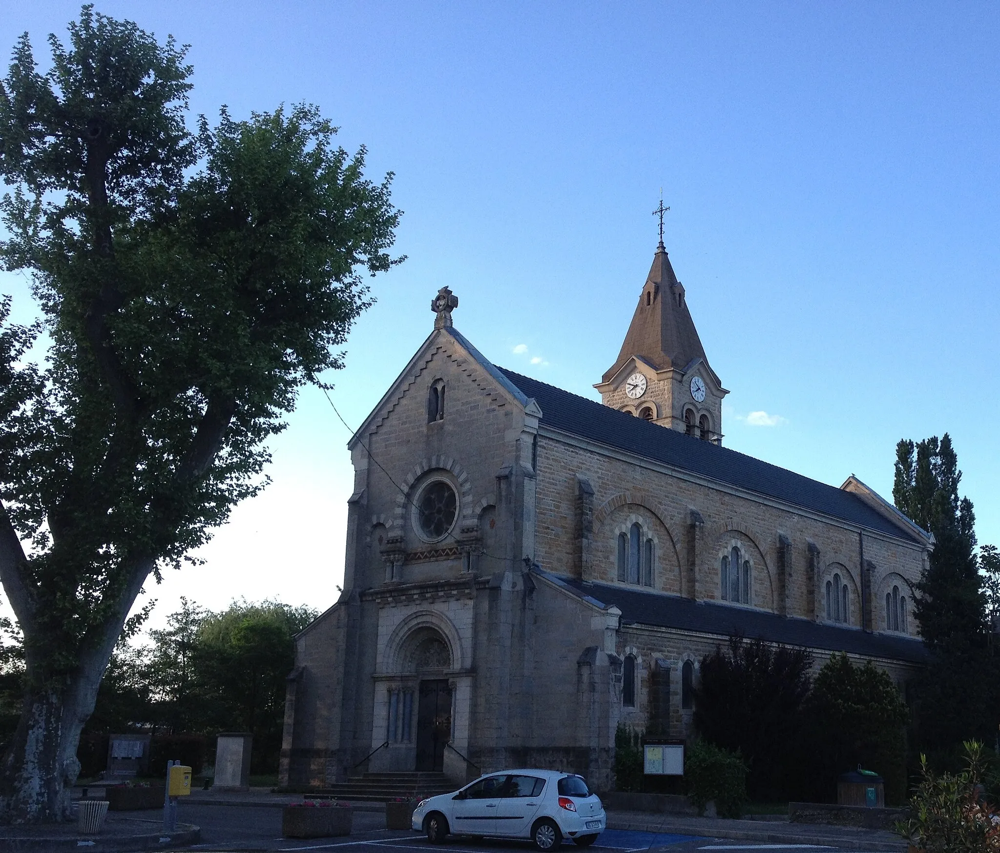
MontluelVillageDiscover the historic town of Montluel
68 km
68 km
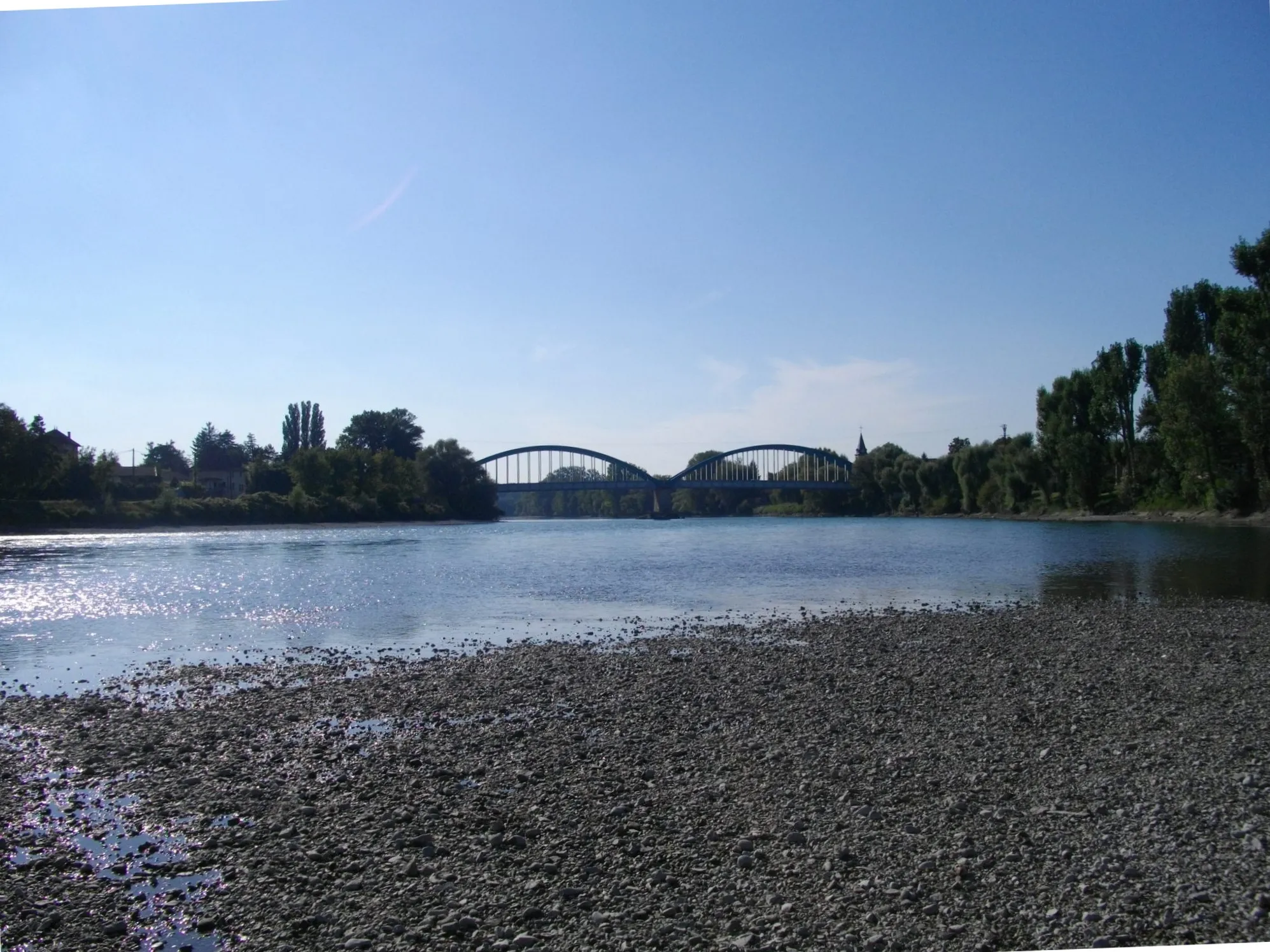
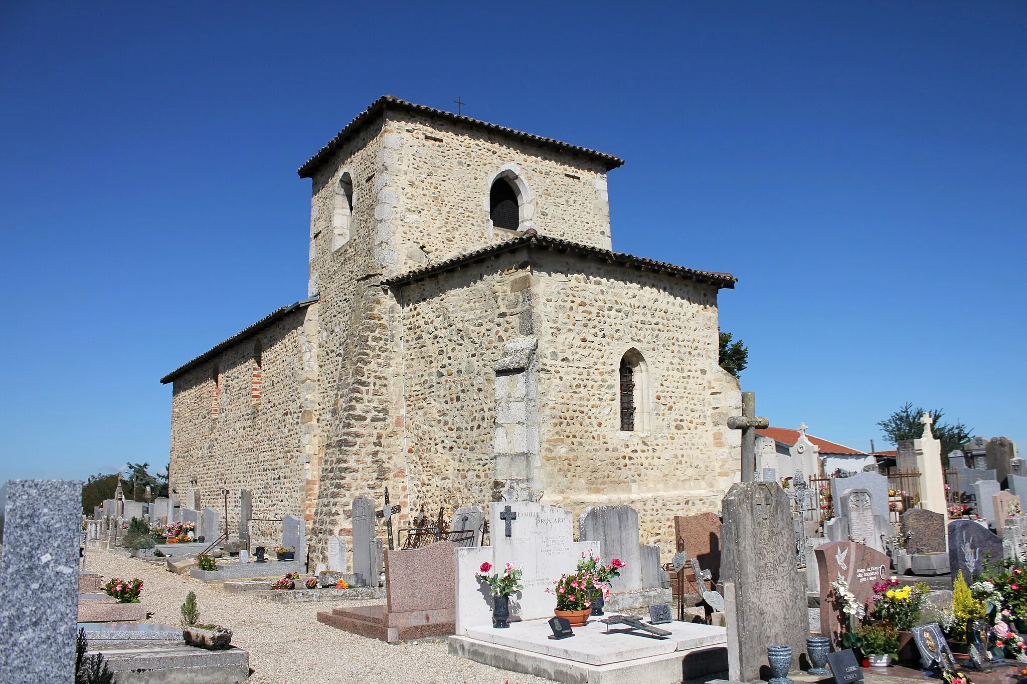
Pont-de-ChéruyVillageCross the picturesque Pont-de-Chéruy
70 km
70 km
Finish: Tignieu Village centerTignieu: Serene countryside routes in a peaceful environment.
Cycling routes from Tignieu:
Saint-Romain-de-Jalionas Loop Loyettes Gravel Adventure Hières-sur-Amby Discovery The La Jetée Loop The Saugnieu Gravel Loop The Bugey Border Challenge Grenay Gravel Loop The Tour de la Plaine des Chèvres Panoramic Montluel Ride The Circuit des Collines The Leyrieu Loop The Dolomieu Discovery The Meximieux Adventurer
Cycling routes nearby: