Terrific Ride to L'Étrat and Beyond
A road cycling route starting from Villars
A challenging road cycling route with stunning views
Map
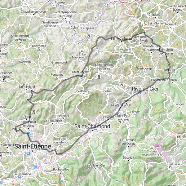
Get ready for a thrilling cycling adventure through the Rhône-Alpes region of France. This road route near Villars offers a fantastic challenge with a total ascent of 1,120 meters over a distance of 81 kilometers. Don't miss the opportunity to explore the highlights along this route, including L'Étrat, Mont Morin, Riverie, and more. With a difficulty rating of 4, this route is suitable for well-trained amateurs seeking a challenging ride. Rated as a 4 in epicness, this route promises extraordinary views and memorable cycling experience. Embark on this route and enjoy the breathtaking scenery that Rhône-Alpes has to offer.
road
81 km
1120 m
Tough
Route profile
Highlights on the route
0 km
0 km
Start: Villars Village centerVillars: Cycling paradise in Rhône-Alpes with famous climb
Villars, situated in Rhône-Alpes, France, is a fantastic destination for road and gravel cycling. The locality offers a variety of cycling routes, including scenic countryside roads and challenging climbs. One of the highlights for cyclists in Villars is the Montagne de Champier, a well-known climb that attracts cycling enthusiasts from all over. With its diverse terrain and breathtaking views, Villars is a top choice for cyclists looking for adventure.3 km
3 km
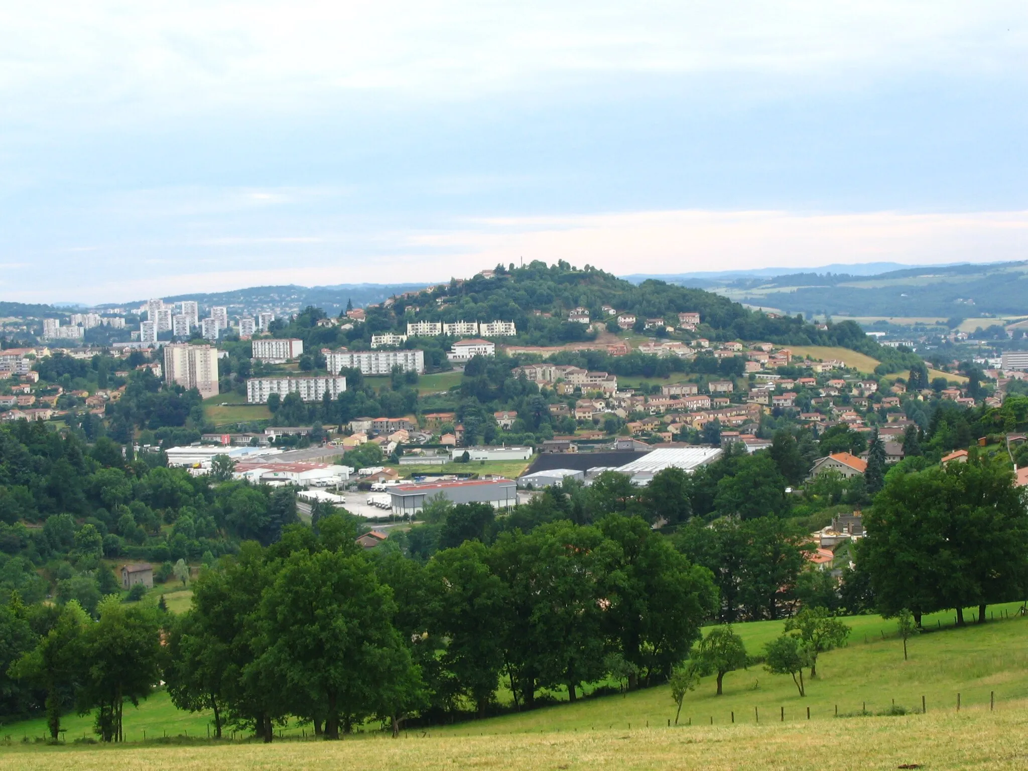
L'ÉtratVillageLocated along the route, L'Étrat offers charming streets and picturesque views.
13 km
13 km
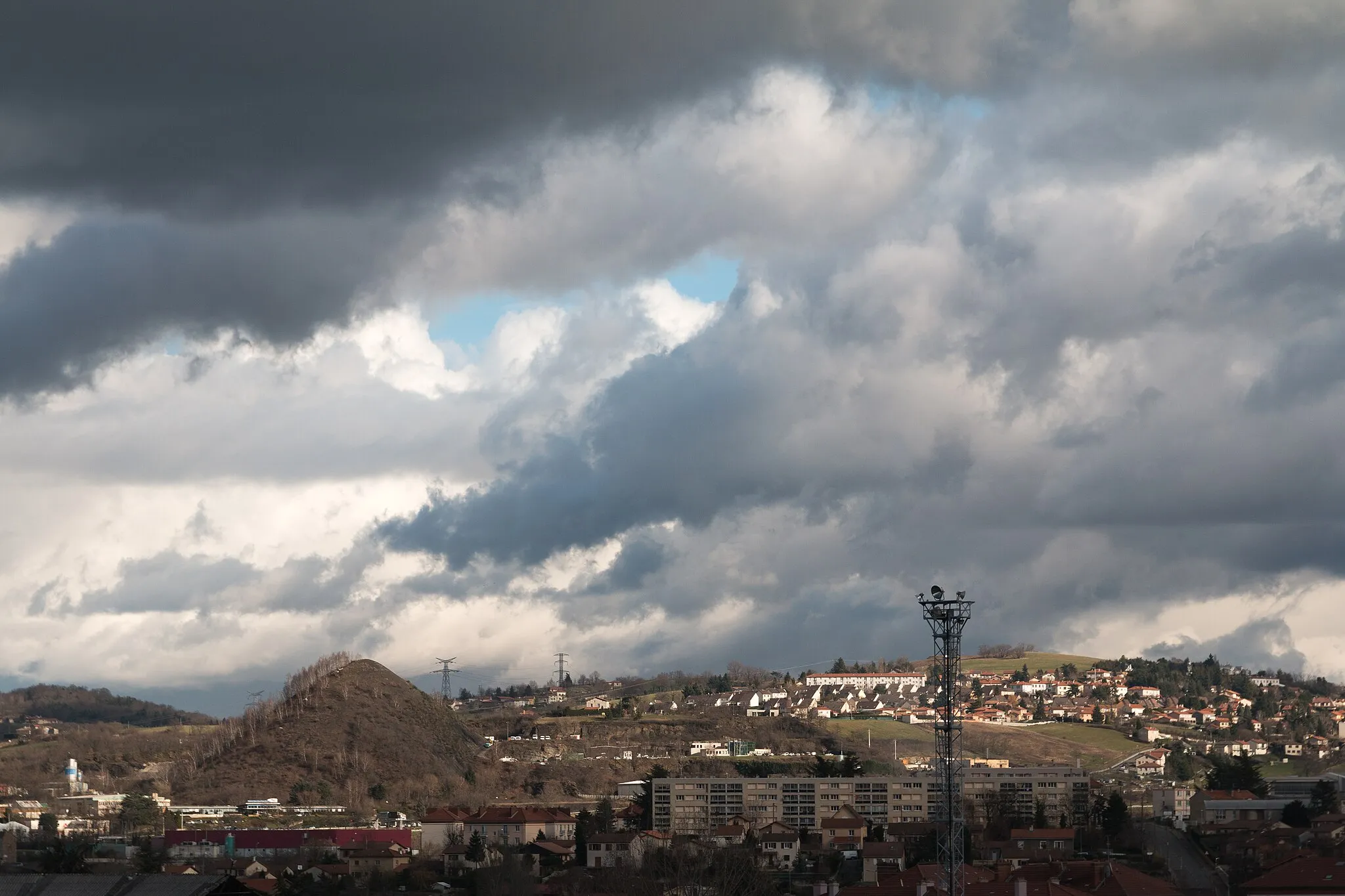
Mont Morin821 mPeakClimb up Mont Morin and take in the breathtaking panoramic views from the summit.
33 km
33 km
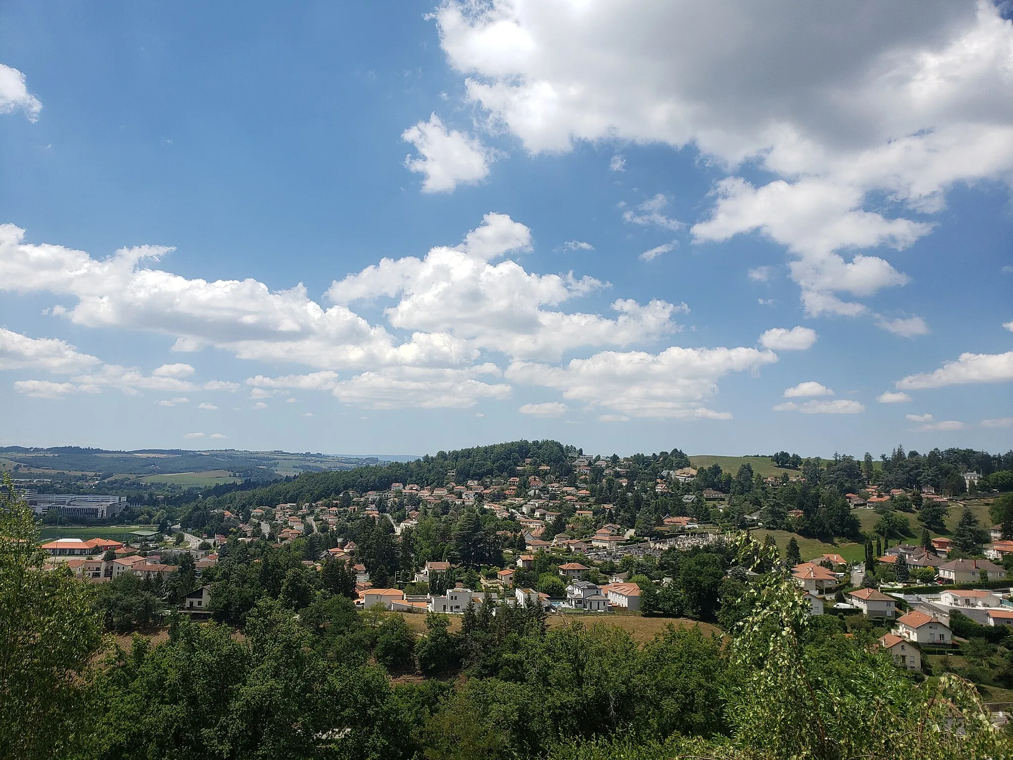
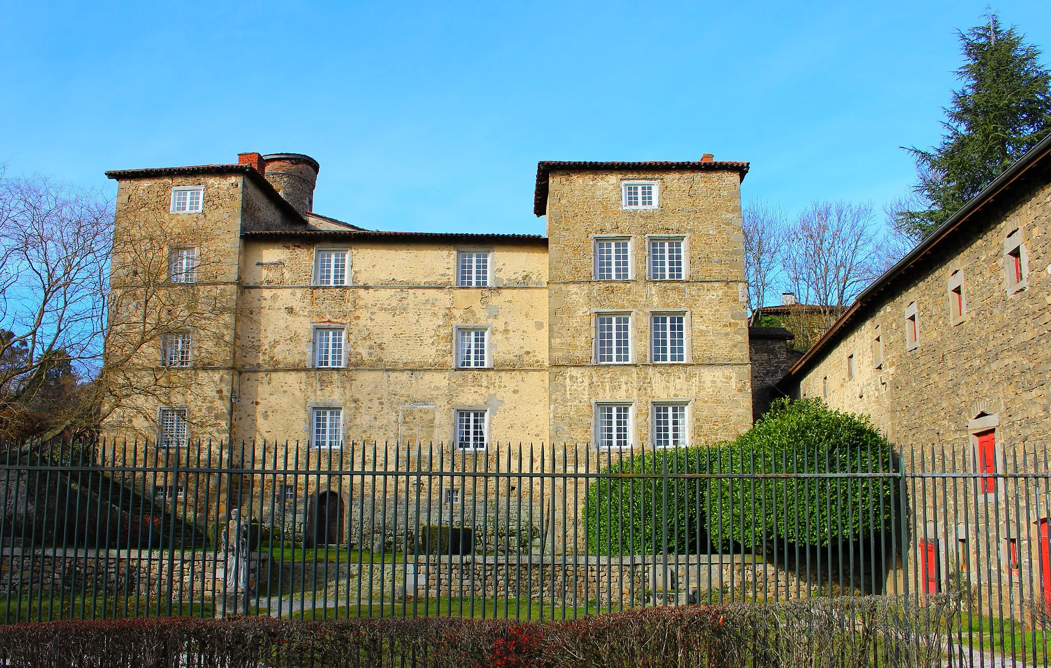
RiverieVillageVisit Riverie, a medieval village with historical charm nestled in the hills.
33 km
33 km
Table d'orientationViewpointTable d'orientation provides a perfect spot to rest and admire the surrounding landscape.
57 km
57 km
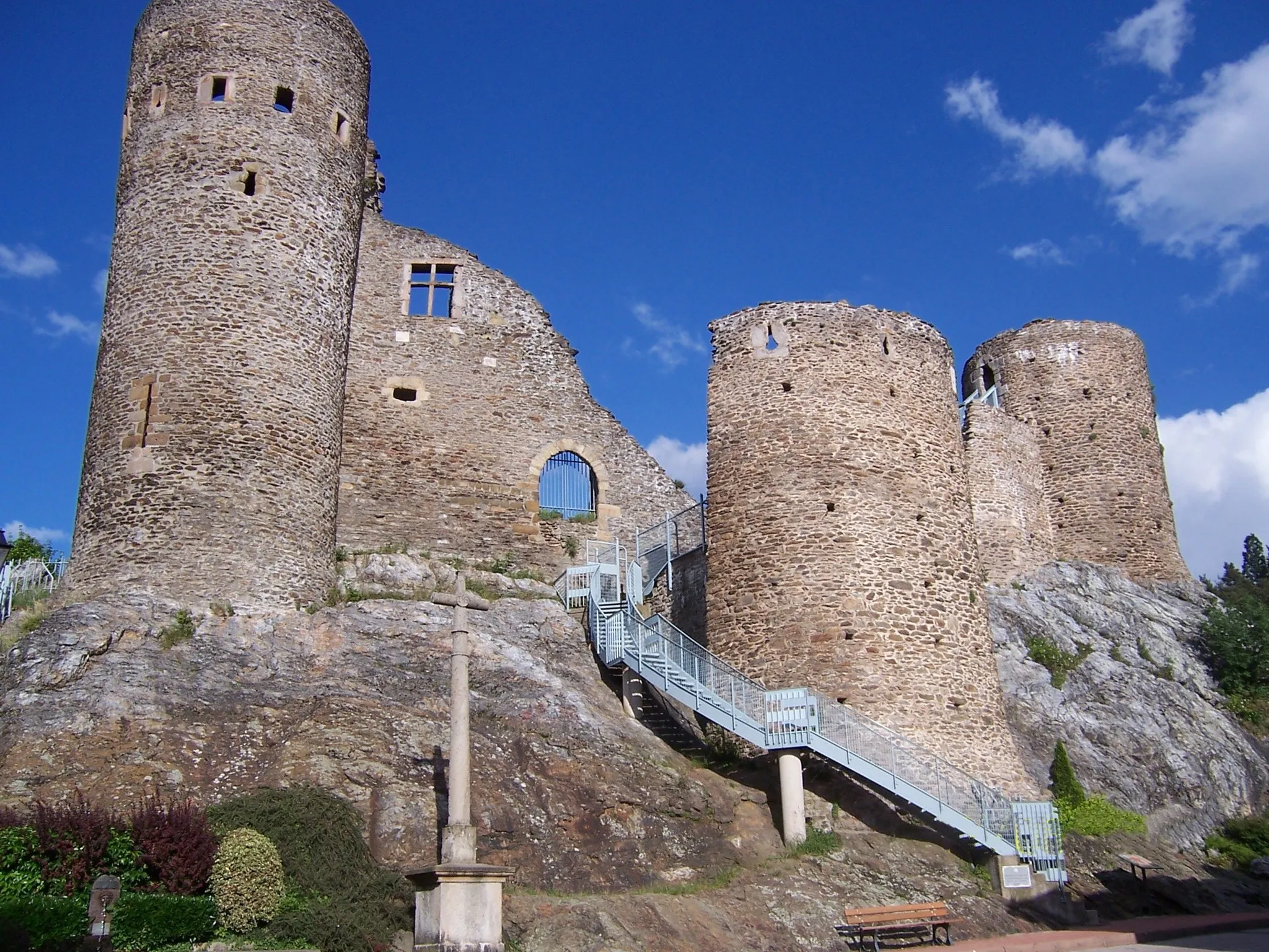
LoretteVillageExplore Lorette, an impressive fortress that offers captivating historical insights.
64 km
64 km
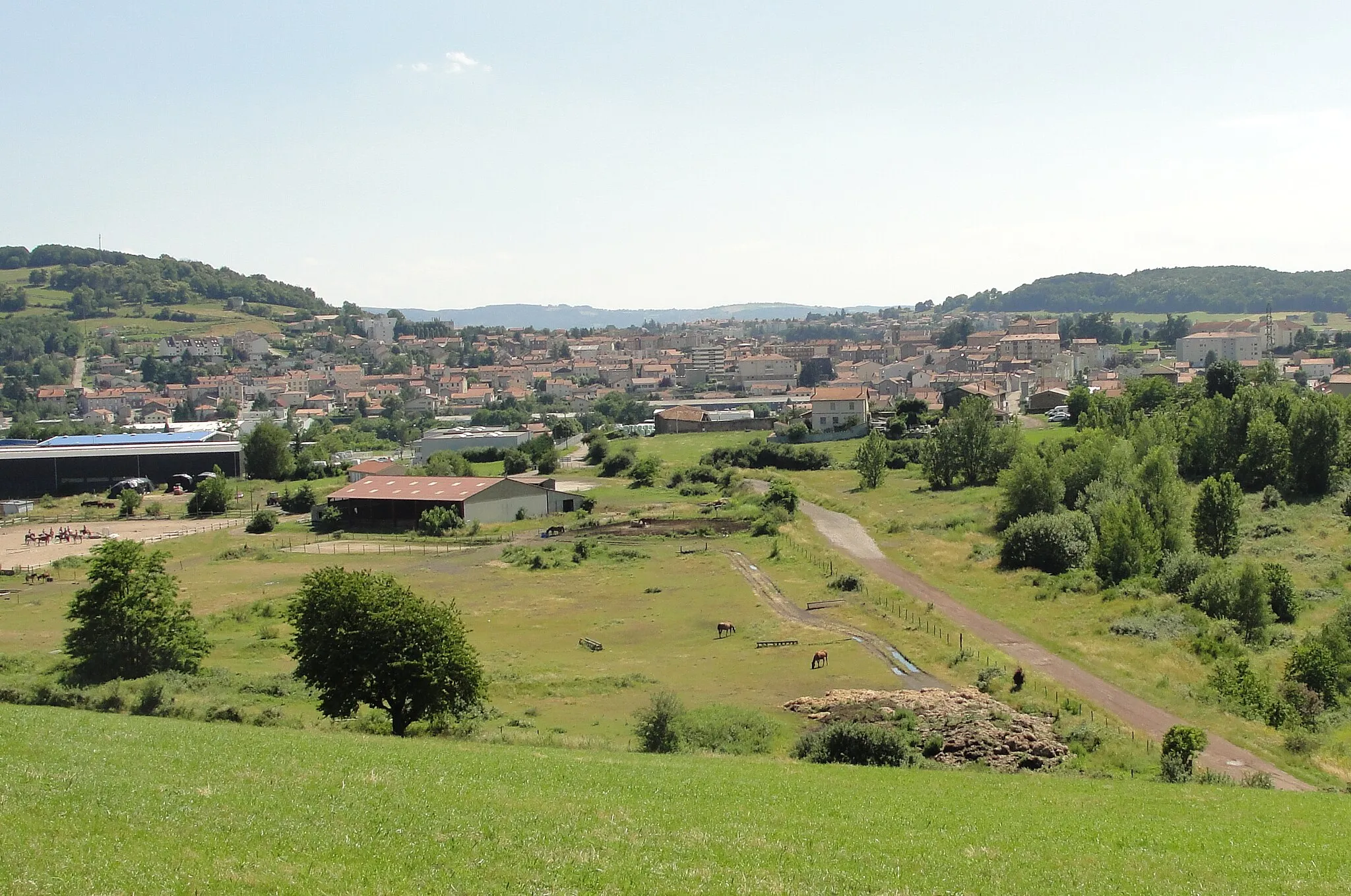
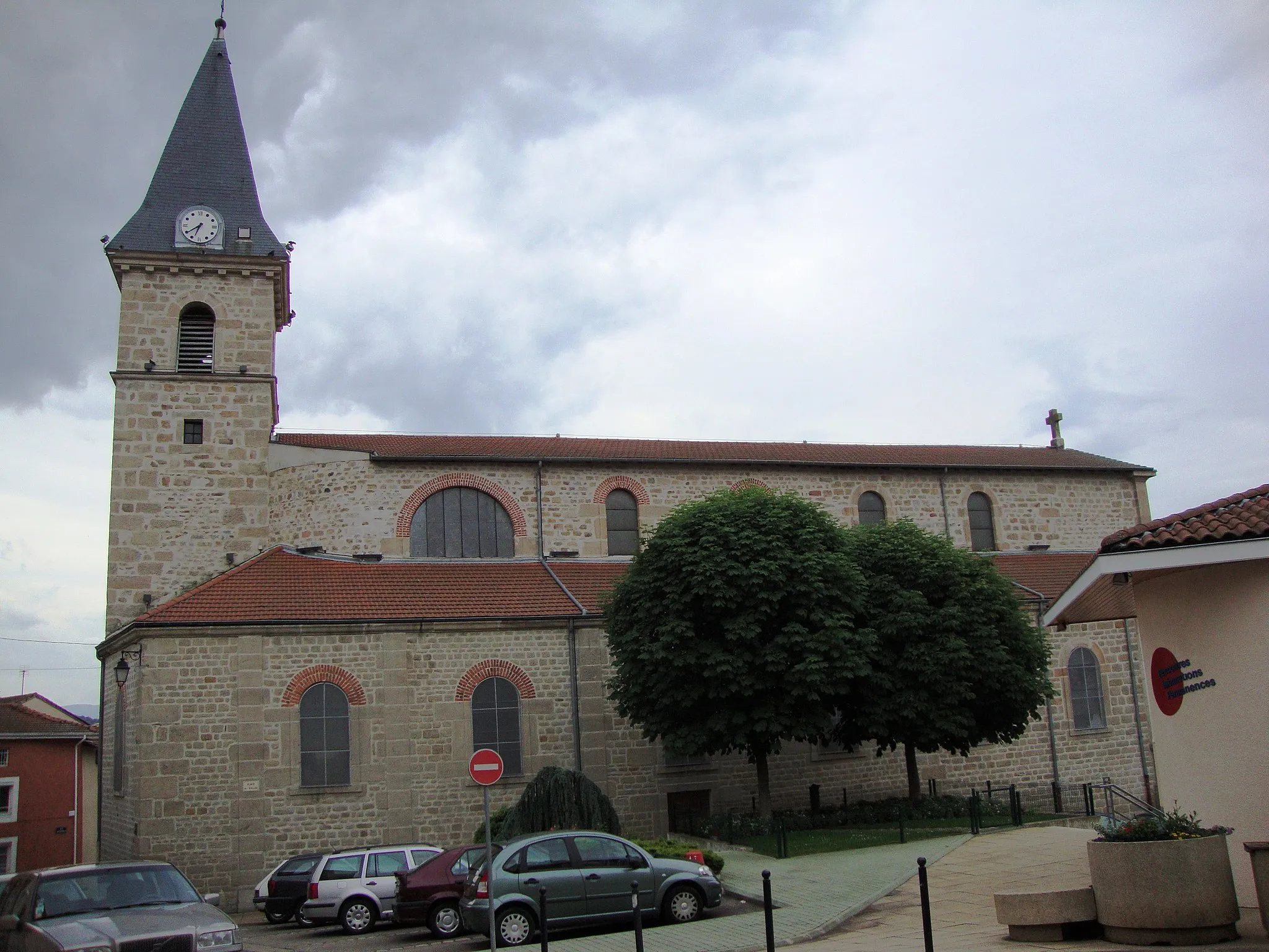
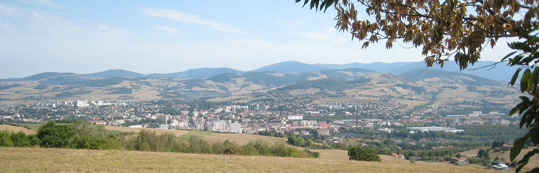
Saint-ChamondTownMake a stop in Saint-Chamond and immerse yourself in the local culture and gastronomy.
77 km
77 km
Tour observatoireViewpointDon't miss the opportunity to visit Tour observatoire and enjoy breathtaking views from the top.
81 km
81 km
Finish: Villars Village centerVillars: Cycling paradise in Rhône-Alpes with famous climb
Cycling routes from Villars:
Villars to L'Étrat Loop Picturesque Ride with Scenic Landscapes Gravel Route with Stunning Views Challenging Road Cycling Route Gravel Adventure with Historical Charm Challenge Yourself on the Ultimate Road Cycling Adventure Scenic Road Ride with Historical Highlights Terrific Ride to L'Étrat and Beyond Thrilling Gravel Cycling Adventure Scenic Gravel Route Along the Loire River Exploring Villars and Surrounding Beauty Villars Loop Ultimate Gravel Adventure from Villars
Cycling routes nearby: