Scenic Road Cycling Route through Spandau and Schwante
A road cycling route starting from Alt-Hohenschoenhausen
Embark on a scenic road cycling adventure near Alt-Hohenschönhausen
Map
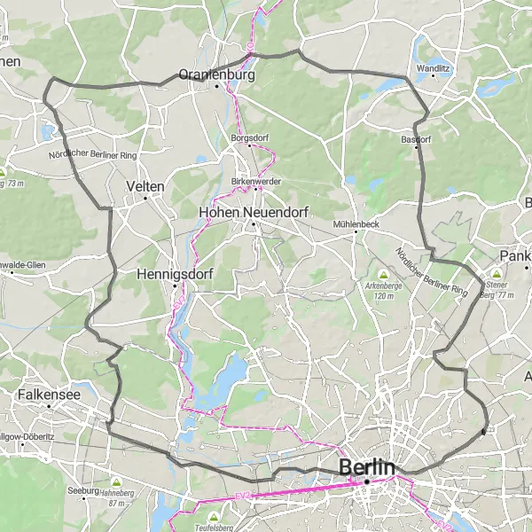
This road cycling route offers cyclists a beautiful journey through the outskirts of Alt-Hohenschönhausen. Covering a total distance of 111 km and with 282 meters of ascent, riders will traverse charming villages, rolling hills, and picturesque landscapes. The route provides a mix of flat sections and challenging climbs, catering to intermediate and advanced cyclists.
road
111 km
282 m
Tough
Route profile
Highlights on the route
0 km
0 km
Start: Locality centerAlt-Hohenschönhausen: Urban cycling in Alt-Hohenschönhausen: Navigate the streets of Berlin by bike.
Alt-Hohenschönhausen is a locality in Berlin, Germany. Being a bustling city, Alt-Hohenschönhausen offers a mix of cycling opportunities depending on your preference. There are designated bike lanes and cycling paths throughout the city, making road cycling convenient and accessible. However, as a road cyclist, you might have to deal with heavy traffic at times. In terms of tourist attractions for cyclists, Alt-Hohenschönhausen is not particularly known for famous cycling spots or legendary climbs. Nevertheless, if you enjoy urban cycling and exploring a vibrant city on your bike, Alt-Hohenschönhausen can be an interesting destination.5 km
5 km
Großer Bunkerberg78 mPeakAt 5 km from the start, cyclists can visit the Großer Bunkerberg, a historical site with remnants of World War II bunkers and impressive views.
9 km
9 km
Weiße MaulbeereAttractionAfter 9 km, riders will pass by the Weiße Maulbeere, an old and magnificent mulberry tree that is a symbol of nature's resilience.
23 km
23 km
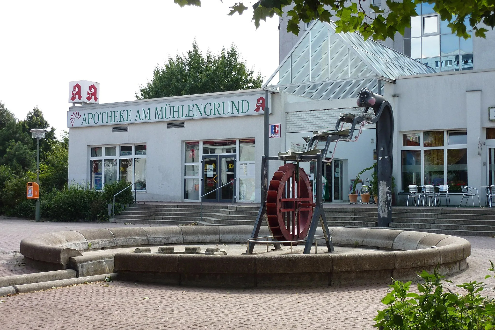
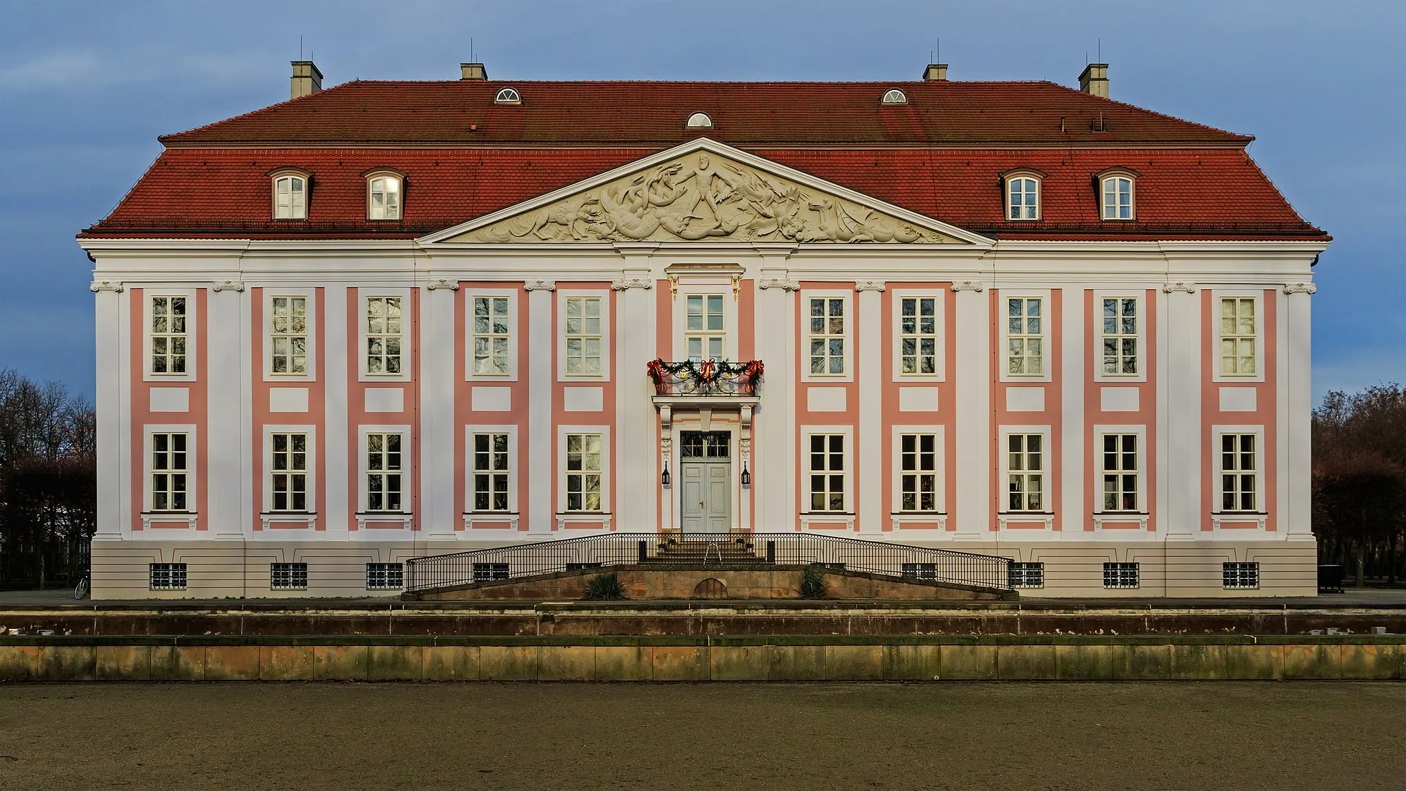
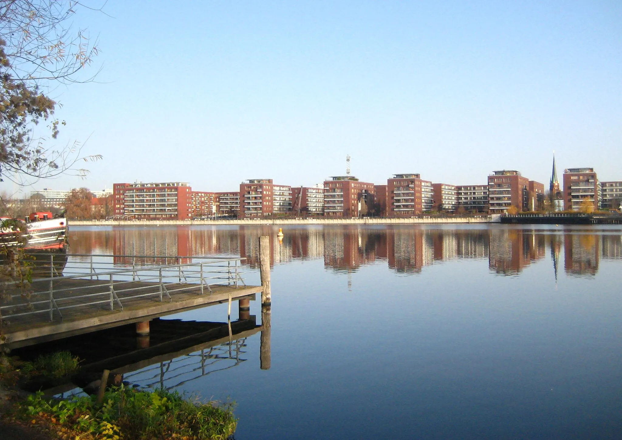
SpandauSub-urbAt 23 km, cyclists will reach Spandau, a charming neighborhood known for its medieval fortress, scenic riverside promenade, and quaint alleys.
45 km
45 km
Mathiasberg50 mPeakAt the 45 km mark, riders can enjoy a challenging climb up Mathiasberg, offering breathtaking panoramic views of the Berlin skyline.
45 km
45 km
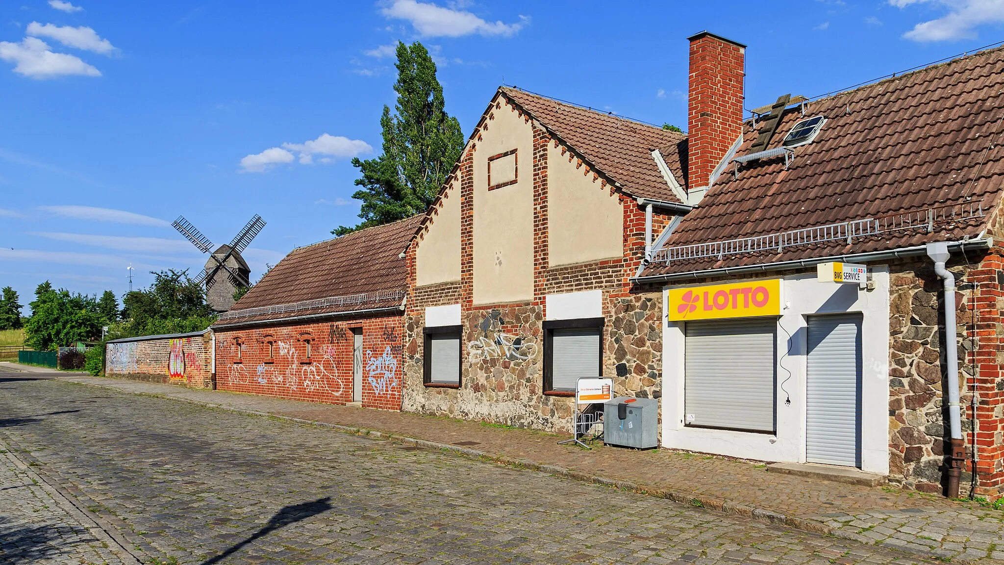
MarwitzSub-urbAfter 45 km, cyclists will pedal through Marwitz, a picturesque village with traditional thatched-roof houses and well-maintained gardens.
54 km
54 km
SchwanteSub-urbSchwante, located at the 54 km mark, is a charming village with beautiful historic buildings and well-preserved natural surroundings.
60 km
60 km
Vulkan50 mPeak ViewpointAt 60 km, riders will pass by Vulkan, an iconic viewpoint offering magnificent vistas of the surrounding area.
69 km
69 km
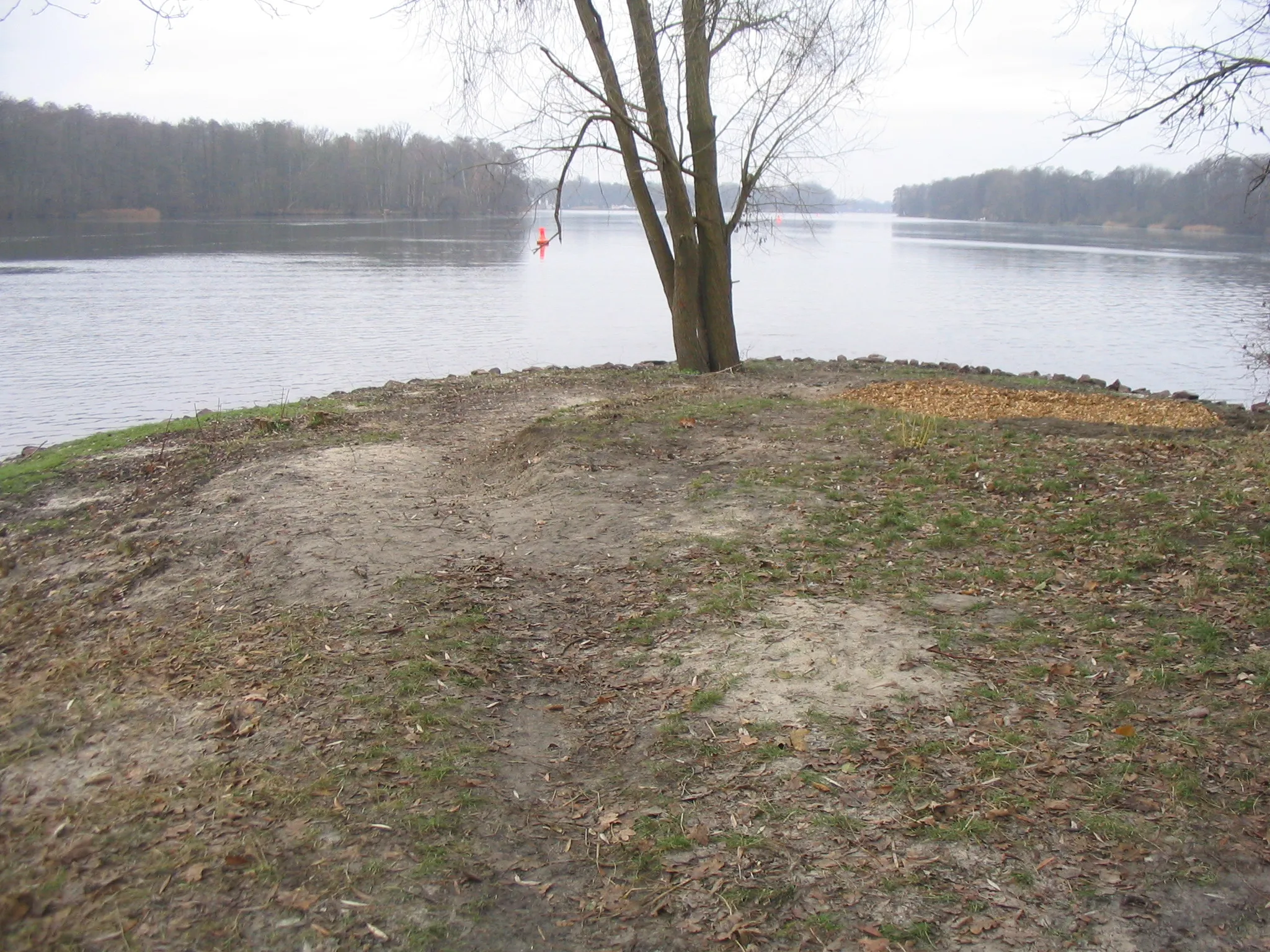
SchleusenblickViewpointCyclists can enjoy a perfect view of the waterway at Schleusenblick, located at the 69 km mark.
77 km
77 km
WensickendorfVillageAt 77 km, Wensickendorf offers cyclists peaceful rural landscapes and a chance to immerse themselves in nature's tranquility.
93 km
93 km
SchönerlindeVillageAfter 93 km, riders will pass through Schönerlinde, a picturesque village surrounded by forests and dotted with small lakes.
101 km
101 km
Teichberg62 mPeakAt 101 km, cyclists can enjoy a refreshing break at Teichberg, a beautiful spot overlooking a scenic pond.
110 km
110 km
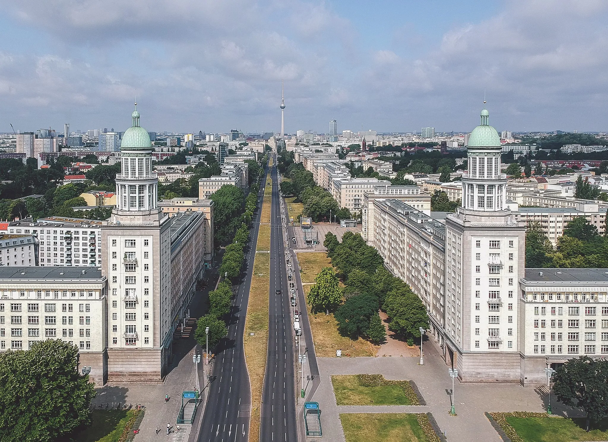
Alt-HohenschönhausenSub-urbThe tour concludes at Alt-Hohenschönhausen, where cyclists can explore the neighborhood's rich history, including the Stasi Museum and the Sowjetisches Ehrenmal.
111 km
111 km
Finish: Locality centerAlt-Hohenschönhausen: Urban cycling in Alt-Hohenschönhausen: Navigate the streets of Berlin by bike.
Cycling routes from Alt-Hohenschoenhausen:
Road Cycling in the Surrounding Villages Scenic Road Cycling Route through Spandau and Schwante Berlin Ride Gravel Tour to Fichtenberg and Bethanien-Kirche Berlin Hill Challenge Gravel Adventure Gärten und Wälder von Friedrichsfelde Gravel Adventure: Alt-Hohenschönhausen Gravel Tour to Britzer Mühle and Alt-Hohenschönhausen Gravel Tour through Ahrensfelde and Münchehofe
Cycling routes nearby: