Cycle through Berlin's Lichtenberg District
Cycling routes from Lichtenberg
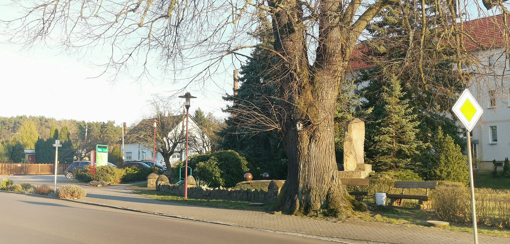
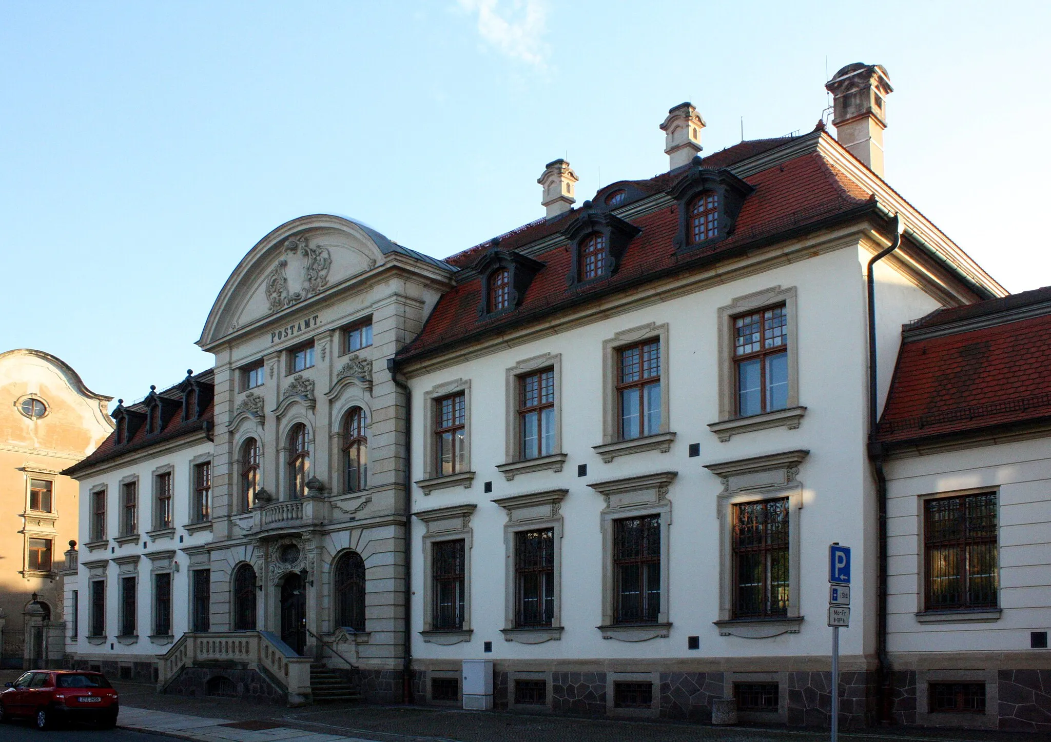
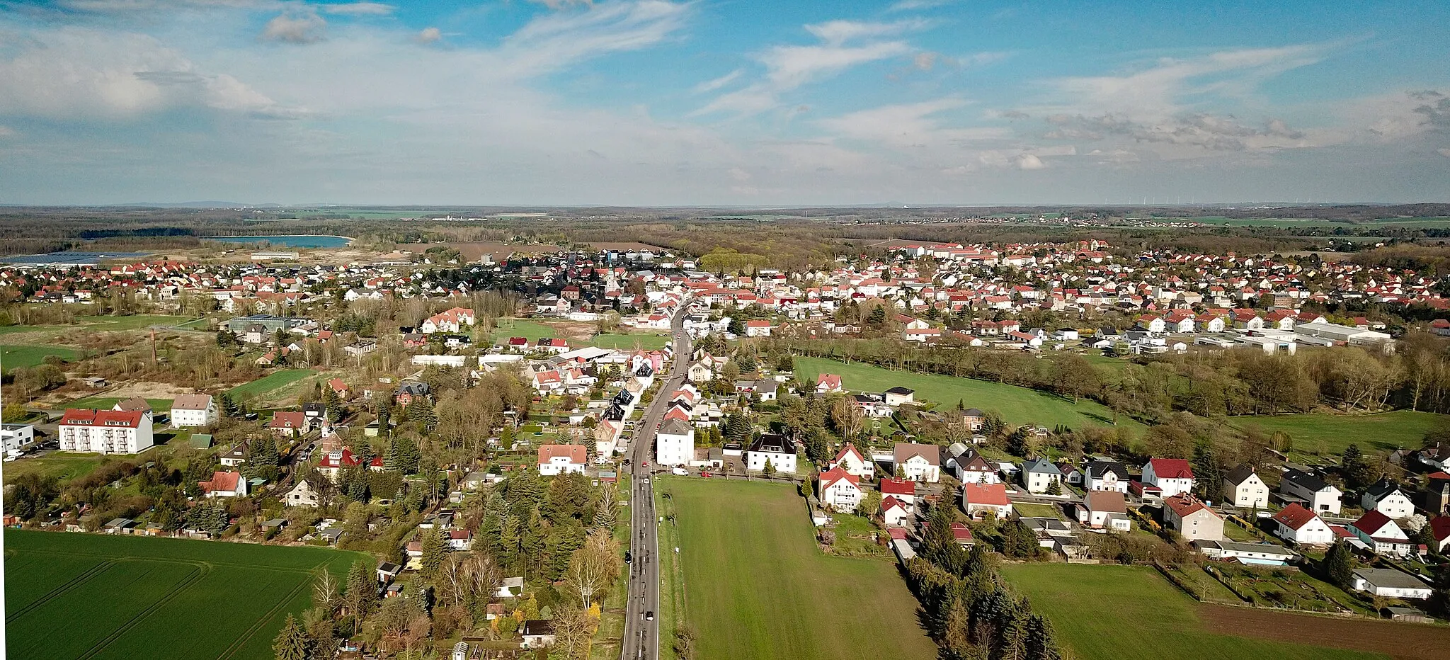
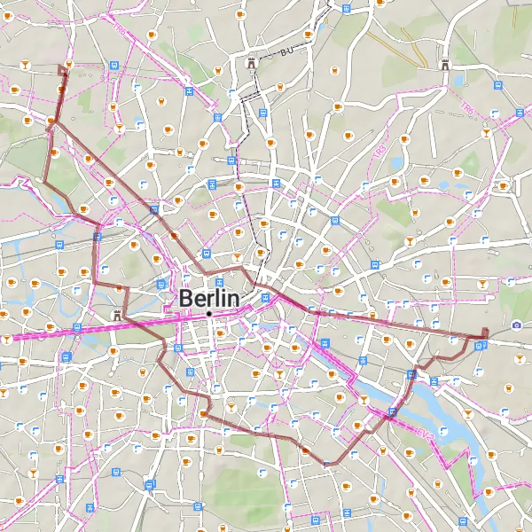
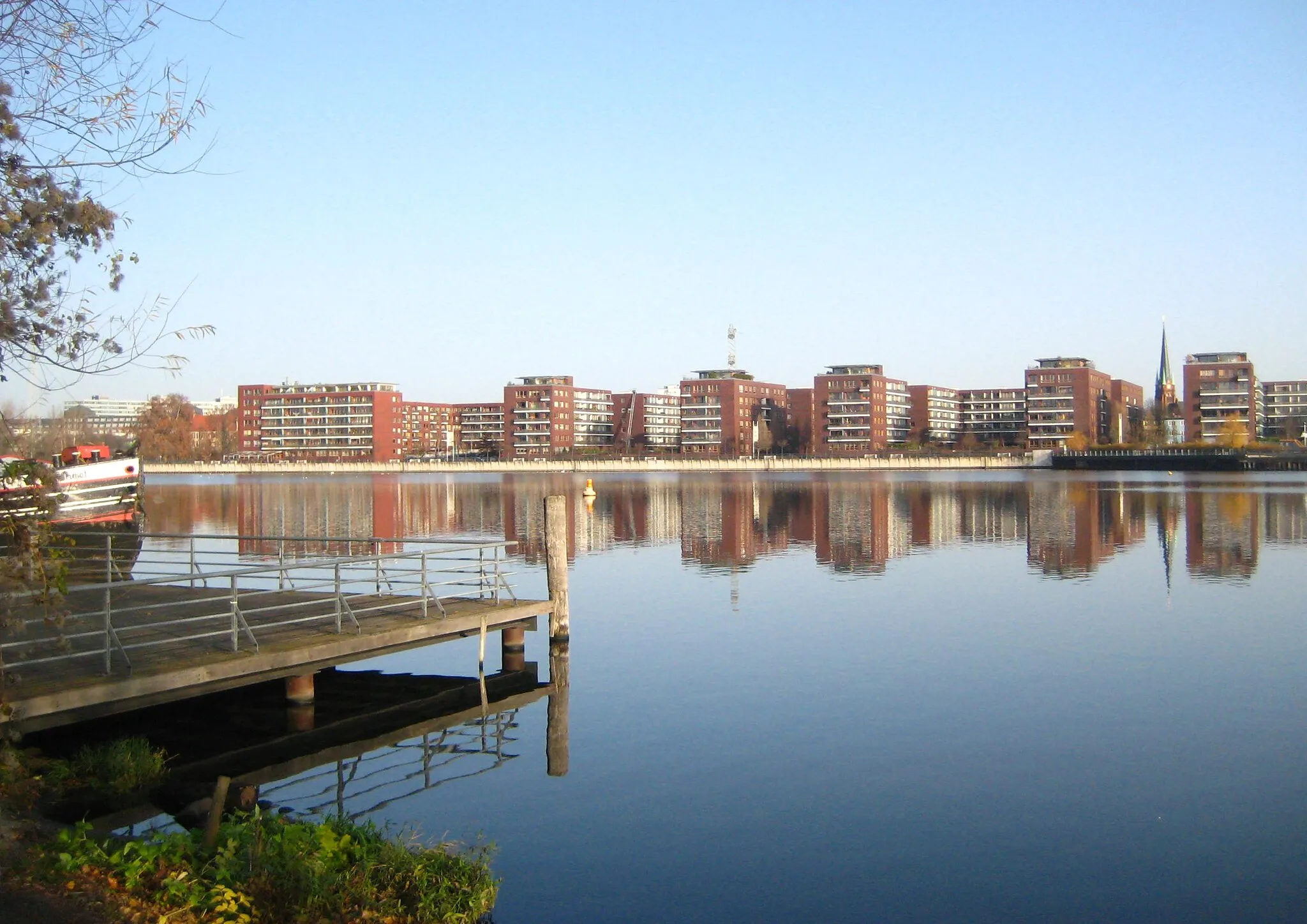
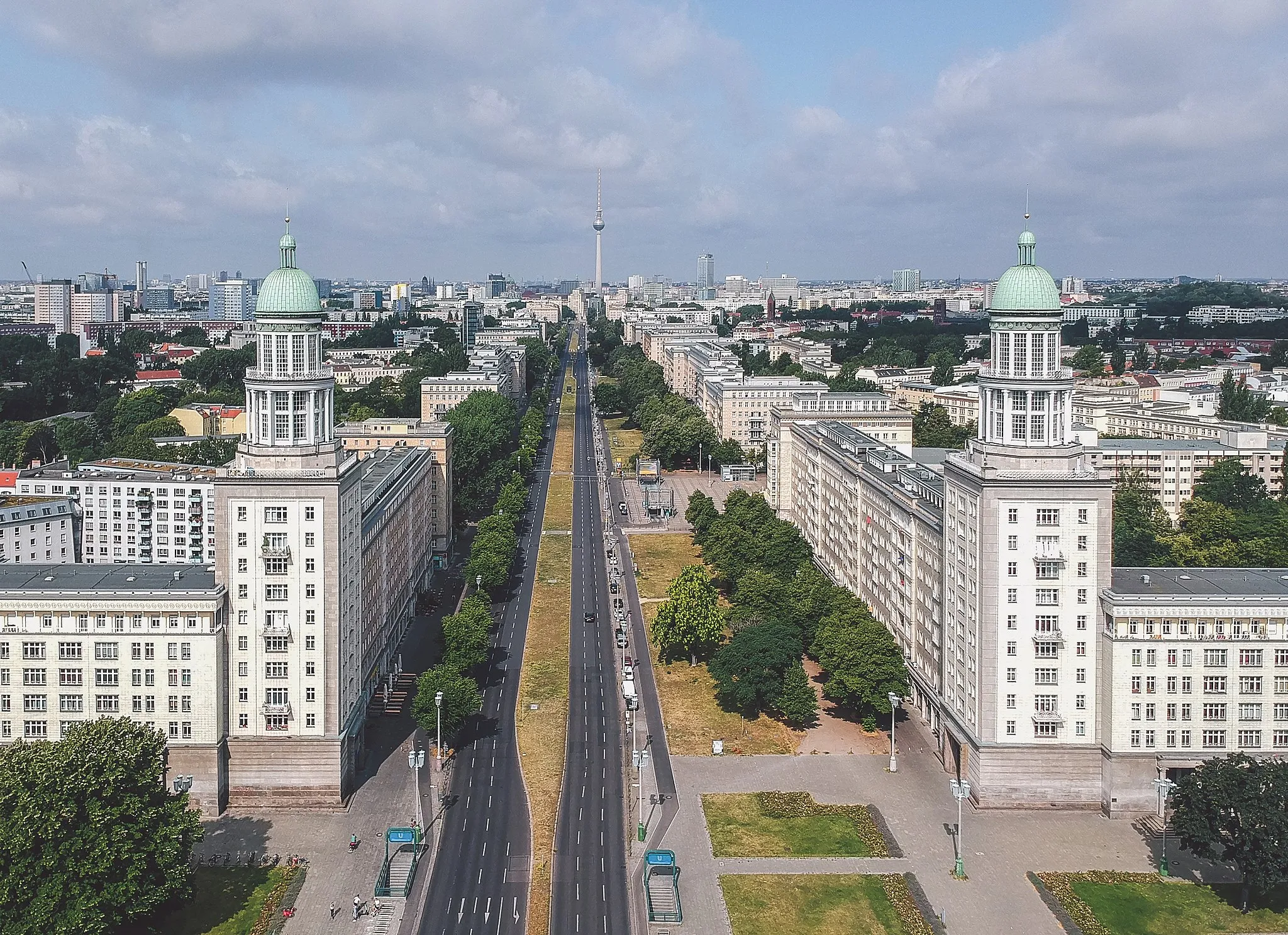
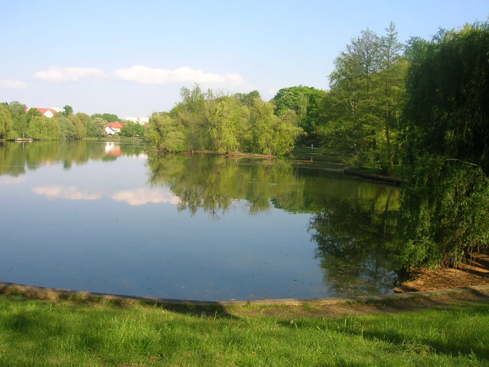
Lichtenberg, located in the city of Berlin, Germany, offers a cyclist-friendly locality with access to various cycling routes. The area features a mixture of urban and suburban landscapes, with quiet roads and bike paths available for cyclists to explore. Lichtenberg is well-connected to other parts of Berlin, allowing riders to easily access popular cycling spots and attractions. Müggelsee, a large lake located nearby, offers beautiful scenery and additional recreational activities. With its convenient location and cycling infrastructure, Lichtenberg is a suitable base for cyclists wishing to explore Berlin and its surroundings.
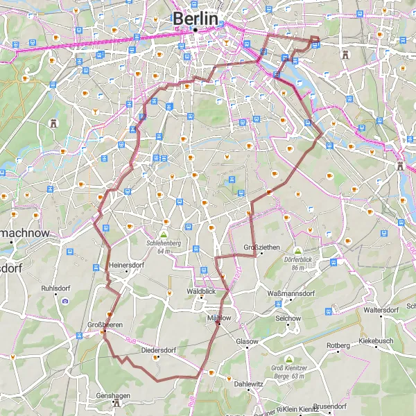
Gravel route from Lichtenberg
Explore unique highlights and natural landscapes
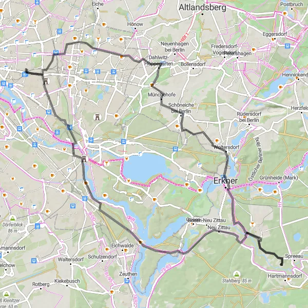
This gravel route starting near Lichtenberg offers a thrilling adventure for cyclists. With a distance of 40 km and an ascent of 212 meters, the overall experience is suitable for experienced amateurs. The route takes you through scenic landscapes and provides the opportunity to visit several distinctive highlights along the way.
Embark on an extraordinary road adventure starting from Lichtenberg.
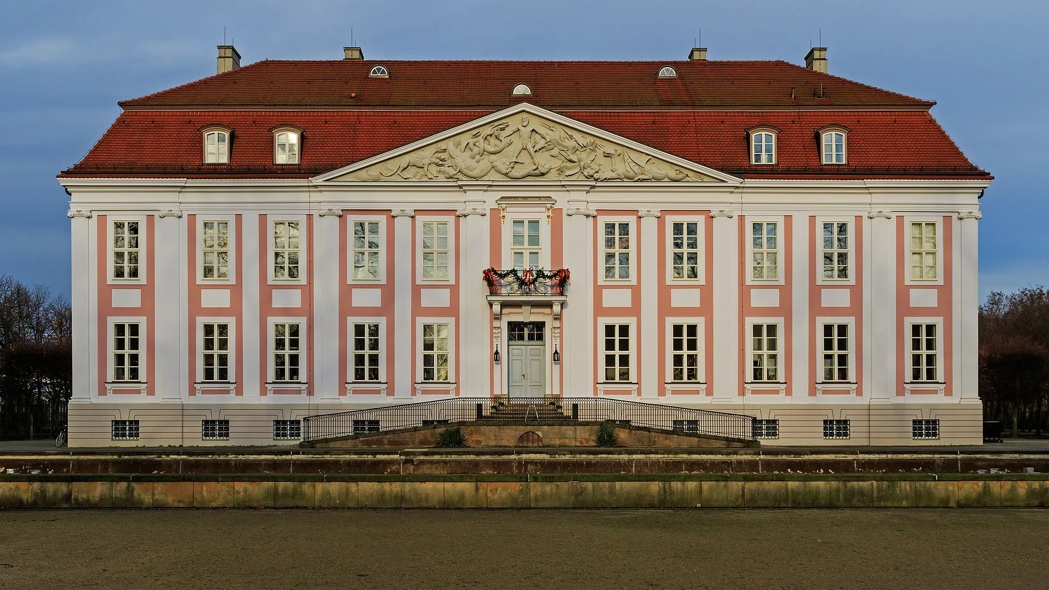
If you're up for a challenging and epic road adventure, this 79-kilometer route starting from Lichtenberg is perfect for you. Ascents of 214 meters await, along with breathtaking views and remarkable highlights. Highlights on this route include Wolkenhain, Dahlwitz-Hoppegarten, Freienbrink, Burig, Paschenberg, Aussichtspunkt Bunkerberg, and Friedrichsfelde. Prepare yourself for an unforgettable journey through diverse landscapes and vibrant neighborhoods.
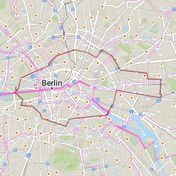
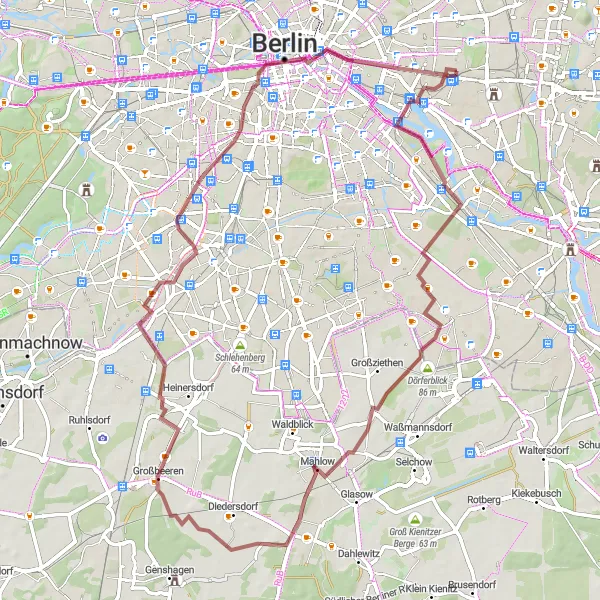
Discover the hidden gems and historic landmarks on this scenic gravel cycling route starting from Lichtenberg.
Embark on a 28-kilometer gravel adventure through the beautiful countryside surrounding Lichtenberg. This off-road route takes you through picturesque landscapes, quaint villages, and historical landmarks to offer a unique and unforgettable cycling experience. Feel the thrill of conquering challenging ascents and be rewarded with breathtaking views along the way.
Discover historic landmarks and picturesque landscapes
This road route starting near Lichtenberg is ideal for cycling enthusiasts interested in exploring historic landmarks and enjoying scenic landscapes. With a total distance of 91 km and an ascent of 224 meters, this route offers a mix of cultural and natural attractions.
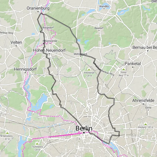
Lichtenberg Gravel Loop
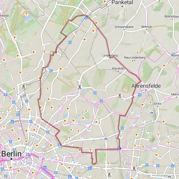
Explore the hilly landscapes near Lichtenberg on this unique gravel loop.
This round-trip cycling route starts near Lichtenberg and takes you through hilly landscapes, offering stunning views along the way. The ride is suitable for gravel bikes and covers a distance of 42 kilometers with 128 meters of ascent. It is rated as a moderately difficult route, perfect for experienced cyclists. The route includes several highlights, such as the Hohes Plateau, Bethanien-Kirche, Moorlinse Buch, Lindenberg, and the Memorial to the Socialists.
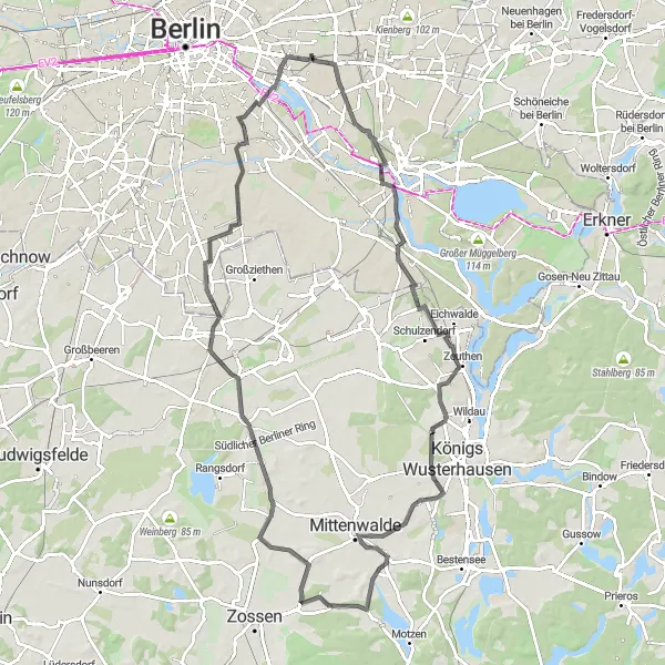
Embark on an adventurous road cycling journey from Lichtenberg.
This road cycling route originating near Lichtenberg promises an exciting adventure. The 90-kilometer ride involves an ascent of 186 meters and offers breathtaking views throughout the journey. The route is suitable for road bikes and is moderately difficult, providing a challenge for amateur cyclists with some experience. Highlights of the route include Friedrichsfelde, Müggelturm, Königs Wusterhausen, Funkerberg, Berliner Tor, Silberberg, Mahlow, Britzer Mühle, and Schrotkugelturm.
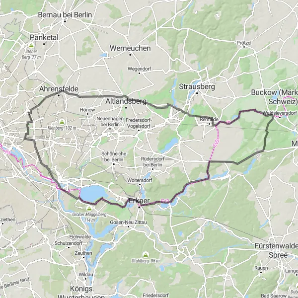
Gravel route from Lichtenberg
Explore unique highlights along scenic paths
Embark on a gravel cycling adventure starting near Lichtenberg and immerse yourself in the beauty of nature. This 70 km route with an ascent of 219 meters takes you through picturesque landscapes and provides opportunities to explore remarkable highlights along the way.
Road route from Lichtenberg
Discover historical landmarks and charming villages
This road route starting near Lichtenberg is perfect for cyclists seeking historical landmarks and picturesque villages. Spanning 81 km with a challenging ascent of 275 meters, the route offers a mix of scenic landscapes and interesting sites to explore.
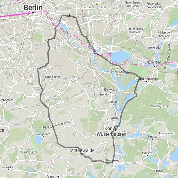
Experience the idyllic countryside near Lichtenberg on this gravel tour.
If you're looking for an adventurous gravel tour through the idyllic countryside near Lichtenberg, this 68-kilometer route is perfect for you. With an elevation gain of 211 meters, it offers a moderate challenge suitable for gravel bikes. Highlights along the route include Inselspitze - Kap Stralau, Insel der Jugend, Mahlow, Technikdenkmal Rieselfeld, Gedenkturm 1813, Preußischer Meilenstein, Uferplattform, and Oberbaumbrücke. The route provides a great mix of natural beauty and historical landmarks.
Experience a diverse mix of landscapes and historical landmarks
Embark on this road cycling adventure starting near Lichtenberg and experience a diverse mix of landscapes and historical landmarks as you ride along. With a distance of 104 km and an ascent of 299 meters, this route offers challenging sections and rewarding experiences for cyclists.
Cycling routes nearby:

Nearby regions: