Lichtenberg Gravel Loop
A gravel cycling route starting from Lichtenberg
Explore the hilly landscapes near Lichtenberg on this unique gravel loop.
Map
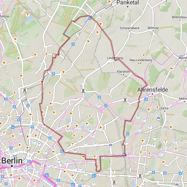
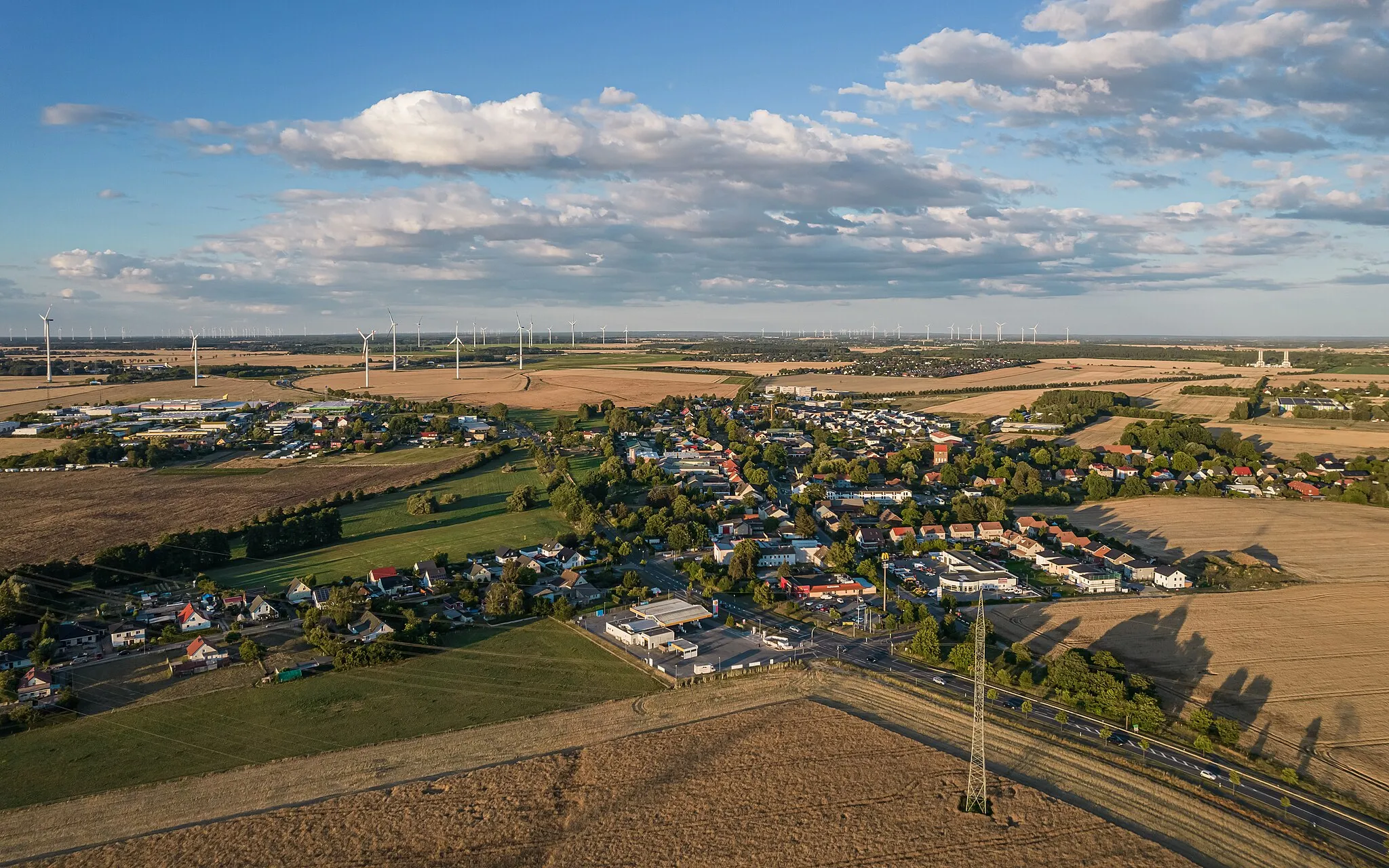
This round-trip cycling route starts near Lichtenberg and takes you through hilly landscapes, offering stunning views along the way. The ride is suitable for gravel bikes and covers a distance of 42 kilometers with 128 meters of ascent. It is rated as a moderately difficult route, perfect for experienced cyclists. The route includes several highlights, such as the Hohes Plateau, Bethanien-Kirche, Moorlinse Buch, Lindenberg, and the Memorial to the Socialists.
gravel
42 km
128 m
Tough
Route profile
Highlights on the route
0 km
0 km
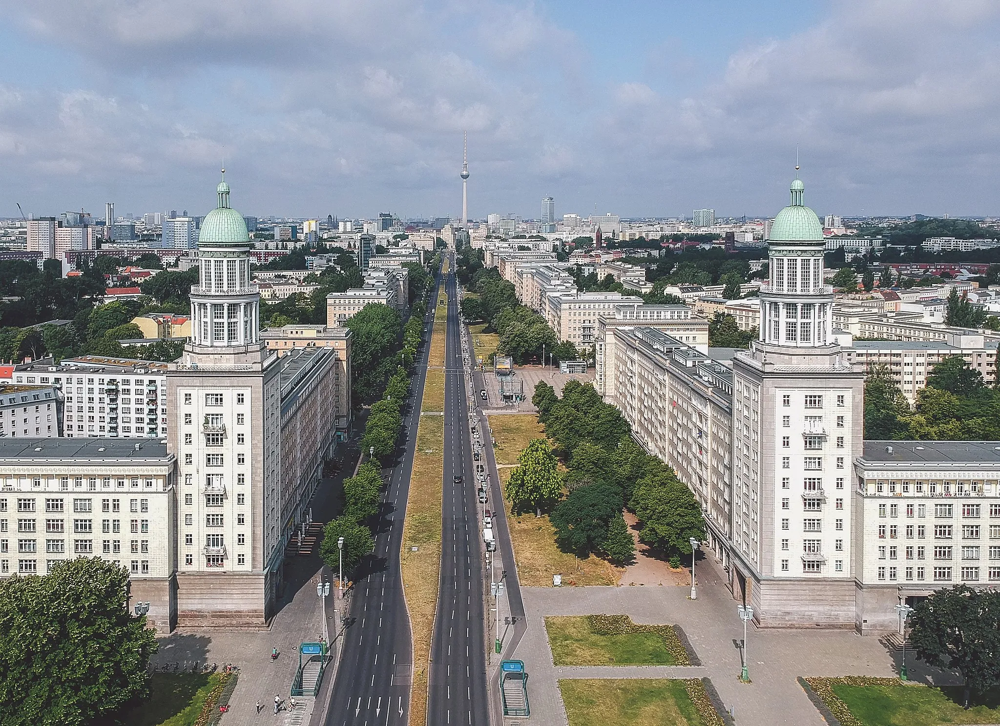
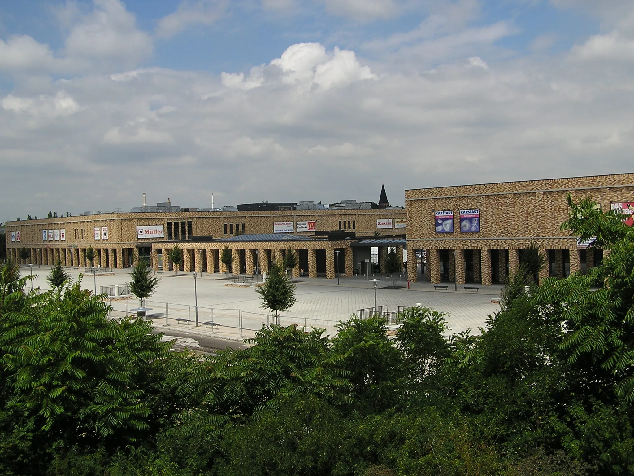
Start: Locality centerLichtenberg: Cycle through Berlin's Lichtenberg District
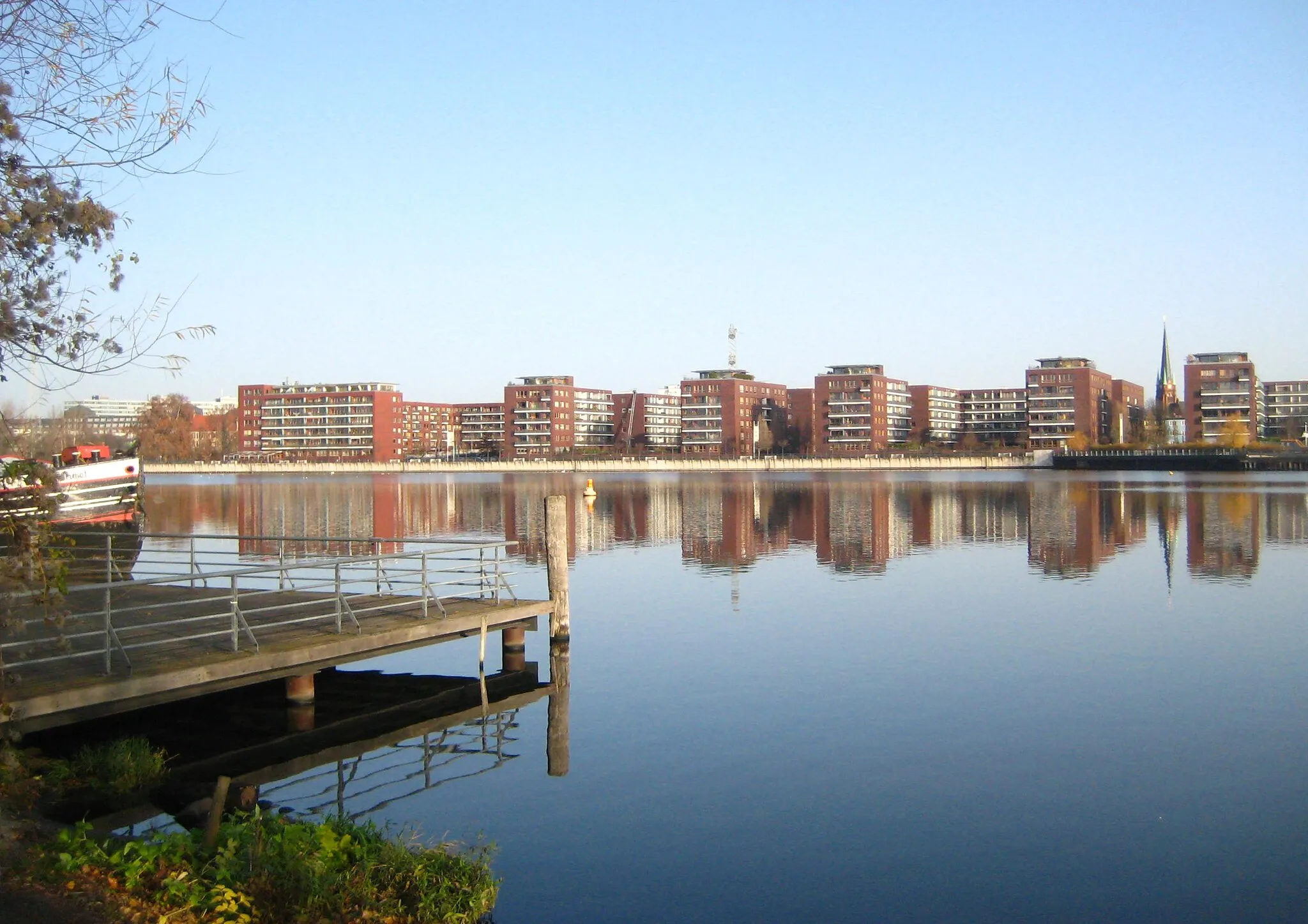
Lichtenberg, located in the city of Berlin, Germany, offers a cyclist-friendly locality with access to various cycling routes. The area features a mixture of urban and suburban landscapes, with quiet roads and bike paths available for cyclists to explore. Lichtenberg is well-connected to other parts of Berlin, allowing riders to easily access popular cycling spots and attractions. Müggelsee, a large lake located nearby, offers beautiful scenery and additional recreational activities. With its convenient location and cycling infrastructure, Lichtenberg is a suitable base for cyclists wishing to explore Berlin and its surroundings.4 km
4 km
Hohes Plateau89 mPeakExperience the beautiful views from the Hohes Plateau.
7 km
7 km
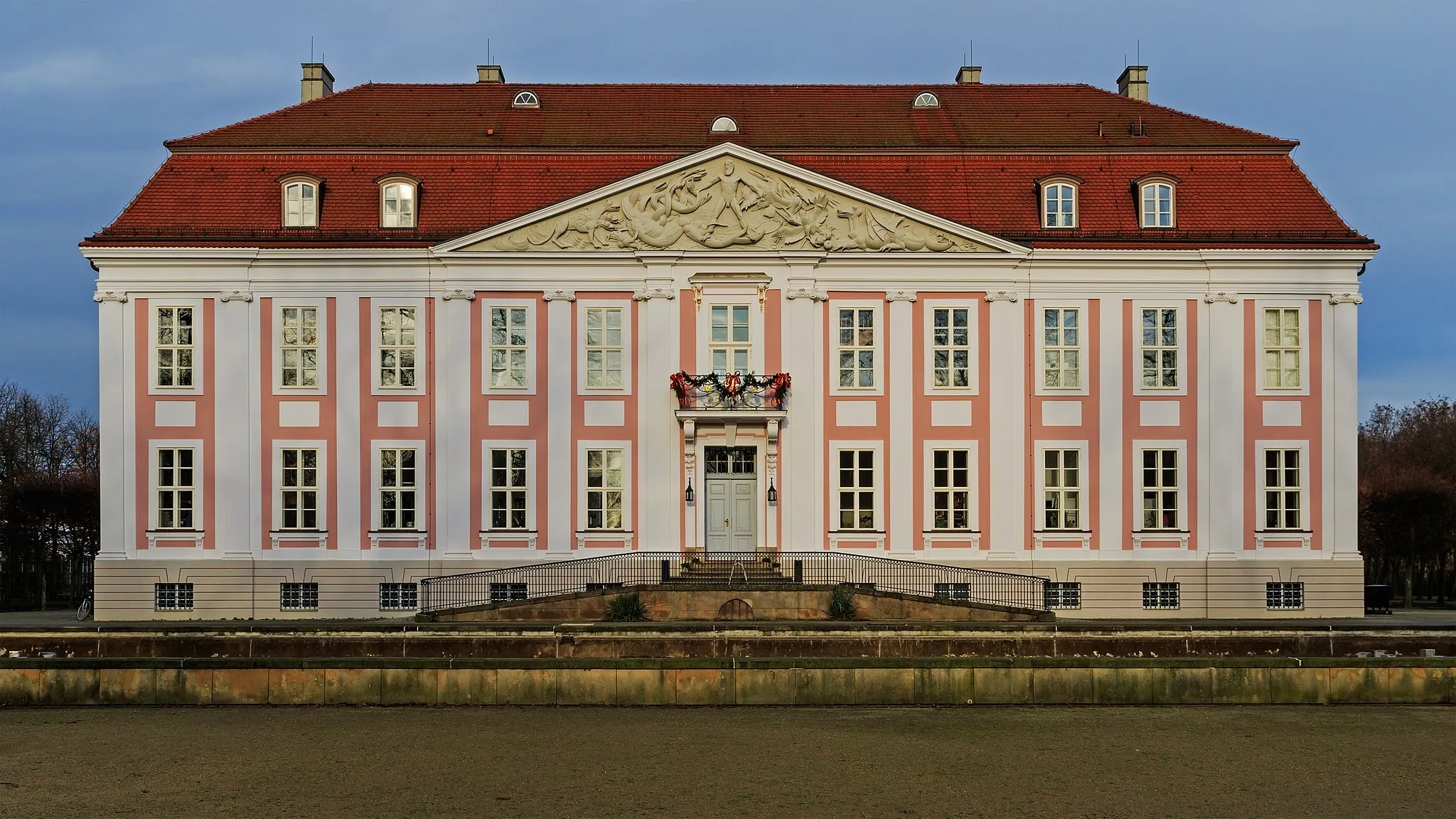
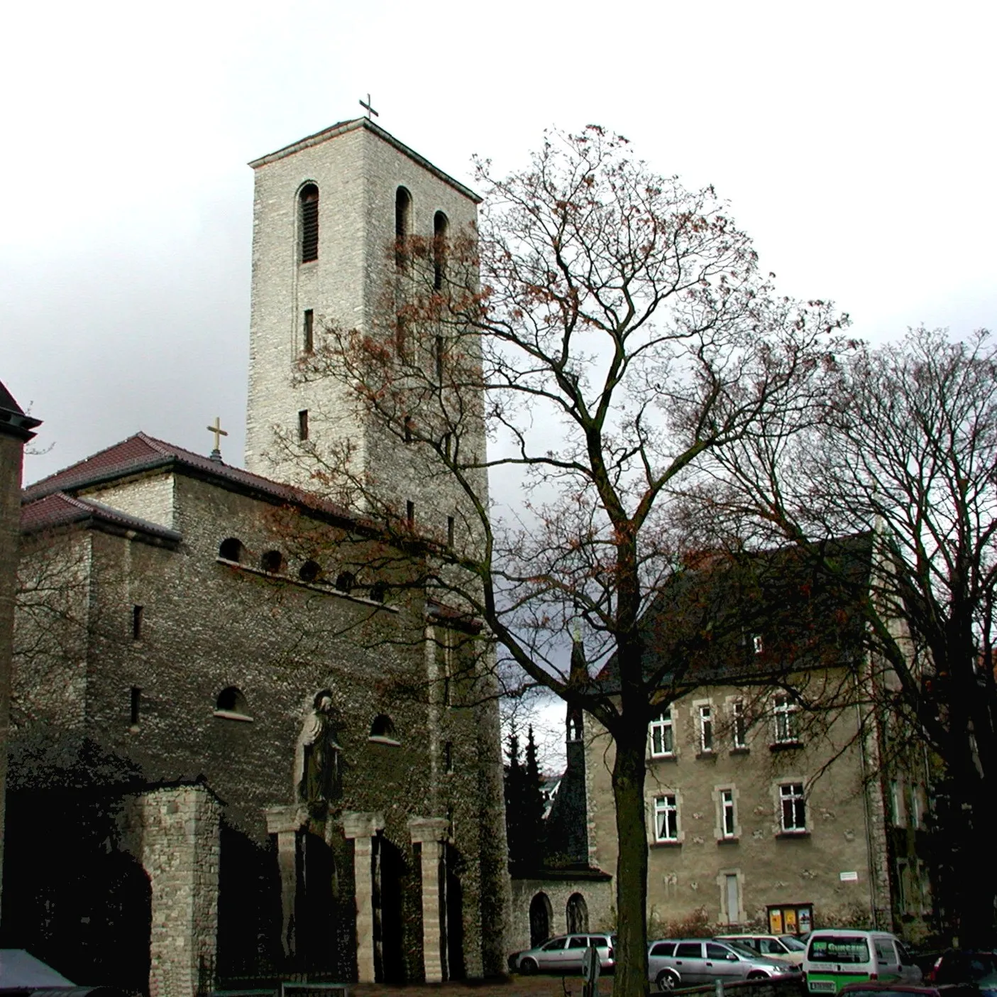
Bethanien-KircheAttractionVisit the historic Bethanien-Kirche.
21 km
21 km
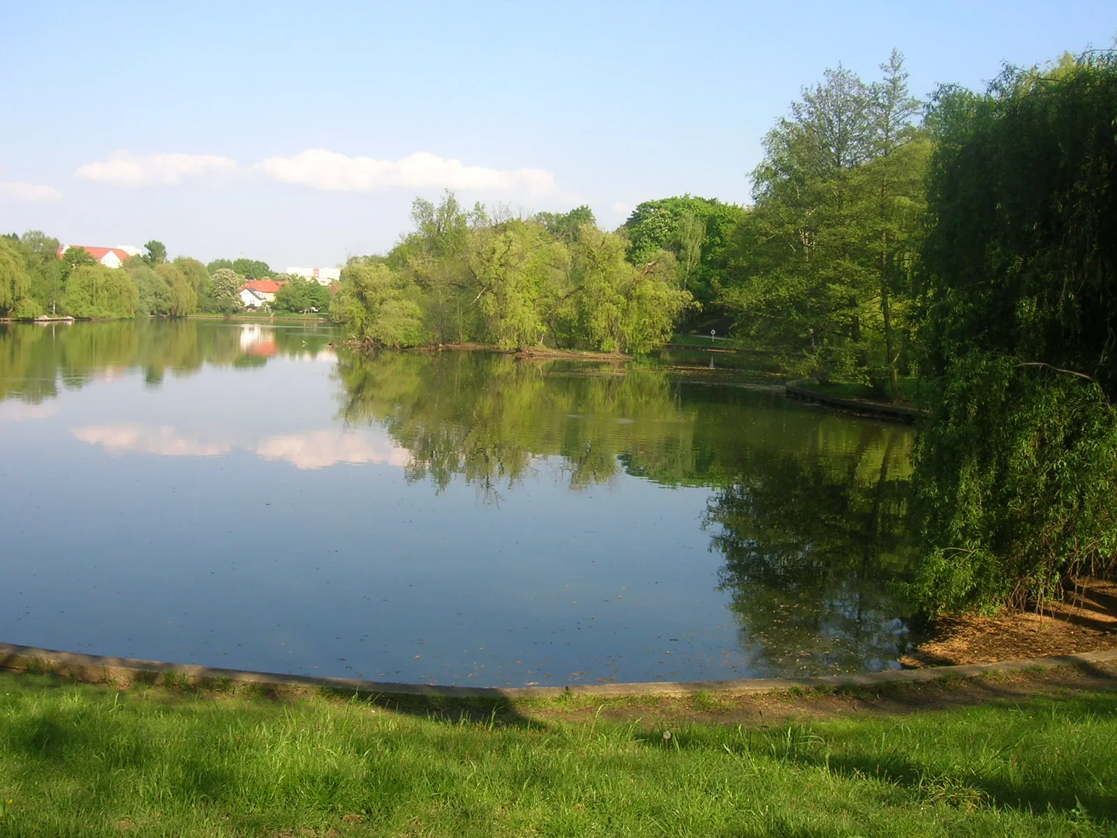
Moorlinse BuchViewpointDiscover the scenic Moorlinse Buch.
26 km
26 km
LindenbergVillageEnjoy the panoramic views from Lindenberg.
42 km
42 km
Memorial to the SocialistsAttractionPay respects at the Memorial to the Socialists.
42 km
42 km
Finish: Locality centerLichtenberg: Cycle through Berlin's Lichtenberg District
Cycling routes from Lichtenberg:
Lichtenberg Gravel Loop Road route from Lichtenberg Lichtenberg Road Adventure Gravel route from Lichtenberg Road route from Lichtenberg Lichtenberg Countryside Gravel Tour Road route from Lichtenberg Off the Beaten Path - Lichtenberg Gravel Adventure Lichtenberg-Road Adventure Extraordinaire Gravel route from Lichtenberg
Cycling routes nearby: