Gravel route from Lichtenberg
A gravel cycling route starting from Lichtenberg
Explore unique highlights along scenic paths
Map
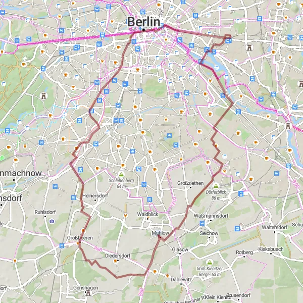
Embark on a gravel cycling adventure starting near Lichtenberg and immerse yourself in the beauty of nature. This 70 km route with an ascent of 219 meters takes you through picturesque landscapes and provides opportunities to explore remarkable highlights along the way.
gravel
70 km
219 m
Tough
Route profile
Highlights on the route
0 km
0 km
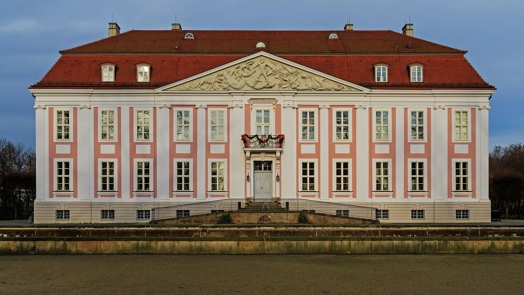
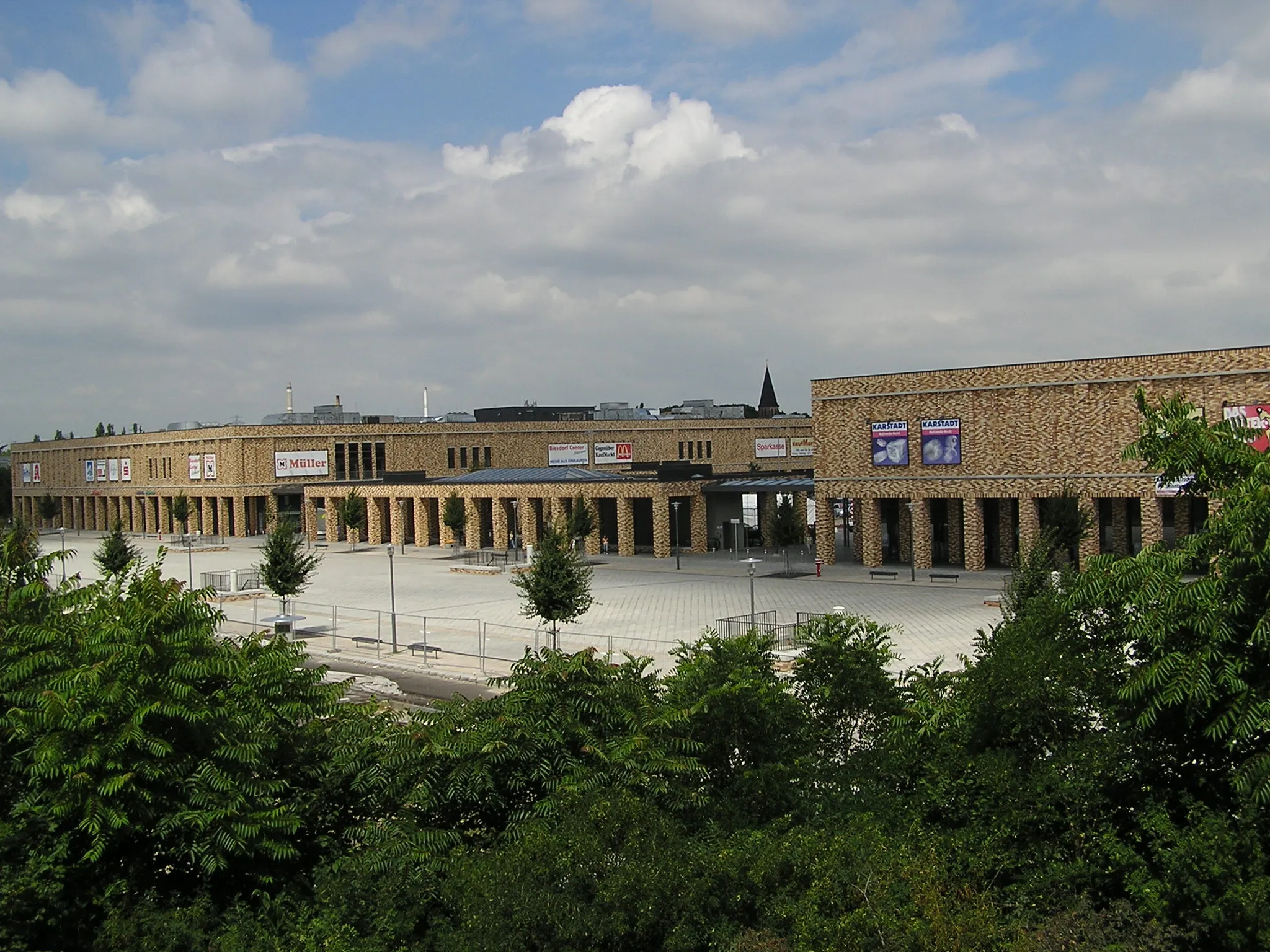
Start: Locality centerLichtenberg: Cycle through Berlin's Lichtenberg District
Lichtenberg, located in the city of Berlin, Germany, offers a cyclist-friendly locality with access to various cycling routes. The area features a mixture of urban and suburban landscapes, with quiet roads and bike paths available for cyclists to explore. Lichtenberg is well-connected to other parts of Berlin, allowing riders to easily access popular cycling spots and attractions. Müggelsee, a large lake located nearby, offers beautiful scenery and additional recreational activities. With its convenient location and cycling infrastructure, Lichtenberg is a suitable base for cyclists wishing to explore Berlin and its surroundings.5 km
5 km
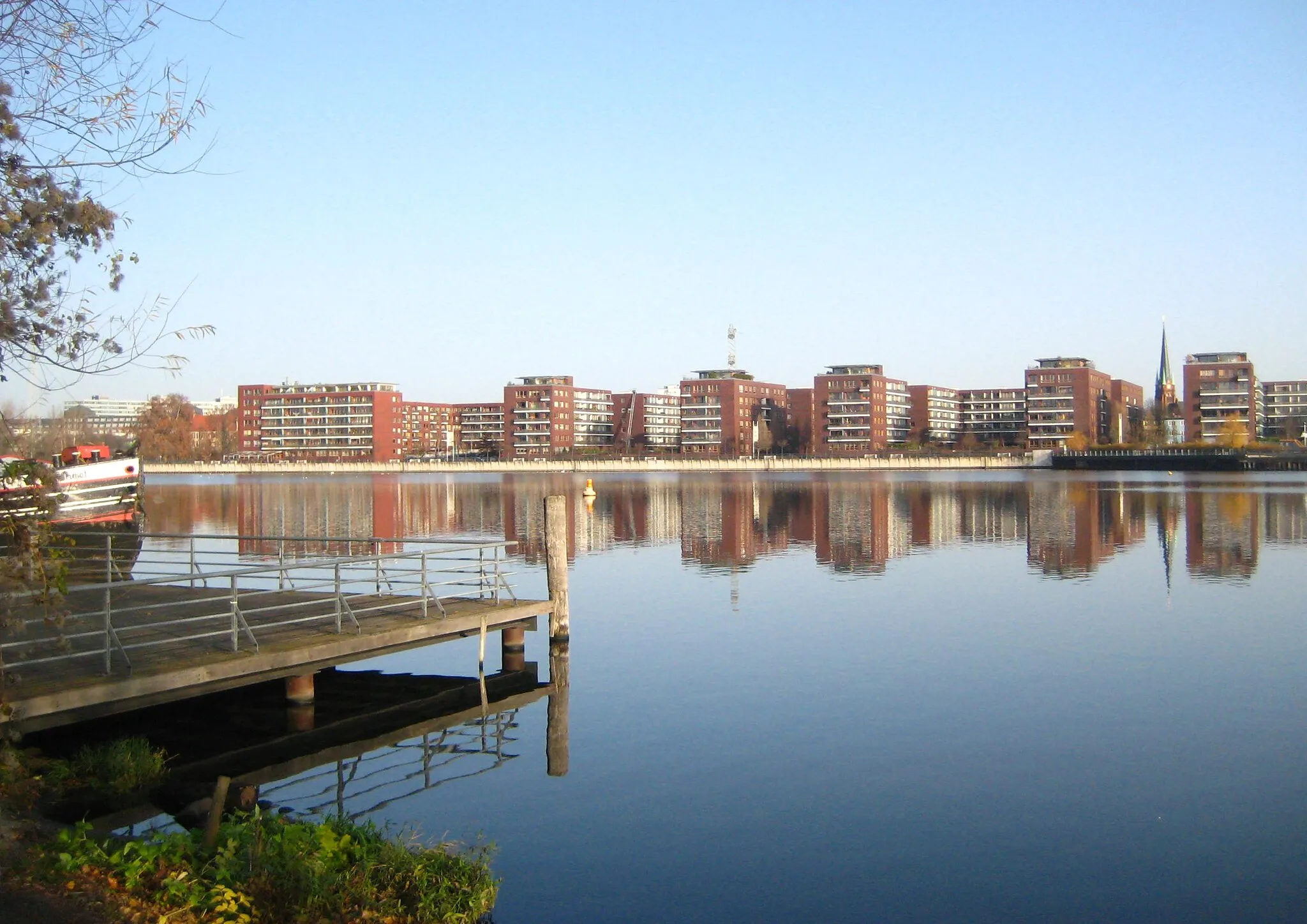
Inselspitze - Kap StralauViewpointVisit Inselspitze - Kap Stralau and enjoy panoramic views of the Spree River and the Berlin skyline.
5 km
5 km
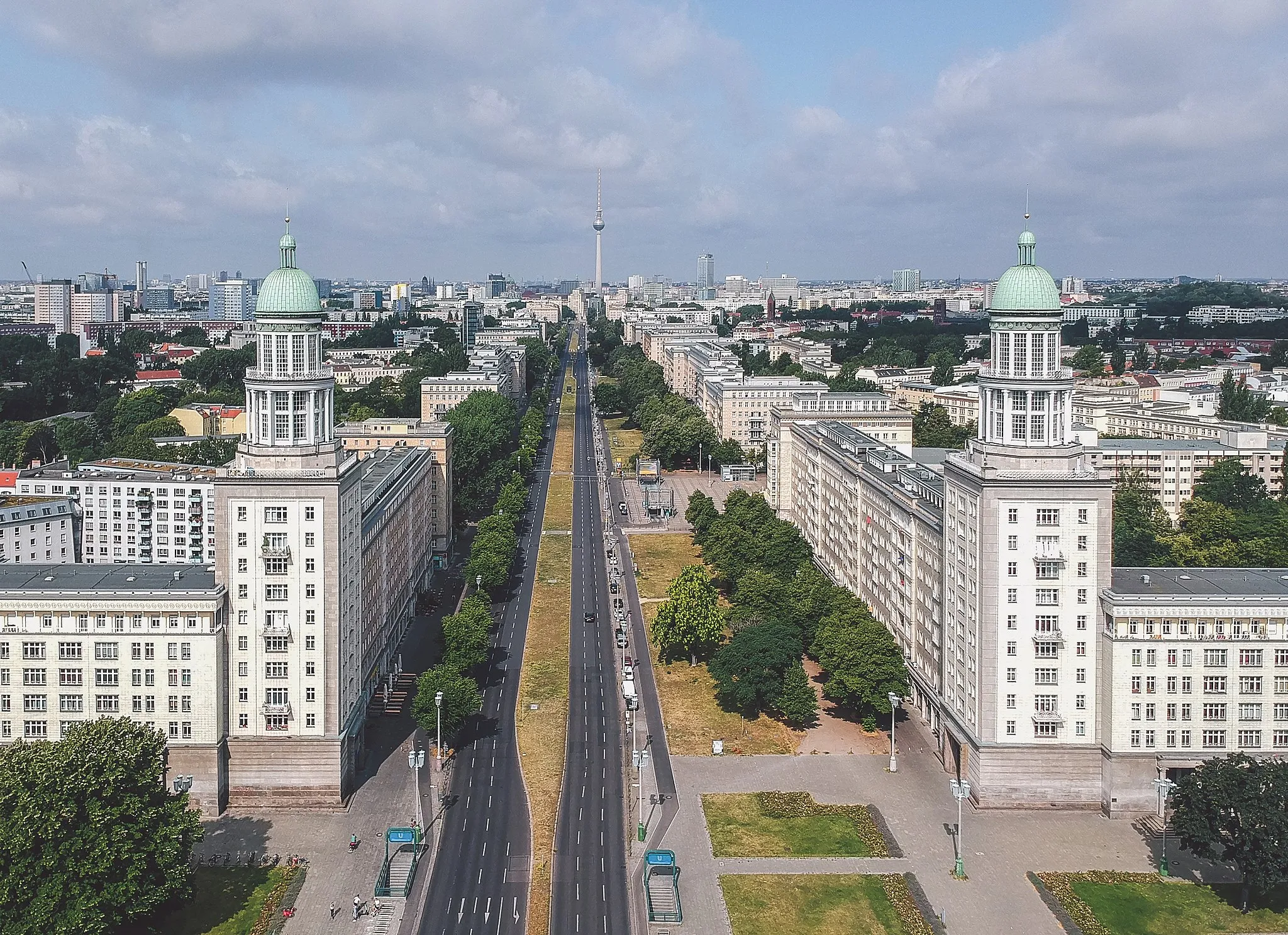
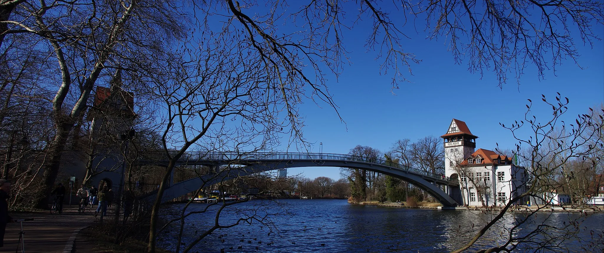
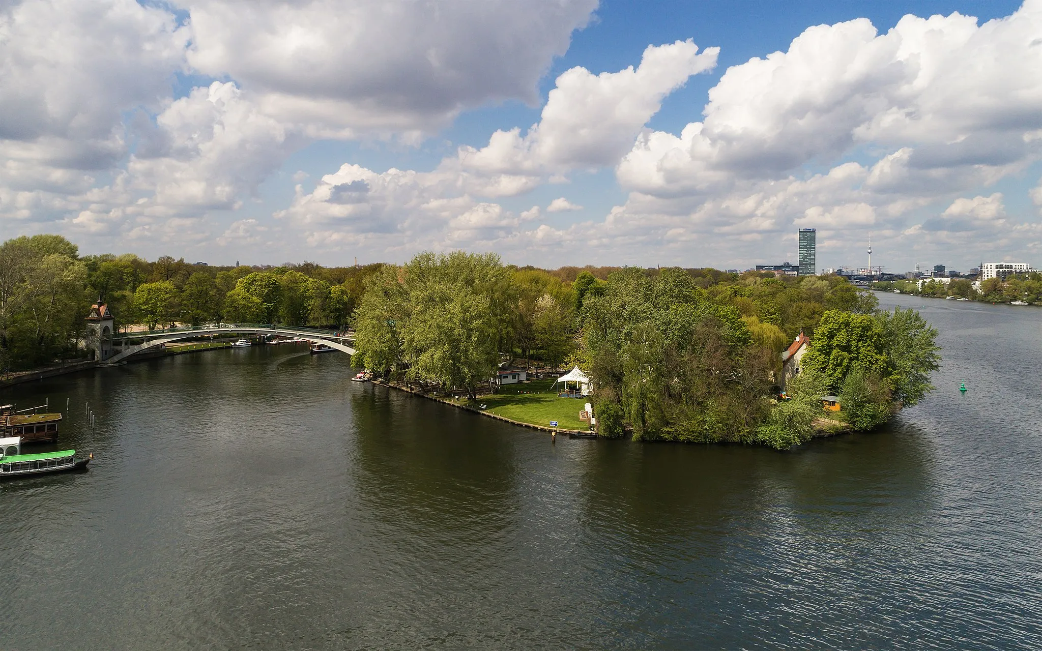
Insel der JugendAttractionDiscover the tranquil Insel der Jugend, an island known for its lush greenery and historic architecture.
19 km
19 km
Weinberg49 mPeakPass through Weinberg and witness the beauty of vineyards that produce locally-produced wines.
21 km
21 km
KleinziethenHamletExplore Kleinziethen, a charming village known for its traditional timber-framed houses and scenic surroundings.
37 km
37 km
Technikdenkmal RieselfeldViewpointUncover the history of the Rieselfeld Technikdenkmal, a former sewage treatment site turned into a technical monument.
38 km
38 km
Gedenkturm 1813AttractionVisit the Gedenkturm 1813, a memorial tower commemorating the Battle of the Nations near Leipzig.
56 km
56 km
Preußischer MeilensteinAttractionDiscover the Preußischer Meilenstein, a Prussian milestone indicating distances to various destinations.
60 km
60 km
PanoramapointViewpointMarvel at the panoramic views from the Panoramapoint, a popular observation point offering stunning vistas of the surrounding area.
67 km
67 km
RAW GeländeAttractionExplore the RAW Gelände, a former industrial area transformed into a vibrant cultural and artistic hub.
70 km
70 km
Finish: Locality centerLichtenberg: Cycle through Berlin's Lichtenberg District
Cycling routes from Lichtenberg:
Lichtenberg Gravel Loop Road route from Lichtenberg Lichtenberg Road Adventure Gravel route from Lichtenberg Road route from Lichtenberg Lichtenberg Countryside Gravel Tour Road route from Lichtenberg Off the Beaten Path - Lichtenberg Gravel Adventure Lichtenberg-Road Adventure Extraordinaire Gravel route from Lichtenberg
Cycling routes nearby: