Unleash your Inner Adventurer in Plänterwald
Cycling routes from Plaenterwald
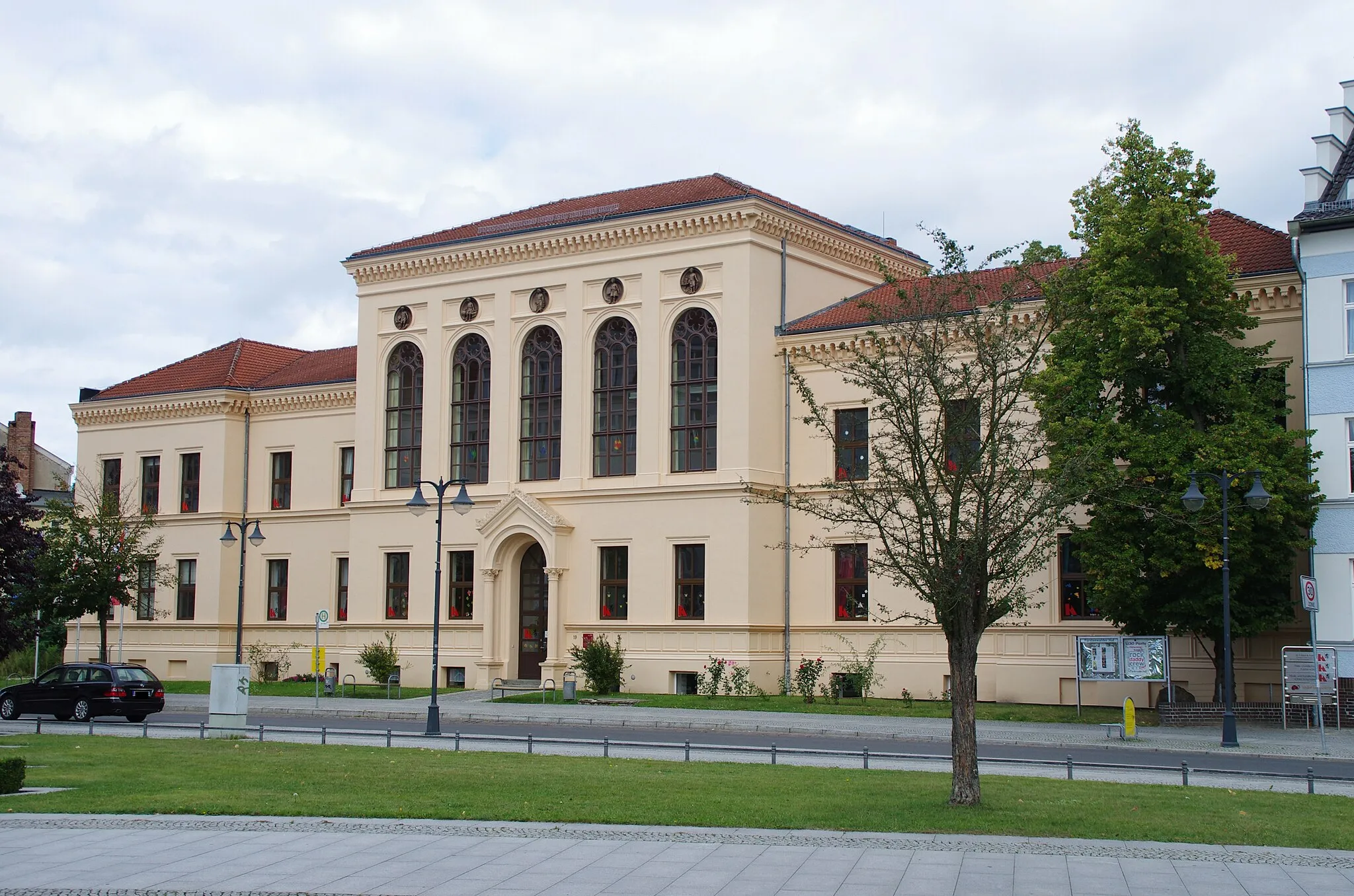
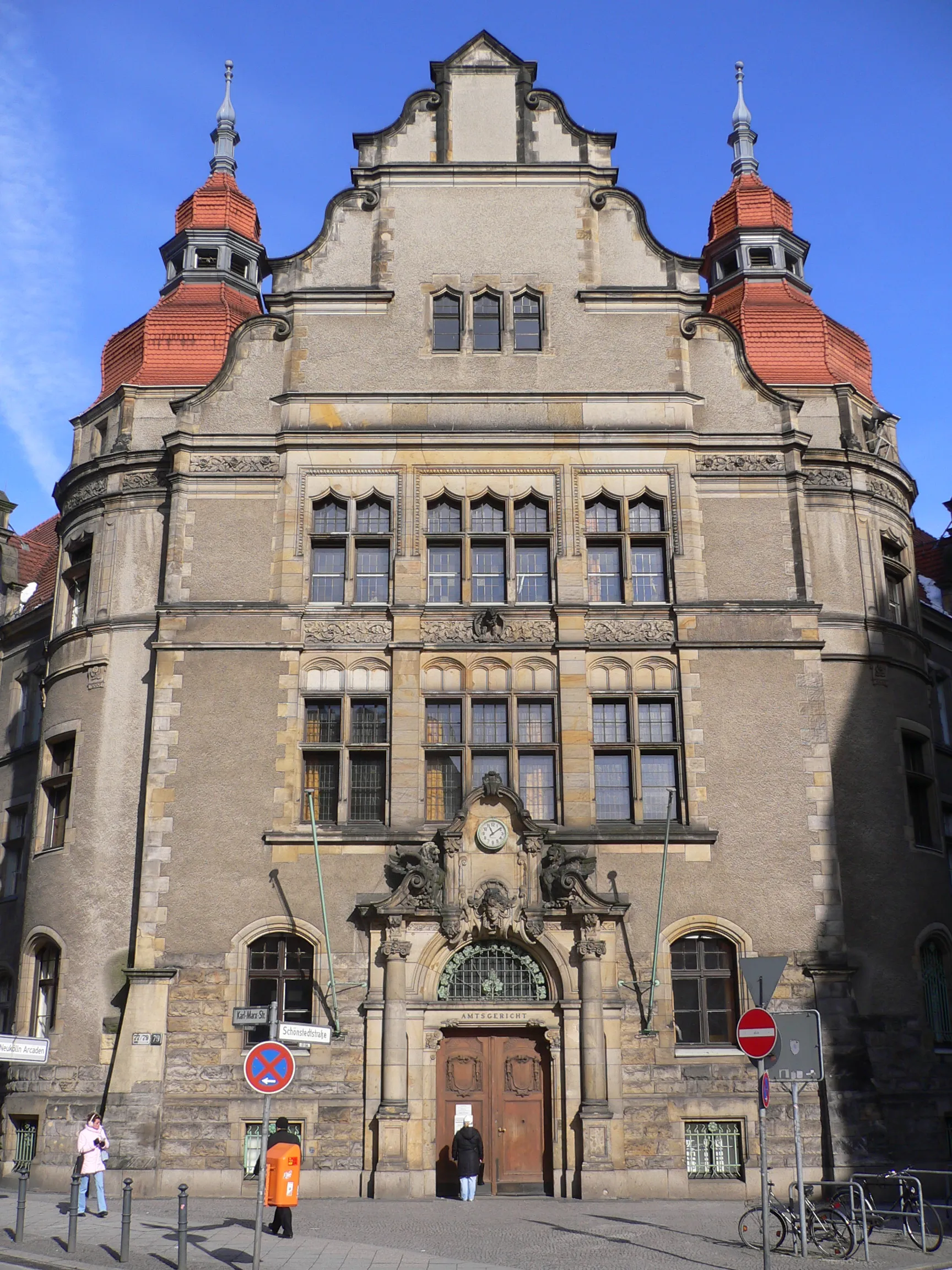
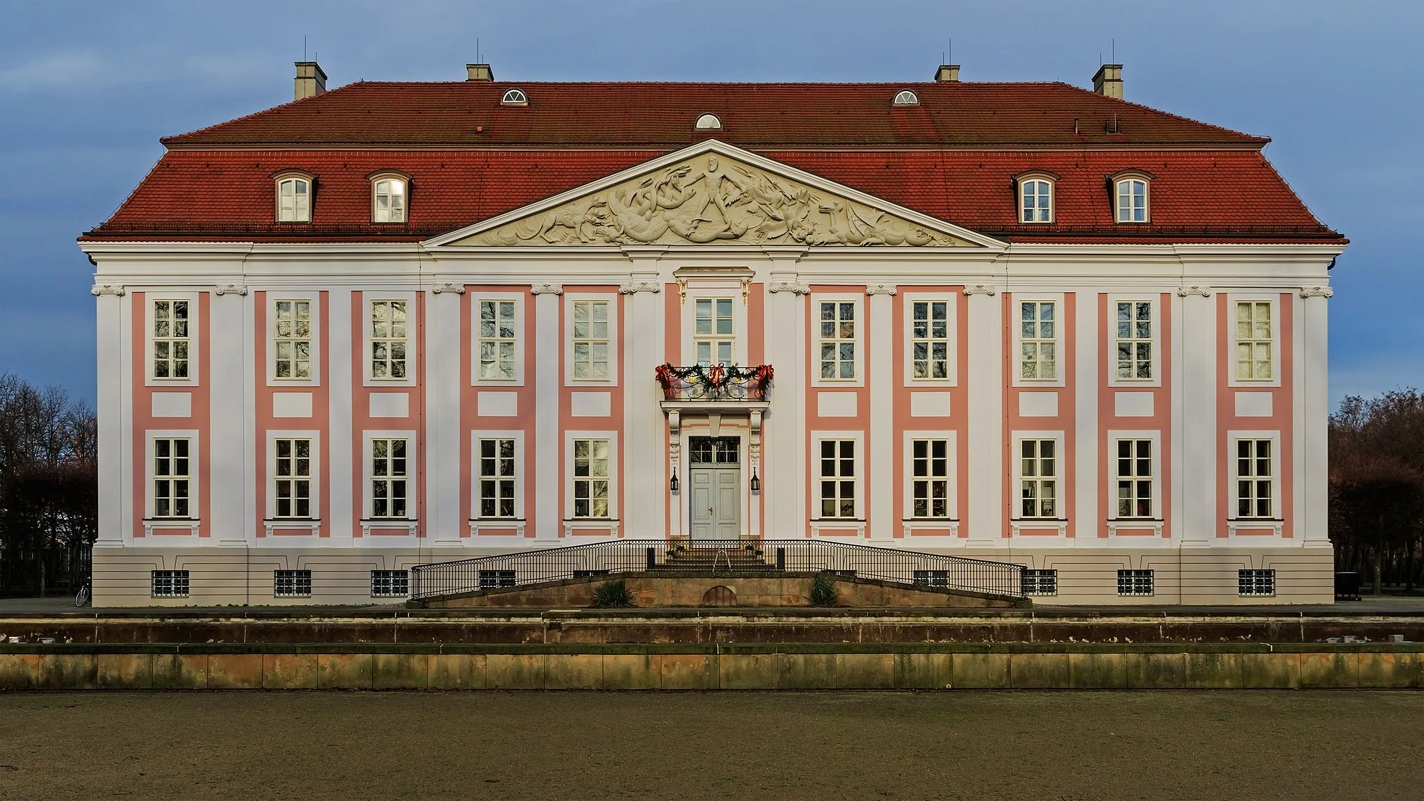
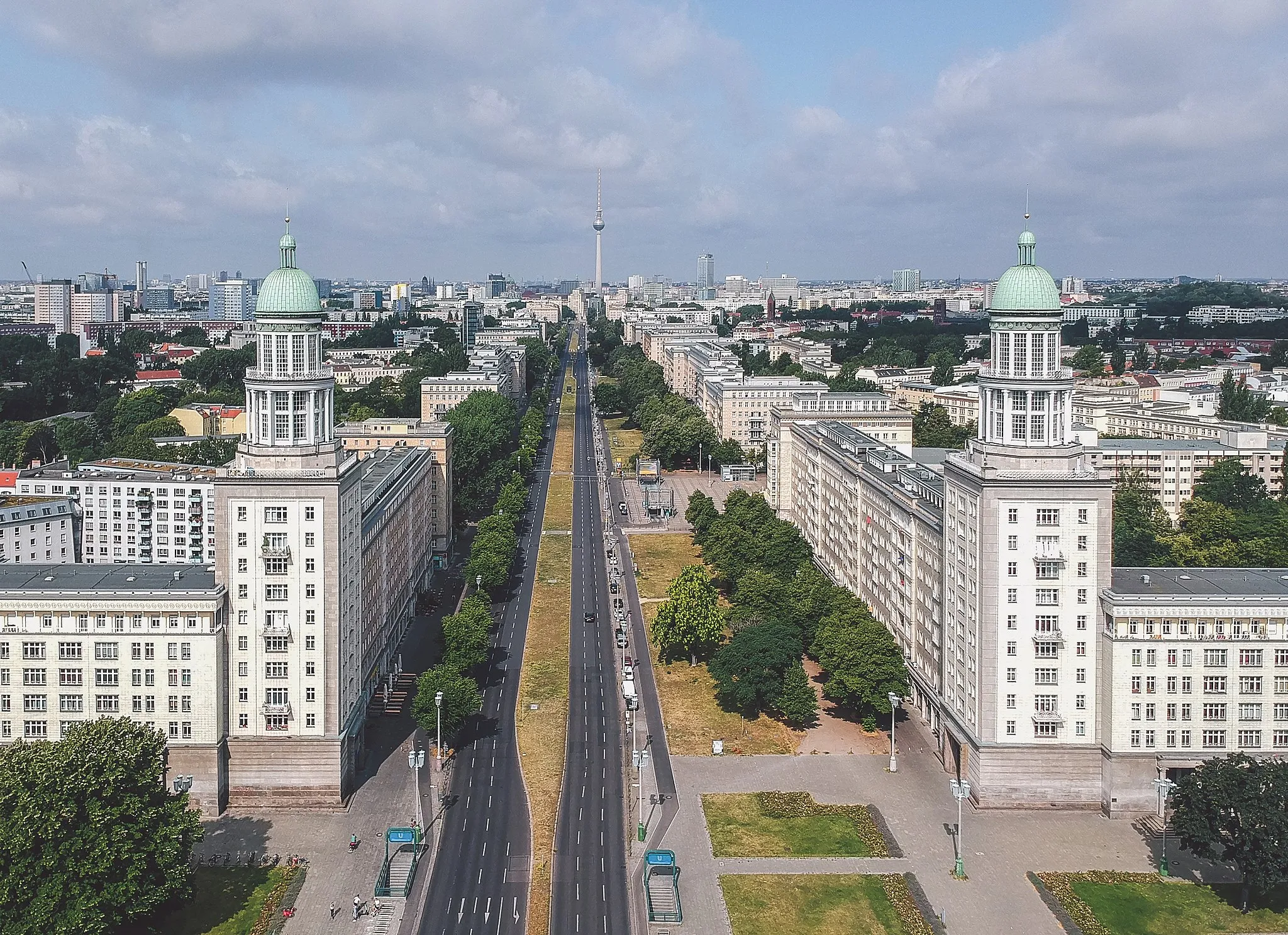
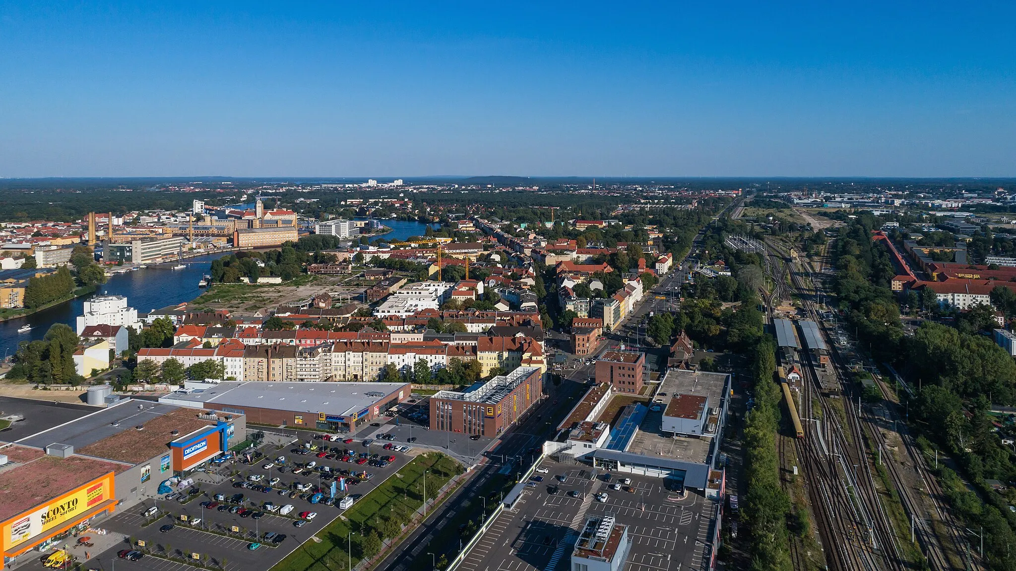
Plänterwald is a locality situated in Berlin, Germany. As a cyclist, Plänterwald offers a mix of challenging off-road trails and recreational cycling paths. The locality is known for its dense forest areas and scenic landscapes, providing a unique experience for gravel and off-road cyclists. Cyclists can explore the extensive network of trails in the nearby Grunewald forest or take a leisurely ride along the riverside paths. Plänterwald is well-equipped with cycling infrastructure, making it an attractive destination for cyclists looking for both adventure and relaxation.
Embark on an adventurous gravel journey exploring natural and historical attractions near Plänterwald.
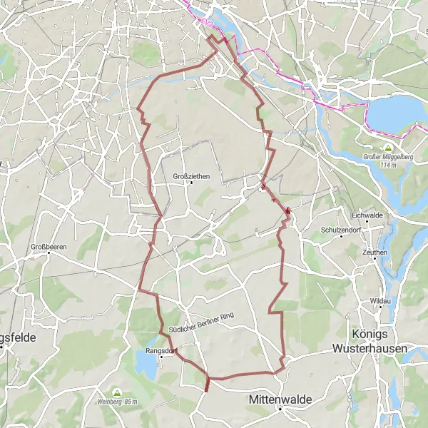
This gravel route takes you through Plänterwald, Rudower Höhe, Ragow, Heideberg, Reiherberge, Mahlow, and the Soviet War Memorial. Immerse yourself in the natural beauty of Plänterwald, experience the tranquility of Ragow's countryside, visit the scenic Heideberg, and explore the historic Reiherberge and the Soviet War Memorial. The route covers a distance of 70 kilometers with a challenging ascent of 176 meters, offering a thrilling cycling adventure in Berlin's outskirts.
Experience the natural beauty and tranquil spots around Plänterwald and its surrounding areas.
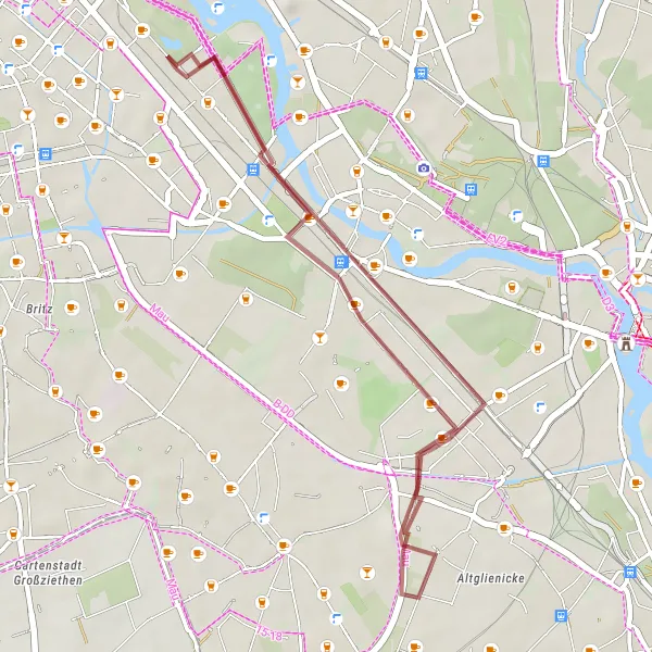
This gravel route takes you on a scenic journey around Plänterwald, Rudower Höhe, Inselspitze - Kap Stralau, and Insel der Jugend. Marvel at the stunning landscapes of Plänterwald, enjoy the panoramic views from Rudower Höhe and Inselspitze - Kap Stralau, and visit the captivating Insel der Jugend. The route covers a distance of 23 kilometers with a gentle ascent of 51 meters, offering a relaxing cycling experience in nature.
Experience the history and natural beauty of Berlin with this gravel route.
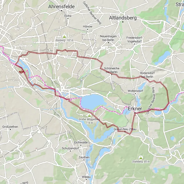
This gravel route takes you through Rudower Höhe, Schönefeld, Mahlow, and the Soviet War Memorial. Along the way, you'll witness stunning views of the city and explore important historical landmarks. The route is suitable for gravel biking and offers a moderate ascent of 109 meters over a distance of 45 kilometers.
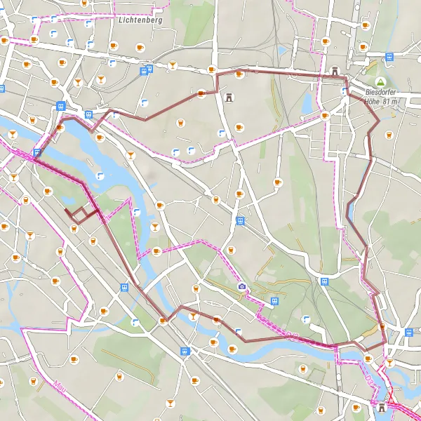
Plänterwald Circular Road Route
Explore the scenic Oberbaumbrücke and the iconic Schrotkugelturm along this 103 km road route
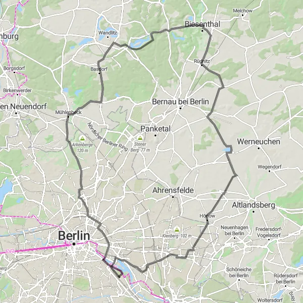
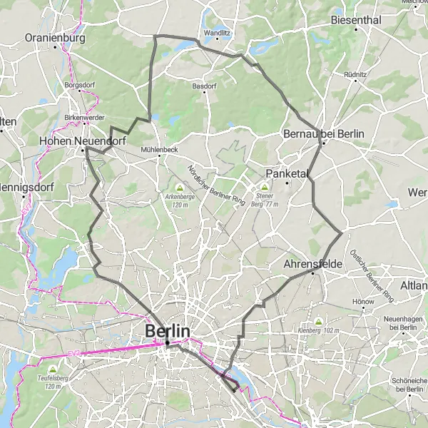
This circular road route starting near Plänterwald takes you through various highlights including Oberbaumbrücke, Mühlberg, Mühlenbeck, Lanke, Börnicke and more. With a total ascent of 360 meters, this route is moderately challenging and covers a distance of 103 km.
Embark on an epic road journey through Berlin's diverse landscapes and landmarks.
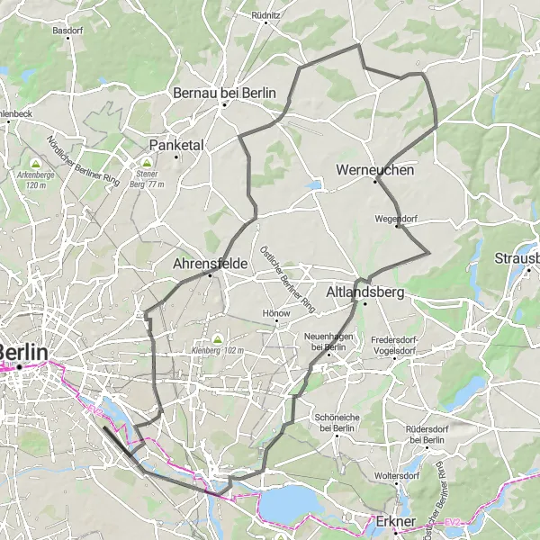
This road route takes you through Friedrichsfelde, Börnicke, Tempelfelde, Wegendorf, Dahlwitz-Hoppegarten, Köpenick, and Aussichtspunkt Bunkerberg. Along the way, you'll have the opportunity to explore charming towns, admire stunning viewpoints, and experience Berlin's rich history. The route covers a distance of 95 kilometers with a challenging ascent of 220 meters, making it suitable for experienced road cyclists.
Embark on an epic road cycling journey through the Märkische Seen area, filled with stunning landscapes and cultural delights.
This challenging road ride covers a distance of 65km and involves a notable ascent of 133m. Pass by the iconic Schrotkugelturm, a former grain silo transformed into an observation tower offering panoramic vistas. Experience the natural beauty of Kienberg with its rolling hills and picturesque lake. Discover Birkenstein, a hidden gem of tranquility surrounded by lush forests. Cycle through Woltersdorf, known for its historic villas, and climb Springeberg for stunning views. Reach the summit of Müggelturm for a panoramic view of Berlin and experience the scenic charm of Köpenick and Baumschulenweg.
Berlin's Hidden Gems
Embark on an epic road cycling journey through Berlin's unique sights, uncovering hidden gems along the way.
This challenging road ride covers a distance of 94km and involves a demanding ascent of 380m. Enjoy stunning views from the Dachterrasse Humboldt Forum and appreciate the grandeur of Berlin's architecture. Explore the vibrant city center of Berlin, filled with history and cultural landmarks. Discover Bergfelde with its beautiful countryside and charming village atmosphere. Cycle through Wensickendorf and marvel at its picturesque landscapes. Climb to the top of Schuttberg for breathtaking views of the surrounding area. Experience the community spirit of Rollberg and admire the Sowjetisches Ehrenmal, a memorial dedicated to Soviet soldiers. Conclude the ride in Birkholz, surrounded by idyllic landscapes and tranquility.
Cycle through the outskirts of Berlin on this gravel route that combines natural landscapes and historical landmarks.
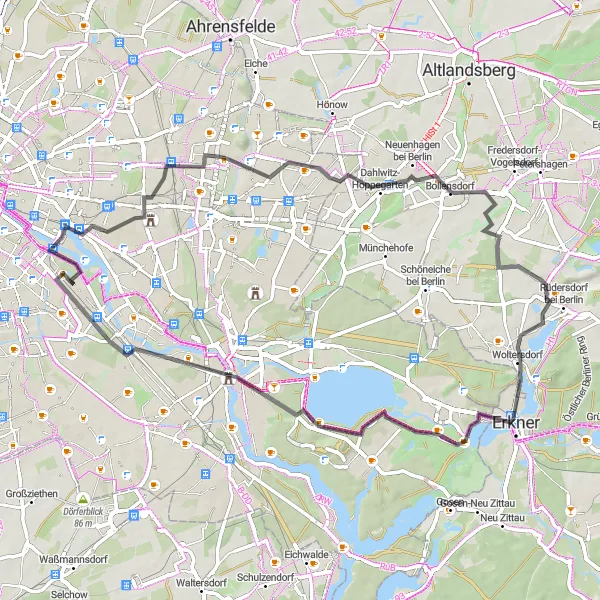
This challenging gravel route spans a distance of 72km with a significant ascent of 232m. Visit Schloss Biesdorf and admire its unique architecture surrounded by a serene park. Discover the Berliner Balkon, a hidden gem offering a magnificent view over the city. Explore Schöneiche bei Berlin, a picturesque town with its peaceful atmosphere and charming streets. Pass through Gosen-Neu Zittau, known for its historic village center. Climb to the top of Müggelturm for a panoramic view of the Müggelberge. Immerse yourself in the scenic beauty of Köpenick and enjoy the relaxed ambiance of Berlin's former Riesenrad (giant Ferris wheel) site.
Plänterwald Scenic Road Route
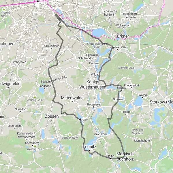
Experience the beauty of Müggelheim and Soviet War Memorial on this 132 km road route
This scenic road route starting near Plänterwald takes you through various highlights including Müggelheim, Seddinberg, Stujangsberg, Bindow, and more. With a total ascent of 381 meters, this route is moderately challenging and covers a distance of 132 km.
Berlin Gravel Adventure
Discover the hidden gems of Berlin's eastern outskirts on this exciting gravel adventure.
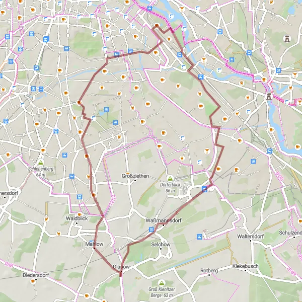
This route offers a great combination of nature and cultural highlights in Berlin's Plänterwald area. With a moderate ascent of 62m over a distance of 27km, it is suitable for most gravel riders. Explore Schloss Biesdorf, a beautiful castle set in a serene park and take in the panoramic view from Biesdorfer Höhe. Don't miss the unique Modellpark Berlin-Brandenburg, showcasing miniature landmarks of the region.
Cycling routes nearby:


Nearby regions: