Gravel Route around Plänterwald, Rudower Höhe, Inselspitze - Kap Stralau, and Insel der Jugend
A gravel cycling route starting from Plaenterwald
Experience the natural beauty and tranquil spots around Plänterwald and its surrounding areas.
Map
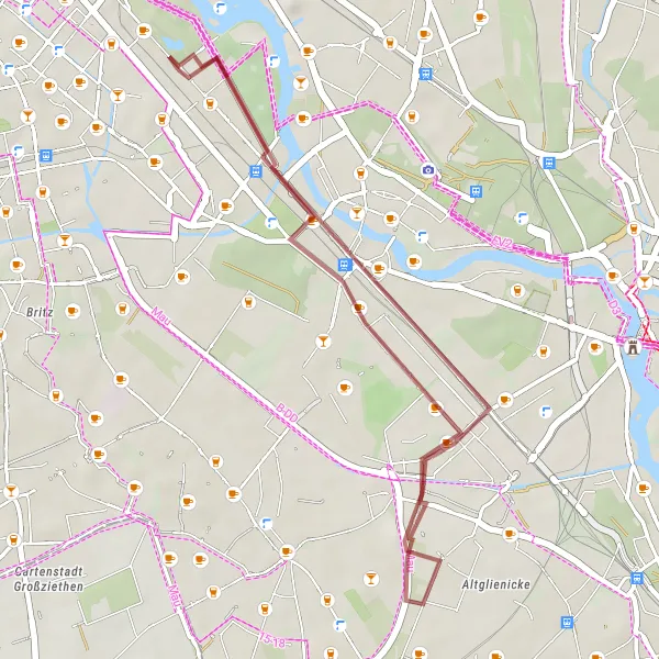
This gravel route takes you on a scenic journey around Plänterwald, Rudower Höhe, Inselspitze - Kap Stralau, and Insel der Jugend. Marvel at the stunning landscapes of Plänterwald, enjoy the panoramic views from Rudower Höhe and Inselspitze - Kap Stralau, and visit the captivating Insel der Jugend. The route covers a distance of 23 kilometers with a gentle ascent of 51 meters, offering a relaxing cycling experience in nature.
gravel
23 km
51 m
Chill
Route profile
Highlights on the route
0 km
0 km
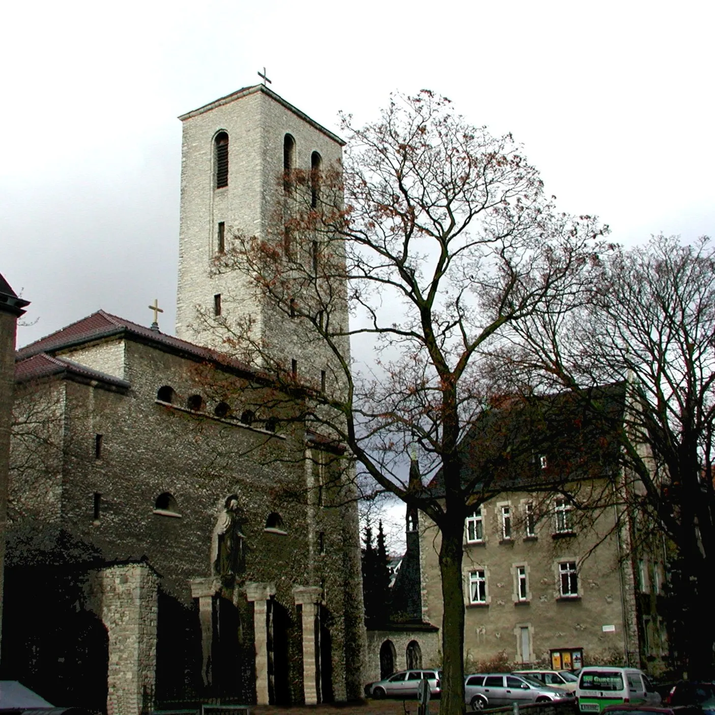
Start: Locality centerPlänterwald: Unleash your Inner Adventurer in Plänterwald
Plänterwald is a locality situated in Berlin, Germany. As a cyclist, Plänterwald offers a mix of challenging off-road trails and recreational cycling paths. The locality is known for its dense forest areas and scenic landscapes, providing a unique experience for gravel and off-road cyclists. Cyclists can explore the extensive network of trails in the nearby Grunewald forest or take a leisurely ride along the riverside paths. Plänterwald is well-equipped with cycling infrastructure, making it an attractive destination for cyclists looking for both adventure and relaxation.0 km
0 km
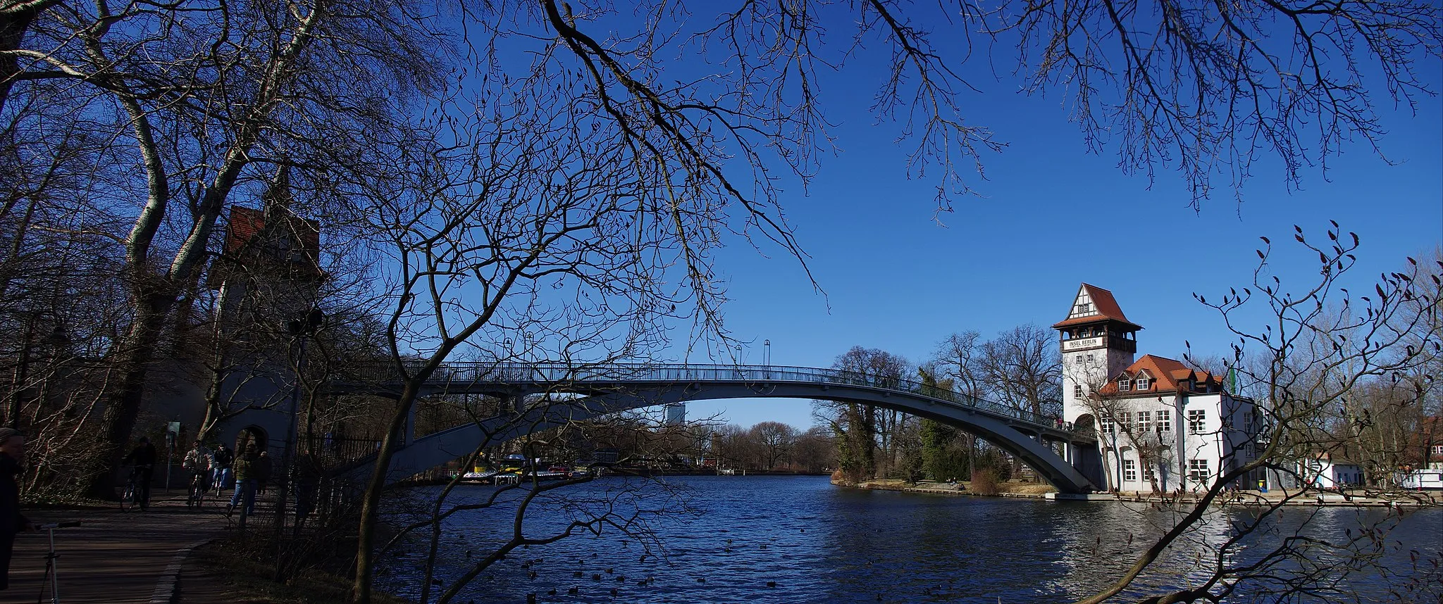
PlänterwaldSub-urbPlänterwald is a charming forest area leading to the banks of the Spree River, perfect for serene walks and picnics.
10 km
10 km
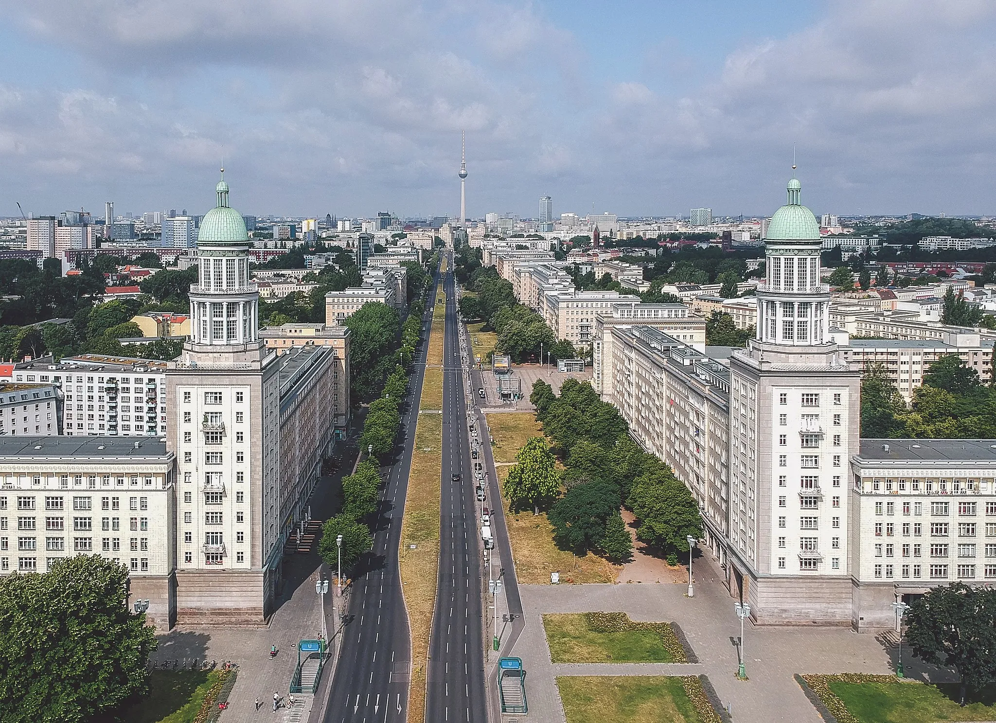
Rudower Höhe70 mPeakRudower Höhe offers panoramic views of Berlin and is a popular spot for outdoor enthusiasts.
22 km
22 km
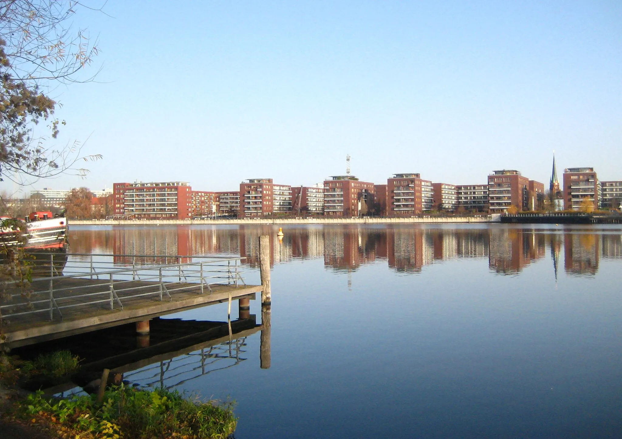
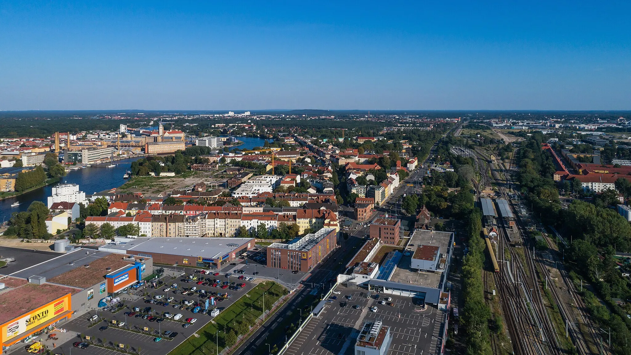
Inselspitze - Kap StralauViewpointInselspitze - Kap Stralau is a peaceful peninsula located on the banks of the River Spree, offering tranquility amidst the bustling city.
22 km
22 km
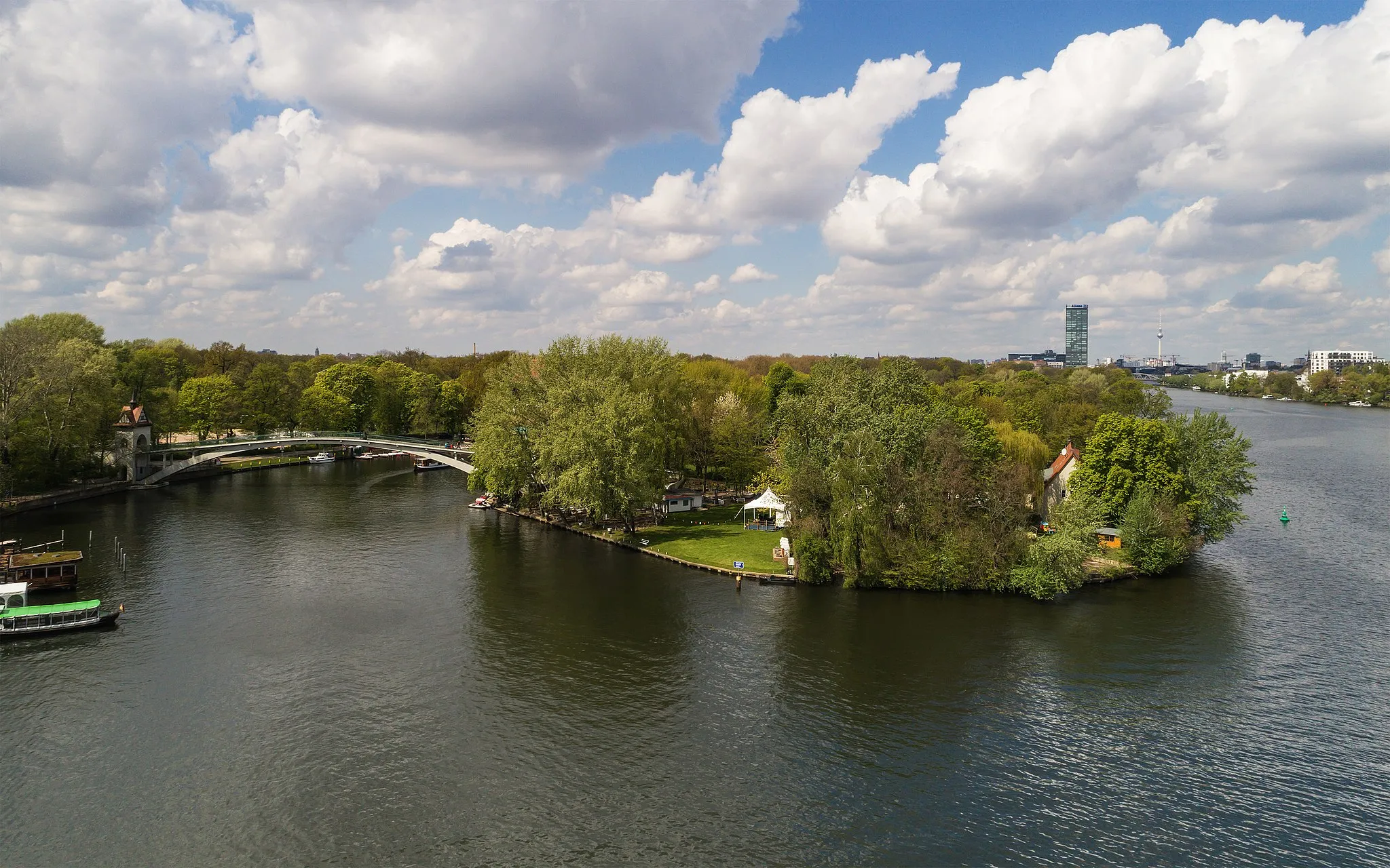
Insel der JugendAttractionInsel der Jugend is a picturesque island on the Spree River, known for its idyllic parkland, historic buildings, and cultural events.
23 km
23 km
Finish: Locality centerPlänterwald: Unleash your Inner Adventurer in Plänterwald
Cycling routes from Plaenterwald:
Gravel Route through Rudower Höhe, Schönefeld, Mahlow, and the Soviet War Memorial Berlin Gravel Adventure Road Route through Friedrichsfelde, Börnicke, Tempelfelde, Wegendorf, Dahlwitz-Hoppegarten, Köpenick, and Aussichtspunkt Bunkerberg Plänterwald Scenic Road Route Gravel Route around Plänterwald, Rudower Höhe, Inselspitze - Kap Stralau, and Insel der Jugend Gravel Route through Plänterwald, Rudower Höhe, Ragow, Heideberg, Reiherberge, Mahlow, and the Soviet War Memorial Märkische Seen Road Tour Berlin's Hidden Gems Plänterwald Circular Road Route Berlin's Gravel Echo
Cycling routes nearby: