Plänterwald Circular Road Route
A road cycling route starting from Plaenterwald
Explore the scenic Oberbaumbrücke and the iconic Schrotkugelturm along this 103 km road route
Map
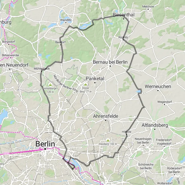
This circular road route starting near Plänterwald takes you through various highlights including Oberbaumbrücke, Mühlberg, Mühlenbeck, Lanke, Börnicke and more. With a total ascent of 360 meters, this route is moderately challenging and covers a distance of 103 km.
road
103 km
360 m
Tough
Route profile
Highlights on the route
0 km
0 km
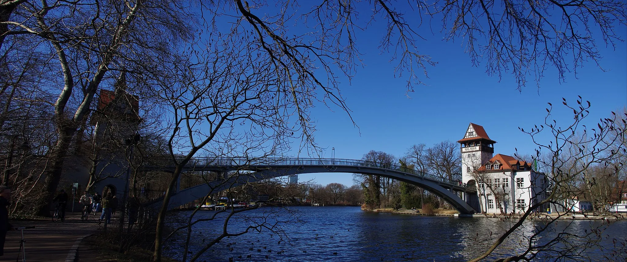
Start: Locality centerPlänterwald: Unleash your Inner Adventurer in Plänterwald
Plänterwald is a locality situated in Berlin, Germany. As a cyclist, Plänterwald offers a mix of challenging off-road trails and recreational cycling paths. The locality is known for its dense forest areas and scenic landscapes, providing a unique experience for gravel and off-road cyclists. Cyclists can explore the extensive network of trails in the nearby Grunewald forest or take a leisurely ride along the riverside paths. Plänterwald is well-equipped with cycling infrastructure, making it an attractive destination for cyclists looking for both adventure and relaxation.4 km
4 km
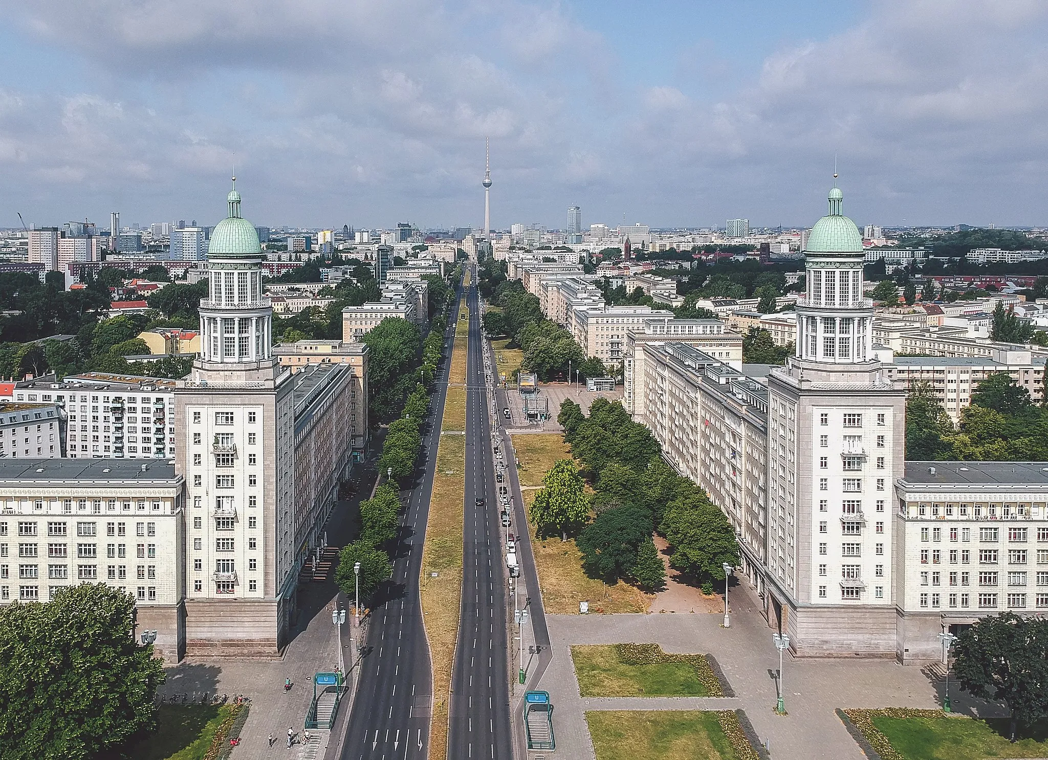
OberbaumbrückeAttractionThe Oberbaumbrücke is a historic double-deck bridge that connects the boroughs of Friedrichshain and Kreuzberg, offering stunning views of the city and the River Spree.
13 km
13 km
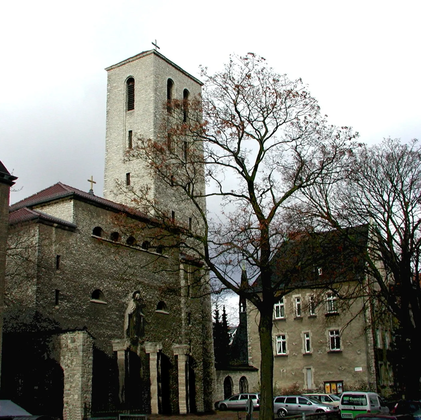
MosaikViewpointMosaik is a colorful mosaic on a residential building near Plänterwald, representing the vibrant street art culture of Berlin.
20 km
20 km
Mühlberg60 mPeakMühlberg is a beautiful hill with panoramic views of the surrounding countryside, ideal for a peaceful break during your cycling journey.
25 km
25 km
MühlenbeckVillageMühlenbeck is a charming village with traditional windmills, providing a picturesque backdrop for your cycling adventure.
47 km
47 km
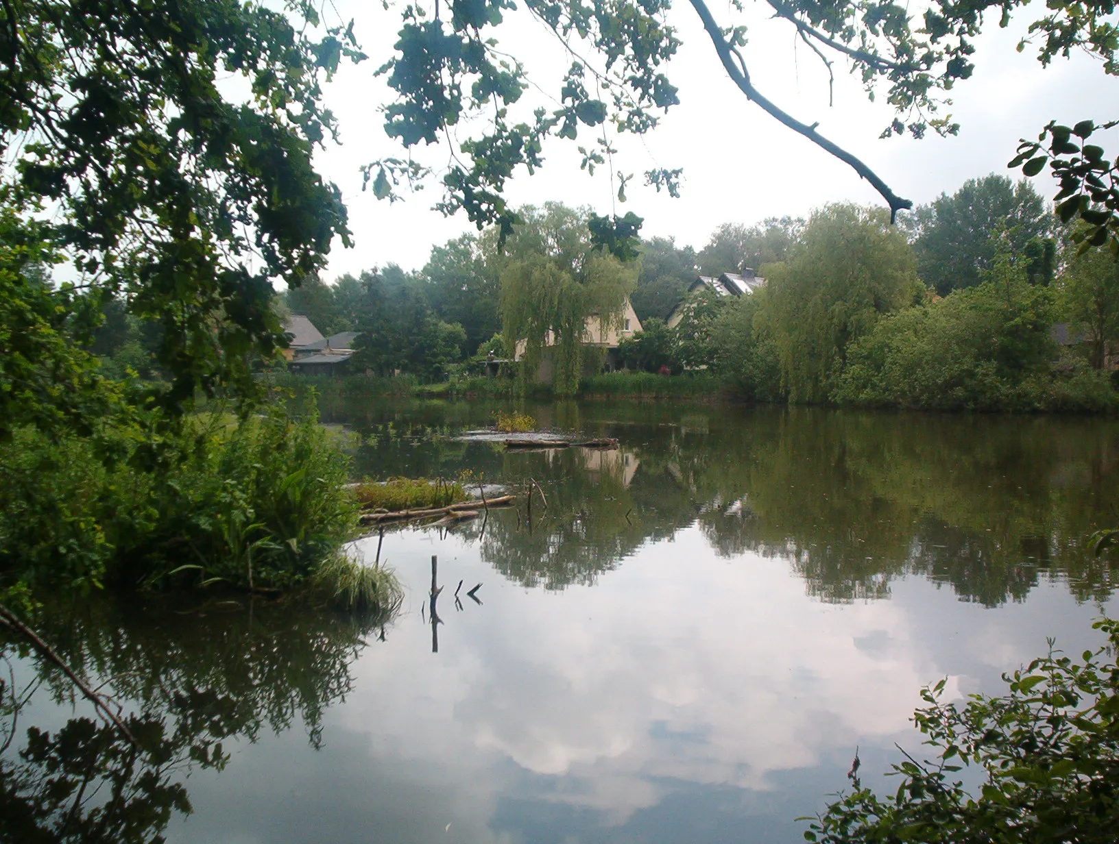
LankeVillageLanke is a popular lakeside destination with a tranquil atmosphere and opportunities for swimming and picnicking.
66 km
66 km
BörnickeVillageBörnicke is a small village known for its quaint architecture and peaceful surroundings, making it a pleasant spot to rest and rejuvenate during your ride.
83 km
83 km
HönowVillageHönow is a village with scenic countryside views and historic buildings, showcasing the charm of rural Germany.
91 km
91 km
Biesdorfer Höhe81 mPeakBiesdorfer Höhe offers panoramic views over the surrounding area, providing a rewarding endpoint for this cycling route.
100 km
100 km
SchrotkugelturmAttractionSchrotkugelturm is a unique architectural landmark featuring a ball-shaped tower that offers a panoramic view of the surrounding countryside.
103 km
103 km
Finish: Locality centerPlänterwald: Unleash your Inner Adventurer in Plänterwald
Cycling routes from Plaenterwald:
Gravel Route through Rudower Höhe, Schönefeld, Mahlow, and the Soviet War Memorial Berlin Gravel Adventure Road Route through Friedrichsfelde, Börnicke, Tempelfelde, Wegendorf, Dahlwitz-Hoppegarten, Köpenick, and Aussichtspunkt Bunkerberg Plänterwald Scenic Road Route Gravel Route around Plänterwald, Rudower Höhe, Inselspitze - Kap Stralau, and Insel der Jugend Gravel Route through Plänterwald, Rudower Höhe, Ragow, Heideberg, Reiherberge, Mahlow, and the Soviet War Memorial Märkische Seen Road Tour Berlin's Hidden Gems Plänterwald Circular Road Route Berlin's Gravel Echo
Cycling routes nearby: