Dynamic urban cycling in vibrant Berlin district
Cycling routes from Oberschoeneweide
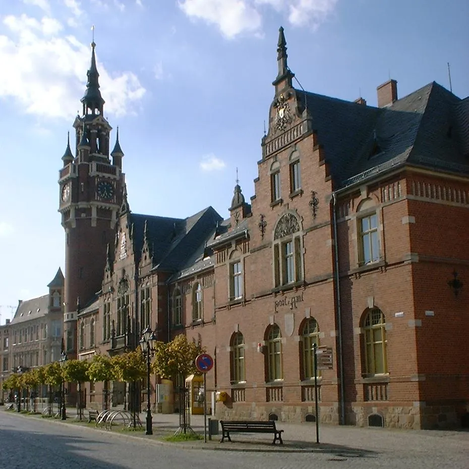
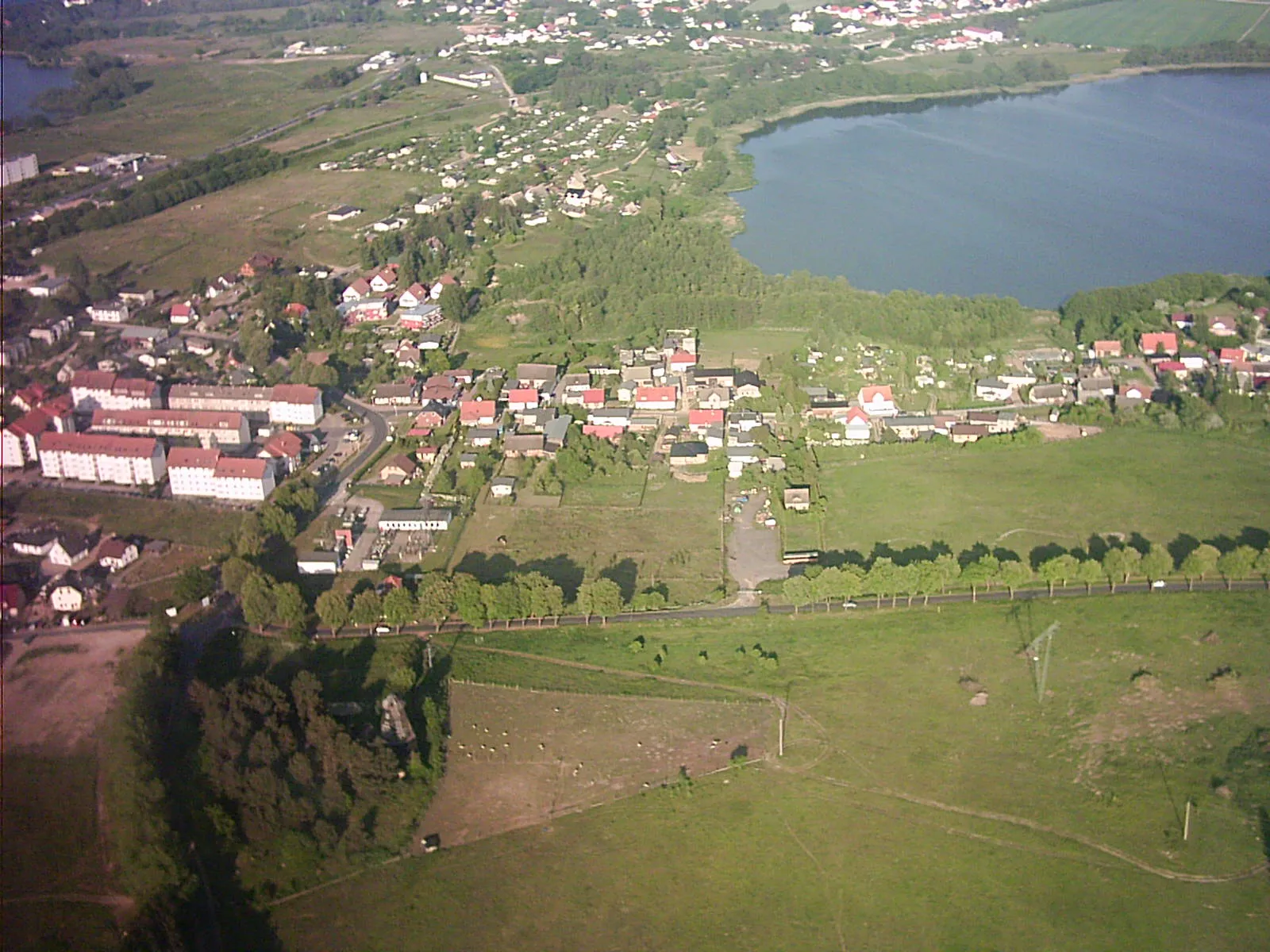
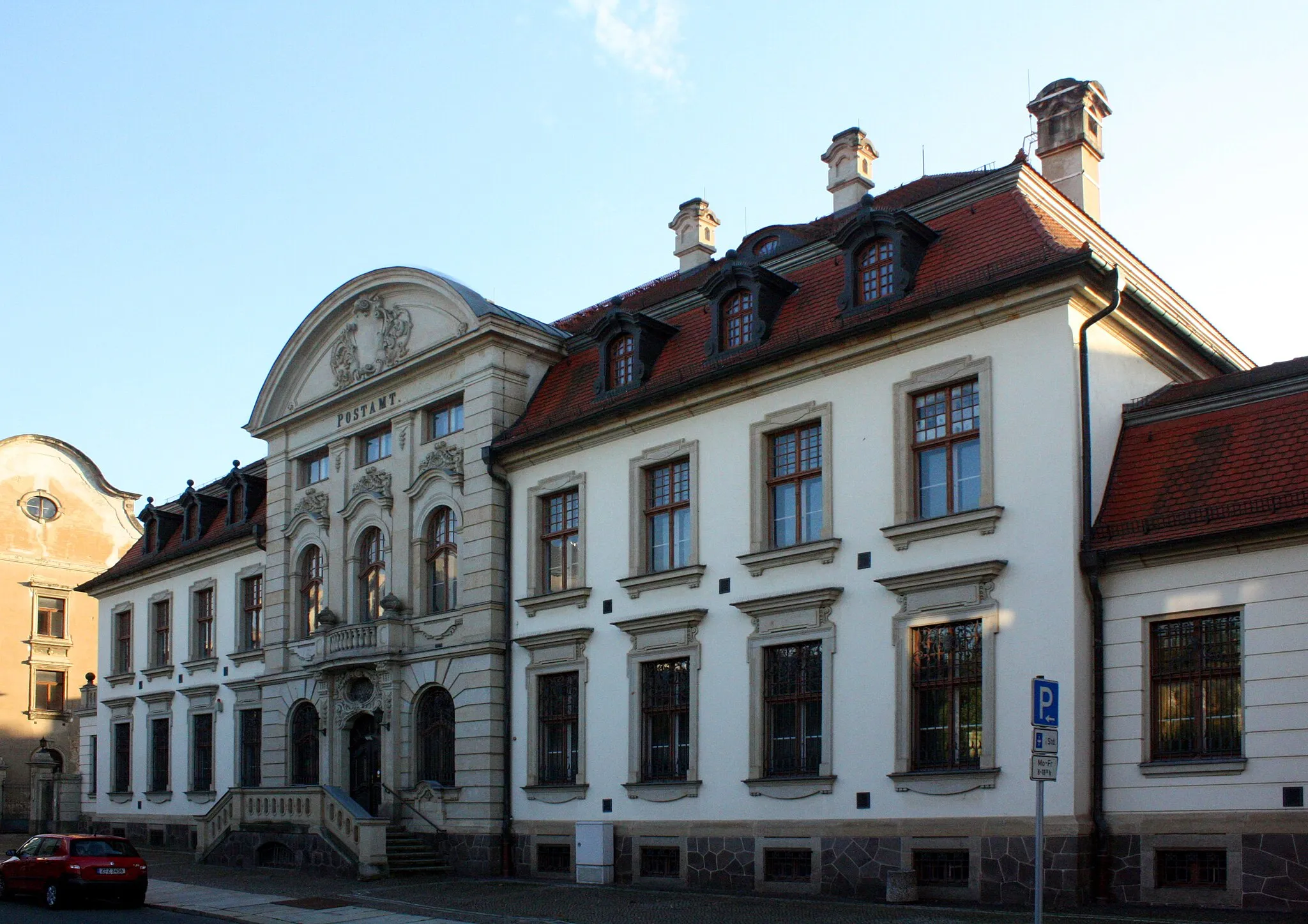
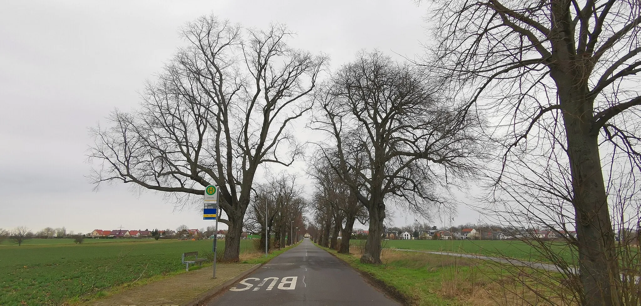
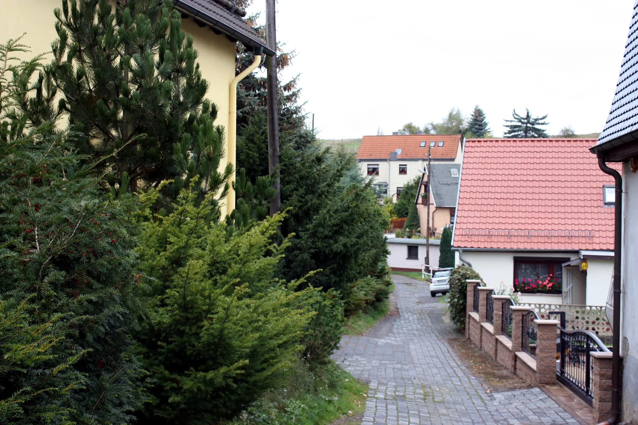
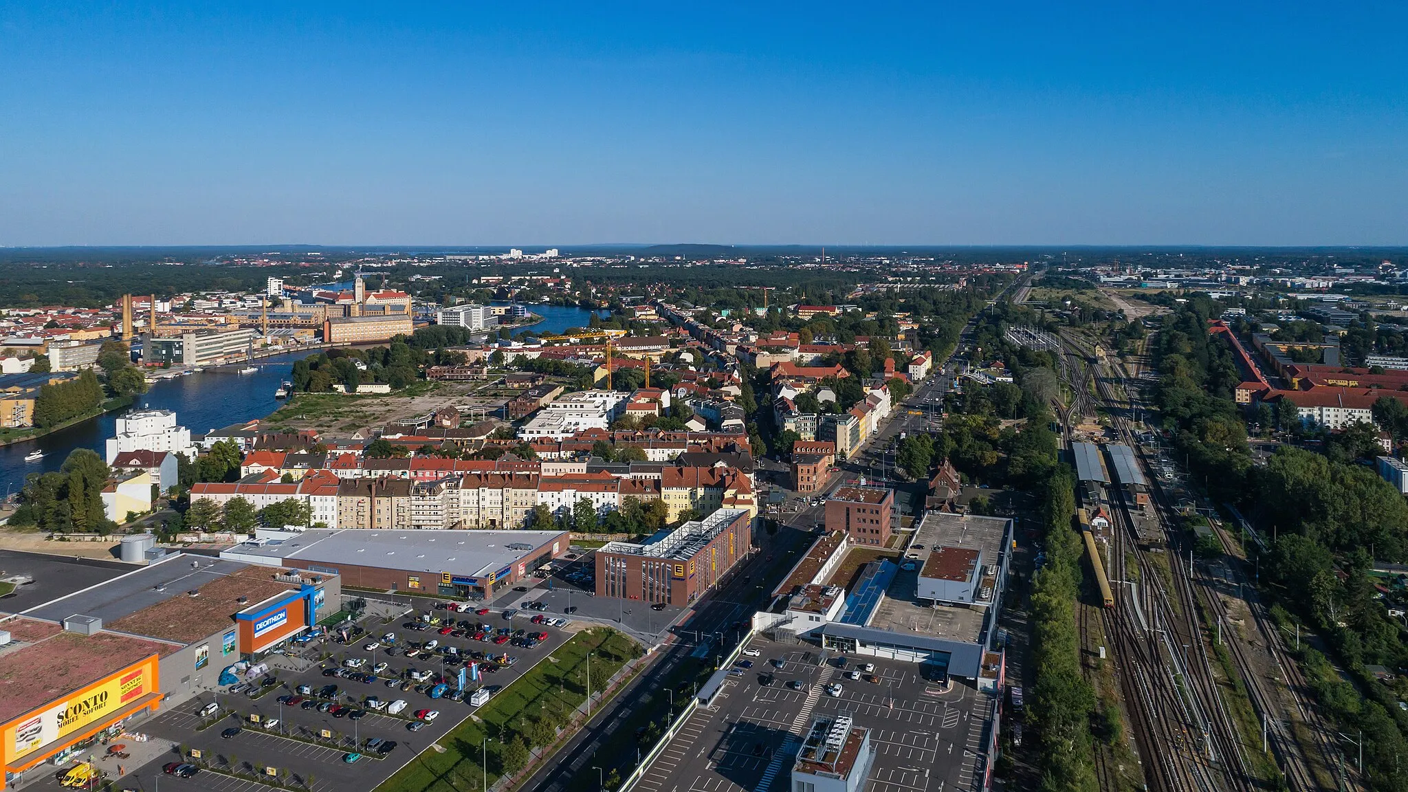
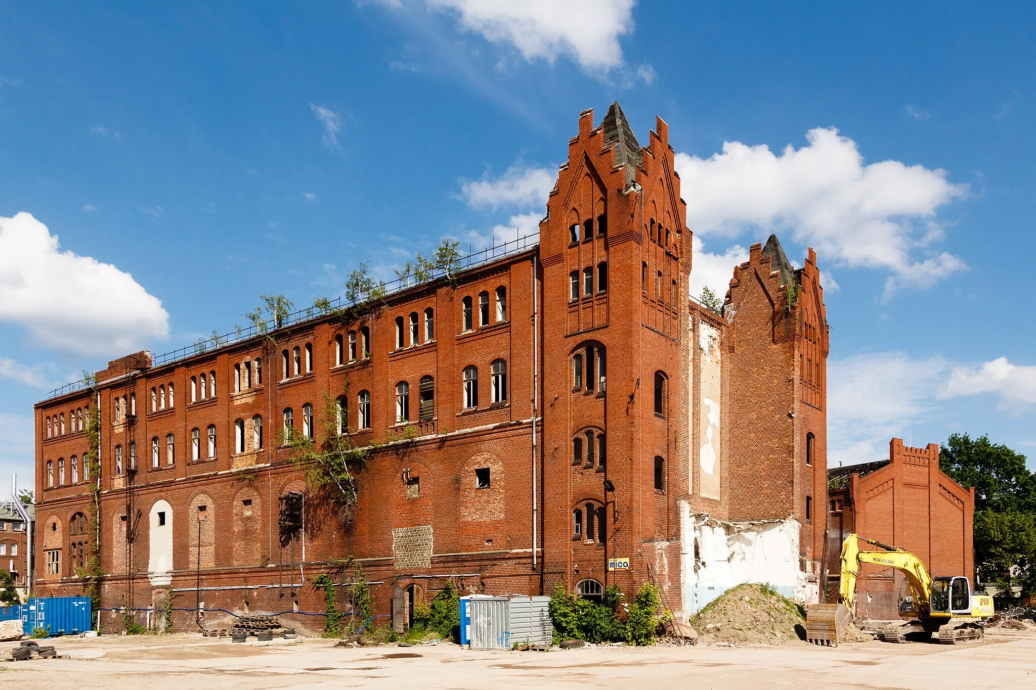
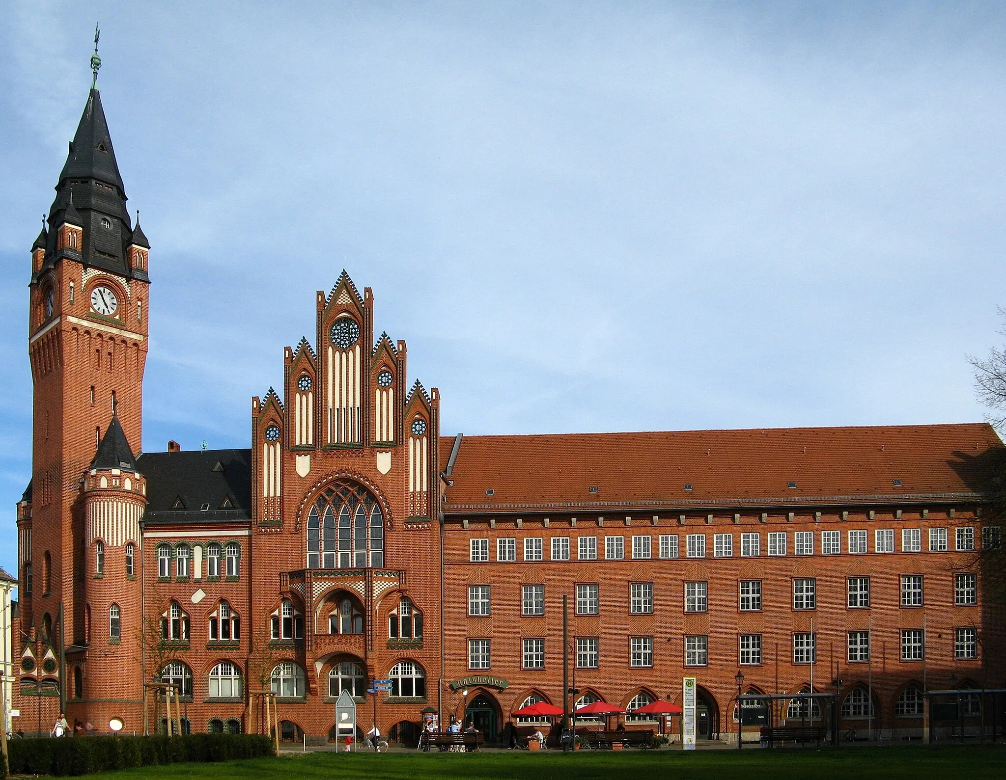
Oberschöneweide, Germany is a district located in Berlin. Similar to its neighboring district Niederschöneweide, Oberschöneweide may not offer any famous cycling spots or natural landscapes. However, cyclists can still enjoy exploring this vibrant and dynamic city district on two wheels. Oberschöneweide is well-connected with cycling paths and offers a plethora of cultural attractions, including museums, art galleries, and historic sites. In addition, cyclists can also discover the scenic waterfront along the Spree River, providing a pleasant cycling route with picturesque views. While not a traditional cycling destination, Oberschöneweide offers a unique and diverse experience for urban cyclists looking to combine their love for cycling with exploring the rich history and culture of Berlin.
Enjoy the scenic waterside views along this short gravel route
This picturesque gravel route is ideal for a short and refreshing ride, with a distance of 15 km and an ascent of 46 m. It is suitable for all skill levels and offers beautiful views of the waterfront. Rated 2 out of 5 in terms of difficulty, it is a great option for beginners or those looking for a relaxed ride. Highlights along the route include Niederschöneweide, a vibrant neighborhood with a rich industrial history, and Adlershof, a renowned science and technology hub. These highlights are worth stopping by, scoring 3 out of 5 in terms of attractiveness.
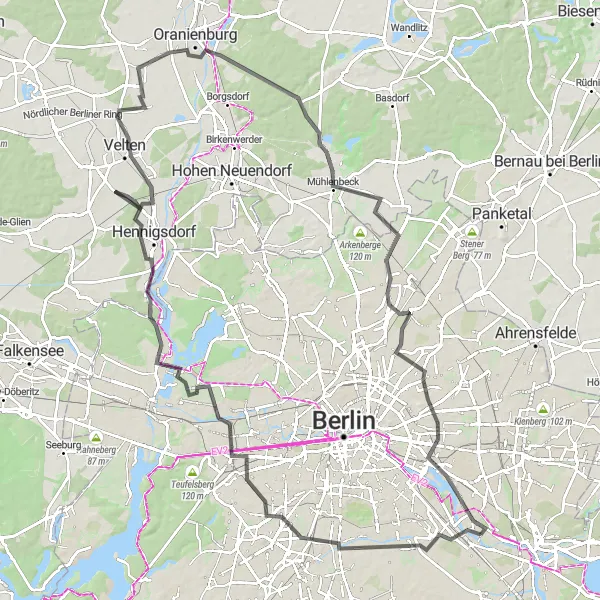
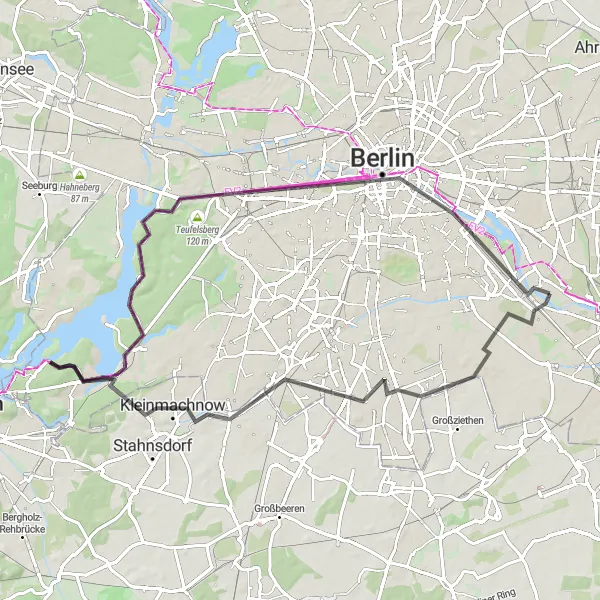
Discover Berlin's architectural gems on this road cycling adventure
Experience the architectural diversity of Berlin on this road cycling adventure through the city's iconic landmarks. With a distance of 110 km and an ascent of 339 m, this route is suitable for experienced cyclists looking for a challenge. Rated 5 out of 5 in terms of difficulty and 4 out of 5 for epicness, it provides a thrilling journey through Berlin's remarkable history and modernity. Highlights along the route include Tempelhof, a former airport turned public park with a rich history, the renowned Insulaner tower offering panoramic views of the city, and the impressive Schrotkugelturm wind turbine. These highlights are worth stopping by, scoring 5 out of 5 in terms of attractiveness.
Experience scenic countryside and stunning viewpoints on this road cycling route.
This road cycling route starting in Oberschöneweide takes you through beautiful landscapes and introduces you to various attractions. Begin your journey with a visit to Modellpark Berlin-Brandenburg, a miniature park showcasing famous landmarks of Berlin and Brandenburg. From there, the route will lead you to the enchanting Biesdorfer Höhe, a hill offering panoramic views of the surrounding countryside. Your adventure continues with a ride through picturesque villages like Woltersdorf and Gosen-Neu Zittau, as well as a stop at Aussichtspunkt Bunkerberg, where you can enjoy magnificent views from the top of a World War II bunker. The route also includes a visit to the iconic Müggelturm for breathtaking views of Müggelsee Lake. With a total distance of 53 km and an ascent of 113 m, this road cycling route provides a moderate challenge for well-trained amateur cyclists.
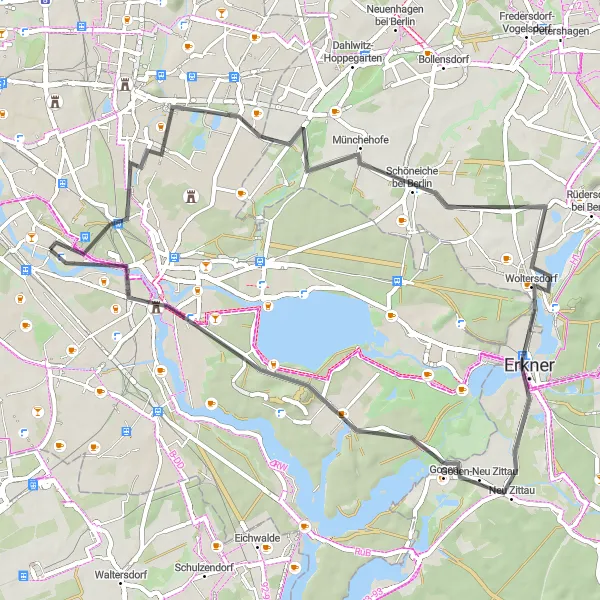
Embark on a road cycling escape to Köpenick and unveil the hidden treasures of this picturesque region.
Challenge yourself with an exhilarating road cycling route starting near Oberschöneweide and leading you through stunning landscapes to the enchanting town of Köpenick. This 87-kilometer adventure features a moderate ascent of 201 meters, perfect for well-trained amateurs. Explore the highlights of Püttberge, Erkner, Spreenhagen, Senzig, Wildau, Weinberg, Köpenick, and Aussichtspunkt Bunkerberg along the way, and immerse yourself in captivating natural vistas and cultural landmarks.
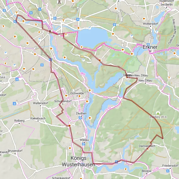
Historical castles and charming villages await you on this gravel cycling route.
This gravel cycling route starts in Oberschöneweide and takes you on a picturesque journey through diverse landscapes. You'll pass by the beautiful Schloss Köpenick, a stunning 16th-century castle situated on an island in the Dahme River. As you continue your ride, you'll pedal through peaceful forests, quaint villages like Wernsdorf and Schulzendorf, and enjoy scenic views from Paschenberg and Falkenberg. The route also includes a stop at the iconic Müggelturm, a 19th-century tower offering panoramic views of the surrounding area. With a total distance of 66 km and an ascent of 173 m, this route offers a moderate challenge for well-trained amateur cyclists.
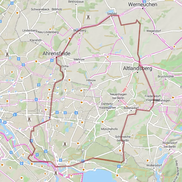
Cycle through the stunning Gardens of the World
This gravel route takes you through the beautiful Gardens of the World, offering a unique cycling experience. The overall distance is 65 km with an ascent of 148 m, making it suitable for well-trained amateurs. The route is rated 4 out of 5 in terms of difficulty and 3 out of 5 for epicness. Highlights along the route include the Eiche Oak at 14 km, the charming village of Blumberg at 21 km, and Altlandsberg at 36 km. These highlights are worth stopping by, scoring 4 out of 5 in terms of attractiveness.
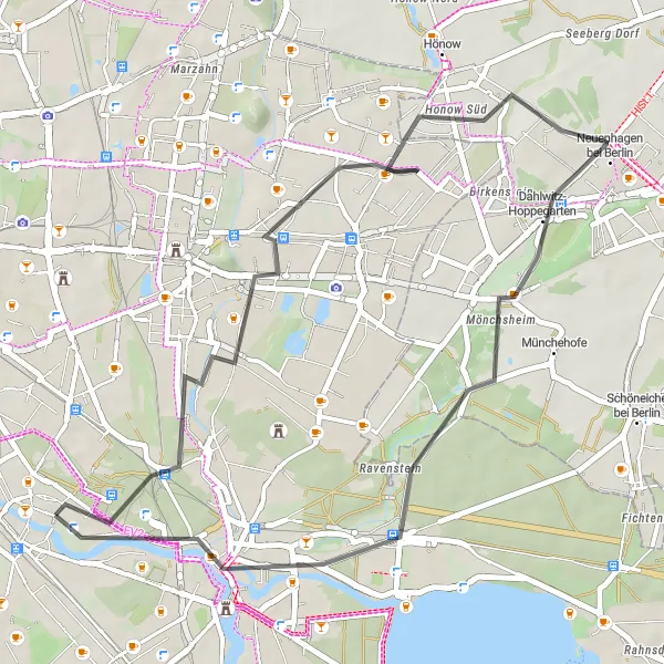
Explore Berlin's history and hidden gems on this road cycling route
Embark on a historical journey through Berlin, exploring its landmarks, hidden gems, and scenic viewpoints. With a distance of 39 km and an ascent of 65 m, this road cycling route is suitable for all skill levels. Rated 2 out of 5 in terms of difficulty and 2 out of 5 for epicness, it is a great choice for a leisurely exploration of the city's rich history. Highlights along the route include the Modellpark Berlin-Brandenburg, a miniature park depicting famous landmarks of the city, and Biesdorfer Höhe, offering a panoramic view. These highlights are worth stopping by, scoring 3 out of 5 in terms of attractiveness.
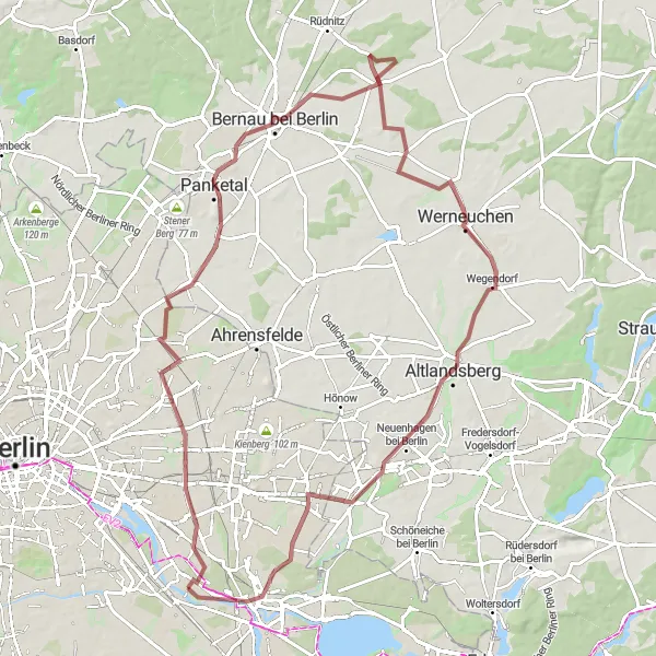
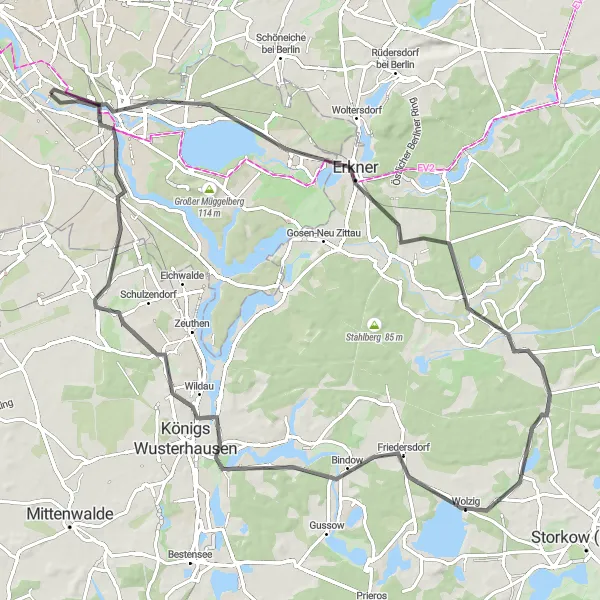
Experience a mix of castles, forest, and wildlife on this adventurous gravel route
Embark on an exciting gravel adventure through varied landscapes, including forests, castles, and wildlife reserves. With a distance of 84 km and an ascent of 183 m, this route offers a moderate challenge suitable for intermediate cyclists. Rated 3 out of 5 in terms of difficulty and 4 out of 5 for epicness, it provides a memorable experience for nature lovers and castle enthusiasts. Highlights along the route include Friedrichsfelde, a historic area with interesting architecture, the breathtaking Große Schräge hill with sweeping views, and Präriehunde, a nature reserve where you can observe adorable prairie dogs. These highlights are worth stopping by, scoring 4 out of 5 in terms of attractiveness.
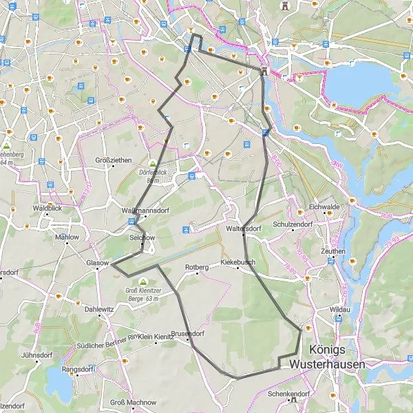
Immerse yourself in a journey of history and culture while exploring Köpenick near Oberschöneweide.
Take a leisurely road cycling route from Oberschöneweide to Köpenick and explore the region's rich cultural heritage. This 54-kilometer route will lead you through captivating landscapes with a moderate ascent of 127 meters. Highlights include Aussichtspunkt Bunkerberg, Schloss Köpenick, Waltersdorf, Pennigsberg, Groß Kienitzer Berge, Waßmannsdorf, and Johannisthal. Marvel at the stunning views, admire the impressive architecture, and uncover the hidden gems that lie along the way.
Embark on a challenging road cycling loop to Brommybalkon and conquer impressive hills along the way.
Get ready for a thrilling road cycling adventure starting from Oberschöneweide and leading you on a challenging loop to Brommybalkon. Covering a distance of 76 kilometers and featuring a demanding ascent of 323 meters, this route is designed for experienced cyclists seeking an extra level of challenge. Enjoy the highlights of Johannisthal, Schlehenberg, Teltow, Schäferberg, Havel, Charlottenburg, Brommybalkon, and Linden-Pavillion, and marvel at the stunning views and historical landmarks that dot the landscape.
Cycling routes nearby:


Nearby regions: